The best walks and hikes around Uder
4.7
(6790)
22,306
hikers
49
hikes
Hiking around Uder offers a network of trails primarily featuring river valleys, open countryside, and elevated viewpoints. The landscape is characterized by gentle elevation changes, making it suitable for various hiking abilities. Routes often provide vistas of the surrounding region and incorporate natural features such as the Leine River.
Best hiking trails around Uder
- The most popular hiking route is Leine River Crossing – Heiligenstadt Train Station loop from Uder, a 5.8 miles (9.3 km) trail that takes about…
Last updated: September 25, 2026
4.5
(2)
42
hikers
9.43km
02:24
30m
30m
Moderate hike. Good fitness required. Easily-accessible paths. Suitable for all skill levels.
4.8
(8)
29
hikers
5.18km
01:32
150m
150m
Easy hike. Great for any fitness level. Easily-accessible paths. Suitable for all skill levels.

4.8
(9)
26
hikers
6.93km
01:53
100m
100m
Easy hike. Great for any fitness level. Easily-accessible paths. Suitable for all skill levels.
4.8
(16)
46
hikers
8.08km
02:26
250m
250m
Moderate hike. Good fitness required. Easily-accessible paths. Suitable for all skill levels.
4.6
(5)
18
hikers
10.4km
03:03
280m
280m
Moderate hike. Good fitness required. Easily-accessible paths. Suitable for all skill levels.
Get access to more routes and recommendations from other explorers.
Already have an account?
Our route recommendations are based on thousands of hikes, rides, and runs completed by other people on komoot.
Start today with a free account
Your next adventure awaits.
Tips from the Community

In Heiligenstadt, the Leine is still quite young. Its level is monitored here, as it can also be quite different at times.
10
0
The chapel is a beautiful place of worship of the great Saint Elisabeth of Thuringia. It is located in the middle of the forest on a small path at the upper end of the Way of the Cross.
3
0
From Heilbad Heiligenstadt train station, several beautiful hiking trails around the city can be easily reached on foot. The connections to Göttingen, Kassel, Nordhausen or Erfurt are very good.
8
0

always a nice destination, beautiful chapel
0
0
very nice, it is right next to the Thalwender cross
0
0
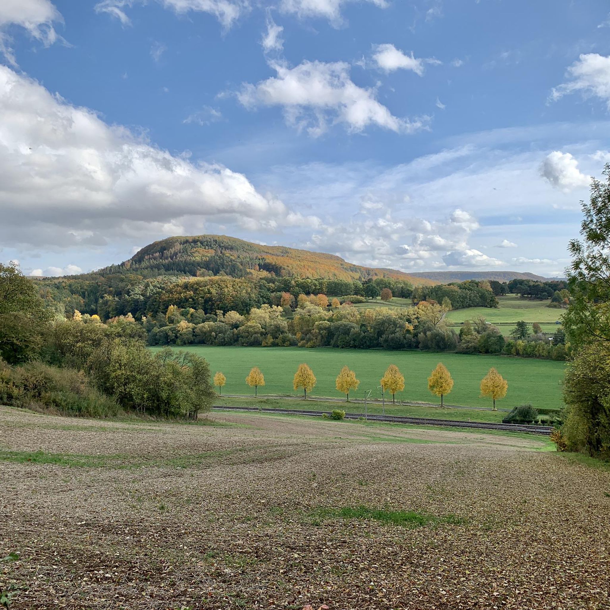
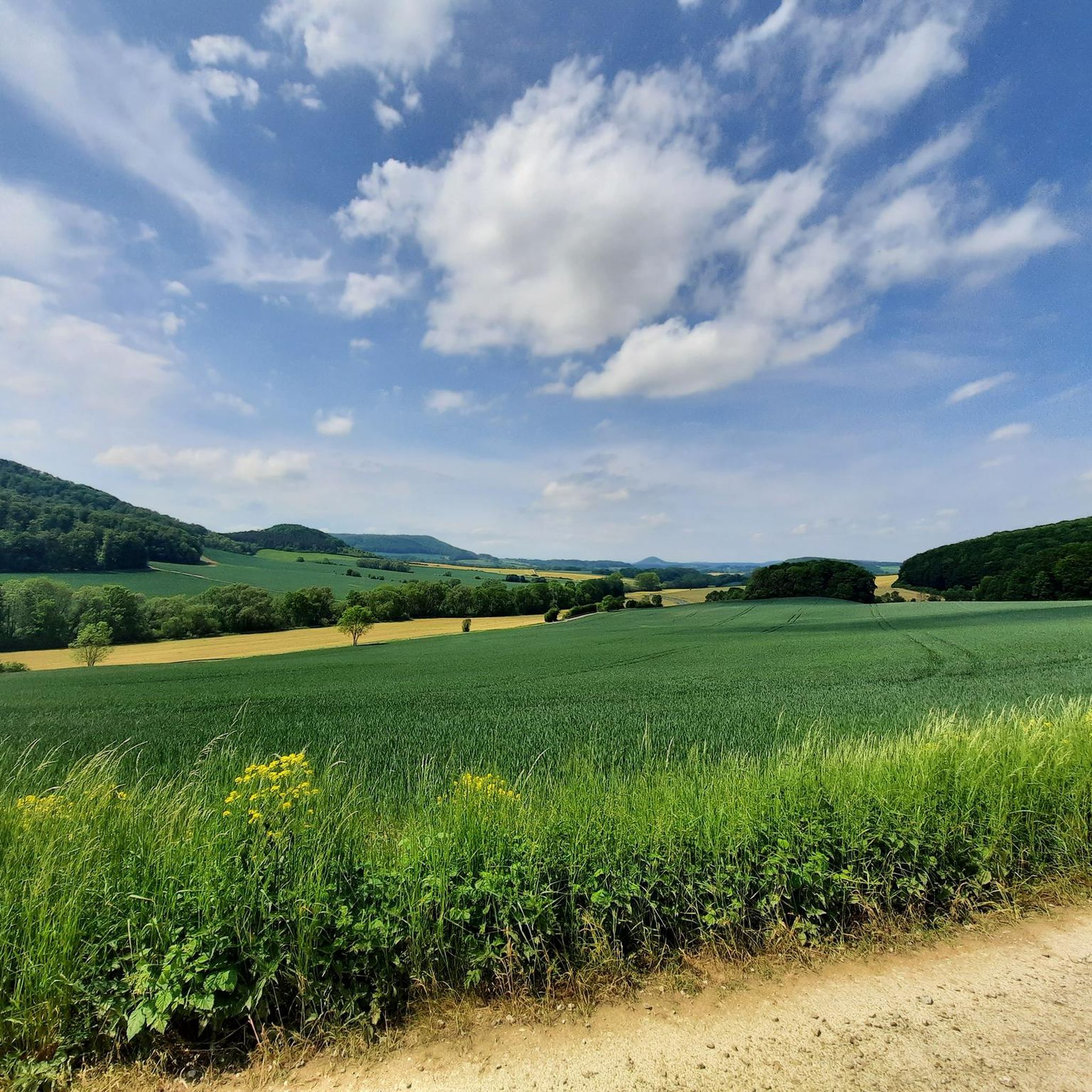
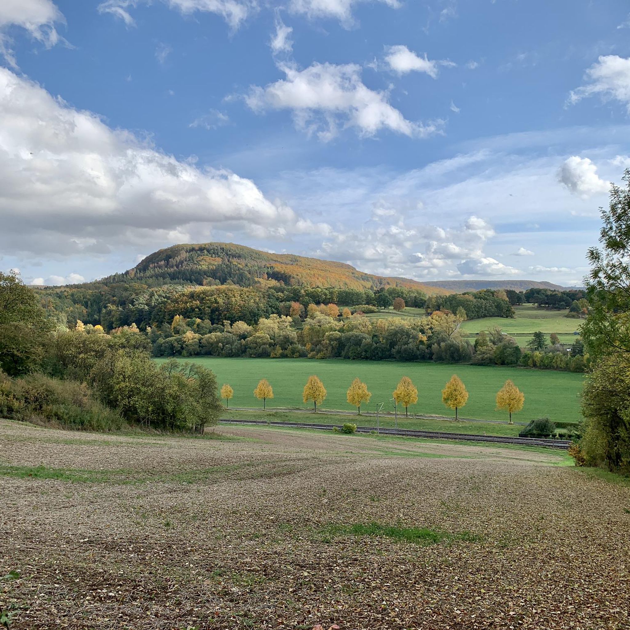
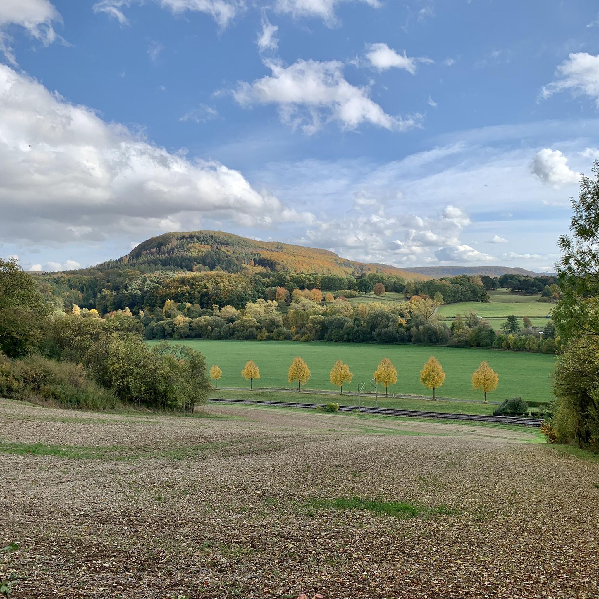
from the cycle path Uder to Lenterode you can admire this view
0
0
here you can see the water level of the Leine
1
0
Frequently Asked Questions
What kind of terrain can I expect when hiking around Uder?
Hiking around Uder primarily features trails through river valleys, open countryside, and elevated viewpoints. The landscape is characterized by gentle elevation changes, making it accessible for various hiking abilities. You'll often find paths offering vistas of the surrounding region and incorporating natural features like the Leine River.
How many hiking trails are available in Uder?
There are over 50 hiking routes available around Uder, catering to a range of preferences. This includes 28 easy routes, 20 moderate routes, and 3 more challenging options.
Are there any circular hiking routes in Uder?
Yes, Uder offers several circular hiking routes. For example, the View of Uder and Wessen – Wessenblick Lookout loop from Uder is an easy 3.2-mile (5.2 km) path offering panoramic views. Another option is the Wayside Shrine loop from Uder, a 4.3-mile (6.9 km) trail through rural landscapes.
What do other hikers enjoy most about hiking in Uder?
The area is highly rated by the komoot community, with an average score of 4.8 stars from over 270 reviews. Hikers often praise the scenic viewpoints, the accessible countryside paths, and the variety of routes that cater to different skill levels.
Are there any viewpoints or scenic spots along the trails in Uder?
Many routes around Uder offer excellent viewpoints. For instance, the View of Uder and Wessen – Wessenblick Lookout loop from Uder provides panoramic views of Uder and Wessen. Another route, View of Uder and Wessen – Thalwenden Cross Viewpoint loop from Uder, also features notable vistas.
Are there any caves or interesting rock formations to explore near Uder?
Yes, the region around Uder features several interesting geological sites. You can explore the Hurkutstein Rock Formation and Hermit's Cave, the Dwarf Cave, or the Abri Walterstein I and Dreilochnadel. There's also the Bernterode Grotto.
Can I find any waterfalls while hiking around Uder?
Yes, there are several waterfalls in the vicinity of Uder. Notable ones include the Geislede Waterfall and the Regentrude Statue, the Geislede Waterfall, and an Idyllic Waterfall.
Are there any longer, more challenging hikes in Uder?
While many routes are easy to moderate, Uder does offer some longer options. The View of Uder and Wessen – Thalwenden Cross Viewpoint loop from Uder is a moderate 6.5-mile (10.4 km) trail with significant elevation gain, taking around 3 hours to complete. There are 3 routes classified as difficult in the area for those seeking a greater challenge.
Are there any routes that follow the Leine River?
Yes, the Leine River is a prominent natural feature in the area. The Leine River Crossing – Heiligenstadt Train Station loop from Uder is a popular 5.8-mile (9.3 km) moderate trail that follows the river for a significant portion.
What is the typical duration for hikes in Uder?
Hikes around Uder vary in length and duration. Many easy routes can be completed in 1.5 to 2 hours, such as the Wayside Shrine loop from Uder (about 1 hour 55 minutes). Longer, moderate trails like the Leine River Crossing – Heiligenstadt Train Station loop from Uder typically take around 2 hours 25 minutes.
Most popular attractions around Uder

Get inspired with the komoot mobile app


Explore more
Browse the best Hikes in other regions.
