The best running trails around Valdagno
4.0
(84)
1,688
runners
87
runs
Jogging around Valdagno offers a diverse landscape, from the gentle, paved paths of the Agno Valley to more challenging trails in the Venetian Prealps. The region is characterized by the Agno River, which provides accessible running routes, and the surrounding hills and mountains, including the Piccole Dolomiti, offering significant elevation gains. Joggers can experience varied terrain, from river-side routes to panoramic ridges and forested areas.
Best jogging routes around Valdagno
- The most popular jogging route is Agno – Torrente Agno…
Last updated: August 28, 2026
27
runners
6.47km
00:40
40m
40m
Moderate run. Good fitness required. Mostly paved surfaces. Suitable for all skill levels.
4.0
(1)
74
runners
14.8km
01:55
540m
540m
Hard run. Very good fitness required. Sure-footedness, sturdy shoes and alpine experience required.

Sign up for free
64
runners
15.4km
01:58
510m
510m
Hard run. Very good fitness required. Sure-footedness, sturdy shoes and alpine experience required.
59
runners
34.6km
04:46
1,370m
1,370m
Hard run. Very good fitness required. Sure-footedness, sturdy shoes and alpine experience required.
4.0
(1)
47
runners
11.2km
01:34
480m
480m
Hard run. Very good fitness required. Mostly paved surfaces. Suitable for all skill levels.
Get access to more routes and recommendations from other explorers.
Sign up for free
Already have an account?
Our route recommendations are based on thousands of hikes, rides, and runs completed by other people on komoot.
Start today with a free account
Your next adventure awaits.
Login or Signup
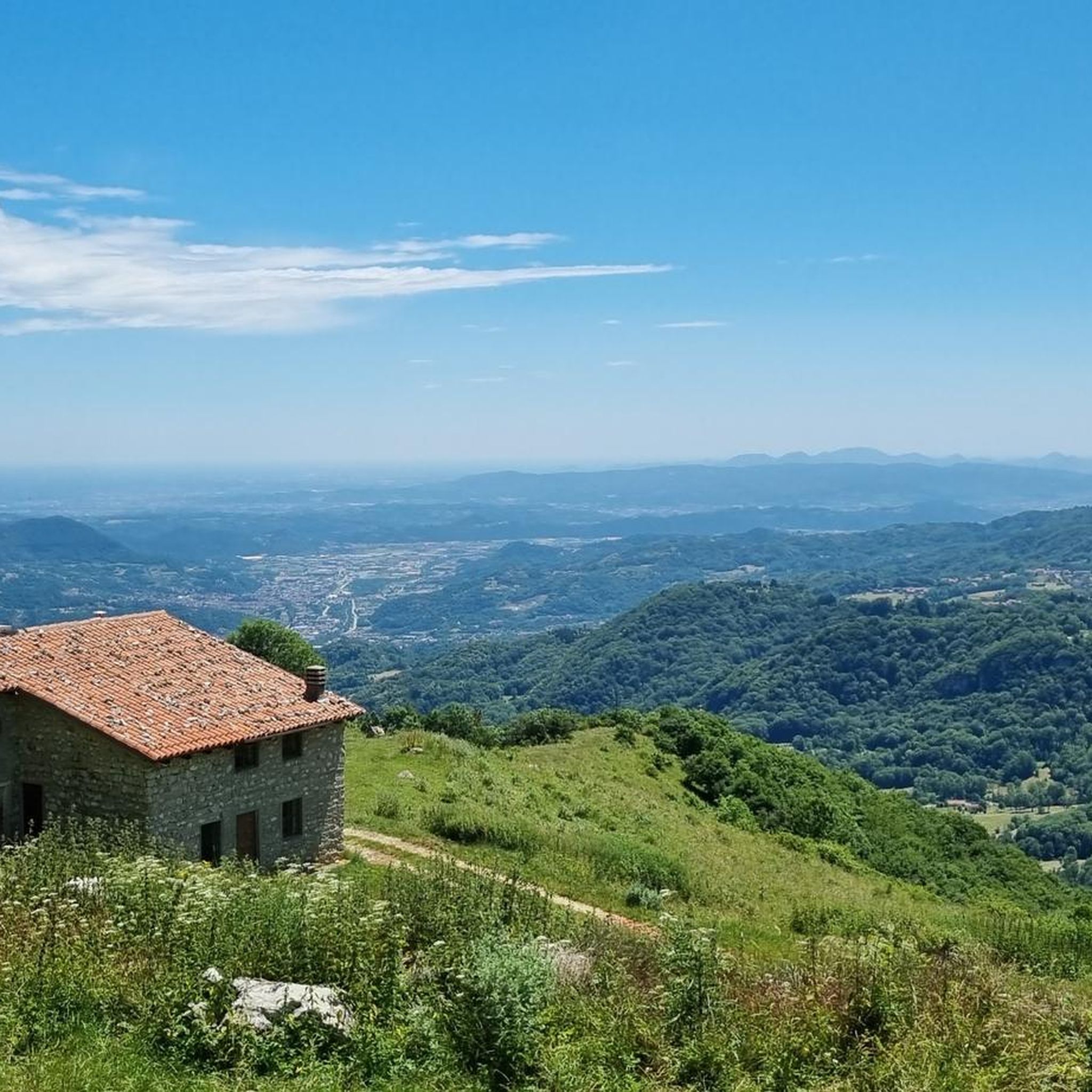
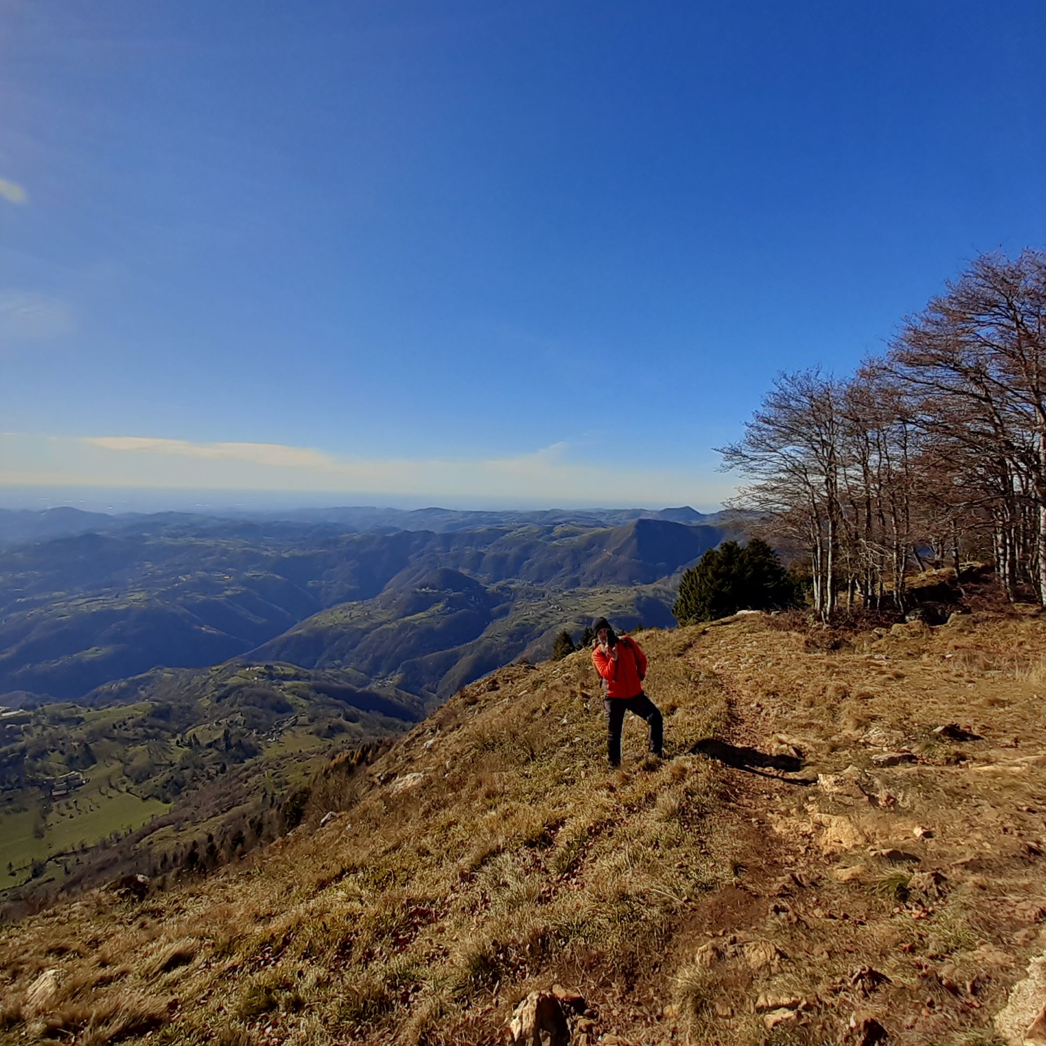
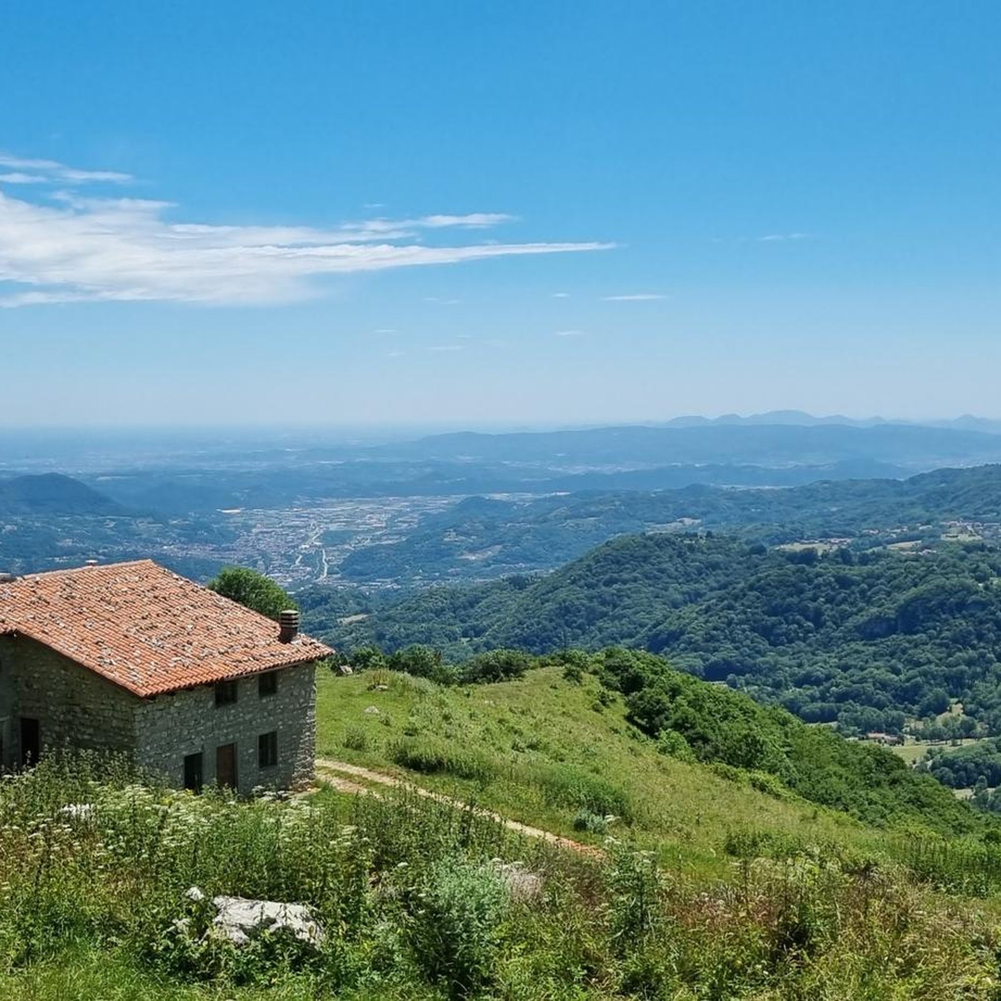
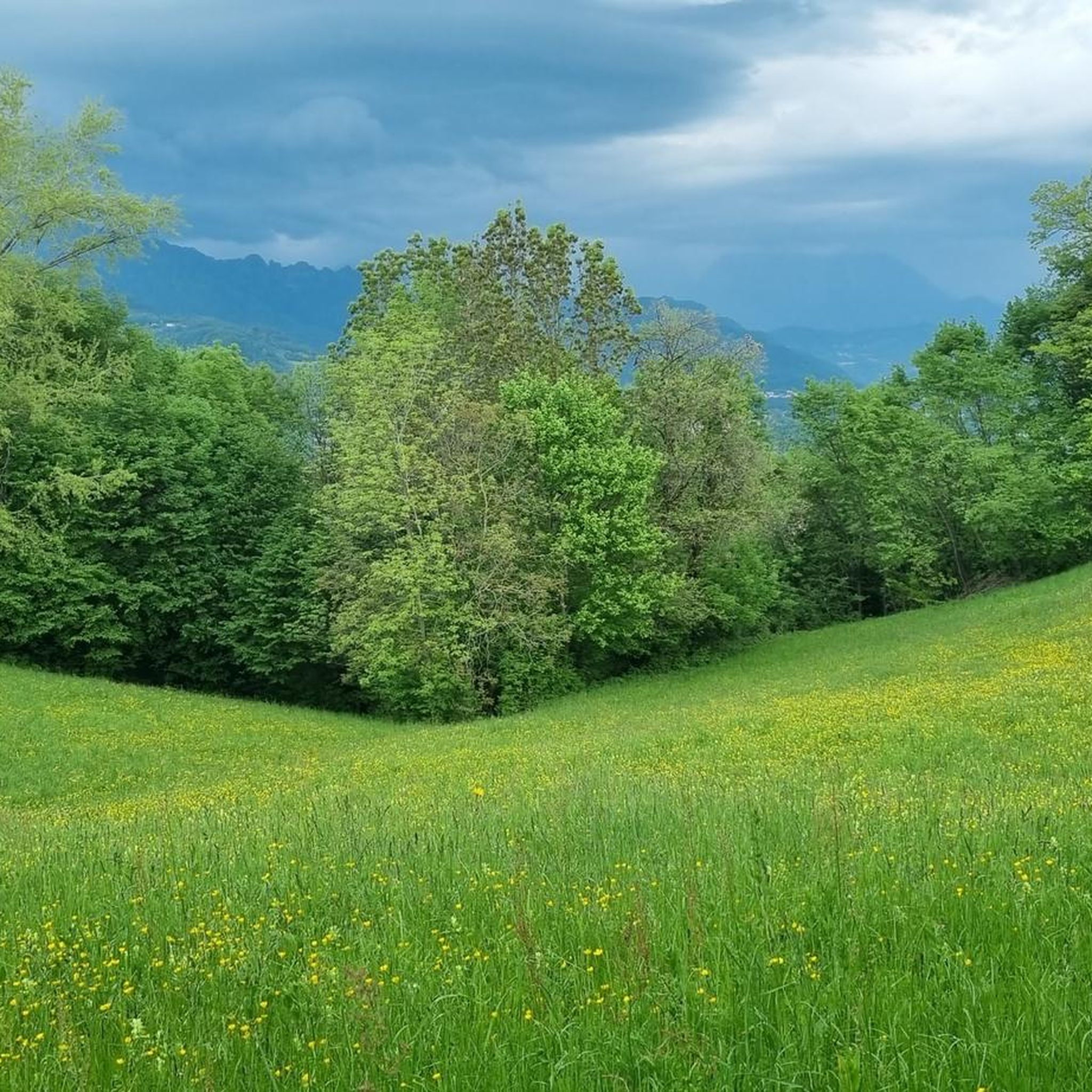

Tips from the Community

For the beauty of the place and the fun trails.
0
0

easily accessible by gravel
0
0

Accessible all year round
1
0
Strategic area as a starting point for many trails
0
0

Not far from the small hamlet of Castelvecchio, this large wooden cross and the benches beneath it invite you to sit and contemplate the view.
0
0

La Favorita Park is a charming and historic green oasis within the city. It was commissioned by textile entrepreneur Gaetano Marzotto in the 1930s as part of the vast and ambitious "Social City" project of Valdagno: a progressive model of coexistence between manufacturing and urban planning, which included housing for workers, villas for managers, a kindergarten, schools, a hospital, sports facilities, a cinema, and welfare and recreational facilities. In addition to the ornamental fountain and lateral greenhouses (currently under renovation), the park included a central villa, the foundations of which are still visible; however, work was interrupted by the outbreak of World War II. Spread across terraces accessible by a monumental central staircase, it is crowned by long, elegant stone balustrades. It is a relaxing oasis of peace, equipped with restrooms and a bar. It is open to the public from November 1st to April 30th, from 8:00 am to 7:30 pm; from May 1st to October 31st, from 8:00 am to 9:00 pm. https://www.comune.valdagno.vi.it/citta/vivere-valdagno/la-favorita-4?force_web https://it.wikipedia.org/wiki/Parco_la_Favorita
2
0

The summit of Civillina is wide, grassy and very panoramic with a wide view of the Vicenza and Trentino Prealps, today unfortunately covered by clouds and mist. There are also numerous trenches and other very well preserved or recovered war artefacts. Finally, congratulations for the comprehensive explanations posted on numerous information panels along the entire itinerary.
0
0
Frequently Asked Questions
How many running routes are available around Valdagno?
Valdagno offers a wide variety of running routes, with over 90 different trails to explore. These range from easy, flat paths to challenging mountain runs, catering to all fitness levels.
Are there easy running routes suitable for beginners or a relaxed jog?
Yes, Valdagno has several easy running options. The Agno – Torrente Agno loop from Valdagno is a moderate 9.9 km route that follows the river, offering mostly paved surfaces. Another similar option is the Agno – Torrente Agno loop from Novale, which is 10.9 km and also moderate, providing a gentle experience along the Agno River.
What kind of terrain can I expect on Valdagno's running trails?
The running trails around Valdagno offer diverse terrain. You'll find everything from mostly paved surfaces along the Agno River to more demanding routes with significant elevation gains in the surrounding hills and the Piccole Dolomiti. Expect a mix of river valleys, panoramic ridges, and forested areas.
Are there any circular running routes in Valdagno?
Many of Valdagno's running routes are designed as loops, allowing you to start and finish in the same location. Examples include the popular Agno – Torrente Agno loop from Valdagno and the more challenging Col del Comunno Gravel Trail – Zovo Pass loop from Passo Zovo.
What natural features or landmarks can I see while running in Valdagno?
Valdagno's routes often pass through beautiful natural landscapes. You can experience green valleys, dense woods, and scenic ridges. Some trails, like the 'Braggion Path – circular route of Valle del Boia' (mentioned in region research), feature waterfalls and panoramic views. For those venturing higher, mountain huts like the Cesare Battisti Hut at Tre Croci and the Pompeo Scalorbi Hut offer rewarding destinations and views.
Are there any running routes with significant elevation gain for a challenge?
Absolutely. For a more challenging run with considerable elevation, consider routes like the Col del Comunno Gravel Trail – Zovo Pass loop from Passo Zovo. This 14.8 km trail involves over 500 meters of ascent, offering a demanding workout and rewarding views. Another option is the Bicibar loop from Valdagno, which is also rated difficult.
What do other runners say about the trails in Valdagno?
The running routes in Valdagno are highly regarded by the komoot community, with an average rating of 4.2 stars from over 50 reviews. Runners often praise the diverse landscapes, from gentle river paths to challenging mountain trails, and the well-maintained nature of the routes.
Are there any family-friendly running options in Valdagno?
For families, the flatter, paved sections along the Agno River are ideal. Routes like the Agno – Torrente Agno loop from Valdagno offer a safe and enjoyable environment for a family jog or walk, away from heavy traffic.
Can I bring my dog on the running trails in Valdagno?
While specific regulations can vary, many natural trails in the Valdagno area are generally dog-friendly, especially if your dog is well-behaved and kept on a leash. The river-side paths are often suitable for running with dogs. Always be mindful of local signage and other trail users.
Is there parking available near the running routes?
Yes, many popular starting points for running routes in Valdagno, especially those within or near the town, offer parking facilities. For routes starting from specific passes or villages like Passo Zovo or Novale, you will typically find designated parking areas nearby.
What is the best time of year to go running in Valdagno?
Valdagno offers good running conditions for much of the year. Spring and autumn provide pleasant temperatures and beautiful scenery. Summer can be warm, so early morning or late evening runs are often preferred. Winter running is possible, especially on lower elevation trails, but higher mountain routes may require appropriate gear for snow or ice.
Most popular routes around Valdagno
Most popular attractions around Valdagno

Get inspired with the komoot mobile app


Explore more
Browse the best Running Trails & Routes in other regions.
