The best mountain hikes around Brentonico
4.8
(1079)
8,582
hikers
107
hikes
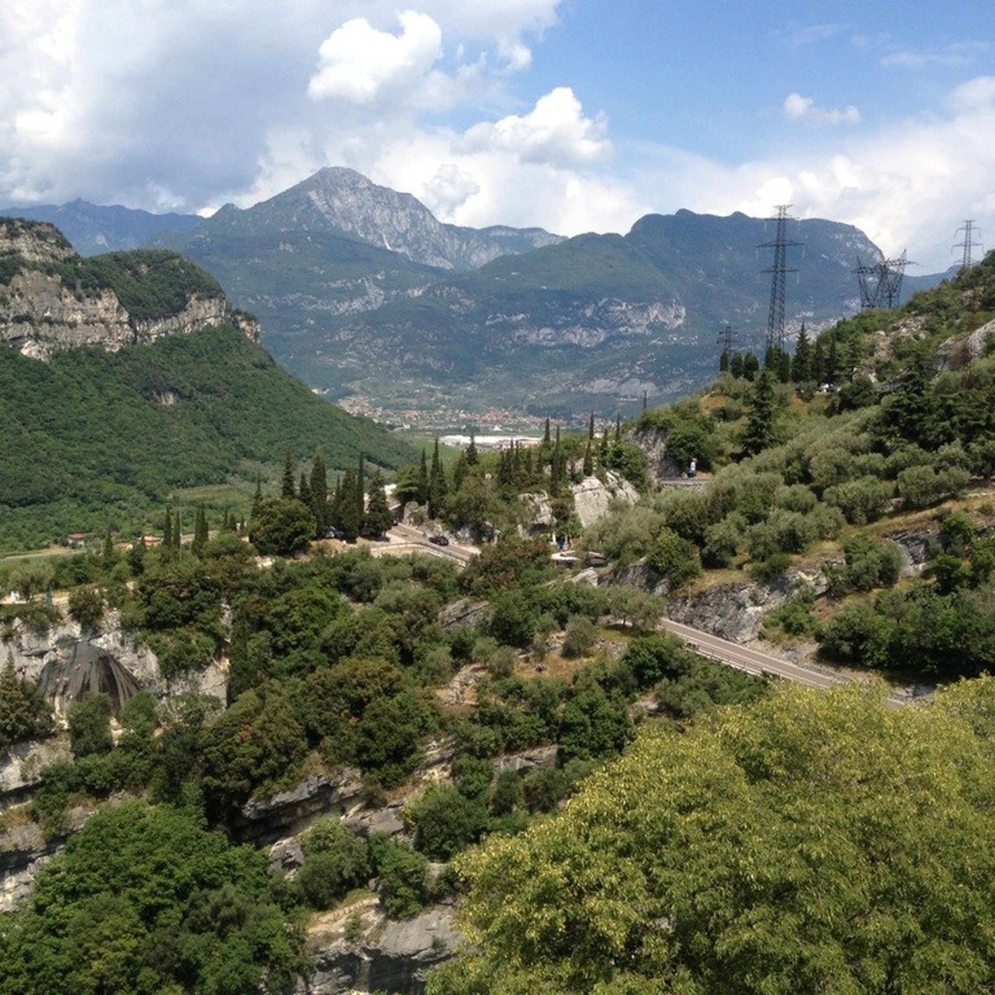
Mountaineering around Brentonico offers a diverse landscape characterized by the foothills of Monte Baldo, mountain passes, and panoramic viewpoints. The region, part of Trentino, features varied terrain from high-altitude meadows to more rugged mountain trails. Limestone formations and dense woodlands are common features across the area's elevation changes.
Best mountaineering routes around Brentonico
- The most popular mountaineering route is Bocca Poltrane – Bocca del Creer loop from San Giacomo, a 7.5 miles (12.1 km) trail that takes 5 hours…
Last updated: July 6, 2026
4.9
(56)
255
hikers
Hard mountaineering route. Very good fitness required. Sure-footedness, sturdy shoes and alpine experience required.
4.9
(34)
261
hikers
4.35km
02:03
290m
290m
Hard mountaineering route. Good fitness required. Sure-footedness, sturdy shoes and alpine experience required.

Sign up for free
4.8
(17)
78
hikers
Moderate mountaineering route. Good fitness required. Mostly accessible paths. Sure-footedness required.
5.0
(4)
39
hikers
Hard mountaineering route. Very good fitness required. Sure-footedness, sturdy shoes and alpine experience required.
5.0
(6)
41
hikers
12.3km
04:59
650m
650m
Hard mountaineering route. Good fitness required. Sure-footedness, sturdy shoes and alpine experience required.
Get access to more routes and recommendations from other explorers.
Sign up for free
Already have an account?
Our route recommendations are based on thousands of hikes, rides, and runs completed by other people on komoot.
Start today with a free account
Your next adventure awaits.
Login or Signup
Popular around Brentonico

The Path of Peace – journey into Trentino's history
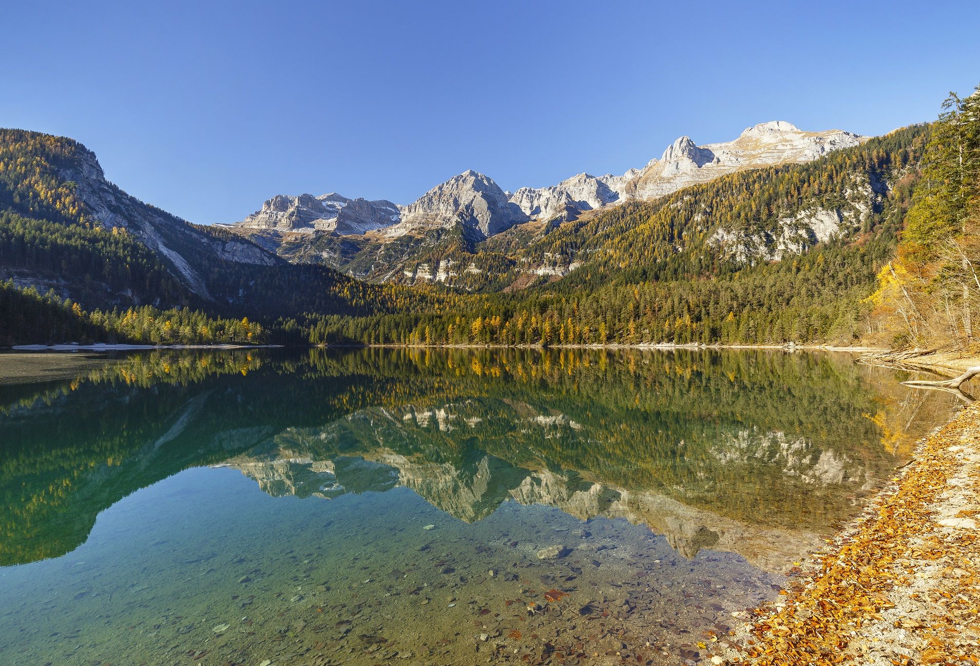
Prolonging the summer – colourful hikes through Trentino in Italy
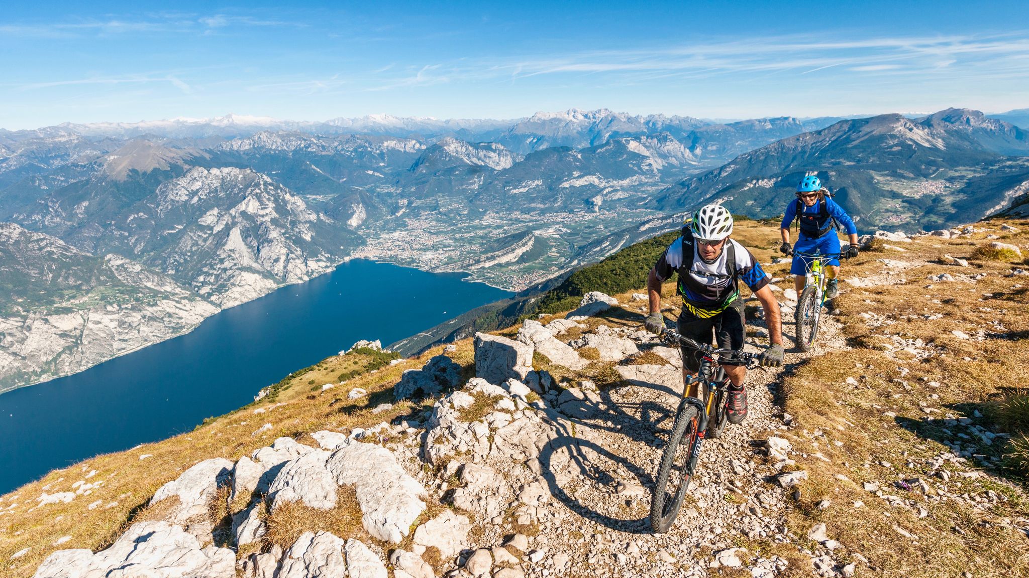
Mediterranean bike tours in alpine altitudes
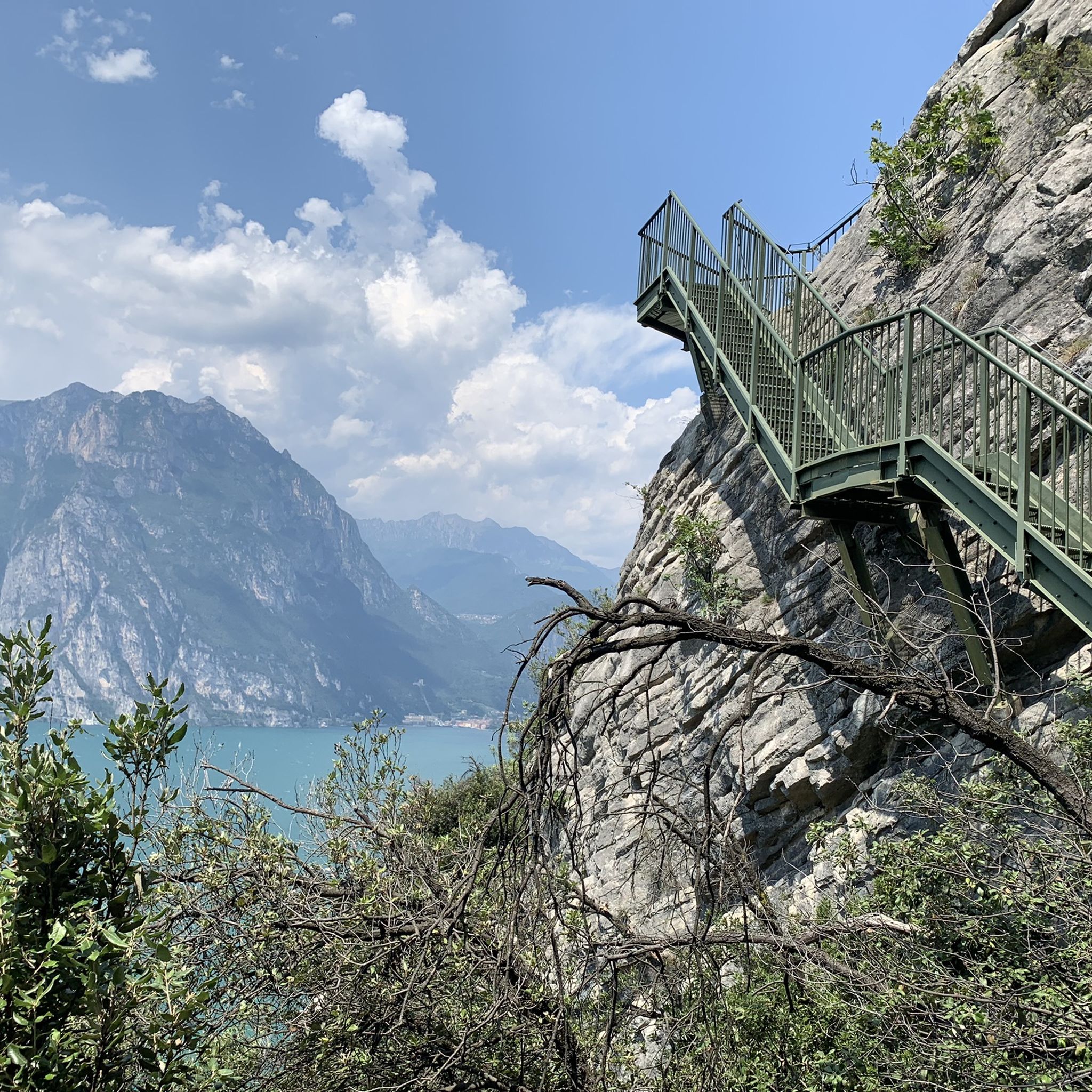
Hiking around Brentonico
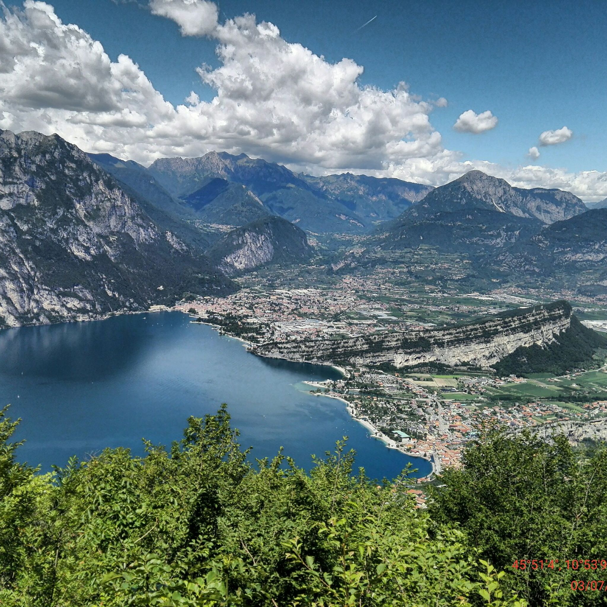
MTB Trails around Brentonico
Cycling around Brentonico
Road Cycling Routes around Brentonico
Gravel biking around Brentonico
Running Trails around Brentonico
Other adventures around Brentonico

Tips from the Community

Kiosk with WC available. Drinking fountain also present. The local bouldering community obviously meets here.
0
0
Please be sure to read a via ferrata description beforehand. You are also welcome to read my Komoot tour description. Not for beginners (C/D) and without an emergency exit. Otherwise, it is extremely beautiful and recommended. Including ascent and descent, the adventure takes about 4 hours.
0
0

Scenically very impressive. Few real via ferrata passages https://www.via-ferrata.de/klettersteige/topo/sentiero-attrezzato-gerardo-sega
0
0

Beautiful and unique night view.
0
0


Great via ferrata to start with 💪🏼
0
0

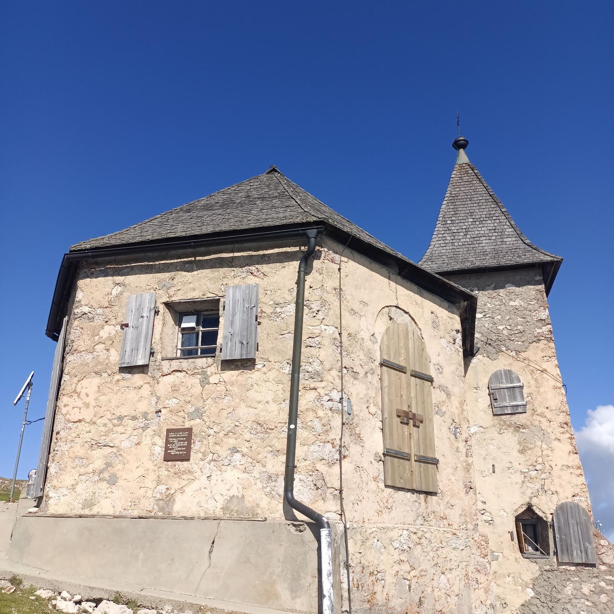
Beautiful sanctuary with a view of the Mori plain. In the surrounding area there are large grassy spaces, equipped with picnic benches. The boulders present are widely used by enthusiasts for short climbs.
0
0

The peaks of Monte Baldo line up beautifully one after the other
0
0
Frequently Asked Questions
How many mountaineering routes are available around Brentonico?
Brentonico offers a wide range of mountaineering routes, with nearly 120 tours available on komoot. These routes vary in difficulty, catering to different experience levels.
Are there easy mountaineering routes suitable for beginners or families in Brentonico?
Yes, Brentonico has several easy mountaineering routes. For a gentle option, consider the Family Meadow – Paragliding on Monte Baldo loop from Dosso Moreont Alto, which is 5.8 km long and takes about 1 hour 50 minutes. This route offers pleasant meadows and views of Monte Baldo.
What are some challenging mountaineering routes for experienced hikers in Brentonico?
For experienced mountaineers, Brentonico offers numerous difficult routes. One popular option is the Bocca Poltrane – Bocca del Creer loop from San Giacomo, a 12.1 km trail with significant elevation gain, typically taking over 5 hours to complete. Another demanding route is the Cima delle Pozzette – Monte Baldo Panoramic Trail loop from Dosso Moreont Alto, spanning 16.5 km with extensive panoramic views.
Are there any circular mountaineering routes in Brentonico?
Many mountaineering routes in Brentonico are circular, allowing you to return to your starting point without retracing your steps. Examples include the Creer Pass – Graziani Hut loop from Rifugio Altissimo "Damiano Chiesa", a moderate 9 km route, and the Strorina 1790 m loop from Parcheggio Varagna, which is 9.4 km long.
What kind of natural attractions or landmarks can I expect to see along the routes?
The Brentonico region is rich in natural beauty and historical sites. You might encounter stunning waterfalls like Varone Waterfall and Botanical Garden or Sopino Waterfall. The area also features historic castles such as Tenno Castle, offering glimpses into the region's past.
What is the best season for mountaineering in Brentonico?
The best season for mountaineering in Brentonico is typically from late spring to early autumn (May to October). During these months, the weather is generally stable, and trails are clear of snow, offering ideal conditions for exploring the diverse landscapes and panoramic views.
Is it possible to go mountaineering in Brentonico during winter?
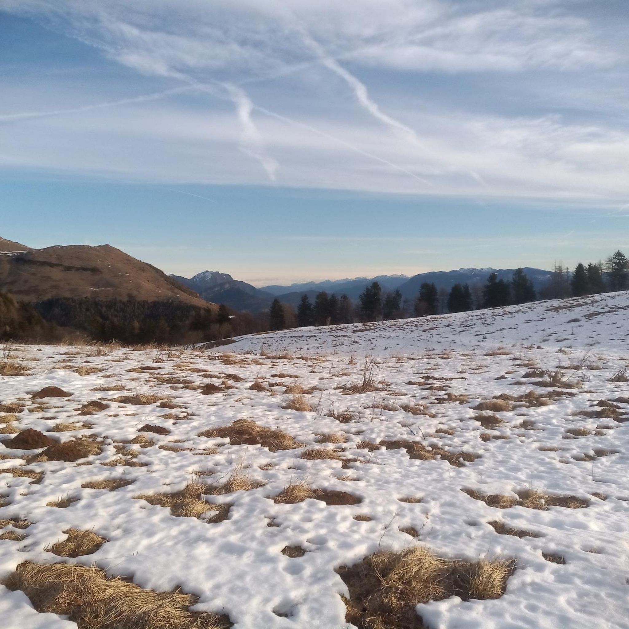
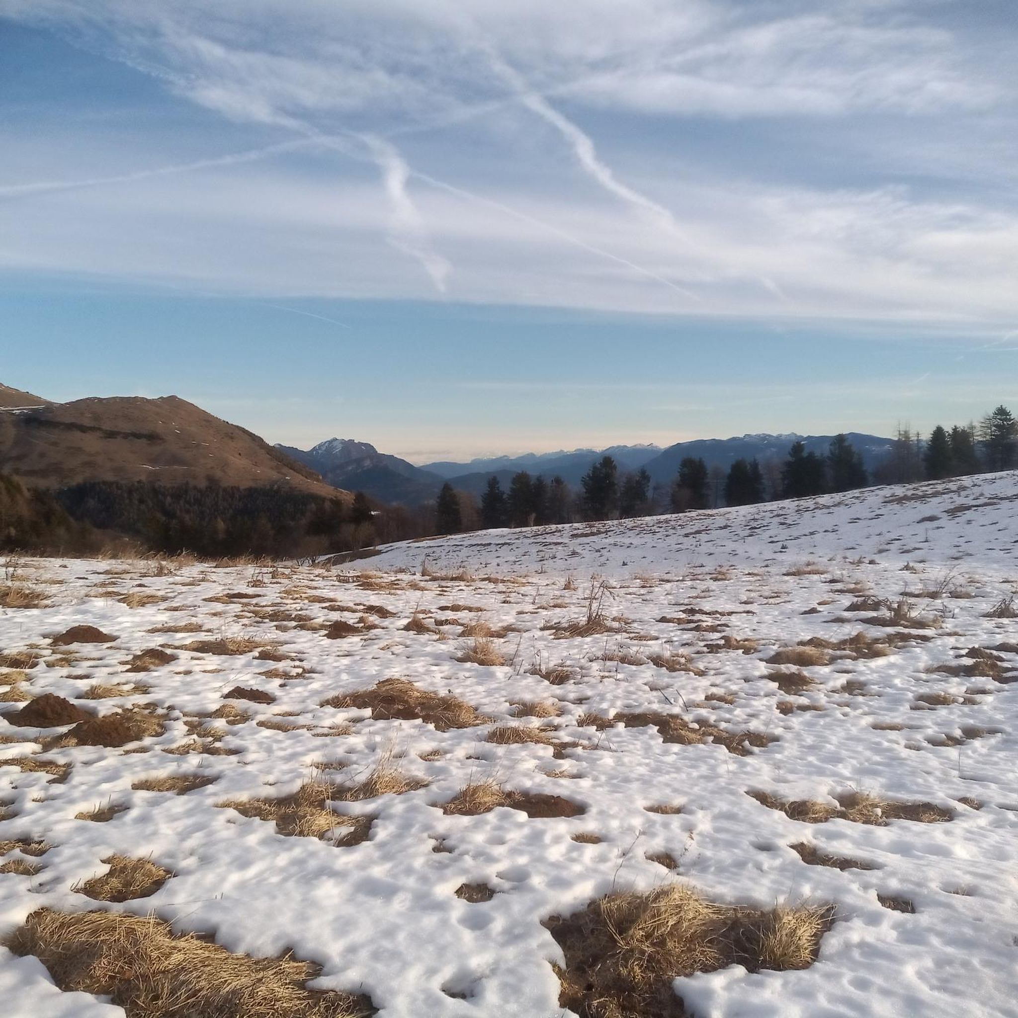
While some lower-altitude trails might be accessible, winter mountaineering in Brentonico, especially at higher elevations, requires specialized equipment and experience due to snow and ice conditions. It's crucial to check local weather forecasts and avalanche warnings before planning any winter excursions.
Are there options for parking near the trailheads in Brentonico?
Yes, many mountaineering routes in Brentonico have designated parking areas near their starting points. For example, the Strorina 1790 m loop starts from Parcheggio Varagna, indicating available parking. It's advisable to check specific route details for parking information.
What do other mountaineers say about the routes in Brentonico?
The mountaineering routes in Brentonico are highly regarded by the komoot community, holding an impressive average rating of 4.8 stars from over 980 reviews. Users frequently praise the diverse terrain, stunning panoramic views, and well-maintained paths that characterize the region.
Are the mountaineering routes in Brentonico suitable for dogs?
Many trails in Brentonico are dog-friendly, allowing you to enjoy the mountains with your canine companion. However, it's always recommended to keep dogs on a leash, especially in protected areas or near livestock, and to carry enough water for both yourself and your pet.
Can I reach mountaineering trailheads in Brentonico using public transport?
Public transport options to reach trailheads in Brentonico can vary. While some villages and starting points might be accessible by local bus services, direct access to more remote trailheads might be limited. It's best to research specific bus routes and schedules for your chosen starting point.
What kind of flora and fauna can I observe on the trails?
The Brentonico region, situated at the foothills of Monte Baldo, boasts rich biodiversity. You can expect to see diverse alpine flora, including orchids and gentians in spring and summer, and various tree species in the woodlands. Wildlife sightings might include chamois, marmots, and a variety of bird species, especially in quieter areas.
Most popular routes around Brentonico
Most popular attractions around Brentonico

Get inspired with the komoot mobile app


Explore more
Browse the best Mountain Hikes & Routes in other regions.
