The best walks and hikes around Üchtelhausen
4.4
(370)
1,877
hikers
173
hikes
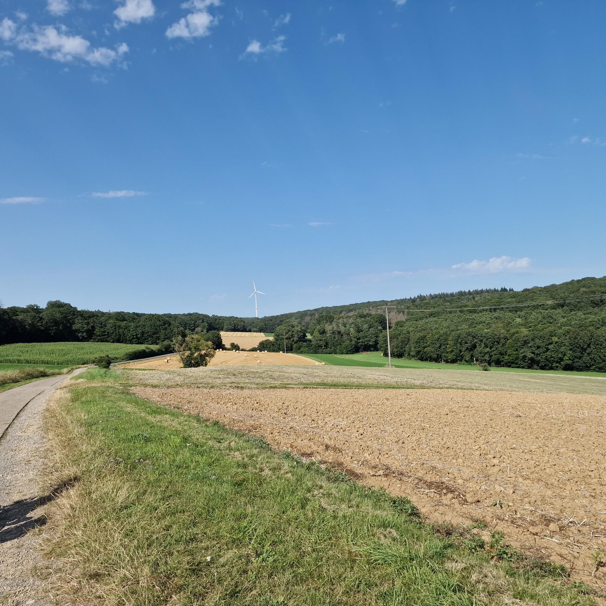
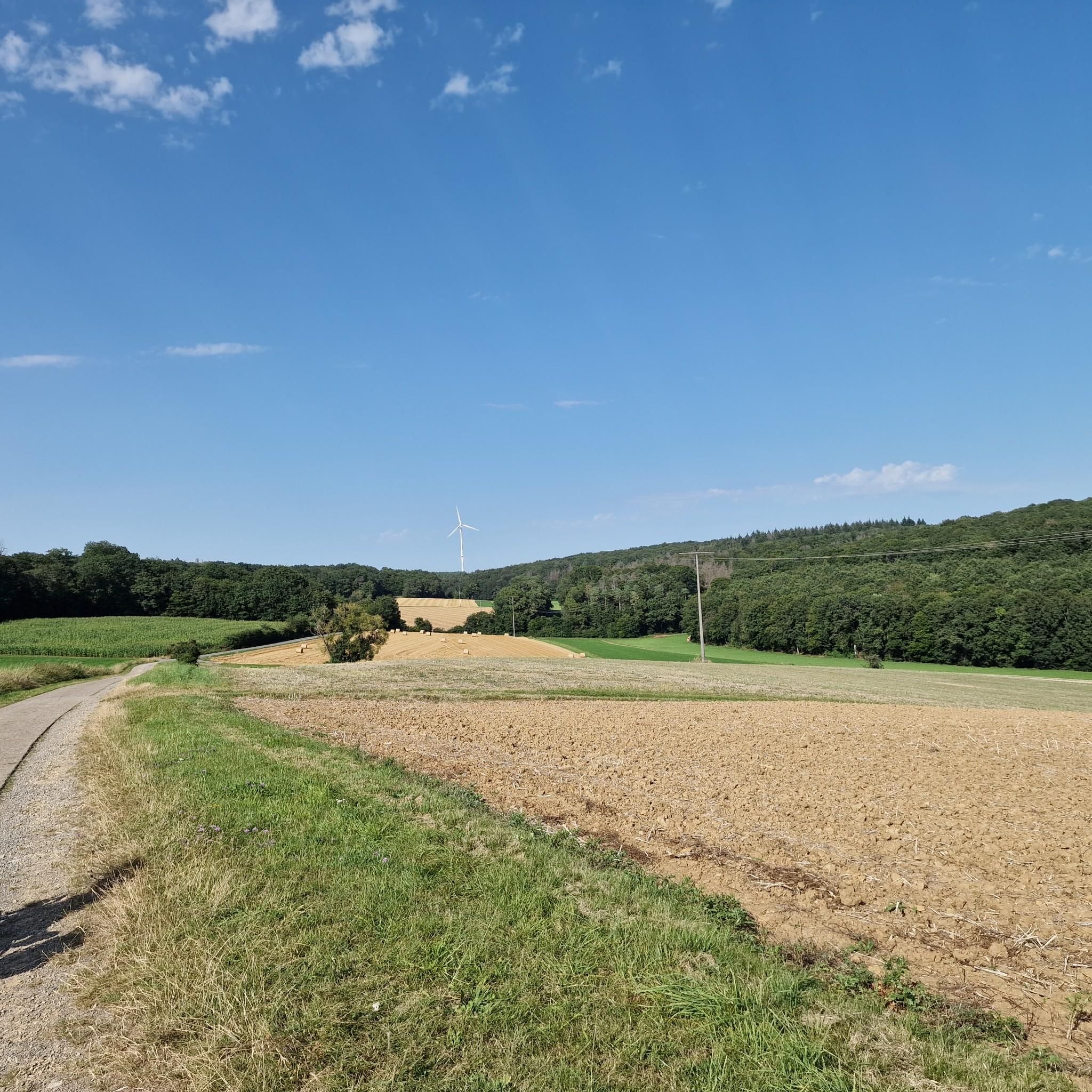
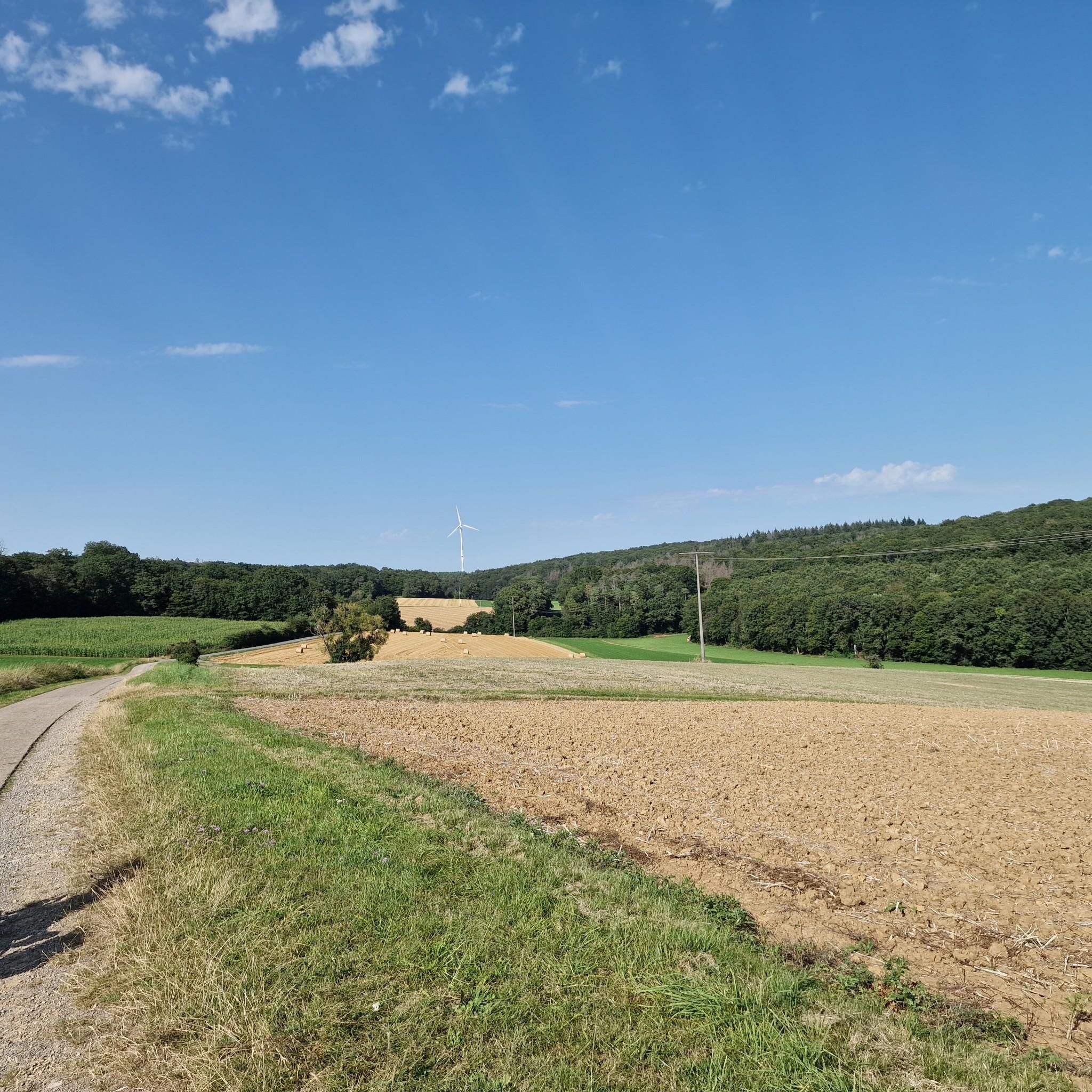
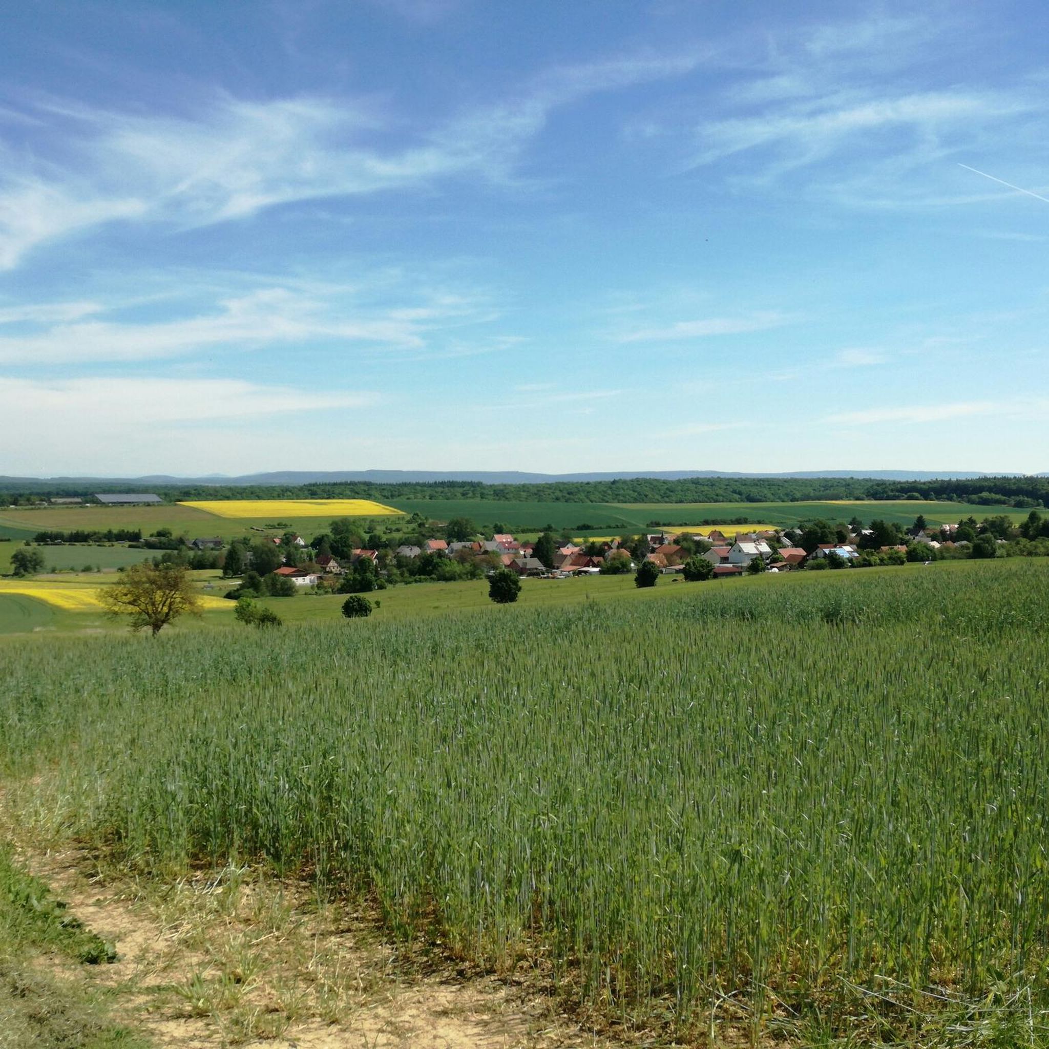
Hiking around Üchtelhausen offers diverse landscapes within the Schweinfurter Rhön, characterized by rolling hills, dense forests, lush meadows, and serene valleys. Elevations in the area range from 238 to 421 meters above sea level. The region includes the Schweinfurter Oberland Nature Reserve, providing varied terrain for outdoor activities.
Best hiking trails around Üchtelhausen
- The most popular hiking route is View of Schloss Mainberg – Wollenbach Ford loop from Hesselbach, an 11.1 miles (17.8 km) trail that takes 4 hours…
Last updated: July 1, 2026
4.7
(17)
47
hikers
Moderate hike. Good fitness required. Easily-accessible paths. Suitable for all skill levels.
4.9
(16)
51
hikers
18.1km
05:00
320m
320m
Hard hike. Very good fitness required. Easily-accessible paths. Suitable for all skill levels.

Sign up for free
4.0
(5)
15
hikers
Moderate hike. Good fitness required. Easily-accessible paths. Suitable for all skill levels.
4.0
(2)
15
hikers
Moderate hike. Good fitness required. Easily-accessible paths. Suitable for all skill levels.
4.3
(7)
23
hikers
12.4km
03:26
220m
220m
Moderate hike. Good fitness required. Easily-accessible paths. Suitable for all skill levels.
Get access to more routes and recommendations from other explorers.
Sign up for free
Already have an account?
Our route recommendations are based on thousands of hikes, rides, and runs completed by other people on komoot.
Start today with a free account
Your next adventure awaits.
Login or Signup
Tips from the Community

The Konik (from Polish: little horse, small horse) is a pony breed from Central and Eastern Europe. These ponies are very robust and are used in agriculture as well as in the conservation of numerous nature reserves, such as Geltinger Birk (Baltic Sea), Schmidtenhöhe (Koblenz), Brönnhof near Schweinfurt, the Lower Lusatian post-mining landscape of Schlabendorf North, and in the Polish Białowieża National Park, where they are kept in extensive farming practices. The largest population lives in Oostvaardersplassen in the Netherlands under almost wild conditions. The Konik's movements are energetic and tireless in all gaits. The Konik has a limited jumping ability and is characterized by its high resilience. Koniks are considered willing, calm, and undemanding. The breed is known for its longevity. Koniks are a very people-friendly breed and are not shy, even when raised in the wild.[2] Foals, in particular, often maintain contact with people. Konik horses behave dominantly towards other, even larger, breeds within a herd. (Wikipedia)
1
0
We were lucky and saw the beautiful Konik horses.
0
0
Remnants of underground bunker systems, typical of training grounds, are present – however, they are not a large, interconnected bunker complex open to the public. The area contains several military installations and bunker remnants, some surrounded by fences and earthworks.
0
0

The shelter has been renovated. Very nice view.
0
0

Beautiful to walk in beautiful nature 🏞️🌲🌳
0
0

A hike around the lake is a good option. Unfortunately, the area is not dog-friendly.
0
0

Beautiful little stone bridge over the Sauerquellenbach
0
0

Beautiful finds around the lake in every season
0
0
Frequently Asked Questions
How many hiking trails are available in Üchtelhausen?
Üchtelhausen offers a wide variety of hiking experiences with nearly 180 different routes. These range from easy strolls to more challenging tours, ensuring there's something for every hiker.
What kind of terrain can I expect on hikes around Üchtelhausen?
The region, part of the scenic Schweinfurter Rhön, features diverse landscapes including rolling hills, dense forests, lush meadows, and serene valleys. Elevations typically range from 238 to 421 meters above sea level, providing varied and picturesque backdrops for your hikes.
Are there easy hiking trails suitable for beginners or casual walkers?
Yes, Üchtelhausen is very accommodating for all skill levels. Approximately half of the available routes, around 90 trails, are classified as easy, making them perfect for beginners, families, or those looking for a relaxed walk.
Can I find circular hiking routes in Üchtelhausen?
Many of the hiking routes in Üchtelhausen are designed as loops, allowing you to start and end your journey in the same location. For example, the Höllental (Üchtelhäuser Grund) – Almrösl Beer Garden loop from Üchtelhausen is a moderate 8.7 km circular trail that takes you through scenic areas.
What natural features or landmarks can I see while hiking in Üchtelhausen?
Hikers can explore the untouched natural beauty of the Schweinfurter Oberland Nature Reserve. Notable features include the Ellertshäuser Lake, the largest lake in Lower Franconia, which offers beautiful views and recreational opportunities. You can also enjoy panoramic vistas into the Hassberge Nature Park from various trails.
Are there any family-friendly hiking options in Üchtelhausen?
Absolutely. The region offers several options suitable for families. The Forest Educational Trail (Waldlehrpfad Üchtelhausen) is an engaging 1.5-kilometer path with eight stations, perfect for educating children about nature. Additionally, the Am Röthlein Forest Park provides well-signposted paths, playgrounds, and picnic areas for a pleasant family outing.
What is the best time of year to go hiking in Üchtelhausen?
While hiking is enjoyable year-round, spring and autumn are particularly recommended. During these seasons, the landscape is vibrant with color, offering stunning scenery. The milder temperatures also make for more comfortable hiking conditions.
What do other hikers enjoy most about the trails in Üchtelhausen?
The trails in Üchtelhausen are highly rated by the komoot community, with an average score of 4.5 stars from over 370 reviews. Hikers often praise the diverse landscapes, well-maintained paths, and the peaceful atmosphere of the forests and valleys.
Are there any trails that offer particularly good viewpoints?
Yes, Üchtelhausen is known for its panoramic views. The Panoramaweg, a 15 km trail, offers splendid vistas into the Hassberge Nature Park. Additionally, the area north of Thomashof, marked by a boundary stone at 416 meters, provides beautiful panoramas of the surrounding region.
Are there any trails that pass by lakes or water features?
Yes, the Ellertshäuser Lake is a prominent water feature in the area, offering opportunities for walks along its shores and connecting to broader hiking networks. The Pond in Brönnhof Training Area – Greinberg loop from Üchtelhausen is another route that passes by a tranquil pond.
Can I find places to eat or drink near the hiking trails?
Yes, some routes incorporate stops where you can refresh yourself. For instance, the Höllental (Üchtelhäuser Grund) – Almrösl Beer Garden loop from Üchtelhausen includes the Almrösl Beer Garden, offering a convenient place to relax and refuel during your hike.
Are there specific trails that highlight the dense forests of the region?
Many trails in Üchtelhausen lead through dense forests, which are a defining characteristic of the Schweinfurter Rhön. The Wald & Weite Weg, connecting Hesselbach and Ebertshausen, is a 10.5 km path that provides an excellent opportunity to immerse yourself in the local woodlands.
Most popular routes around Üchtelhausen
Most popular attractions around Üchtelhausen

Get inspired with the komoot mobile app


Explore more
Browse the best Hikes in other regions.
