The best walks and hikes around Busca
4.4
(280)
1,742
hikers
60
hikes
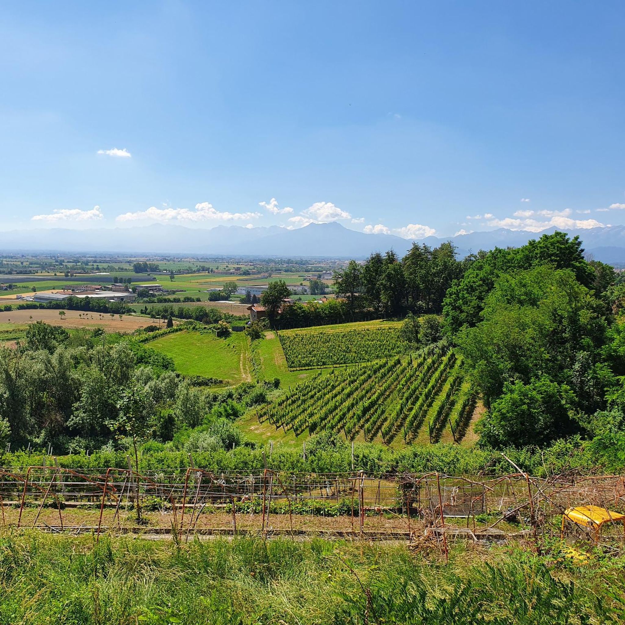
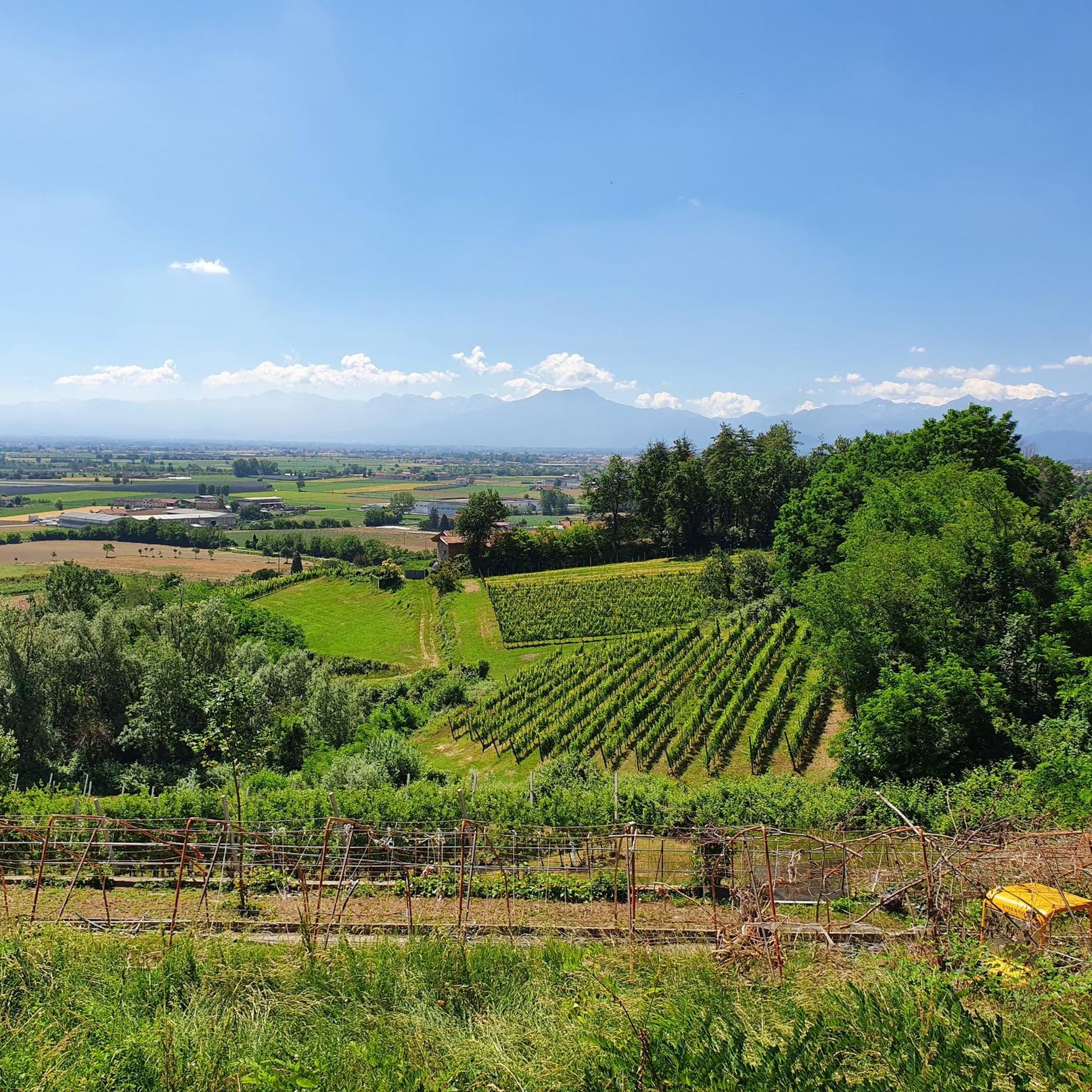
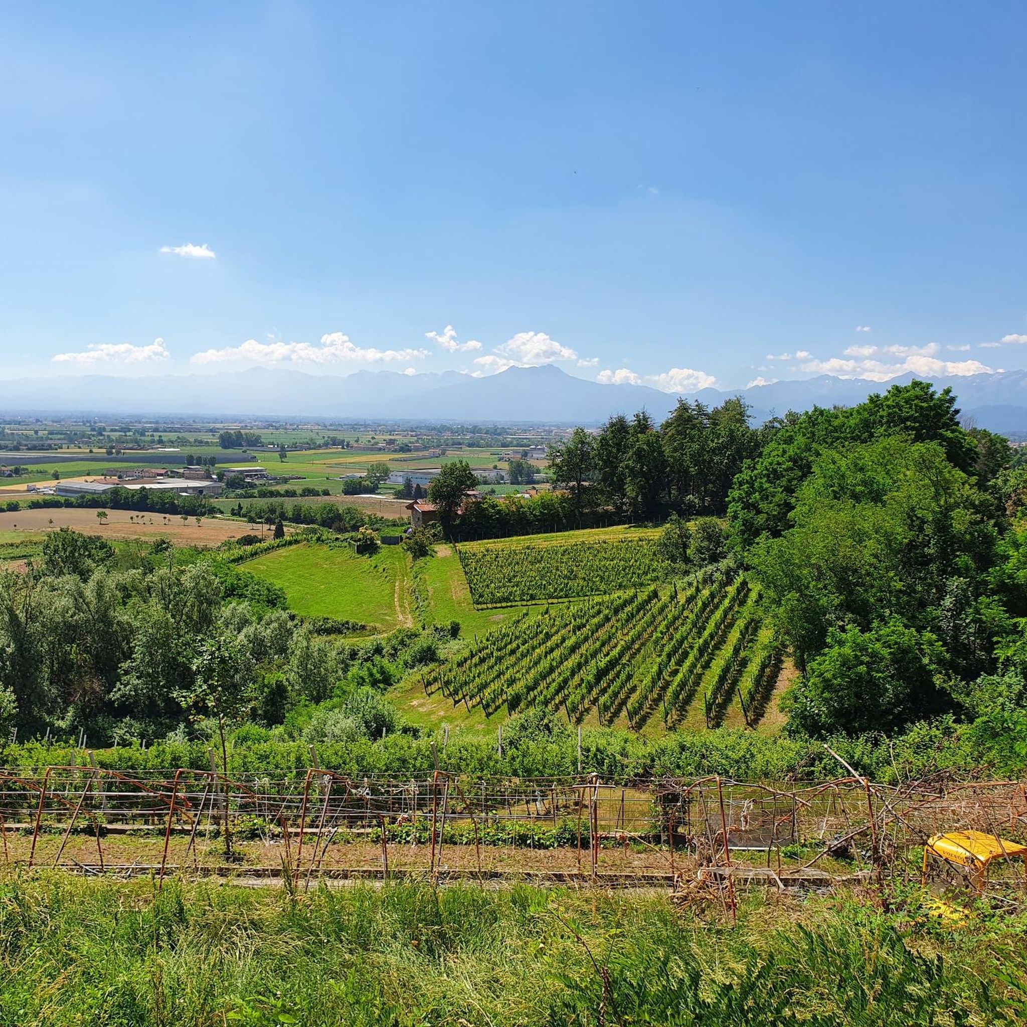
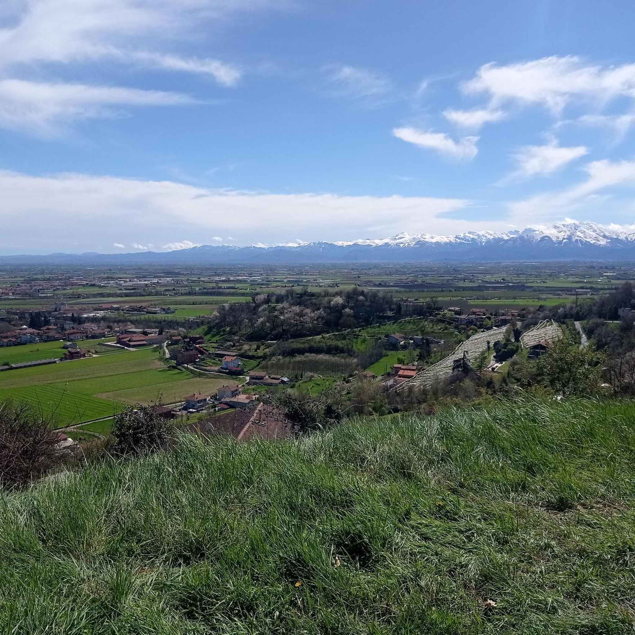
Hiking around Busca, nestled in Italy's Piedmont region, offers diverse landscapes for outdoor activities. The area features prominent peaks like Monte Pagliano, which rises almost 1,000 meters, providing panoramic views of the plain and distant Alps. Trails also traverse agricultural fields, vineyards, and follow the Maira River, connecting natural reserves with the historic center. This varied terrain includes both gentle paths and more challenging ascents, catering to different hiking preferences.
Best hiking trails around Busca
- The most popular hiking route…
Last updated: August 17, 2026
4
hikers
15.3km
04:53
670m
670m
Moderate hike. Good fitness required. Mostly accessible paths. Sure-footedness required.
9.64km
02:56
320m
320m
Moderate hike. Good fitness required. Easily-accessible paths. Suitable for all skill levels.

Sign up for free
7.02km
02:13
280m
280m
Moderate hike. Good fitness required. Easily-accessible paths. Suitable for all skill levels.
4.5
(22)
120
hikers
13.2km
04:01
450m
450m
Moderate hike. Good fitness required. Easily-accessible paths. Suitable for all skill levels.
4.6
(32)
124
hikers
10.9km
03:37
450m
450m
Moderate hike. Good fitness required. Mostly accessible paths. Sure-footedness required.
Get access to more routes and recommendations from other explorers.
Sign up for free
Already have an account?
Our route recommendations are based on thousands of hikes, rides, and runs completed by other people on komoot.
Start today with a free account
Your next adventure awaits.
Login or Signup

Tips from the Community

Beautiful church-sanctuary perched above Costigliole Saluzzo, and clearly visible from the plain - especially from the road to Piasco. You can get there via a rather steep asphalt road, which turns into a dirt road at the foot of the small church. Near the church, a picnic area equipped with tables, benches, and a BBQ station; in front of the church, a fountain with drinking water; just below the picnic area, restrooms (incredible that someone in Italy thought of it, but better so - and a heartfelt thank you). Wonderful view of the terminal part of the Val Varaita and Piasco. A nice trip.
0
0

excellent place to park the car and proceed to the cannons road. Nearby there is also the Dusman refuge
1
0

Beautiful panoramic plateau. In winter, a groomed ski slope is created. There's also a calisthenics park.
1
0

Church located in a quiet area and in a panoramic position, with the possibility of having picnics with barbecues outside
0
0

nice ebike trip, shame that when we got to the top we got a downpour with hail, meadows full of lilies and at the top blue meadows full of gentians
2
0
I visited in spring when there was a lot of snow, so unfortunately the carvings in the rock were buried by the snow.
0
0

Pian Pietro is a beautiful panoramic point between Val Maira and Val Varaita. You can stop here to catch your breath and breathe deeply the genuine mountain air. If you need to recharge your batteries, there is an equipped area where you can sit down.
3
0
Frequently Asked Questions
How many hiking trails are available around Busca?
Busca offers a wide variety of hiking opportunities, with over 50 trails recorded on komoot. These range from easy strolls through agricultural fields to more challenging ascents up Monte Pagliano.
Are there any easy hiking trails suitable for beginners or families in Busca?
Yes, Busca has 15 easy hiking trails. Many routes wind through cultivated fields, pastures, and vineyards on the lower slopes, providing peaceful and scenic walks. The Maira River Trail also offers sections suitable for easier exploration of rural landscapes.
What kind of terrain can I expect on hikes around Busca?
The terrain around Busca is diverse. You'll find paths through agricultural fields and vineyards, riverine environments along the Maira River, and wooded ascents leading to peaks like Monte Pagliano. Some trails are gentle, while others involve more strenuous climbs.
Are there any circular hiking routes in Busca?
Yes, many routes around Busca are circular, allowing you to start and end in the same location. Examples include the Pian Pietro - Borgata Grossa Loop, which takes you through rural landscapes, and the Monte Pagliano Loop, offering panoramic views.
What are some notable natural features or landmarks to see while hiking in Busca?
Hikers can discover several interesting natural features and landmarks. You might encounter the unique Pink Alabaster Caves of Busca, or the ancient Eremo di Belmonte, which serves as a starting point for some hikes. The Ciciu del Villar Rock Formations are also nearby, connected by the Maira River Trail.
Are there any viewpoints with panoramic scenery on the trails?
Absolutely. Hikes centered around Monte Pagliano, such as the Monte Pagliano – View of Busca loop from Busca, offer stunning panoramic views of the plain and the distant Alps, including the majestic View of Monviso from Monte Pagliano.
What do other hikers say about the trails in Busca?
The hiking routes in Busca are highly regarded by the komoot community, with an average score of 4.5 stars from over 220 reviews. Hikers often praise the varied terrain, from wooded areas to open landscapes, and the opportunities to discover untouched scenery.
Can I reach hiking trailheads in Busca using public transport?
While specific public transport connections to every trailhead can vary, the Maira River Trail connects Busca's historic center with the Ciciu del Villar Natural Reserve, suggesting some accessibility within the town. For more remote trailheads, personal transport might be necessary.
Are there any historical sites or chapels accessible via hiking routes?
Yes, you can explore historical sites while hiking. The ancient Eremo di Belmonte, with origins dating back to the 13th century, is a significant landmark and a starting point for several hikes. Additionally, the suggestive chapels of San Quintino and San Martino can be reached via pleasant loop trails, with San Martino featuring an ancient pre-Romanesque facade.
What is the best time of year to go hiking in Busca?
Busca offers hiking opportunities throughout much of the year. The diverse landscapes, from lower vineyards to higher peaks, mean you can find suitable trails in spring, summer, and autumn. Winter hiking conditions would depend on snow levels, especially on higher elevations like Monte Pagliano.
Are there any challenging hikes for experienced hikers in Busca?
Yes, Busca offers 5 difficult hiking trails for those seeking a greater challenge. These routes typically involve more significant elevation gains and longer distances, providing a strenuous workout and rewarding views.
Most popular attractions around Busca

Get inspired with the komoot mobile app


Explore more
Browse the best Hikes in other regions.
