The best road cycling routes around Serramonacesca
4.8
(92)
2,913
riders
83
rides
Road cycling routes around Serramonacesca are situated at the doorstep of the Majella National Park, offering a diverse landscape for cyclists. The region features challenging mountain passes and valleys, with varied terrains and elevations. Cyclists encounter rugged mountains, dense forests, and rolling hills, providing a range of experiences. The area is characterized by well-paved surfaces suitable for road cycling, connecting historic towns and natural attractions.
Best road cycling routes around Serramonacesca
- The most popular road cycling route is Tour of…
Last updated: May 26, 2026
34
riders
153km
08:24
3,220m
3,220m
Hard road ride. Very good fitness required. Some segments of this route may be unpaved and difficult to ride.
5.0
(2)
70
riders
34.8km
02:25
1,220m
1,220m
Hard road ride. Very good fitness required. Mostly well-paved surfaces and easy to ride.

Sign up for free
78
riders
99.5km
05:55
2,060m
2,070m
Hard road ride. Very good fitness required. Some segments of this route may be unpaved and difficult to ride.
5.0
(1)
34
riders
42.0km
02:43
1,230m
1,230m
Hard road ride. Very good fitness required. Mostly well-paved surfaces and easy to ride.
5.0
(1)
20
riders
111km
06:09
2,340m
2,340m
Hard road ride. Very good fitness required. Mostly well-paved surfaces and easy to ride.
Get access to more routes and recommendations from other explorers.
Sign up for free
Already have an account?
Our route recommendations are based on thousands of hikes, rides, and runs completed by other people on komoot.
Start today with a free account
Your next adventure awaits.
Login or Signup
Tips from the Community

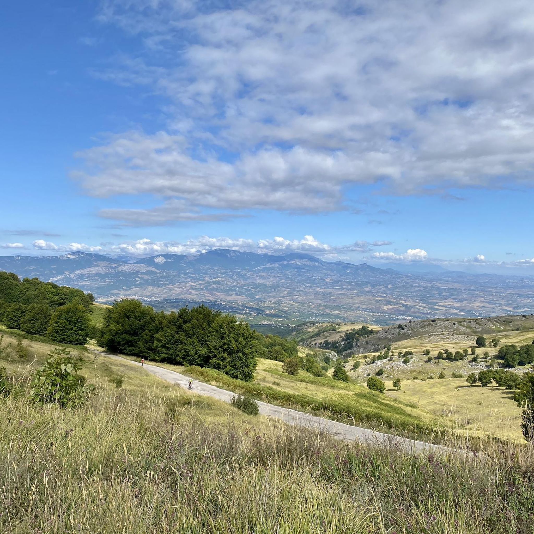
The inhabitants of Abruzzo and the neighboring region of Lazio have their own local observation related to this Passo Lanciano. When the sun sets in the spring behind the mighty Majella massif, it quickly gets dark on the Abruzzo side (i.e., where Passo Lanciano is located) and dusk falls, while on the other side of the mountains, in Lazio, it is still bright daylight. Locals joke that at the same moment, one half of Italy goes to sleep, and the other goes for an aperitivo.
0
0

after 13 kilometers of climbing, it's a very appreciable refreshment stop
0
0


Murals depicting the environment and customs of the village of the Maiella National Park
0
0

I ride with my leg always in shot
1
1

The murals of Sant'Eufemia a Maiella, the work of the Trentino artist Liberio Furlini since 2013, portray daily scenes from the past, narrating the history of the town. While walking, you can also find WI-FI near the fountain.
0
0

nice climb up to Filetto. Then the return to Francavilla is a pleasant descent with some small eats and drinks
0
0
Frequently Asked Questions
How many road cycling routes are available around Serramonacesca?
There are over 80 road cycling routes around Serramonacesca, offering a diverse range of experiences. These include 4 easy routes, 36 moderate routes, and 46 difficult routes, catering to various fitness levels and preferences.
What is the best time of year for road cycling in Serramonacesca?
The region around Serramonacesca, bordering the Majella National Park, is generally best for road cycling from spring through autumn. During these seasons, the weather is typically mild, offering ideal conditions to tackle challenging climbs and enjoy the scenic vistas without extreme heat or cold.
Are there routes suitable for beginners or families in Serramonacesca?
While many routes in Serramonacesca feature challenging climbs, there are a few easier options available. The area offers 4 routes classified as easy, which could be suitable for beginners or families looking for a less strenuous ride. These routes often traverse rolling hills rather than the demanding mountain passes.
What kind of terrain can I expect on road cycling routes in this region?
Road cycling routes around Serramonacesca offer a diverse landscape, from rugged mountains and challenging climbs to picturesque valleys and dense forests. You'll encounter well-paved surfaces, varied terrains, and elevations, providing a mix of experiences from demanding ascents to scenic descents through historic towns and natural attractions.
Are there challenging climbs for experienced road cyclists?
Absolutely. Serramonacesca is at the doorstep of the Majella National Park, offering numerous challenging climbs. Experienced cyclists can tackle demanding ascents like the Cima Blockhaus, reaching altitudes of 2,000 meters, or the 'Giro di Serra' with gradients between 9% and 12%. Routes like the Pretoro – Blockhaus Climb loop from Pretoro are popular for their significant elevation gains.
What scenic viewpoints or natural attractions can I discover while cycling?
The region offers breathtaking natural beauty. From the fortress walls near Serramonacesca, you can enjoy spectacular views across the Pescara valley all the way to the sea. Cyclists can also explore picturesque valleys like Val Giumentina or the lush Alento River Gorge. The Orfento Valley, connected by the Ponte del Vallone, also provides stunning landscapes.
Are there historical landmarks to visit along the road cycling routes?
Yes, the area is rich in history. You can visit the beautiful medieval Abbey of San Liberatore a Majella, an important historical and architectural site. Other notable landmarks include the Hermitage of Sant'Onofrio, perched in the rock face, and the evocative Hermitage of Santo Spirito a Maiella. The Chapel of Our Lady of the Snow is another historical religious building you might encounter.
What do other road cyclists say about the routes in Serramonacesca?
The road cycling routes around Serramonacesca are highly rated by the komoot community, with an average score of 4.8 stars from over 100 reviews. Cyclists often praise the diverse terrain, the challenging climbs, and the stunning natural beauty of the Majella National Park, making it a rewarding destination for road biking.
Which route offers a comprehensive tour of the Majella National Park?
For a comprehensive experience of the Majella National Park, consider the Tour of Majella. This extensive 94.9-mile (152.7 km) route traverses varied terrains and elevations within the park, offering a full day of cycling adventure.
Is there a popular loop route that includes a significant climb?
Local road cyclists often enjoy the Pretoro – Training Plain loop from Pretoro. This 61.8-mile (99.5 km) trail leads through demanding ascents and scenic vistas, typically completed in about 5 hours and 54 minutes, offering a challenging yet rewarding experience.
Are there any shorter, difficult routes for a focused climbing challenge?
Yes, for a focused climbing challenge, the Majelletta Summit – Blockhaus Climb loop from Cima Mammarosa is an excellent option. This difficult 26.6 km route features over 1100 meters of elevation gain, making it a concentrated test of endurance and climbing skill.
Which route offers a climb to Passo Lanciano?
You can experience the climb to Passo Lanciano on the Climb to Passo Lanciano – Passo Lanciano loop from Manoppello. This difficult 42 km route features over 1200 meters of elevation gain, providing a significant challenge and rewarding views from the pass.
Most popular attractions around Serramonacesca

Get inspired with the komoot mobile app


Explore more
Browse the best Road cycling routes in other regions.
