The best walks and hikes around Maleo
4.3
(55)
299
hikers
22
hikes
Hiking around Maleo offers a network of trails primarily characterized by flat to gently undulating terrain along riverbanks and through agricultural landscapes. The region features paths that follow the Adda River, providing views of the surrounding countryside and local landmarks. Elevation changes are minimal, making most routes accessible for various fitness levels. The area is suitable for leisurely walks and longer excursions through open fields and near waterways.
Best hiking trails around Maleo
- The most popular hiking route is From…
Last updated: September 30, 2026
4.3
(9)
21
hikers
Moderate hike. Good fitness required. Easily-accessible paths. Suitable for all skill levels.
4.0
(1)
3
hikers
15.3km
03:53
40m
40m
Moderate hike. Good fitness required. Easily-accessible paths. Suitable for all skill levels.

5.0
(1)
26
hikers
17.7km
04:27
20m
20m
Moderate hike. Good fitness required. Easily-accessible paths. Suitable for all skill levels.
4.0
(1)
8
hikers
Moderate hike. Good fitness required. Easily-accessible paths. Suitable for all skill levels.
5.0
(1)
8
hikers
10.9km
02:46
30m
30m
Moderate hike. Good fitness required. Easily-accessible paths. Suitable for all skill levels.
Get access to more routes and recommendations from other explorers.
Already have an account?
Our route recommendations are based on thousands of hikes, rides, and runs completed by other people on komoot.
Start today with a free account
Your next adventure awaits.

Tips from the Community

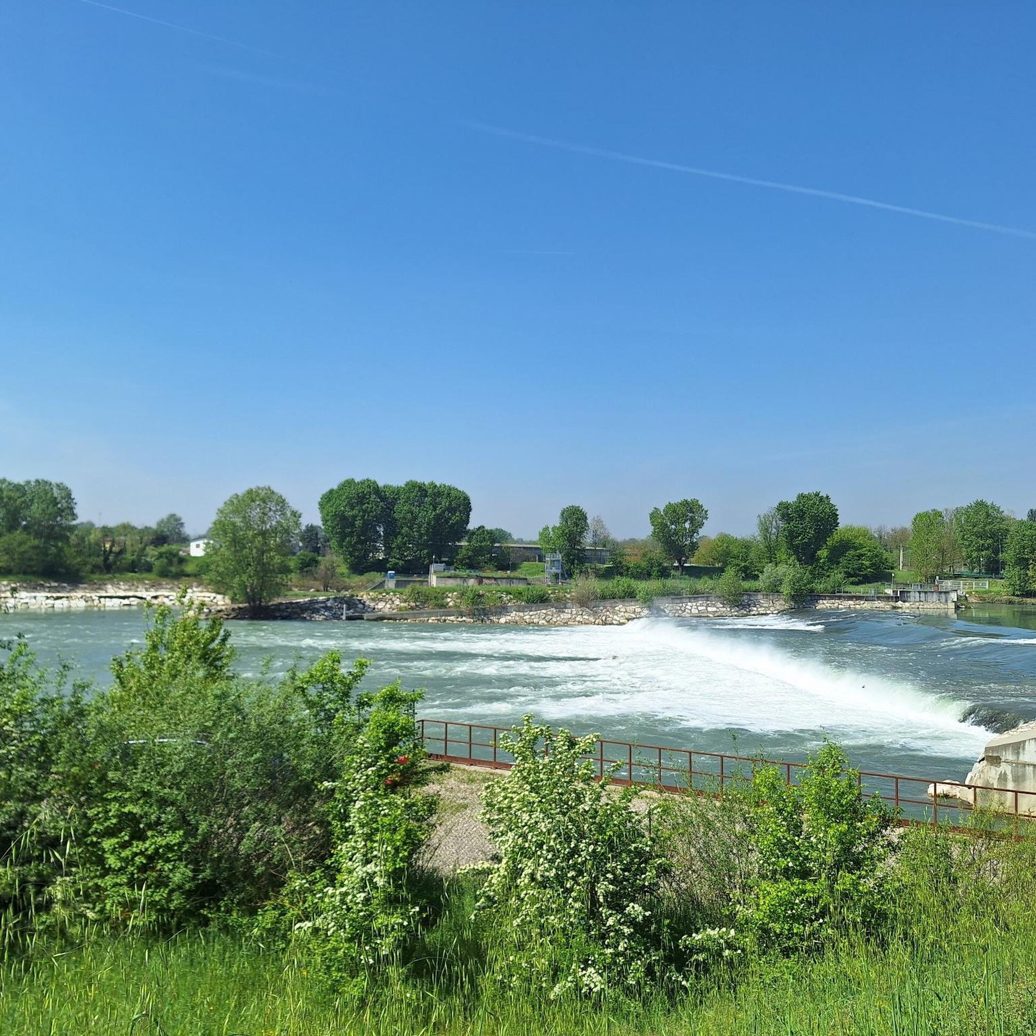
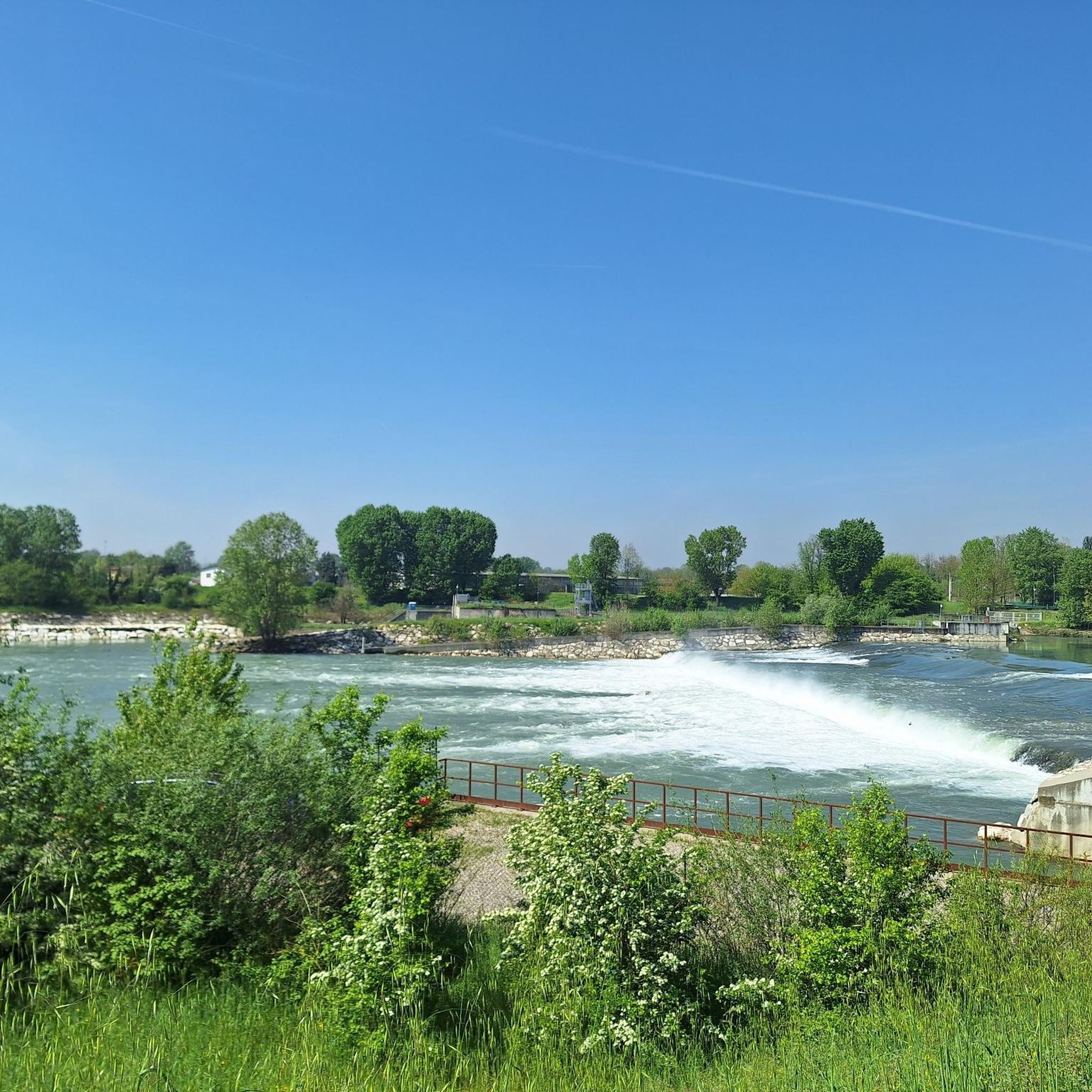
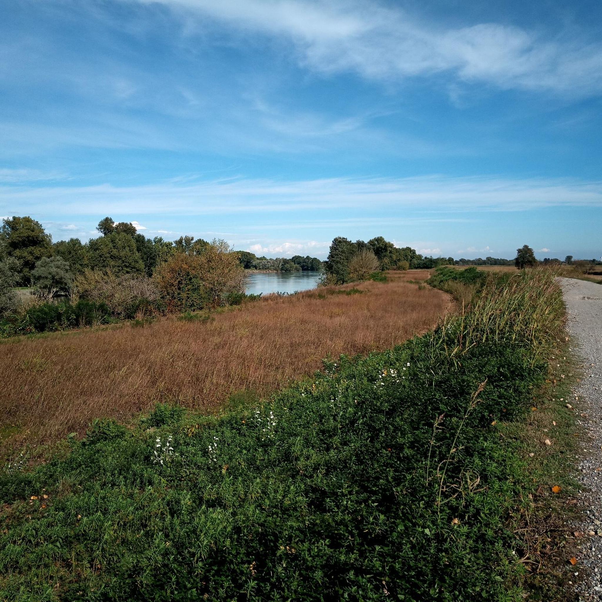
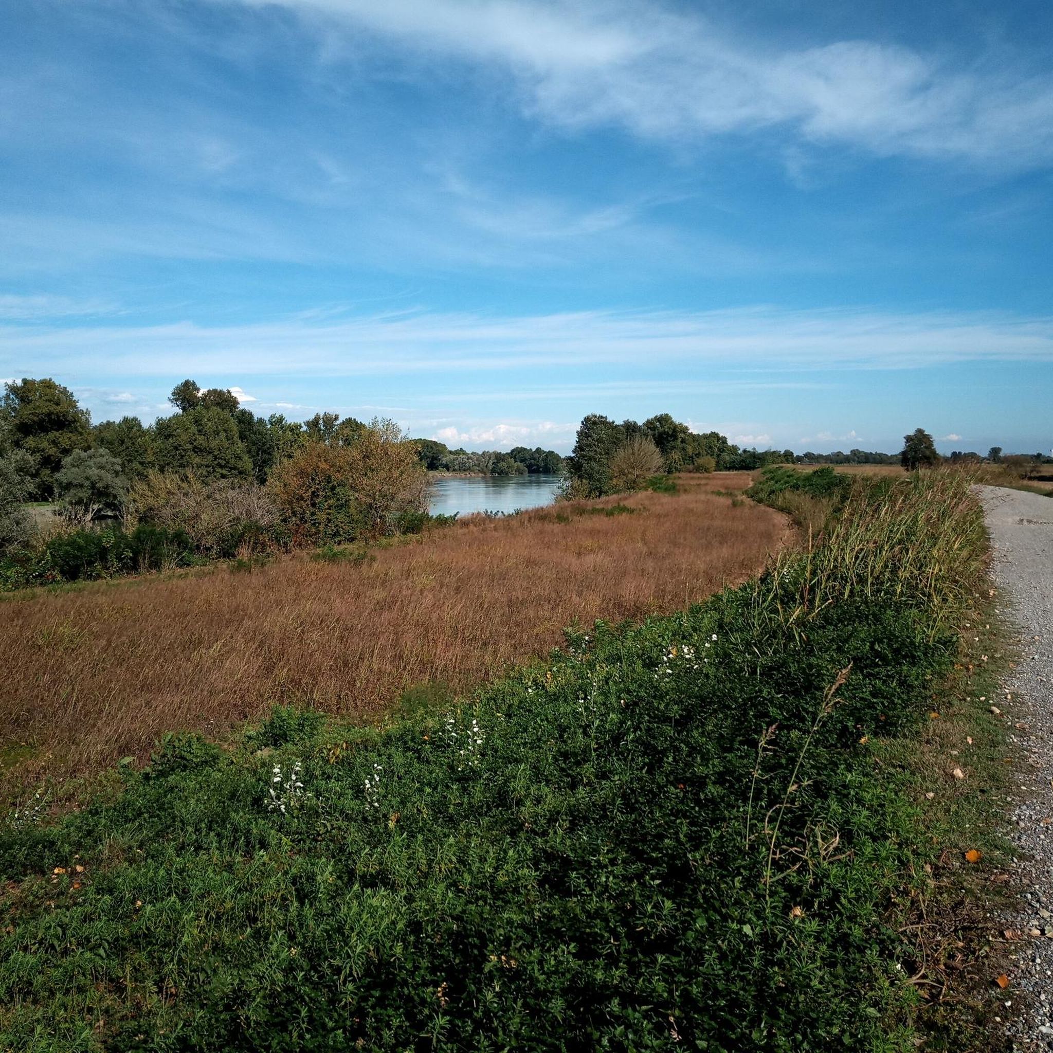
The Adda riverbank in the lower Lodi area protects the floodplain and the river's confluence with the Po, winding its way between the Adda Sud Park, Pizzighettone, and Castelnuovo Bocca d’Adda. This area combines hydraulic defence works with natural and cycling paths of great landscape value.
0
0
it develops along the route of the historic former state road 234 "Codognese" and the SP 193, integrating pre-existing sections and new segments to safely connect the two municipalities of Basso Lodigiano and link to the cycle tourism routes in the area.
0
0
The Milan-Cremona-Po canal is an ambitious and never-completed waterway designed to connect Milan to the river Po and the sea. Of the great project started in 1941, only an initial stretch of about 13 kilometers reaching Pizzighettone has been completed, while the work remained unfinished. You can cycle safely along the banks.
0
0

The Borromeo Castle of Castelgerundo (historically known as Camairago Castle) is a majestic 15th-century military structure located in the hamlet of Camairago, within the municipality of Castelgerundo in the province of Lodi. The building, entirely constructed in exposed brick (terracotta), stands in a highly strategic position on a terrace overlooking the picturesque Adda valley.
0
0
A dense network of country paths connect Camairago and Cavacurta with the Adda embankment and Pizzighettone
0
0
Crossing point on the Castiglione - Maleo cycle path, many branches onto country paths to go to Camairago or reach the Adda
0
0

The Pizzighettone railway bridge is an important metal arch infrastructure located on the Pavia-Mantova line (in the Codogno-Cremona section) which crosses the Adda river, connecting the Pizzighettone station with the Ponte d'Adda stop.
0
0

Church of San Pietro (Shrine of Our Lady of the Sacred Heart) in the nearby village of Gera, an 18th-century Marian sanctuary entirely covered in marble and mosaics to celebrate the figure of the Virgin, present both inside and outside at the initiative of the priest Pietro Mizzi (parish priest of Pizzighettone until 1999) who dedicated his entire life to its embellishment.
1
0
Frequently Asked Questions
How many hiking trails are available around Maleo?
There are over a dozen hiking trails around Maleo, offering a variety of options for exploring the region's riverbanks and agricultural landscapes. Most routes feature flat to gently undulating terrain.
Are there easy hiking trails suitable for beginners in Maleo?
Yes, Maleo offers 3 easy hiking trails perfect for beginners or those looking for a relaxed stroll. The terrain is generally flat with minimal elevation changes, making them accessible for various fitness levels.
What is the typical terrain like for hiking around Maleo?
Hiking around Maleo is characterized by flat to gently undulating terrain. Trails primarily follow riverbanks, such as the Adda River, and wind through agricultural landscapes. You can expect open fields and paths near waterways, with very few significant inclines.
What is the average length and duration of hikes in Maleo?
Hikes in Maleo vary in length, with many moderate routes ranging from 9 to 11 miles (14 to 18 km). These typically take between 3.5 to 4.5 hours to complete, depending on your pace. For example, the From Pizzighettone to the Castello Borromeo di Camairago – loop tour is 8.7 miles (13.9 km) and takes about 3 hours 33 minutes.
Are there any circular hiking routes in Maleo?
Yes, many of the popular routes in Maleo are circular. Examples include the From Pizzighettone to the Castello Borromeo di Camairago – loop tour and the From Pizzighettone along the Adda – loop tour, both offering convenient loop options for hikers.
What kind of attractions can I see along the hiking trails in Maleo?
Along the hiking trails in Maleo, you can explore historical sites and natural monuments. Notable attractions include the historic Borromeo Castle of Camairago, the ancient Pizzighettone Walls, and the Torre del Guado. Nature lovers can visit the Confluence of the Adda and Po rivers or the Lanca Adda Morta natural monument.
Are there any nature reserves or wildlife spotting opportunities near Maleo's trails?
Yes, the region features natural areas like the Adda Morta - Lanca della Rotta Oriented Nature Reserve and the Monticchie Nature Reserve. These areas offer opportunities to observe local flora and fauna, particularly around the river ecosystems.
What do other hikers enjoy most about hiking in Maleo?
The komoot community highly rates hiking in Maleo, with an average score of 4.3 stars from over 49 reviews. Hikers often praise the peaceful river paths, the scenic views of the agricultural landscapes, and the accessibility of the trails for various skill levels.
Are there any specific routes recommended for winter hiking in Maleo?
While most trails are suitable year-round, the Castelgerundo – Winter View Near Maleo loop from Maleo is specifically highlighted for its winter views. Always check local conditions before heading out during colder months.
Can I find family-friendly hiking options in Maleo?
Given the generally flat and gentle terrain, many of Maleo's trails are suitable for families. The easy routes, in particular, provide a pleasant experience for all ages, allowing for leisurely walks along the riverbanks and through the countryside.
What are some of the most popular routes in the Maleo area?
Beyond the routes mentioned in the introduction, the Adda Rapids, Pizzighettone – Along the Adda at Pizzighettone loop from Pizzighettone is a popular moderate 9.5 km trail. Another favorite is the Adda River Embankment – Torre del Guado loop from Maleo, which is 10.9 km long.
Most popular attractions around Maleo

Get inspired with the komoot mobile app


Explore more
Browse the best Hikes in other regions.
