The best walks and hikes around Castello Tesino
4.3
(734)
4,022
hikers
76
hikes
Hiking around Castello Tesino offers access to diverse natural landscapes within Trentino, Italy. The region is characterized by the Lagorai Mountain Range and the Cima d'Asta Massif, featuring peaks that reach significant elevations. Extensive woodlands and alpine meadows cover much of the area, giving way to numerous minor valleys, streams, and waterfalls. This varied topography provides a wide array of hiking trails suitable for different experience levels.
Best hiking trails around Castello Tesino
- The most popular hiking route is Trodo…
Last updated: October 10, 2026
4.6
(57)
245
hikers
6.08km
02:48
420m
420m
Moderate hike. Good fitness required. Mostly accessible paths. Sure-footedness required.
4.7
(17)
102
hikers
10.4km
03:19
400m
410m
Hard hike. Good fitness required. Sure-footedness, sturdy shoes and alpine experience required.

4.1
(11)
67
hikers
13.7km
06:52
1,310m
1,310m
Hard hike. Very good fitness required. Sure-footedness, sturdy shoes and alpine experience required.
4.8
(5)
40
hikers
17.7km
08:09
1,330m
1,330m
Hard hike. Very good fitness required. Mostly accessible paths. Sure-footedness required.
4.5
(6)
20
hikers
5.05km
02:11
280m
280m
Moderate hike. Good fitness required. Mostly accessible paths. Sure-footedness required.
Get access to more routes and recommendations from other explorers.
Already have an account?
Our route recommendations are based on thousands of hikes, rides, and runs completed by other people on komoot.
Start today with a free account
Your next adventure awaits.
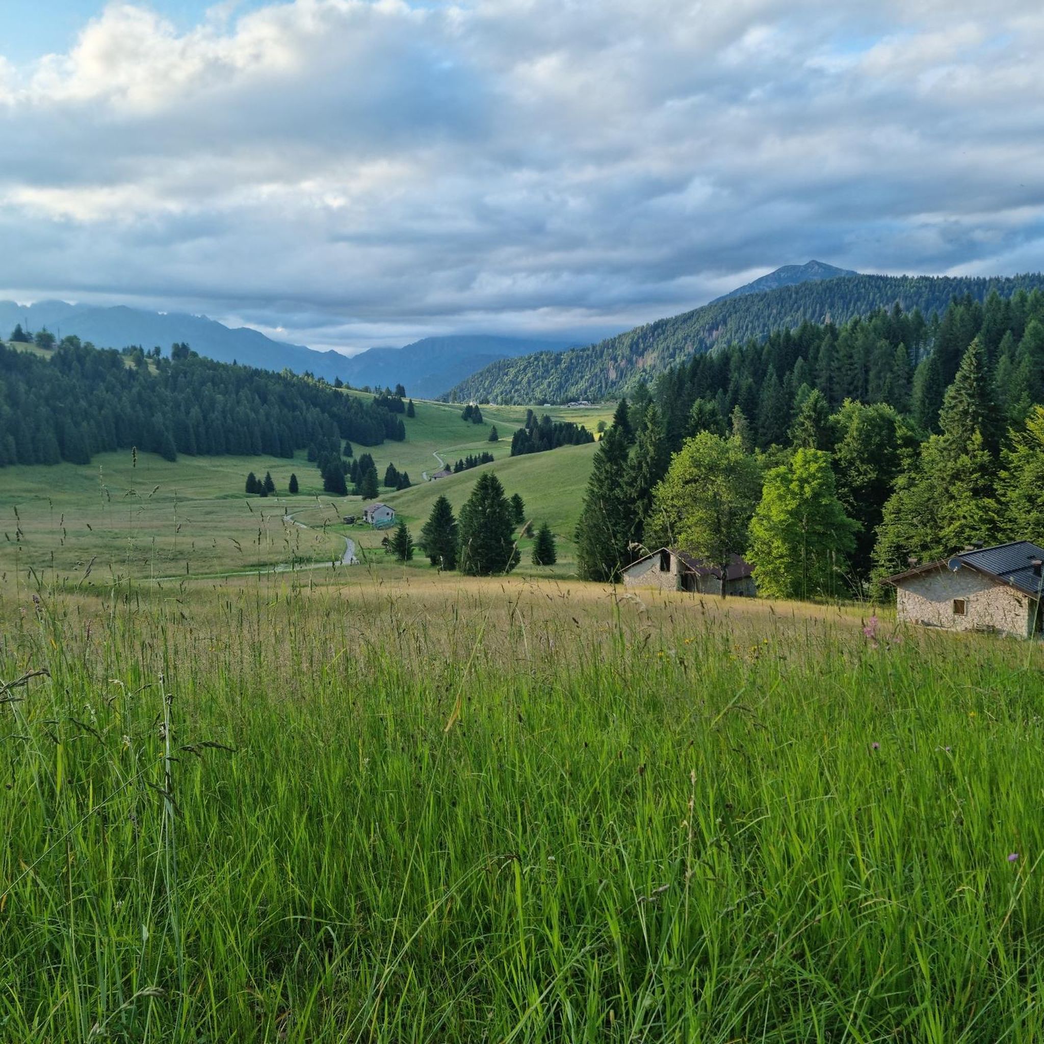
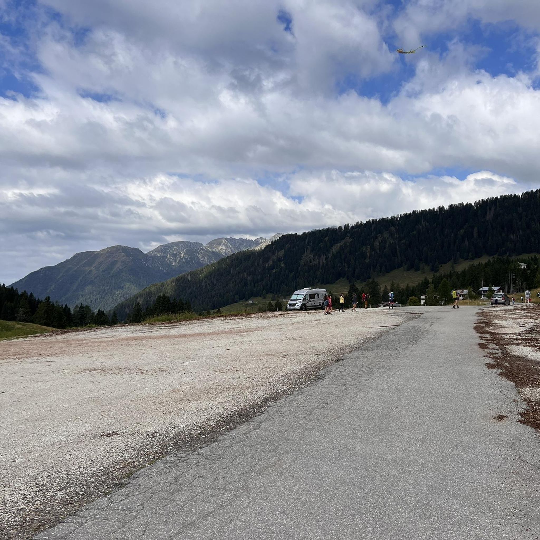
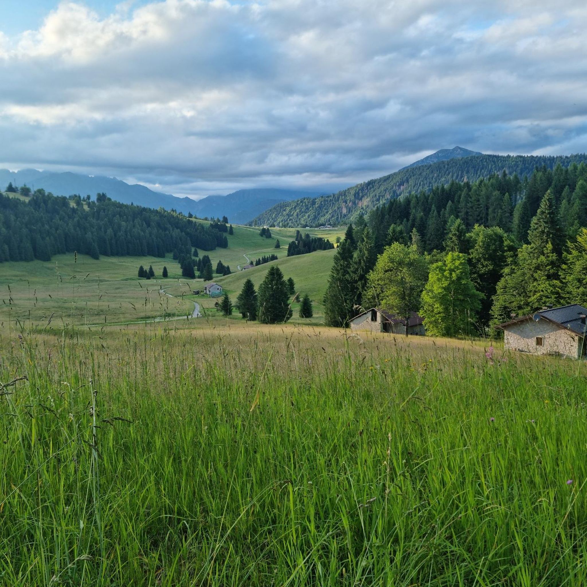

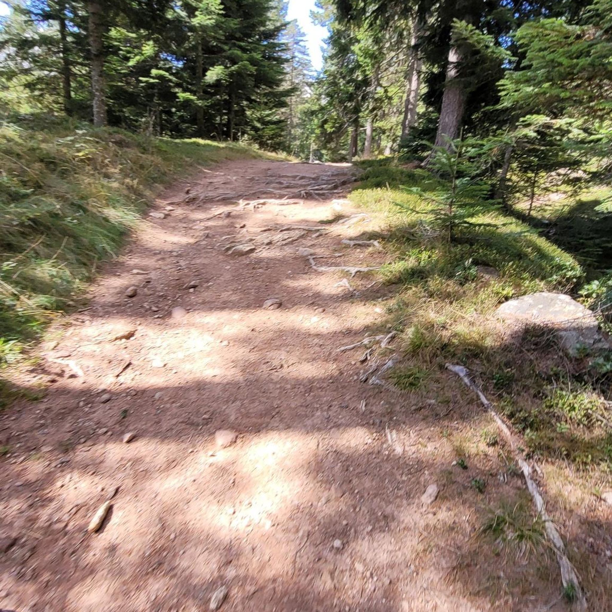
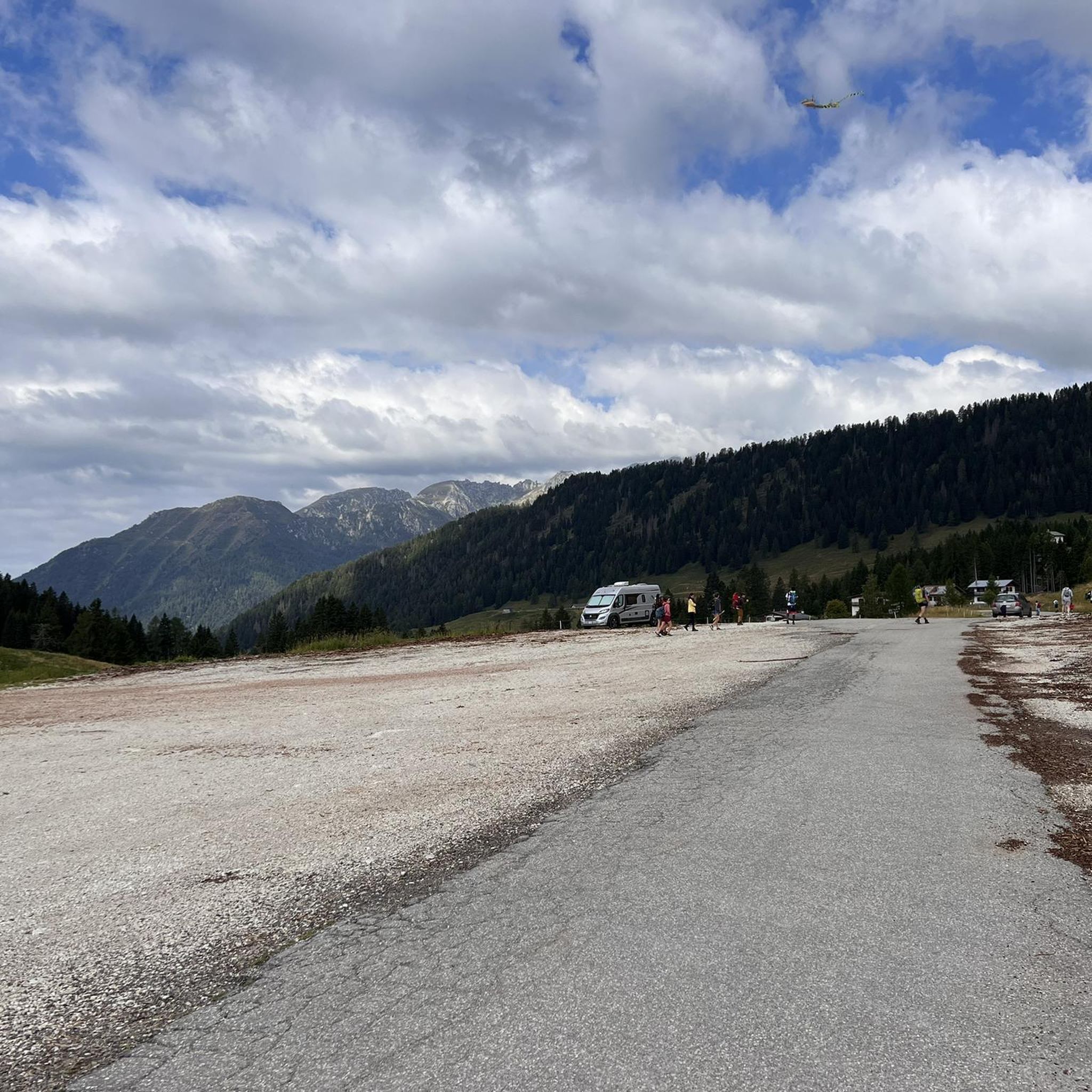
Tips from the Community

To be precise, Mount Coppolo, like its entire ridge, is entirely in Vicenza territory. The border passes 1 km further north.
0
0

Pass between the two slopes of the area.
1
0

A beautiful bivouac located in a very windy spot, with a spring reported nearby (which I didn't see)
0
0
path that requires a minimum of attention
0
0

It doesn't cost much to go up the Cavallara fork, it's certainly worth it.
0
0

Tour in Lagorai starting from Rifugio Refavaie, Pian delle Belle Fior, Forcella Paradisi, Malga Fossernica outside, Strada delle Feltrine, Malga Fossernica inside and returning to Refavaie. Height difference +1060 m
0
0

The Paolo e Nicola bivouac is located at 2,180 meters above sea level on the Valmaggiore pass. In its surroundings there are still remains of the First World War. The bivouac was built in 1974 in memory of Paolo and Nicola di Predazzo, who died on the Sella Group on 30 June of that year, and rebuilt in 2011 by the volunteers of the CTG "Lusia". Here it is possible to sleep (there are 9 beds) and cook, there is a water source a couple of hundred meters from the structure.
2
0

Beautiful bivouac, space for tents outside, water point about a hundred metres away. Beautiful panorama!
1
0
Frequently Asked Questions
How many hiking trails are available around Castello Tesino?
Castello Tesino offers a wide variety of hiking opportunities, with over 70 routes documented on komoot. These trails cater to all skill levels, from easy strolls to challenging mountaineering routes in the Lagorai mountain range.
What is the best time of year to go hiking in Castello Tesino?
The region is beautiful year-round, but the best time for hiking is typically from late spring to early autumn (May to October). During these months, the alpine meadows are lush, and the weather is generally favorable for exploring the extensive woodlands and mountain paths. Winter offers opportunities for snowshoeing and other snow sports.
Are there any family-friendly hiking trails in Castello Tesino?
Yes, Castello Tesino has several trails suitable for families. For example, the 'Walk - Ronche - Castello Tesino' mentioned in the region research is ideal for families with children, winding through the upper village and into the forest. The area features 10 easy routes, perfect for a leisurely family outing.
Can I bring my dog on the hiking trails in Castello Tesino?
Generally, dogs are welcome on trails in the Castello Tesino region, but it's always advisable to keep them on a leash, especially in protected areas, near livestock, or during wildlife breeding seasons. Always carry water for your dog and clean up after them. Specific rules might apply in certain natural parks or reserves, so check local signage.
What kind of natural attractions can I see along the hiking trails?
The trails around Castello Tesino are rich in natural beauty. You can encounter diverse landscapes from extensive woodlands and alpine meadows to the majestic Lagorai Mountain Range and Cima d'Asta Massif. Hikers can also discover numerous minor valleys, streams, glacial tarns, and foamy waterfalls. A unique highlight is the Grotte di Castello Tesino, a spectacular karstic cave system with underground lakes, which offers guided tours.
Are there any circular hiking routes in the area?
Yes, the region offers several circular routes. An example of a challenging circular tour is the Ascent to Passo Sadole and Monte Cauriol — Ring tour, which takes you through high-altitude mountain terrain. Many other trails also offer loop options, allowing you to start and end at the same point.
What are the difficulty levels of hiking trails in Castello Tesino?
Castello Tesino offers a wide range of difficulties. You'll find 10 easy routes perfect for beginners or casual strolls, 31 moderate trails for those seeking a bit more challenge, and 30 difficult routes for experienced hikers looking for demanding ascents and mountaineering experiences in the Lagorai mountains.
What do other hikers enjoy most about hiking in Castello Tesino?
The komoot community highly rates the hiking experience in Castello Tesino, with an average score of 4.4 stars from over 500 reviews. Hikers often praise the diverse natural landscapes, from the majestic Lagorai mountains and extensive woodlands to the serene alpine meadows, and the variety of trails suitable for all levels.
Are there any specific botanical trails or areas of interest for plant lovers?
Yes, the 'Trodo dei Fiori' (Path of Flowers) at Passo Brocon is a significant highlight for nature and plant enthusiasts. This naturalistic botanical path showcases over 300 different species of flowers, making it a unique and colorful experience. You can explore a section of it on the Trodo dei Fiori botanical trail to Forcella Cavallara.
Where can I find parking for hiking trails in Castello Tesino?
Parking is generally available at trailheads and in the vicinity of popular starting points for hikes. For specific routes, it's recommended to check the individual tour details on komoot for parking suggestions. In Castello Tesino itself, there are public parking areas, and smaller villages or mountain passes often have designated spots for hikers.
Are there any notable viewpoints or panoramic spots on the trails?
Absolutely. The region is known for its breathtaking panoramic views, especially from higher elevations. Trails like the Monte Coppolo Summit Trail (via SAT 393) lead to summits offering expansive mountain scenery. The Cima d'Asta Massif and the Lagorai mountain range provide numerous opportunities for stunning vistas over the valleys and peaks.
What other attractions are near the hiking areas in Castello Tesino?
Beyond hiking, the area offers several points of interest. You can visit the historic center of Castello Tesino, explore the Rifugio Cima d'Asta Ottone Brentari, or discover natural landmarks like Lake Corlo and Lake Calaita. The Passo Manghen is also a well-known mountain pass in the vicinity.
Most popular routes around Castello Tesino
Most popular attractions around Castello Tesino

Get inspired with the komoot mobile app


Explore more
Browse the best Hikes in other regions.
