The best road cycling routes around Türnitz
4.6
(87)
3,208
riders
78
rides
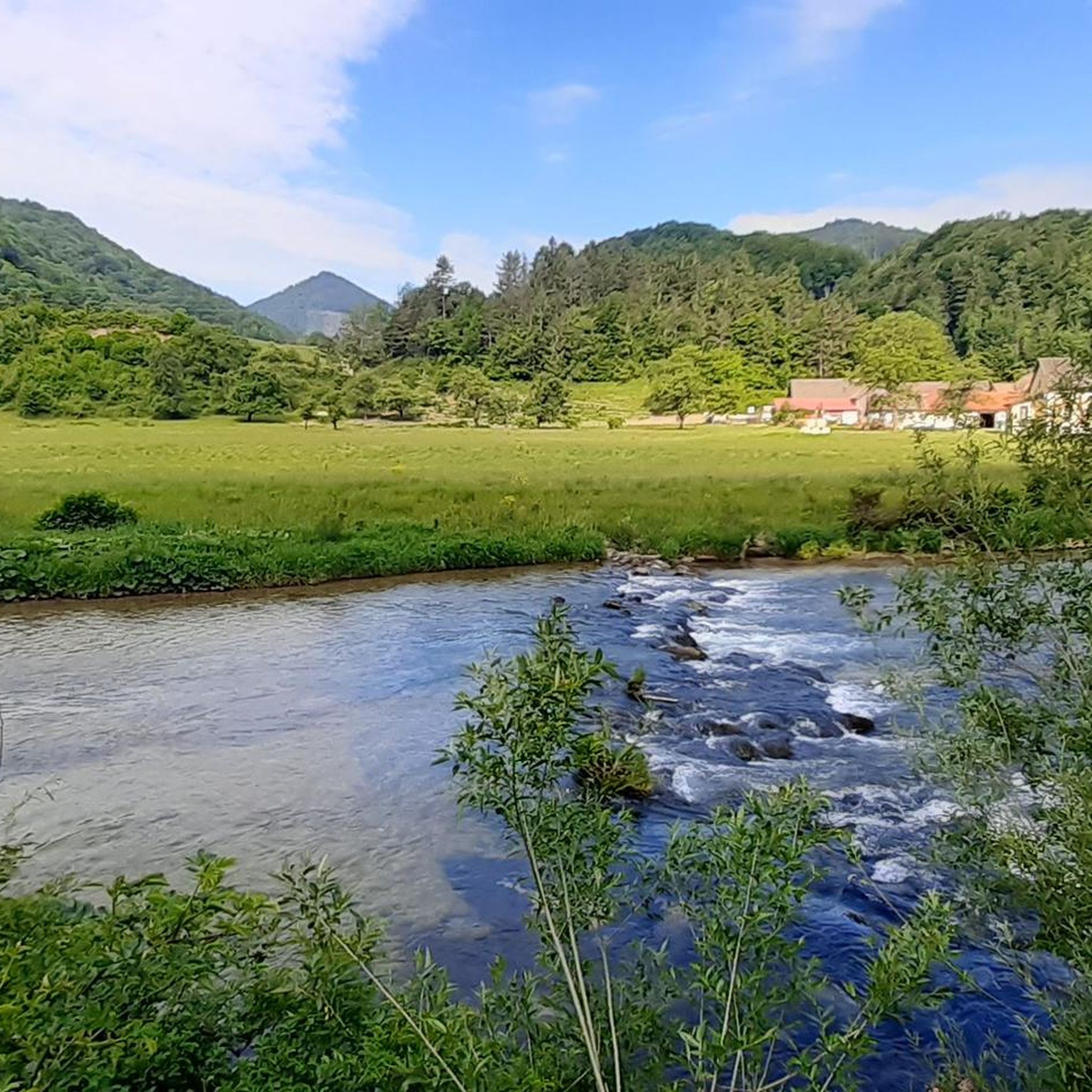
Road cycling routes around Türnitz are situated in the Mostviertel region of Lower Austria, characterized by diverse hilly terrain and proximity to the Eastern Alps foothills. The area features winding river valleys such as the Traisen, Ybbs, and Erlauf, offering varied elevations. Cyclists can expect panoramic vistas across forests and meadows, with landscapes transitioning from pre-Alps to higher peaks.
Best road cycling routes around Türnitz
- The most popular road cycling route is Ascent to Durlass – Kleindurlas Pass loop from…
Last updated: May 20, 2026
4.8
(15)
285
riders
61.2km
02:46
540m
540m
Moderate road ride. Good fitness required. Some segments of this route may be unpaved and difficult to ride.
5.0
(2)
60
riders
Moderate road ride. Good fitness required. Mostly well-paved surfaces and easy to ride.

Sign up for free
34
riders
122km
06:11
2,000m
2,000m
Hard road ride. Very good fitness required. Mostly well-paved surfaces and easy to ride.
5.0
(1)
38
riders
50.4km
02:15
340m
340m
Moderate road ride. Good fitness required. Mostly well-paved surfaces and easy to ride.
27
riders
Moderate road ride. Good fitness required. Mostly well-paved surfaces and easy to ride.
Get access to more routes and recommendations from other explorers.
Sign up for free
Already have an account?
Our route recommendations are based on thousands of hikes, rides, and runs completed by other people on komoot.
Start today with a free account
Your next adventure awaits.
Login or Signup

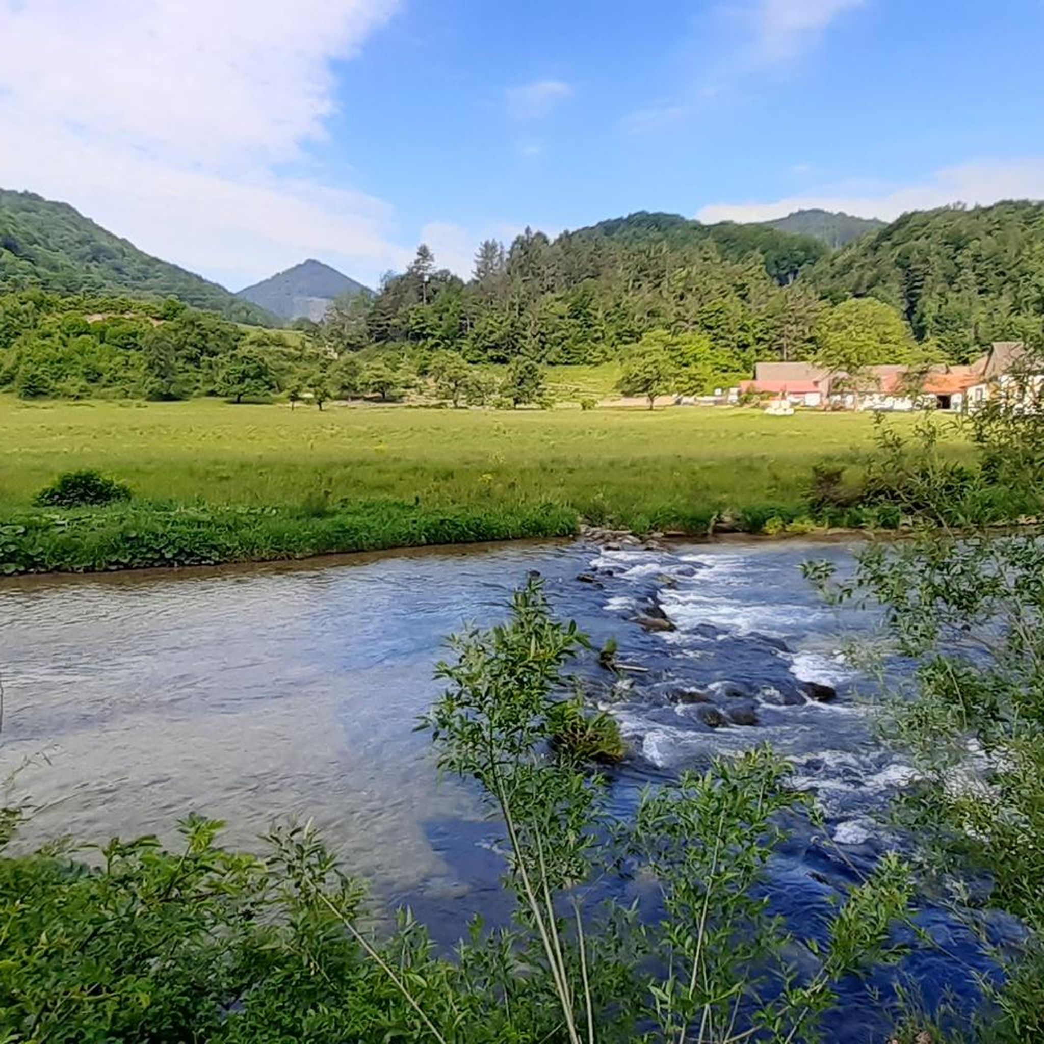
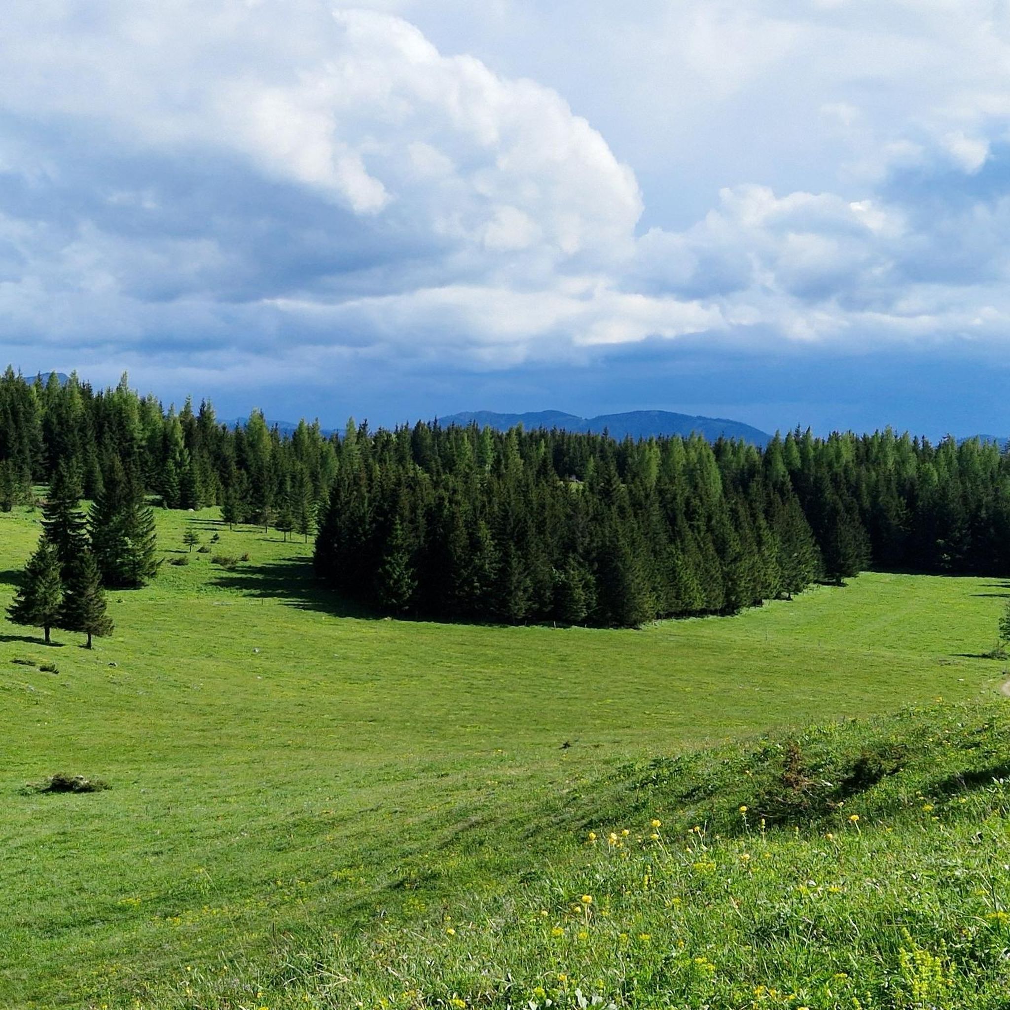
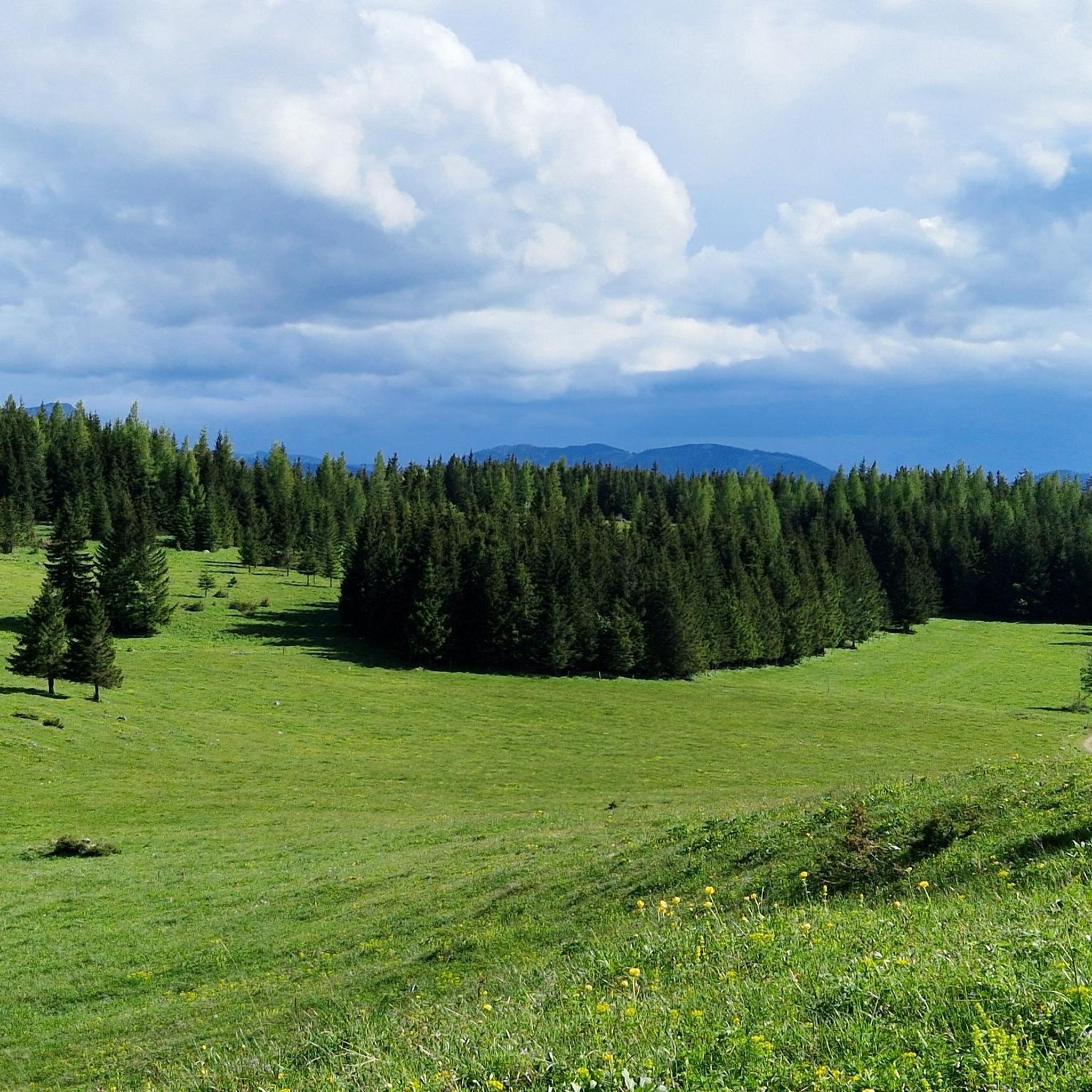
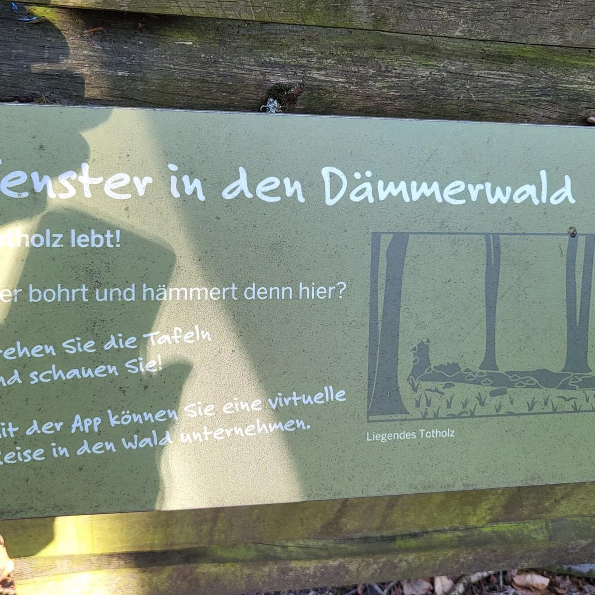

Other adventures around Türnitz

Tips from the Community

Ascent with an average gradient of 7% over 5.5 km
0
0
Pass height with parking possibility, stopping is worthwhile
0
0


good parking for ski touring on the Göller, but it's fully parked from 8 am on weekends
0
0

The exact attribution of the Hohenbergs is not always possible, as there are several defensive structures with this name in Austria, but Oulrich de Hohenperge mentioned before 1177 probably belongs here, while Otto, Gottfried and Herand von Hohenberg mentioned in a document of Stift St. Lamprecht in 1100 probably resided in Styria. One is sure about the brothers Heinrich and Dietrich,
1
0

Large parking lot, ingenious view of Hohe Weichsl and Ringkamp in the west. Starting point for hikes to the Veitsch and Tonion or Wetterin
0
0
Frequently Asked Questions
How many road cycling routes are available around Türnitz?
There are nearly 80 road cycling routes around Türnitz, catering to various skill levels. You'll find options ranging from easy, leisurely rides to challenging routes with significant elevation gain.
What kind of terrain can I expect on road cycling routes in Türnitz?
Road cycling in Türnitz offers a diverse landscape, transitioning from the hilly terrain of the Mostviertel region to the foothills of the Eastern Alps. You can expect a mix of demanding climbs, scenic descents, and routes that follow winding river valleys like the Traisen, Ybbs, and Erlauf. The area provides varied elevations and panoramic vistas across forests and meadows.
Are there challenging road cycling routes for experienced cyclists in Türnitz?
Yes, Türnitz and the surrounding Mostviertel region offer demanding climbs for experienced road cyclists. Notable challenges include the Ochsattel Pass with its steep hairpin bends, and the Annaberg, known for its significant average gradient over several kilometers. For a long and difficult ride, consider the Erlaufsee – Lahnsattel loop from St. Aegyd am Neuwalde, which covers over 120 km with nearly 2000 meters of elevation gain.
Are there any easy or beginner-friendly road cycling routes in Türnitz?
Yes, Türnitz offers several easier road cycling routes suitable for beginners or those looking for a more relaxed ride. For example, the Lilienfeld Abbey – Parish Church of St. Veit loop from Lilienfeld is an easy 37.3 km route with moderate elevation, perfect for a less strenuous outing.
What are some scenic highlights or natural attractions I can see along the routes?
The routes around Türnitz are rich with natural beauty. You can encounter stunning natural features like the Lassing case waterfall or the impressive Falkensteiner Gorge. Many routes also offer panoramic views from mountain passes such as the Josefsberg Pass Summit or the Habertheuersattel.
Are there any cultural or historical sights to explore while road cycling in Türnitz?
Absolutely. The region is dotted with cultural and historical attractions. You can cycle past significant sites like Seitenstetten Abbey, Wallsee-Sindelburg with its historic center, and Ardagger Abbey. The Lilienfeld Abbey – Small Schleierfall loop from Lilienfeld, for instance, takes you through the scenic surroundings of Lilienfeld, home to the historic Lilienfeld Abbey.
What do other road cyclists say about the routes in Türnitz?
The road cycling routes in Türnitz are highly rated by the komoot community, with an average score of 4.6 stars from over 75 reviews. More than 3000 cyclists have used komoot to explore the varied terrain, often praising the diverse landscapes and well-maintained paths.
When is the best season for road cycling in Türnitz?
The Mostviertel region, including Türnitz, is particularly scenic in mid-April when thousands of pear trees bloom, offering a beautiful backdrop for cycling. Generally, spring through autumn provides the most favorable weather conditions for road cycling, allowing you to enjoy the diverse landscapes and comfortable temperatures.
Are there circular road cycling routes available around Türnitz?
Yes, many road cycling routes around Türnitz are designed as loops, allowing you to start and end at the same point. Examples include the popular Ascent to Durlass – Kleindurlas Pass loop from Lilienfeld Krankenhaus and the Zum Niederhaus Inn – Lilienfeld Local History Museum loop from St. Aegyd am Neuwalde, both offering balanced rides through varied terrain.
Can I find routes that pass through river valleys in the Türnitz area?
Yes, many road cycling routes in the Türnitz area frequently follow winding river valleys, including the Traisen, Ybbs, and Erlauf. These paths often provide serene and well-paved sections, offering a different cycling experience compared to the hilly climbs.
What is the typical elevation gain on road cycling routes near Türnitz?
The elevation gain on road cycling routes near Türnitz varies significantly depending on the route's difficulty. Easy routes might have around 200 meters of ascent, while moderate routes typically feature 400-550 meters. Challenging routes, especially those tackling mountain passes, can involve nearly 2000 meters of elevation gain, providing a significant workout.
Most popular routes around Türnitz
Most popular attractions around Türnitz

Get inspired with the komoot mobile app


Explore more
Browse the best Road cycling routes in other regions.
