The best road cycling routes around Lainate
4.2
(689)
19,767
riders
597
rides
Road cycling routes around Lainate offer a diverse landscape, ranging from flat canal paths to challenging climbs with lake views. The region features routes along the Villoresi Canal, providing level terrain suitable for various skill levels. Further afield, routes extend towards Lake Como, incorporating significant elevation gains and scenic vistas. The terrain includes a mix of agricultural areas, urban fringes, and ascents into the pre-alpine foothills.
Best road cycling routes around Lainate
- The most popular road cycling route is Villoresi…
Last updated: September 27, 2026
4.1
(12)
208
riders
57.7km
02:21
90m
90m
Moderate road ride. Good fitness required. Some segments of this route may be unpaved and difficult to ride.
5.0
(2)
125
riders
72.5km
03:37
800m
800m
Moderate road ride. Good fitness required. Some segments of this route may be unpaved and difficult to ride.

110
riders
142km
07:38
2,670m
2,670m
Hard road ride. Very good fitness required. Some segments of this route may be unpaved and difficult to ride.
3.1
(10)
75
riders
Easy road ride. Great for any fitness level. Mostly well-paved surfaces and easy to ride.
4.8
(4)
45
riders
80.1km
04:02
1,090m
1,090m
Hard road ride. Very good fitness required. Some segments of this route may be unpaved and difficult to ride.
Get access to more routes and recommendations from other explorers.
Already have an account?
Our route recommendations are based on thousands of hikes, rides, and runs completed by other people on komoot.
Start today with a free account
Your next adventure awaits.
Tips from the Community

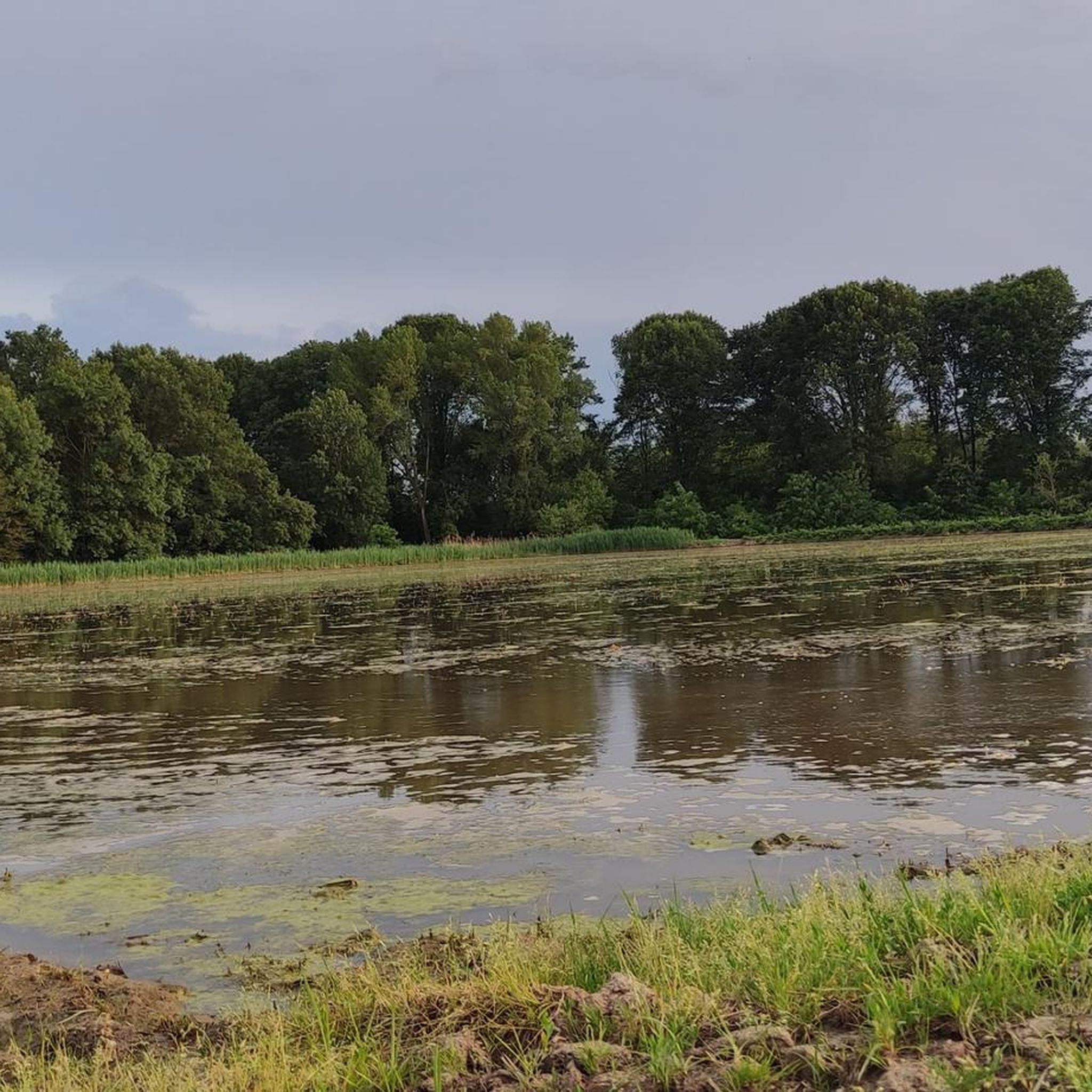
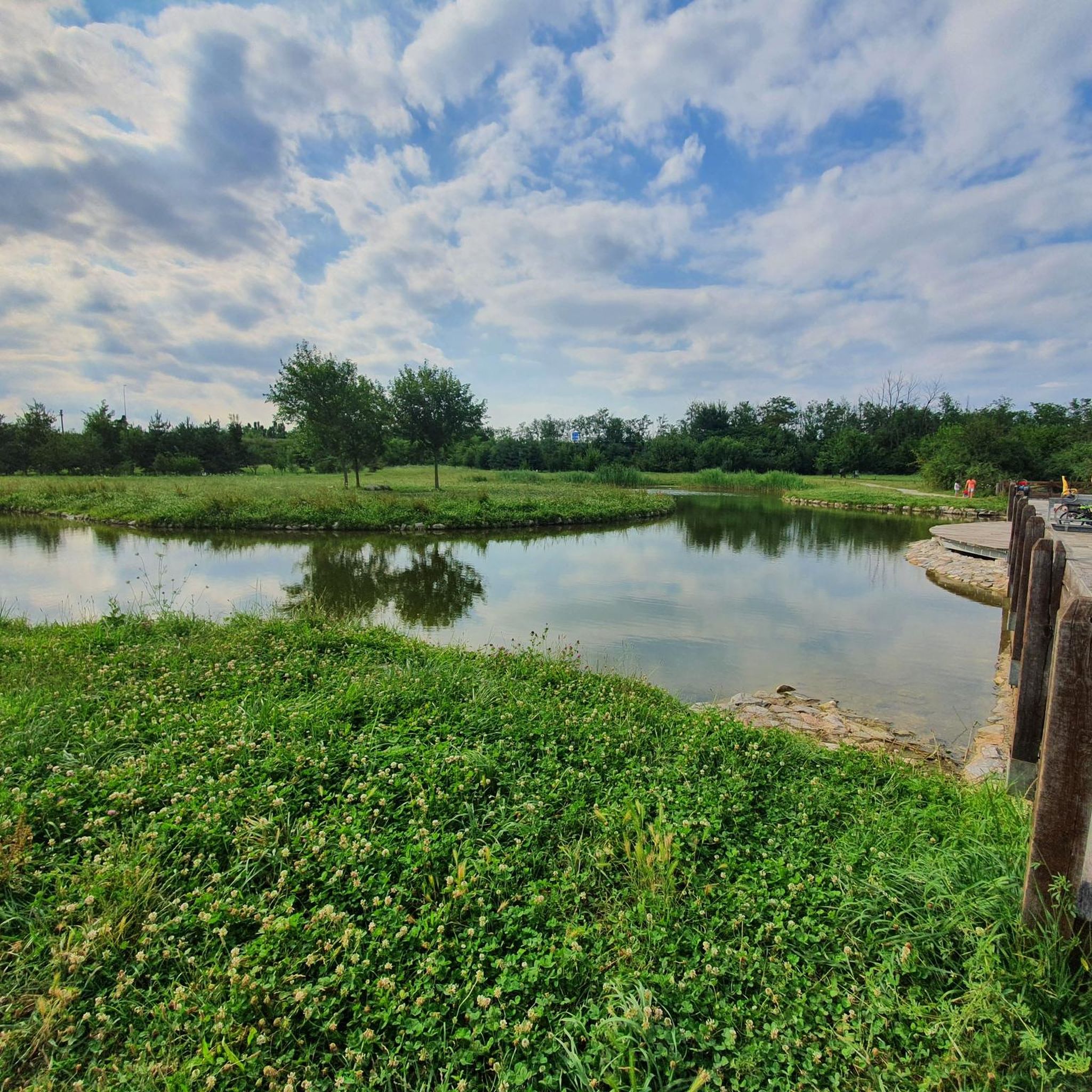
The Parco della Rosa Camuna is a natural park of about 50,000 sq m located between the intersection of the Villoresi Canal and the Lura stream, at the entrance to Lainate in the area north of the former Alfa Romeo, characterized by a small lake shaped like a camuna rose, a symbol of Lombard prehistoric culture. This small lake is fed by the Villoresi Canal. You arrive via cycle paths and a wooden walkway that leads to the center of the small lake.
0
0
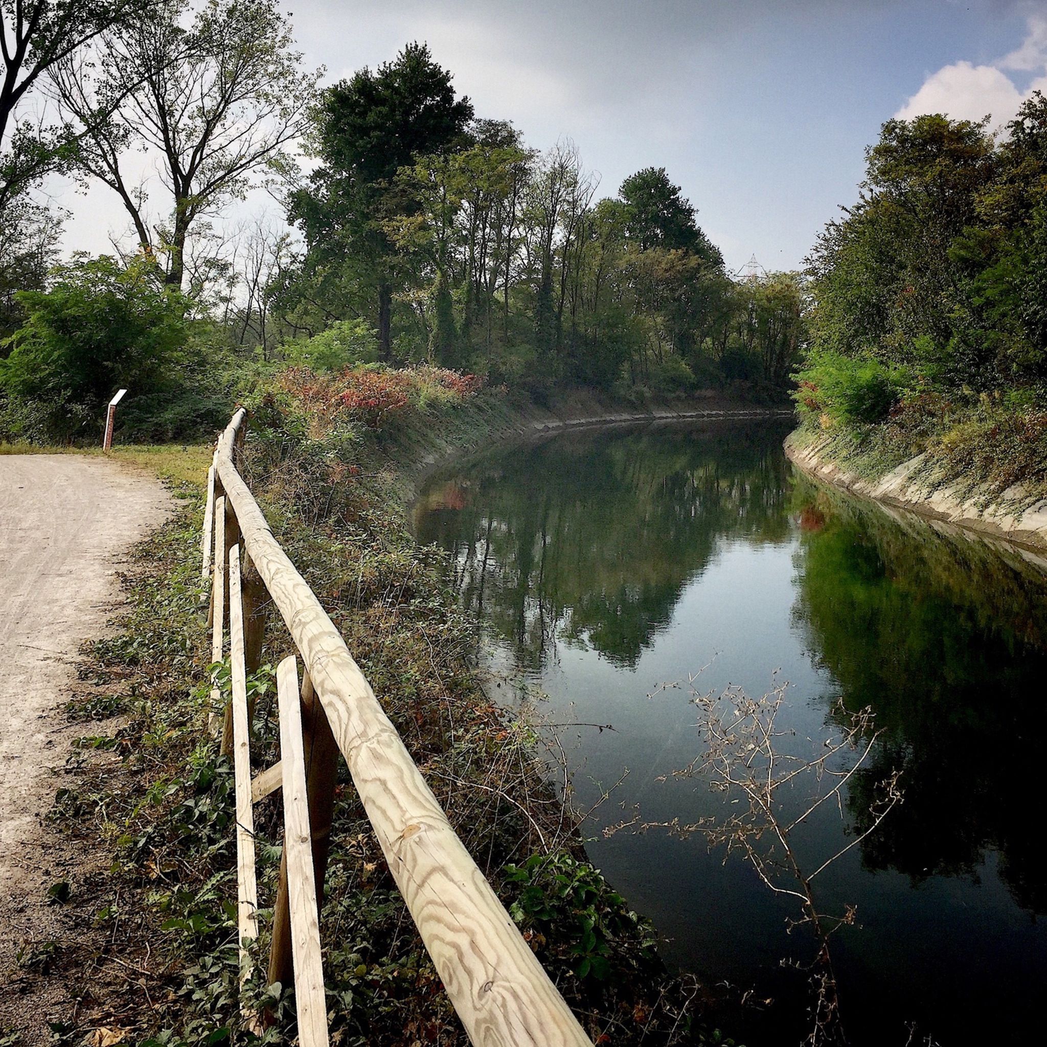
The Villoresi Canal Cycle Path is a flat and protected route of about 85-90 km that connects the Panperduto dam (Somma Lombardo, on the Ticino river) to Groppello d'Adda (Cassano d'Adda, on the Adda river).
0
0
The path and cycle path along the Villoresi Canal offer a flat route of about 80-86 km that connects the Ticino river (Panperduto dam) to the Adda (Groppello d'Adda), passing north of Milan and Turismo Monza.
0
0
The Strada Alzaia Canale Villoresi is a service road of about 85-90 km that runs along the canal from Somma Lombardo (VA) to Cassano d'Adda (MI), managed by the Consorzio Est Ticino Villoresi. Although widely used by cyclists and walkers, it is not a proper cycle path but a road for mixed use and maintenance.
0
0
The Strada Alzaia Canale Villoresi is a service road of about 85-90 km that runs along the canal from Somma Lombardo (VA) to Cassano d'Adda (MI), managed by the Consorzio Est Ticino Villoresi. Although it is widely used by cyclists and walkers, it is not a real cycle path but a road for mixed use and maintenance.
0
0

A nice place to stroll.
2
0

The climb to Alpe del Viceré from Albavilla is a classic ascent of the Larian Triangle. It measures about 5.4 km with an elevation gain of 465 meters and an average gradient of 8.5%. It features challenging sections with gradients up to 12%, followed by more rideable sections before the finish. Route details Start: Albavilla Centre (approx. 430 m a.s.l.). Finish: Alpe del Viceré Park (903 m a.s.l.). Average gradient: 8.5%. Maximum gradient: Approx. 12% (located around the 3rd kilometer).
0
0
The intersection between the Olona river and the Villoresi Canal occurs in the Alto Milanese area, specifically between the municipalities of Parabiago, Nerviano, and San Vittore Olona. This area is characterized by the intersection of local cycle paths (such as the Olona Greenway) and the long irrigation canal, offering naturalistic and historical routes.
1
0
Frequently Asked Questions
How many road cycling routes are available around Lainate?
There are over 600 road cycling routes around Lainate, offering a wide variety of options for different skill levels and preferences. You can find nearly 200 easy routes, almost 400 moderate routes, and over 50 challenging routes.
What kind of terrain can I expect on road cycling routes near Lainate?
The terrain around Lainate is quite varied. You'll find flat paths along the Villoresi Canal, agricultural areas, and urban fringes. For those seeking more challenge, routes extend towards Lake Como, incorporating significant elevation gains and ascents into the pre-alpine foothills.
Are there easy or beginner-friendly road cycling routes in Lainate?
Yes, Lainate offers nearly 200 easy road cycling routes, many of which follow the historic Villoresi Canal. These routes provide mostly flat and consistent rides, ideal for beginners or those looking for a relaxed outing. An example is the Villoresi Canal – Path Along the Villoresi Canal loop from Cesate.
Where can I find challenging road cycling routes around Lainate?
For experienced cyclists seeking a challenge, routes around Lainate extend towards Lake Como and into the pre-alpine foothills, featuring significant climbs. The Nesso Gorge – San Fermo della Battaglia loop from Cesate is a difficult route with substantial elevation gain, offering a demanding ride.
What are the best seasons for road cycling in the Lainate region?
The spring and autumn months generally offer the most pleasant conditions for road cycling around Lainate, with milder temperatures and less rainfall. Summer can be warm, especially in the flat areas, while winter rides are possible but may require checking weather conditions for colder temperatures or potential precipitation.
Are there scenic viewpoints along the road cycling routes?
Absolutely. Many routes offer beautiful vistas, particularly those heading towards Lake Como. For instance, the Chiesa di Puginate – View of Lake Como and Como loop from Cesate provides stunning views of Lake Como and the city of Como from elevated points.
Can I find circular road cycling routes in Lainate?
Yes, many of the road cycling routes around Lainate are designed as loops, allowing you to start and finish at the same point. Examples include the Villoresi Canal – Path Along the Villoresi Canal loop from Cesate and the more challenging Cucciago Climb – Civiglio loop from Cesate.
What do other road cyclists enjoy most about road cycling in Lainate?
The road cycling routes in Lainate are highly rated by the komoot community, with an average score of 4.2 stars from over 500 reviews. Cyclists often praise the diverse landscape, from the flat canal paths to the challenging climbs with rewarding lake views, and the variety of options catering to all ability levels.
Are there any natural attractions or points of interest near the cycling routes?
Yes, the region offers several natural attractions. You can explore areas like Groane Park, which features trails and forests. There are also various lakes and wetlands nearby, such as Rosa Camuna Pond and La Foppa Wetland, offering peaceful natural settings.
Are there places to stop for refreshments or food along the routes?
While specific cafes are not listed for every route, the routes often pass through or near towns and villages where you can find opportunities for refreshments. Routes that venture into more populated areas or towards Lake Como are more likely to have cafes and restaurants available.
Can I reach the road cycling routes around Lainate using public transport?
Lainate is well-connected to the Milan metropolitan area, and some starting points for routes, such as Cesate, are accessible by regional train lines. It's advisable to check local public transport schedules and bicycle carriage policies for specific routes and stations.
Most popular attractions around Lainate

Get inspired with the komoot mobile app


Explore more
Browse the best Road cycling routes in other regions.
