The best walks and hikes around Ceresole Reale
4.6
(1558)
8,860
hikers
109
hikes
Hiking around Ceresole Reale offers access to the diverse landscapes of the Orco Valley within the Gran Paradiso National Park in Piedmont, Italy. The region is characterized by majestic peaks, alpine lakes, and a mix of rocky slopes, forests, and alpine meadows. Hikers can explore high-altitude plateaus like Colle del Nivolet and traverse through woods of fir and larch.
Best hiking trails around Ceresole Reale
- The most popular hiking route is From Ceresole Reale to Lake Dres, a 7.1 miles (11.4 km) trail that takes 4 hours 32 minutes to complete, leading to a serene alpine lake.
- Another top favourite among local hikers is From Nivolet Lakes to Taou Blanc — Gran Paradiso National Park, a difficult 8.5 miles (13.7 km) path offering significant elevation gain and views within the national park.
- Local hikers also love the I Laghi Bellagarda — Ring tour, a 6.5 miles (10.4 km) trail leading through alpine pastures and towards the panoramic Bellagarda ponds, often completed in about 5 hours 16 minutes.
- Hiking around Ceresole Reale is defined by alpine lakes, majestic peaks, and diverse forests, with routes ranging from easy strolls to challenging high-altitude treks. The network offers options for different ability levels, including family-friendly hikes and more demanding trails.
- The routes in Ceresole Reale are highly rated by the komoot community with an average score of 4.6 stars from over 1300 reviews. More than 8000 hikers have used komoot to explore Ceresole Reale's varied terrain.
Last updated: August 17, 2026
4.7
(156)
529
hikers
11.4km
04:32
540m
540m
Begin your hike from Villa Poma in Ceresole Reale, following the shores of the artificial Lake Ceresole before you start to climb. The trail leads you through a rich coniferous forest of larch, spruce, white fir, and pine, eventually opening up to picturesque alpine pastures. You will enjoy stunning alpine scenery, including rhododendron meadows and views of Eastern Levanna, before reaching the serene glacial Lake Dres. This moderate hike covers 7.1 miles (11.4 km) with an elevation gain of 1781 feet (543 metres), typically taking around 4 hours and 32 minutes to complete.
This route is generally considered a moderate hike, requiring good fitness and sure-footedness due to the significant elevation changes. The starting point at Ceresole Reale (Villa Poma) is at 1584 metres, and Lake Dres sits at 2087 metres. Be aware that the area immediately surrounding Lake Dres can be swampy, so watch your step. While some sections are easier, the overall journey demands a steady pace and preparation.
This trail is one of the most popular hiking routes around Lake Ceresole, offering a deep dive into the pristine nature of Italy's oldest national park, Gran Paradiso. The varied terrain, from dense forests to open alpine landscapes, makes it particularly appealing. Keep an eye out for unique alpine fauna like the common frog near the lake, and you might even spot ibex, chamois, marmots, or eagles in the broader area.
4.8
(97)
507
hikers
13.7km
06:31
930m
930m
Embark on a difficult 8.5-mile (13.7 km) hike from Nivolet Lakes to Taou Blanc, gaining 3044 feet (928 metres) in elevation over approximately 6 hours and 30 minutes. Starting from the Nivolet Pass, you will first encounter the unique alluvial landscape of the Plan du Nivolet, dotted with crystal-clear lakes like Lake Rosset, known for its distinctive islet. As you ascend, the green pastures give way to a more rugged, stony terrain, often described as a lunar landscape, leading to the summit of Taou Blanc.
This challenging route requires very good fitness, sure-footedness, and alpine experience, as it involves technical sections, fine detritus, and scree. You might encounter snowfields even into July at higher altitudes, so check conditions and be prepared; specialist equipment like ice axes and crampons could be necessary. The best time to undertake this hike is typically from June to October, when the starting point at Nivolet Pass is accessible by road.
From the 3,438-meter summit of Taou Blanc, you are rewarded with an expansive 360-degree panorama, offering views of the Gran Paradiso massif, Mont Blanc, the Matterhorn, and the Combin group. Located within Italy's oldest national park, the trail traverses diverse ecosystems, from aquatic landscapes to stark high-altitude rock formations. Keep an eye out for rich flora and fauna, including ibexes, in this protected natural environment.

Sign up for free
4.8
(57)
223
hikers
10.4km
05:17
890m
890m
Embark on the I Laghi Bellagarda — Ring tour, a difficult hike spanning 6.5 miles (10.4 km) with a substantial elevation gain of 2920 feet (890 metres). This challenging route, estimated to take 5 hours and 16 minutes, leads you through diverse alpine landscapes in the Valle Orco. You will start on a dirt road, then climb into a beautiful forest of larch and fir trees. As you gain elevation, the forest opens up to reveal panoramic views of the Gran Paradiso group and its glaciers. The trail features several charming Bellagarda Lakes, where the majestic Levanne mountains are reflected. Expect varied terrain, including rocky sections, tree roots, and even stream crossings.
This ring tour is classified as a hard hike, requiring very good fitness, sure-footedness, sturdy shoes, and alpine experience. Sections of the path can be steep and involve climbing stepped terrain, particularly after Alpe Pian Pesse. While the trail quality is generally good, some parts are more challenging, and a section leading to the fourth lake might not be clearly marked. Always be prepared for alpine conditions and ensure you have the necessary gear for a demanding day on the trail.
The I Laghi Bellagarda — Ring tour is highly notable for its panoramic views of the Gran Paradiso mountain range and its glaciers. Its location just outside Gran Paradiso National Park offers a unique high-alpine experience. The area around the lakes is adorned with rhododendrons and blueberries, and the trail provides stunning views overlooking Lago di Ceresole Reale. Consider visiting in autumn, when the larches around the lakes turn a vibrant yellow, creating a particularly striking scene.
4.7
(47)
151
hikers
9.57km
04:47
810m
810m
Embark on the Bellagarda Lakes Loop Trail, a moderate hiking route that takes you through the stunning Gran Paradiso National Park. This journey covers 5.9 miles (9.6 km) with a significant elevation gain of 2643 feet (806 metres), typically completed in about 4 hours and 47 minutes. As you hike, you will experience captivating alpine scenery, moving through ancient alpine pastures and fascinating woods. The trail offers beautiful views of the large Lake Ceresole Reale before leading you to the picturesque Bellagarda Lakes, often vibrant with rhododendrons and blueberries. From the lakes, an expansive panorama reveals the majestic Gran Paradiso group, its glaciers, and the wild peaks of Levanne and Punta Basei.
This moderate hike requires you to have a good level of fitness and sure-footedness, as the terrain can be varied. While the paths are generally accessible, always be prepared for changing conditions in the mountains. Consider visiting in October, when the larch trees around the lakes transform into a brilliant yellow, adding a spectacular visual element to your hike. This time of year enhances the natural beauty of the area, offering a unique experience.
The Bellagarda Lakes Loop Trail is a rewarding journey within the Gran Paradiso National Park, an area renowned for its rich biodiversity and dramatic alpine landscapes. The park protects a diverse ecosystem, from the valley floors to the high peaks, making it a significant natural heritage site. The presence of glaciers and wild peaks like Levanne and Punta Basei highlights the rugged beauty and geological importance of this region. This trail offers you a chance to connect with the raw, untamed nature of the Italian Alps.
4.6
(20)
117
hikers
15.4km
06:48
960m
960m
Embark on a challenging hike to Rifugio Jervis, a difficult route spanning 9.5 miles (15.4 km) with a substantial elevation gain of 3155 feet (961 metres). This journey typically takes around 6 hours and 47 minutes to complete. As you ascend, the trail winds through a larch forest, eventually opening up to reveal a wide plateau and offering impressive views of the Levanne peaks and the Nel glacier.
To begin your hike, you'll find the trailhead at Villa Poma, easily accessible from Ceresole Reale, where parking is available. Remember to close the small gate after passing through it at the start of the trail, as it helps keep grazing goats contained. This route is best enjoyed during the warmer months when the alpine flora is in bloom and conditions are most favorable for a full day's outing.
Along the way, you'll traverse varied terrain, including sections where the path runs parallel to the deep gorge carved by the Rio del Nel, climbing over smooth, glacier-shaped rocks. The area is rich in alpine plants like rhododendrons and juniper, and if you're lucky, you might even spot chamois moving through the forest. Reaching Rifugio Jervis provides a perfect base for further exploration of the high alpine surroundings.
Get access to more routes and recommendations from other explorers.
Sign up for free
Already have an account?
Our route recommendations are based on thousands of hikes, rides, and runs completed by other people on komoot.
Start today with a free account
Your next adventure awaits.
Login or Signup
Popular around Ceresole Reale

GTA Central Piedmont – Dense forests, lakes and impressive waterfalls
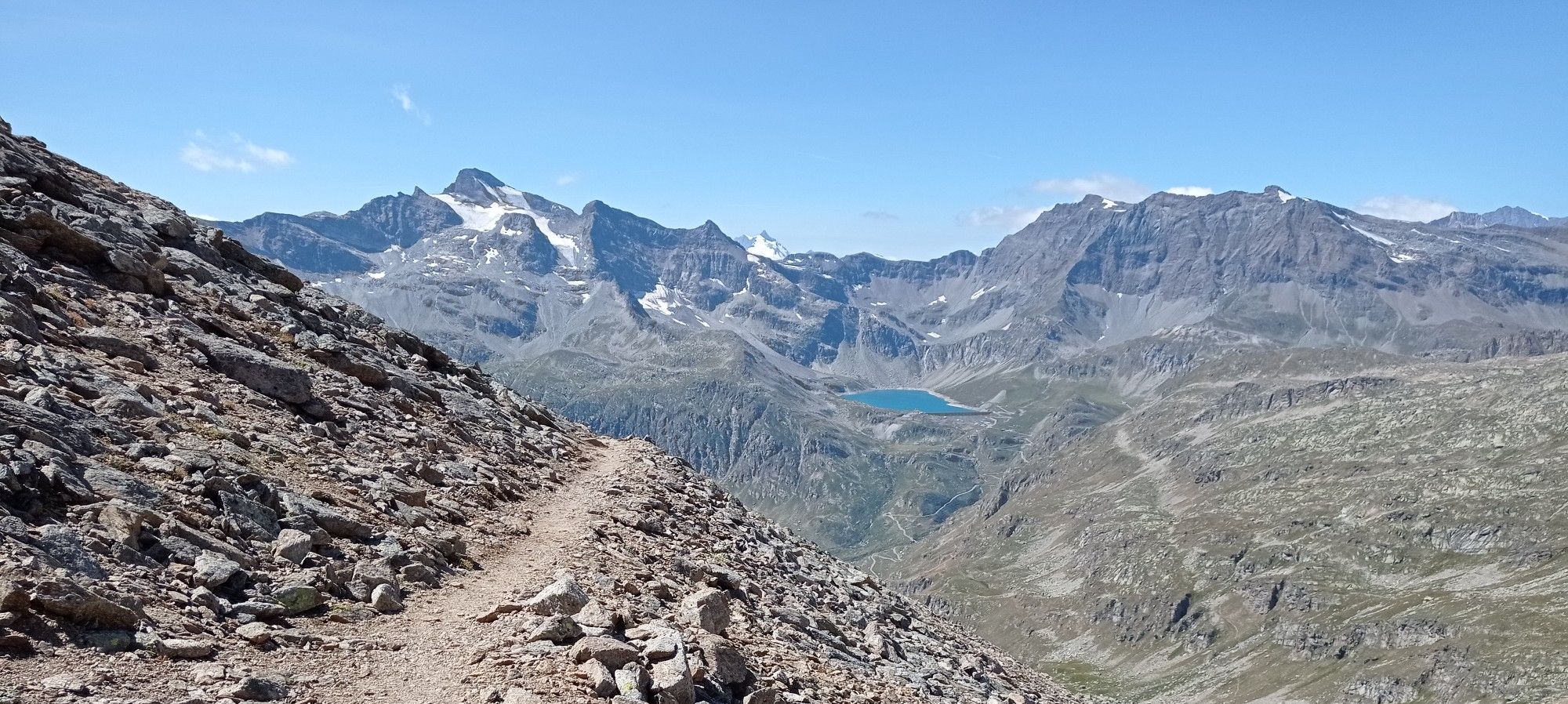
Giroparco Gran Paradiso – walking in Italy's first national park
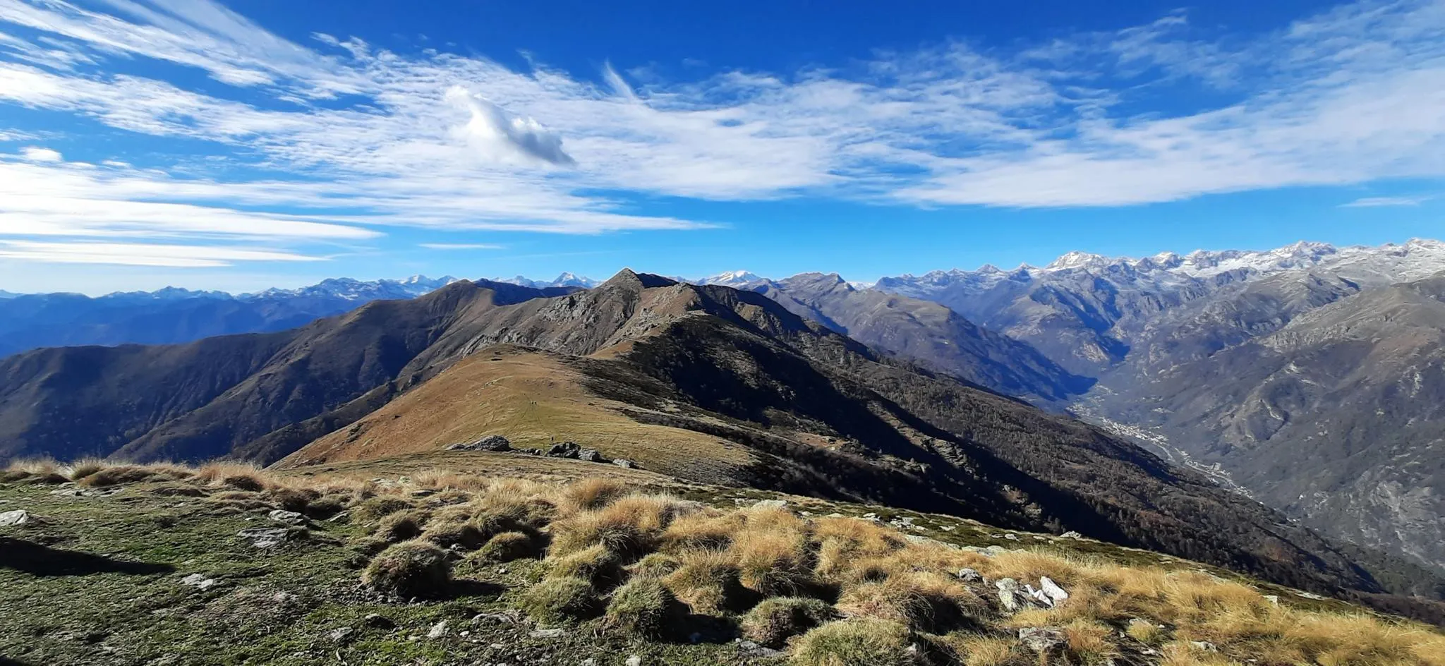
Trail running in Italy’s Orco Valley – Alta Via Canavesana
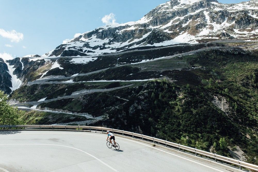
Off to the clouds on slick asphalt
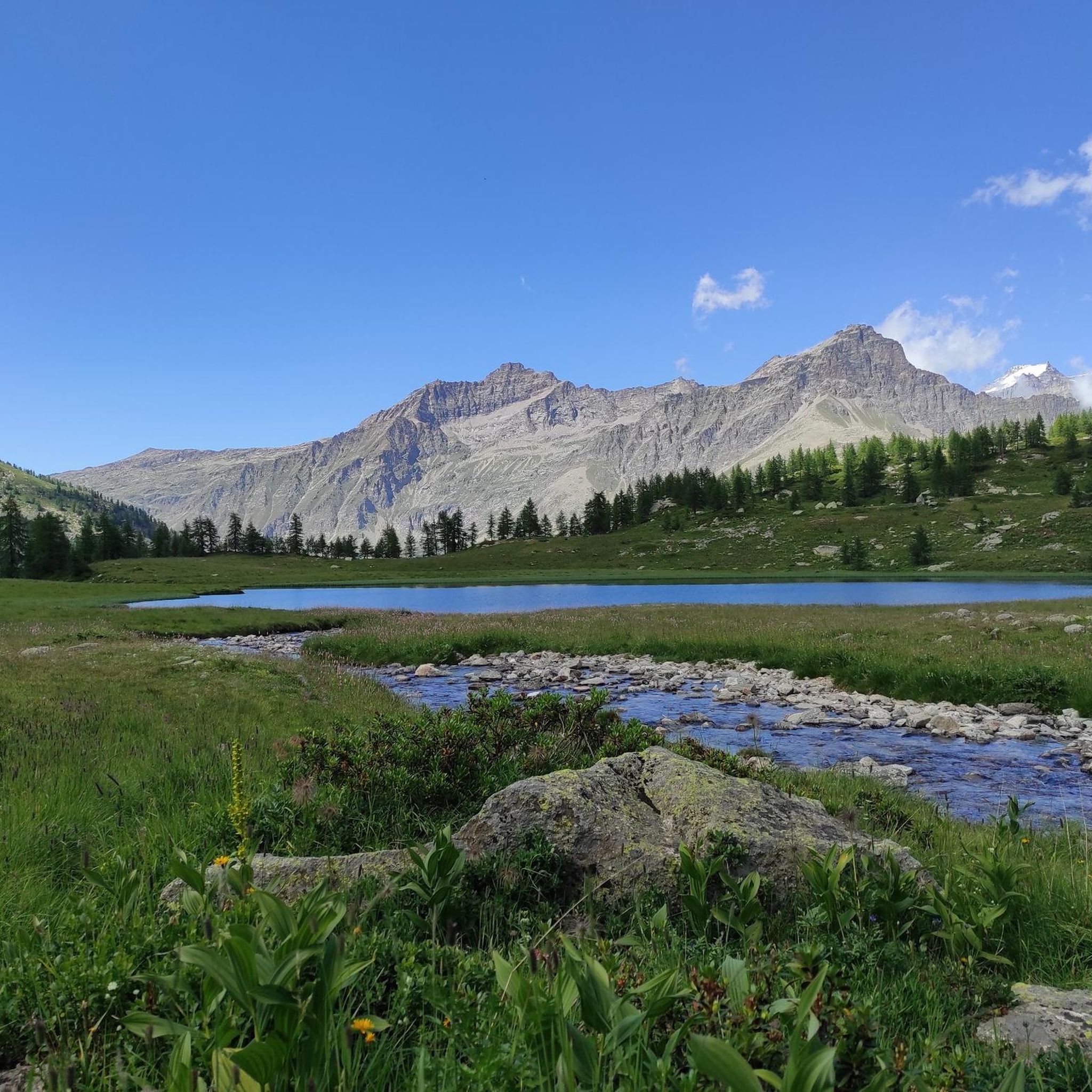
Cycling around Ceresole Reale
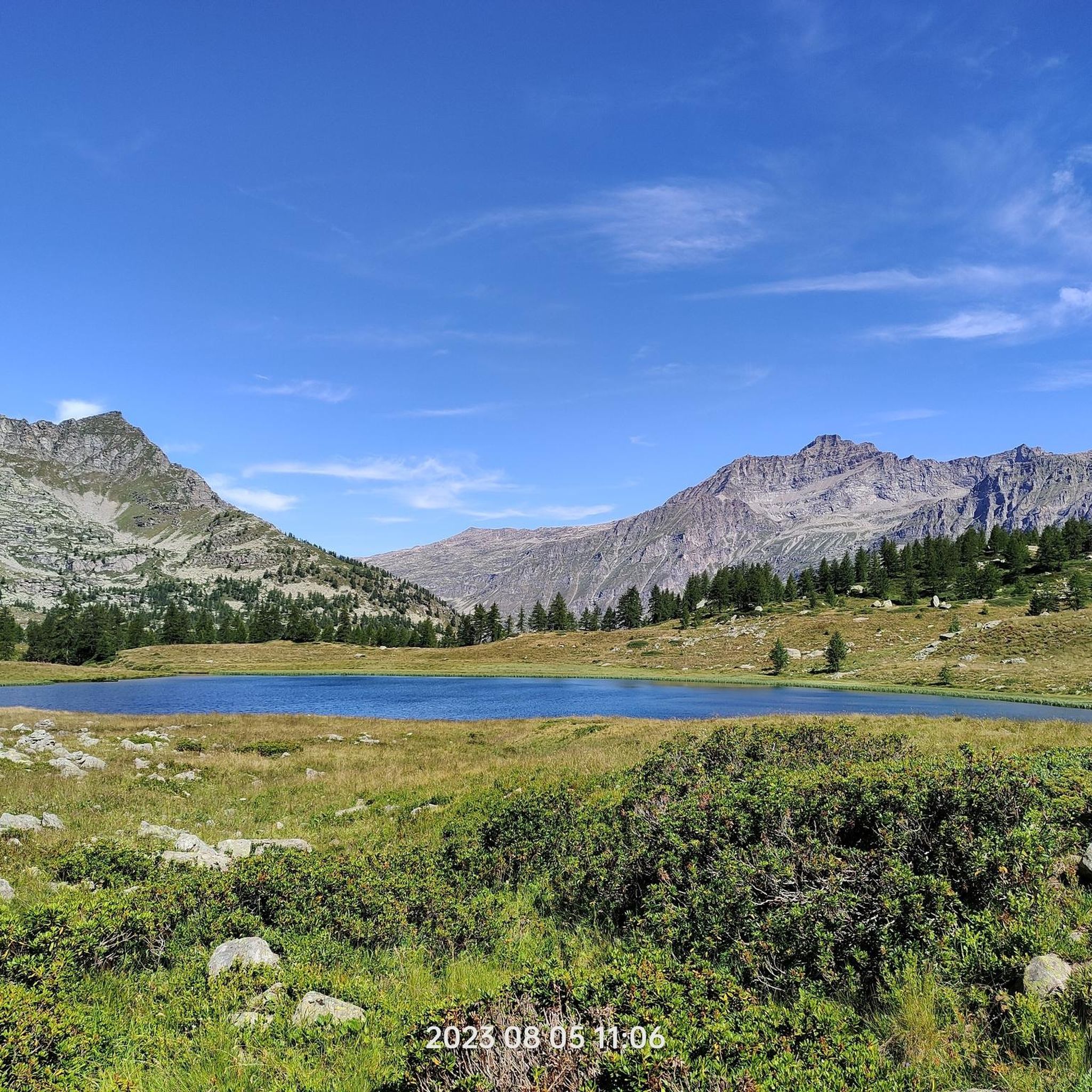
Running Trails around Ceresole Reale

Mountain Hikes around Ceresole Reale
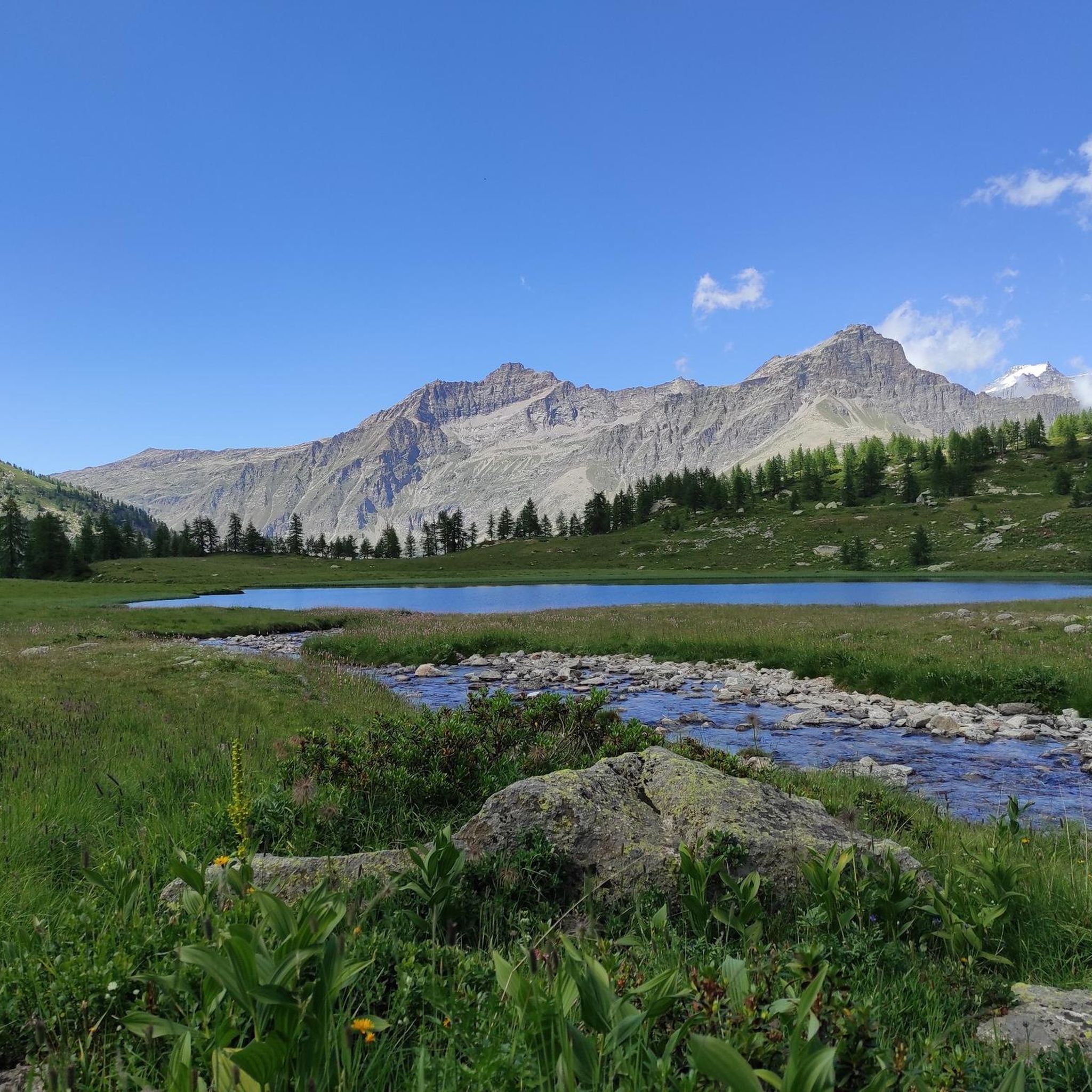
Road Cycling Routes around Ceresole Reale
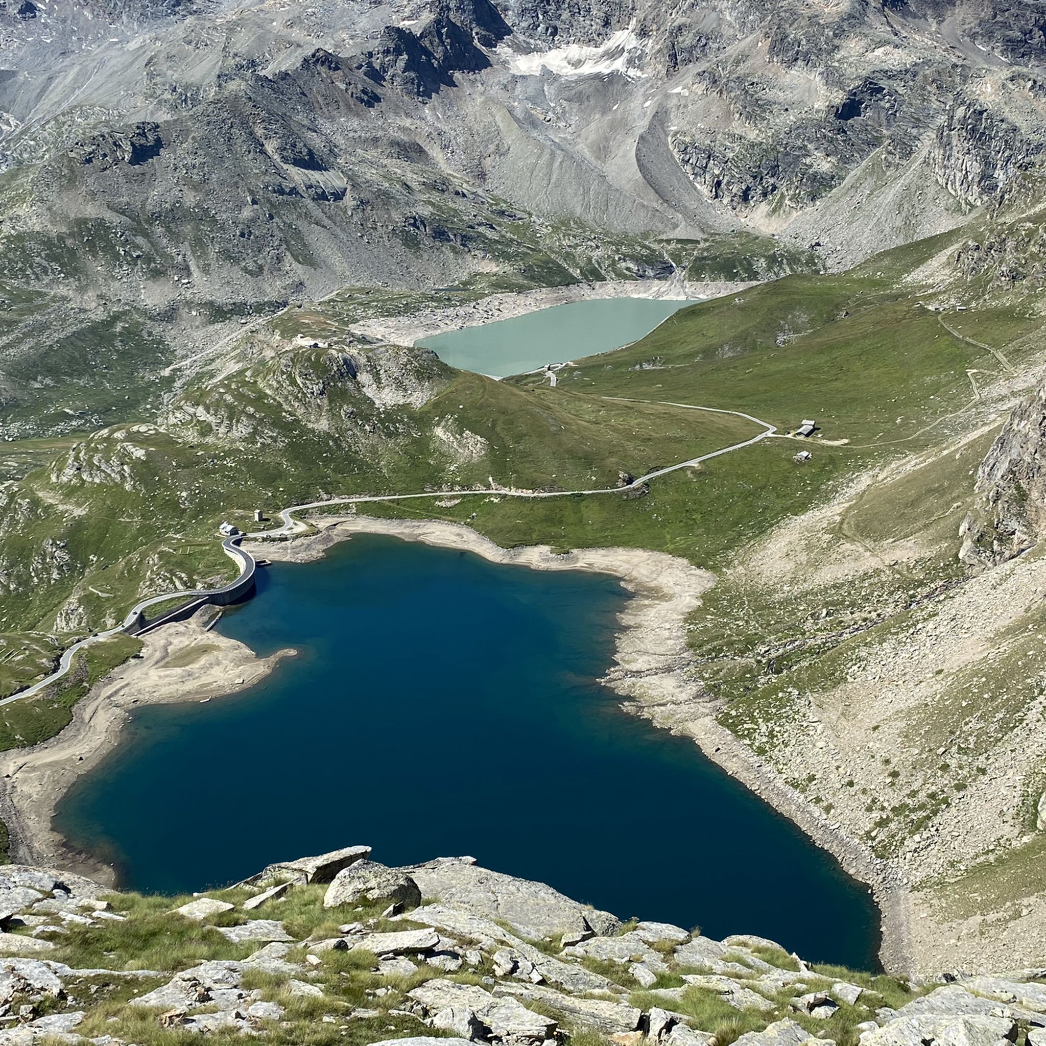
MTB Trails around Ceresole Reale
Other adventures around Ceresole Reale


Tips from the Community

How fast do you push it on the bike?
0
0

Refuge in front of the Nivolet lakes. In my opinion it would have great potential given the fabulous location, but in my opinion it is not exploited.
0
0

Rifugio Savoia is located at an altitude of 2,534 meters on the picturesque Nivolet plateau, right in the heart of the Gran Paradiso National Park. Born from the renovation of a historic hunting lodge of King Vittorio Emanuele II dating back to 1860, today it offers 40 beds and a welcoming kitchen with typical dishes of the Aosta Valley tradition.
2
0


you can admire it from all around the lake, a very beautiful ring
0
0

Hi Marika, I just signed up on the site, how can I find out about your next excursions to participate in? A thousand thanks
0
0

This area is dotted with both natural and artificial lakes, which make it a unique spectacle, especially when seen from the surrounding peaks.
3
0
The history of the refuge, named after the city of Chivasso since its birth, is located near Colle di Nivolet in the heart of the Gran Paradiso National Park. It was inaugurated on 07/16/1950.
1
0
Frequently Asked Questions
What kind of hiking trails can I expect in Ceresole Reale?
Ceresole Reale, located within the Gran Paradiso National Park, offers a diverse range of hiking trails. You'll find everything from leisurely strolls around alpine lakes to challenging high-altitude treks. The landscape features majestic peaks, glaciers, forests of fir and larch, and open alpine meadows. There are over 100 routes available, catering to various skill levels.
Are there any easy or family-friendly hiking options in Ceresole Reale?
Yes, Ceresole Reale has several easy and family-friendly options. A popular choice is the Giro Lago Ceresole Reale, a relatively flat ring-shaped trail around Lake Ceresole, which is even accessible to wheelchair users in most parts. Overall, there are 16 easy routes to explore, perfect for families or those seeking a relaxed walk.
What are some challenging hikes for experienced trekkers?
For experienced hikers, Ceresole Reale offers numerous challenging routes, with 44 difficult trails available. One such demanding path is From Nivolet Lakes to Taou Blanc — Gran Paradiso National Park, which features significant elevation gain and stunning views within the national park. High-altitude trekking and multi-day hikes like the Giro del Parco Nazionale Gran Paradiso are also popular.
Are there any circular hiking routes in the area?
Yes, Ceresole Reale features several excellent circular routes. A local favorite is the I Laghi Bellagarda — Ring tour, which leads through charming woods and ancient alpine pastures towards the panoramic Bellagarda ponds. Another option is the Bellagarda Lakes Loop Trail, offering similar scenic beauty.
What natural landmarks or viewpoints can I see while hiking?
The region is rich in natural landmarks and viewpoints. You can visit Lake Serrù or experience the breathtaking panoramic views from Colle del Nivolet, known for its pristine alpine lakes. The Croce della Roley also offers a notable viewpoint.
Can I hike with my dog in Ceresole Reale?
While the Gran Paradiso National Park has specific regulations regarding dogs to protect wildlife, many trails outside the strictly protected areas or on leash are generally dog-friendly. It's always best to check local signage and park regulations for the specific trail you plan to hike, especially within the national park boundaries, to ensure a pleasant experience for you and your pet.
What is the best time of year to go hiking in Ceresole Reale?
The best time for hiking in Ceresole Reale is typically from late spring to early autumn (June to September) when the alpine meadows are in bloom and the high-altitude passes are clear of snow. During summer, the road to Colle del Nivolet is often closed to private traffic, promoting slow travel and shuttle use, which enhances the hiking experience. In winter, the area transforms for snowshoeing and cross-country skiing.
Are there any huts or refuges along the trails for overnight stays or refreshments?
Yes, Ceresole Reale and the surrounding Gran Paradiso National Park offer several huts and refuges. Notable options include the Vittorio Emanuele II Hut, Rifugio G. Federico Benevolo, and Federico Chabod Hut. These provide opportunities for refreshments or overnight stays on longer treks.
What do other hikers say about the trails in Ceresole Reale?
The hiking trails in Ceresole Reale are highly regarded by the komoot community, holding an average rating of 4.6 stars from over 1300 reviews. Hikers often praise the stunning alpine scenery, the variety of routes for all skill levels, and the well-maintained paths that lead to beautiful lakes and panoramic viewpoints.
Is public transport available to reach hiking trailheads?
While specific public transport details for every trailhead can vary, Ceresole Reale is accessible, and during peak season, shuttle services are often available, especially for popular areas like the Colle del Nivolet, where road access is restricted. It's advisable to check local transport schedules before your trip for the most up-to-date information.
What kind of wildlife might I encounter on the trails?
As Ceresole Reale is located within the Gran Paradiso National Park, you have a good chance of spotting diverse alpine wildlife. Keep an eye out for ibex (the park's symbol), chamois, foxes, eagles, and marmots, especially in the higher alpine meadows and rocky slopes.
Are there opportunities for long-distance hiking in the region?
Yes, Ceresole Reale is an excellent base for long-distance hiking. The area is part of the extensive trail network of the Gran Paradiso National Park, offering multi-day treks such as the Giro del Parco Nazionale Gran Paradiso. These routes allow experienced hikers to immerse themselves deeply in the alpine environment.
Most popular attractions around Ceresole Reale

Get inspired with the komoot mobile app


Explore more
Browse the best Hikes in other regions.
