The best walks and hikes around Anfo
4.4
(1035)
4,651
hikers
37
hikes
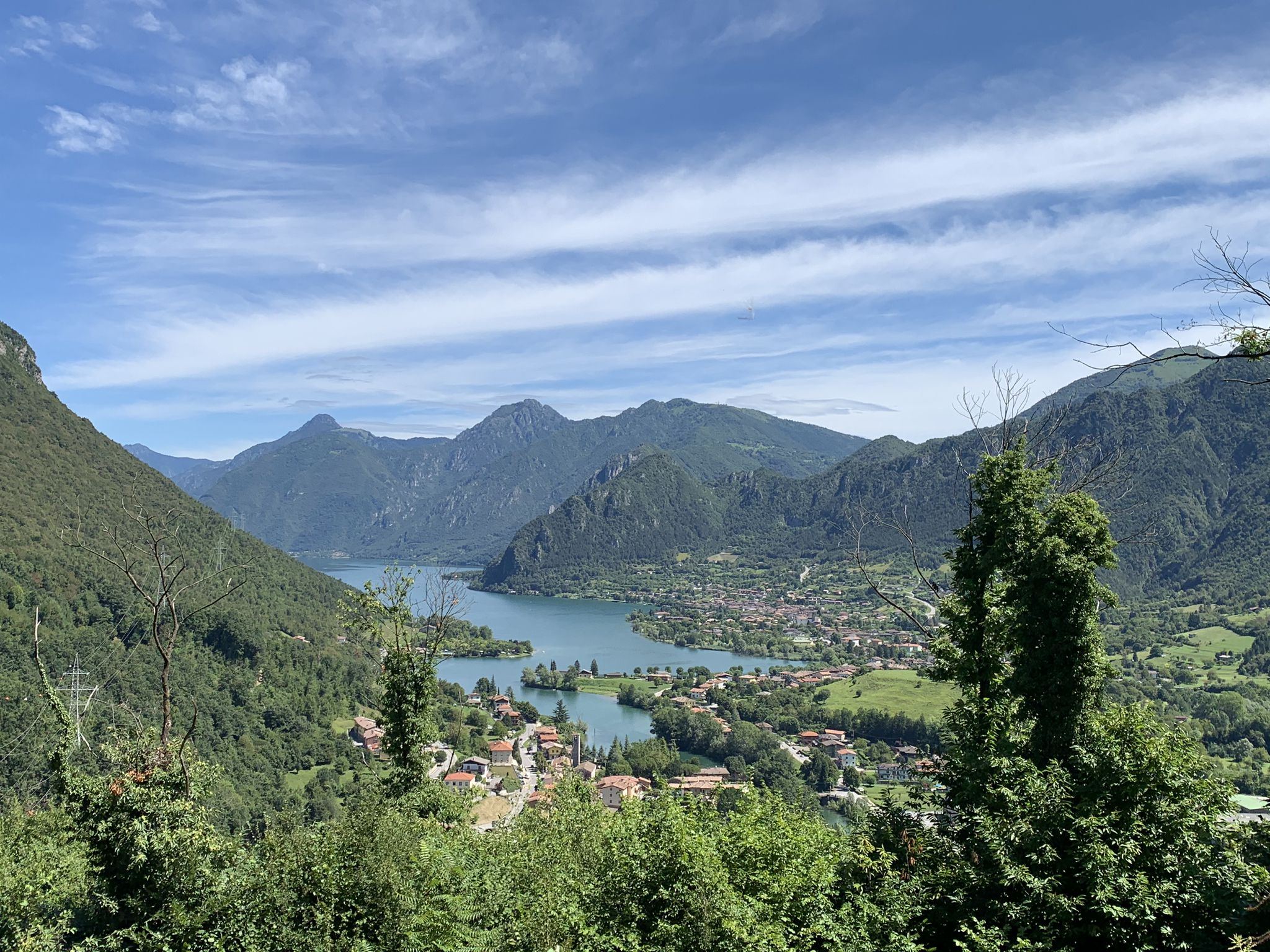
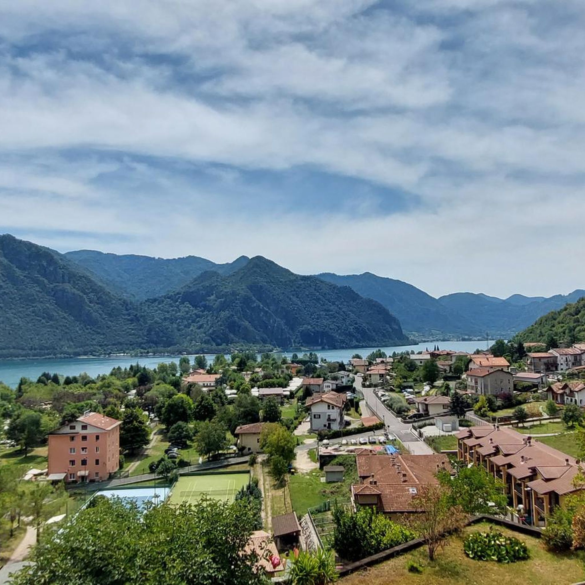
Hiking around Anfo, Italy, offers diverse landscapes centered around the glacial Lake Idro and its surrounding mountainous terrain. The region features a mix of forest paths, rocky cliffs, and valleys, providing varied elevation gains. Hikers can explore trails that lead to panoramic viewpoints overlooking the lake and its natural features. The area's geology includes significant mountain forests and dramatic rock formations.
Best hiking trails around Anfo
- The most popular hiking route is Santa Petronilla - Coca Chetoi Trail, a…
Last updated: September 26, 2026
4.6
(102)
297
hikers
6.42km
02:38
450m
440m
Hike the moderate Santa Petronilla - Coca Chetoi Trail, covering 4.0 miles with 1474 feet of elevation gain to stunning waterfalls.
4.5
(4)
17
hikers
10.1km
05:14
970m
970m
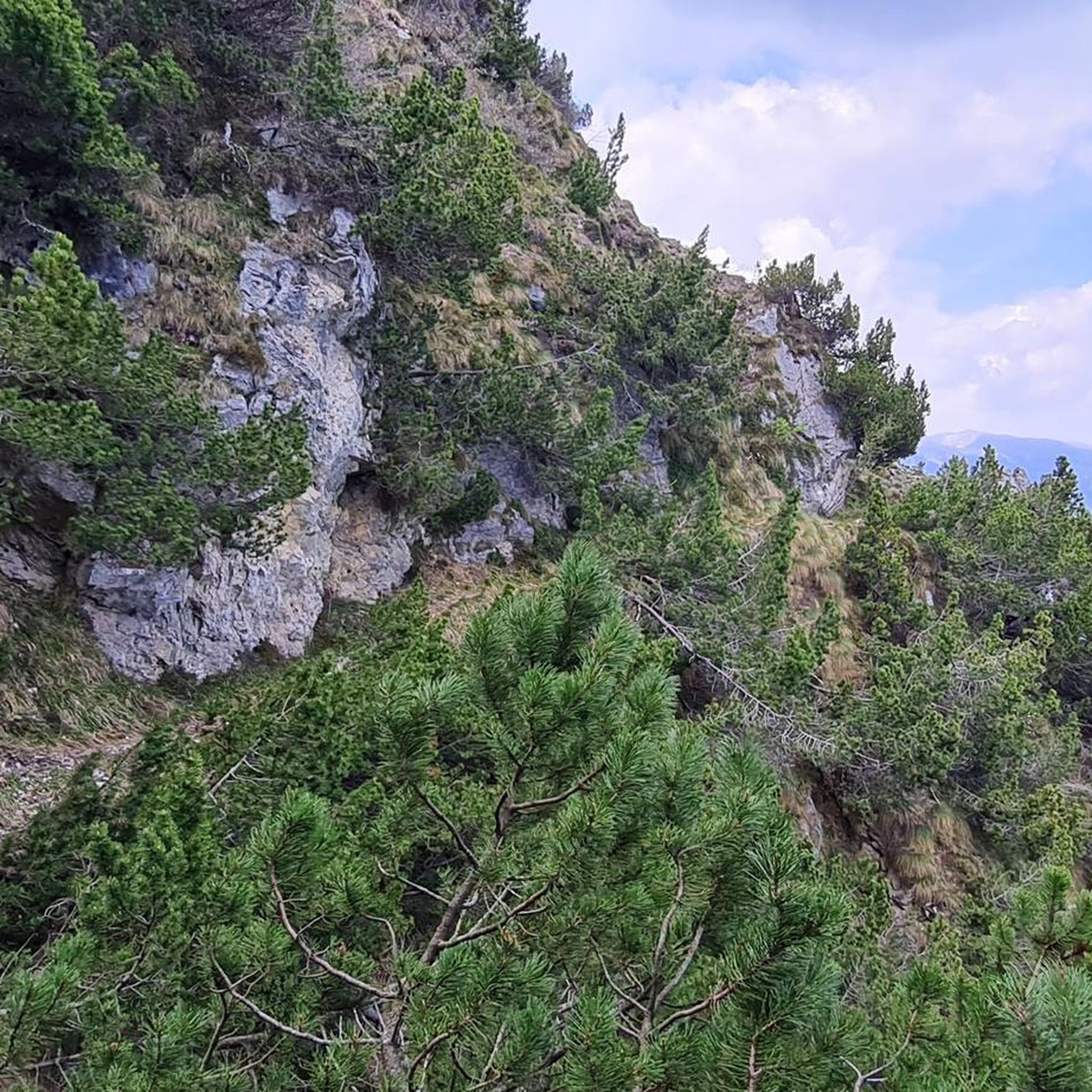
Mountain trail above Lake Idro with rocky cliffs and panoramic views from Cima Valcaelli.

5.0
(1)
7
hikers
16.9km
06:17
1,140m
1,130m
Forest paths and meadows lead to Passo della Spina with sweeping Brescia Alps views.
Pine-scented ridge hike following Torrente Scornabo to Monte Paghera's summit overlooking Lake Idro.
11.1km
04:48
700m
700m
Hike the moderate Cima Ora Fort Loop for historic World War I fortifications and panoramic views of Lake Idro and surrounding mountains.
Get access to more routes and recommendations from other explorers.
Already have an account?
Our route recommendations are based on thousands of hikes, rides, and runs completed by other people on komoot.
Start today with a free account
Your next adventure awaits.

Other adventures around Anfo

Tips from the Community

On the east side there is an alternative route up to the fort which also passes through a short section of iron path and a long, slender ladder that overcomes a wall of about fifteen metres.
0
0


the real path to Mount Censo starts from here
0
0


Italian fort of the First World War, the enormous complex of buildings, although abandoned, manages to make most people imagine what life was like on the front more than 100 years ago. anyone intending to visit it should do so with extreme caution! ⚠ the entire structure falls apart!
0
0

The Cima Ora fort is part of the route of forts and artefacts on the trail of the 1915-18 war on Lake Garda. From its roof, where currently only the holes where the cannon batteries were positioned remain, you can admire a breathtaking 360 degree panorama from Mount Baldo to Lake Idro and Mount Maniva. At the start of the road that leads to the fort there is an information sign explaining the history and construction.
4
0

Monte Censo (1,012 m) is one of them. In note you take the road to Baremone; After 2 hairpin bends and a long right bend you will see a small church on the right. Park your car next to or near the small church. From there you continue on foot on path 433. In terms of difficulty, this path is classified as moderately difficult. After a short hike of an hour and a half you reach the summit. From there you can admire the entire lake from north to south.
0
0

The majestic fortification was built starting in 1913 and was part of the second defensive line called "Giudicarie Barrage". The vegetation has taken over the structure and does not allow panoramic views but at the time you could control the entire northern part of Lake Iseo from here.
0
0
Frequently Asked Questions
How many hiking trails are there around Anfo?
Anfo offers a diverse network of over 30 hiking trails. These routes cater to various skill levels, ranging from easy strolls to challenging mountain ascents, all set against the backdrop of Lake Idro and its surrounding mountains.
Are there any easy, family-friendly hikes in Anfo?
Yes, Anfo has 5 easy trails suitable for families and beginners. These paths often provide gentle terrain and scenic views, allowing everyone to enjoy the natural beauty of the Lake Idro area. While specific family-friendly routes aren't detailed here, you'll find options that are less challenging and perfect for a leisurely outing.
Which trails feature waterfalls in the Anfo area?
For those seeking waterfalls, the Santa Petronilla - Coca Chetoi Trail is highly recommended. This moderate route is specifically known for leading to stunning waterfalls. Additionally, the nearby Parco delle Fucine in Casto, though not directly in Anfo, is celebrated for its splendid valley carved by streams and waterfalls.
Are there any circular hiking routes around Lake Idro?
Yes, you can find circular routes that offer comprehensive views of the lake. A notable example is the challenging Enjoying the view on Lake Idro — Ring tour, which provides extensive panoramic vistas across the entire lake. Many nature walks around the lake's perimeter also offer circular options.
What kind of views can I expect on hikes in Anfo?
Hikers in Anfo are rewarded with spectacular views, primarily of the glacial Lake Idro. Many trails lead to panoramic viewpoints overlooking the entire lake, from north to south. You'll also experience lush mountain forests, dramatic rocky cliffs, and the diverse landscapes of the Val Sabbia area.
What historical landmarks or attractions can I see while hiking in Anfo?
Anfo is rich in history. The prominent Rocca d'Anfo, a 15th-century Napoleonic fortification, is a significant historical site that hikers can explore. You can also discover historical paths like the 'Lanzichenecchi Trails' and the 'Sentiero dei “Morti”' near Ponte Caffaro, which offer incredible views of Lake Idro and a glimpse into the region's past.
Are there any specific trails that go through rocky terrain or cliffs?
Yes, some trails in Anfo traverse dramatic rocky terrain. For instance, the Lake Idro to Cima Valcaelli (via CAI 433) route leads through rocky cliffs, offering a more rugged hiking experience and adding to the dramatic scenery of the area.
What do other hikers say about the trails in Anfo?
The komoot community highly rates the trails in Anfo, with an average score of 4.4 stars from over 700 reviews. Hikers frequently praise the diverse landscapes, the stunning views of Lake Idro, and the variety of routes available for different fitness levels.
What is the best time of year to go hiking in Anfo?
While specific seasonal advice isn't provided, the diverse landscapes of Anfo, including its mountain forests and lake surroundings, suggest that spring and autumn offer pleasant temperatures and vibrant scenery for hiking. Summer can also be enjoyable, especially for higher altitude trails, while winter might present challenges due to snow in mountainous areas.
Are there any huts or refuges along the hiking routes in Anfo?
Yes, there are several huts and refuges in the vicinity of Anfo that can serve as resting points or overnight stays. Notable options include Monte Stino Hut, Rifugio Passo Cavallino, and Tita Secchi Hut. These can be valuable resources for longer hikes.
Are there any trails that offer significant elevation gain for a challenging hike?
Absolutely. Anfo's mountainous terrain provides numerous opportunities for elevation gain. For a challenging experience, consider routes like the Forest paths to Passo della Spina (via CAI 437), which involves over 1,100 meters of ascent. These difficult trails require good fitness and sturdy footwear.
Can I find trails that lead to mountain summits in Anfo?
Yes, you can hike to various summits in the area. The Monte Paghera summit trail from Chiesa di Santa Petronilla (via Route 435) is a moderate option that takes you to a peak, offering rewarding views of the surrounding landscape.
Most popular attractions around Anfo

Get inspired with the komoot mobile app


Explore more
Browse the best Hikes in other regions.
