The best road cycling routes around Courmayeur
4.5
(302)
12,766
riders
13
rides
Best road cycling routes Courmayeur Italy are found in a region characterized by its dramatic alpine setting at the foot of the Mont Blanc massif. The terrain features varied elevations, from challenging uphill climbs to flatter stretches along the valley floors of Val Veny and Val Ferret. The Dora Baltea River flows through the valleys, complementing the landscape of pine woods and high-altitude flora.
Best road cycling routes around Courmayeur
- The most popular road cycling route is Val Ferret Road, a 12.6 miles (20.3 km) trail that takes 1 hour 11 minutes to complete. This moderate route offers views of the Mont Blanc massif as it winds through Val Ferret.
- Another top favourite among local road cyclists is Pré-Saint-Didier – Castello di Aymavilles loop from Courmayeur, a difficult 48.6 miles (78.2 km) path. This route features significant elevation gain and passes through varied Aosta Valley landscapes.
- Local road cyclists also love the Pré-Saint-Didier – La Thuile loop from Entrèves, a 37.8 miles (60.8 km) trail leading through alpine valleys and past mountain villages, often completed in about 3 hours 32 minutes.
- Road cycling around Courmayeur is defined by the towering Mont Blanc massif, the distinct Val Veny and Val Ferret, and the Dora Baltea River. The network offers options for different ability levels, from moderate valley rides to challenging climbs.
- The routes in Courmayeur are highly rated by the komoot community with an average score of 4.5 stars from over 140 reviews. More than 6,000 road cyclists have used komoot to explore Courmayeur's varied terrain.
Last updated: July 7, 2026
3.8
(4)
60
riders
20.3km
01:12
440m
440m
Moderate road ride. Good fitness required. Some segments of this route may be unpaved and difficult to ride.
3.9
(16)
486
riders
82.8km
04:25
1,600m
1,600m
Hard road ride. Very good fitness required. Mostly well-paved surfaces and easy to ride.

Sign up for free
4.0
(3)
176
riders
40.7km
02:15
810m
810m
Moderate road ride. Good fitness required. Some segments of this route may be unpaved and difficult to ride.
5.0
(2)
102
riders
38.1km
02:11
860m
860m
Moderate road ride. Good fitness required. Mostly well-paved surfaces and easy to ride.
4.0
(1)
31
riders
33.3km
02:20
1,170m
1,170m
Hard road ride. Very good fitness required. Some segments of this route may be unpaved and difficult to ride.
Get access to more routes and recommendations from other explorers.
Sign up for free
Already have an account?
Our route recommendations are based on thousands of hikes, rides, and runs completed by other people on komoot.
Start today with a free account
Your next adventure awaits.
Login or Signup
Popular around Courmayeur

Alta Via n. 1 of the Aosta Valley — a walk among Italian giants
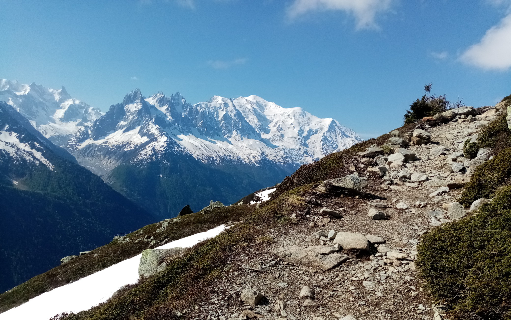
Ultra-Trail du Mont-Blanc – following the footsteps of legends
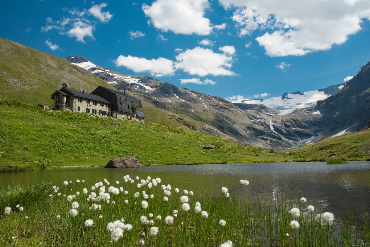
Hiking to the Aosta Valley’s mountain huts: 10 beautiful trails

Alta Via n. 2 of the Aosta Valley — high peaks and beautiful valleys in Italy
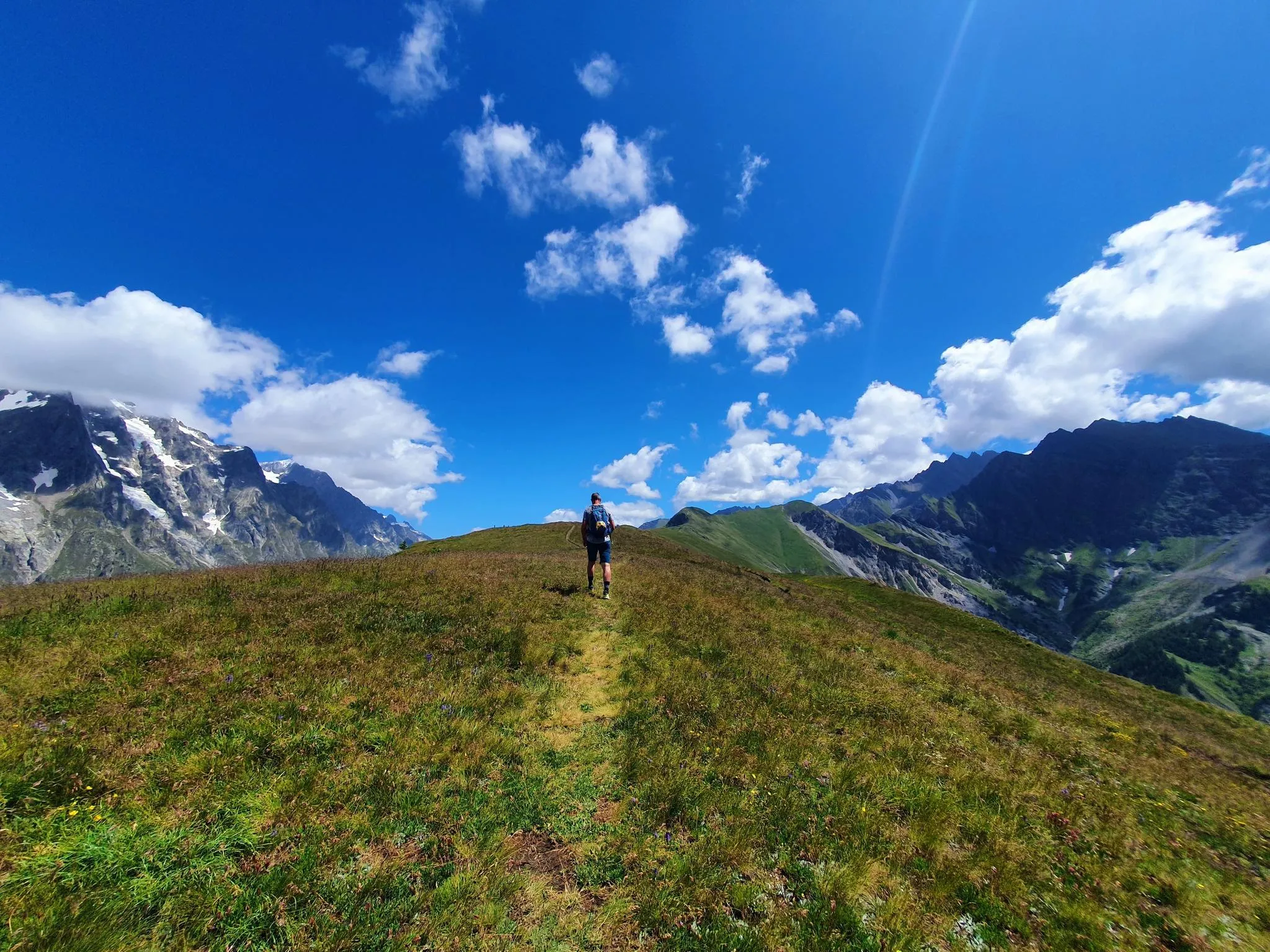
With a view of Mont Blanc – trail running from Courmayeur
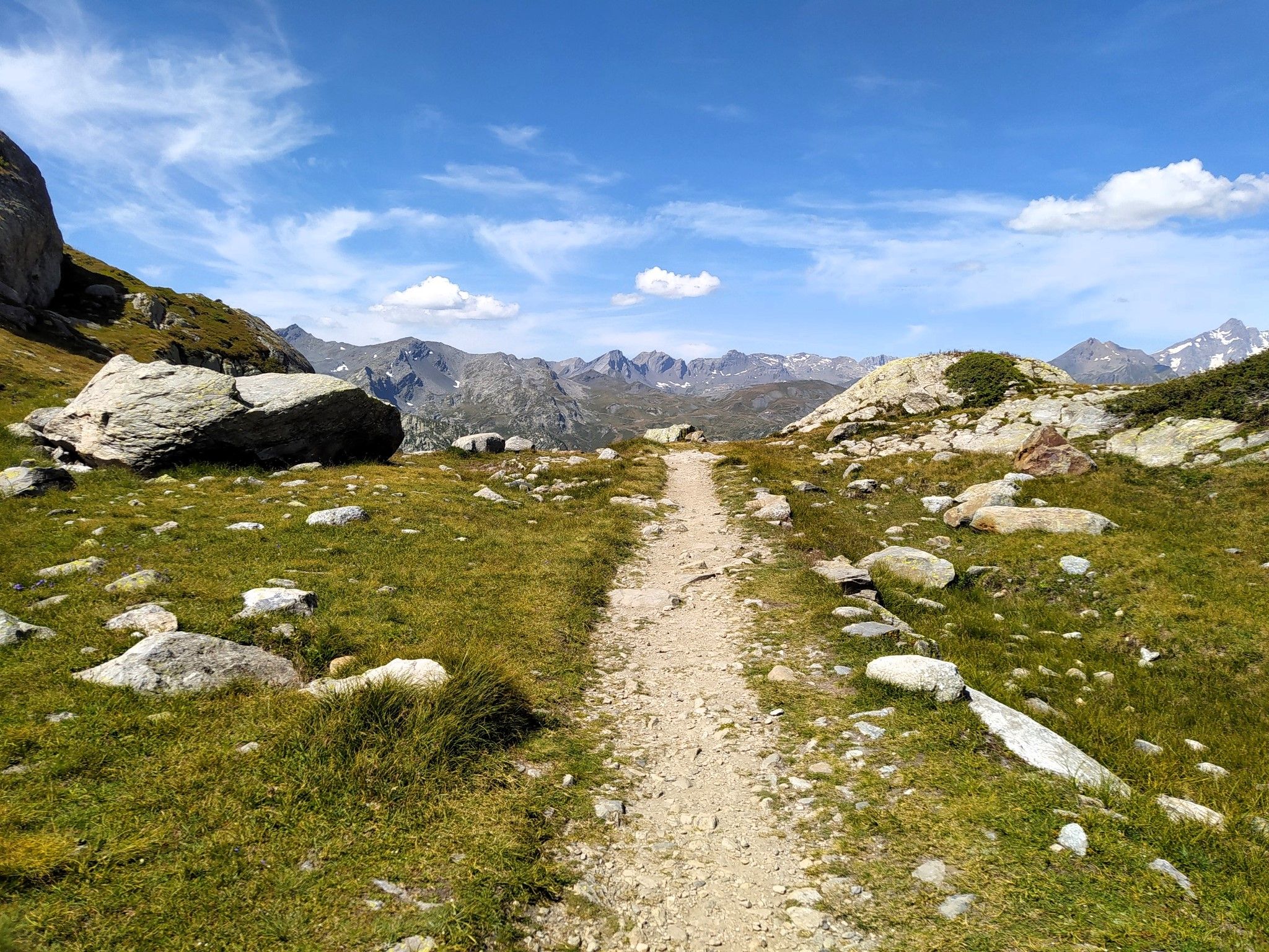
Running in paradise – Alta Via 2 of Valle d'Aosta
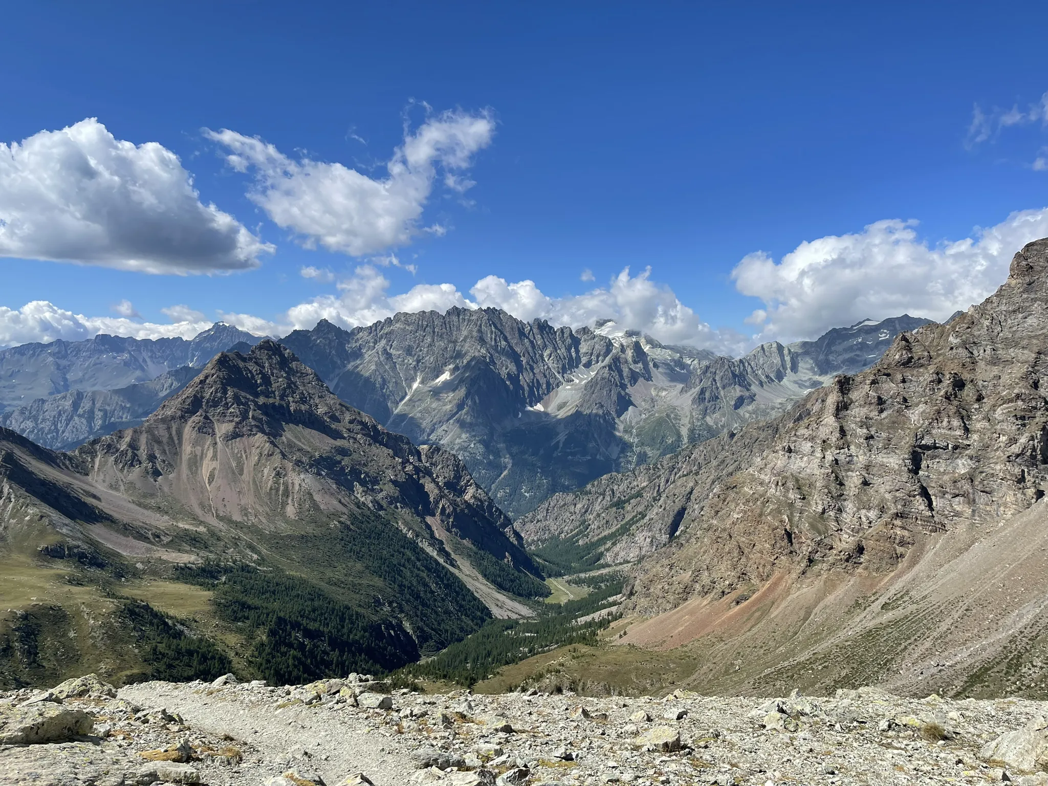
Running between the giants of the Alps – Tor des Géants
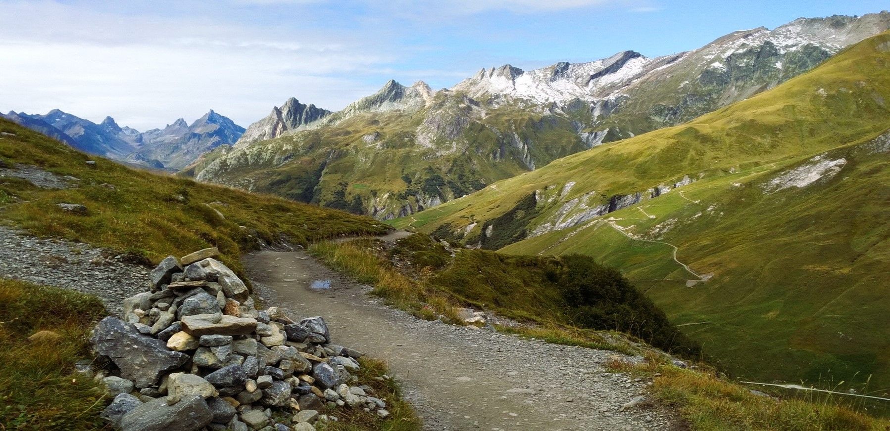
At the foot of Mont Blanc – a trek around Courmayeur
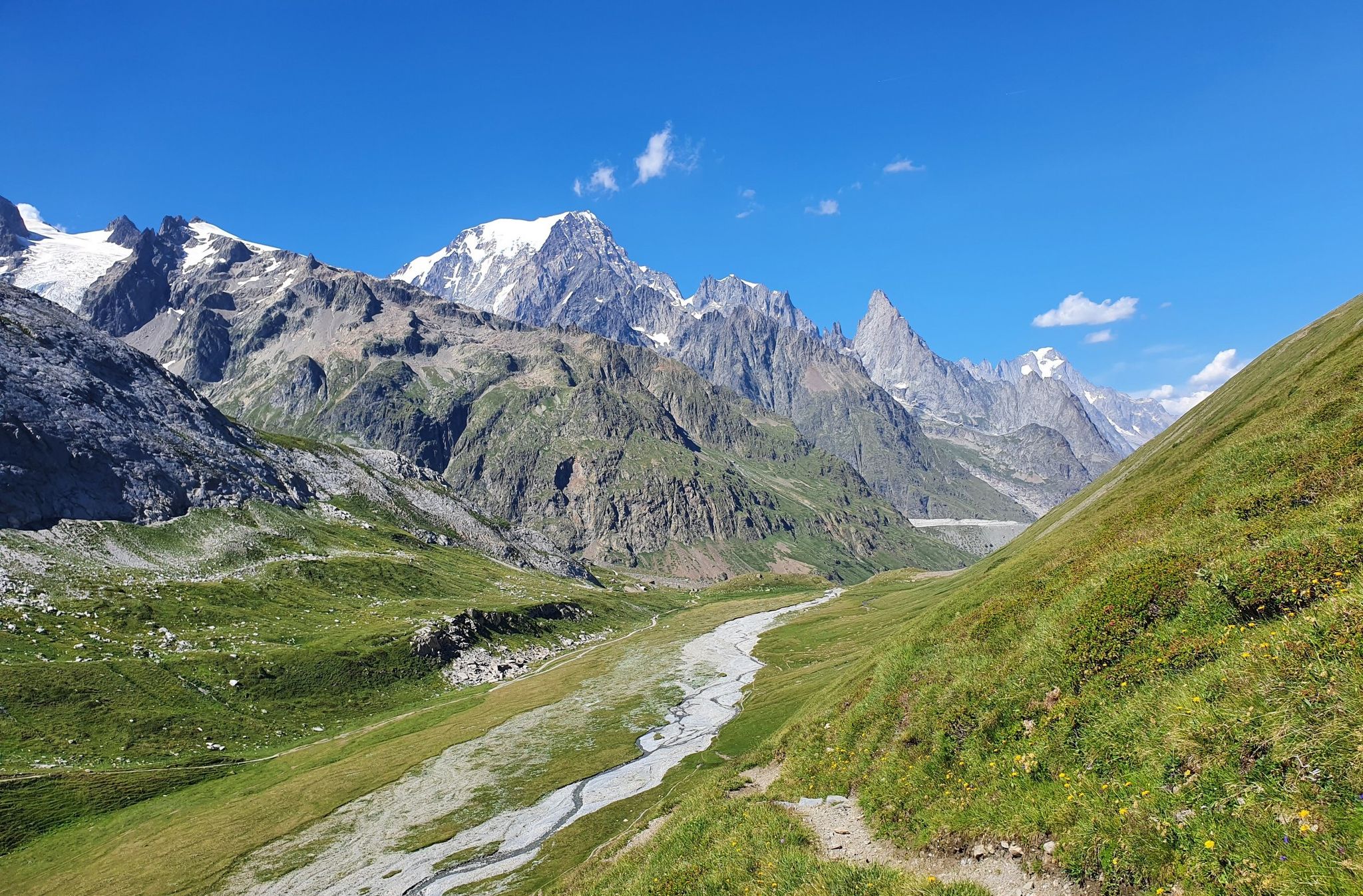
High peaks and beautiful valleys in Italy – Aosta Valley’s Alta Via Trail 2
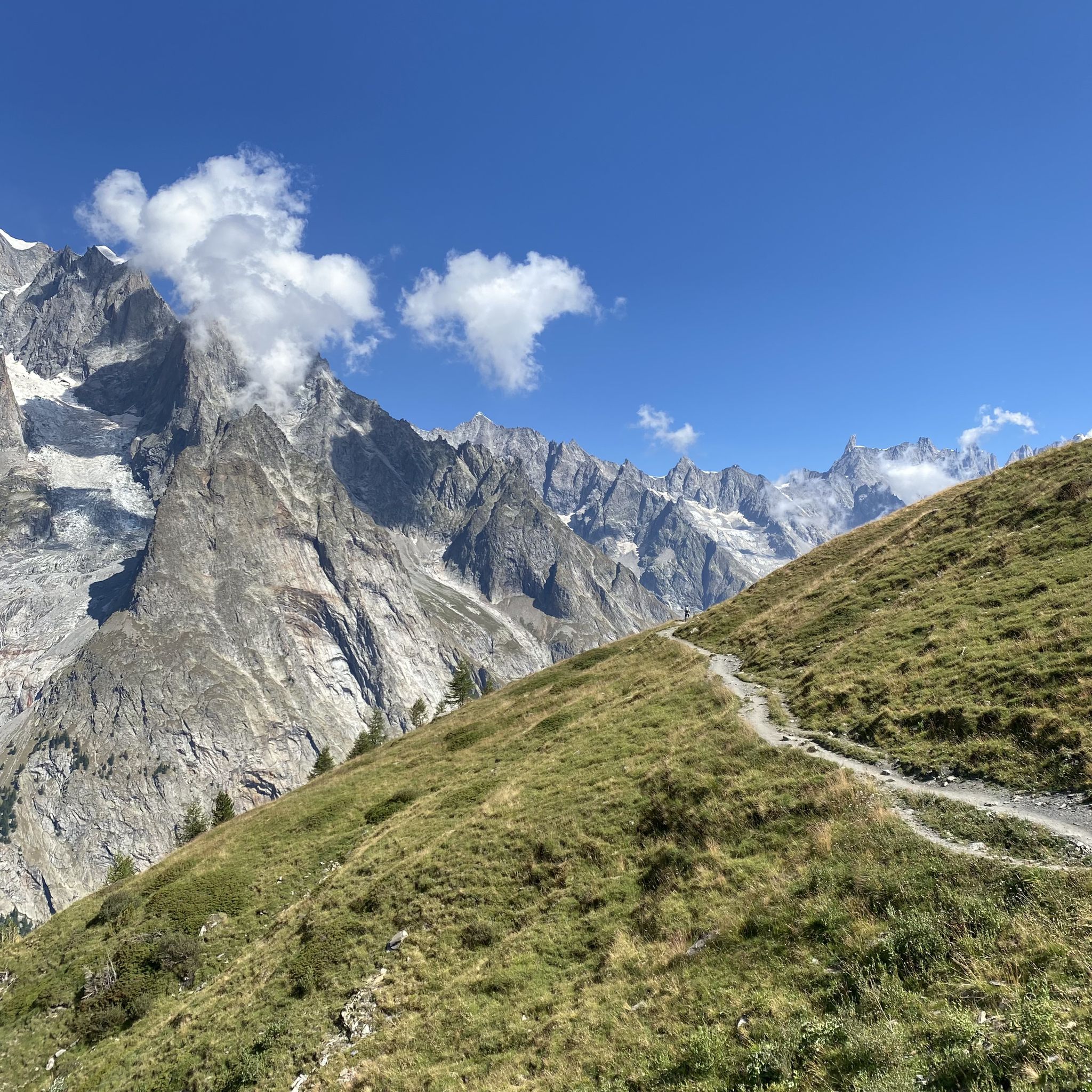
Between the glaciers of the King of the Alps – Mont Blanc MTB Tour
Other adventures around Courmayeur


Tips from the Community

Perfect spot to take advantage and have a good refuel if you are coming from the French side.
0
0

Beautiful, quiet and very panoramic path on the Grivola
0
0

Châtelard Castle consists of a medieval tower isolated on a rocky spur, with an open view of the Valdigne.
0
0

The climb in the proper sense ends at Planpincieux, from there you proceed on a long slight slope that allows you to enjoy the splendid nature of the valley and the immensity of Mont Blanc, after passing Lavachey, you regain altitude with a couple of hairpin bends and return on a slight slope that leads to Arpnouva where the road ends.
5
0
After crossing the bridge over the Dora Baltea, State Road 26 now winds along a straight stretch with almost zero gradients, the perfect place to look up and enjoy the view of the highest mountain in Europe.
6
0
A typical Aosta Valley village nestled in the mountains, a crossroads for Colle San Carlo, the Piccolo San Bernardo, and Pré-Saint-Didier. A little trivia: it was here that, at the end of the Second World War, a partisan brigade and a small republican brigade, putting aside all hatred, jointly opposed De Gaulle's attempt to annex the Aosta Valley to France.
6
0

It is located at the beginning of Val Ferrer
0
0
Frequently Asked Questions
What kind of terrain can I expect when road cycling around Courmayeur?
Courmayeur offers a diverse range of terrain for road cyclists. You'll find challenging, steep uphill climbs, particularly into the higher alpine areas, alongside flatter stretches perfect for cruising along the valley floors of Val Veny and Val Ferret. The routes often feature breathtaking views of the Mont Blanc massif and wind through pine woods and alongside the Dora Baltea River.
Are there road cycling routes suitable for beginners or those looking for an easier ride?
Yes, Courmayeur caters to various skill levels. While many routes offer significant challenges, there are also easier options. For instance, the Val Ferret Road is a moderate 20.3 km route that provides stunning views without extreme difficulty, making it a great choice for those seeking a less strenuous ride.
What are some challenging road cycling routes for experienced cyclists?
Experienced cyclists looking for a challenge will find several demanding routes. The Pré-Saint-Didier – Castello di Aymavilles loop from Courmayeur is a difficult 78.2 km path with significant elevation gain, traversing varied Aosta Valley landscapes. Another demanding option is the Pré-Saint-Didier – La Thuile loop from Entrèves, a 60.8 km trail through alpine valleys.
What kind of scenic views can I expect on road cycling routes in Courmayeur?
The region is renowned for its spectacular scenery. Cyclists can enjoy unparalleled views of the Mont Blanc Massif, including prominent peaks like Dente del Gigante and Grandes Jorasses. Routes often pass through picturesque valleys like Val Ferret and Val Veny, offering glimpses of glaciers, glacial lakes, charming hamlets, and lush pine woods. The View of the Grandes Jorasses – Val Ferret loop from Courmayeur is specifically designed to showcase these dramatic vistas.
Are there any notable landmarks or attractions I can see along the road cycling routes?
Absolutely. While cycling, you'll be surrounded by natural wonders and can often spot historical sites. The Skyway Monte Bianco offers incredible panoramic views of the Alps, and charming villages like Entrèves with traditional architecture are worth exploring. You might also pass by various mountain huts, such as Rifugio Maison Vieille, which offer places to rest and enjoy local cuisine.
What is the best time of year for road cycling in Courmayeur?
The best time for road cycling in Courmayeur is typically from late spring to early autumn (May to October). During these months, the weather is generally more stable, and mountain passes are clear of snow, offering optimal conditions for exploring the diverse terrain and enjoying the stunning alpine landscapes.
How many road cycling routes are available around Courmayeur on komoot?
There are over a dozen road cycling routes available around Courmayeur on komoot, catering to various difficulty levels. This includes 2 easy routes, 7 moderate routes, and 3 difficult routes, ensuring options for every type of cyclist.
What do other cyclists say about road cycling in Courmayeur?
The road cycling routes around Courmayeur are highly rated by the komoot community, with an average score of 4.5 stars from over 140 reviews. Cyclists often praise the breathtaking alpine scenery, the variety of terrain from challenging climbs to scenic valley rides, and the well-maintained paths that offer an exceptional outdoor experience.
Are there any circular road cycling routes in the area?
Yes, many of the road cycling routes around Courmayeur are designed as loops, allowing you to start and finish in the same location. Examples include the difficult Pré-Saint-Didier – Castello di Aymavilles loop from Courmayeur and the moderate Pré-Saint-Didier – Courmayeur loop from Entrèves, which offer diverse scenery on a single ride.
Can I find places to stop for coffee or food along the road cycling routes?
Yes, the Courmayeur region is dotted with charming villages and mountain huts (rifugios) that provide excellent opportunities for rest stops. You'll find cafes and restaurants in towns like Courmayeur and Entrèves, and many routes pass by rifugios such as Walter Bonatti Hut or Rifugio Giorgio Bertone, where you can enjoy traditional meals and refreshments with stunning views.
Are there options for long-distance road cycling tours from Courmayeur?
For those seeking longer distances, Courmayeur serves as an excellent base. A classic route like Courmayeur-Aosta-Courmayeur spans approximately 70 km, offering a chance to explore the history of the Aosta Valley. The difficult Pré-Saint-Didier – Castello di Aymavilles loop from Courmayeur also provides a substantial ride of over 78 km.
Most popular routes around Courmayeur
Most popular attractions around Courmayeur

Get inspired with the komoot mobile app


Explore more
Browse the best Road cycling routes in other regions.
