The best walks and hikes around Sesto Calende
4.2
(218)
1,248
hikers
54
hikes
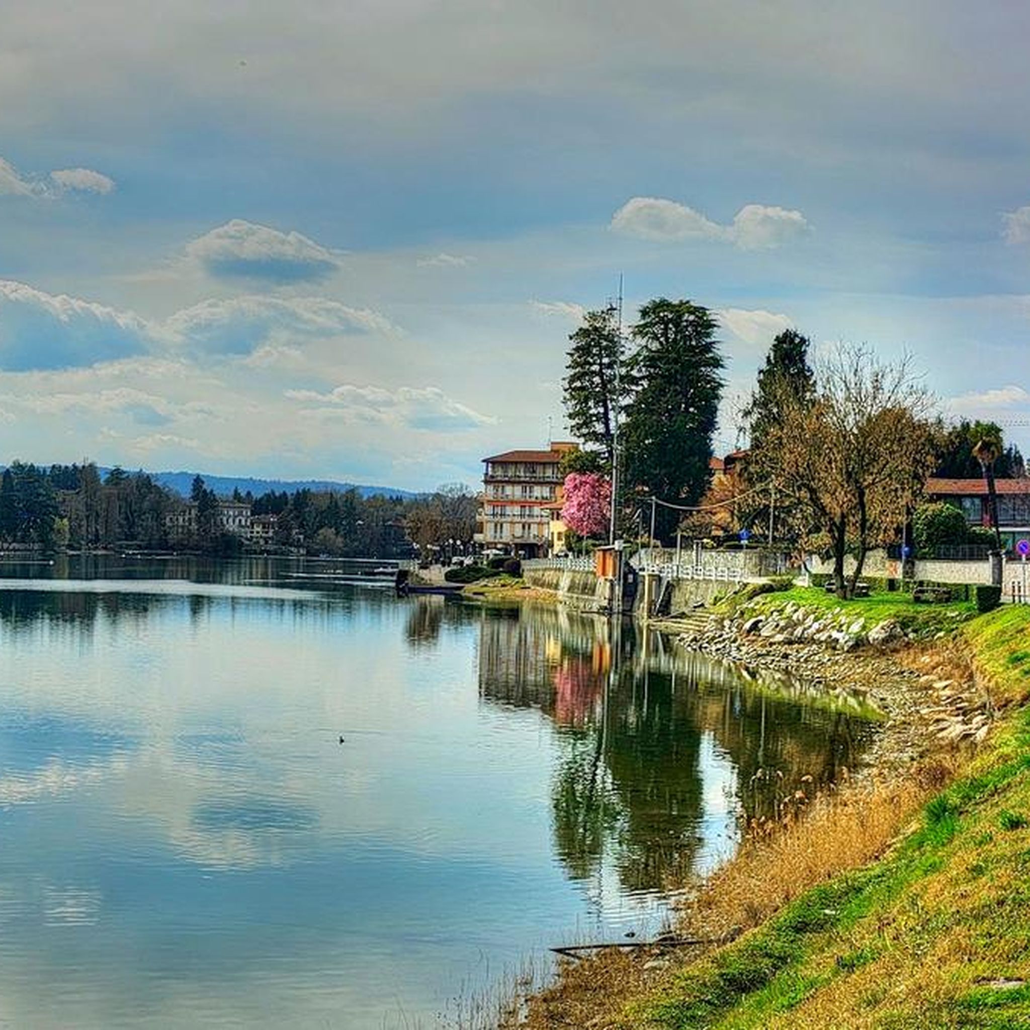
Hiking around Sesto Calende offers diverse landscapes at the southern tip of Lake Maggiore, where the Ticino River begins. The region is characterized by a verdant amphitheatre of moraines, rolling hills, and an integral part of the Ticino Valley Regional Park. Hikers can explore a mosaic of environments including lakes, rivers, streams, and various forests, with distant views of Monte Rosa. This natural setting provides a rich habitat for diverse plant and animal species.
Best hiking trails around Sesto Calende
- The most popular hiking route is Lago di Comabbio Footbridge – Walkway along Lake Comabbio loop from Mercallo, a 10.3 miles (16.6 km) trail that takes 4 hours 23 minutes to complete. This moderate route winds along the shores of Lake Comabbio.
- Another top favourite among local hikers is From Cocquo along the Hidden Wonders Trail – loop tour, an easy 4.3 miles (6.97 km) path. This trail offers an easy walk through varied landscapes, often completed in about 1 hour 57 minutes.
- Local hikers also love the Anello delle castagne (Chestnut Loop), a 7.9 miles (12.8 km) trail leading through chestnut forests, often completed in about 3 hours 39 minutes. This moderate route provides views of Lake Maggiore.
- Hiking around Sesto Calende is defined by moraine hills, the Ticino River, Lake Maggiore, and diverse woodlands. The network offers options for various ability levels, from easy strolls to more challenging treks.
- The routes in Sesto Calende are highly rated by the komoot community with an average score of 4.2 stars from over 600 reviews. More than 2900 hikers have used komoot to explore Sesto Calende's varied terrain.
Last updated: August 30, 2026
3.6
(12)
29
hikers
6.97km
01:57
130m
120m
Easy hike. Great for any fitness level. Easily-accessible paths. Suitable for all skill levels.
4.5
(8)
33
hikers
12.8km
03:39
280m
280m
Moderate hike. Good fitness required. Easily-accessible paths. Suitable for all skill levels.

Sign up for free
5.0
(4)
12
hikers
15.1km
04:12
280m
280m
Moderate hike. Good fitness required. Easily-accessible paths. Suitable for all skill levels.
4.2
(6)
143
hikers
6.47km
01:39
20m
20m
Easy hike. Great for any fitness level. Easily-accessible paths. Suitable for all skill levels.
4.0
(15)
34
hikers
Moderate hike. Good fitness required. Easily-accessible paths. Suitable for all skill levels.
Get access to more routes and recommendations from other explorers.
Sign up for free
Already have an account?
Our route recommendations are based on thousands of hikes, rides, and runs completed by other people on komoot.
Start today with a free account
Your next adventure awaits.
Login or Signup
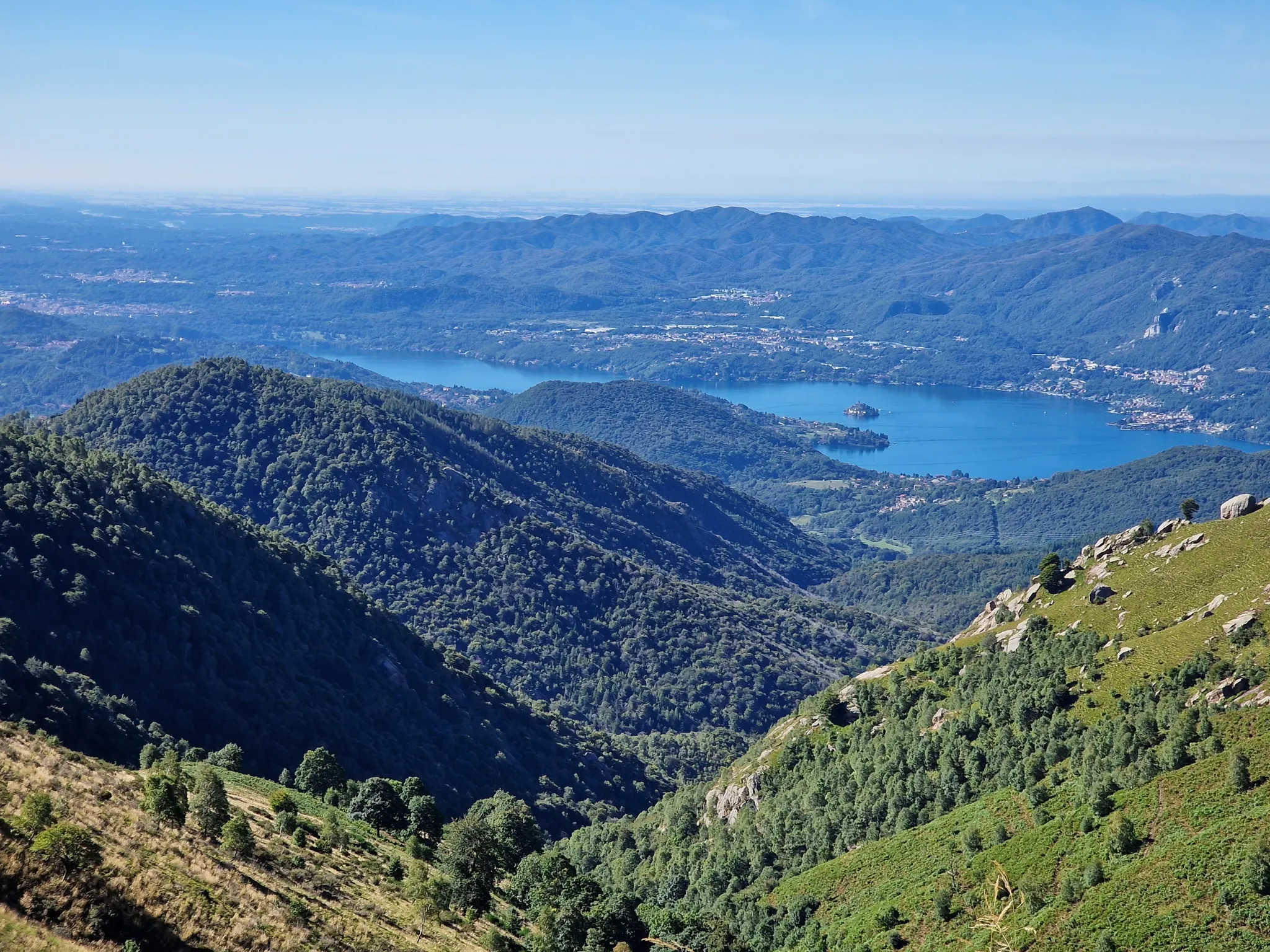
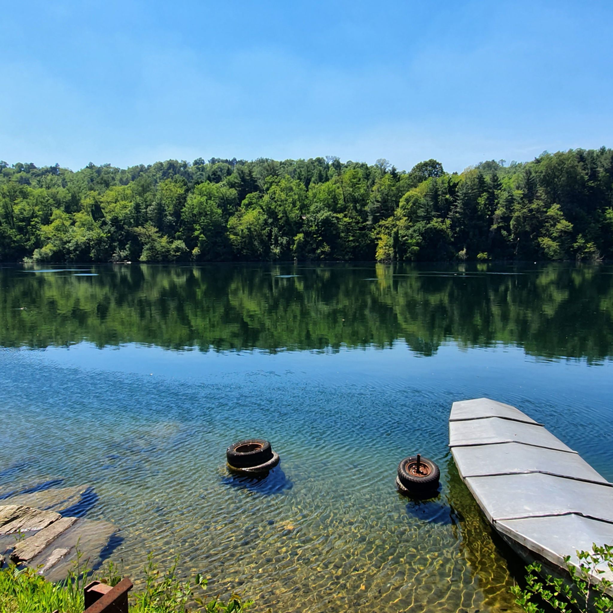
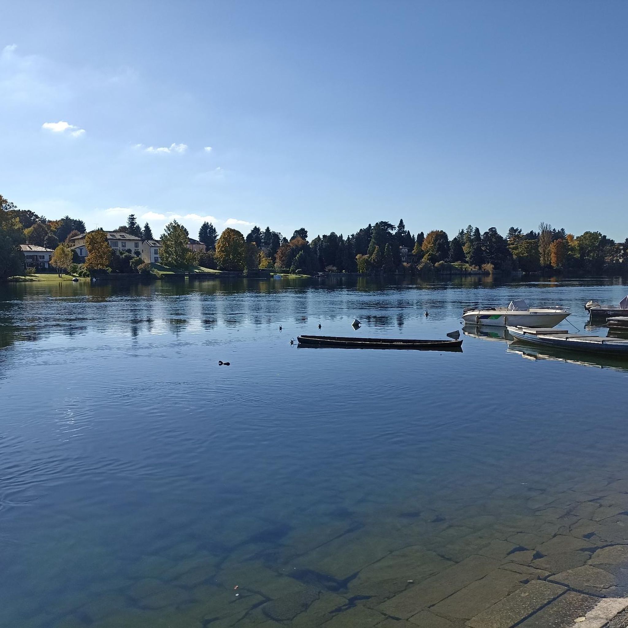
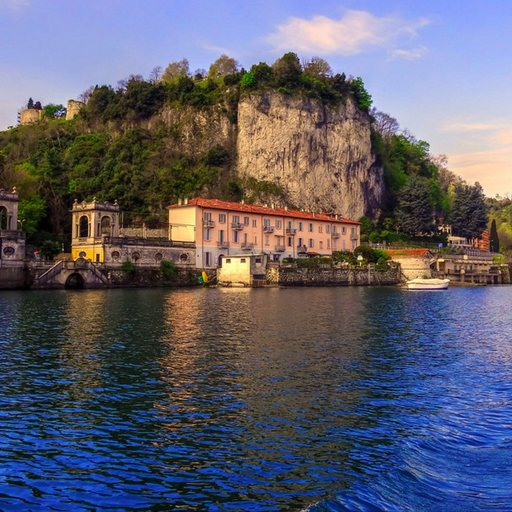

Other adventures around Sesto Calende

Tips from the Community

The Ticino river cycle path offers one of the most evocative panoramic points to admire Sesto Calende, the river waters, and the majestic Monte Rosa chain in the background
0
0


Pond where the (hidden) frogs make a lot of noise with their croaking: there must be loads of them!
0
0

Completed the circuit on 5-1-24, part of the track is difficult to walk due to the vegetation that has grown along the path (after point 7, in a marshy area). It should probably be updated with an alternative path.
0
0

An ice cream or a beer at the end of the bibi ride is not to be missed
0
0

the cycle path on Lake Comabbio is very beautiful, at the beginning of the tour from Somma Lombardo you are in the middle of the mega traffic of the SS33, otherwise it is quite quiet and acceptable.
3
0

A nice place with friends.
0
4
Frequently Asked Questions
How many hiking trails are available around Sesto Calende?
There are over 55 hiking routes in the Sesto Calende area, catering to various skill levels. You'll find a good mix of easy strolls, moderate treks, and even some more challenging paths to explore the diverse landscapes.
What kind of landscapes can I expect to see while hiking in Sesto Calende?
The Sesto Calende region offers a rich variety of landscapes. You'll hike through a 'verdant amphitheatre' of moraines, along the shores of Lake Maggiore and other nearby lakes like Comabbio, and beside the Ticino River. The area is part of the Ticino Valley Regional Park, a UNESCO biosphere reserve, featuring streams, coniferous forests, heathlands, and wetlands. You can also enjoy distant views of the majestic Monte Rosa on clearer days.
Are there any easy or beginner-friendly hiking trails in Sesto Calende?
Yes, Sesto Calende has plenty of easy options, with 33 routes rated as easy. A great choice for beginners or a relaxed walk is the From Cocquo along the Hidden Wonders Trail – loop tour, which is about 7 km long and takes less than two hours to complete.
What are some notable landmarks or points of interest to see along the trails?
Beyond the natural beauty, you can discover historical and cultural points of interest. Consider visiting the Romanesque Visconti Castle of San Vito or the impressive Rocca di Angera. The area also features the ancient 'Sass de Preja Büja,' a large erratic boulder with engravings, and the 9th-century Abbazia di San Donato with its medieval frescoes.
Are there any circular hiking routes in the Sesto Calende area?
Yes, many of the trails in Sesto Calende are circular, offering convenient loop options. A popular moderate circular route is the Anello delle castagne (Chestnut Loop), which is about 12.8 km long and takes you through beautiful chestnut forests with views of Lake Maggiore.
What do other hikers say about the trails in Sesto Calende?
The trails around Sesto Calende are highly regarded by the komoot community, holding an average rating of 4.2 stars from over 600 reviews. Hikers frequently praise the diverse scenery, from lake and river views to tranquil woodlands, and appreciate the well-maintained paths suitable for various abilities.
Can I bring my dog on the hiking trails in Sesto Calende?
Many trails in the Sesto Calende area, particularly those within the Ticino Valley Regional Park, are dog-friendly. It's always recommended to keep your dog on a leash, especially in areas with wildlife or near agricultural land, and to check specific trail regulations before you go.
What is the best time of year to go hiking in Sesto Calende?
The spring and autumn months are generally ideal for hiking in Sesto Calende, offering pleasant temperatures and vibrant natural colors. Spring brings blooming flora, while autumn showcases stunning foliage. Summer can be warm, but riverside and lakeside trails provide refreshing breezes. Winter hiking is also possible, especially on lower elevation paths, offering a different, quieter perspective of the landscape.
Are there any trails with good viewpoints of Monte Rosa or the lakes?
Absolutely. The region's moraine hills and position at the southern tip of Lake Maggiore provide excellent vantage points. The Anello delle castagne (Chestnut Loop) offers views of Lake Maggiore, and some routes, like the View of Monte Rosa – Map of Sesto Calende loop from Golasecca, are specifically known for their distant panoramas of Monte Rosa.
How can I access the hiking trails using public transport?
Sesto Calende is well-connected by public transport, making many trailheads accessible. The town has a train station, and local bus services can take you to various starting points around Lake Maggiore and the surrounding areas. It's advisable to check local timetables for the most up-to-date information on routes and schedules to plan your hike.
Are there any longer, more challenging hikes for experienced trekkers?
While the majority of routes are easy to moderate, there is one route classified as difficult among the 55 available. Additionally, the broader Ticino Valley Regional Park and nearby areas like the Parco Nazionale Valgrande offer more strenuous sections for experienced hikers seeking longer distances and greater elevation changes.
Where can I find parking for hiking trails in Sesto Calende?
Parking is generally available in and around Sesto Calende, particularly near popular trailheads and in the town center. Many routes start from villages or designated parking areas. It's recommended to check specific route descriptions on komoot for details on parking availability at the start of your chosen trail.
Most popular routes around Sesto Calende
Most popular attractions around Sesto Calende

Get inspired with the komoot mobile app


Explore more
Browse the best Hikes in other regions.
