The best road cycling routes around Trockenborn-Wolfersdorf
4.6
(232)
3,798
riders
207
rides
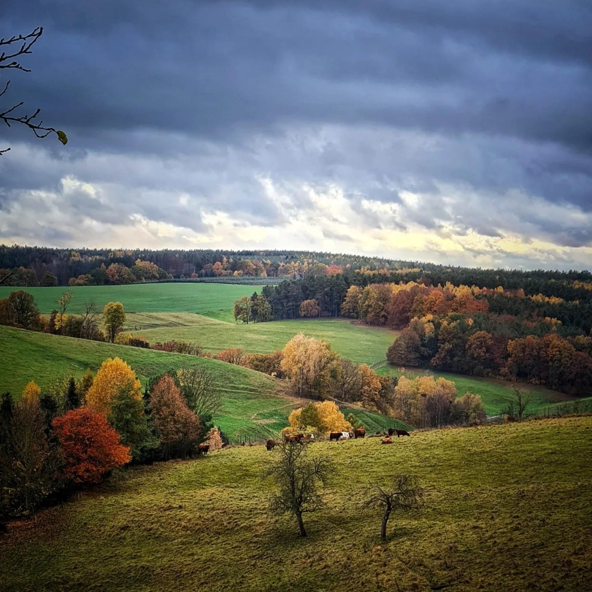
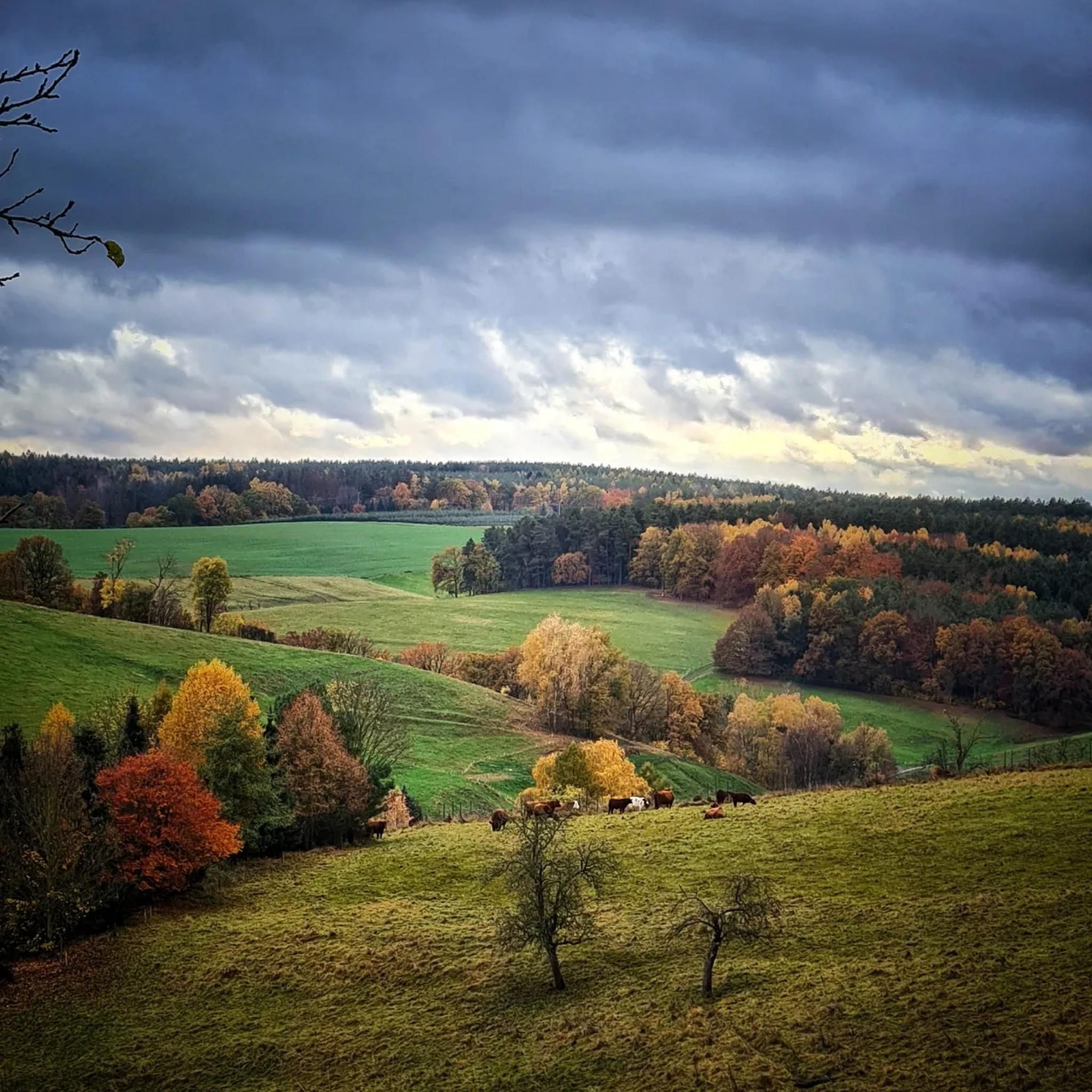
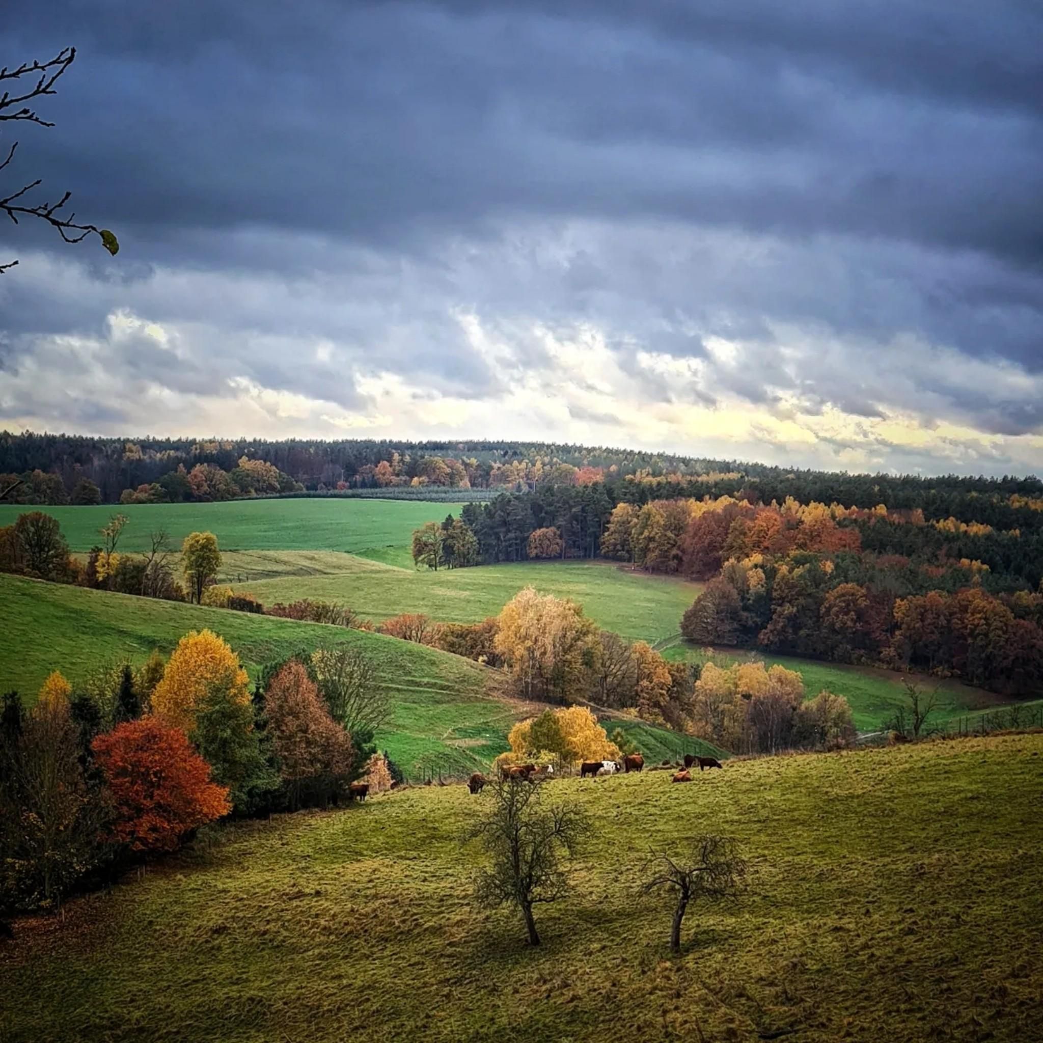
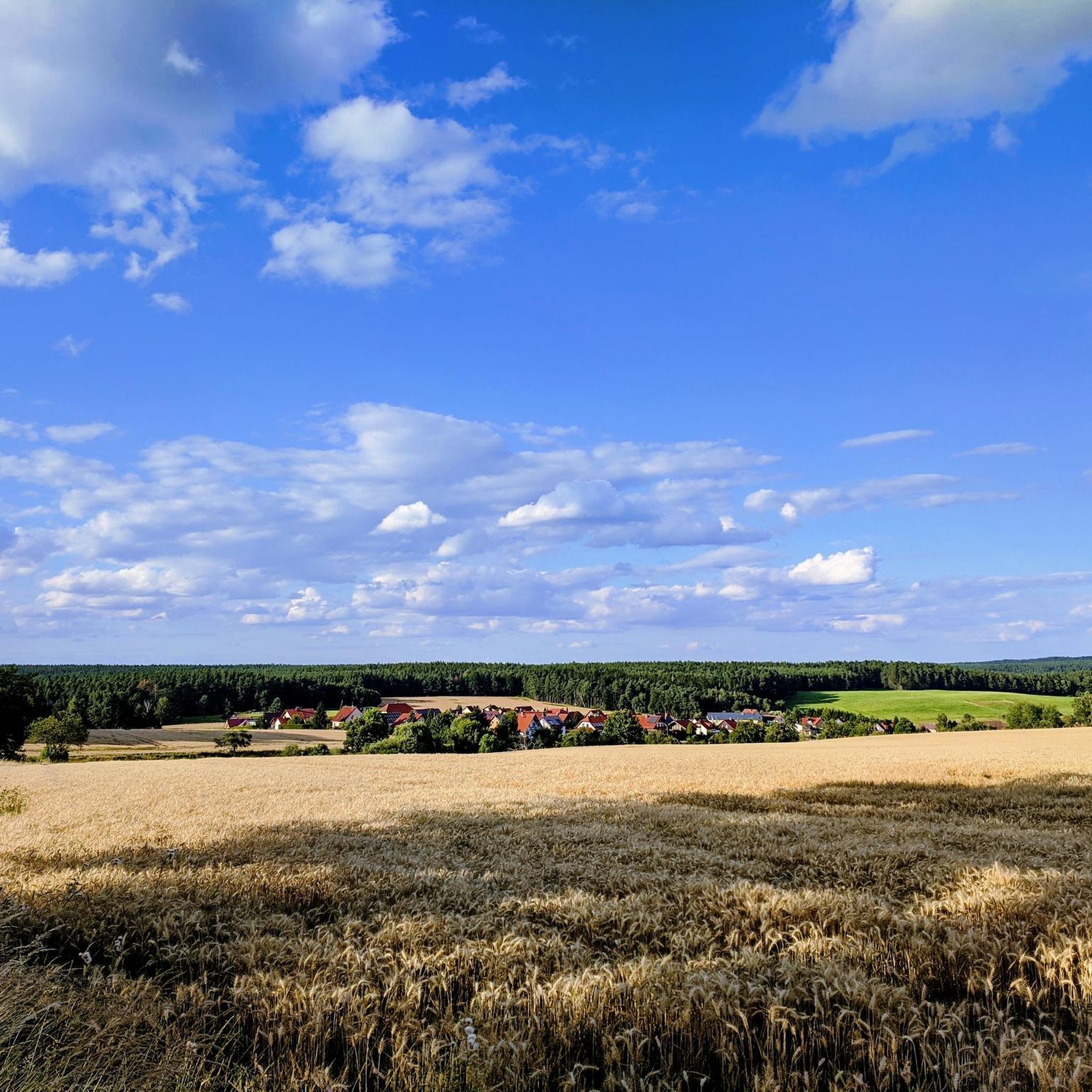
Road cycling routes around Trockenborn-Wolfersdorf traverse a landscape characterized by rolling hills, dense forests, and varied terrain, situated uniquely between four valleys. The region features winding forest paths, alternating meadows, and fields, with a mix of ascents and descents. This topography provides diverse conditions for road cyclists, from gentle stretches to more challenging climbs.
Best road cycling routes around Trockenborn-Wolfersdorf
- The most popular road cycling route is View of the Saale Valley – Leuchtenburg loop from Trockenborn-Wolfersdorf, a 40.9…
Last updated: July 12, 2026
4.4
(9)
264
riders
65.9km
03:03
800m
800m
Moderate road ride. Good fitness required. Mostly well-paved surfaces and easy to ride.
4.7
(6)
142
riders
68.9km
03:01
510m
510m
Moderate road ride. Good fitness required. Some segments of this route may be unpaved and difficult to ride.

Sign up for free
3.8
(6)
138
riders
64.9km
02:46
330m
330m
Moderate road ride. Good fitness required. Some segments of this route may be unpaved and difficult to ride.
5.0
(6)
64
riders
65.1km
02:59
640m
640m
Moderate road ride. Good fitness required. Mostly well-paved surfaces and easy to ride.
5.0
(4)
46
riders
59.7km
02:38
450m
450m
Hard road ride. Good fitness required. You may need to push your bike for some segments of this route.
Get access to more routes and recommendations from other explorers.
Sign up for free
Already have an account?
Our route recommendations are based on thousands of hikes, rides, and runs completed by other people on komoot.
Start today with a free account
Your next adventure awaits.
Login or Signup
Tips from the Community

A very quiet cycle path with great views. 😁
0
0

As in many places, there is also a fantastic view down into the valley here.
0
0


Definitely worth a detour if you're in the area. On our checkpoint tour, we had to climb up to the castle after 200 km, which was quite a challenge. Highly recommended!
0
0


Transfer to the right. Exit is great, but re-entry is a bit more challenging.
0
0

Sit down and enjoy a delicious ice cream 😌
0
0

The bridge book is located in the front part of the Carl-Alexander Bridge.
11
0
Frequently Asked Questions
How many road cycling routes are available around Trockenborn-Wolfersdorf?
There are over 200 road cycling routes around Trockenborn-Wolfersdorf, offering a wide range of options for different skill levels. The komoot community has explored more than 3,700 of these routes.
What kind of terrain can I expect when road cycling in Trockenborn-Wolfersdorf?
The region is characterized by rolling hills, dense forests, and picturesque river valleys. You'll encounter varied terrain with winding forest paths, alternating meadows, and fields, featuring a mix of ascents and descents. This 'bergauf, bergab' nature makes it attractive for cyclists seeking both challenging and rewarding rides.
Are there any challenging road cycling routes in the area?
Yes, Trockenborn-Wolfersdorf offers routes for various difficulty levels, including challenging options. For instance, the Where the Orla flows into the Saale – Weißenburg Castle loop from Kahla (Thür) is a difficult route covering 59.1 km with significant elevation changes.
What are some scenic landmarks I can see along the road cycling routes?
Many routes offer views of historical and natural landmarks. You might pass by the impressive Leuchtenburg Castle, the unique Duke's Seat, or the Oppurg Castle. The region is also rich in natural beauty, including the Rotehofbachtal valley and numerous streams and ponds.
Are there any circular road cycling routes available?
Yes, many routes are designed as loops, allowing you to start and end in the same location. Examples include the View of the Saale Valley – Leuchtenburg loop from Trockenborn-Wolfersdorf and the Wolfersdorf Castle – Orlatal Valley loop from Neustadt (Orla).
What do other road cyclists say about the routes in Trockenborn-Wolfersdorf?
The road cycling routes in Trockenborn-Wolfersdorf are highly rated by the komoot community, with an average score of 4.5 stars from over 200 reviews. Cyclists often praise the varied terrain, scenic views, and the combination of quiet forest roads and charming village connectors.
Can I find routes that pass through valleys or along rivers?
Absolutely. The region is situated between four valleys and features picturesque rivers. Routes often traverse areas like the Orlatal Valley, as seen in the Oppurg Castle – Orlatal Valley loop from Kahla (Thür), and offer views of the Saale Valley.
Are there any routes that offer views of castles?
Yes, several routes provide excellent opportunities to see historical castles. The View of the Dornburg Castles – Kunitz House Bridge loop from Kahla (Thür) offers views of the Dornburg Castles, and the View of the Saale Valley – Leuchtenburg loop from Trockenborn-Wolfersdorf passes by the historic Leuchtenburg.
What is the best time of year for road cycling in Trockenborn-Wolfersdorf?
The region's varied landscape with dense woods and open fields makes it enjoyable for road cycling through much of the year. Spring and autumn offer pleasant temperatures and beautiful scenery, while summer provides longer daylight hours. Always check local weather conditions before heading out.
Are there any natural protected areas that road cycling routes pass through?
Yes, the Rotehofbachtal valley, a significant natural highlight, is designated as a landscape conservation area and an FFH (Flora-Fauna-Habitat) protected area. Some routes may offer glimpses or pass near such ecologically important zones, allowing you to experience the region's rich biodiversity.
What is the typical length and duration of road cycling routes in this area?
The routes vary in length and duration, catering to different preferences. Many popular routes are moderate, ranging from approximately 60 to 70 kilometers and taking around 2.5 to 3 hours to complete. For example, the View of the Saale Valley – Leuchtenburg loop from Trockenborn-Wolfersdorf is 65.9 km and takes about 3 hours 3 minutes.
Most popular routes around Trockenborn-Wolfersdorf
Most popular attractions around Trockenborn-Wolfersdorf

Get inspired with the komoot mobile app


Explore more
Browse the best Road cycling routes in other regions.
