The best road cycling routes around Sedriano
4.1
(678)
16,980
riders
430
rides
Road cycling routes around Sedriano are characterized by the flat, fertile plains of Italy's Lombardy region. The area features extensive agricultural landscapes and a network of accessible canal-side paths, including those along the Olona Diversion Canal and the Villoresi Canal. These routes offer minimal elevation gain, making them suitable for various skill levels. Sedriano's proximity to the Parco Agricolo Sud Milano and the Ticino River further enhances the scenic diversity for road cyclists.
Best road cycling routes around Sedriano
- The…
Last updated: June 29, 2026
4.1
(22)
684
riders
Moderate road ride. Good fitness required. Mostly well-paved surfaces and easy to ride.
57
riders
145km
06:13
1,130m
1,130m
Hard road ride. Very good fitness required. Some segments of this route may be unpaved and difficult to ride.

Sign up for free
38
riders
89.4km
03:40
420m
420m
Moderate road ride. Good fitness required. Some segments of this route may be unpaved and difficult to ride.
5.0
(1)
30
riders
82.0km
03:11
160m
160m
Moderate road ride. Good fitness required. Mostly well-paved surfaces and easy to ride.
19
riders
85.3km
03:50
230m
220m
Moderate road ride. Good fitness required. Some segments of this route may be unpaved and difficult to ride.
Get access to more routes and recommendations from other explorers.
Sign up for free
Already have an account?
Our route recommendations are based on thousands of hikes, rides, and runs completed by other people on komoot.
Start today with a free account
Your next adventure awaits.
Login or Signup


Tips from the Community

The Castle of Somma Lombardo, officially known as Castello Visconti di San Vito, is a magnificent 13th-century fortress located in the province of Varese, a short distance from Milan Malpensa Airport.
0
0
The Valle Olona offers a cycle and pedestrian path of about 50 km that develops mainly on flat ground along the river. However, for those who love a challenge, the surrounding hills offer climbs and descents with challenging gradients of up to 10%.
0
0
The Bridge of Cassinetta di Lugagnano is one of the most characteristic and historically significant monuments located along the Naviglio Grande, in the metropolitan city of Milan. Originally built of granite, the structure dates back to the 17th century, erected during the Spanish rule of the Duchy of Milan to connect the two historic centers divided by the canal. The bridge historically unites Lugagnano (on the right bank, of Roman origin) and Cassinetta (on the left bank, of medieval design). The bridge was completely rebuilt in a donkey-back shape in May 1862. This intervention became necessary both to repair the damage from the wars of independence (such as the nearby Battle of Magenta in 1859) and to facilitate the transit of commercial barges on the Naviglio.
0
0
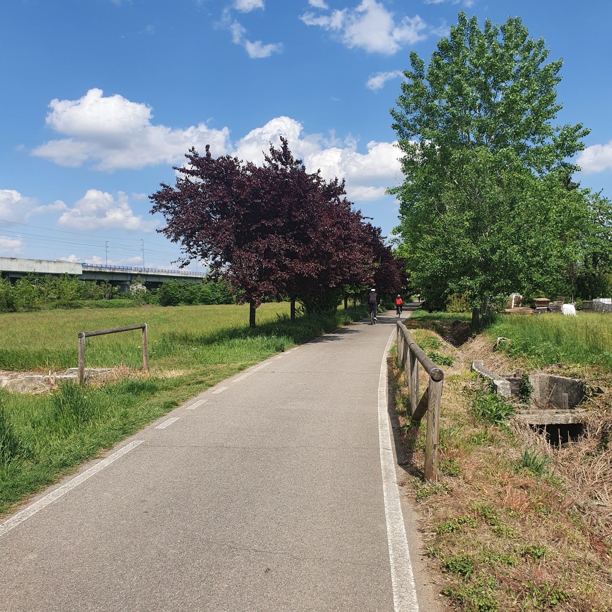
The High-Speed Cycle Path (T.A.V.) is a route of about 26 km that runs parallel to the Milan-Turin railway line. In Boffalora sopra Ticino, the path ends (or begins) on the bridge over the Naviglio Grande, connecting directly to the cycle route of the Naviglio itself.
0
0

L'Alzaia del Naviglio di Bereguardo is the historic towpath, today transformed into a splendid cycle-pedestrian path of about 19 kilometers, which runs along the artificial canal of the same name. It connects Castelletto di Abbiategrasso (where the canal originates, branching off from the Naviglio Grande) to the municipality of Bereguardo, finally flowing into the Ticino river. Built in the 15th century at the behest of the Dukes of Milan (the Visconti first, then the Sforza), the canal served as a fundamental commercial route (particularly for salt and cheeses) to connect the city to the Po river and the sea.
1
0

Splendid little town on the Piedmontese side of Lake Maggiore.
0
0
Another great hydraulic dam work on the Ticino
0
0
The Naviglio di Bereguardo is a historic artificial canal in Lombardy, 18.85 kilometers long, which originates from the Naviglio Grande in Castelletto di Abbiategrasso and ends in Bereguardo, a short distance from the Ticino river.
1
0
Frequently Asked Questions
What kind of terrain can I expect on road cycling routes around Sedriano?
Road cycling routes around Sedriano are predominantly flat, situated within the fertile plains of Italy's Lombardy region. You'll encounter extensive agricultural landscapes and well-maintained canal-side paths, particularly along the Olona Diversion Canal and the Villoresi Canal. This flat topography means minimal elevation gain, making it suitable for various skill levels.
How many road cycling routes are available in the Sedriano area?
There are over 460 road cycling routes available around Sedriano, offering a wide variety of options for cyclists. This includes nearly 200 easy routes, over 250 moderate routes, and a selection of more challenging rides.
Are there any easy road cycling routes suitable for beginners or relaxed rides?
Yes, Sedriano offers numerous easy road cycling routes. For a relaxed ride through agricultural scenery, consider the Cascina Belgioiosello – Menedrago Pond loop from Vittuone-Arluno, an easy 38.4 km path with minimal elevation changes. The canal-side paths are also generally very flat and tranquil.
What are the options for longer or more challenging road cycling routes near Sedriano?
For those seeking a longer and more challenging ride, the Sedriano area provides options like the Castelnovate power plant – Arona on Lake Maggiore loop from Vittuone-Arluno. This difficult route spans nearly 145 km and offers a significant long-distance journey towards Lake Maggiore.
Can I find routes that follow canals or rivers in Sedriano?
Absolutely. Sedriano is known for its accessible canal-side paths, especially along the Olona Diversion Canal and the Villoresi Canal. These paths offer tranquil, mostly paved surfaces ideal for road cycling. The Binda Bike Bar – Daniel Bridge over the Ticino loop from Vittuone-Arluno also leads through the Ticino River area, providing scenic views along the water.
What kind of natural features or landmarks can I see while cycling around Sedriano?
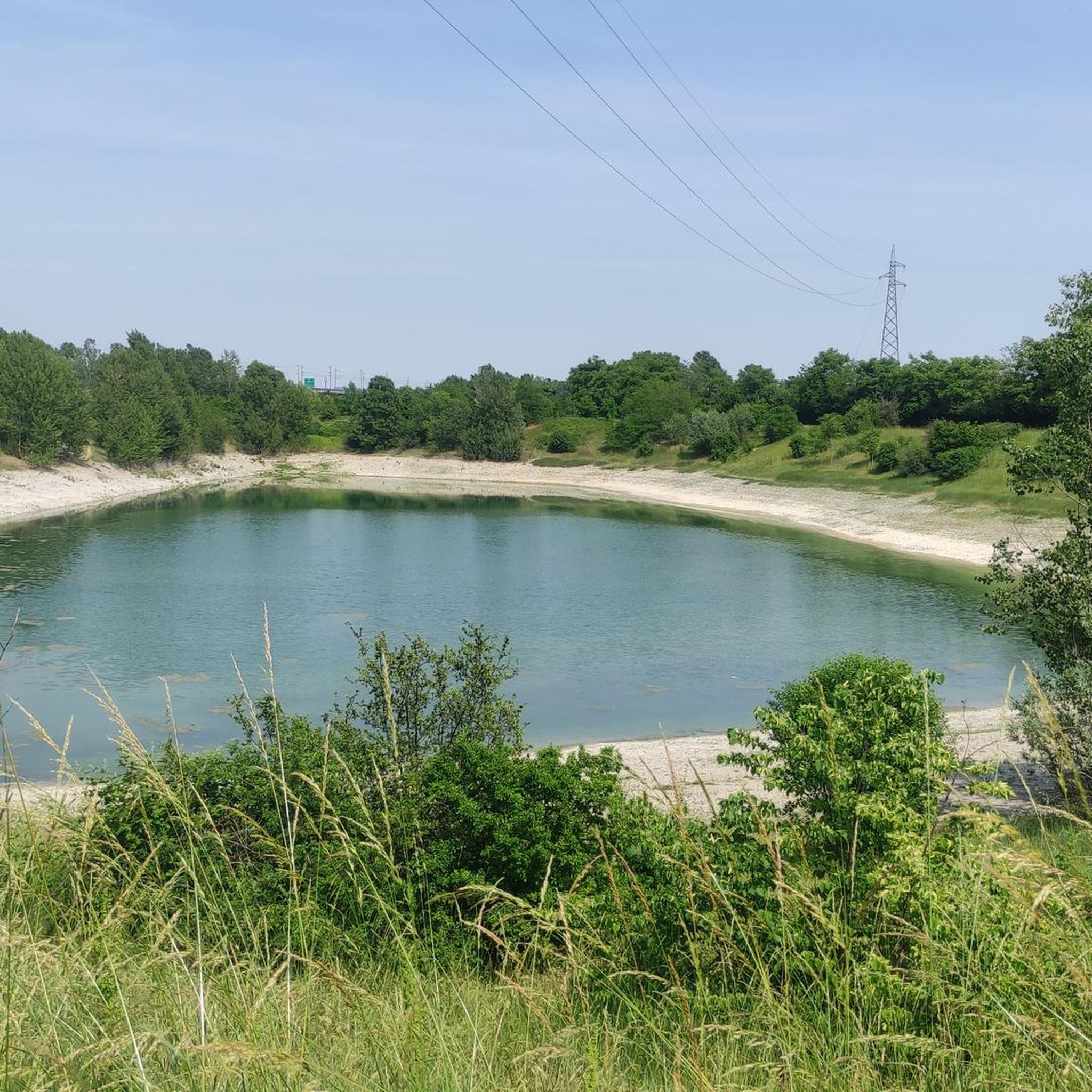
While cycling around Sedriano, you can explore the agricultural landscapes of the Parco Agricolo Sud Milano. Notable natural features and landmarks include the Lake of Parco delle Cave, Rosa Camuna Pond, and the La Foppa Wetland (San Vittore Olona). You might also encounter the historic Gaggiano Bridge and sections of the Alzaia Naviglio Grande Cycle Path.
Are there any loop routes available for road cycling in Sedriano?
Yes, many road cycling routes around Sedriano are designed as loops, allowing you to start and end at the same point. Examples include the Cascina Belgioiosello – Menedrago Pond loop and the Menedrago Pond – Large Beech Tree Near the Highway loop, both starting from Vittuone-Arluno.
What do other cyclists say about road cycling in Sedriano?
The road cycling routes in Sedriano are highly rated by the komoot community, with an average score of 4.1 stars from over 600 reviews. Cyclists often praise the flat, tranquil paths along the canals and through the agricultural plains, making for enjoyable and accessible rides.
What is the best time of year to go road cycling in Sedriano?
Sedriano's flat terrain makes it enjoyable for road cycling across many seasons. Spring and autumn generally offer the most pleasant temperatures for longer rides. Summer can be warm, but the canal-side paths often provide some shade and a refreshing breeze. Always check local weather conditions before heading out.
Are there routes that pass through the Parco Agricolo Sud Milano?
Yes, many routes in the Sedriano area traverse the Parco Agricolo Sud Milano. This park preserves vast green spaces and traditional farming practices, offering picturesque views of fields and rural life as you cycle. The flat terrain within the park is ideal for road cycling.
Are there any routes that offer views of Lake Maggiore?
For a route that extends towards Lake Maggiore, consider the challenging Castelnovate power plant – Arona on Lake Maggiore loop from Vittuone-Arluno. This longer route provides the opportunity to cycle towards the lake, offering a different scenic experience compared to the immediate Sedriano area.
Can I find routes that are suitable for a moderate level of fitness?
Yes, a significant portion of the routes around Sedriano are classified as moderate, with over 250 options available. These routes offer a good balance of distance and manageable elevation, such as the Large Beech Tree Near the Highway – Bergoro Climb loop from Vittuone-Arluno, which covers about 89 km.
Most popular attractions around Sedriano

Get inspired with the komoot mobile app


Explore more
Browse the best Road cycling routes in other regions.
