The best walks and hikes around Aiello Calabro
4.3
(70)
262
hikers
15
hikes
Hiking around Aiello Calabro offers diverse terrain situated between mountains and the Tyrrhenian Sea. The region features hills, moderate high mountains, and a significant portion of forest cover, providing varied landscapes for exploration. Elevations range from low-lying areas to peaks like Monte Cocuzzo, the highest point of the Coastal Chain. This unique setting allows for trails that combine mountain vistas with panoramic sea views.
Best hiking trails around Aiello Calabro
- The most popular hiking route is From Casello Forestale to…
Last updated: August 31, 2026
4.5
(2)
4
hikers
16.1km
04:43
460m
460m
Moderate hike. Good fitness required. Easily-accessible paths. Suitable for all skill levels.
5.0
(1)
2
hikers
8.16km
02:54
480m
480m
Moderate hike. Good fitness required. Mostly accessible paths. Sure-footedness required.

Sign up for free
4.3
(3)
9
hikers
6.45km
01:38
10m
10m
Easy hike. Great for any fitness level. Easily-accessible paths. Suitable for all skill levels.
2
hikers
8.37km
02:15
100m
100m
Moderate hike. Good fitness required. Easily-accessible paths. Suitable for all skill levels.
4.3
(3)
8
hikers
6.98km
01:46
10m
10m
Easy hike. Great for any fitness level. Easily-accessible paths. Suitable for all skill levels.
Get access to more routes and recommendations from other explorers.
Sign up for free
Already have an account?
Our route recommendations are based on thousands of hikes, rides, and runs completed by other people on komoot.
Start today with a free account
Your next adventure awaits.
Login or Signup

Tips from the Community

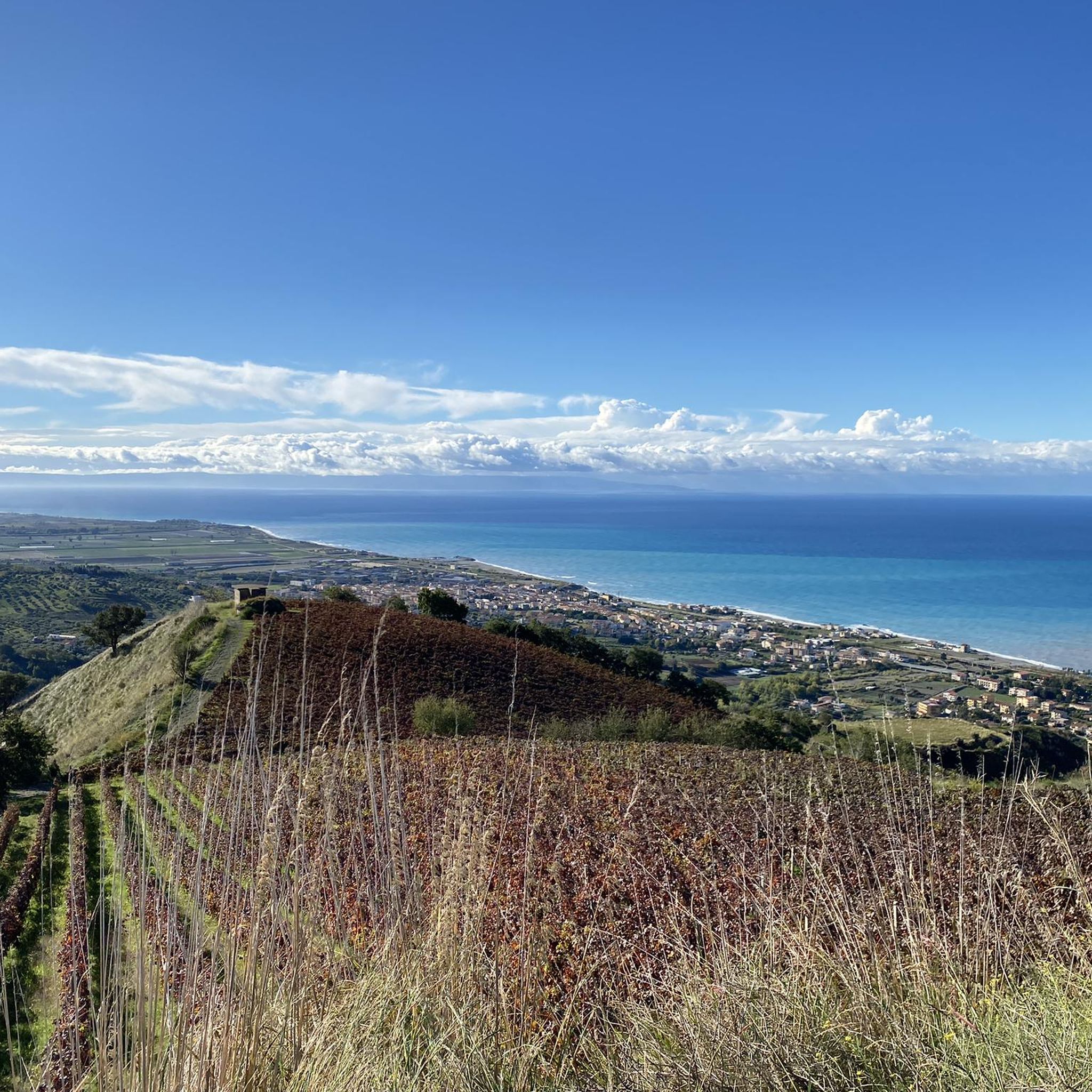
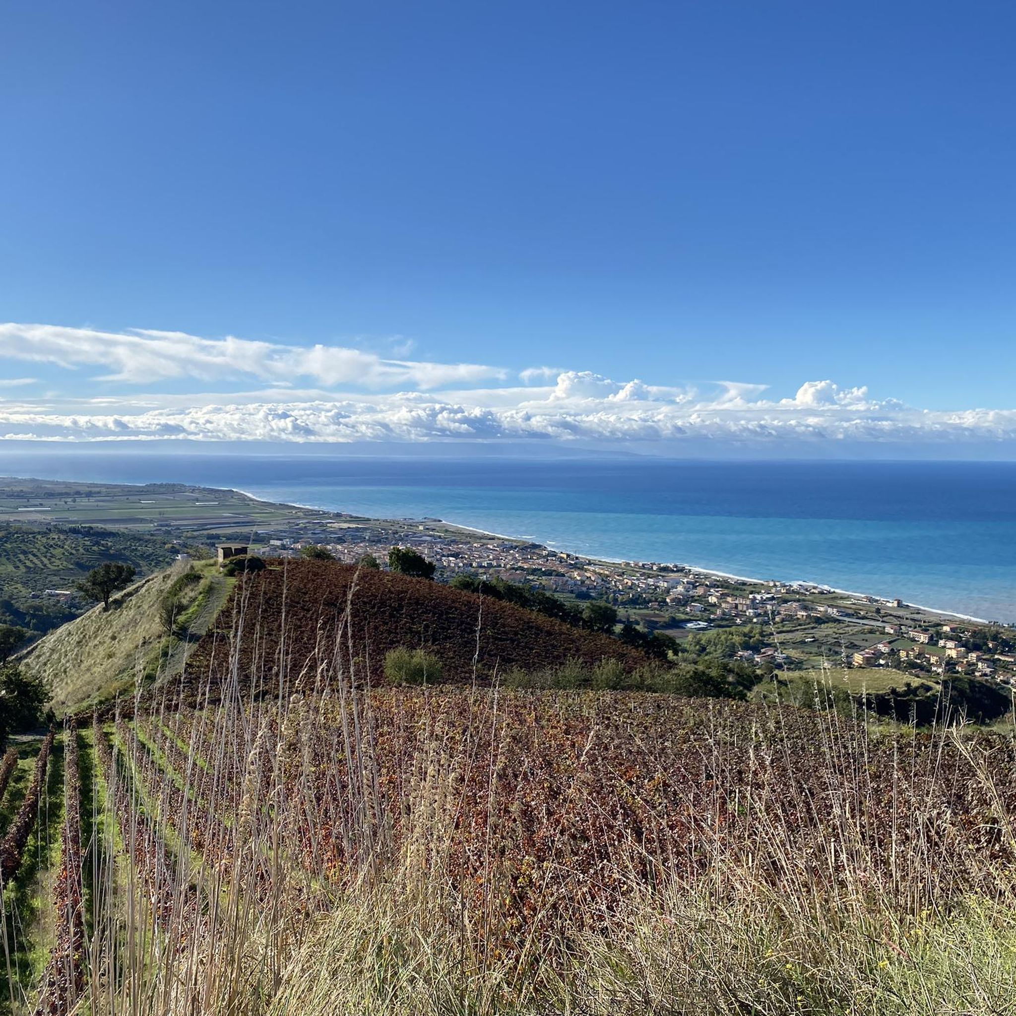
A beautiful stretch of seafront between Amantea and the hamlet of Campora San Giovanni. Not only does it avoid the SS18, but it also offers a splendid view of the magnificent Tyrrhenian Sea along the entire route.
1
0
Amantea is a picturesque town located on the Tyrrhenian coast of Calabria. Famous for its splendid beaches, the historic center rich in history and the fortress that dominates the city from above. In addition to natural and architectural beauty, Amantea offers a wide range of local culinary specialties
2
0

The tower of Bastia was a tower built in the 16th century and then destroyed in 1930, however today in its place stands the monument to Michele Bianchi.
3
0
Amantea is a municipality that in certain areas reaches up to 439 meters in height. There are various buildings of interest, including the Convent of San Bernardino da Siena, the Palazzo delle Clarisse, and the Amantea Castle.
2
0

Not just a beautiful place during the day ... Also perfect for the sunset in Calabro Belmonte ... freely accessible without opening times ... 🌅🥂📸
2
0
Frequently Asked Questions
How many hiking trails are available around Aiello Calabro?
There are over 10 hiking trails around Aiello Calabro, offering a variety of experiences. The komoot community has explored these routes more than 190 times, with an average rating of 4.2 stars.
What kind of terrain can I expect on hikes in Aiello Calabro?
Hiking in Aiello Calabro features diverse terrain, ranging from hills to moderate high mountains. You'll find extensive forest cover, especially around areas like the Savuto Valley, and trails that offer significant elevation changes, providing both challenging climbs and panoramic views.
Are there any easy hiking trails suitable for beginners in Aiello Calabro?
Yes, there are a couple of easier routes. For instance, the Amantea – View of Amantea loop from Amantea is a moderate 8.4 km hike with less elevation gain, making it a good option for those seeking a less strenuous experience.
What are the best trails for panoramic views of the sea or mountains?
Many trails in Aiello Calabro offer stunning panoramic views due to its strategic position between mountains and the Tyrrhenian Sea. Routes leading towards Monte Cocuzzo, the highest peak of the Coastal Chain, provide expansive vistas. From locations like Serre, along trails near Vivaio Tardo, you can often see both Monte S. Lucerna, the Savuto valley, and the Tyrrhenian Sea.
Are there any circular hiking routes in the area?
Yes, several circular routes are available. A popular choice is the Monte Reventino Loop, which is a moderate 10.9 km path winding through varied terrain. Another option is the Amantea - ring tour, a 16.1 km trail through coastal hills.
What natural features or landmarks can I expect to see on a hike?
Hikers can encounter a variety of natural features and historical landmarks. You might pass through lush forests, discover water sources like the ferrous spring near Vivaio Tardo, and enjoy views of prominent peaks such as Monte Cocuzzo. Some trails also offer glimpses of ancient architecture, including the ruins of the Byzantine castle in Aiello Calabro's historic center.
Are there any dog-friendly hiking trails in Aiello Calabro?
While specific trails aren't explicitly designated as 'dog-friendly' in the data, the natural environment of Aiello Calabro with its extensive forests and varied terrain generally welcomes dogs. It's always advisable to keep dogs on a leash, especially in protected areas or near livestock, and to carry water for them.
What is the typical duration for hikes around Aiello Calabro?
Hike durations vary depending on the route and your pace. Shorter, moderate trails like From Casello Forestale to Monte Cocuzzo can take around 2 hours. Longer routes, such as the Amantea - ring tour, might require closer to 4 hours and 45 minutes to complete.
Are there any family-friendly hiking options in Aiello Calabro?
For families, trails with moderate difficulty and shorter distances are recommended. While specific 'family-friendly' designations are not provided, routes with less elevation gain or those that pass through interesting historical sites or natural features can be engaging for children. Always check the route details for distance and elevation before heading out with family.
What do other hikers enjoy most about hiking in Aiello Calabro?
The komoot community highly rates the hiking experience in Aiello Calabro, with an average score of 4.2 stars from over 40 reviews. Hikers often praise the diverse landscapes, the unique combination of mountain and sea views, and the opportunity to explore both natural beauty and historical elements within the same region.
Is there parking available at the trailheads?
While specific parking details for every trailhead are not provided, many hiking areas in Italy, especially those leading into natural parks or popular routes, typically have designated parking spots. It's common to find parking near starting points for trails, particularly in more developed areas or near villages like Aiello Calabro itself.
Can I reach hiking trails using public transport?
Aiello Calabro is situated in the hills of the Tyrrhenian hinterland. While local bus services might connect the main town to nearby villages, direct public transport access to specific, remote trailheads can be limited. Planning your route in advance and checking local transport schedules is recommended, or consider driving to a starting point.
Most popular attractions around Aiello Calabro

Get inspired with the komoot mobile app


Explore more
Browse the best Hikes in other regions.
