The best walks and hikes around Bocchigliero
4.7
(22)
59
hikers
11
hikes
Hiking around Bocchigliero, Calabria, offers trails through varied landscapes. The region is characterized by dense fir forests, natural reserves, and river valleys. These physical features provide diverse terrain for outdoor activities. The area's elevation changes contribute to a range of hiking experiences.
Best hiking trails around Bocchigliero
- The most popular hiking route is Stone Giants of Campana Trail, a 6.1 miles (9.9 km) trail that takes 2 hours 51 minutes to complete, leading through unique rock formations and forest…
Last updated: July 7, 2026
9.86km
02:51
250m
250m
Hike the moderate 6.1-mile Stone Giants of Campana trail in Sila National Park to discover mysterious ancient megaliths.
4.3
(6)
25
hikers
13.3km
04:30
410m
410m
Moderate hike. Good fitness required. Mostly accessible paths. Sure-footedness required.

Sign up for free
4.5
(4)
8
hikers
7.06km
02:42
270m
270m
Moderate hike. Good fitness required. Mostly accessible paths. Sure-footedness required.
5.0
(5)
8
hikers
12.1km
04:20
340m
340m
Moderate hike. Good fitness required. Mostly accessible paths. Sure-footedness required.
4.8
(4)
6
hikers
10.4km
03:06
300m
300m
Moderate hike. Good fitness required. Mostly accessible paths. Sure-footedness required.
Get access to more routes and recommendations from other explorers.
Sign up for free
Already have an account?
Our route recommendations are based on thousands of hikes, rides, and runs completed by other people on komoot.
Start today with a free account
Your next adventure awaits.
Login or Signup
Popular around Bocchigliero

Tips from the Community

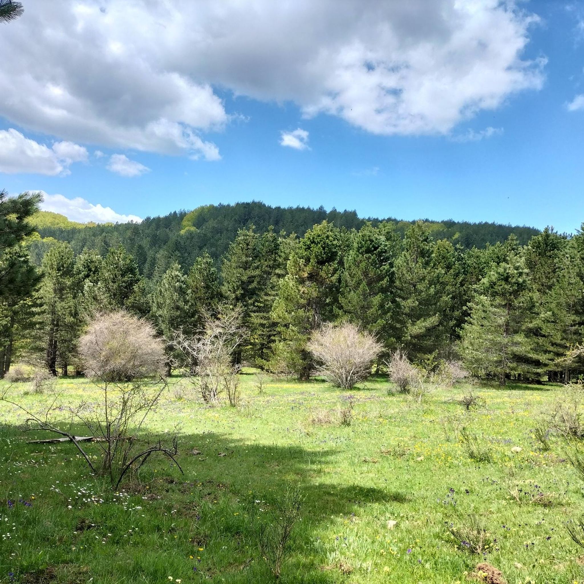
Macchialonga is a fantastic place, fairytale landscapes
1
0

Stretch of path for pedaling immersed in nature, crossing the famous woods of the Sila National Park.
0
0

You pedal in the shade of huge reddish fir trees.
2
0

In this stretch of wood we meet the Cecita river, which flows into the Cecita lake – it is the largest lake in the Sila and in Calabria.
1
0
The origins of these formations are unknown, but it is believed that they are man-made sculptures. The tallest of the structures has 7.5 meters.
3
0

path suitable for children
0
0
Frequently Asked Questions
How many hiking trails are available around Bocchigliero?
There are 9 hiking routes around Bocchigliero. These include 1 easy, 7 moderate, and 1 difficult trail, offering options for various skill levels.
Are there easy hiking trails suitable for beginners in Bocchigliero?
Yes, Bocchigliero offers at least one easy hiking trail. While specific easy routes are not detailed here, the region's varied terrain ensures options for those new to hiking or looking for a relaxed walk.
What kind of landscapes can I expect on hikes around Bocchigliero?
Hiking around Bocchigliero is characterized by dense fir forests, natural reserves, and river valleys. You'll encounter diverse terrain with elevation changes, providing a range of scenic experiences.
Are there any circular hiking routes in Bocchigliero?
Yes, many trails in Bocchigliero are designed as loops. For example, the Hiking loop from Riserva Naturale Golia - Corvo is a moderate 4.2-mile (6.8 km) trail that takes about 2 hours 37 minutes to complete.
What are some interesting natural attractions to see while hiking near Bocchigliero?
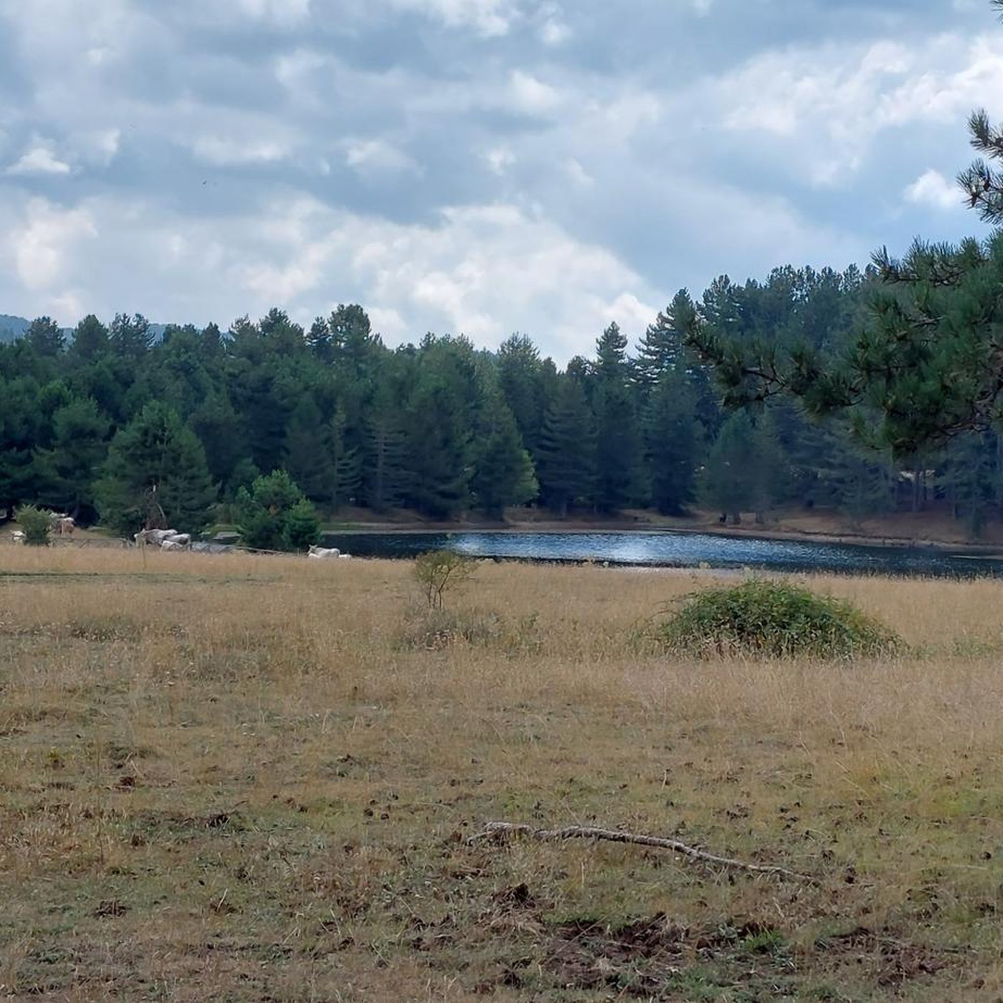
The area boasts several natural highlights. You can explore Lake Cecita or Macchialonga Pond. The Sila National Park also offers extensive natural beauty, including the unique Incavallicata Stones.
Are there any family-friendly hiking options in Bocchigliero?
While specific family-friendly routes are not highlighted, the presence of easy and moderate trails suggests options suitable for families. The varied landscapes, including fir forests and lakes, offer engaging environments for children to explore.
What is the typical duration of hikes around Bocchigliero?
Hikes vary in duration. For instance, the Stone Giants of Campana Trail is about 6.1 miles (9.9 km) and takes around 2 hours 51 minutes. Longer routes like Laghetto Macchialonga – Viale degli Abeti Rossi loop from Fossiata, at 6.5 miles (10.5 km), typically require over 3 hours.
What do other hikers say about the trails in Bocchigliero?
The hiking routes in Bocchigliero are highly rated by the komoot community, with an average score of 4.6 stars from around 20 reviews. Hikers often praise the varied terrain and the beauty of the fir forests and natural reserves.
Can I expect to see wildlife while hiking in Bocchigliero?
The region's dense fir forests and natural reserves, including areas within the Sila National Park, provide habitats for various wildlife. While sightings are never guaranteed, these natural environments offer opportunities for wildlife observation. There are even Wildlife enclosures nearby.
Is there parking available at the trailheads in Bocchigliero?
While specific parking information for each trailhead is not detailed, hiking areas in natural reserves and national parks typically offer designated parking facilities. It's advisable to check local signage upon arrival or consult detailed route maps for specific parking locations.
Are there any trails that follow rivers or lead to water features?
Yes, the region is known for its river valleys. The Viale degli Abeti Rossi – Cecita River in the Forest loop from Fossiata is an example of a route that explores the Cecita River area, offering scenic views along the water.
What is the best season for hiking in Bocchigliero?
The best season for hiking generally depends on personal preference. Spring and autumn offer milder temperatures and vibrant foliage, while summer provides warmer weather suitable for higher elevations. Winter hiking is possible, but some trails may be affected by snow, especially in higher areas.
Most popular routes around Bocchigliero
Most popular attractions around Bocchigliero

Get inspired with the komoot mobile app


Explore more
Browse the best Hikes in other regions.
