The best road cycling routes around Kaltenleutgeben
4.5
(1110)
20,634
riders
221
rides
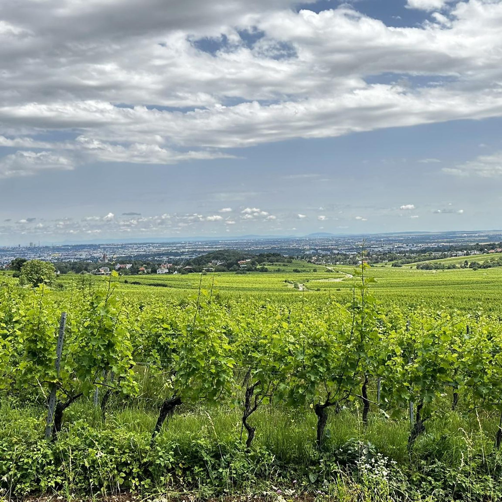
Road cycling routes around Kaltenleutgeben traverse the diverse landscape of the Vienna Woods (Wienerwald) in Lower Austria. The region features a mix of rolling hills, dense forests, and scenic valleys, providing varied terrain for cyclists. Routes often include alternating meadows and forests, along with climbs that offer panoramic views over the Wienerwald. The area presents a range of elevation gains, accommodating different fitness levels.
Best road cycling routes around Kaltenleutgeben
- The most popular road cycling route is Rechter Wöglerin Curve…
Last updated: October 9, 2026
5.0
(3)
92
riders
63.9km
03:15
1,020m
1,020m
Hard road ride. Very good fitness required. Some segments of this route may be unpaved and difficult to ride.
54
riders
Moderate road ride. Good fitness required. Mostly well-paved surfaces and easy to ride.

15
riders
67.7km
03:29
1,180m
1,180m
Hard road ride. Very good fitness required. Mostly well-paved surfaces and easy to ride.
16
riders
16.7km
00:50
170m
170m
Moderate road ride. Great for any fitness level. Some segments of this route may be unpaved and difficult to ride.
13
riders
22.5km
01:00
200m
200m
Moderate road ride. Great for any fitness level. Some segments of this route may be unpaved and difficult to ride.
Get access to more routes and recommendations from other explorers.
Already have an account?
Our route recommendations are based on thousands of hikes, rides, and runs completed by other people on komoot.
Start today with a free account
Your next adventure awaits.
Tips from the Community

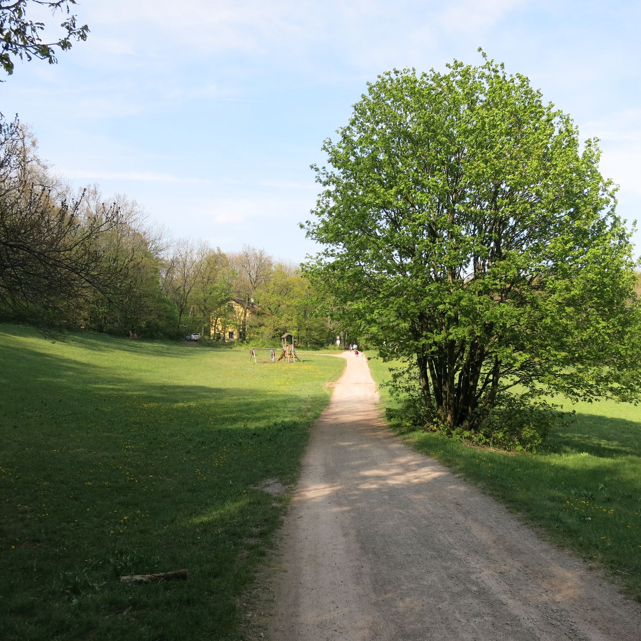
The small children's playground built and fenced there is nice, although there are only two benches. Right next to it is the play area for the older ones.
1
0
In the winter of 1872/1873, the contractor Antonio Gabrielli suggested to the municipal council that the work be completed in October 1873, instead of 1874 as contractually agreed, in return for a bonus payment. As both the sanitary situation – Vienna was again threatened by a cholera epidemic from 1872 onwards and the Kaiser-Ferdinands-Wasserleitung supplied insufficient water – and the financial situation were extremely strained, this led to difficult discussions within the water supply commission. On February 18, 1873, it submitted a motion to the municipal council to pay Gabrielli a bonus of one million guilders if the construction work was completed by October 1, 1873. This was accepted.
3
0
The first plans already existed in 1781 by the architect Wilhelm Bayer. The lake, upon its construction in 1895–1897, was used only as a utility water reservoir, and until recently as a drinking water reservoir for the Wiental water pipeline of the Wiental waterworks. The content of the basin, which is created by a 240-meter-long and 13-meter-high dam, was 1,430,000 cubic meters at the time.
1
0
The Kleine Semmering is the watershed between Wienfluss and Liesingbach.
1
0

Great walking, running, and cycling path; especially popular in good weather. A lovely place to linger! 👍
0
0

Great route off the cycle path with little traffic, lots of forest, simply great!
0
0

The site of the tragedy of January 30, 1889, has long been a convent. During my last visit, you could still drive up and ring the nuns' bell; today, everything is cordoned off and secured. Instead, there's a chic reception building. 😉
4
0

A tragedy made the place world-famous and a destination for many culture-loving tourists: On January 30, 1889, Crown Prince Rudolf and his lover, Mary Vetsera, committed suicide in what was then the hunting lodge. Following the "Tragedy of Mayerling," Emperor Franz Joseph had the castle redesigned as Carmel St. Joseph, a monastery for the Discalced Carmelites. While there had previously only been a small memorial, a visitor center was inaugurated in October 2014. Since the collapse of the Habsburg Monarchy led to the loss of the foundation for the maintenance of the convent, the nuns have since relied on the income from the memorial.
2
0
Frequently Asked Questions
How many road cycling routes are available around Kaltenleutgeben?
There are over 230 road cycling routes around Kaltenleutgeben, offering a wide variety of options for different skill levels. This includes 46 easy routes, 120 moderate routes, and 65 challenging routes.
What kind of terrain can I expect when road cycling in Kaltenleutgeben?
Road cycling in Kaltenleutgeben features the diverse landscape of the Vienna Woods (Wienerwald). You'll encounter a mix of rolling hills, dense forests, and scenic valleys. Routes often traverse charming meadows and lush forests, with varied elevation gains from gentle slopes to significant climbs that reward with panoramic views.
What is the best time of year for road cycling in Kaltenleutgeben?
The best seasons for road cycling in Kaltenleutgeben are spring and autumn. During these times, the weather is typically mild, and the natural scenery of the Wienerwald is at its most vibrant, offering beautiful backdrops for your rides.
Are there challenging road cycling routes with significant climbs near Kaltenleutgeben?
Yes, the region is known for routes with significant climbs that offer magnificent panoramic views. For a challenging ride, consider the Rechter Wöglerin Curve – Inscribed Beech loop from Breitenfurt bei Wien, which covers 39.5 miles (63.6 km) with over 1000 meters of elevation gain through forested hills.
Can I find easy road cycling routes suitable for beginners in Kaltenleutgeben?
Absolutely. Kaltenleutgeben offers 46 easy road cycling routes perfect for beginners or those seeking a more relaxed ride. An example is the Mödling Town Center – Schönbrunner Allee loop from Biosphärenpark Wienerwald Kernzone Hollergraben, an easy 29.9 km route with minimal elevation gain.
What interesting sights or viewpoints can I discover along road cycling routes in Kaltenleutgeben?
The area around Kaltenleutgeben offers several rewarding sights. You might incorporate a stop at the Husar Temple, a monument offering impressive views over the Vienna Basin, or the Sina Warte Observation Tower for extensive panoramic views of the surrounding landscape.
Are there circular road cycling routes available starting from Kaltenleutgeben?
Many of the road cycling routes in Kaltenleutgeben are designed as loops, allowing you to start and finish in the same location. For instance, the Kleiner Semmering Pass – Rechter Wöglerin Curve loop from Breitenfurt bei Wien is a popular moderate circular route.
Are there options for parking or public transport access for road cycling routes in Kaltenleutgeben?
Kaltenleutgeben's proximity to Vienna means it's accessible. While specific parking details vary by starting point, many routes begin from towns with public transport connections, making it convenient to reach the starting points without a car.
Are there family-friendly road cycling routes in Kaltenleutgeben?
While many routes involve hills, there are easier options suitable for families. Look for routes categorized as 'easy' which typically have less elevation gain and are shorter in distance, providing a more relaxed experience for all ages.
What do other road cyclists say about the routes around Kaltenleutgeben?
The road cycling routes around Kaltenleutgeben are highly rated by the komoot community, with an average score of 4.5 stars from over 800 reviews. Cyclists often praise the varied terrain, the beautiful scenery of the Wienerwald, and the rewarding panoramic views after climbs.
Which road cycling routes offer the most scenic views over the Wienerwald?
Routes that include significant climbs often lead to the most spectacular viewpoints. Many routes in the region promise magnificent panoramic views over the Wienerwald and even as far as the Vienna Basin and the foothills of the Alps on clear days. Look for routes passing by landmarks like the Husarentempel or Sina-Warte for guaranteed vistas.
Are there places to stop for refreshments or find accommodation along the road cycling routes?
Yes, as Kaltenleutgeben is part of the well-developed Wienerwald region, you'll find various cafes, traditional Gasthäuser (inns), and accommodation options in the villages and towns along or near the popular cycling routes. These provide excellent opportunities for a break or an overnight stay.
Most popular routes around Kaltenleutgeben
Most popular attractions around Kaltenleutgeben

Get inspired with the komoot mobile app


Explore more
Browse the best Road cycling routes in other regions.
