The best walks and hikes around Petronà
4.3
(129)
341
hikers
32
hikes
Hiking around Petronà, located in Calabria, Italy, offers access to diverse natural landscapes within the Sila National Park. The region features forested areas, hills, and notable waterfalls, providing varied terrain for outdoor activities. Trails often traverse through woodlands and lead to natural water features, characteristic of the local environment.
Best hiking trails around Petronà
- The most popular hiking route is Monte Gariglione Loop Trail, an easy 3.4 miles (5.4 km) trail that takes 1 hour 30 minutes to complete,…
Last updated: August 31, 2026
4.8
(6)
18
hikers
6.57km
02:17
350m
350m
Moderate hike. Good fitness required. Mostly accessible paths. Sure-footedness required.
5.0
(3)
6
hikers
5.41km
01:31
100m
110m
Embark on the Monte Gariglione Loop Trail, an easy hiking route that takes you through the dense, untouched forests of Sila National Park. This pleasant 3.4-mile (5.4 km) loop offers…

Sign up for free
4.0
(2)
7
hikers
10.7km
02:55
160m
160m
Moderate hike. Good fitness required. Easily-accessible paths. Suitable for all skill levels.
4.2
(5)
5
hikers
8.84km
02:26
150m
150m
Moderate hike. Good fitness required. Easily-accessible paths. Suitable for all skill levels.
1
hikers
19.9km
05:31
360m
360m
Hike the difficult 12.4-mile Sentiero Italia and Colle del Telegrafo Loop in Sila National Park, gaining 1190 feet over 5 hours and 31 minut
Get access to more routes and recommendations from other explorers.
Sign up for free
Already have an account?
Our route recommendations are based on thousands of hikes, rides, and runs completed by other people on komoot.
Start today with a free account
Your next adventure awaits.
Login or Signup
Popular around Petronà
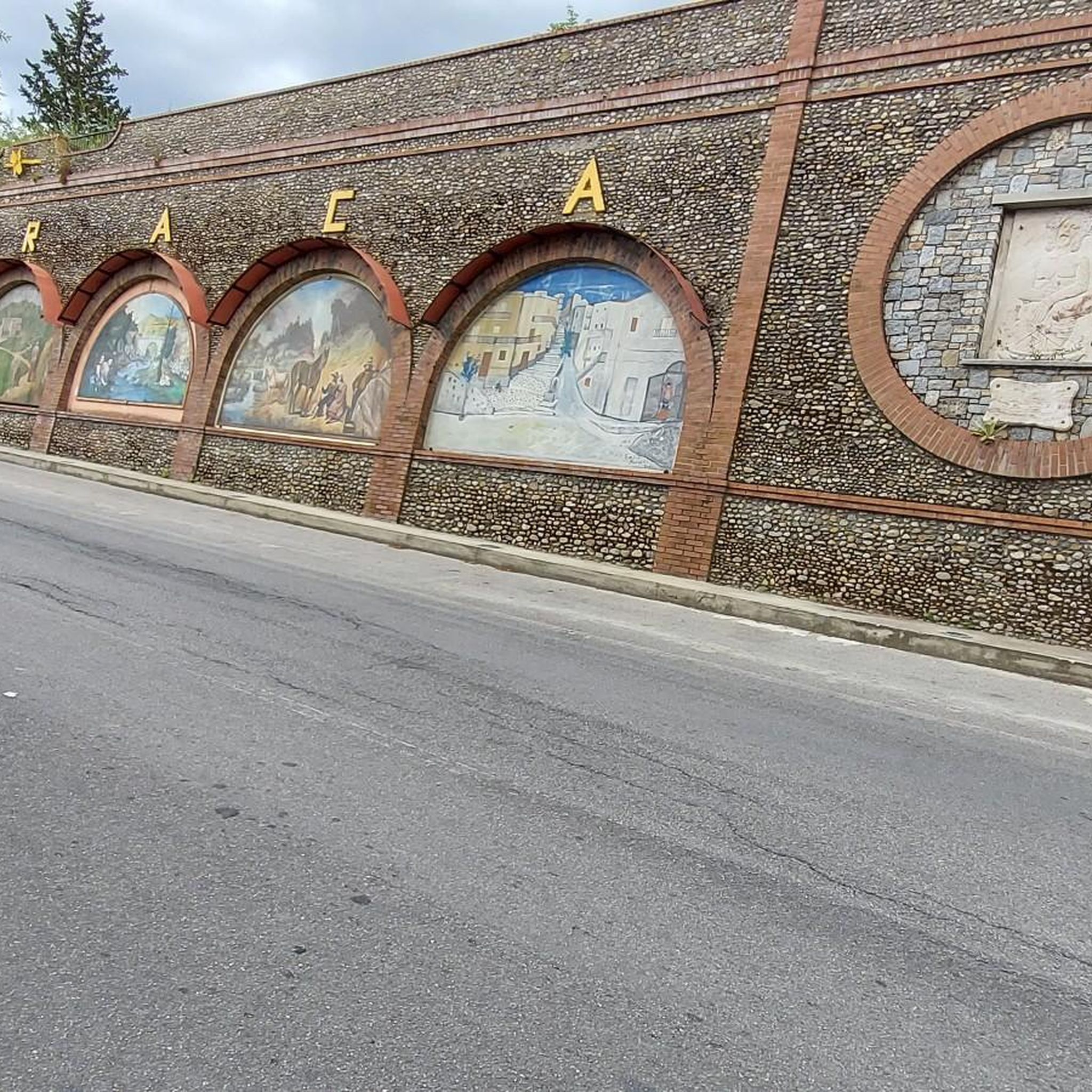
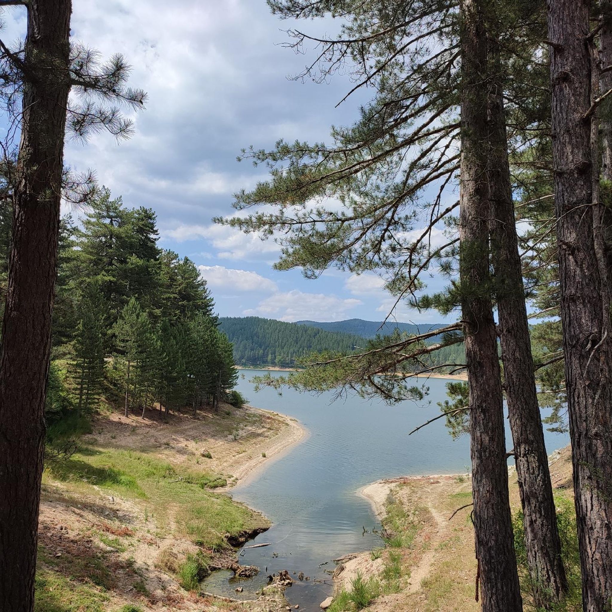
Tips from the Community

An easy hike along a marked trail to the summit of Mount Gariglione, at the trigonometric point. Departure is from the former Gariglione barracks.
0
0

The Campanaro waterfalls, fed by the Campanaro river, are located near Zagarise. To get to the two waterfalls you have to cross a small suspension bridge and various stairs.
4
0
Buturo is an ancient historical village of Sila Piccola, in the province of Catanzaro. The name of the village derives from the dialectal term "Vuturu", which referred to the vulture, an animal that once populated the Sila.
1
0

We spent 6 wonderful days in the Sila park, looking for calm at the end of December and beginning of January. The exceptional spring temperatures accompanied us during all our treks. A moment out of time, alone in the world in the middle of '' gigantic '' pines more than a hundred years old! Please leave the areas clean. Bring your trash! Thanks.
0
0
The Leone Grandinetti refuge is an alpine refuge, at 1611 m, located within the Sila National Park. It was built in 2007 by renovating existing buildings and consists of two buildings: one used as a dormitory with 16 beds, and the other as a living room and restaurant with kitchen and accommodation for the manager.
1
0
Monte Gariglione is the highest mountain of the Sila Piccola, and is located at 1765 m. The relief is surrounded by tall trees, mainly beech and larch pine.
1
0
Tirivolo is a small mountain village, which is located at an altitude of 1580 meters. According to analyzes in 2010 it was defined as the area with the cleanest air in Europe. The area is known for its forest area.
3
0
Frequently Asked Questions
How many hiking trails are available around Petronà?
There are approximately 28 hiking trails around Petronà, offering a variety of experiences. These include 9 easy routes, 13 moderate paths, and 6 more challenging trails, catering to different fitness levels.
Are there any easy hiking trails suitable for beginners or families in Petronà?
Yes, Petronà offers several easy trails perfect for beginners or families. One such option is the Monte Gariglione Loop Trail, which is 3.4 miles (5.4 km) long and takes about 1 hour 30 minutes to complete, winding through local hills.
Are there any circular hiking routes in the Petronà area?
Yes, several circular routes are available. For example, the Cascata dei Faggi e del Lupo – ring tour – Sila National Park is a moderate 4.1-mile (6.6 km) loop featuring waterfalls and forest scenery. Another option is the Rifugio Leone Grandinetti – loop tour – Sila National Park.
What kind of natural attractions can I expect to see along the hiking trails?
The trails around Petronà, particularly within the Sila National Park, are known for their natural beauty. You can expect to encounter numerous waterfalls, such as the Campanaro Waterfall, Litrello Waterfall, and Cascata del Piciaro, as well as dense forested areas like Coturelle Piccione – Treasure Chest of Biodiversity.
Are there any notable landmarks or places to explore near the hiking routes?
Beyond the natural landscapes, you can explore nearby points of interest. The Lago Ampollino Dam is a significant man-made structure, and you might also find charming settlements like Taverna or Villaggio Mancuso. For a scenic walk, consider the Loop around Lake Passante.
What do other hikers enjoy most about hiking in Petronà?
The komoot community highly rates the hiking experience in Petronà, with an average score of 4.4 stars from over 100 reviews. Hikers often praise the diverse terrain, the tranquility of the Sila National Park, and the beauty of the waterfalls and dense forests.
What is the best time of year for hiking in Petronà?
The region's diverse landscapes, including forests and hills, make it suitable for hiking during spring, summer, and autumn. Spring offers lush greenery and blooming flora, while autumn provides vibrant fall colors. Summers are generally pleasant, especially at higher elevations within the Sila National Park.
Are there any trails that feature waterfalls?
Yes, waterfalls are a prominent feature of the hiking trails around Petronà. The From Zagarise to the Campanaro Falls – Sila National Park trail, for instance, leads directly to the impressive Campanaro Falls. The Cascata dei Faggi e del Lupo – ring tour also features beautiful cascades.
Are there any longer or more challenging hikes for experienced hikers?
For experienced hikers seeking a challenge, Petronà offers more demanding routes. The Sentiero Italia and Colle del Telegrafo Loop is a difficult 12.4-mile (19.9 km) trail that takes approximately 5 hours 30 minutes to complete, featuring significant elevation changes.
Is public transport available to access hiking trailheads in Petronà?
While specific public transport options directly to every trailhead might be limited, Petronà is a small town in Calabria. It's advisable to check local bus schedules or consider driving to access the more remote trailheads within the Sila National Park. Some routes may start closer to the town center or accessible villages.
What kind of wildlife might I encounter on the trails?
The Sila National Park, where many of Petronà's trails are located, is rich in biodiversity. Hikers might spot various bird species, small mammals, and if very lucky, even larger animals like wolves or deer, though these are typically elusive. The forests themselves are home to diverse plant life.
Are there any specific recommendations for what to wear when hiking in Petronà?
Given the varied terrain and potential for changing weather, especially in the Sila National Park, it's recommended to wear sturdy hiking boots, layered clothing, and bring rain gear. Even in warmer months, temperatures can drop at higher elevations. Always check the local weather forecast before heading out.
Most popular routes around Petronà
Most popular attractions around Petronà

Get inspired with the komoot mobile app


Explore more
Browse the best Hikes in other regions.
