The best road cycling routes around Traitsching
4.4
(248)
3,594
riders
281
rides
Road cycling routes around Traitsching traverse the Upper Bavarian Forest Nature Park, offering varied terrain for cyclists. The region features gentle hills and river valleys, providing a mix of ascents, descents, and flatter sections. Road cyclists can experience the scenic landscapes of the Upper Bavarian Forest, with routes often following the Regen River. This area is characterized by its natural features, including forests and waterways, which form the backdrop for cycling.
Best road cycling routes around Traitsching
- The most popular…
Last updated: June 26, 2026
4.5
(6)
73
riders
42.0km
01:47
170m
170m
Easy road ride. Great for any fitness level. Mostly well-paved surfaces and easy to ride.
4.2
(5)
19
riders
35.6km
01:56
270m
270m
Moderate road ride. Great for any fitness level. Some segments of this route may be unpaved and difficult to ride.

Sign up for free
4.5
(2)
14
riders
23.9km
01:01
150m
160m
Easy road ride. Great for any fitness level. Mostly well-paved surfaces and easy to ride.
11
riders
57.3km
03:07
1,150m
1,150m
Hard road ride. Very good fitness required. Some segments of this route may be unpaved and difficult to ride.
11
riders
30.0km
01:24
300m
300m
Moderate road ride. Good fitness required. Mostly well-paved surfaces and easy to ride.
Get access to more routes and recommendations from other explorers.
Sign up for free
Already have an account?
Our route recommendations are based on thousands of hikes, rides, and runs completed by other people on komoot.
Start today with a free account
Your next adventure awaits.
Login or Signup
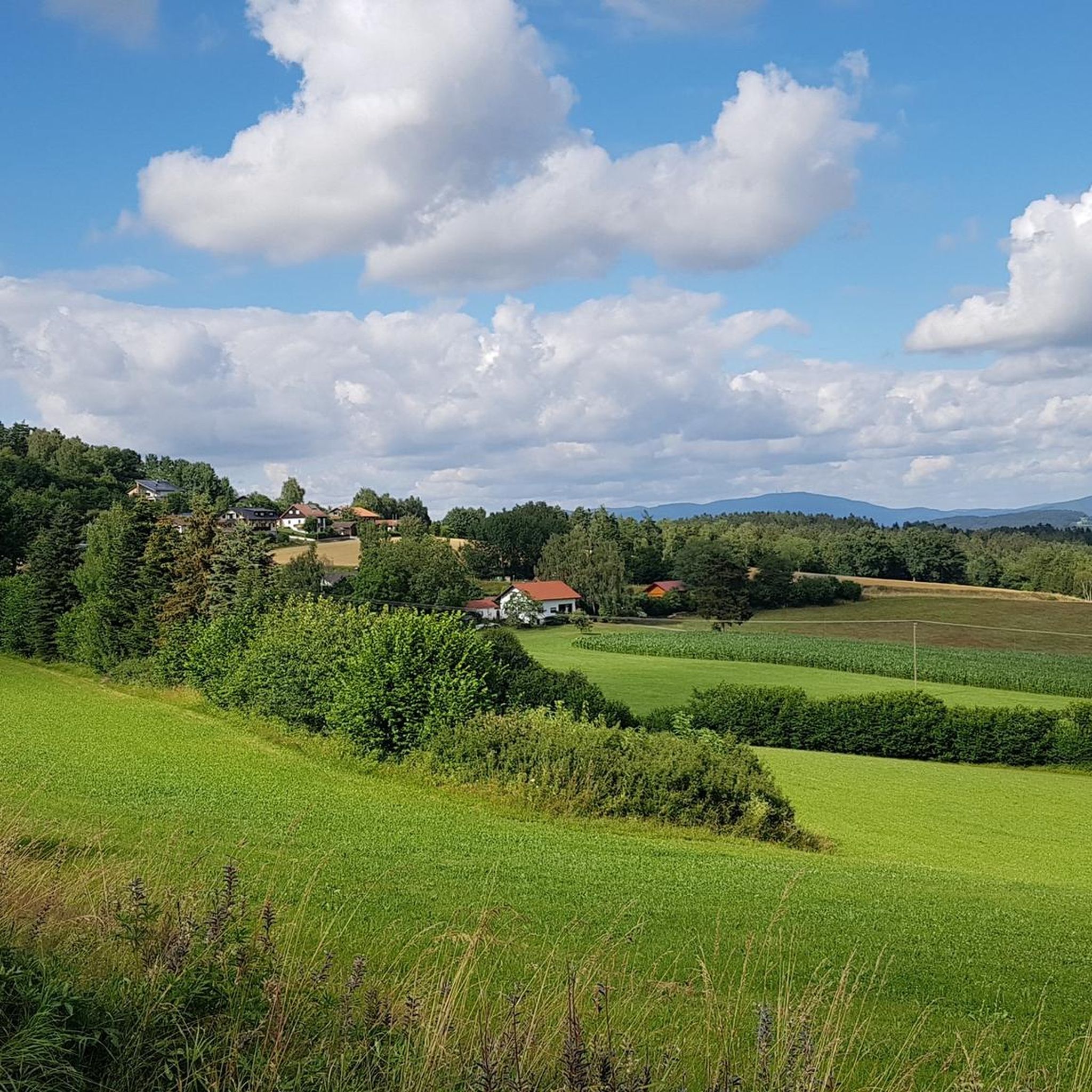
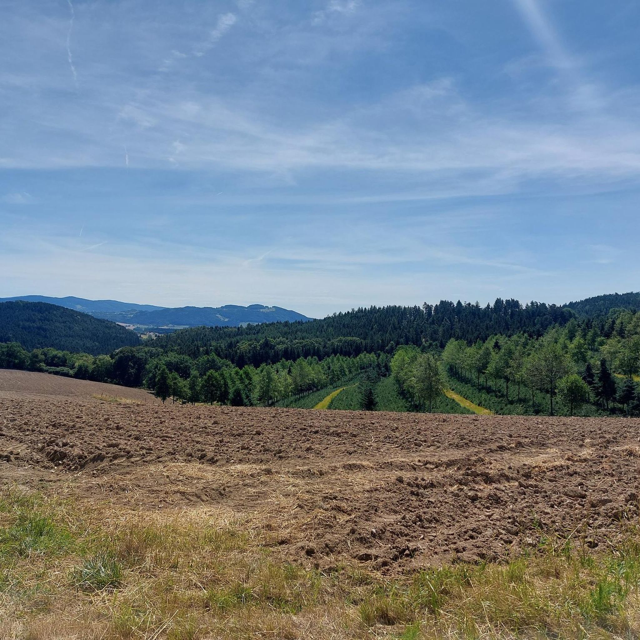
Tips from the Community

beautiful, almost car-free market square. The fountain has something in it. Those who don't know might get wet
0
0

St. Martin's Parish Church The history of the parish dates back to the Middle Ages. The first record of such a church is from 1297, but a church certainly existed in Untertraubenbach around the year 1000. This former parish church was destroyed in the Thirty Years' War and subsequently rebuilt on the site of the also-destroyed castle. According to the date inscribed on the west gate, this was in 1719. On Maundy Thursday in 1813, a fire broke out, destroying most of the central and outer parts of the village, including the parish church. Reconstruction began just one year later. Until the 20th century, St. Martin's Parish experienced the turbulent events of history, even suffering the effects of World War II. Renovations were necessary time and again, the most recent taking place in 2002/2003. In 2009, the bell tower was expanded to include two additional bells. Upon entering the church, one is struck by its deliberate simplicity. A simple nave with an adjoining chancel is only enlivened by wall piers, giving the interior an almost medieval character. A barrel vault spans the entire nave. At the center of the chancel stands the high altar, framed by two altar guardians, St. Florian and St. Sebastian. This is a neo-Baroque work from around 1900. At the center is a festively framed painting of Mary, which was brought to Untertraubenbach from the pilgrimage chapel of Streicherröhren in 1718, as it was no longer considered safe there. It is a beautiful copy of the Passau Maria-Hilf painting, which is based on the original by Lucas Cranach. The patron saint of the church, St. Martin, is depicted in the altarpiece. On both sides of the sanctuary are beautifully carved choir stalls, adorned with charming ornamental carvings. Inside the nave, the wooden pulpit is a striking feature. It is a simple piece of woodwork depicting the four Evangelists and the Good Shepherd. The stained-glass windows show St. Michael and John the Baptist on the left and St. Barbara and Thérèse of Lisieux on the right. Source: Excerpts from the church guide for St. Martin's Parish Church in Untertraubenbach
3
0
Wetterfeld Castle Ruins As early as 1118, Gottfried von Wetterfeld appears as an influential ministerialis (unfree knight) of the Diepoldings, the powerful Margraves of Cham and Vohburg. He seems to have maintained good relations with many monasteries, especially Reichenbach Abbey—no wonder, since Abbot Reginboto was his brother. Numerous donations to various monasteries by Gottfried are documented, a widespread practice among knights to secure their salvation. In a donation from 1155, Heinrich is even mentioned as an imperial ministerialis, which demonstrates the family's rapid political rise. In 1179, Karl and Heinrich "de Weterinfeld" appear, after which the family disappears from the historical record. It is not until 1268 that we hear of a Deinhardus, who is now subject to the Bavarian dukes; perhaps they lost their independence with the inheritance of the Hohenstaufen dynasty. From 1283 onward, the Wittelsbachs sent judges to Wetterfeld. Ducal ministeriales from the surrounding area succeeded in office: Hauzendorfer, Katzdorfer, Zenger, and others. In 1322, it was pledged to the Chamerau family. In 1329, Wetterfeld came under the control of the Palatine line of the Wittelsbachs, who also appointed judges. In 1410, it passed to the sub-principality of Neumarkt-Neunburg, with the Degenberger, Nothaft, and Zenger families, among others, serving as administrators. During the Hussite raids of 1428 and 1433, the castle was destroyed and subsequently rebuilt. A unique feature of Wetterfeld is the four "castle guards"—four legally independent building complexes within the castle, which were granted separately—making the ownership situation quite complex. In 1621, during the Thirty Years' War, the Upper Palatinate, including Wetterfeld, came under the rule of Duke Maximilian of Bavaria. Later in the war, Wetterfeld was destroyed twice by the Swedes and subsequently rebuilt. But the castle and its buildings continued to deteriorate, and the administrators increasingly relocated their offices outside the castle. In 1812, the administrative office was moved to Roding, the castle grounds were subdivided, and private houses were built over. Wetterfeld is a moated castle—a branch of the Regen River bordered the complex to the northeast. The still clearly visible, deep, walled moat could be filled with sluice gates in case of attack. Essentially, only the large gate tower, built of rubble stone with corner quoins, remains. Its upper, habitable floors make it a variation of the late medieval residential tower. Source: www.burgenseite.de
1
0


Delicious beer, pork knuckles, sulzn, whatever you need
0
0

It is the only one of the original four city gates still standing. It was originally called the Castle Gate, as the Cham Castle stood on the site of the adjacent old building. However, after it lost its former function, an electoral brewery for wheat beer was established here in 1642. Thus, the Castle Gate became popularly known as the "Beer Gate." Its squat shape with its massive round towers and covered pointed arch is reflected in the coat of arms of the city of Cham as a landmark.
5
0

permanent incline from Neukirchen to Maibrunn, very little traffic today :-)
0
0

A little tip: always take some small change with you, so you can buy some deer feed whenever you're out and about.
0
0
Frequently Asked Questions
How many road cycling routes are available in Traitsching?
Traitsching offers a wide selection of road cycling routes, with over 280 tours available. These routes cater to various skill levels, from easy rides to more challenging ascents through the Upper Bavarian Forest.
What kind of terrain can I expect on road cycling routes around Traitsching?
The region around Traitsching is characterized by gentle hills and the picturesque river valleys of the Regen River. This provides a diverse cycling experience, with a mix of ascents, exhilarating descents, and flatter sections along the riverbanks, all set against the backdrop of the Upper Bavarian Forest Nature Park.
Are there road cycling routes suitable for beginners or families in Traitsching?
Yes, Traitsching offers several easy road cycling routes perfect for beginners or families. For instance, the Biertor, Cham – Wetterfeld Castle Ruins loop from Hofmark Brauerei is an easy 26.3-mile route that offers scenic views along the river and through the countryside.
What are some scenic highlights or landmarks I can see while cycling in Traitsching?
Road cycling routes in Traitsching often pass by significant natural and historical landmarks. You can explore the Wetterfeld Castle Ruins, or discover other historic sites like the moated castle in Loifling. The routes also offer panoramic views of the Upper Bavarian Forest and follow the scenic Regen River.
Are there any challenging road cycling routes for experienced riders in Traitsching?
Absolutely. For experienced riders seeking a challenge, Traitsching provides routes with significant elevation gain. A notable difficult route is the Maibrunner Höhe (902 m) – St. Leonhard's Chapel (St. Englmar) loop from Sattelbogen, which covers 35.6 miles with over 3,700 feet of ascent, offering a demanding ride through the region's higher elevations.
What is the best time of year for road cycling in Traitsching?
The best time for road cycling in Traitsching is typically during the warmer months, from spring through early autumn. During this period, the weather is generally favorable, allowing cyclists to fully enjoy the beautiful landscapes and varied terrain of the Upper Bavarian Forest.
Are there circular road cycling routes available in Traitsching?
Yes, many road cycling routes around Traitsching are designed as loops, allowing you to start and end at the same point. An example is the Biertor, Cham loop from Hofmark Brauerei, a 14.9-mile route that takes you through the picturesque landscape of the Upper Bavarian Forest.
What do other cyclists say about road cycling in Traitsching?
The road cycling routes in Traitsching are highly rated by the komoot community, with an average score of 4.4 stars from over 200 reviews. Cyclists often praise the varied terrain, the beautiful landscape of the Upper Bavarian Forest, and the scenic stretches along the Regen River.
Are there places to stop for refreshments along the road cycling routes?
While specific cafes or pubs are not listed for every route, the region's charming villages and towns, such as Loifling, often offer opportunities for refreshment. Additionally, the Huts and Cabins around Traitsching guide can provide information on places like the Kreuzhaus Mountain Inn, which might be accessible from some routes.
Where can I find parking for road cycling routes in Traitsching?
Many road cycling routes in Traitsching start from accessible points in towns or near attractions where parking facilities are typically available. For routes originating from specific locations like Hofmark Brauerei or Loifling, you can usually find parking nearby to begin your ride.
Can I reach road cycling routes in Traitsching by public transport?
While specific public transport connections directly to trailheads are not detailed, Traitsching and surrounding towns are generally connected by regional public transport. It's advisable to check local bus or train schedules to see which routes align with your desired starting points for cycling tours.
What natural features define the road cycling experience in Traitsching?
The road cycling experience in Traitsching is defined by the stunning natural features of the Upper Bavarian Forest Nature Park. Cyclists can enjoy routes that traverse through forests, alongside the serene Regen River, and over gentle hills offering expansive views of the Bavarian landscape.
Are there any routes that pass by historical sites?
Yes, several routes offer glimpses of historical sites. For example, the Biertor, Cham – Wetterfeld Castle Ruins loop from Hofmark Brauerei passes by the Wetterfeld Castle Ruins. The region also features other historical points of interest like the historic moated castle in Loifling and the Wallfahrtskirche Heilbrünnl (pilgrimage church) which can be incorporated into your rides.
Most popular routes around Traitsching
Most popular attractions around Traitsching

Get inspired with the komoot mobile app


Explore more
Browse the best Road cycling routes in other regions.
