The best mountain hikes around Abbadia Lariana
4.6
(89)
795
hikers
37
hikes
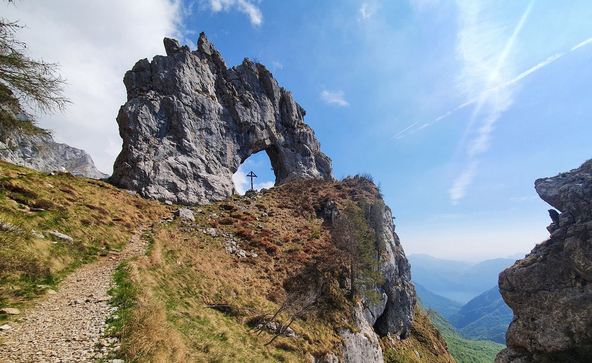
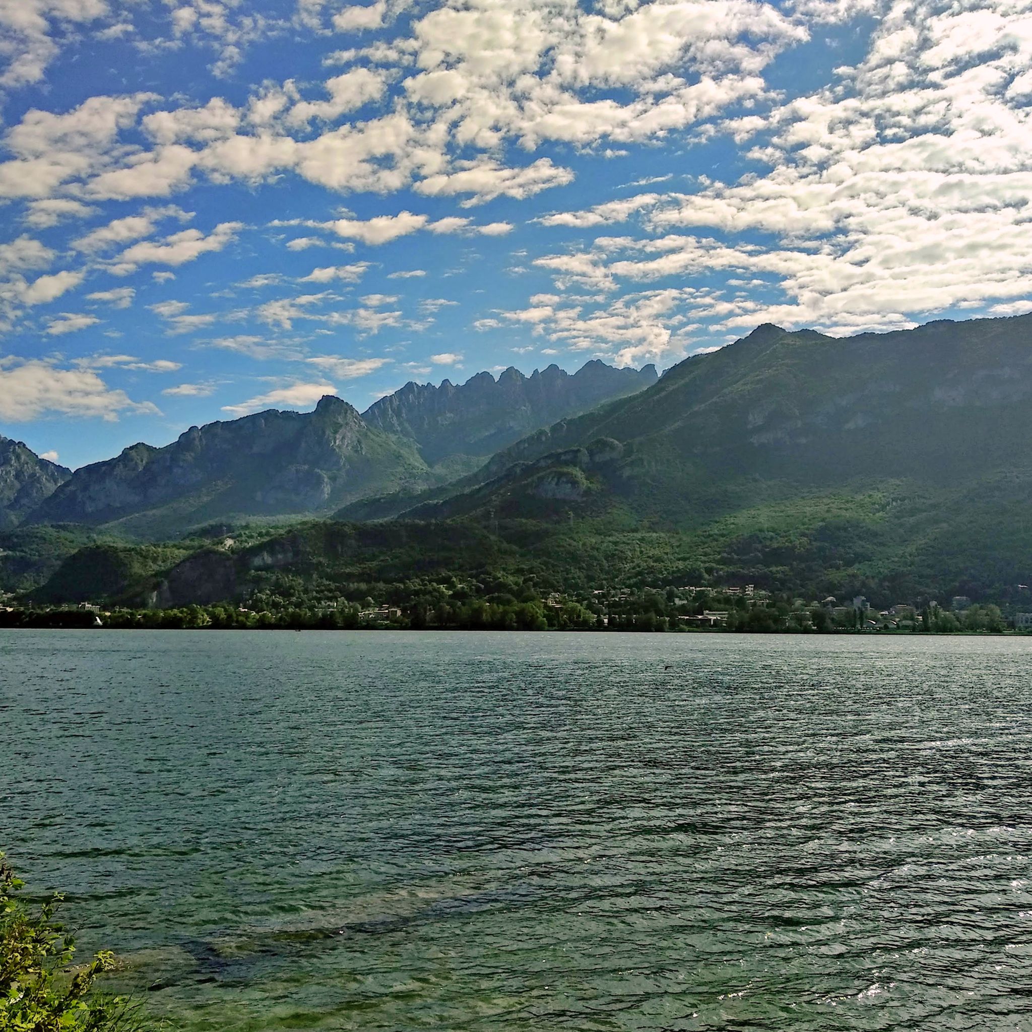
Mountaineering around Abbadia Lariana is defined by the dramatic Grigna massif, which rises directly behind the town on the eastern shore of Lake Como. This region features a diverse landscape of steep terrain, deep ravines, and numerous rock formations, including pinnacles and towers. The Grigna group, comprising Grignone (Northern Grigna) and Grignetta (Southern Grigna), offers a variety of challenging trails. Mountaineers can explore high-alpine routes and technical climbs amidst these rugged peaks.
Best mountaineering routes around Abbadia Lariana
- The most…
Last updated: July 4, 2026
4.1
(12)
118
hikers
8.14km
04:48
830m
830m
Hard mountaineering route. Good fitness required. Sure-footedness, sturdy shoes and alpine experience required.
4.8
(12)
109
hikers
6.99km
04:16
820m
820m
Hard mountaineering route. Good fitness required. Sure-footedness, sturdy shoes and alpine experience required.

Sign up for free
4.9
(9)
61
hikers
5.11km
03:35
560m
560m
Hard mountaineering route. Good fitness required. Sure-footedness, sturdy shoes and alpine experience required.
16
hikers
7.85km
04:15
660m
660m
Hard mountaineering route. Good fitness required. Sure-footedness, sturdy shoes and alpine experience required.
4.5
(4)
9
hikers
8.38km
03:36
650m
650m
Hard mountaineering route. Good fitness required. Sure-footedness, sturdy shoes and alpine experience required.
Get access to more routes and recommendations from other explorers.
Sign up for free
Already have an account?
Our route recommendations are based on thousands of hikes, rides, and runs completed by other people on komoot.
Start today with a free account
Your next adventure awaits.
Login or Signup
Popular around Abbadia Lariana

Other adventures around Abbadia Lariana

Tips from the Community


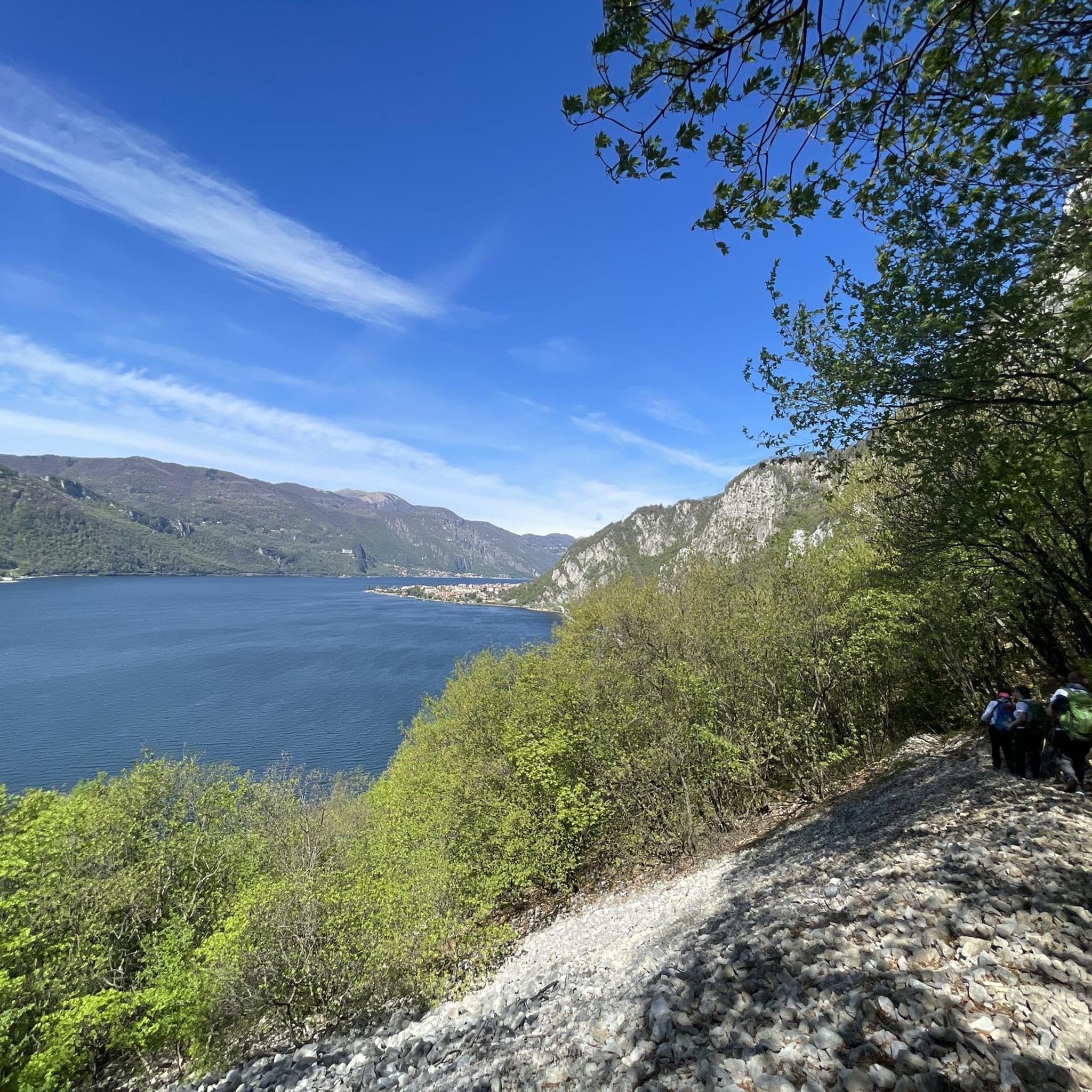
Beautiful view of Lake Lecco with ample space for a picnic stop
0
0

A beautiful refuge overlooking Lake Como at the foot of the Corni di Canzo, managed by always kind and efficient volunteers, excellent cuisine.
0
0
Magnificent beautiful and majestic
0
0
Passage point for Grignetta, excellent refuge
0
0

The climb from Forcella dei Corni to Corno di Canzo Occidentale follows a section classified EE, with passages on rock and grass and some easy climbing sections; it requires a surefootedness and attention, especially in case of wet ground and rocks. Great place to admire the surrounding panorama.
0
0

Crossroads after the Carlo Porta refuge. Go straight up the Cermenati ridge. To the left, take the Direttissima (EE).
0
0
Iron stairs to begin the equipped section of the direct route.
0
0
Frequently Asked Questions
What kind of terrain can I expect on mountaineering routes around Abbadia Lariana?
Mountaineering in Abbadia Lariana is characterized by the dramatic Grigna massif, featuring steep terrain, deep ravines, and numerous rock formations like pinnacles and towers. Routes often involve sustained climbing and technical sections, offering a challenging experience.
Are there any beginner-friendly mountaineering routes in Abbadia Lariana?
The mountaineering routes around Abbadia Lariana are predominantly challenging. Out of nearly 50 available routes, 43 are rated as difficult, and 5 as moderate. There are no easy mountaineering routes specifically for beginners in this area, making it more suitable for experienced mountaineers.
What are some notable natural features or landmarks to see while mountaineering here?
The region offers spectacular panoramic views of Lake Como from many routes. You can also discover natural landmarks such as the impressive Cenghen Waterfall in Val Monastero, or reach summits like Summit of Resegone, Monte Barro Summit View, and Monte San Primo Summit.
Are there any via ferrata routes in the area?
Yes, for those seeking technical challenges, Abbadia Lariana offers via ferrata routes. A notable option is the Via Ferrata of Mount Medale – Medale Horn loop from Lecco, which involves technical rock sections and climbing.
What do other mountaineers say about the routes in Abbadia Lariana?
The mountaineering routes in Abbadia Lariana are highly rated by the komoot community, with an average score of 4.6 stars from over 100 reviews. Mountaineers often praise the challenging ascents, the dramatic Grigna massif, and the rewarding panoramic views of Lake Como.
Are there any circular mountaineering routes available?
Yes, several routes are designed as loops. For example, the Rifugio Alpeggio Carlo Porta – Caminetto Pagani loop from Lecco and the Rifugio Alpeggio Carlo Porta – Cermenati Ridge loop from Lecco are popular circular options that offer challenging climbs through the Grigna massif.
What is the best time of year for mountaineering in Abbadia Lariana?
The mild climate of the region, particularly in spring and autumn, makes these seasons ideal for exploring the diverse landscapes and engaging in mountaineering. These periods generally offer more stable weather conditions for challenging ascents.
Are there mountain huts available for longer excursions?
Yes, for longer excursions and climbs within the Grigna massif, several mountain huts serve as strategic bases. These include Rosalba Hut, Elisa Hut, Bogani Hut, and Brioschi Hut, often situated in panoramic locations and providing excellent starting points for various ascents.
Can I reach the mountaineering trails using public transport?
Abbadia Lariana is located on the eastern shore of Lake Como and is accessible by train. The Sentiero del Viandante, an ancient hiking trail that passes through Abbadia Lariana, is well-signposted and has convenient access points to the railway line, which can connect you to various starting points for mountain routes.
Are there any routes that offer views of Lake Como?
Absolutely. Many of the hiking and mountaineering routes in the Grigna massif provide spectacular, breathtaking panoramic views of Lake Como, enhancing the outdoor experience significantly. The elevated positions of these trails offer unique perspectives of the lake and surrounding landscape.
What is the typical duration for a mountaineering route in Abbadia Lariana?
The duration of mountaineering routes varies depending on their length and difficulty. For instance, the Natural Bridge of Civate – Santa Maria Sopra Olcio loop from Mandello del Lario typically takes around 4 hours 32 minutes, while the Corno di Canzo Occidentale loop from Valbrona can be completed in about 3 hours 35 minutes.
Most popular routes around Abbadia Lariana
Most popular attractions around Abbadia Lariana

Get inspired with the komoot mobile app


Explore more
Browse the best Mountain Hikes & Routes in other regions.
