The best mountain hikes around Oliveto Lario
4.7
(74)
663
hikers
23
hikes
Mountaineering routes around Oliveto Lario are characterized by the rugged terrain of the Grigne mountains, which rise dramatically from the western bank of Lake Como. The landscape features dolomitic-limestone rock formations, vertical walls, and dense woods of chestnut, hornbeam, and oak. This area provides a challenging environment for mountaineers, with routes often involving significant elevation gain and technical sections. The region offers extensive views over Lake Como and the surrounding alpine peaks.
Best mountaineering routes around Oliveto Lario
- The most…
Last updated: October 8, 2026
4.2
(14)
137
hikers
8.16km
04:49
830m
830m
Hard mountaineering route. Good fitness required. Sure-footedness, sturdy shoes and alpine experience required.
4.8
(12)
106
hikers
6.97km
04:16
820m
820m
Hard mountaineering route. Good fitness required. Sure-footedness, sturdy shoes and alpine experience required.

4.9
(8)
55
hikers
6.66km
04:36
910m
910m
Hard mountaineering route. Very good fitness required. Sure-footedness, sturdy shoes and alpine experience required.
4.6
(5)
43
hikers
12.6km
07:32
1,030m
1,030m
Hard mountaineering route. Very good fitness required. Sure-footedness, sturdy shoes and alpine experience required.
4.6
(5)
51
hikers
9.82km
05:20
920m
920m
Hard mountaineering route. Very good fitness required. Sure-footedness, sturdy shoes and alpine experience required.
Get access to more routes and recommendations from other explorers.
Already have an account?
Our route recommendations are based on thousands of hikes, rides, and runs completed by other people on komoot.
Start today with a free account
Your next adventure awaits.
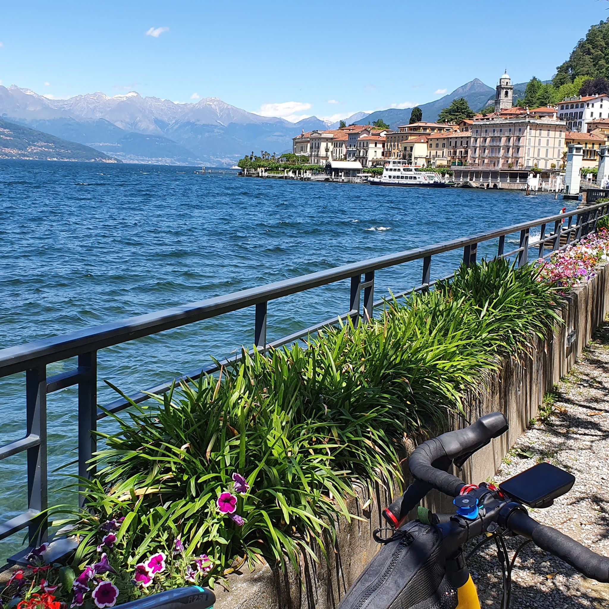
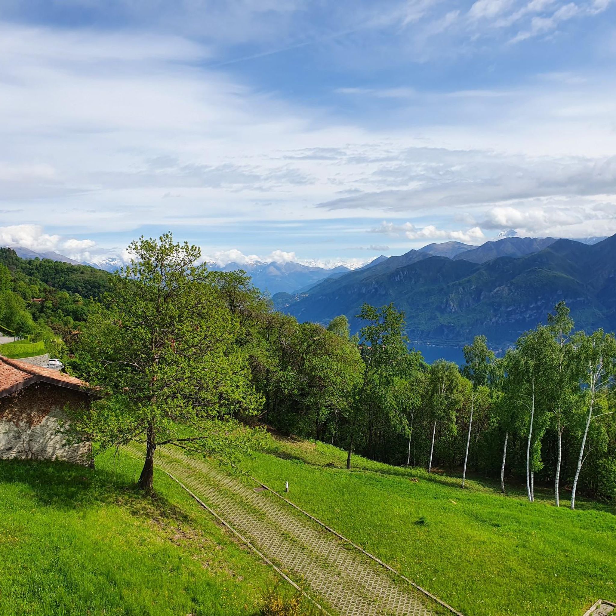
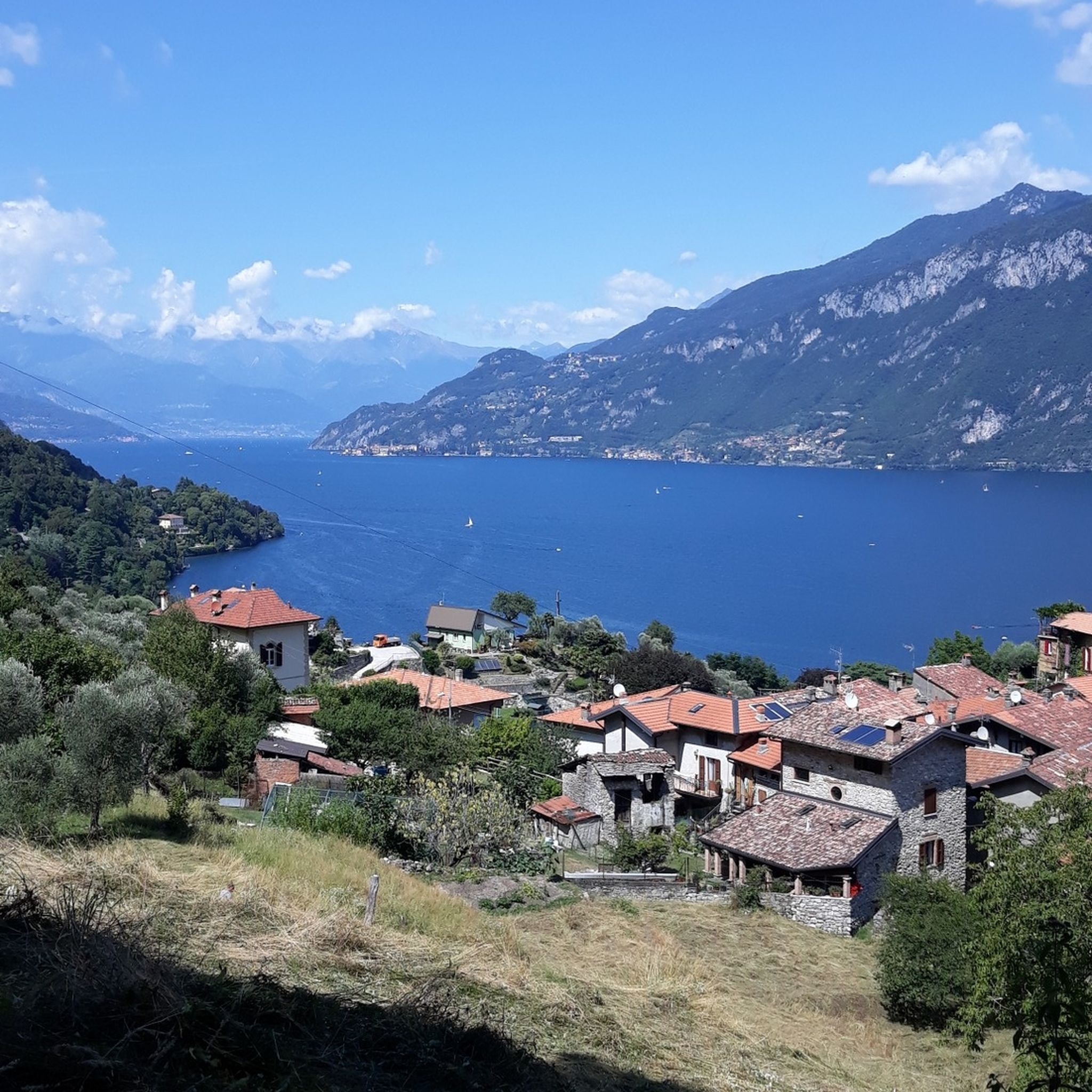
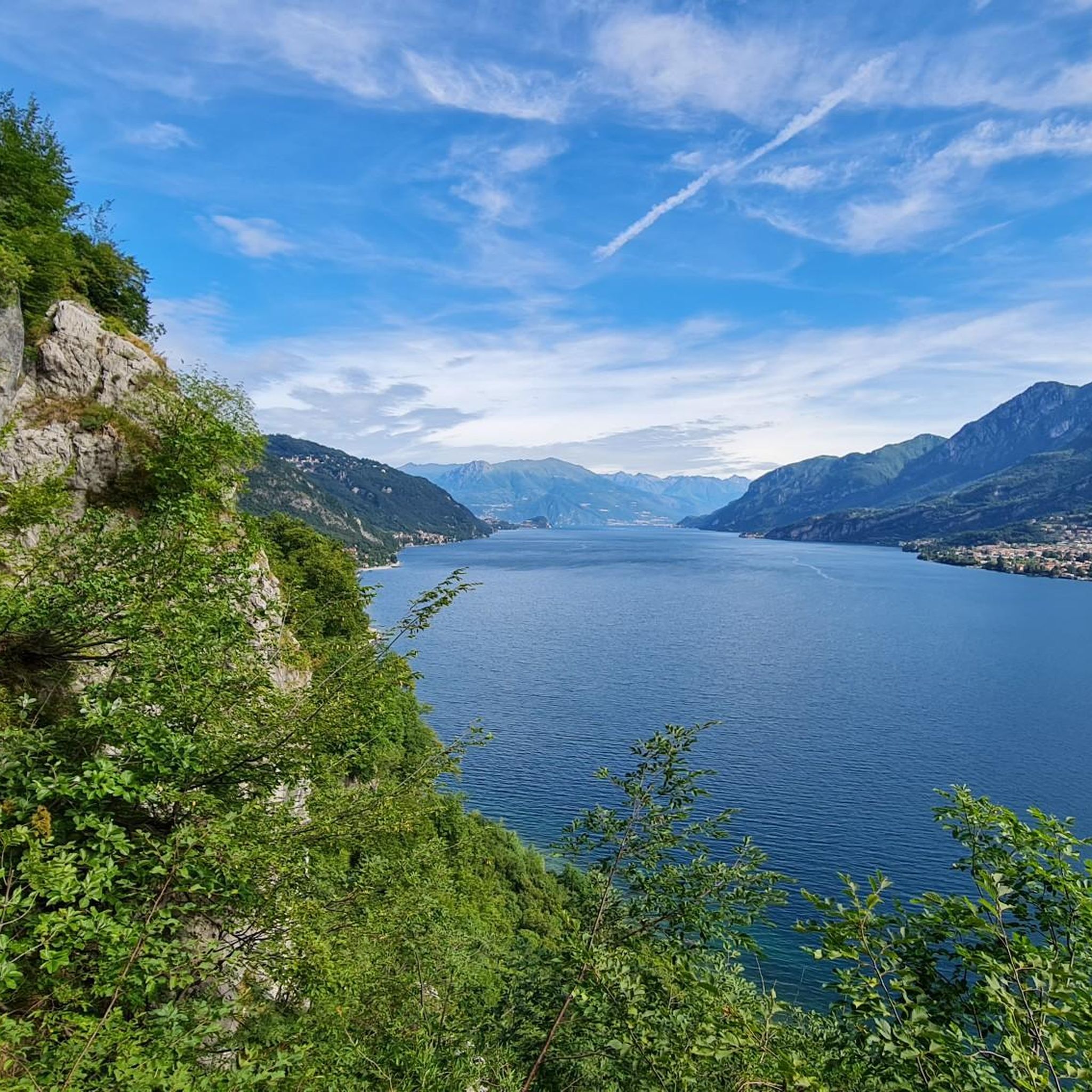

Tips from the Community

Historic mountain for the Lecco region and for all of Italy.
2
0

Site in a very beautiful and panoramic position
0
0
To be covered in winter
0
0

Ferrata reachable from Valmadrera. The progression takes place on a wall with some exposed sections, traverses on cable, but with well-visible metal holds. In the sections where the holds are further apart, the rock still offers good grips. In the second part, there are some ledges useful for resting. The panorama spans Valmadrera, Lake Lecco, Monte Barro, Lake Pusiano and Annone, and Resegone. In about 45-50 minutes, including the approach, you reach the summit of Corno Rat (924 m a.s.l.)
0
0
Via ferrata reachable from Valmadrera. The progression takes place on a wall with some exposed sections, traverses on cable, but with well-visible holds and stirrups. In the sections where the holds are further apart, the rock still offers good grips. In the second part, there are some ledges useful for resting. The panorama ranges over Valmadrera, Lake Lecco, Monte Barro, Lake Pusiano and Annone, and the Resegone. In about 45-50 minutes, including the approach, you reach the summit of Corno Rat (924 m a.s.l.).
0
0

We are now close to the Grigna, having done it both in summer and with snow, in both cases it is tiring and beautiful
0
0
Another junction found when going to the Bietti refuge
0
0
Great refuge, this year I found it closed due to a change in management. In November 2024, I ate a fantastic braised meat with polenta.
0
0
Frequently Asked Questions
How many mountaineering routes are available around Oliveto Lario?
There are over 30 mountaineering routes documented around Oliveto Lario, offering a wide range of challenging ascents and scenic traverses in the Grigne mountains.
What is the general difficulty level of mountaineering routes in Oliveto Lario?
The majority of mountaineering routes in Oliveto Lario are classified as difficult, with 28 out of 30 routes falling into this category. There are also a couple of moderate routes available. This region is known for its rugged terrain, significant elevation gain, and technical sections, making it ideal for experienced mountaineers.
Are there any circular mountaineering routes in the area?
Yes, many routes are circular. For example, consider the challenging Le Casote di Valmadrera – Monte Moregallo Summit loop from Valmadrera, which covers 6.8 km with over 900 meters of elevation gain. Another option is the Bocchetta di Prada (1,625 m) – Prada Gate loop from Parco Regionale della Grigna Settentrionale, a 12.5 km route with over 1000 meters of ascent.
What kind of terrain can I expect on mountaineering routes in Oliveto Lario?
Mountaineering routes in Oliveto Lario feature rugged dolomitic-limestone rock formations, vertical walls, and dense forests of chestnut, hornbeam, and oak. You can expect challenging ascents, sometimes with technical sections equipped with chains, and diverse landscapes shaped by glacial activity.
What are some notable natural features or landmarks to look out for?
The region offers stunning natural beauty. You can find impressive gorges like the Bellano Gorge and the Nesso Gorge, as well as beautiful waterfalls such as the Tobi Waterfall and Cenghen Waterfall. The Monte San Primo Summit and Monte Palanzone Summit offer expansive views.
Are there any routes that offer panoramic views of Lake Como?
Absolutely. The mountainous terrain around Oliveto Lario provides numerous viewpoints overlooking Lake Como and the surrounding alpine foothills. Peaks like Monte San Primo and Monte Palanzone are renowned for their extensive panoramas, which on clear days can stretch across the Larian Triangle and beyond.
What do other mountaineers enjoy most about the routes in Oliveto Lario?
The mountaineering routes in Oliveto Lario are highly rated by the komoot community, with an average score of 4.5 stars from nearly 90 reviews. Mountaineers often praise the challenging ascents, the dramatic dolomitic-limestone landscapes, and the breathtaking views over Lake Como and the Grigne Massif.
Is it possible to find guided mountaineering tours in the Lake Como area?
Yes, UIAGM/IFMGA certified mountain guides operate in the wider Lake Como area (Alto Lario Guide). They offer specialized activities including climbing, via ferrata, alpinism, and ski touring, providing expertise in risk management and high-level instruction for various skill levels.
What is the best time of year for mountaineering in Oliveto Lario?
While specific seasonal conditions vary, the region's rugged nature means that spring through autumn generally offers the most favorable conditions for mountaineering. Winter can bring snow and ice, transforming routes into more advanced alpine challenges that may require specialized equipment and experience.
Are there any family-friendly mountaineering options?
The majority of mountaineering routes in Oliveto Lario are classified as difficult, involving significant elevation gain and technical sections, making them less suitable for young children or beginners. For family-friendly outdoor activities, you might consider exploring easier hiking trails in the broader Lake Como region.
Where can I find parking for mountaineering trailheads?
Parking availability varies by trailhead. For routes starting from Lecco, such as the Rifugio Alpeggio Carlo Porta – Caminetto Pagani loop, you would typically look for parking in or near the town. For routes like the Bocchetta di Prada loop from Cortenova, parking would be found closer to the respective starting villages.
Most popular routes around Oliveto Lario
Most popular attractions around Oliveto Lario

Get inspired with the komoot mobile app


Explore more
Browse the best Mountain Hikes & Routes in other regions.
