The best mountain hikes around Pasturo
4.7
(95)
822
hikers
32
hikes
Mountaineering routes around Pasturo, located in Italy's Province of Lecco, are defined by the prominent Grigna Massif, offering diverse and challenging natural features. The region features rugged limestone cliffs, challenging vertical walls, and extensive networks of trails within the Valsassina Valley. This landscape provides varied terrain, from high-alpine environments to scenic paths leading to mountain refuges.
Best mountaineering routes around Pasturo
- The most popular mountaineering route is Rifugio Alpeggio Carlo Porta – Caminetto Pagani loop from Lecco, a 5.2…
Last updated: July 4, 2026
4.1
(12)
118
hikers
8.14km
04:48
830m
830m
Hard mountaineering route. Good fitness required. Sure-footedness, sturdy shoes and alpine experience required.
4.8
(12)
109
hikers
6.99km
04:16
820m
820m
Hard mountaineering route. Good fitness required. Sure-footedness, sturdy shoes and alpine experience required.

Sign up for free
5.0
(2)
18
hikers
17.3km
07:08
1,280m
1,280m
Hard mountaineering route. Very good fitness required. Sure-footedness, sturdy shoes and alpine experience required.
16
hikers
7.85km
04:15
660m
660m
Hard mountaineering route. Good fitness required. Sure-footedness, sturdy shoes and alpine experience required.
5.0
(1)
7
hikers
Hard mountaineering route. Good fitness required. Sure-footedness, sturdy shoes and alpine experience required.
Get access to more routes and recommendations from other explorers.
Sign up for free
Already have an account?
Our route recommendations are based on thousands of hikes, rides, and runs completed by other people on komoot.
Start today with a free account
Your next adventure awaits.
Login or Signup
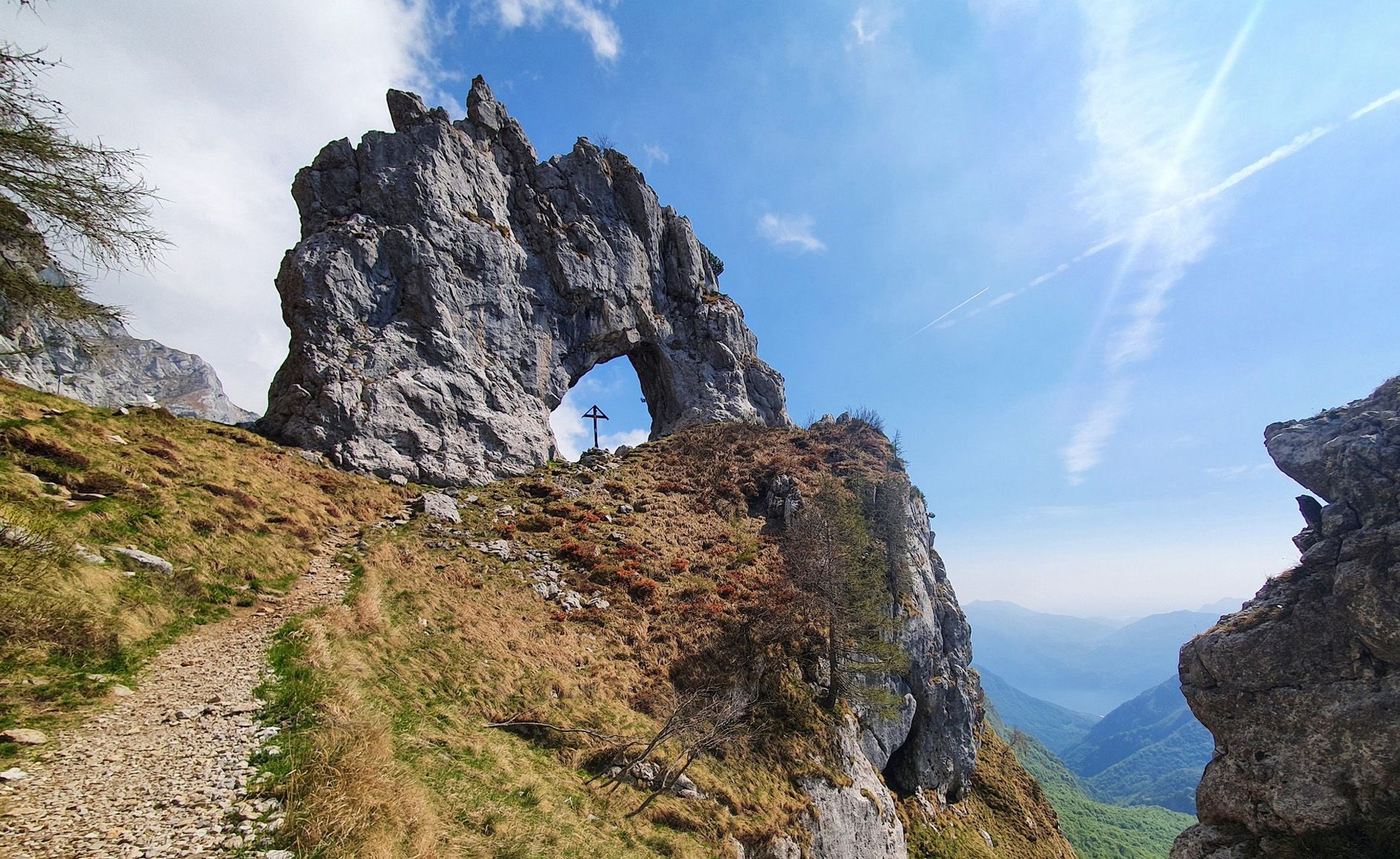
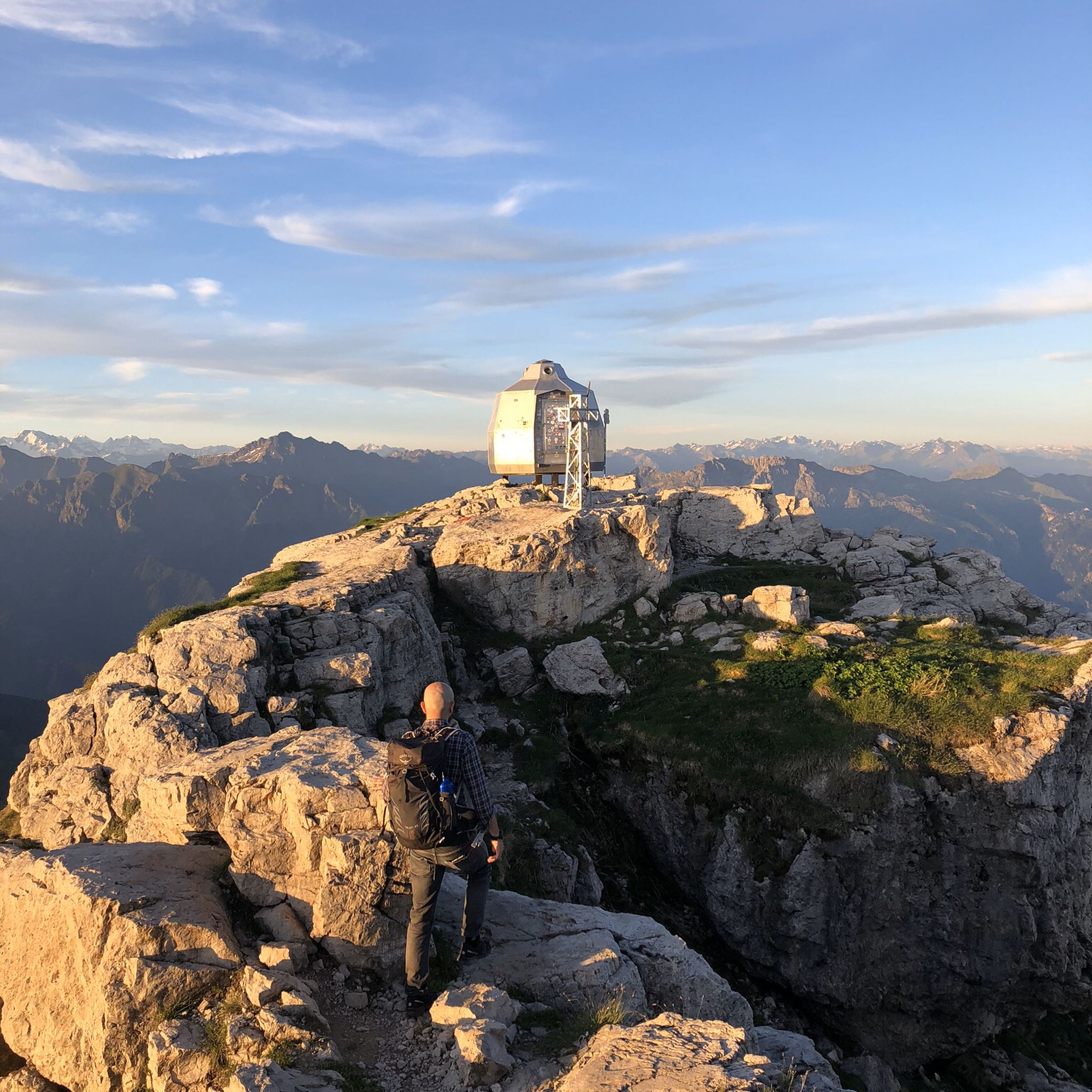
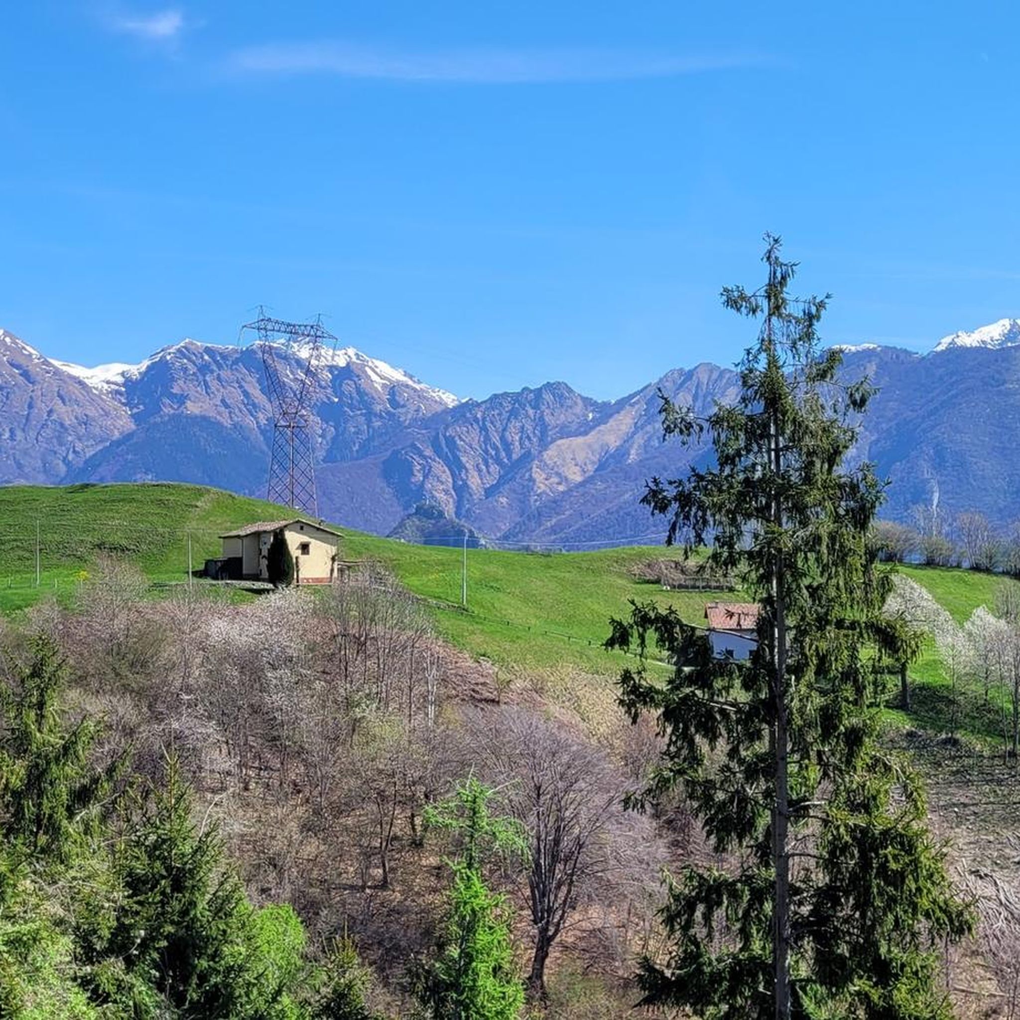

Other adventures around Pasturo

Tips from the Community

Rifugio Lecco, magnificent views from Piani di Bobbio
0
0

We passed by it during our excursion but it was closed
0
0
Magnificent beautiful and majestic
0
0
Passage point for Grignetta, excellent refuge
0
0

Crossroads after the Carlo Porta refuge. Go straight up the Cermenati ridge. To the left, take the Direttissima (EE).
0
0
Iron stairs to begin the equipped section of the direct route.
0
0

very nice, not for everyone. Walls equipped with chains and cables, can be done without a harness, but great care is still required.
1
0

Parking in Ballabio for the whole day cost about 5 euros, and from there, it was a steep climb straight away along the path through the forest and up the mountain until reaching the summit at 2,180 m. A spectacular experience. It took about 3 hours to get to the top. And the descent took another 3, but it was worth it. There is no shelter, so bring a packed lunch. Not for beginners! Expert level. Elevation gain: 900 m.
0
0
Frequently Asked Questions
How many mountaineering routes are available around Pasturo?
There are over 40 mountaineering routes around Pasturo, primarily located within the majestic Grigna Massif. The region offers a diverse range of challenging trails, with the majority being classified as difficult.
What is the general difficulty level of mountaineering in Pasturo?
Mountaineering in Pasturo is generally challenging. Out of the 41 routes, 37 are classified as difficult, and 4 as moderate. The terrain often features rugged limestone cliffs, challenging vertical walls, and significant elevation gains, making it ideal for experienced mountaineers.
Are there any beginner-friendly mountaineering routes in Pasturo?
While most routes are challenging, there are a few moderate options available. For those new to mountaineering, it's recommended to gain experience on easier trails or with a guide before tackling the more demanding ascents in the Grigna Massif. The region's climbing areas like Rocca Di Bajedo Park offer well-equipped, easier rocks for learning the basics of climbing.
What kind of natural features and landmarks can I expect to see on the routes?
The routes in Pasturo are dominated by the spectacular Grigna mountain group, offering breathtaking rock formations like Sasso Remenno and the challenging vertical walls of Monte Coltignone. Many high-altitude locations provide spectacular views of Lake Como and the surrounding plains. You might also encounter mountain refuges such as the Luigi Azzoni Hut or the Rosalba Hut.
Are there any circular mountaineering routes in Pasturo?
Yes, many routes in Pasturo are circular, allowing you to start and end at the same point. An example is the Zuccone Campelli Summit – Canale della Madonna loop from Scuola di Sci Barzio Piani di Bobbio - Valtorta, which offers a challenging ascent and descent.
What do other mountaineers enjoy most about the routes in Pasturo?
The mountaineering routes around Pasturo are highly rated by the komoot community, with an average score of 4.7 stars. Reviewers often praise the stunning panoramic views, the challenging and diverse terrain of the Grigna Massif, and the well-maintained network of trails leading to various mountain huts and viewpoints.
Are there any waterfalls or other water features along the mountaineering trails?
While the primary focus is on mountain ascents, the broader region around Pasturo does feature some beautiful water attractions. You can find highlights like the Cenghen Waterfall or the Sprizzotolo Waterfall, which might be accessible as detours or part of other hiking routes in the area.
What is the best season for mountaineering in Pasturo?
The best time for mountaineering in Pasturo is typically from late spring to early autumn (May to October), when the weather is more stable and the trails are generally free of snow. Some high-alpine routes may still have snow patches in early summer. Winter mountaineering is possible but requires specialized gear and experience due to snow, ice, and colder conditions.
Are there any long-distance or multi-day mountaineering options?
Yes, the region offers possibilities for longer traverses. For instance, demanding high-alpine two-day traverses like the Grigne-Traversata to Rifugio Brioschi are popular among experienced mountaineers, crossing both Grignetta and Grignone.
Can I find accommodation or places to eat near the mountaineering routes?
Yes, the region is well-equipped with facilities. Mountain huts like the Luigi Azzoni Hut and Rifugio Rosalba offer food and overnight accommodation directly on the mountains. In Pasturo and surrounding villages, you'll find various restaurants and cafes.
What is a challenging mountaineering route I could consider in Pasturo?
For experienced mountaineers seeking a challenge, the Rifugio Campei – Rifugio Cima Grappa loop from Barzio is a demanding option. This route covers over 18 kilometers with significant elevation gain, offering a true test of endurance and skill within the Grigna Massif.
Most popular routes around Pasturo
Most popular attractions around Pasturo

Get inspired with the komoot mobile app


Explore more
Browse the best Mountain Hikes & Routes in other regions.
