The best mountain hikes around Moio De' Calvi
4.8
(14)
108
hikers
6
hikes
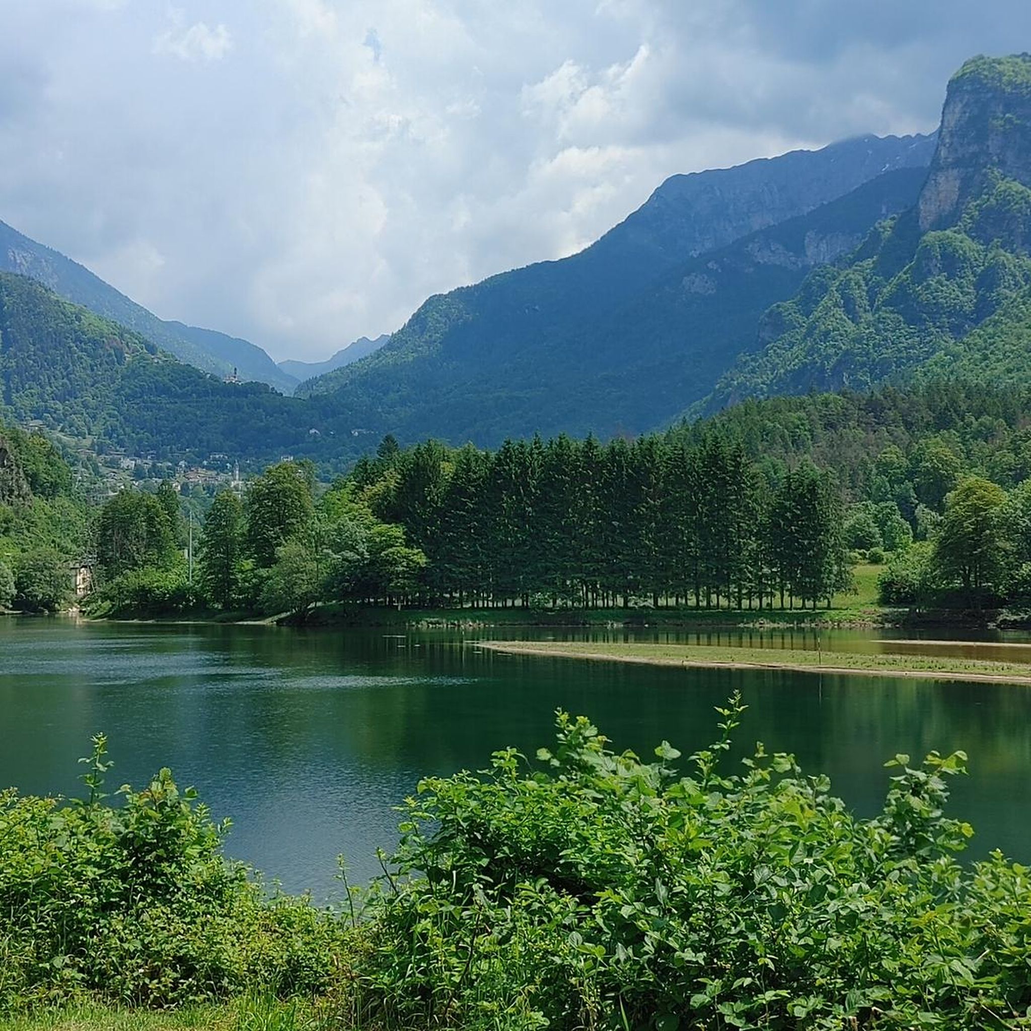
Mountaineering around Moio De' Calvi offers access to the rugged mountainous terrain of the Val Brembana in Italy's Lombardy region. The landscape features majestic peaks, thick woods, and green pastures, providing a diverse environment for high-altitude exploration. Notable natural features include alpine lakes like Laghi Gemelli and the Val Sambuzza waterfall, which are integral to many routes. This area is characterized by its challenging alpine environments and panoramic passes, ideal for experienced mountaineers.
Best mountaineering routes around Moio De' Calvi
…Last updated: May 24, 2026
4.5
(8)
55
hikers
10.7km
06:52
1,270m
1,270m
Hard mountaineering route. Very good fitness required. Sure-footedness, sturdy shoes and alpine experience required.
5.0
(1)
18
hikers
7.69km
03:29
660m
660m
Moderate mountaineering route. Good fitness required. Mostly accessible paths. Sure-footedness required.

Sign up for free
6
hikers
Hard mountaineering route. Very good fitness required. Sure-footedness, sturdy shoes and alpine experience required.
5.0
(1)
5
hikers
15.5km
07:56
1,310m
1,310m
Hard mountaineering route. Very good fitness required. Sure-footedness, sturdy shoes and alpine experience required.
3
hikers
11.5km
07:56
1,260m
1,260m
Hard mountaineering route. Very good fitness required. Sure-footedness, sturdy shoes and alpine experience required.
Our route recommendations are based on thousands of hikes, rides, and runs completed by other people on komoot.
Start today with a free account
Your next adventure awaits.
Login or Signup
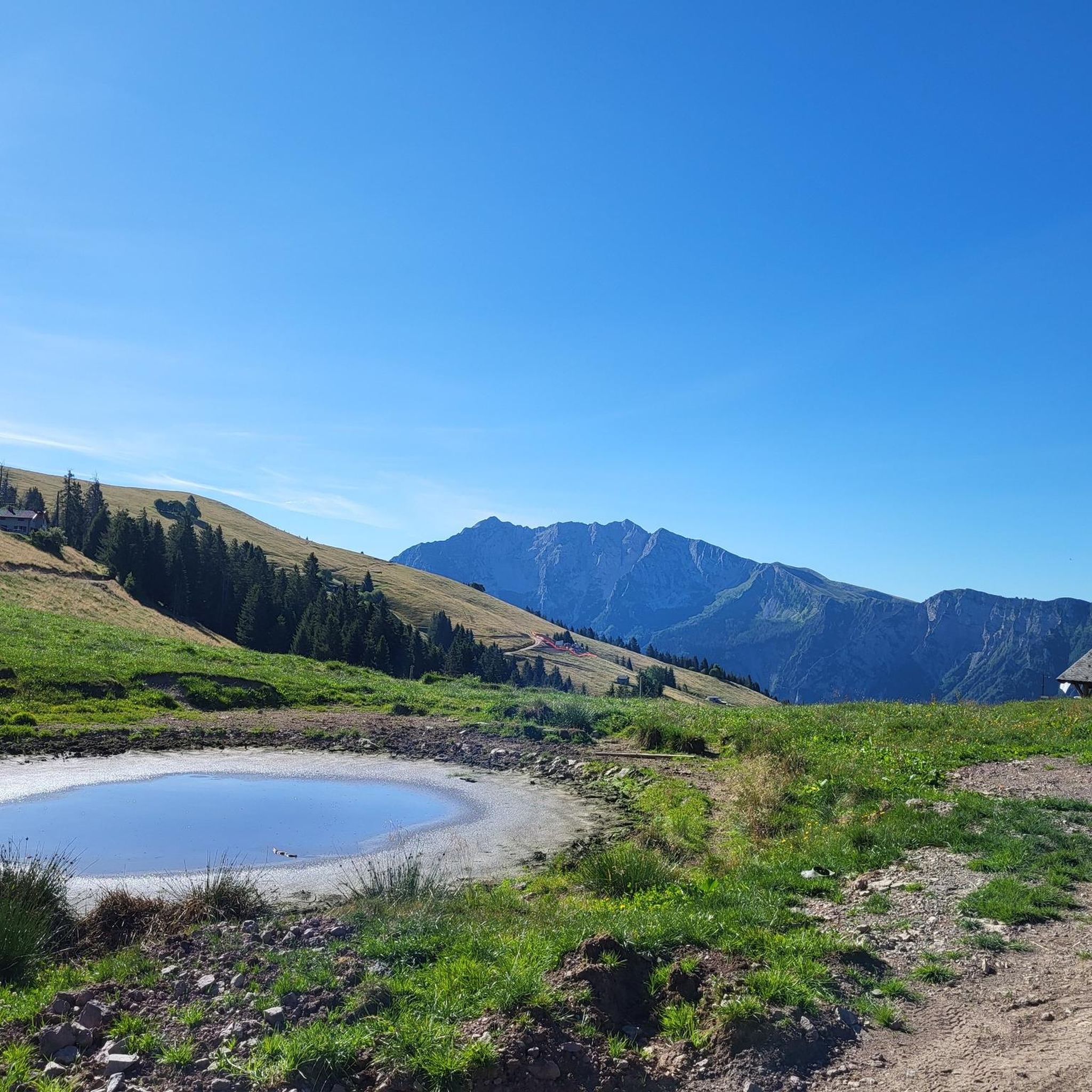
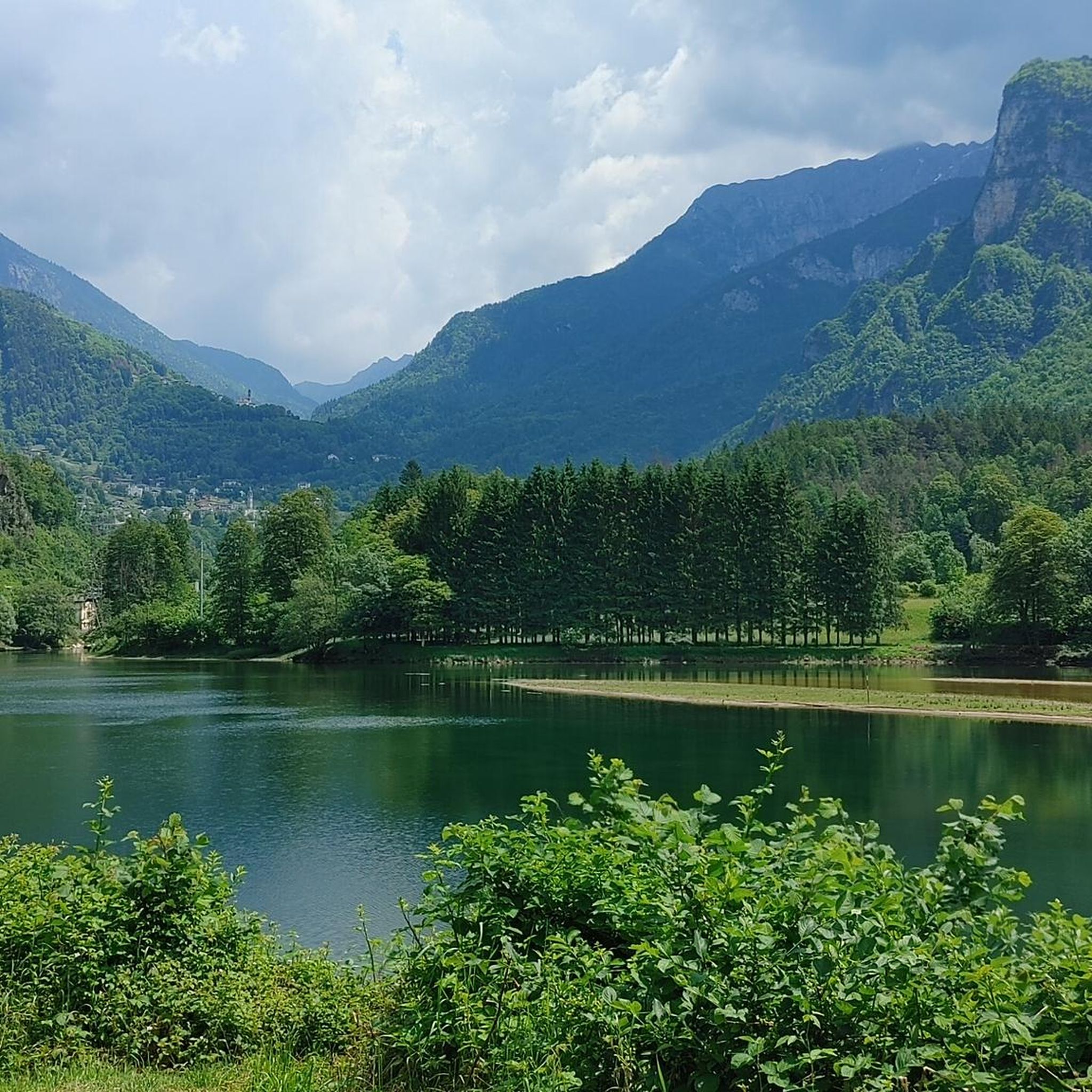
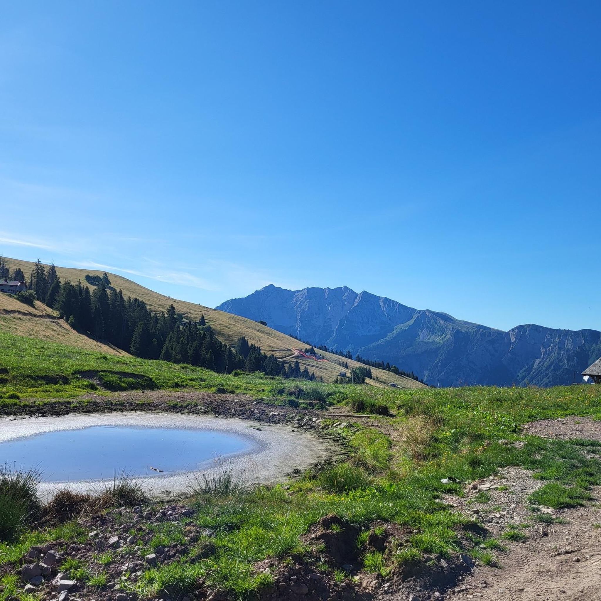
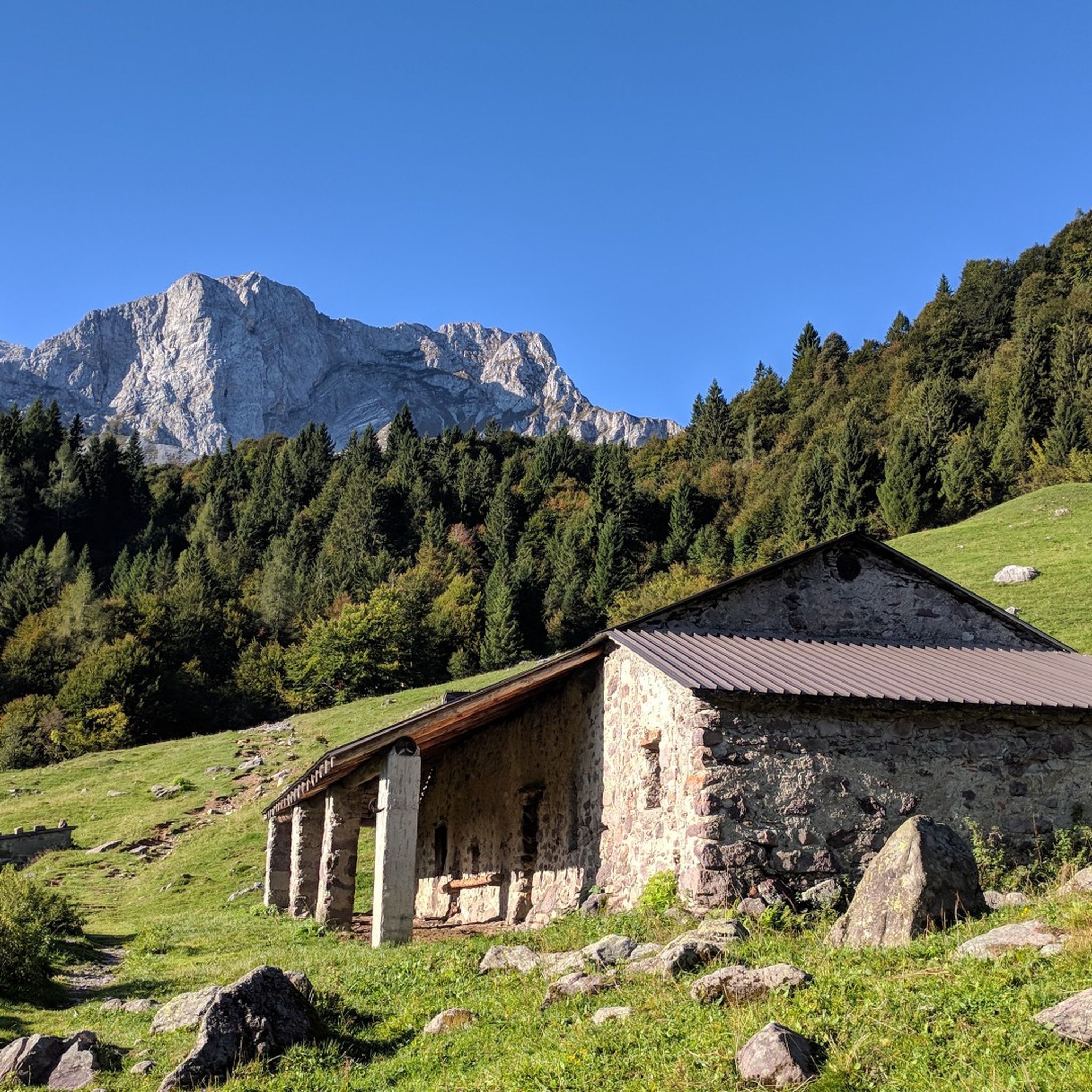

Tips from the Community

On the summit of Pizzo Arera there is a cast iron cross that stands out against the fantastic panorama of the Orobie.
0
0

A 2300-meter peak offering a good view of the Bergamo Orobie mountains and, on a clear day, the Alps. Reachable from Zorzone via trail 234.
0
0

departure point for excursions, the most popular being the flower trail. Be careful to display the ticket that can be purchased at the start of the climb.
0
0

very nice trekking, from Capanna 2000 you go up to the summit cross, a route that is not impossible but not suitable for everyone.
0
1

As of today (2025) only the remains remain
0
0

Excellent starting point for numerous trips in the area.
0
0

Wonderful area nestled between the rocky peaks of the surrounding peaks, in particular the Arera and the Corna Piana. The area is mainly rocky, easy to reach even if it requires a minimum of training. The most fascinating aspect is the landscape, you find yourself in a very natural and at times wild environment, where you also have to pay attention to small ravines which are often not immediately visible but equally dangerous! Especially in the presence of snow which masks them further.
0
0

Attack of the North canal of Pizzo Arera, in the Mandrone Valley.
0
0
Frequently Asked Questions
What kind of terrain can I expect on mountaineering routes around Moio De' Calvi?
The terrain in the Moio De' Calvi area, part of the Bergamo Orobie Alps, is rugged and diverse. You'll encounter majestic peaks, thick woods, and green pastures. Routes often feature challenging alpine environments, panoramic passes, and can lead past natural attractions like alpine lakes and waterfalls. The region offers a true high-mountain experience.
Are there any circular mountaineering routes in Moio De' Calvi?
Yes, many mountaineering routes in Moio De' Calvi are circular. For example, the Pagliari Historic Village – Val Sambuzza Waterfall loop from Carona is a challenging 16.5 km route. Another popular option is the moderate Capanna 2000 Mountain Hut loop from Zambla Bassa, which is 8.5 km long. The Rifugio Gemelli loop from Carona also offers a challenging 11.3 km circular tour through alpine environments.
What natural features or landmarks can I see along the mountaineering routes?
The routes around Moio De' Calvi are rich in natural beauty. You can encounter alpine lakes like Laghi Gemelli, which are featured on the Laghi Gemelli loop from Bar Ötzi. The Val Sambuzza Waterfall is another notable natural monument, visible on the Pagliari Historic Village – Val Sambuzza Waterfall loop. The region is also home to prominent peaks such as Cima di Grem and Cima La Croce (Monte Alben), and numerous mountain passes like Branchino Pass and Zambla Pass.
Are there mountain huts available for overnight stays or refreshments?
Yes, the Moio De' Calvi area is well-equipped with mountain huts, or 'rifugi,' which are crucial for multi-day treks and offer places to rest and refuel. Notable huts include the Fratelli Calvi refuge, Fratelli Longo refuge, and the Marco Balicco Mountain Hut. The Capanna 2000 Mountain Hut loop from Zambla Bassa leads directly to one of these well-known huts.
What is the best time of year for mountaineering in Moio De' Calvi?
The best time for mountaineering in Moio De' Calvi is generally during the warmer months, from late spring to early autumn, when trails are clear of snow and weather conditions are more stable. This allows access to higher altitudes and offers the most pleasant hiking experience. Some waterfalls, like Val Sambuzza, are particularly refreshing in summer and can be seen frozen in winter.
What are the difficulty levels of mountaineering routes in this area?
Mountaineering routes around Moio De' Calvi cater to varied experiences, primarily offering moderate to difficult challenges. Out of 11 routes, 2 are rated as moderate, and 9 are difficult. This makes the area ideal for experienced mountaineers seeking challenging alpine environments and panoramic passes.
Are there any routes that offer views of prominent peaks?
Many routes in the region offer views of prominent peaks within the Orobie Alps. For instance, the Cima di Menna loop from Oltre il Colle is a challenging route that provides extensive views of the surrounding mountainous landscape, including peaks like Cima di Grem and Cima La Croce (Monte Alben).
What do other mountaineers say about the routes in Moio De' Calvi?
The mountaineering routes in Moio De' Calvi are highly regarded by the komoot community, with an average rating of 4.8 stars from over 20 reviews. Mountaineers often praise the challenging alpine environments, the stunning natural features like alpine lakes and waterfalls, and the rewarding panoramic views from the passes.
Are there any long-distance trekking options that pass through Moio De' Calvi?
Yes, Moio De' Calvi is situated within the extensive trail networks of the Orobie Alps, which include long-distance trekking routes. The 160 km Orobie ring and the 130 km Gran Via delle Orobie are significant routes that utilize old mule tracks and Great War paths, often divided into stages that connect various mountain refuges in the region.
Is it possible to find less crowded mountaineering trails in the area?
While some routes are popular, the vast network of over 1,000 km of trails in the Orobie Alps around Moio De' Calvi means it's possible to find less crowded options, especially outside of peak season or by exploring some of the more challenging or lesser-known paths. Consulting local maps and guides can help identify quieter routes.
What kind of wildlife might I encounter on the trails?
The diverse habitats of the Orobie Alps support rich biodiversity. While mountaineering, you might spot animals such as the white partridge and the golden eagle. The forests are home to various tree species including beech, larch, spruce, and silver fir, adding to the natural experience.
Most popular routes around Moio De' Calvi
Most popular attractions around Moio De' Calvi

Get inspired with the komoot mobile app


Explore more
Browse the best Mountain Hikes & Routes in other regions.
