The best walks and hikes around Toppenstedt
4.6
(2937)
12,066
hikers
34
hikes
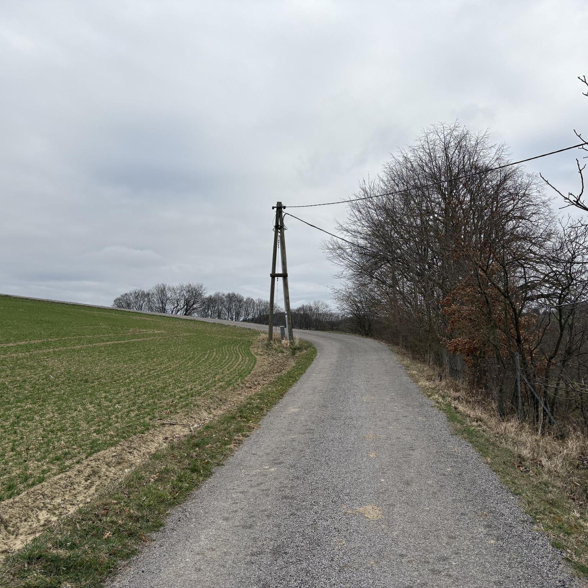
Hiking around Toppenstedt offers access to diverse natural landscapes within the Harburg district of Lower Saxony, Germany. The municipality is situated at the edge of the Lüneburg Heath Nature Park, characterized by extensive heathlands, moors, and clear streams. The region also features the Toppenstedter Forest, known for its wood-rush beech forest areas shaped by the ice age. These physical features provide varied terrain for outdoor activities.
Best hiking trails around Toppenstedt
- The most popular hiking route is Beech Forests Near…
Last updated: October 7, 2026
4.6
(5)
27
hikers
7.29km
01:52
30m
30m
Easy hike. Great for any fitness level. Easily-accessible paths. Suitable for all skill levels.
4.2
(5)
8
hikers
15.6km
04:07
140m
140m
Moderate hike. Good fitness required. Easily-accessible paths. Suitable for all skill levels.

4.8
(5)
19
hikers
4.82km
01:14
20m
20m
Easy hike. Great for any fitness level. Easily-accessible paths. Suitable for all skill levels.
4.0
(3)
6
hikers
Moderate hike. Good fitness required. Easily-accessible paths. Suitable for all skill levels.
5.0
(1)
12
hikers
Easy hike. Great for any fitness level. Easily-accessible paths. Suitable for all skill levels.
Get access to more routes and recommendations from other explorers.
Already have an account?
Our route recommendations are based on thousands of hikes, rides, and runs completed by other people on komoot.
Start today with a free account
Your next adventure awaits.
Tips from the Community

The only hut on the Trail of Moments. Thanks, Jochen!
1
1

Just let your feet dangle.
0
0
The Iron Cross is not a purely National Socialist symbol, but has a much longer and more varied history. It is a German military decoration that was first established in 1813 by King Frederick William III of Prussia during the Wars of Liberation against Napoleon. It was later awarded in various conflicts such as the Franco-Prussian War and the World Wars. Historical classification: The Iron Cross originally served as a symbol of bravery and merit in war and was independent of political ideology. However, during the Nazi era (1933–1945), the Iron Cross was awarded in a modified form, often combined with the swastika, which burdened it in this particular variant. Today: The Iron Cross continues to be a symbol of the Bundeswehr, albeit in a denazified form without the swastika. It is used as the official identification symbol of the German armed forces and today stands for tradition and modern defense. Conclusion: The Iron Cross is not a National Socialist symbol per se, but a historical badge that was misused during the Nazi era. However, its original meaning goes far beyond that.
1
0

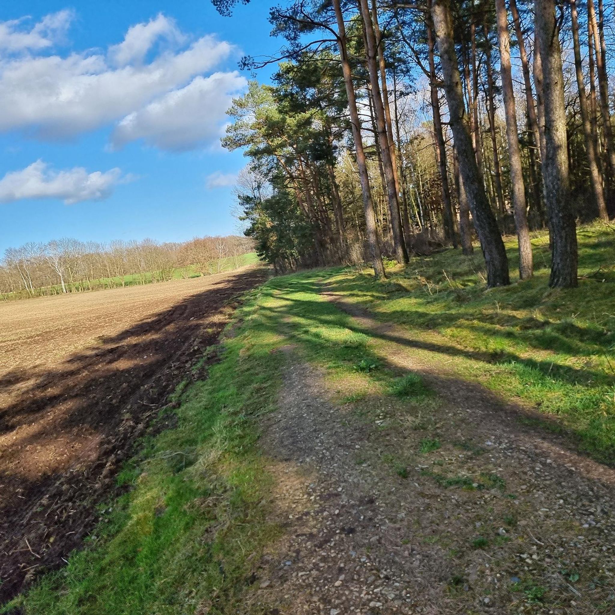
A bench, a small pond and if the weather is right - what more could you want.
0
0
in honor of the Emperor's Majesty. Freedom stone to ward off the enemy from the fatherland. 1813 - 1913
0
0

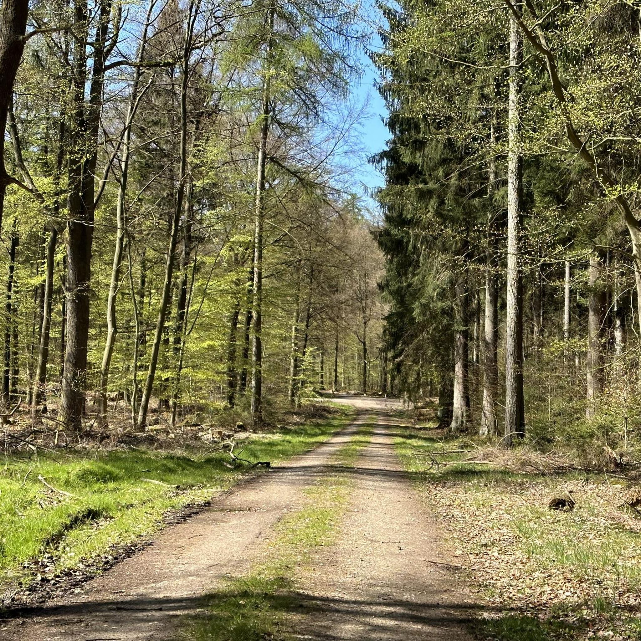
Parking lot near the A7 motorway - Toppenstedter Wald nature reserve 🌳🌲🌳
0
1

The second stage of the “Wilde 13” long-distance hiking trail also runs nearby. The “Wilde 13” is not signposted or marked, but can only be hiked using a GPX file using the following link: www.dav-hamburg.de/dav/Wilde13 (as of March 2024).
0
0
Frequently Asked Questions
How many hiking trails are available around Toppenstedt?
There are over 35 hiking trails around Toppenstedt, offering a variety of experiences for different skill levels. The komoot community has highly rated these routes, with an average score of 4.6 stars from over 2600 reviews.
What kind of terrain can I expect on hikes near Toppenstedt?
The region around Toppenstedt, situated at the edge of the Lüneburg Heath Nature Park, offers a diverse landscape. You can expect to find extensive heathlands, tranquil moors, and clear heath streams. Many trails lead through near-natural deciduous forests, particularly beech forests, and coniferous forests, often featuring rolling hills and geological formations from the Ice Age.
Are there easy hiking trails suitable for beginners or casual walkers in Toppenstedt?
Yes, Toppenstedt offers a good selection of easy trails, with 20 routes categorized as easy. A great option is the Vossbur Guesthouse – Tangendorfer Ponds loop from Tangendorf, which is an easy 3.0-mile (4.8 km) path leading through natural surroundings.
Are there any circular hiking routes around Toppenstedt?
Many of the trails in Toppenstedt are designed as circular routes, allowing you to start and end at the same point. For example, the popular Beech Forests Near Quarrendorf – Jochen's Hut loop from Toppenstedt is a moderate 9.7-mile (15.6 km) circular trail exploring extensive beech forests.
What natural features or landmarks can I see along the hiking trails?
Hikers can discover a variety of natural features and points of interest. The region is known for its extensive heathlands, tranquil moors, and clear heath streams. You might also encounter ancient grave hills and large boulders from the Ice Age. Specific highlights include the Weseler Bach Ponds and the picturesque Fairy Tale Forest Pond (Märchenwaldteich).
Are there any viewpoints or scenic spots on the hikes?
While specific named viewpoints are not abundant, the diverse landscape itself offers many scenic spots, particularly across the open heathlands and within the dense forests. The Heidschnuckenweg, a famous long-distance trail passing nearby, is known for its colourful scenery, especially in autumn. You can also find tranquil spots like the Rest area at the Radbruch fish pond.
Are the hiking trails around Toppenstedt suitable for families with children?
Yes, many trails are suitable for families. With 20 easy routes available, you can find shorter, less challenging paths. The Spatzerteich – Bench With a View of the Pond loop from Toppenstedt is an easy 2.6-mile (4.2 km) route that could be a good option for a family outing.
What is the best time of year to go hiking in Toppenstedt?
The Lüneburg Heath region, including Toppenstedt, is particularly beautiful in late summer (August and September) when the heather is in full bloom, painting the landscape in vibrant purple hues. Spring offers fresh greenery and blooming wildflowers, while autumn provides stunning foliage in the beech forests. Winter hiking can also be peaceful, especially after a snowfall.
Is there public transport access to hiking trails in Toppenstedt?
Toppenstedt is a municipality in the district of Harburg, Lower Saxony. While specific public transport links directly to trailheads might vary, the area is generally accessible. It's advisable to check local bus schedules to nearby villages or starting points for the most convenient access to specific routes.
What are the most common types of forests found in the Toppenstedt area?
The Toppenstedt area is characterized by a mix of near-natural deciduous forests and coniferous forests. The Toppenstedter Forest, in particular, is known for its wood-rush beech forest areas, which were shaped by the Ice Age. These diverse forest types contribute to varied and engaging hiking experiences.
Are there any challenging hikes for experienced hikers?
While most trails are easy to moderate, there is one route categorized as difficult among the 35 available. For those seeking a longer, more moderate challenge, the Meadow of the Hohenholzbach – Embracing Beech Trees loop from Toppenstedt is a 5.2-mile (8.4 km) trail that takes about 2 hours 11 minutes to complete, leading through meadows and beech woodlands.
Most popular routes around Toppenstedt
Most popular attractions around Toppenstedt

Get inspired with the komoot mobile app


Explore more
Browse the best Hikes in other regions.
