The best mountain hikes around Costa Valle Imagna
4.7
(29)
262
hikers
9
hikes
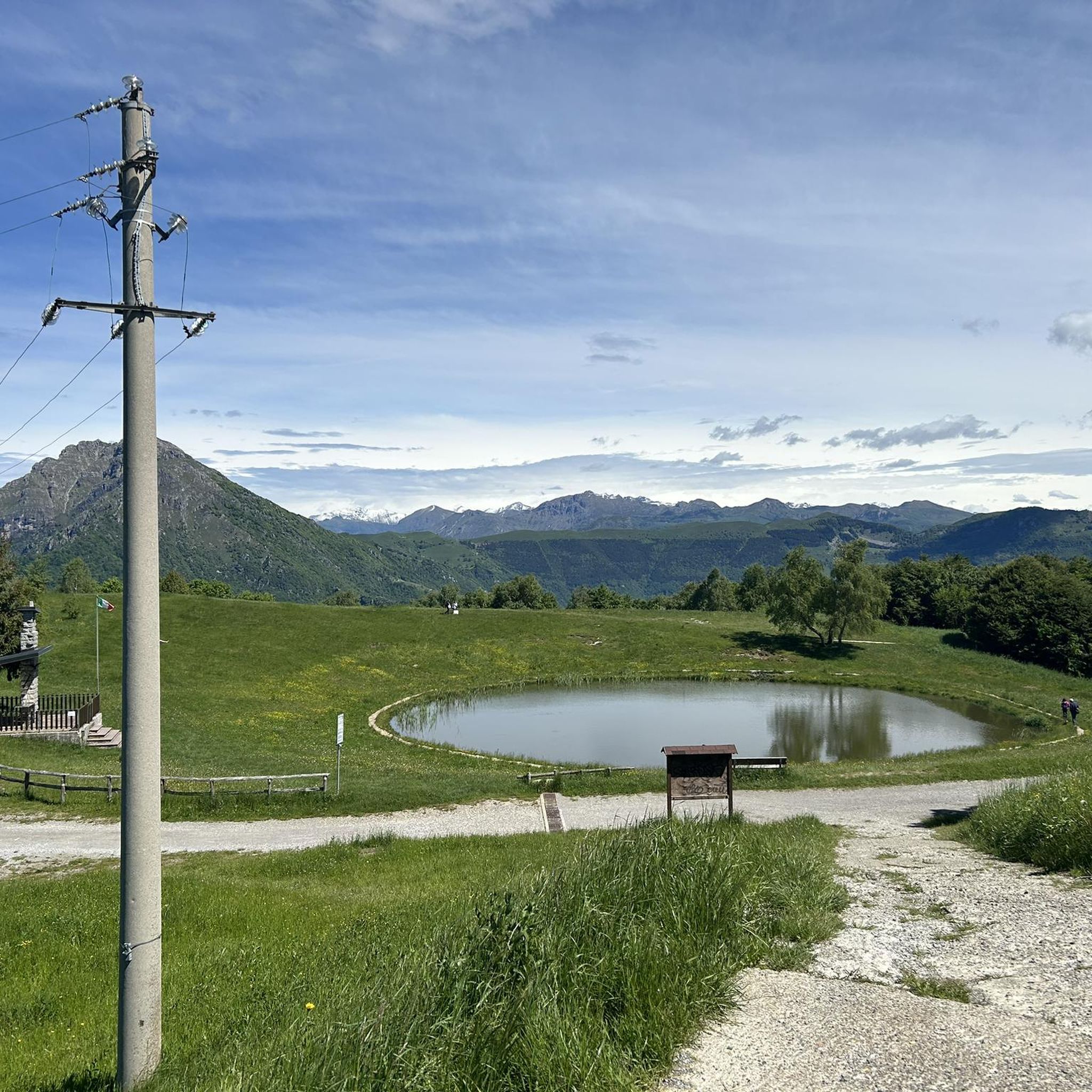
Mountaineering routes around Costa Valle Imagna are situated in the Bergamo Prealps, Lombardy, Italy, characterized by diverse terrain. The region features lush green valleys, rolling hills, and dramatic mountain ranges, including prominent peaks like Monte Resegone and Monte Linzone. Trails often traverse dense forests of beeches and birches, as well as green meadows, providing varied experiences for mountaineers.
Best mountaineering routes around Costa Valle Imagna
- The most popular mountaineering route is Ferrata Gamma 2 Summit – View From Resegone loop…
Last updated: May 23, 2026
4.3
(6)
69
hikers
12.3km
08:06
1,280m
1,280m
Hard mountaineering route. Very good fitness required. Sure-footedness, sturdy shoes and alpine experience required.
5.0
(2)
23
hikers
Hard mountaineering route. Very good fitness required. Sure-footedness, sturdy shoes and alpine experience required.

Sign up for free
5.0
(5)
19
hikers
6.17km
03:12
420m
420m
Hard mountaineering route. Good fitness required. Sure-footedness, sturdy shoes and alpine experience required.
4.7
(3)
15
hikers
5.04km
04:41
660m
660m
Hard mountaineering route. Good fitness required. Sure-footedness, sturdy shoes and alpine experience required.
4.0
(1)
8
hikers
3.30km
02:42
410m
410m
Hard mountaineering route. Good fitness required. Sure-footedness, sturdy shoes and alpine experience required.
Get access to more routes and recommendations from other explorers.
Sign up for free
Already have an account?
Our route recommendations are based on thousands of hikes, rides, and runs completed by other people on komoot.
Start today with a free account
Your next adventure awaits.
Login or Signup
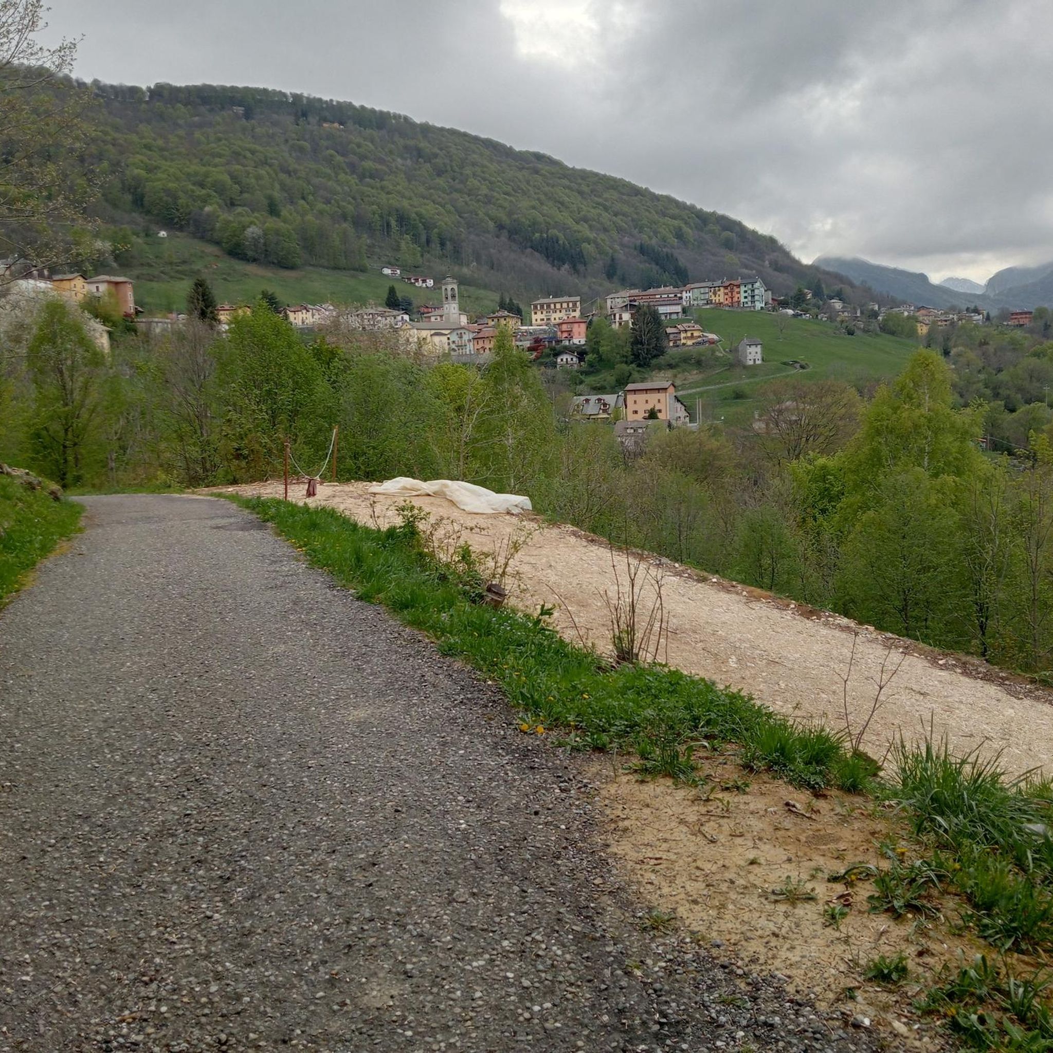
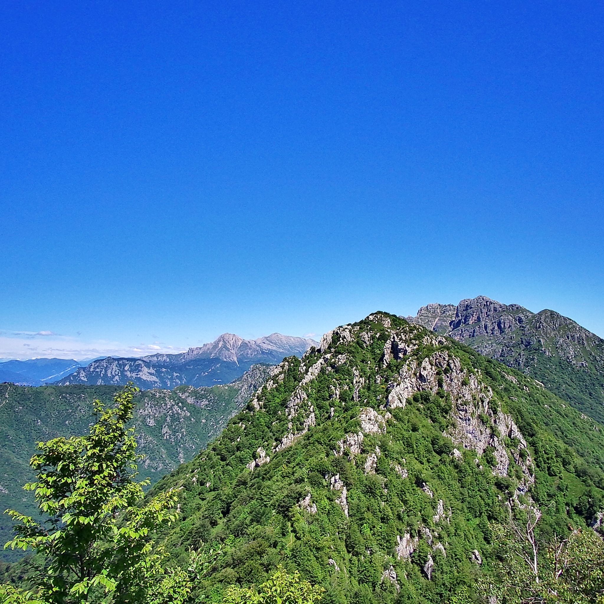
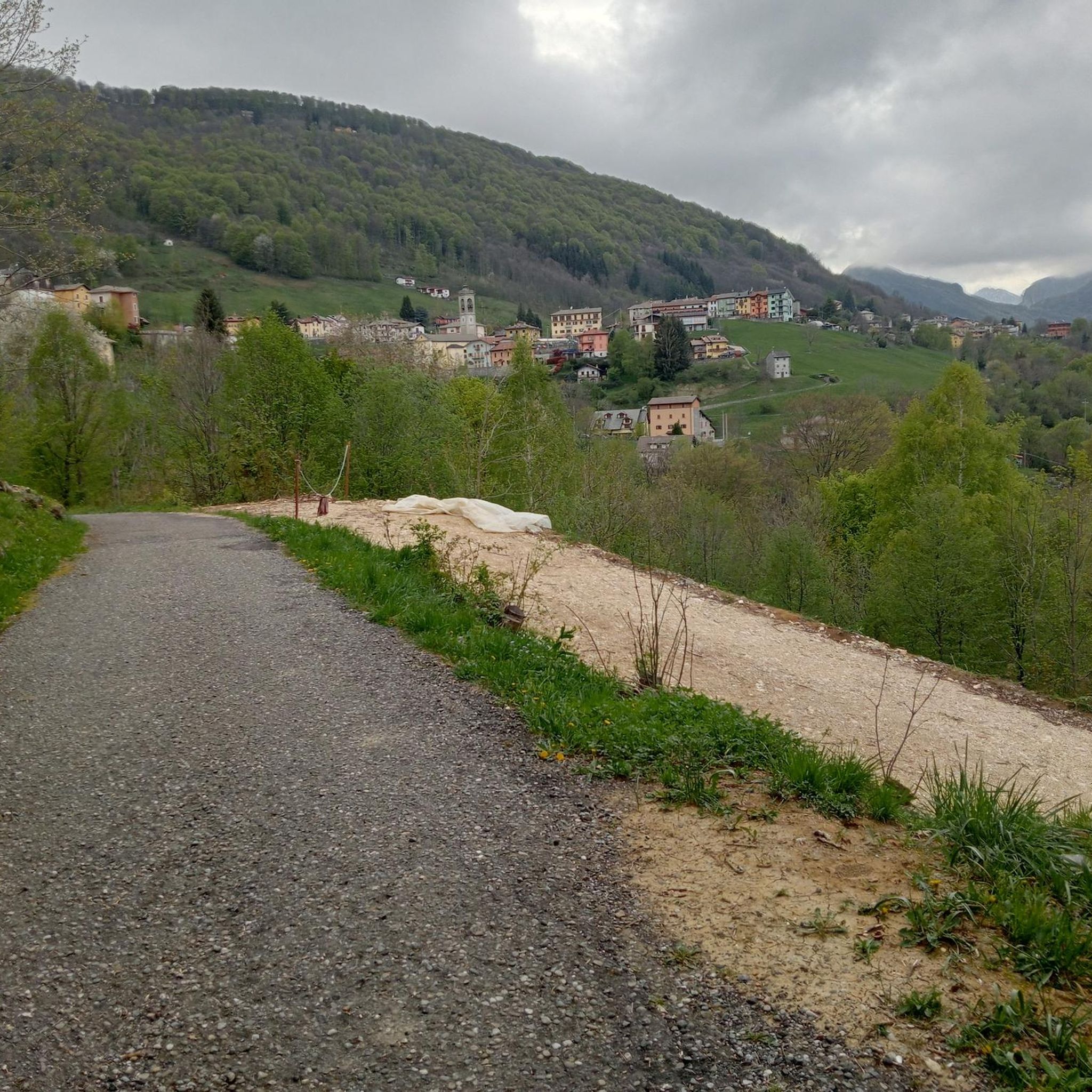
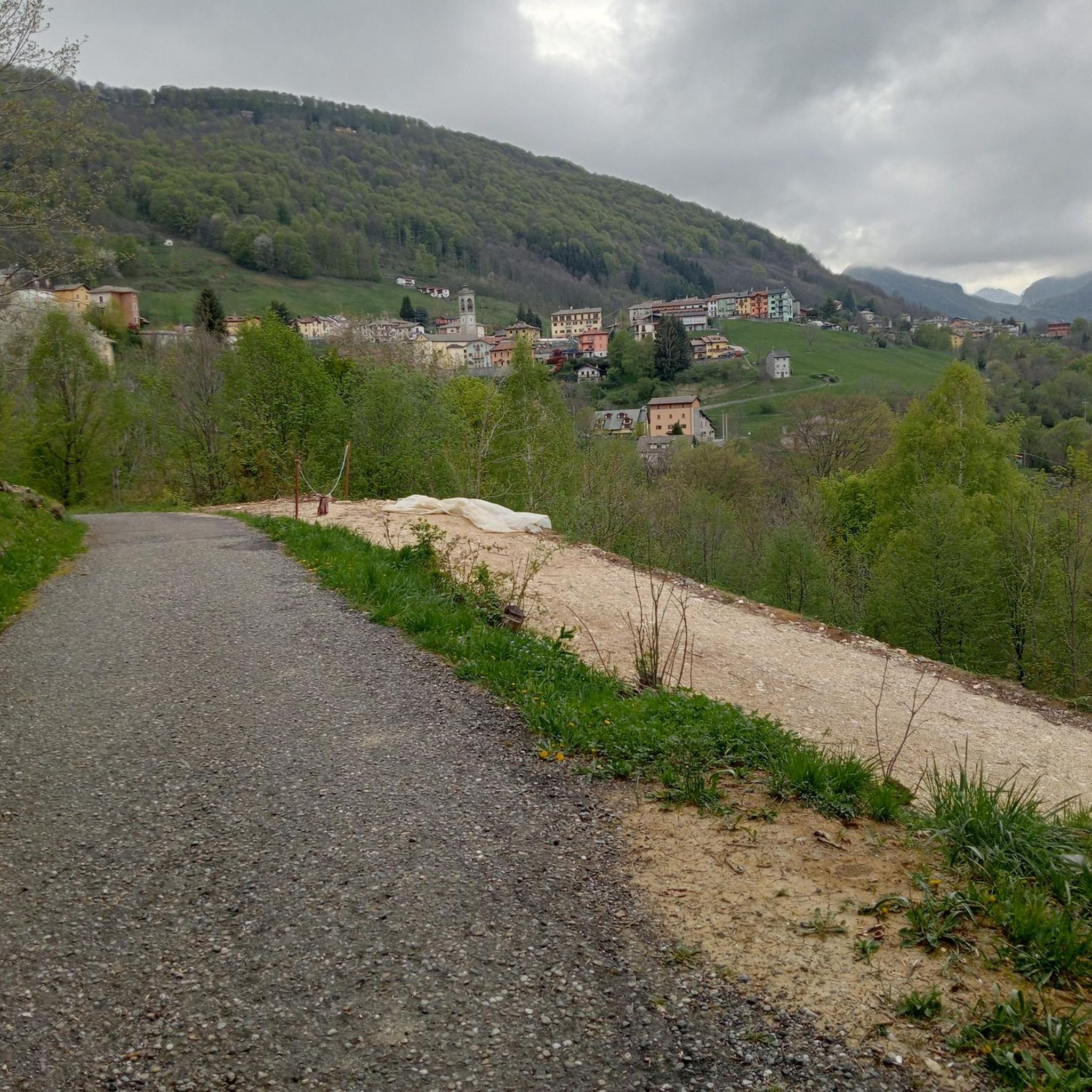

Tips from the Community

one of the most beautiful views of the lake and Lecco!
0
0

Spectacular view towards the tip of Lake Lecco, Grigna and Resegone
0
0

A crossroads for many Resegone routes. Very famous for being the reference point for the centenary via ferrata.
0
0

Watch out for ticks... last year's experience
0
0

The via ferrata and path are currently completely closed!!
0
0

Great get together, always lots of friends!
1
0


Abandoned convent, I saw that there is also a road, I don't know if it is still open, I only went a bit then took the road to the woods
0
0
Frequently Asked Questions
What is the typical difficulty level of mountaineering routes in Costa Valle Imagna?
The mountaineering routes in Costa Valle Imagna are generally considered challenging. All 11 routes listed in this guide are rated as 'difficult', requiring good fitness, sure-footedness, and sturdy shoes. For example, the Ferrata Gamma 2 Summit – View From Resegone loop from Piani d'Erna involves significant elevation gain and alpine experience.
What kind of elevation gain can I expect on these mountaineering routes?
Mountaineering routes in Costa Valle Imagna feature substantial elevation gains. For instance, the View From Resegone – Stone Water Fountain loop from Piani d'Erna has an elevation gain of approximately 1,290 meters. Even shorter routes like the Mountaineering loop from Piani d'Erna can involve around 689 meters of ascent.
What natural landmarks or viewpoints can I expect to see on these routes?
The region offers breathtaking panoramic views from various peaks. You can expect to see the expansive Bergamo plain, Lake Lecco, and the majestic Orobie Mountains. Notable viewpoints include the Summit of Resegone and the Monte Linzone Summit. The Pertüs Pond also adds to the scenic beauty.
Are there any circular mountaineering routes available?
Yes, many of the mountaineering routes in Costa Valle Imagna are circular, allowing you to return to your starting point without retracing your steps. Examples include the Ferrata Gamma 2 Summit – View From Resegone loop from Piani d'Erna and the Crest Trail on Monte Due Mani – Mount Two Hands Ridge loop from Piani d'Erna.
What do other mountaineers enjoy most about the routes in Costa Valle Imagna?
The mountaineering routes in Costa Valle Imagna are highly rated by the komoot community, with an average score of 4.7 stars from over 20 reviews. Mountaineers often praise the challenging ascents, the diverse terrain including dense forests and green meadows, and the expansive views of Lake Lecco and the Orobie Mountains from the summits.
Are there any huts or resting points along the mountaineering routes?
Yes, the Luigi Azzoni Hut, located at 1,860 meters on Monte Resegone, serves as a significant landmark and a resting point for many routes in the area. It provides a welcome stop during challenging ascents.
What is the best time of year for mountaineering in Costa Valle Imagna?
The region is generally best explored during seasons with stable weather conditions, typically late spring to early autumn. This period offers clearer trails, more pleasant temperatures, and better visibility for enjoying the panoramic views. Winter mountaineering is possible but requires specific equipment and experience due to snow and ice.
Are the mountaineering routes suitable for dogs?
While many trails in the region are dog-friendly, the challenging nature and significant elevation gains of these specific mountaineering routes mean they are best suited for fit dogs accustomed to strenuous mountain environments. Always ensure your dog is capable of the distance and terrain, and check for any local restrictions or requirements.
How long do these mountaineering routes typically take to complete?
The duration of these routes varies depending on their length and elevation. For example, the Ferrata Gamma 2 Summit – View From Resegone loop from Piani d'Erna is estimated to take over 8 hours, while the View From Resegone – Pian Serada Spring loop from Piani d'Erna can be completed in under 3.5 hours.
What kind of natural environment will I encounter on these routes?
The routes traverse diverse natural environments, from lush green valleys to rugged mountain terrain. You'll often find yourself winding through dense, unspoiled nature, including forests of beech and birch trees, as well as expansive green meadows. The dramatic elevation changes are characteristic of the Bergamo Prealps.
Are there any other interesting points of interest nearby that I could explore?
Beyond the mountaineering routes, the region offers other attractions. You can visit the Monte Barro Summit View for more stunning panoramas or see the unique The Three Beeches of Fuipiano Imagna. The Hermitage of San Genesio also provides a cultural point of interest.
Most popular routes around Costa Valle Imagna
Most popular attractions around Costa Valle Imagna

Get inspired with the komoot mobile app


Explore more
Browse the best Mountain Hikes & Routes in other regions.
