The best mountain hikes around Carenno
4.7
(45)
353
hikers
14
hikes
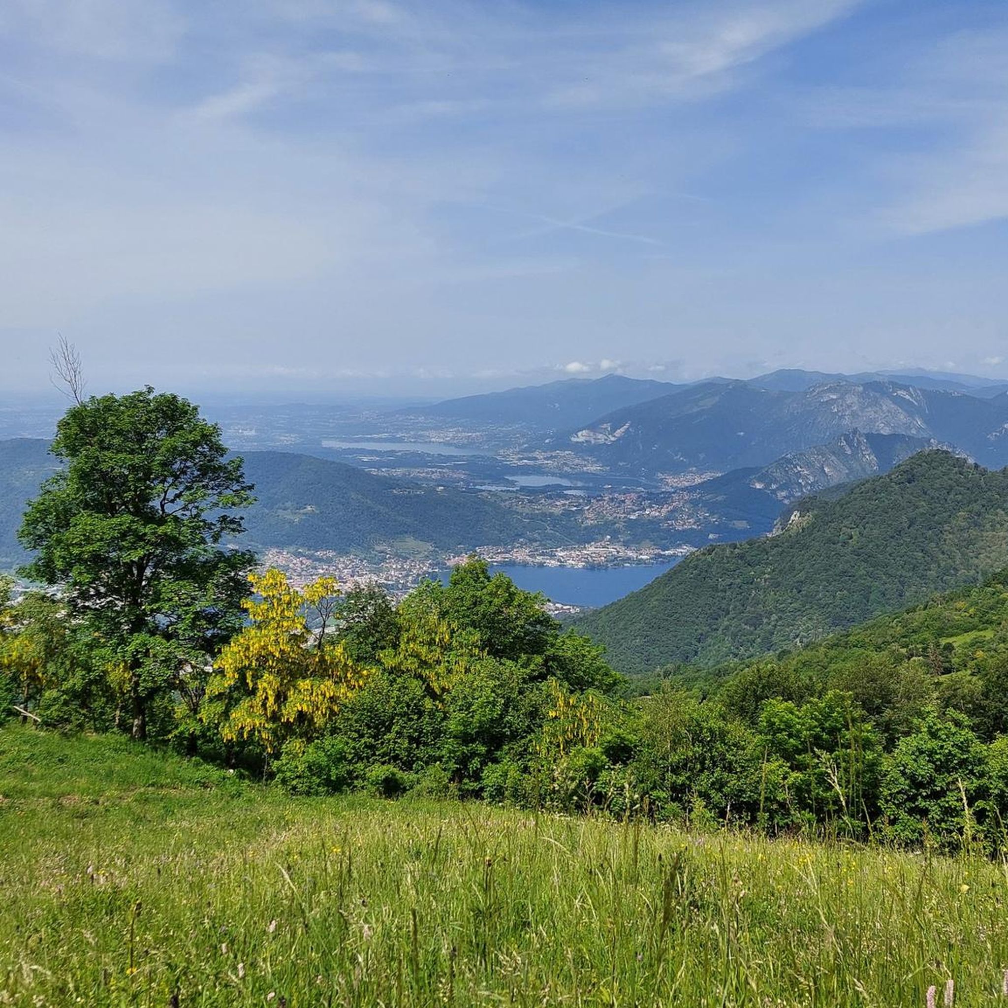
Mountaineering routes around Carenno are situated within the Western Bergamasque Prealps, part of the Resegone group in Lombardy, Italy. The region features varied terrain, from grassy slopes to rugged paths and ancient rock formations. Elevated points offer panoramic views of Lake Como, the city of Lecco, and the Monte Rosa massif. The landscape is characterized by extensive pastures and woodlands, providing a diverse environment for mountaineering.
Best mountaineering routes around Carenno
- The most popular mountaineering route is Ferrata Gamma 2…
Last updated: August 28, 2026
4.5
(8)
70
hikers
12.2km
08:04
1,280m
1,280m
Hard mountaineering route. Very good fitness required. Sure-footedness, sturdy shoes and alpine experience required.
4.9
(9)
70
hikers
5.12km
03:35
560m
560m
Hard mountaineering route. Good fitness required. Sure-footedness, sturdy shoes and alpine experience required.

Sign up for free
5.0
(2)
21
hikers
Hard mountaineering route. Very good fitness required. Sure-footedness, sturdy shoes and alpine experience required.
5.0
(5)
20
hikers
6.17km
03:12
420m
420m
Hard mountaineering route. Good fitness required. Sure-footedness, sturdy shoes and alpine experience required.
4.7
(3)
11
hikers
5.04km
04:41
660m
660m
Hard mountaineering route. Good fitness required. Sure-footedness, sturdy shoes and alpine experience required.
Get access to more routes and recommendations from other explorers.
Sign up for free
Already have an account?
Our route recommendations are based on thousands of hikes, rides, and runs completed by other people on komoot.
Start today with a free account
Your next adventure awaits.
Login or Signup
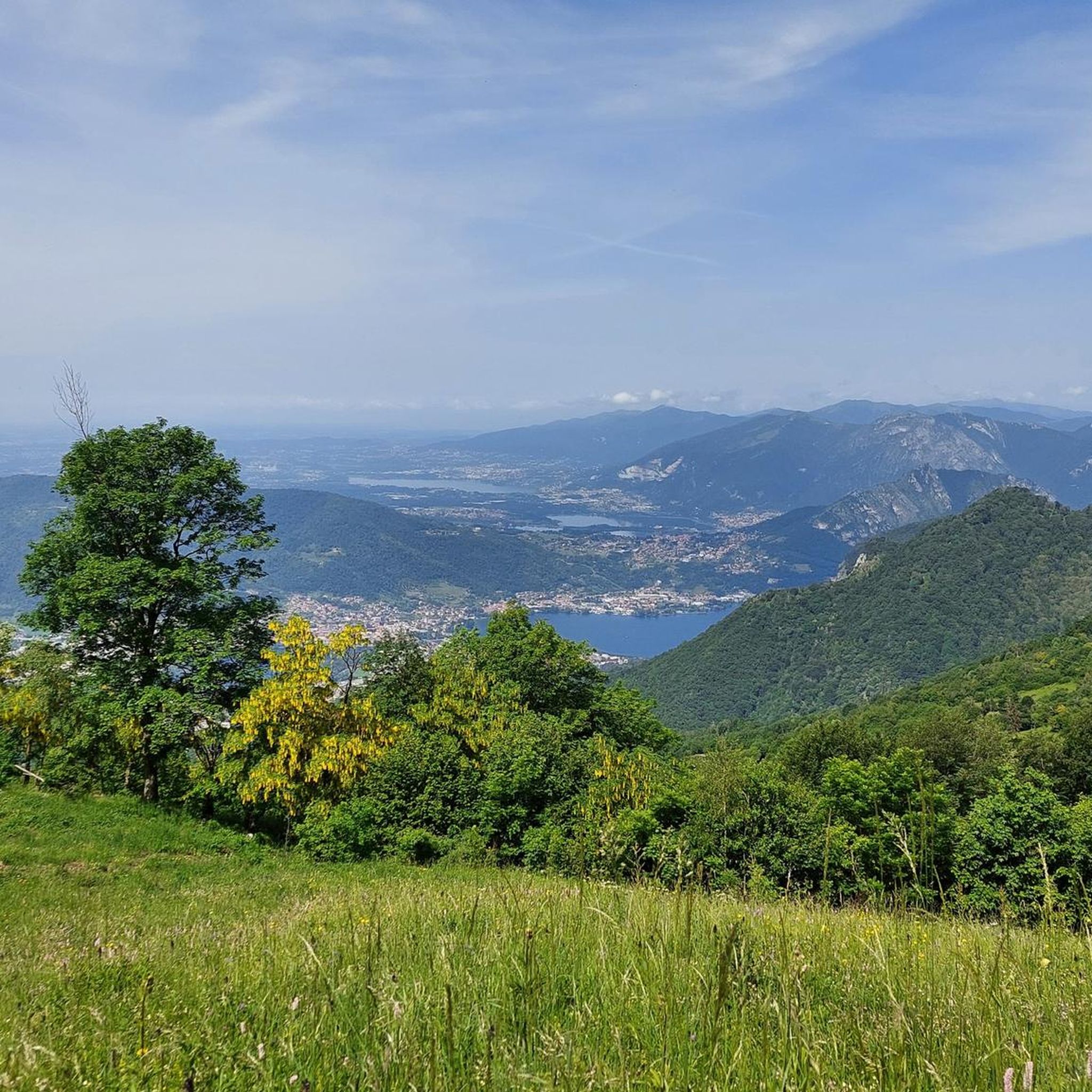
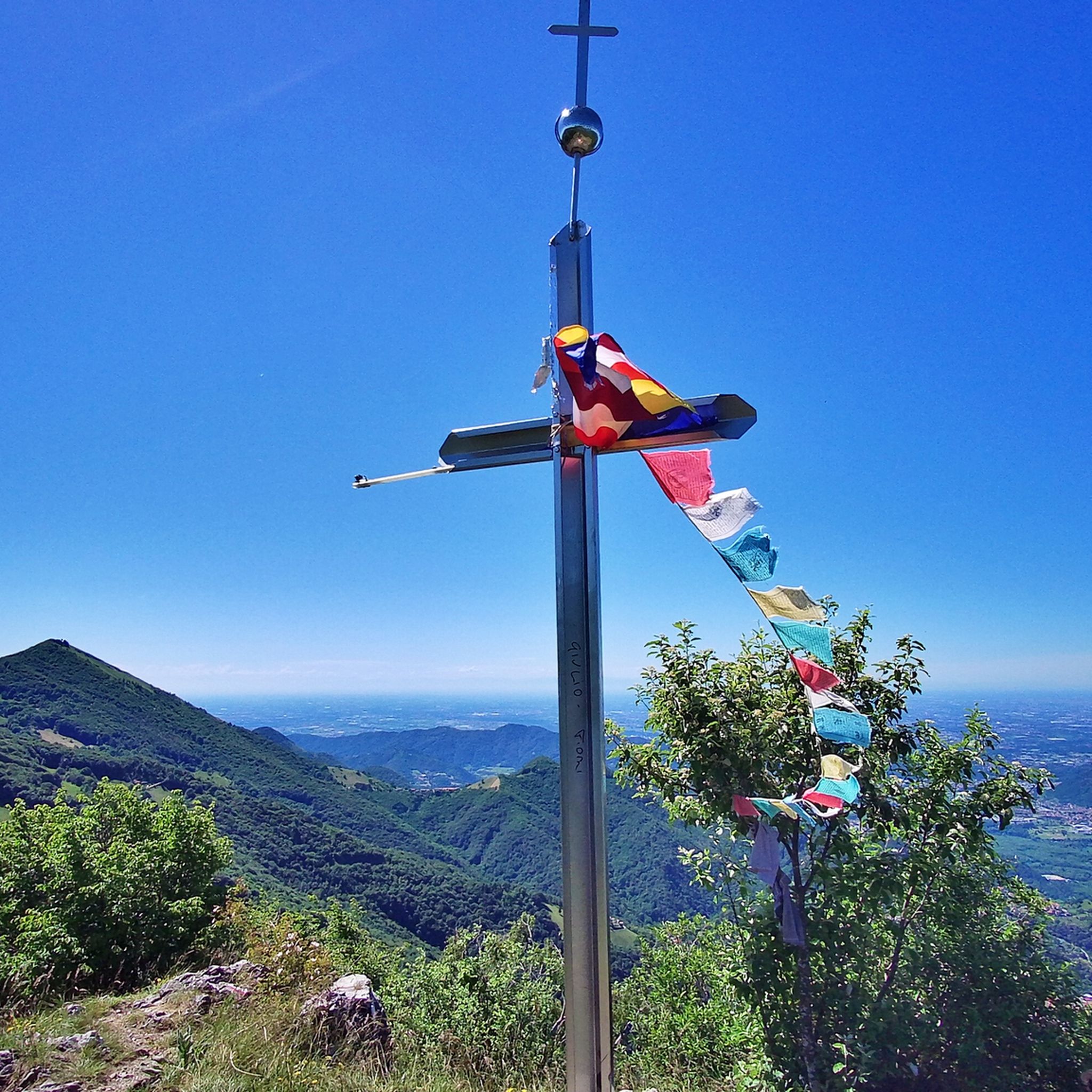
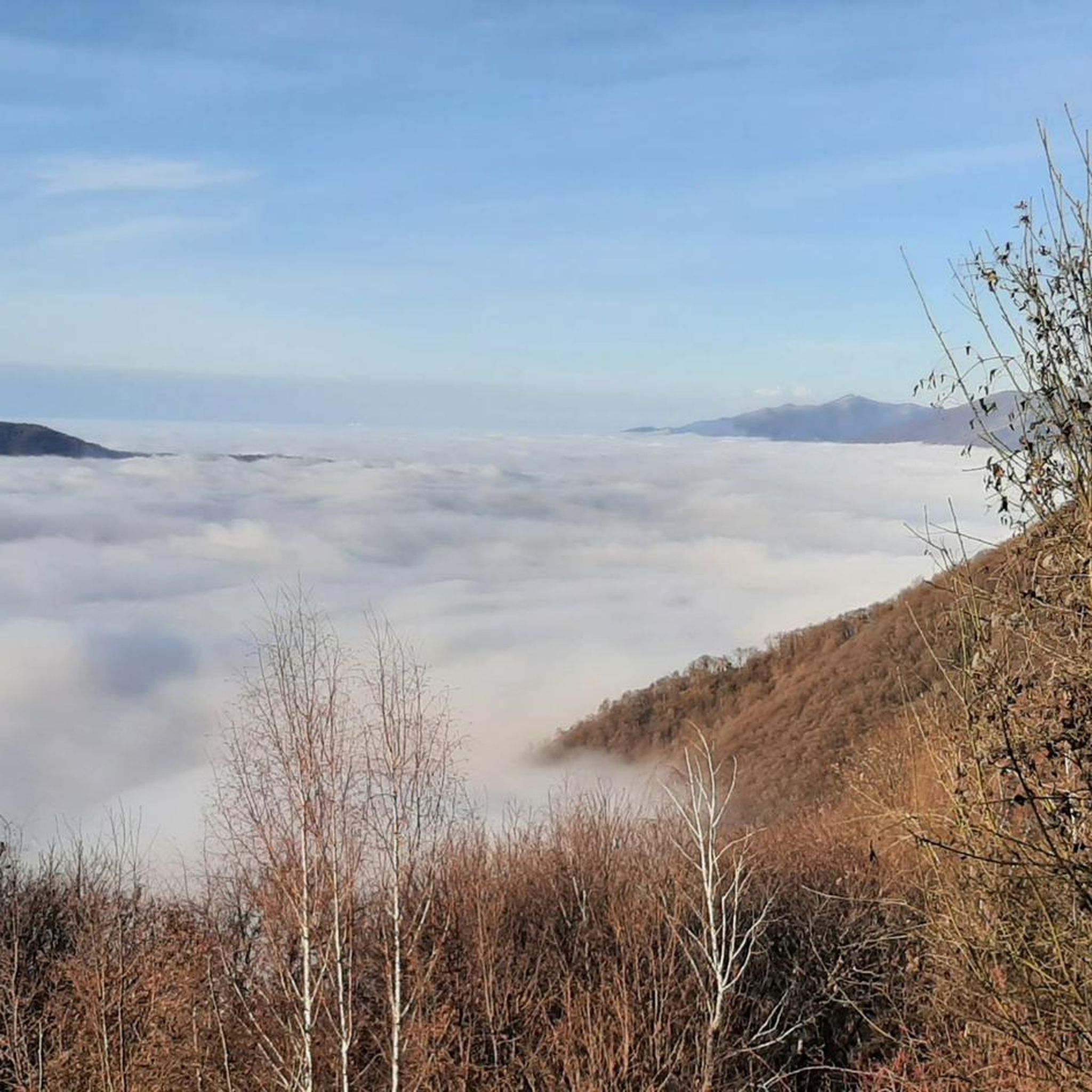
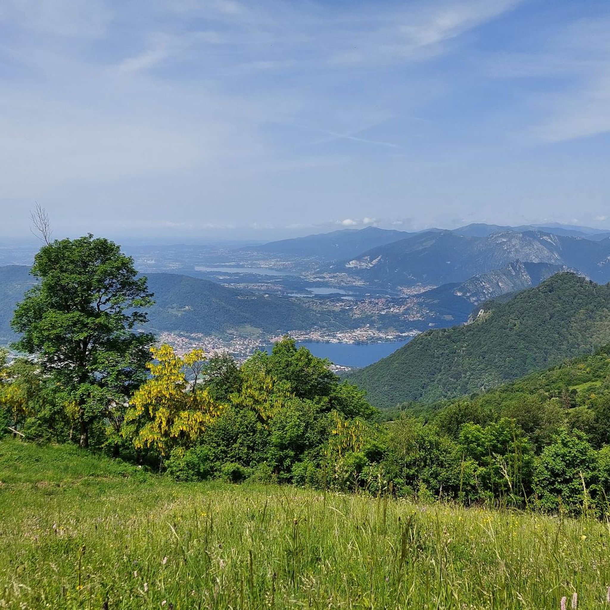

Tips from the Community


one of the most beautiful views of the lake and Lecco!
0
0

Spectacular view towards the tip of Lake Lecco, Grigna and Resegone
0
0

A crossroads for many Resegone routes. Very famous for being the reference point for the centenary via ferrata.
0
0

Watch out for ticks... last year's experience
0
0

The via ferrata and path are currently completely closed!!
0
0

Great get together, always lots of friends!
1
0
Frequently Asked Questions
Are there any easy mountaineering routes around Carenno?
The mountaineering routes around Carenno are generally challenging, with 15 out of 16 routes rated as difficult. There is one moderate route available. For easier walks, the region offers hiking trails like the "Percorso didattico naturalistico del Pertüs to Laghetto del Pertus" which is an easy 3.1-mile trail to the picturesque Pertus Lake.
What are some of the most challenging mountaineering routes in the Carenno area?
Carenno is known for its demanding climbs. Notable challenging routes include the Ferrata Gamma 2 Summit – View From Resegone loop from Piani d'Erna, a 7.6-mile route featuring a via ferrata towards Monte Resegone. Another difficult option is the Via Ferrata of Mount Medale – Medale Horn loop from Lecco, which offers technical sections and views over Lecco.
Are there circular mountaineering routes available around Carenno?
Yes, many of the mountaineering routes around Carenno are designed as loops. For example, the View From Resegone – Stone Water Fountain loop from Piani d'Erna is a difficult 9.3-mile trail offering extensive views. Another is the Crest Trail on Monte Due Mani – Mount Two Hands Ridge loop from Piani d'Erna, a 10.2 km difficult route.
What natural attractions can I see along the mountaineering routes near Carenno?
The region boasts diverse natural features. You can encounter the serene Laghetto del Pertus (Pertus Lake), a mountain lake at 1300 meters, which is a focal point for several routes. From summits like Monte Ocone or Monte Barro, you can enjoy panoramic views of Lake Garlate, Lake Como, the city of Lecco, and distant peaks like Monte Rosa and Adamello.
Are there any historical or cultural points of interest near the mountaineering trails?
Yes, Carenno itself has a well-preserved medieval historic center with cobbled streets and traditional stone houses. You can explore the ancient parish church of San Martino Vescovo (dating back to the 13th century) and the medieval tower of Tuzzano Rota. Some hiking routes, like the path from Carenno to Convento del Pertus, incorporate these historical areas.
What is the best time of year for mountaineering in Carenno?
The mountainous terrain around Carenno is best enjoyed during the warmer months, typically from late spring through early autumn, when trails are clear of snow and weather conditions are more stable. This allows for safe access to the steep and rocky sections, especially on routes like the ascent to Monte Ocone.
Do I need any special permits for mountaineering in Carenno?
Generally, no specific permits are required for mountaineering on the established trails around Carenno. However, for routes involving via ferratas, ensure you have the appropriate equipment and experience. Always check local regulations before your trip, especially if venturing into protected areas.
What do other mountaineers say about the routes in Carenno?
The mountaineering routes around Carenno are highly rated by the komoot community, with an average score of 4.77 stars from over 44 reviews. Mountaineers often praise the challenging nature of the climbs, the varied terrain from grassy slopes to rugged paths, and the extensive panoramic views from elevated points.
Is it possible to reach the mountaineering routes around Carenno using public transport?
While Carenno is a village, public transport options might be limited directly to all trailheads. It's advisable to check local bus schedules for connections to Carenno or nearby towns like Lecco or Calolziocorte, which serve as starting points for some routes. From these points, you might need to walk or arrange local transport to reach specific trailheads.
Are there parking facilities available for mountaineers in Carenno?
Parking is generally available in Carenno village itself. For routes starting from other locations like Piani d'Erna or Lecco, there are usually designated parking areas. It's recommended to check specific trailhead information or local signage for the most convenient parking options before your trip.
Can I bring my dog on the mountaineering trails in Carenno?
Many trails in the Carenno region are dog-friendly, but it's crucial to consider the difficulty and terrain of mountaineering routes. Some paths are steep, rocky, and may involve scrambling or via ferratas, which are unsuitable for dogs. Always keep your dog on a leash and ensure they are capable of handling the chosen route. Check specific route details for any restrictions.
Are there any places to eat or drink near the mountaineering routes?
Carenno village offers some local amenities. Additionally, mountain huts like the Luigi Azzoni Hut (Monte Resegone) can be found along certain routes, providing refreshments or shelter. It's always a good idea to carry sufficient water and snacks, especially on longer or more remote trails.
Most popular routes around Carenno
Most popular attractions around Carenno

Get inspired with the komoot mobile app


Explore more
Browse the best Mountain Hikes & Routes in other regions.
