The best walks and hikes around Cisano Bergamasco
4.4
(740)
3,752
hikers
15
hikes
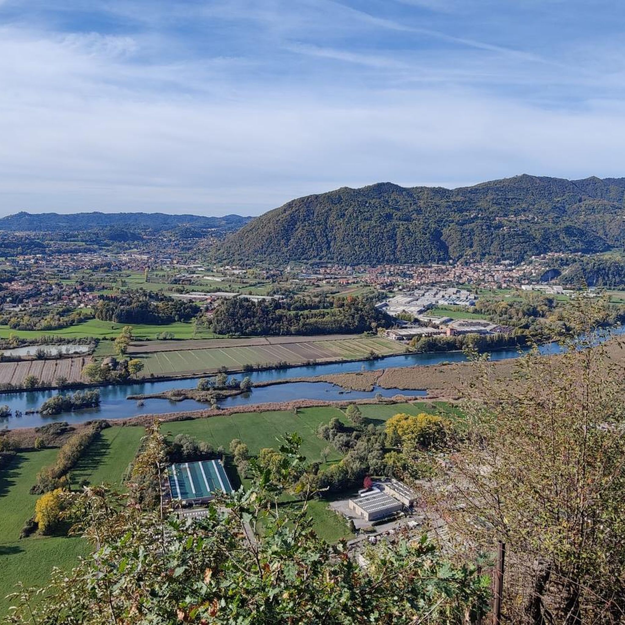
Hiking around Cisano Bergamasco offers diverse landscapes, characterized by mountainous terrain and proximity to significant natural landmarks. The region features routes along the Adda River, providing opportunities for nature observation. Hikers can also explore trails that include unique geological features such as erratic boulders. The area's varied elevation and natural attractions make it suitable for a range of outdoor activities.
Best hiking trails around Cisano Bergamasco
- The most popular hiking route is Monte Santa Margherita and Sentiero Papa Giovanni −…
Last updated: September 30, 2026
4.2
(10)
38
hikers
7.20km
02:17
300m
300m
Moderate hike. Good fitness required. Mostly accessible paths. Sure-footedness required.
4.2
(9)
50
hikers
Hard hike. Very good fitness required. Easily-accessible paths. Suitable for all skill levels.

4.7
(3)
25
hikers
Moderate hike. Good fitness required. Mostly accessible paths. Sure-footedness required.
4.5
(2)
15
hikers
16.2km
04:57
510m
510m
Moderate hike. Good fitness required. Mostly accessible paths. Sure-footedness required.
4.7
(3)
13
hikers
8.29km
02:29
250m
250m
Moderate hike. Good fitness required. Easily-accessible paths. Suitable for all skill levels.
Get access to more routes and recommendations from other explorers.
Already have an account?
Our route recommendations are based on thousands of hikes, rides, and runs completed by other people on komoot.
Start today with a free account
Your next adventure awaits.
Popular around Cisano Bergamasco
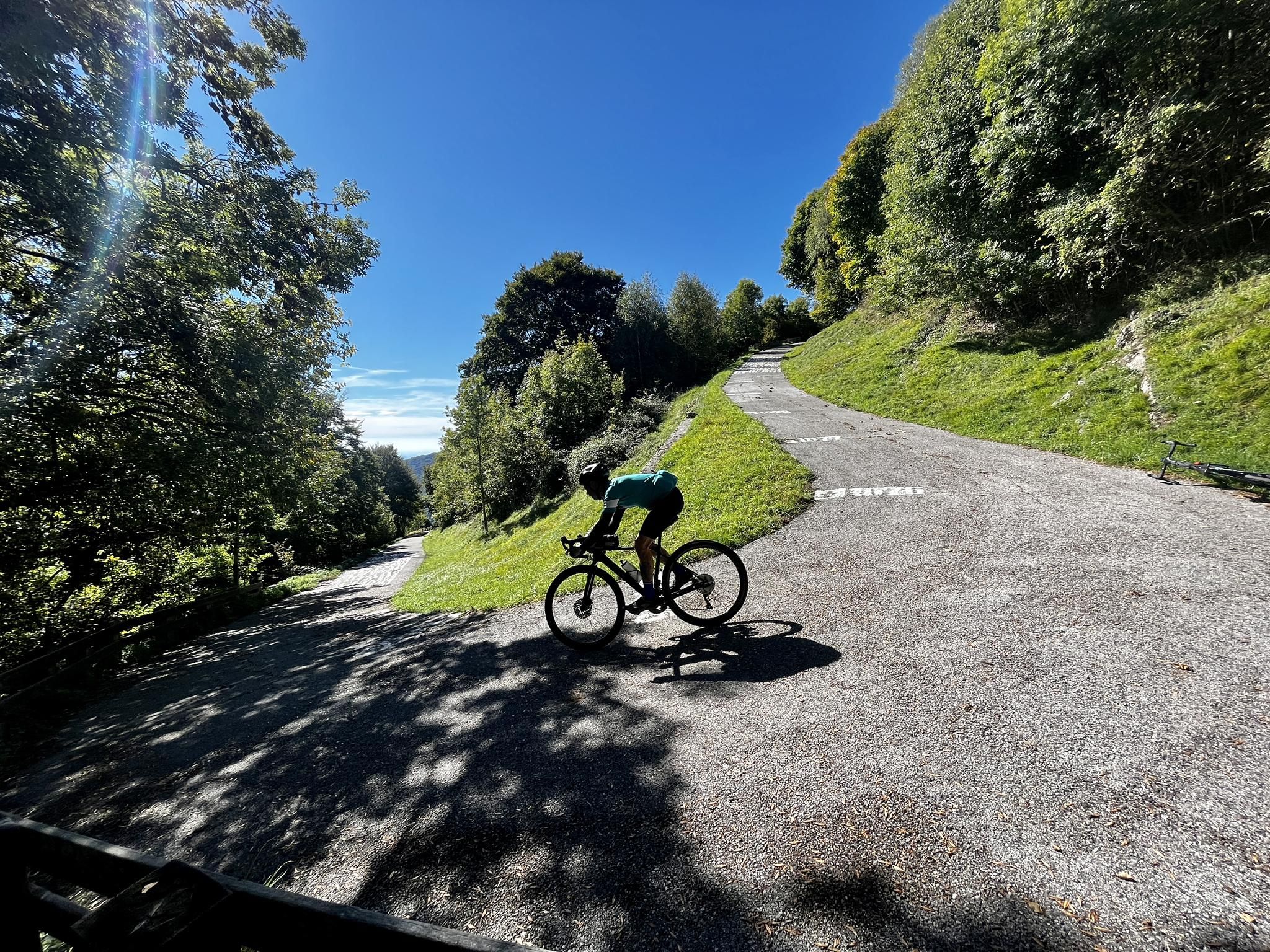
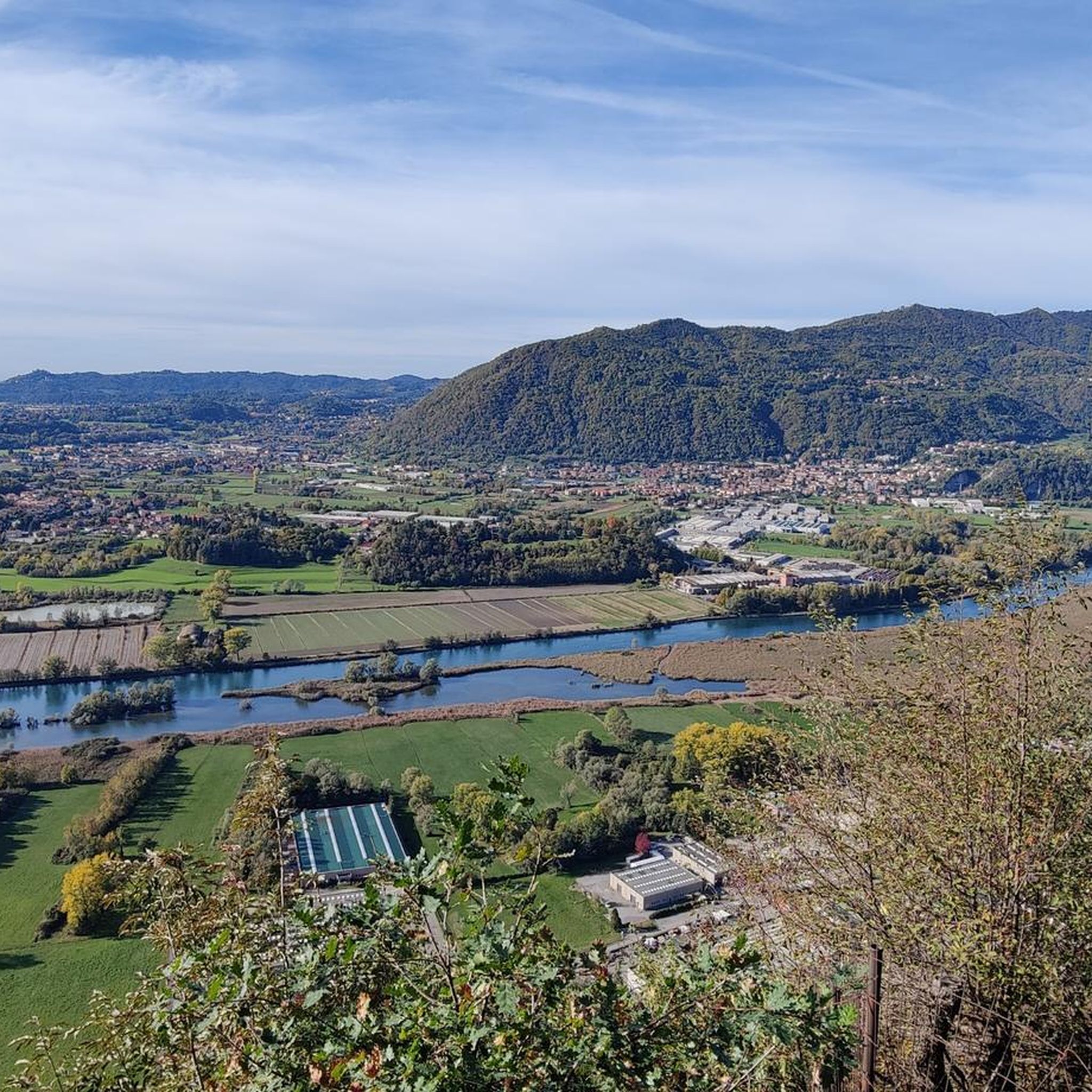
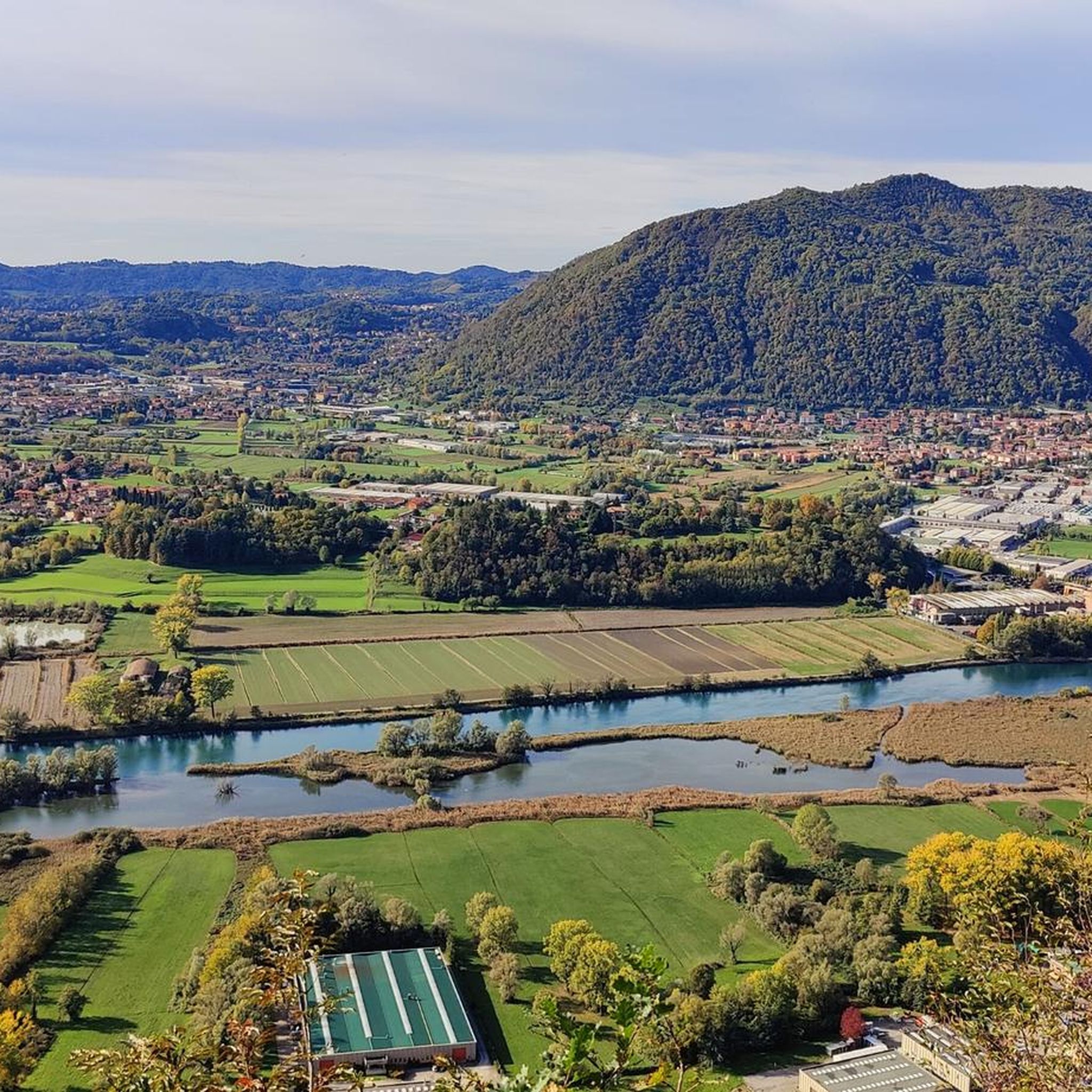

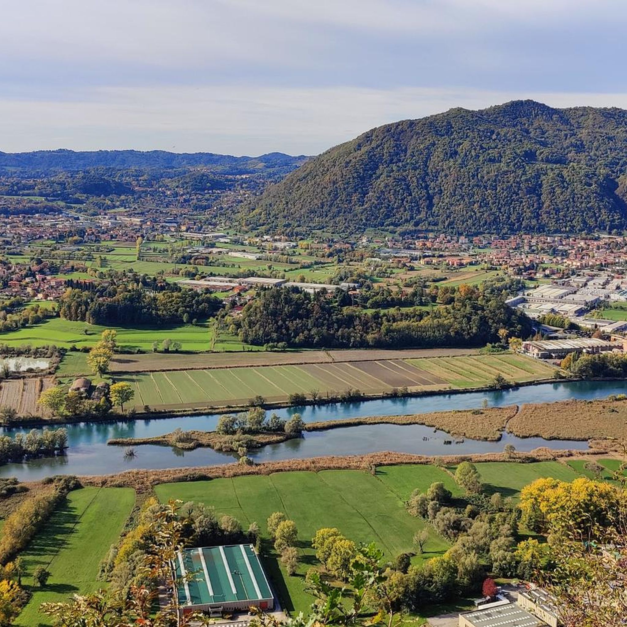

Other adventures around Cisano Bergamasco

Tips from the Community

one of the peaks of Canto the trees around block any panoramic view
0
1
the "highest" point of Mount Canto, but which does not allow any view as it is surrounded by plants
0
0

Beautiful flow section that you can follow up to Chiaravalle and then go back up towards Sonne
0
0

In Olcellera, a small church shaped like an alpine hat. an incredible view of the Adda. You go up a steep and narrow cemented ramp, the descent is guessed just inside the woods on the left.
0
0

Taril fun and doable in any period of the year
1
0

Wonderful natural oasis. It is a marshy area, rich in river vegetation and very rich in fauna, ranging from amphibians, to dragonflies to grebes, herons, woodpeckers etc. Unfortunately, the Louisiana red crayfish is also present, which as the name suggests is an invasive species. Correct behavior is recommended, do not scare the animals, be careful where you walk so as not to step on amphibians, do not leave waste, no noise etc. However, there are information signs with the rules to follow
0
0

the bar under the tower is great for a stop with your bike in sight (controllable) and a beer :-P
1
0
Frequently Asked Questions
What kind of terrain can I expect on hiking trails around Cisano Bergamasco?
The region around Cisano Bergamasco is characterized by diverse landscapes, including mountainous terrain and routes along the Adda River. You'll encounter varied elevation, from gentle paths to more challenging ascents, and unique geological features like erratic boulders.
Are there any easy hiking trails suitable for beginners or a relaxed stroll?
Yes, Cisano Bergamasco offers 5 easy hiking trails. These are generally shorter, with less elevation gain, perfect for beginners or those looking for a leisurely walk. For example, you can find routes up to 2 hours in duration with around 300m elevation gain.
What are some moderate hiking options in Cisano Bergamasco?
There are 8 moderate hiking trails available. A popular choice is the Monte Santa Margherita and Sentiero Papa Giovanni − loop trail, which is about 7.2 km long and takes around 2 hours 17 minutes. Another option is the Chiaravalle Erratic Boulder – Alpini Hat loop from Cisano-Caprino Bergamasco, a 14.9 km path featuring notable geological interest.
Are there any challenging hikes for experienced trekkers?
Yes, for those seeking a more strenuous experience, there are 2 difficult trails. The Mount Canto Trail – Monte Canto loop from Cisano-Caprino Bergamasco is a challenging 16.3 km route with a significant 540m elevation gain, typically requiring about 5 hours 2 minutes to complete.
Can I find circular hiking routes around Cisano Bergamasco?
Many of the trails in Cisano Bergamasco are designed as loops, offering convenient circular walks. Examples include the Monte Santa Margherita and Sentiero Papa Giovanni loop and the Alpini Hat – Fountain of Pope John loop.
What natural attractions can I see while hiking in the area?
Hikers can explore routes that incorporate the Adda River Birdwatching Area, offering opportunities for nature observation. You might also encounter unique geological features like the Chiaravalle Erratic Boulder. The region also features several picturesque lakes, such as Pertüs Pond and Lake Sartirana.
Are there any viewpoints or summits accessible on hikes?
Yes, the mountainous terrain offers several opportunities for panoramic views. You can find highlights like Monte Barro Summit View, Cypress Peak, and Monte Linzone Summit, providing rewarding vistas of the surrounding landscape.
What do other hikers say about the trails in Cisano Bergamasco?
The hiking routes in Cisano Bergamasco are highly rated by the komoot community, with an average score of 4.4 stars from over 590 reviews. Hikers often praise the varied terrain and the opportunities for nature observation, especially along the Adda River.
Are there any trails that pass through the Adda River Birdwatching Area?
Absolutely. The Adda River Birdwatching Area – Brivio Castle loop from Cisano-Caprino Bergamasco is a 14.8 km trail that leads directly through this area, offering excellent chances for nature observation and enjoying the riverside scenery.
What is the best time of year to go hiking in Cisano Bergamasco?
While specific seasonal recommendations aren't provided, the diverse landscapes of Cisano Bergamasco make it suitable for hiking across many seasons. Spring and autumn generally offer pleasant temperatures and vibrant scenery, while summer can be ideal for higher elevation trails. Always check local weather conditions before heading out.
Are there any specific natural monuments to look out for on the trails?
Yes, the region is home to interesting natural monuments. The Chiaravalle Erratic Boulder is a notable geological feature that can be explored on trails like the Chiaravalle Erratic Boulder – Alpini Hat loop. You might also discover other natural highlights such as the Oasis of Galbusera Bianca.
Most popular routes around Cisano Bergamasco
Most popular attractions around Cisano Bergamasco

Get inspired with the komoot mobile app


Explore more
Browse the best Hikes in other regions.
