The best mountain hikes around Torre De' Busi
4.3
(13)
127
hikers
4
hikes
Mountaineering routes Torre De' Busi traverse the varied terrain of the Bergamasque Prealps, situated within the Valle San Martino in Lombardy, Italy. The region is characterized by significant peaks like Monte Tesoro (1,432 m) and challenging ascents such as the Valcava Pass. This area offers diverse mountainous landscapes, including forested slopes and open, rocky sections, providing a robust environment for experienced mountaineers.
Best mountaineering routes around Torre De' Busi
- The most popular mountaineering route is Ferrata Gamma 2 Summit –…
Last updated: July 4, 2026
4.3
(6)
69
hikers
12.3km
08:06
1,280m
1,280m
Hard mountaineering route. Very good fitness required. Sure-footedness, sturdy shoes and alpine experience required.
5.0
(5)
19
hikers
6.17km
03:12
420m
420m
Hard mountaineering route. Good fitness required. Sure-footedness, sturdy shoes and alpine experience required.

Sign up for free
4.0
(1)
8
hikers
3.30km
02:42
410m
410m
Hard mountaineering route. Good fitness required. Sure-footedness, sturdy shoes and alpine experience required.
4.0
(1)
11
hikers
11.9km
05:19
800m
800m
Hard mountaineering route. Very good fitness required. Sure-footedness, sturdy shoes and alpine experience required.
11
hikers
6.20km
02:38
490m
490m
Hard mountaineering route. Good fitness required. Sure-footedness, sturdy shoes and alpine experience required.
Our route recommendations are based on thousands of hikes, rides, and runs completed by other people on komoot.
Start today with a free account
Your next adventure awaits.
Login or Signup
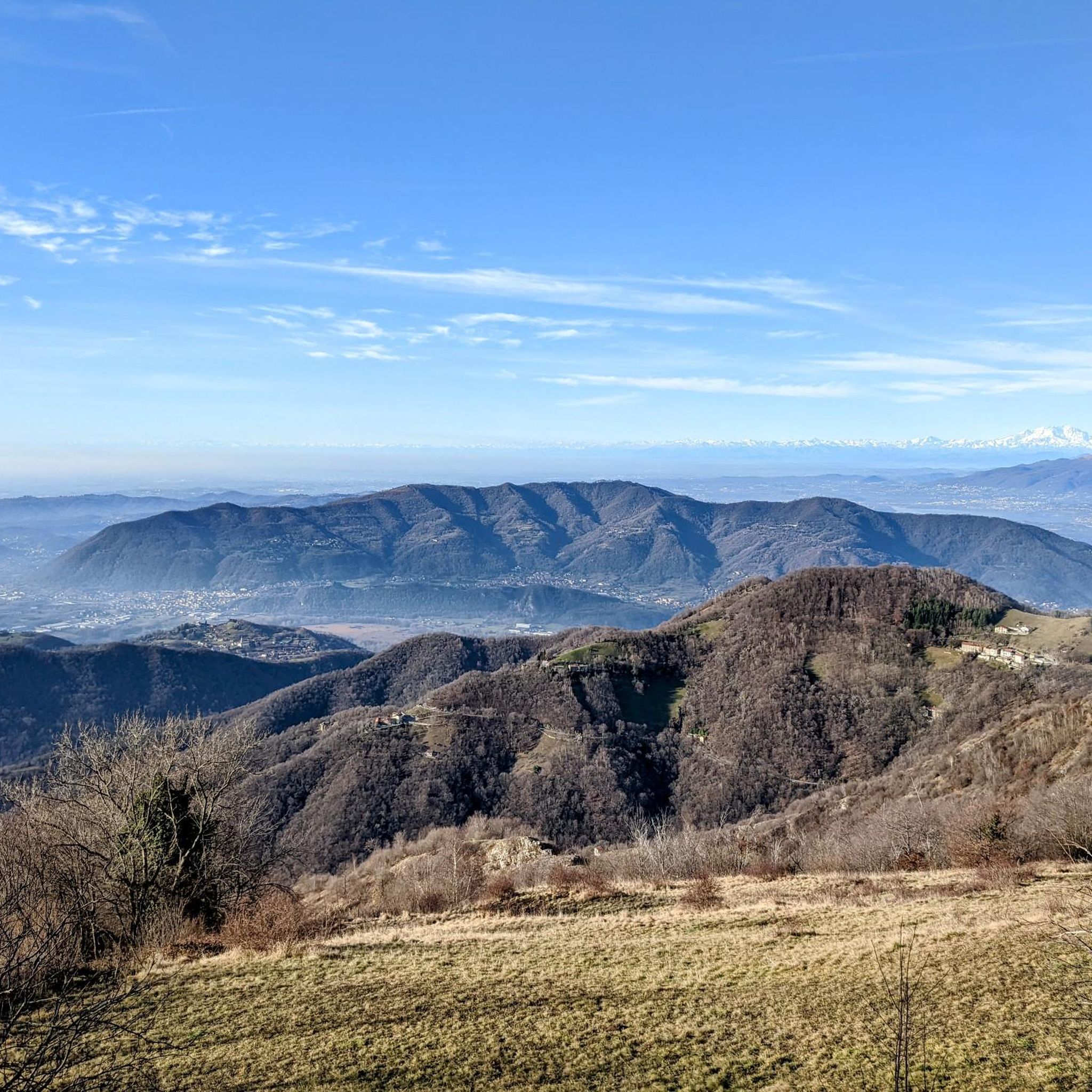
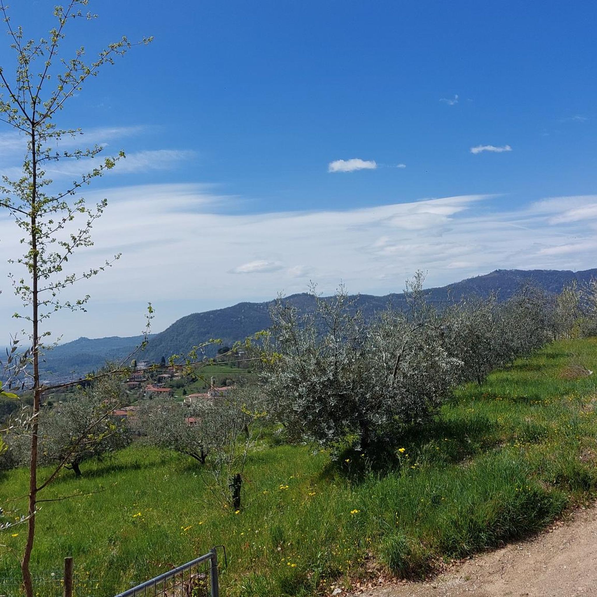

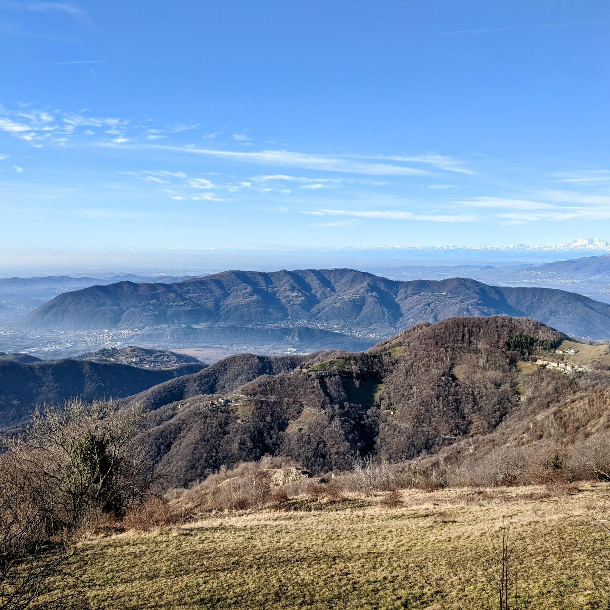
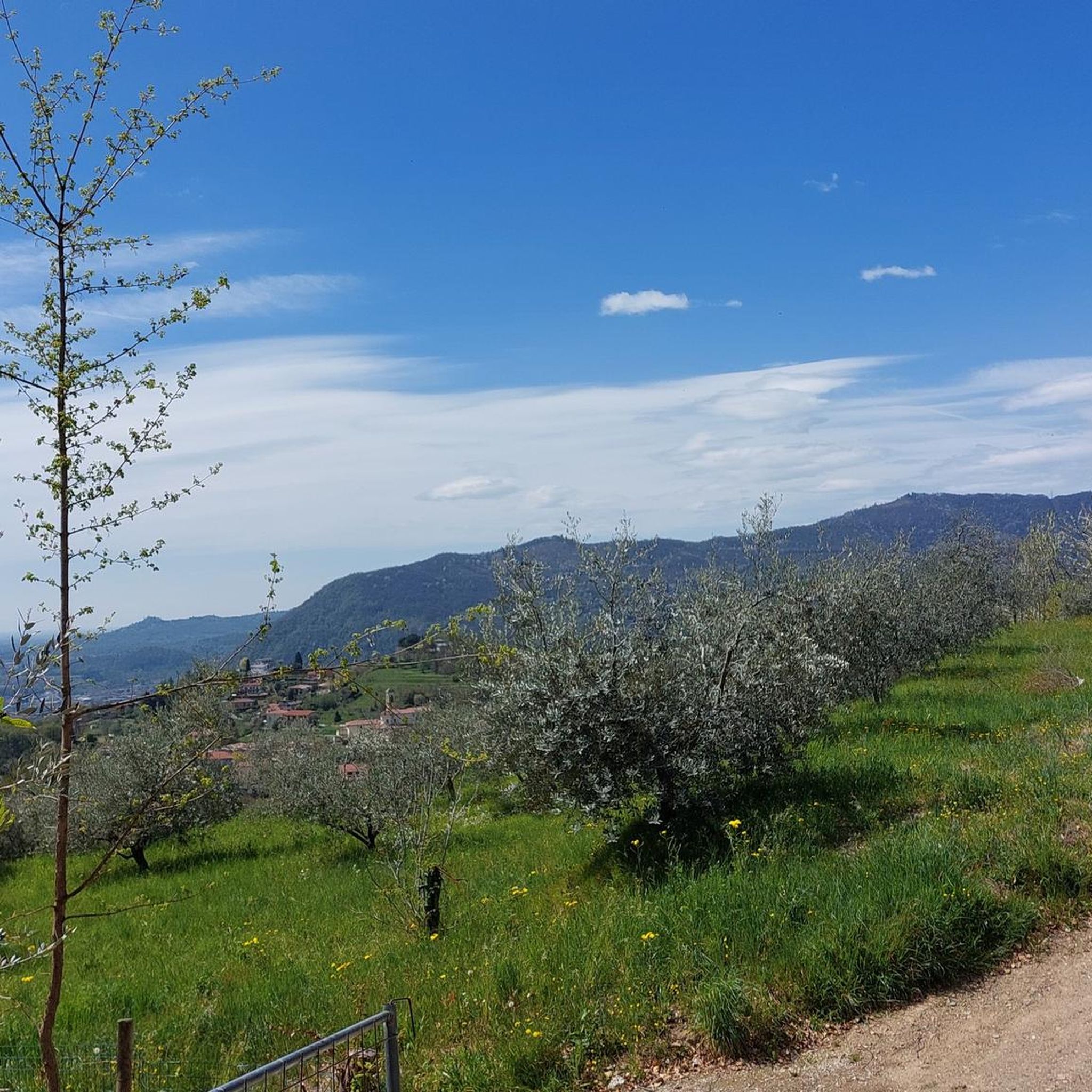
Tips from the Community

For the fittest
0
0

Stunning view of both the Imagna Valley and the Lecco area
0
0

A crossroads for many Resegone routes. Very famous for being the reference point for the centenary via ferrata.
0
0

sanctuary church of Nazareth, from here take the path with yellow and blue markings
0
1

summit with 360-degree view
0
0

quiet walk from the departure of the Piani d'Ernia cable car. Beautiful refuge with the possibility of climbing the Resegone
0
0

enchanting corner, ideal for taking unforgettable photos of this remote location
0
1

Great get together, always lots of friends!
1
0
Frequently Asked Questions
What kind of terrain can I expect on mountaineering routes around Torre De' Busi?
The mountaineering routes in Torre De' Busi traverse diverse terrain within the Bergamasque Prealps. You'll encounter a mix of challenging ascents, forested slopes, and open, rocky sections. Routes often feature significant elevation gains, such as the Valcava Pass, which climbs over 900 meters. Expect paths that require good fitness, sure-footedness, and sturdy footwear.
Are there any circular mountaineering routes in the area?
Yes, several mountaineering routes around Torre De' Busi are circular. For instance, the Ferrata Gamma 2 Summit – View From Resegone loop from Piani d'Erna is a challenging 12.3 km loop. Another option is the View From Resegone – Stone Water Fountain loop from Piani d'Erna, which covers 15.0 km with extensive mountain vistas.
What are some challenging mountaineering routes for experienced climbers?
For experienced mountaineers, the region offers several demanding routes. The Ferrata Gamma 2 Summit – View From Resegone loop from Piani d'Erna is a difficult 12.3 km route with over 1,280m of elevation gain. Another challenging option is the Monte Ocone Via Ferrata loop from Valsecca, a shorter but intense 3.2 km route with 400m of elevation gain.
What is the best time of year for mountaineering in Torre De' Busi?
The best time for mountaineering in Torre De' Busi is generally during the warmer months, from late spring to early autumn, when trails are clear of snow and weather conditions are more stable. Always check local weather forecasts and trail conditions before heading out, as mountain weather can change rapidly.
Are there any notable natural attractions or landmarks along these routes?
Yes, the region is rich in natural features and landmarks. You can explore various mountain passes like the Valcava Pass and summits such as Monte Ocone Summit (1,356 m). The area also features interesting caves, including the Val Giongo Cave, offering additional points of interest.
What do other mountaineers say about the routes in Torre De' Busi?
The mountaineering routes in Torre De' Busi are highly rated by the komoot community, with an average score of 4.5 stars from over 10 reviews. Mountaineers often praise the challenging ascents, the diverse mountainous landscapes, and the expansive views from peaks like Resegone.
Are there any shorter mountaineering routes suitable for a half-day trip?
Yes, if you're looking for a shorter but still challenging experience, the View From Resegone – Pian Serada Spring loop from Piani d'Erna is a 6.2 km route that typically takes around 3 hours 10 minutes to complete. Another option is the Monte Ocone Via Ferrata loop from Valsecca, which is 3.2 km and takes almost 3 hours.
Where can I find parking for trailheads in Torre De' Busi?
Many of the popular mountaineering routes, particularly those starting from Piani d'Erna, offer designated parking areas. It's advisable to arrive early, especially during peak season, as parking can fill up quickly. Specific parking information is often available on individual route pages on komoot.
Are there any specific permits required for mountaineering in this region?
Generally, specific permits are not required for general mountaineering on established trails in the Torre De' Busi area. However, if you plan to engage in technical climbing or access certain protected areas, it's always best to check with local authorities or park management for any specific regulations or permit requirements.
Can I access the trailheads using public transport?
While some areas might have limited public transport options, many trailheads in the Torre De' Busi region, especially those leading to more remote mountaineering routes, are best accessed by car. For routes starting near Piani d'Erna, you might find local bus services or cable car options from nearby towns, but it's recommended to verify schedules and accessibility in advance.
Are there any routes that pass by a stone water fountain?
Yes, the View From Resegone – Stone Water Fountain loop from Piani d'Erna is a 15.0 km route that features sections near a stone water fountain. Another route, the Stone Water Fountain loop from Piani d'Erna, also includes this feature over an 11.8 km distance.
Most popular routes around Torre De' Busi
Most popular attractions around Torre De' Busi

Get inspired with the komoot mobile app


Explore more
Browse the best Mountain Hikes & Routes in other regions.
