The best mountain hikes around Olginate
4.7
(56)
453
hikers
16
hikes
Mountaineering routes around Olginate, situated in Italy's Lombardy region, offer access to significant mountain landscapes. The area is characterized by prominent peaks such as Monte Cornizzolo and Monte Resegone, providing panoramic views of surrounding lakes including Lake Como, Lake Pusiano, Lake Annone, and Lake Garlate. The terrain often involves challenging ascents and rocky sections, with many routes featuring via ferratas.
Best mountaineering routes around Olginate
- The most popular mountaineering route is Ferrata Gamma 2 Summit – View From Resegone loop…
Last updated: October 8, 2026
4.5
(8)
70
hikers
12.2km
08:04
1,280m
1,280m
Hard mountaineering route. Very good fitness required. Sure-footedness, sturdy shoes and alpine experience required.
4.9
(8)
55
hikers
6.66km
04:36
910m
910m
Hard mountaineering route. Very good fitness required. Sure-footedness, sturdy shoes and alpine experience required.

4.6
(5)
51
hikers
9.82km
05:20
920m
920m
Hard mountaineering route. Very good fitness required. Sure-footedness, sturdy shoes and alpine experience required.
5.0
(5)
20
hikers
6.17km
03:12
420m
420m
Hard mountaineering route. Good fitness required. Sure-footedness, sturdy shoes and alpine experience required.
5.0
(2)
27
hikers
4.43km
03:20
580m
590m
Hard mountaineering route. Good fitness required. Sure-footedness, sturdy shoes and alpine experience required.
Get access to more routes and recommendations from other explorers.
Already have an account?
Our route recommendations are based on thousands of hikes, rides, and runs completed by other people on komoot.
Start today with a free account
Your next adventure awaits.
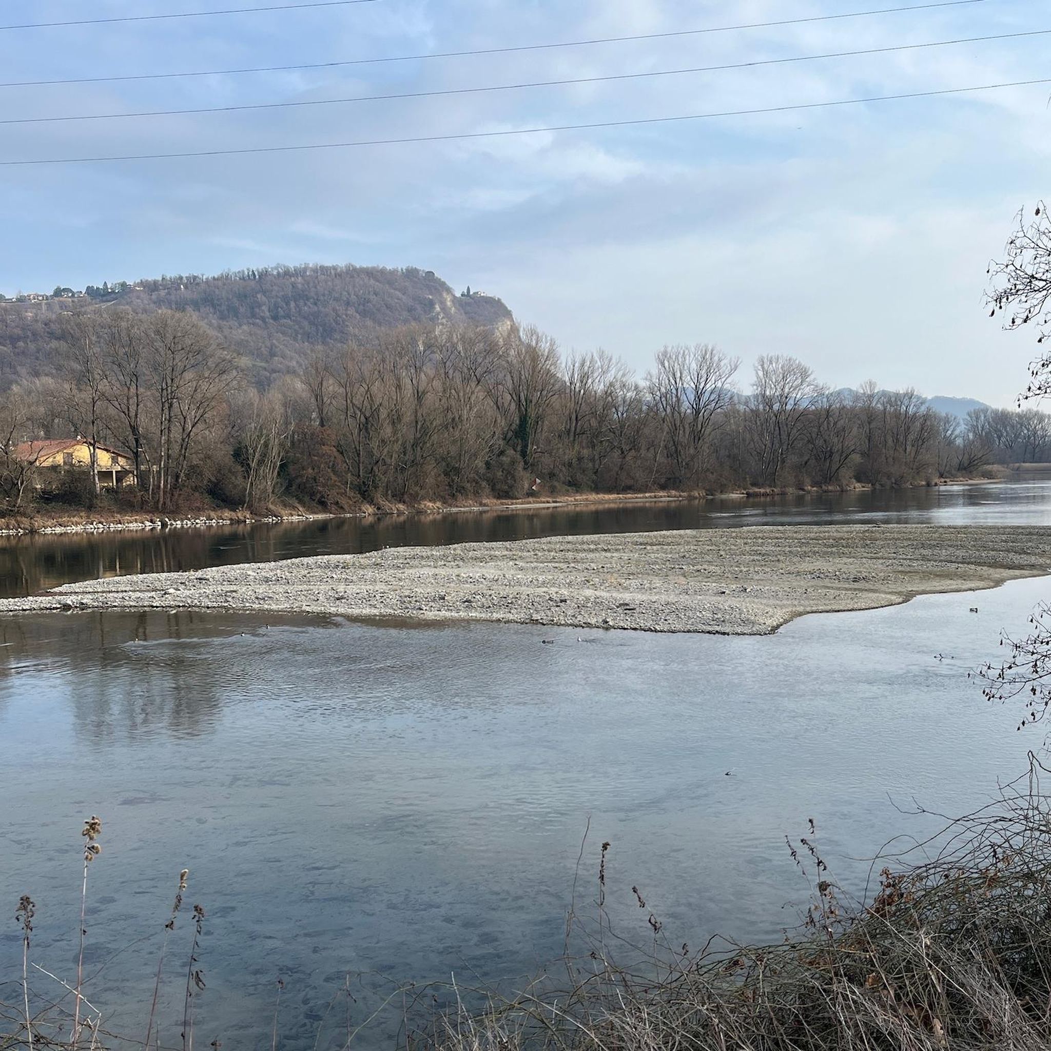
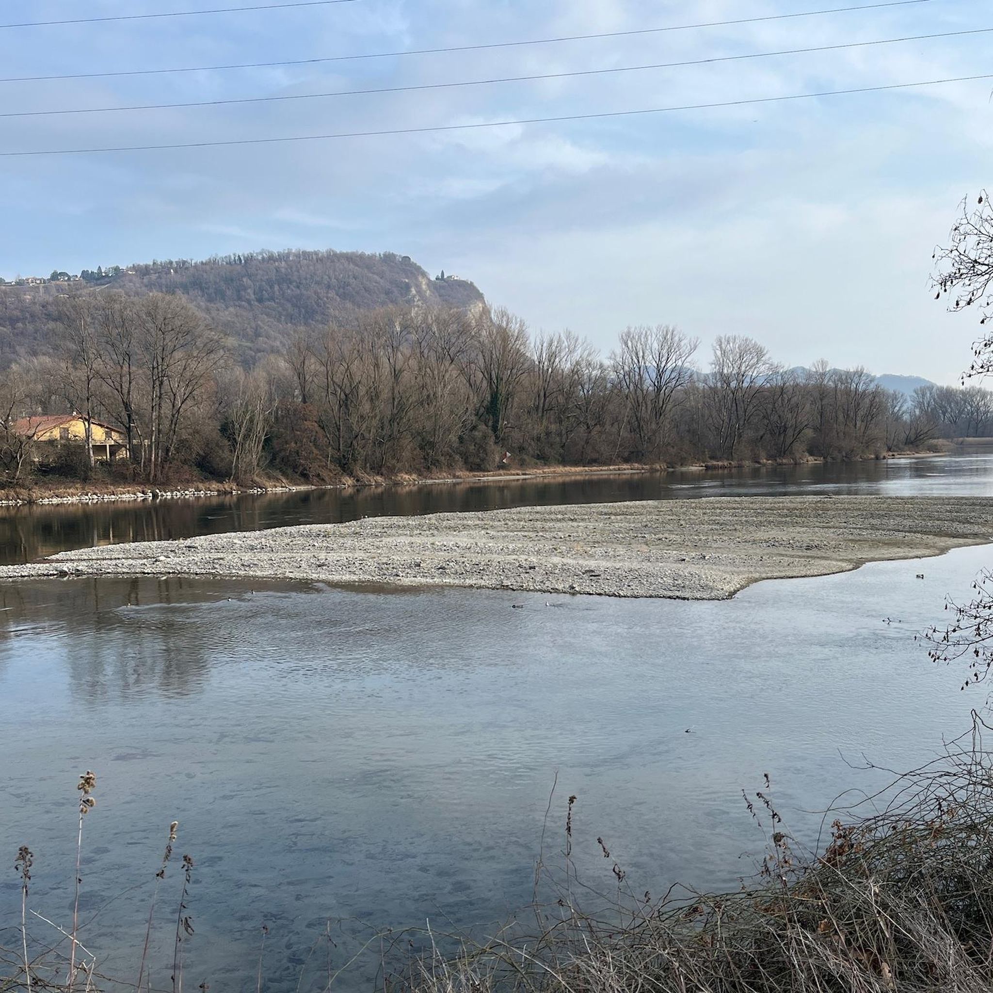
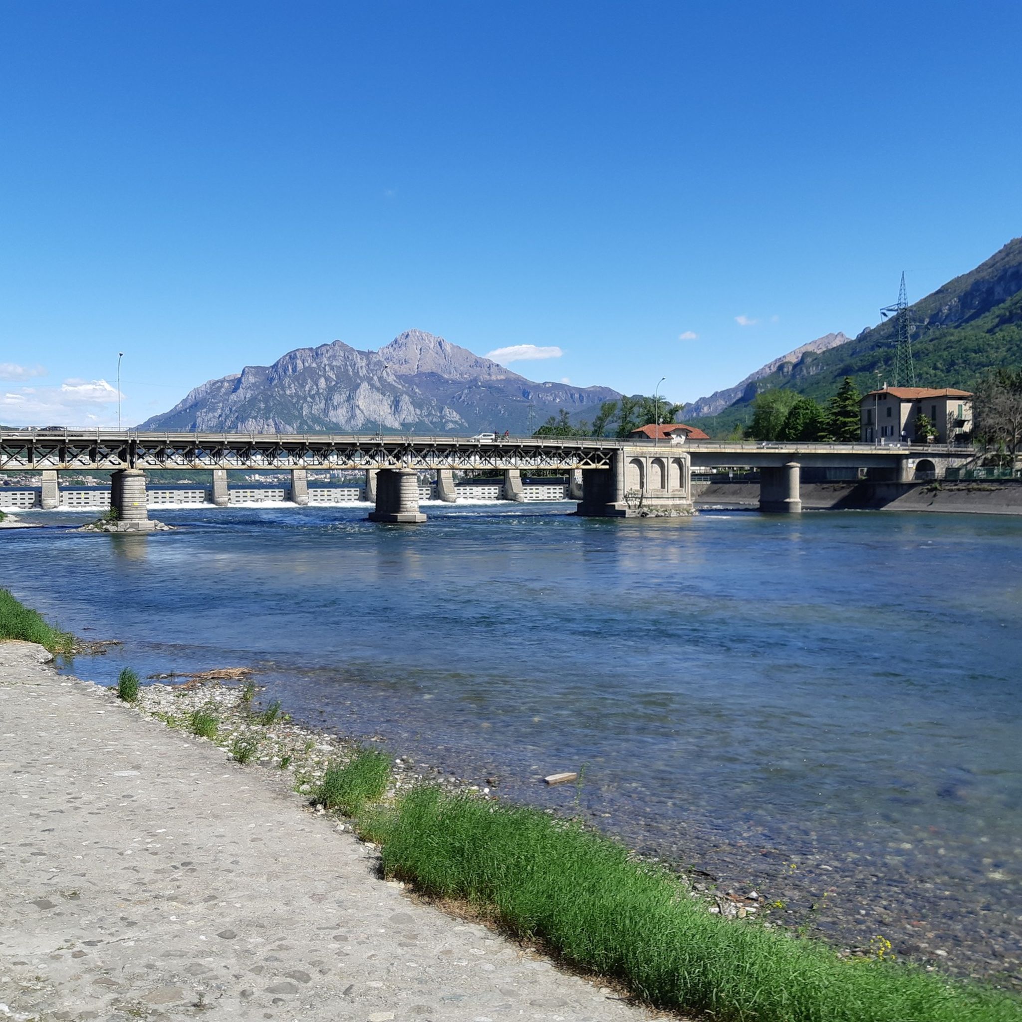
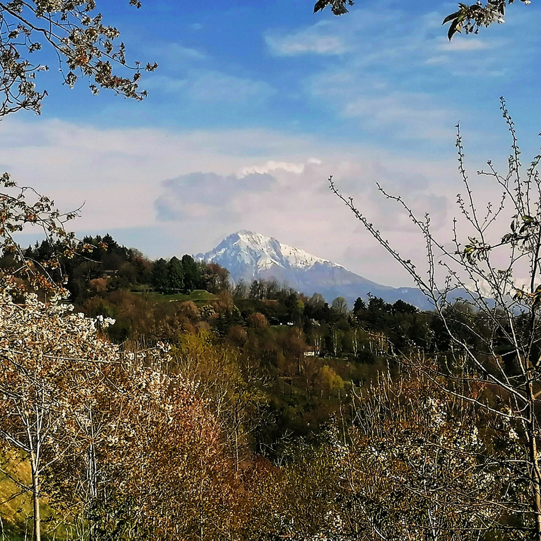

Tips from the Community

pretty here, very pretty
2
0

Ferrata reachable from Valmadrera. The progression takes place on a wall with some exposed sections, traverses on cable, but with well-visible metal holds. In the sections where the holds are further apart, the rock still offers good grips. In the second part, there are some ledges useful for resting. The panorama spans Valmadrera, Lake Lecco, Monte Barro, Lake Pusiano and Annone, and Resegone. In about 45-50 minutes, including the approach, you reach the summit of Corno Rat (924 m a.s.l.)
0
0
Via ferrata reachable from Valmadrera. The progression takes place on a wall with some exposed sections, traverses on cable, but with well-visible holds and stirrups. In the sections where the holds are further apart, the rock still offers good grips. In the second part, there are some ledges useful for resting. The panorama ranges over Valmadrera, Lake Lecco, Monte Barro, Lake Pusiano and Annone, and the Resegone. In about 45-50 minutes, including the approach, you reach the summit of Corno Rat (924 m a.s.l.).
0
0

A crossroads for many Resegone routes. Very famous for being the reference point for the centenary via ferrata.
0
0

This via ferrata is considered grade D (difficult). There are many stirrups, so if you're well-trained, it's less difficult. It's definitely very exposed.
0
0

It is highly recommended to stop for a sip of fresh water.
0
0

To reach the Canzo Orientale horn you can arrive comfortably from the S.E.V. refuge, or by exiting the Corno Rat via ferrata
0
0
Frequently Asked Questions
How many mountaineering routes are available around Olginate?
There are nearly 20 mountaineering routes around Olginate, all of which are classified as difficult, making them suitable for experienced mountaineers.
Are there any circular mountaineering routes in the Olginate area?
Yes, several routes offer a circular experience. For example, the Ferrata Gamma 2 Summit – View From Resegone loop from Piani d'Erna is a challenging 12.3 km loop with extensive views. Another option is the Le Casote di Valmadrera – Monte Moregallo Summit loop from Valmadrera, a difficult 6.8 km path to Monte Moregallo.
What kind of views can I expect on mountaineering routes near Olginate?
Mountaineering routes around Olginate offer panoramic views of surrounding lakes, including Lake Como (Lecco side), Lake Pusiano, Lake Annone, and Lake Garlate. Prominent peaks like Monte Resegone and Monte Cornizzolo provide excellent vantage points.
Are there any routes that feature via ferratas?
Yes, the region is known for routes that include via ferratas. The Ferrata Gamma 2 Summit – View From Resegone loop from Piani d'Erna is one such route, offering a challenging experience with fixed cables and ladders. Another option is the Ferrata Corno Rat loop from Valmadrera, which leads through rocky mountain terrain.
What are some notable natural attractions or landmarks to see along the routes?
Beyond the mountain peaks, you can explore several natural attractions. The area features various caves, such as the Buco della Sabbia Cave and Passata Mines. There are also beautiful waterfalls like the Pools and Waterfalls of the San Carlo Stream and the Toscio Stream Waterfalls.
What do other mountaineers say about the routes in Olginate?
The mountaineering routes in Olginate are highly rated by the komoot community, with an average score of 4.8 stars from over 50 reviews. Mountaineers often praise the challenging ascents, panoramic lake views, and the presence of via ferratas.
Are there any family-friendly mountaineering options?
The mountaineering routes around Olginate are generally classified as difficult, involving challenging ascents and rocky sections, often with via ferratas. These routes are best suited for experienced mountaineers rather than families with young children or beginners.
What is the best season for mountaineering in Olginate?
The best time for mountaineering in Olginate is typically during the spring, summer, and early autumn months when the weather is more stable and trails are clear of snow. Winter mountaineering is possible but requires specialized gear and experience due to snow and ice conditions.
Are there any routes that offer views of Monte Resegone?
Yes, Monte Resegone is a prominent feature in the region. The Ferrata Gamma 2 Summit – View From Resegone loop from Piani d'Erna specifically offers extensive views from Monte Resegone. Another route, View From Resegone – Stone Water Fountain loop from Piani d'Erna, also provides excellent perspectives of the mountain.
Is public transport available to access mountaineering trailheads?
Olginate is situated about 6 kilometers south of Lecco. While specific public transport details for each trailhead are not provided, Lecco is a regional hub. It's advisable to check local bus schedules or consider driving to access the starting points for these challenging routes.
Are dogs allowed on the mountaineering trails?
Regulations regarding dogs on specific mountaineering trails can vary. Given the challenging nature of these routes, including via ferratas and rocky terrain, it's recommended to check local signage or park regulations for each specific trail to ensure it's suitable and permissible for dogs.
Most popular routes around Olginate
Most popular attractions around Olginate

Get inspired with the komoot mobile app


Explore more
Browse the best Mountain Hikes & Routes in other regions.
