The best walks and hikes around Castello Cabiaglio
4.3
(6341)
27,552
hikers
13
hikes
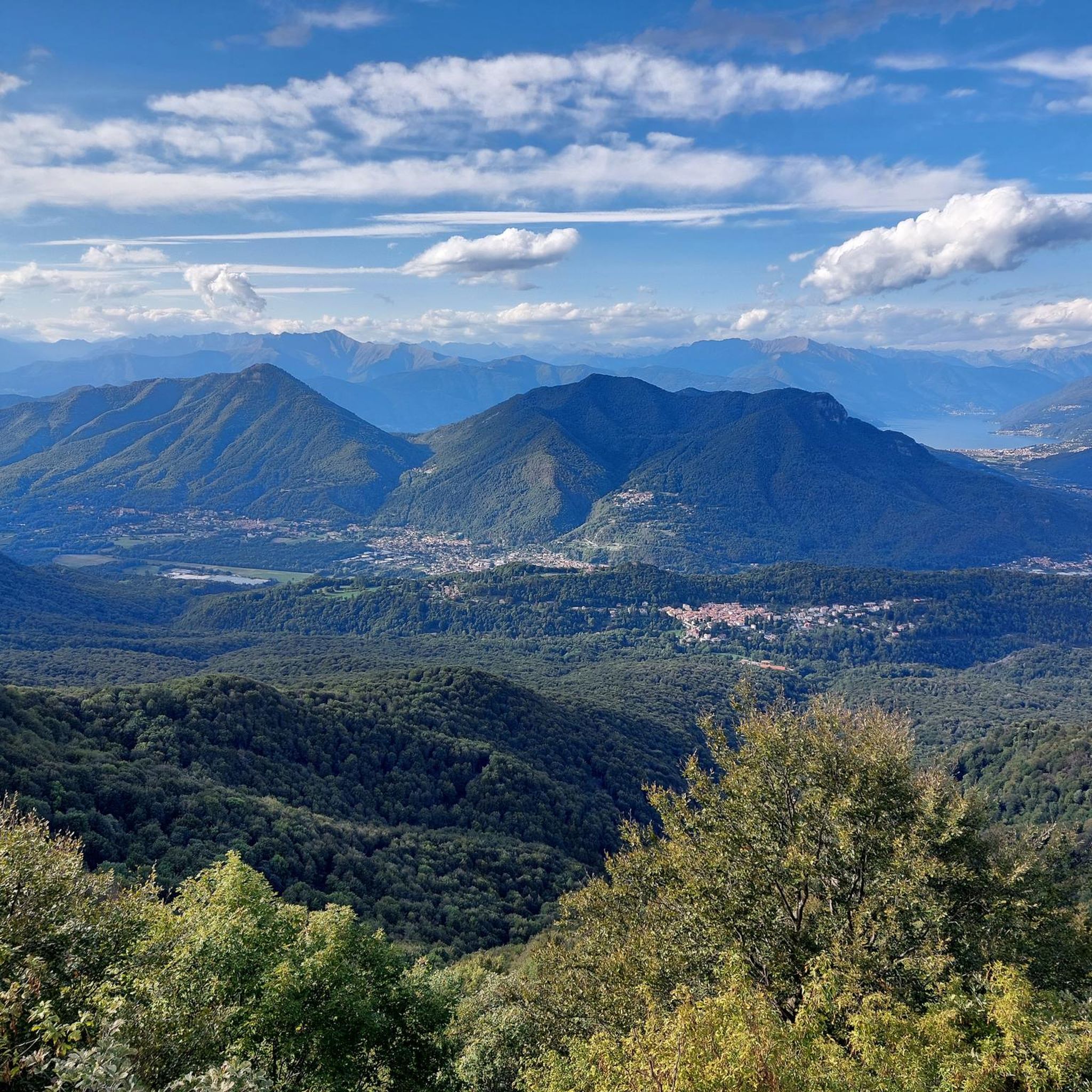
Hiking around Castello Cabiaglio offers diverse landscapes within the Varese Prealps, situated between the Campo dei Fiori Regional Park and Monte Martinello. The region is characterized by dense deciduous forests of beech and chestnut trees, with varied terrain ranging from gentle slopes to more challenging ascents. Hikers can experience panoramic views over the Brinzio valley, Valcuvia, Valtravaglia, and the northern part of Lake Maggiore.
Best hiking trails around Castello Cabiaglio
- The most popular hiking route is European Long-Distance Path E1:…
Last updated: October 10, 2026
3.8
(4)
14
hikers
12.7km
05:19
730m
730m
Hard hike. Very good fitness required. Sure-footedness, sturdy shoes and alpine experience required.
8
hikers
20.4km
07:57
1,060m
1,050m
Hard hike. Very good fitness required. Sure-footedness, sturdy shoes and alpine experience required.

4.6
(220)
1,342
hikers
Moderate hike. Good fitness required. Mostly accessible paths. Sure-footedness required.
4.4
(5)
17
hikers
12.6km
04:49
720m
720m
Hard hike. Good fitness required. Sure-footedness, sturdy shoes and alpine experience required.
4.5
(4)
15
hikers
8.24km
02:17
140m
140m
Moderate hike. Good fitness required. Easily-accessible paths. Suitable for all skill levels.
Get access to more routes and recommendations from other explorers.
Already have an account?
Our route recommendations are based on thousands of hikes, rides, and runs completed by other people on komoot.
Start today with a free account
Your next adventure awaits.
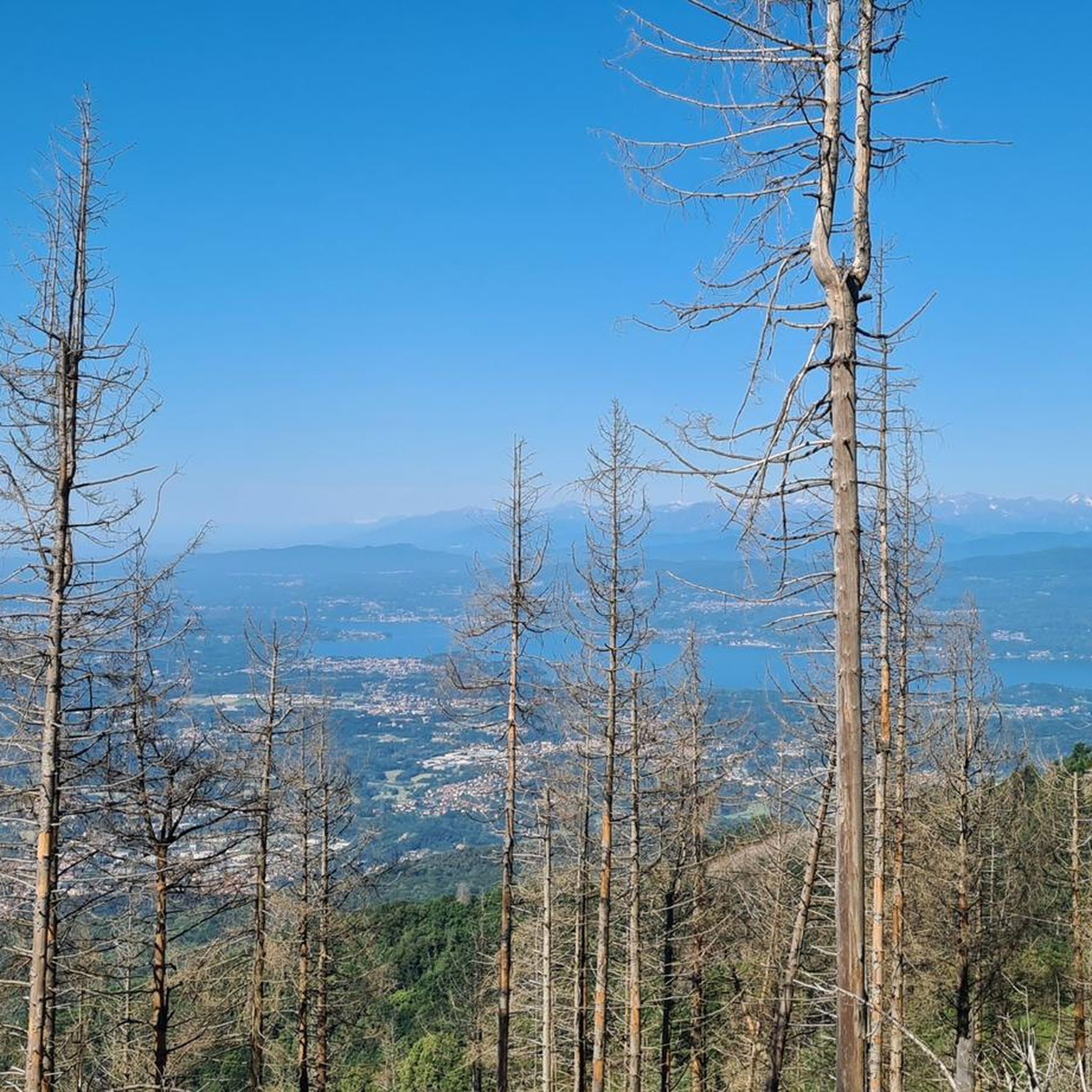
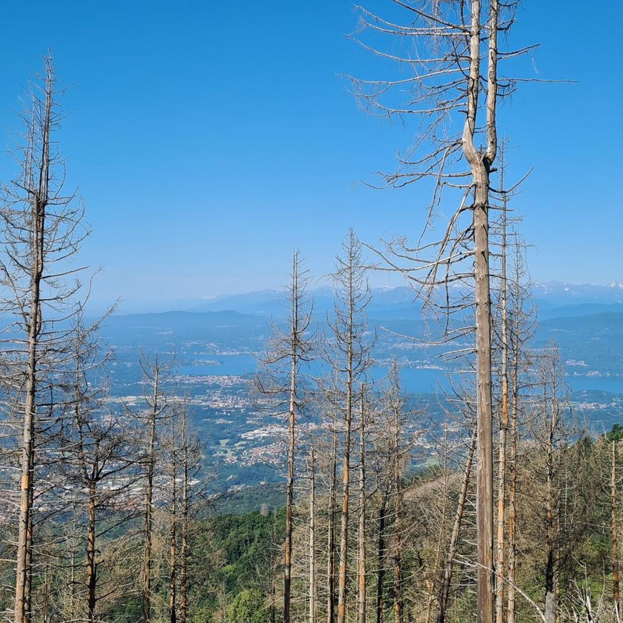
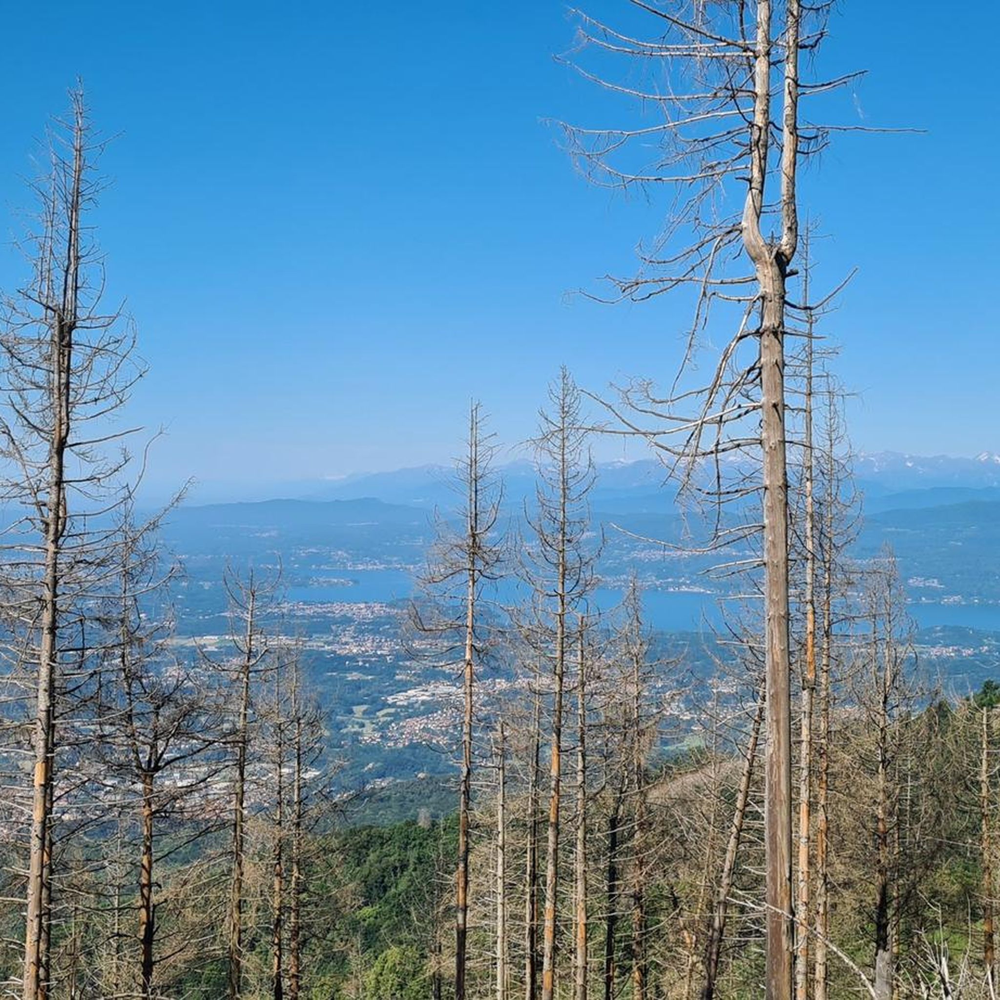

Tips from the Community

The Belvedere of Campo dei Fiori, located at 1,027 meters on the massif above Varese, offers a spectacular view of the Po Valley, the pre-Alpine lakes, and the Alpine arc. It is easily reachable on foot in about 10-15 minutes from Osteria Irma, an ideal spot for panoramic walks and excursions.
0
0

Panoramic viewpoint offering a beautiful view of the province, very close to parking lots and other points of interest (Grand Hotel, Scala nel Cielo etc.).
0
0

Following path 10 and signs for Pian delle Noci, you reach the refuge. It's a challenging and bumpy climb. Once at the refuge, you descend towards the Gesiola spring and return to path 10 towards the Orino fortress.
1
0

Lots of insects, poorly maintained trails Beautiful place
1
0


Panorama from the tip of Mezzo
0
0
Frequently Asked Questions
How many hiking trails are available around Castello Cabiaglio?
Castello Cabiaglio offers a wide variety of hiking opportunities, with over 600 routes recorded on komoot. These range from easy strolls to more challenging ascents, ensuring there's something for every hiker.
Are there easy or family-friendly hiking options in Castello Cabiaglio?
Yes, the area provides numerous easy trails suitable for families or those seeking a relaxed walk. For instance, the La Rocca di Orino – loop from Cuvio is an easy 4.5 km trail through forested areas, taking about 1 hour 27 minutes. The region has over 180 easy routes to choose from.
Can I bring my dog on the hiking trails around Castello Cabiaglio?
Many trails in the Campo dei Fiori Regional Park and surrounding areas are dog-friendly, allowing you to enjoy the natural beauty with your canine companion. It's always recommended to keep dogs on a leash, especially in areas with wildlife or near livestock, and to check specific trail regulations if available.
What kind of natural features or landmarks can I expect to see while hiking?
Hikers in Castello Cabiaglio can enjoy diverse landscapes, including dense deciduous forests and panoramic views over the Brinzio valley, Valcuvia, Valtravaglia, and the northern part of Lake Maggiore. Notable natural features include the year-round spring of Fontana Rossa and the Torbiera del Carecc (Carecc peat bog). You might also encounter stunning waterfalls like the Valganna Waterfalls and Caves or the Trallo Waterfall.
Are there any historical sites or points of interest along the trails?
Absolutely. The region is rich in history. Trails can lead to significant sites such as Forte di Orino, Rocca di Orino, and the ancient Ponte Romano sul Torrente Broveda (Roman bridge). The Valcuvian Ring Trail, for example, incorporates historical WWI sites into its route.
What is the best time of year to go hiking in Castello Cabiaglio?
The region is beautiful year-round, but spring and autumn offer particularly pleasant conditions with mild temperatures and vibrant foliage. Summer is also popular, though some trails can be warm. Winter hiking is possible, especially on lower elevation trails, but requires appropriate gear for potentially colder and snowier conditions.
Are there any circular hiking routes available?
Yes, many routes in the area are designed as loops. The From Brinzio towards Monte Chiusarella – loop tour is a moderate 10.9 km option, and the La Rocca di Orino – loop from Cuvio is an easier 4.5 km loop, perfect for a shorter outing.
What do other hikers say about the trails in Castello Cabiaglio?
The hiking trails in Castello Cabiaglio are highly regarded by the komoot community, holding an average rating of 4.3 stars from over 5,100 reviews. Hikers often praise the diverse scenery, well-maintained paths, and the stunning panoramic views, especially those overlooking Lake Maggiore.
Is public transport available to reach hiking trailheads?
While specific bus routes to every trailhead might vary, Castello Cabiaglio and nearby towns are generally served by local public transport. It's advisable to check local bus schedules for connections to specific starting points within the Campo dei Fiori Regional Park or other areas.
Where can I park my car when hiking in Castello Cabiaglio?
Parking is typically available in or near the villages and towns that serve as trailheads, such as Castello Cabiaglio itself, Brinzio, or Cuvio. Look for designated parking areas, especially near popular starting points for trails within the Campo dei Fiori Regional Park.
Are there places to eat or stay near the hiking trails?
Yes, the region offers various amenities. You'll find cafes, pubs, and restaurants in Castello Cabiaglio and surrounding villages like Brinzio, Cuvio, and those near Sacro Monte of Varese. There are also accommodation options ranging from hotels to guesthouses for those looking to extend their stay. Some trails even pass by refuges like Rifugio Pian delle Noci, which can serve as resting points.
What is the difficulty level of hikes in this area?
The trails around Castello Cabiaglio cater to all levels of experience. Approximately 180 routes are easy, 340 are moderate, and about 120 are considered difficult. This variety ensures that both casual walkers and experienced hikers can find suitable challenges.
Most popular routes around Castello Cabiaglio
Most popular attractions around Castello Cabiaglio

Get inspired with the komoot mobile app


Explore more
Browse the best Hikes in other regions.
