The best walks and hikes around Gavirate
3.9
(406)
2,036
hikers
38
hikes
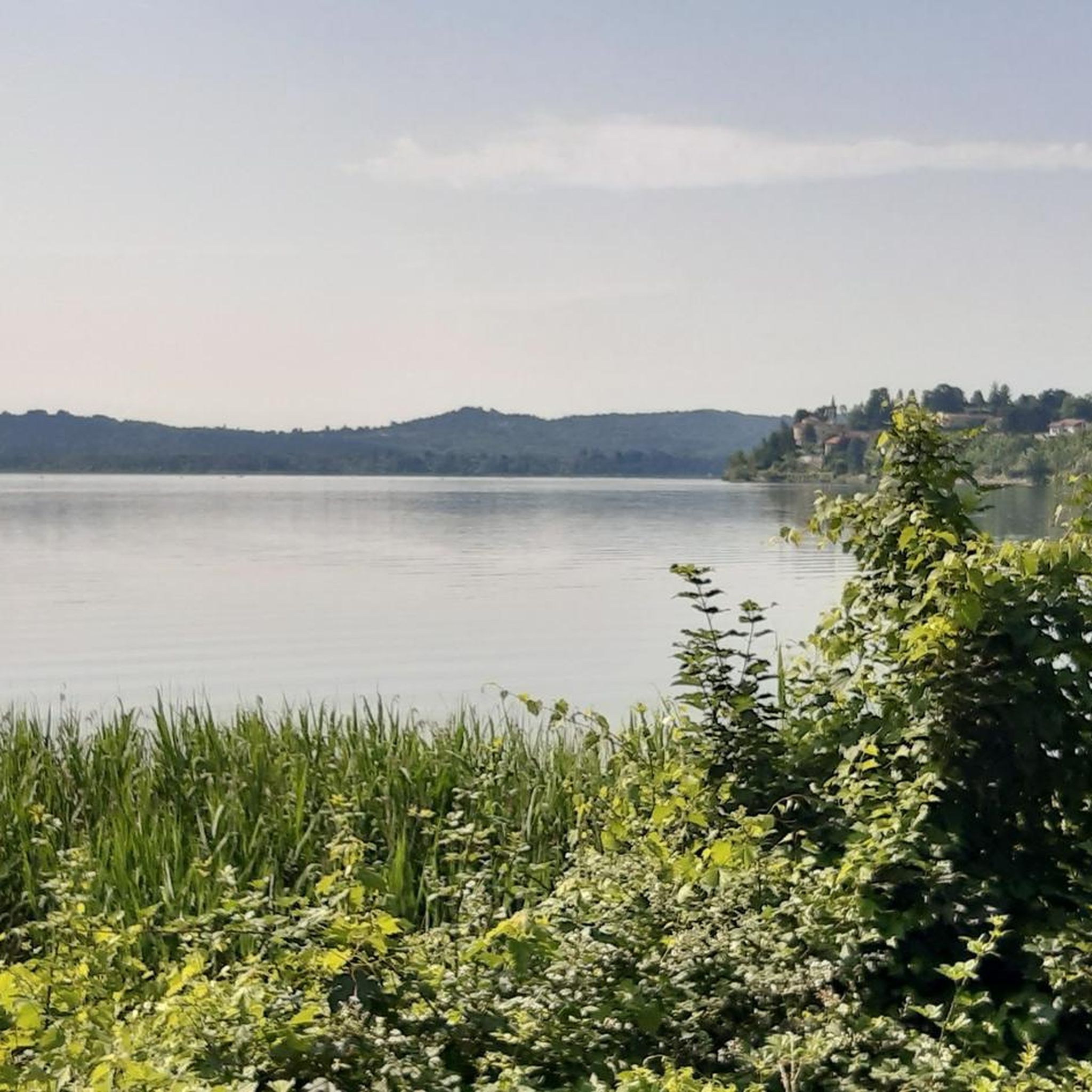
Hiking around Gavirate offers diverse landscapes, from the serene shores of Lake Varese to the challenging terrain of Campo dei Fiori Regional Park. The region features rolling hills, dense chestnut and beech woods, and marshlands like Palude Brabbia Bog. Trails often follow the Bardello River or lead to natural features such as the Molina waterfall. This varied topography provides a range of hiking experiences.
Best hiking trails around Gavirate
- The most popular hiking route is Devil's Bridge from Gropello Loop…
Last updated: July 7, 2026
3.9
(37)
81
hikers
6.86km
01:56
150m
150m
Easy hike. Great for any fitness level. Easily-accessible paths. Suitable for all skill levels.
3.9
(11)
122
hikers
3.34km
00:50
0m
0m
Easy hike. Great for any fitness level. Easily-accessible paths. Suitable for all skill levels.

Sign up for free
4.4
(13)
61
hikers
11.4km
04:23
800m
800m
Moderate hike. Good fitness required. Mostly accessible paths. Sure-footedness required.
3.6
(11)
27
hikers
5.51km
01:48
240m
240m
Easy hike. Great for any fitness level. Easily-accessible paths. Suitable for all skill levels.
4.0
(1)
9
hikers
13.5km
04:22
550m
550m
Moderate hike. Good fitness required. Mostly accessible paths. Sure-footedness required.
Get access to more routes and recommendations from other explorers.
Sign up for free
Already have an account?
Our route recommendations are based on thousands of hikes, rides, and runs completed by other people on komoot.
Start today with a free account
Your next adventure awaits.
Login or Signup
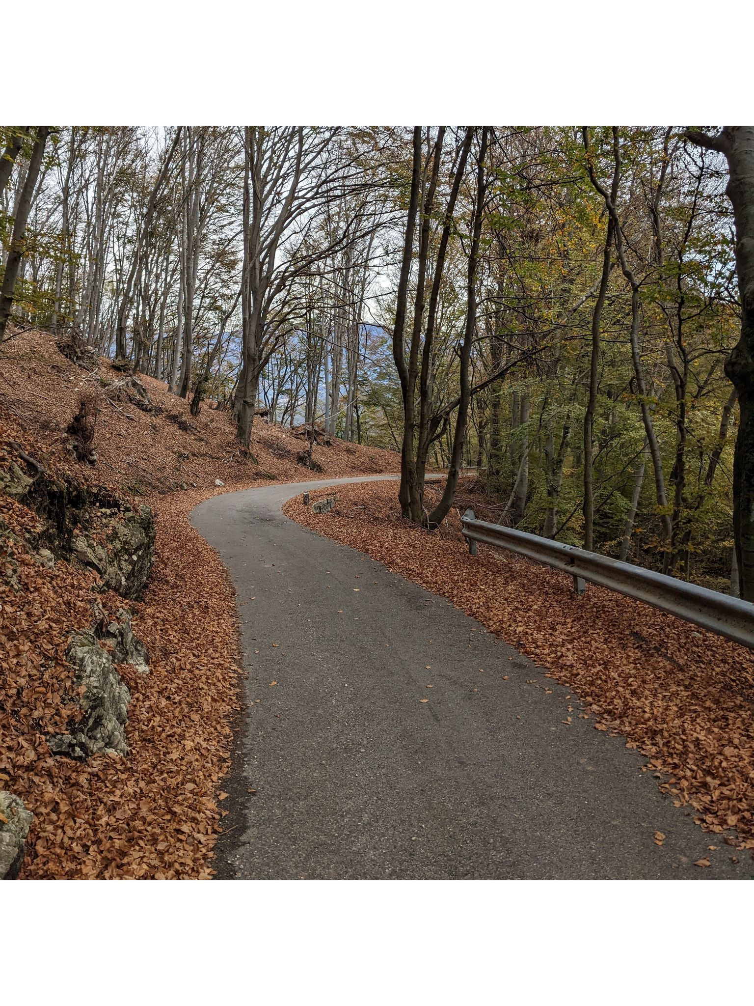
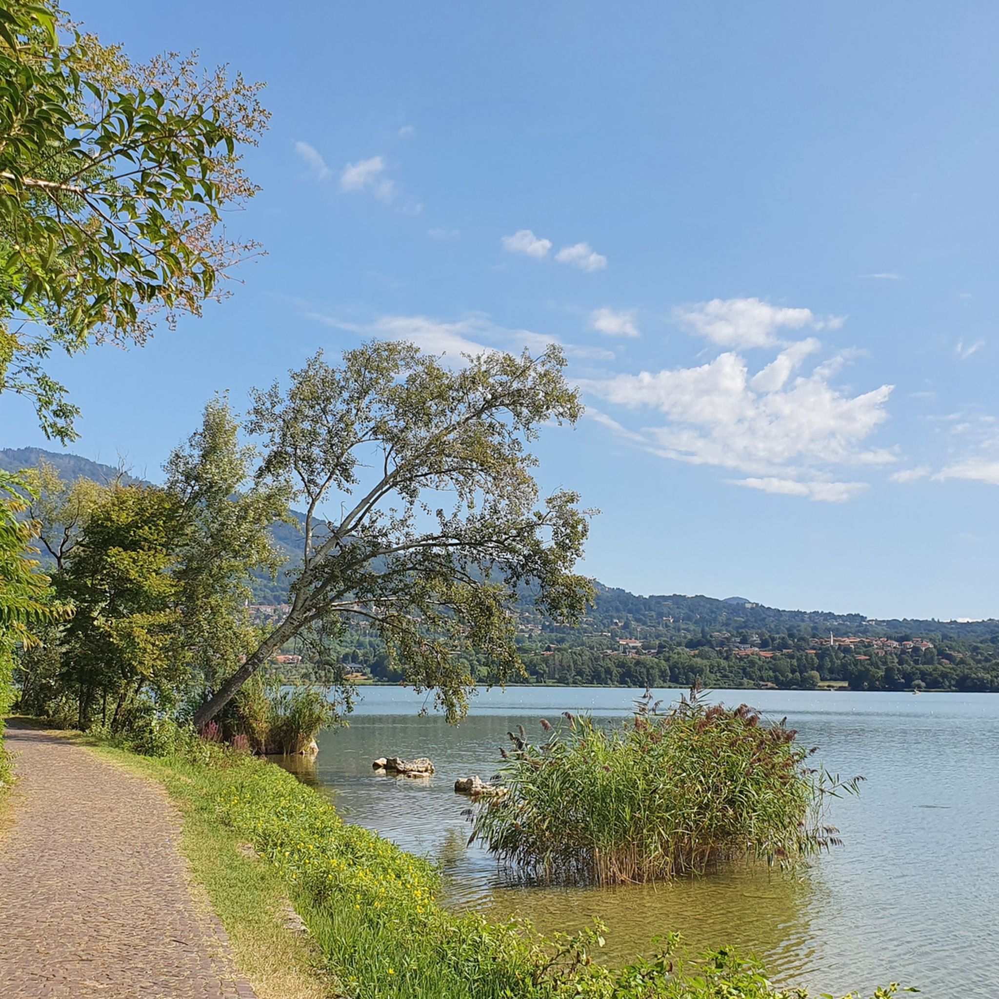
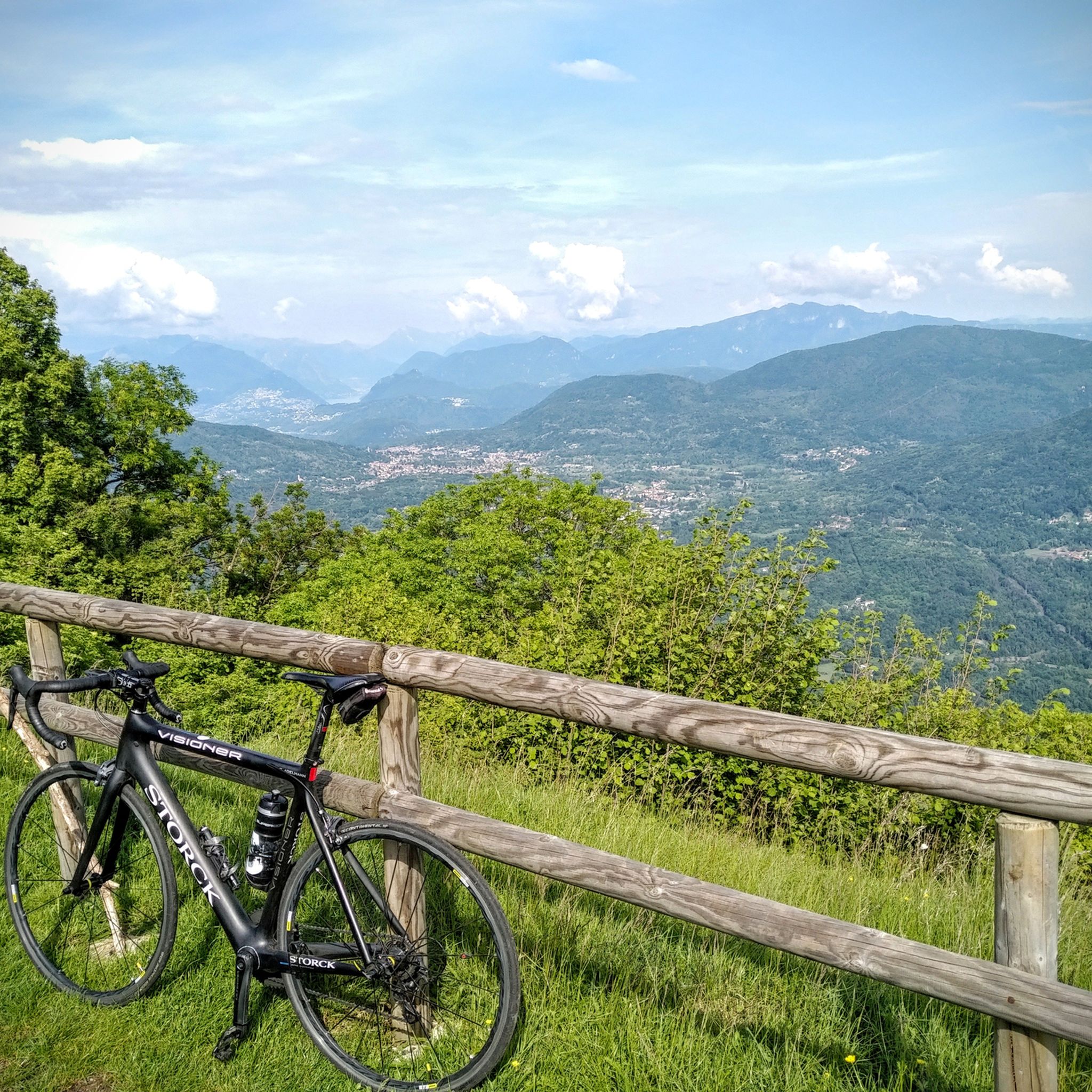
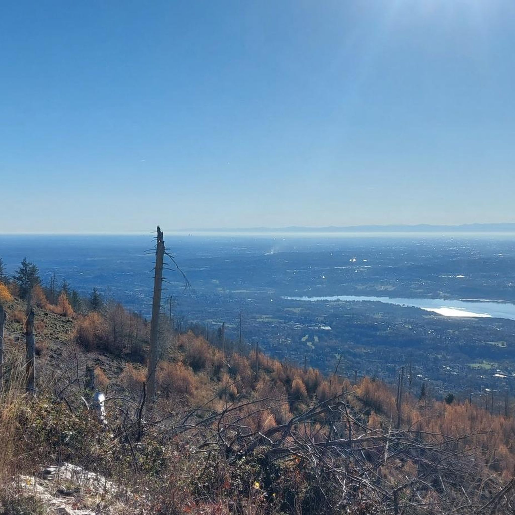

Other adventures around Gavirate

Tips from the Community

Be careful when crossing with other cyclists
0
0


You pass over it along the cycle path
0
0

A small lake surrounded by greenery, near the hill of the same name. Very quiet place with a small dock.
3
0
This small bridge over the Bardello river could be one of the most beautiful points along the Lake Varese cycle path. It crosses the Chiusa at the entrance to Val di Bossa and continues in the direction of Gavirate.
1
0
Lido di Gavirate, with its panoramic view and numerous places for an aperitif or a quick meal, is a fascinating meeting point. Along the way, connected to the cycle path, it offers stops in bars, playgrounds and green areas with the presence of ducks and geese. An ideal place for walking the dogs and enjoying ice creams. During the summer, it becomes a lively meeting point with parties and activities, while offering paid parking.
2
0
Frequently Asked Questions
How many hiking trails are available around Gavirate?
There are over 35 hiking trails around Gavirate, offering a diverse range of experiences from easy lakeside strolls to more challenging mountain ascents. You'll find 13 easy routes, 15 moderate routes, and 7 difficult routes to explore.
Are there any easy, family-friendly walks in Gavirate?
Yes, Gavirate offers several easy, family-friendly options. The Lake Varese Cycle and Pedestrian Trail is a flat, scenic path perfect for relaxed walks along the lake, easily accessible from Lido di Gavirate. Another gentle option is the Motta d'Oro Pond Loop, which is also rated as easy.
Can I find circular hiking routes in Gavirate?
Absolutely. Many trails in Gavirate are designed as loops, allowing you to start and end in the same location. Examples include the easy Devil's Bridge from Gropello Loop and the moderate Campo dei Fiori Loop Trail, which offers diverse natural scenery and panoramic views.
Are there any hikes with waterfalls or caves in the Gavirate area?
Yes, for those interested in natural features, the Devil's Bridge from Gropello Loop features the Molina waterfall and unique caves. You can also explore other caves in the region, such as the Devil’s Bridge and Cave or the Remeron Cave.
What are the best trails for panoramic views in Gavirate?
For breathtaking panoramic views, consider the moderate Forte di Orino from Lago di Varese trail. This route ascends through shady forests to the former artillery position of Forte di Orino, offering magnificent vistas. The Campo dei Fiori Loop Trail also provides excellent panoramic viewpoints within the regional park.
What kind of terrain can I expect on hikes around Gavirate?
The terrain around Gavirate is highly varied. You'll find flat, paved cycle and pedestrian paths along Lake Varese, dirt roads, and dedicated trails through dense chestnut and beech woods. For more challenging hikes, expect rolling hills and mountains with significant elevation gain, particularly in the Campo dei Fiori Regional Park.
Are there any historical or cultural landmarks to see while hiking near Gavirate?
Yes, the region is rich in history. For example, the Chiostro della Chiesa di S. Michele cloister in Voltorre, a national monument built in 1100, is just a short distance from Gavirate. While specific hiking routes might not directly pass through it, many trails are in proximity to such historical sites, offering a blend of nature and culture.
What do other hikers say about the trails in Gavirate?
The trails in Gavirate are highly regarded by the komoot community, with an average rating of 3.9 stars from over 340 reviews. Hikers often praise the diverse landscapes, from the serene lakeside paths to the challenging forest trails, and the rewarding panoramic views from higher elevations.
Are there any huts or restaurants along the hiking trails in Gavirate?
Yes, you can find several huts and restaurants in the vicinity of Gavirate's hiking trails. Notable options include the Pian delle Noci Hut, Restaurant Capanna Casa Alpina “Giulio de Grandi Adamoli”, and Ristoro San Michele al Monte, providing places to rest and refuel during your hikes.
What is the best time of year to go hiking in Gavirate?
Gavirate offers hiking opportunities throughout much of the year. Spring and autumn provide pleasant temperatures and vibrant scenery, with blooming flowers or colorful foliage. Summer is also popular, especially for lakeside walks, though higher elevation trails can offer cooler air. Even in winter, some lower-altitude paths remain accessible, offering a different, tranquil experience.
Are there any birdwatching opportunities on the trails?
Yes, the Palude Brabbia Bog, a well-preserved lowland peat bog near Gavirate, is a significant birdwatcher's paradise. While not a specific hiking trail, some paths in the area may offer access or views towards this protected wetland, managed by LIPU (Italian society for the protection of birds).
Most popular attractions around Gavirate

Get inspired with the komoot mobile app


Explore more
Browse the best Hikes in other regions.
