The best walks and hikes around Andalo Valtellino
4.5
(6373)
32,029
hikers
659
hikes
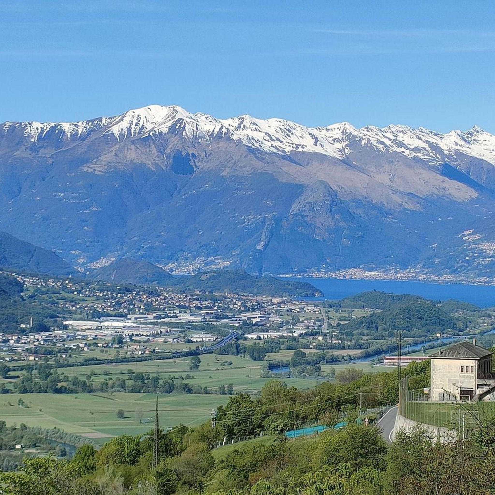
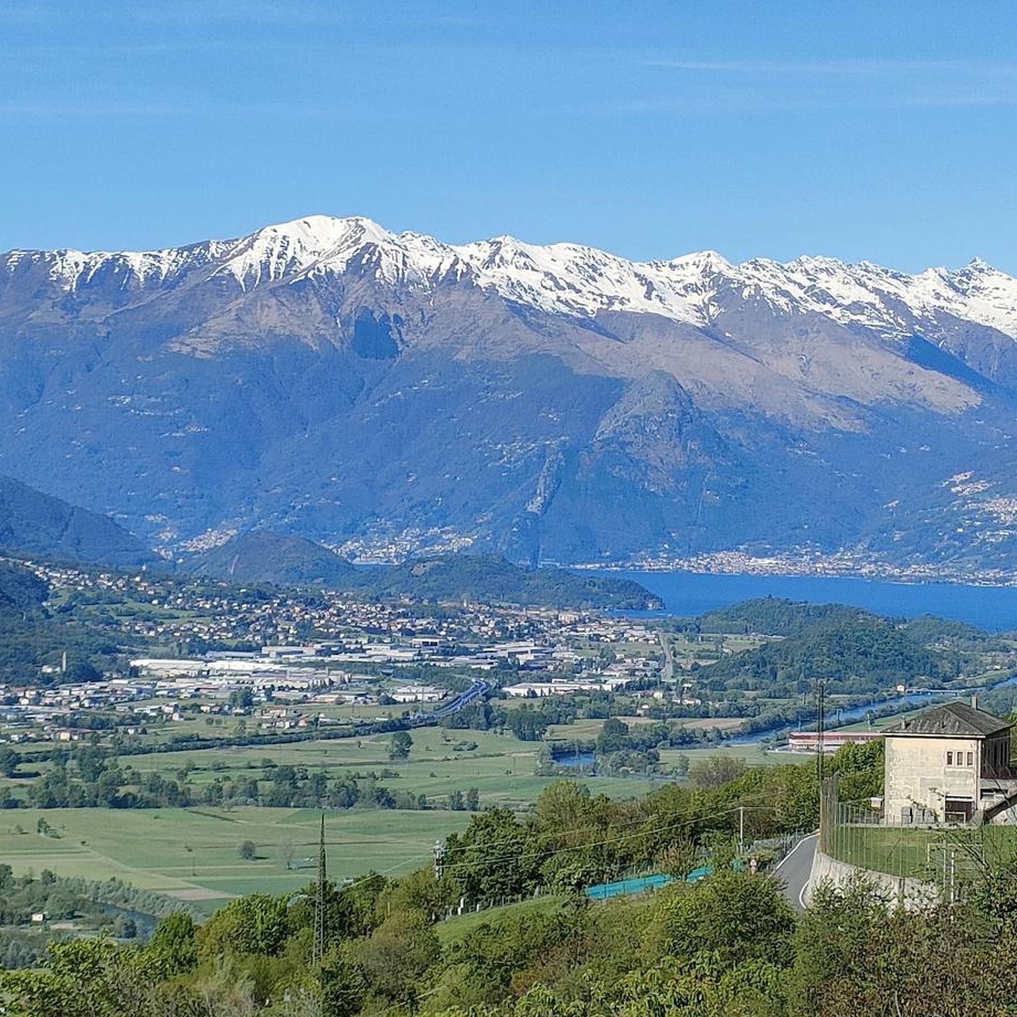
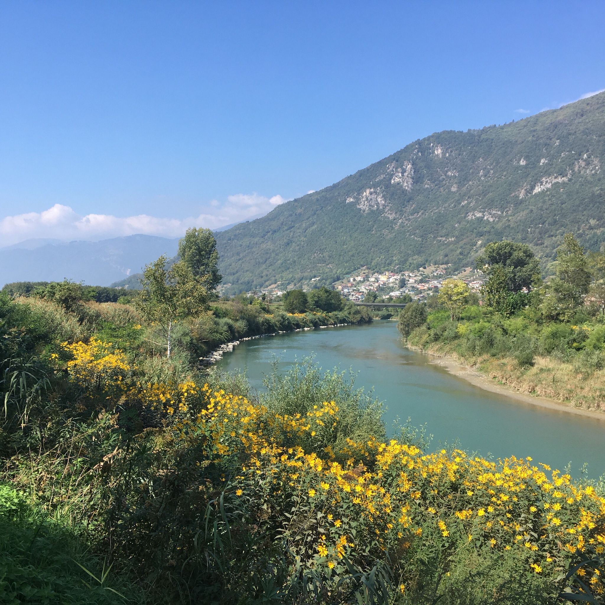
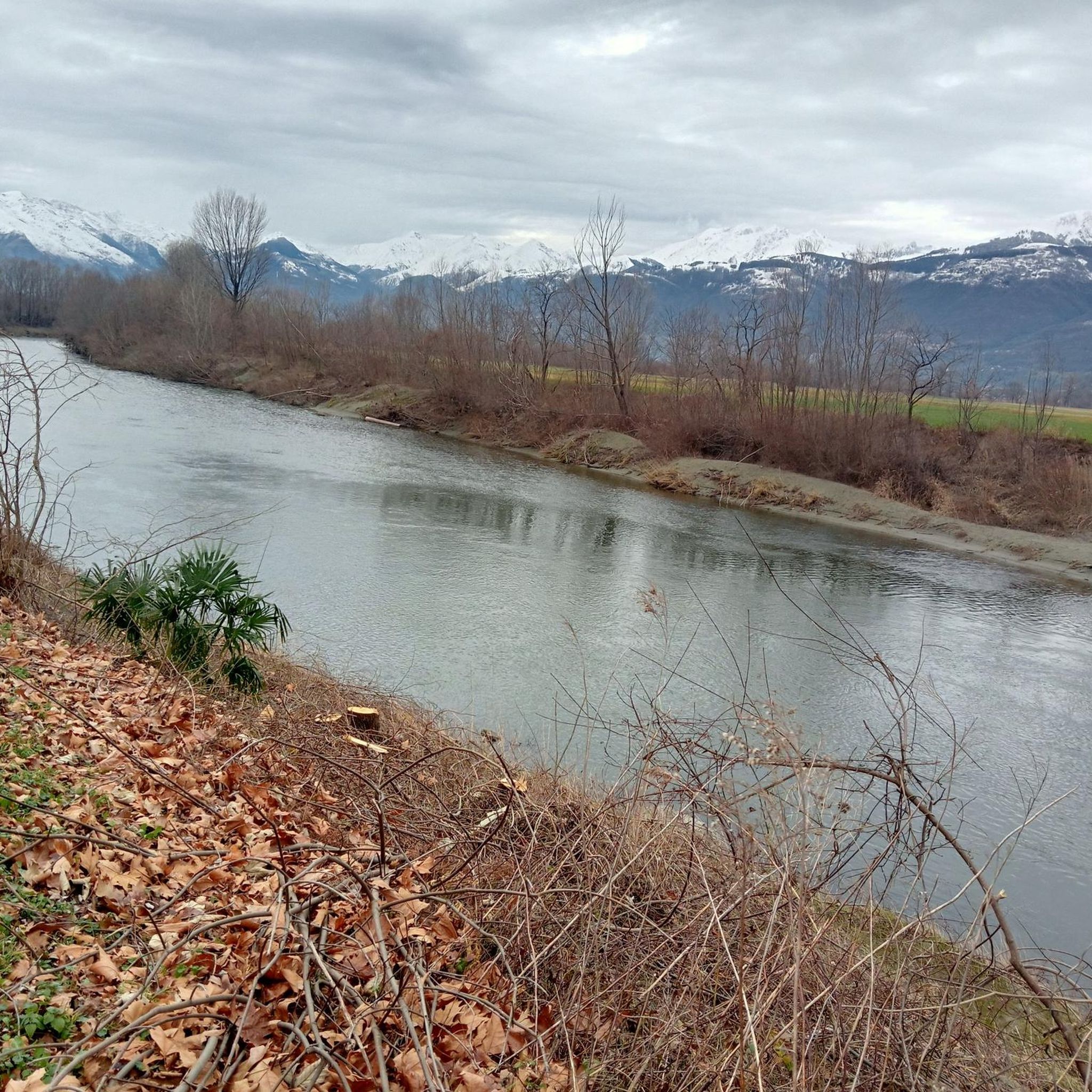
Hiking around Andalo Valtellino offers diverse landscapes within the Valtellina region of Lombardy, Italy. The area is situated within the Parco delle Orobie Valtellinesi, featuring wild valleys, meadows, and mountain peaks. Hikers can explore serene forests of larch and fir, as well as the shores of the Adda river and the Val Lesina. The terrain includes high-altitude trails, canyons, and waterfalls, providing varied experiences for outdoor enthusiasts.
Best hiking trails around Andalo Valtellino
- The most popular hiking route is From Delebio to Rifugio Legnone – loop tour (first stage GVO), a 9.4 miles (15.2 km) difficult trail that takes 7 hours 2 minutes to complete. This route offers a challenging ascent towards Rifugio Legnone.
- Another top favourite among local hikers is La Piazza Village (990 m) – Monastery loop from Dubino, a moderate 6.4 miles (10.2 km) path. This trail explores the village of La Piazza and includes a monastery loop, with an elevation gain of 770 meters.
- Local hikers also love the Foce dell'Adda Beach – View of Lake Como from Colico loop from Delebio, a 10.0 miles (16.1 km) trail leading through the Adda river delta and offering views of Lake Como, often completed in about 4 hours 7 minutes.
- Hiking around Andalo Valtellino is defined by alpine environments, protected parklands, and river shores. The extensive network of hiking trails offers options for easy walks, moderate excursions, and difficult alpine treks.
- The routes in Andalo Valtellino are highly rated by the komoot community with an average score of 4.5 stars from over 5,600 reviews. More than 29,000 hikers have used komoot to explore Andalo Valtellino's varied terrain.
Last updated: July 10, 2026
3.5
(2)
18
hikers
15.2km
07:03
1,440m
1,440m
Hard hike. Very good fitness required. Sure-footedness, sturdy shoes and alpine experience required.
4.0
(6)
22
hikers
10.4km
04:09
770m
770m
Moderate hike. Good fitness required. Easily-accessible paths. Suitable for all skill levels.

Sign up for free
4.8
(5)
21
hikers
Moderate hike. Good fitness required. Easily-accessible paths. Suitable for all skill levels.
4.5
(6)
15
hikers
10.8km
04:00
680m
680m
Moderate hike. Good fitness required. Easily-accessible paths. Suitable for all skill levels.
4.5
(2)
14
hikers
16.7km
06:29
1,180m
1,180m
Hard hike. Very good fitness required. Easily-accessible paths. Suitable for all skill levels.
Get access to more routes and recommendations from other explorers.
Sign up for free
Already have an account?
Our route recommendations are based on thousands of hikes, rides, and runs completed by other people on komoot.
Start today with a free account
Your next adventure awaits.
Login or Signup

Tips from the Community


Ossiccio, divided into "Osiccio di Sopra" and "Osiccio di Sotto", is a small town in Valtellina. It is an excellent starting point for exploring Mount Legnone and the Larian Prealps. Ossiccio enjoys excellent views, and it is also possible to get there by car.
4
0
The Val Lesina regional forest, located within the Orobie Valtellinesi regional park, is an almost intact natural sanctuary, with little human presence. This area offers extraordinary ecological diversity, with deciduous forests, conifers, green alder and rhododendron shrublands, high altitude prairies and rocky environments. The forest, witness to ancient pastoral and silvicultural activities, is accessible via a historic mule track used during the construction of the Cadorna Line. An immersion in nature and history.
3
0
Immersed in the heart of the Orobic Prealps, the Alpe Legnone refuge is an oasis of peace at 1,696 meters above sea level. After a 4-hour climb from Delebio, a breathtaking view of the surrounding valleys and the peaks of Mont Blanc and Monte Rosa awaits you. Open only in summer, it is the ideal starting point for exploring Mount Legnone.
2
0
Frequently Asked Questions
How many hiking trails are available in Andalo Valtellino?
Andalo Valtellino offers a wide selection of hiking opportunities, with over 650 routes available. These range from easy strolls to challenging alpine treks, catering to various fitness levels and preferences.
What kind of terrain can I expect on hikes around Andalo Valtellino?
The terrain around Andalo Valtellino is highly diverse. You can expect to find serene forests of larch and fir, high-altitude alpine environments within the Valtellina Alps, wild valleys and meadows of the Parco delle Orobie Valtellinesi, and paths along the Adda river shore and Val Lesina. The area also features dramatic canyons, mountain peaks, and picturesque waterfalls.
Are there easy hiking options suitable for beginners or families?
Yes, Andalo Valtellino has plenty of easy hiking options. There are over 140 routes classified as easy, perfect for beginners or families looking for a relaxed outdoor experience. These paths often take less than two hours and are suitable for all skill levels.
Can I find challenging hikes for experienced trekkers?
Absolutely. For experienced hikers, Andalo Valtellino offers over 230 difficult trails. These routes often involve significant elevation gains and can last over five hours, requiring good fitness, sure-footedness, sturdy shoes, and alpine experience. An example of a challenging route is the From Delebio to Rifugio Legnone – loop tour (first stage GVO), which features a demanding ascent.
Are there any circular hiking routes in the area?
Yes, many trails in Andalo Valtellino are designed as loops, allowing you to start and end at the same point. For instance, the La Piazza Village (990 m) – Monastery loop from Dubino is a moderate circular path exploring the village and its surroundings. Another option is the Foce dell'Adda Beach – View of Lake Como from Colico loop from Delebio, which offers views of Lake Como.
What natural attractions or viewpoints can I discover on the trails?
The trails around Andalo Valtellino lead to numerous natural attractions and offer stunning viewpoints. You can explore summits like Monte Legnone Summit or Pizzo dei Tre Signori, or visit the Pian di Spagna and Lake Mezzola Nature Reserve. The area is also rich in waterfalls and dramatic canyons.
Are there any waterfalls I can visit while hiking?
Yes, the region boasts several beautiful waterfalls. You can discover the Waterfalls of the Valle Le Valene Stream or find picturesque spots like the Waterfall and Witches' Cottage. Many trails incorporate these natural features into their routes, offering scenic breaks.
What do other hikers say about the trails in Andalo Valtellino?
The hiking trails in Andalo Valtellino are highly regarded by the komoot community, with an average rating of 4.5 stars from over 5,600 reviews. Hikers frequently praise the diverse landscapes, from alpine peaks to tranquil river shores, and the well-maintained network of paths that cater to all abilities.
Is Andalo Valtellino suitable for dog-friendly hikes?
While specific regulations for dogs can vary by trail or protected area, generally, the diverse natural environment of Andalo Valtellino offers many opportunities for hiking with dogs. It's always advisable to keep dogs on a leash, especially in protected areas like the Parco delle Orobie Valtellinesi, and to check local signage for any specific restrictions.
What is the best time of year for hiking in Andalo Valtellino?
The best time for hiking in Andalo Valtellino is typically from spring through autumn. During these seasons, the weather is generally mild, and the trails are clear of snow, allowing access to both forest paths and higher alpine routes. Summer offers lush greenery, while autumn brings vibrant colors to the forests.
Are there any historical or cultural points of interest along the hiking routes?
Yes, many hiking routes in Andalo Valtellino intertwine with cultural elements. The famous Sentiero del Viandante passes through the historic center of Andalo Valtellino, where you can see restored buildings and the parish church. You might also encounter ancient bridges or mountain refuges that offer a glimpse into the region's heritage.
Can I access trails using public transport, or is parking readily available?
Access to trails in Andalo Valtellino can vary. While some trailheads might be accessible via local public transport, many routes, especially those leading into more remote alpine areas, often require private vehicle access. Parking is generally available near popular starting points, but it's always recommended to check specific route details for parking information.
Most popular routes around Andalo Valtellino
Most popular attractions around Andalo Valtellino

Get inspired with the komoot mobile app


Explore more
Browse the best Hikes in other regions.
