The best mountain hikes around Novate Mezzola
4.5
(10)
80
hikers
9
hikes
Mountaineering around Novate Mezzola offers diverse and challenging routes within the Lombardy region of Italy. The area is characterized by the Valchiavenna and Val di Mello, featuring prominent peaks such as Piz Badile (3,308 m) and Piz Cengalo (3,370 m), alongside Monte Berlinghera (1,930 m). The landscape includes rugged alpine terrain, numerous waterfalls, and canyons, with Lake Mezzola reflecting the surrounding mountains. This region provides a variety of mountaineering experiences, from high-altitude treks to technical rock climbing.
Best mountaineering routes…
Last updated: August 28, 2026
4.5
(2)
46
hikers
3.43km
02:47
440m
440m
Hard mountaineering route. Good fitness required. Sure-footedness, sturdy shoes and alpine experience required.
3.7
(3)
10
hikers
6.96km
02:04
170m
170m
Moderate mountaineering route. Good fitness required. Mostly accessible paths. Sure-footedness required.

Sign up for free
5.0
(1)
3
hikers
12.3km
05:44
980m
980m
Hard mountaineering route. Very good fitness required. Mostly accessible paths. Sure-footedness required.
6
hikers
7.51km
03:34
630m
620m
Moderate mountaineering route. Good fitness required. Mostly accessible paths. Sure-footedness required.
4.8
(4)
5
hikers
3.92km
01:51
300m
300m
Hard mountaineering route. Great for any fitness level. Sure-footedness, sturdy shoes and alpine experience required.
Get access to more routes and recommendations from other explorers.
Sign up for free
Already have an account?
Our route recommendations are based on thousands of hikes, rides, and runs completed by other people on komoot.
Start today with a free account
Your next adventure awaits.
Login or Signup
Popular around Novate Mezzola
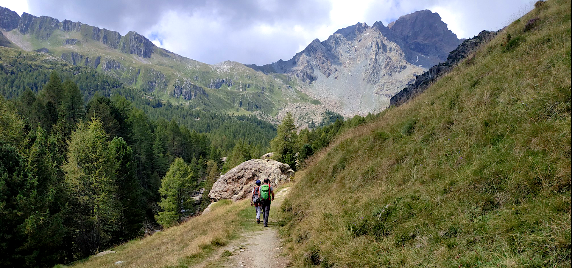
Sentiero Roma — A thrilling trekking adventure at high altitude
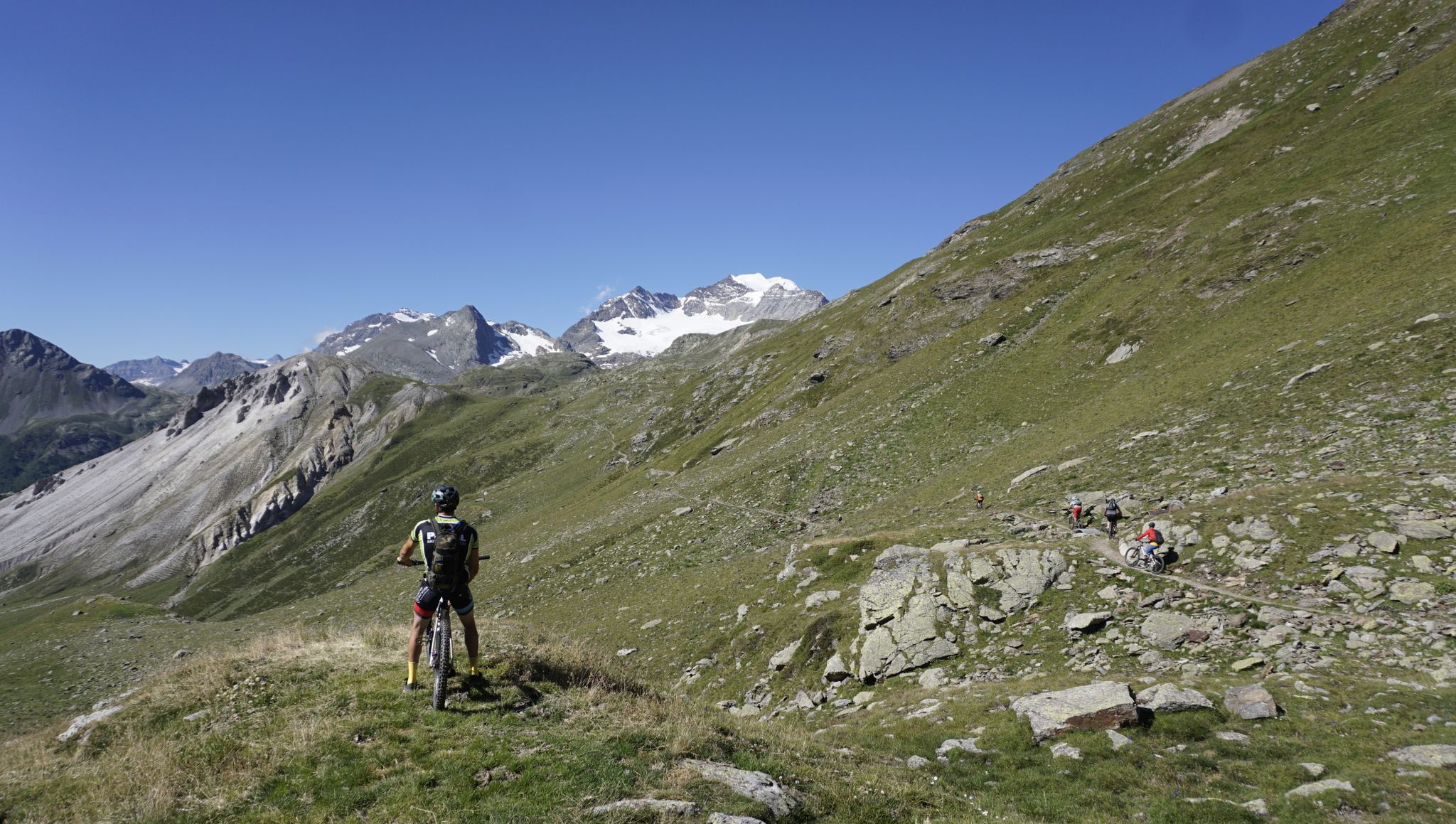
MTB Transalp Lake Como – From the Zugspitze to Lake Como
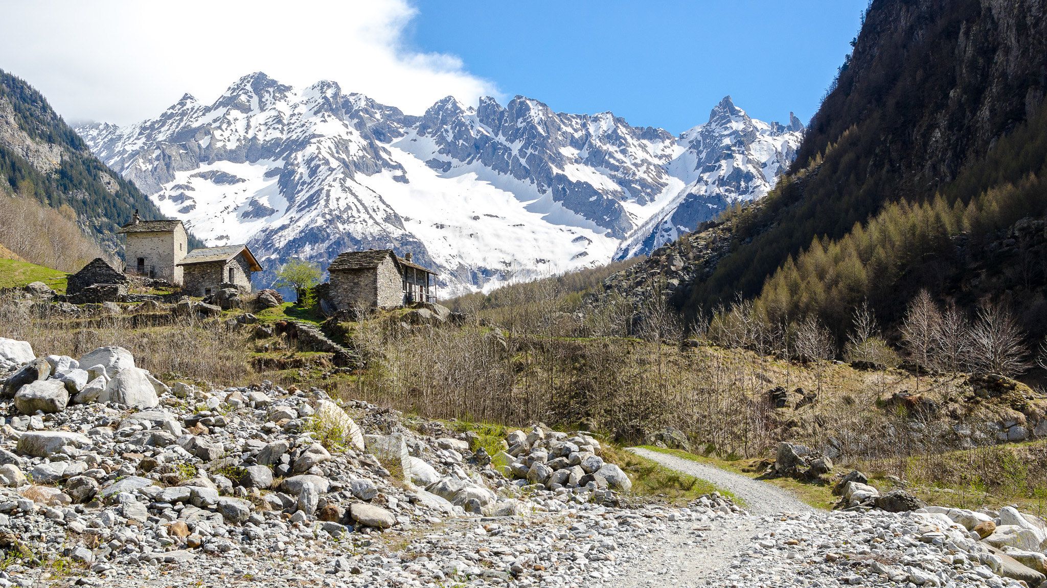
3 nights in Val Codera – a taste of Italy’s Sentiero Bonatti and the Tracciolino
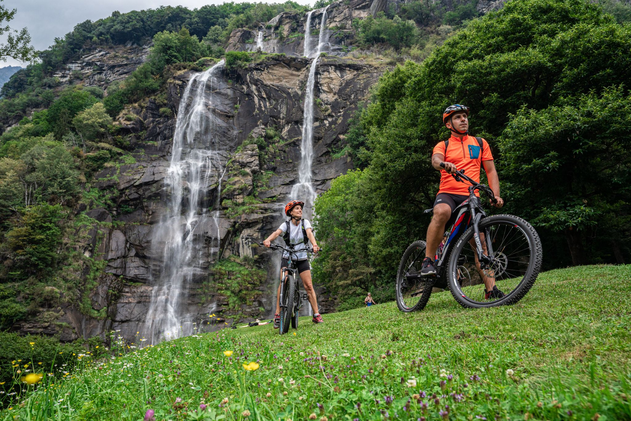
La Valchiavenna in MTB – itinerari da non perdere
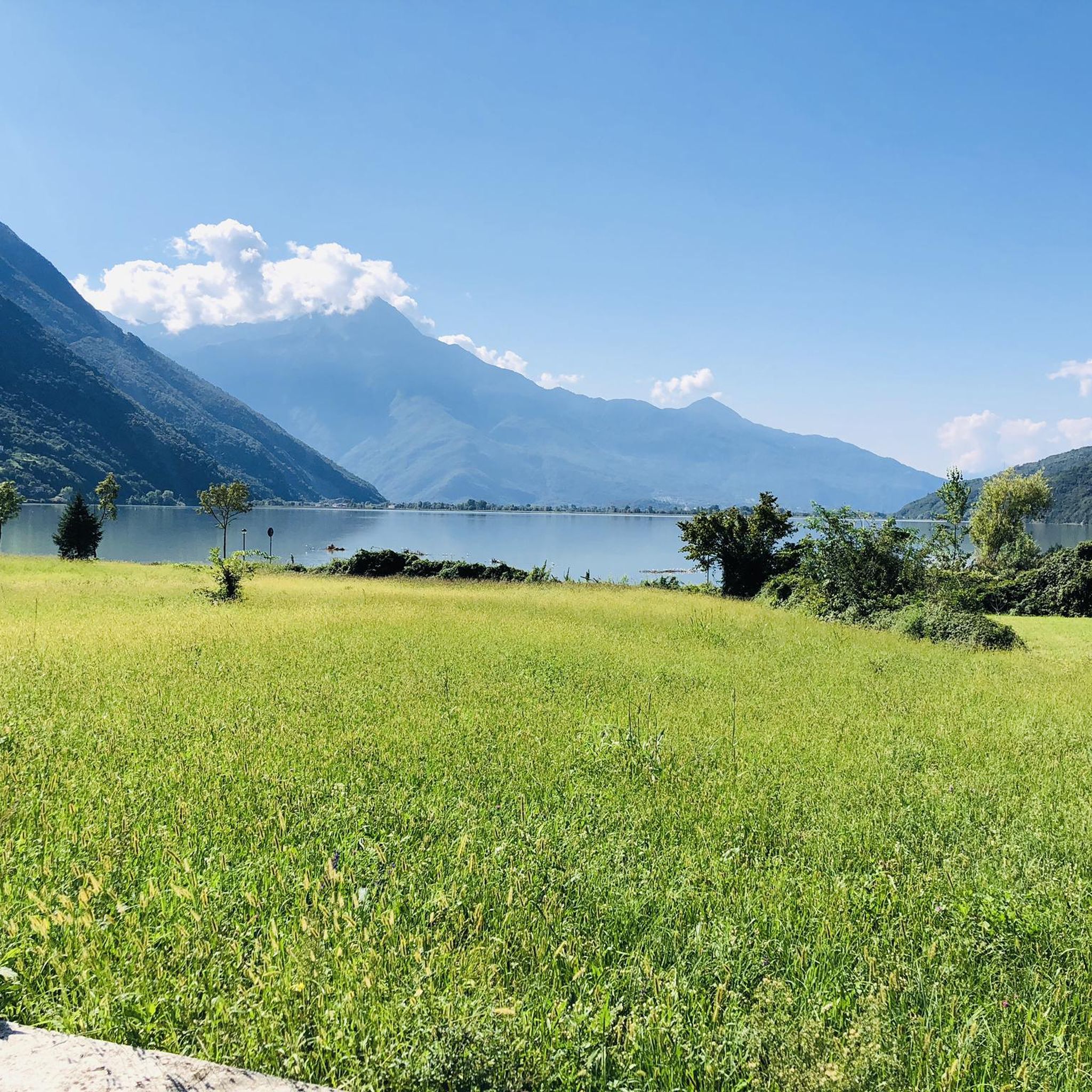
MTB Trails around Novate Mezzola
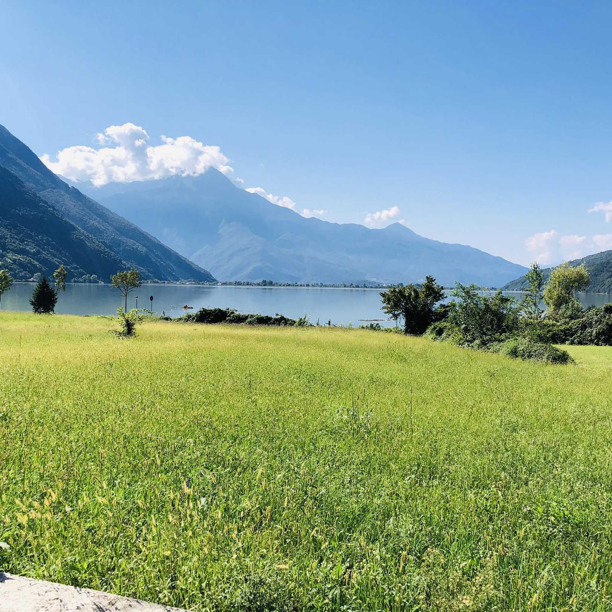
Road Cycling Routes around Novate Mezzola
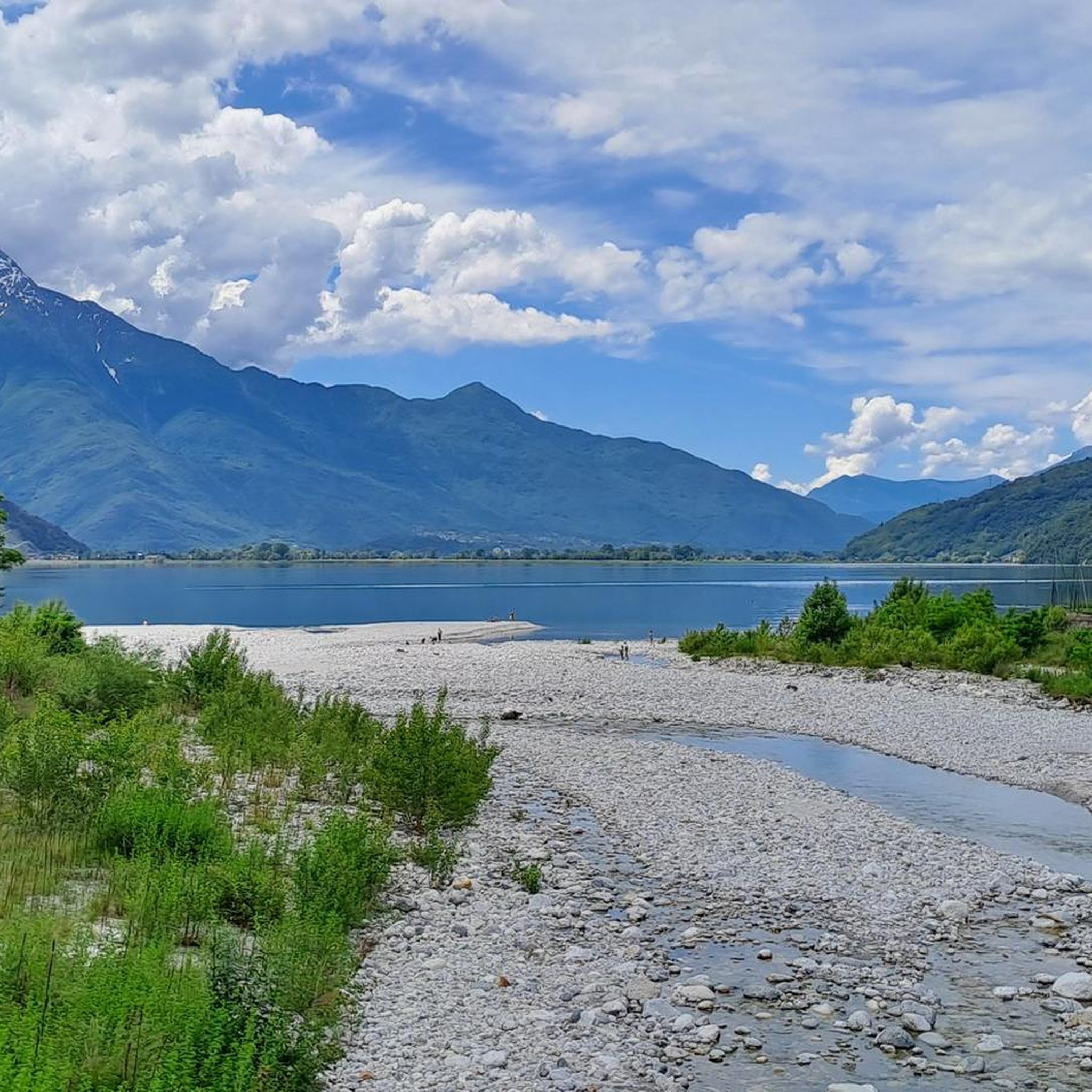
Hiking around Novate Mezzola
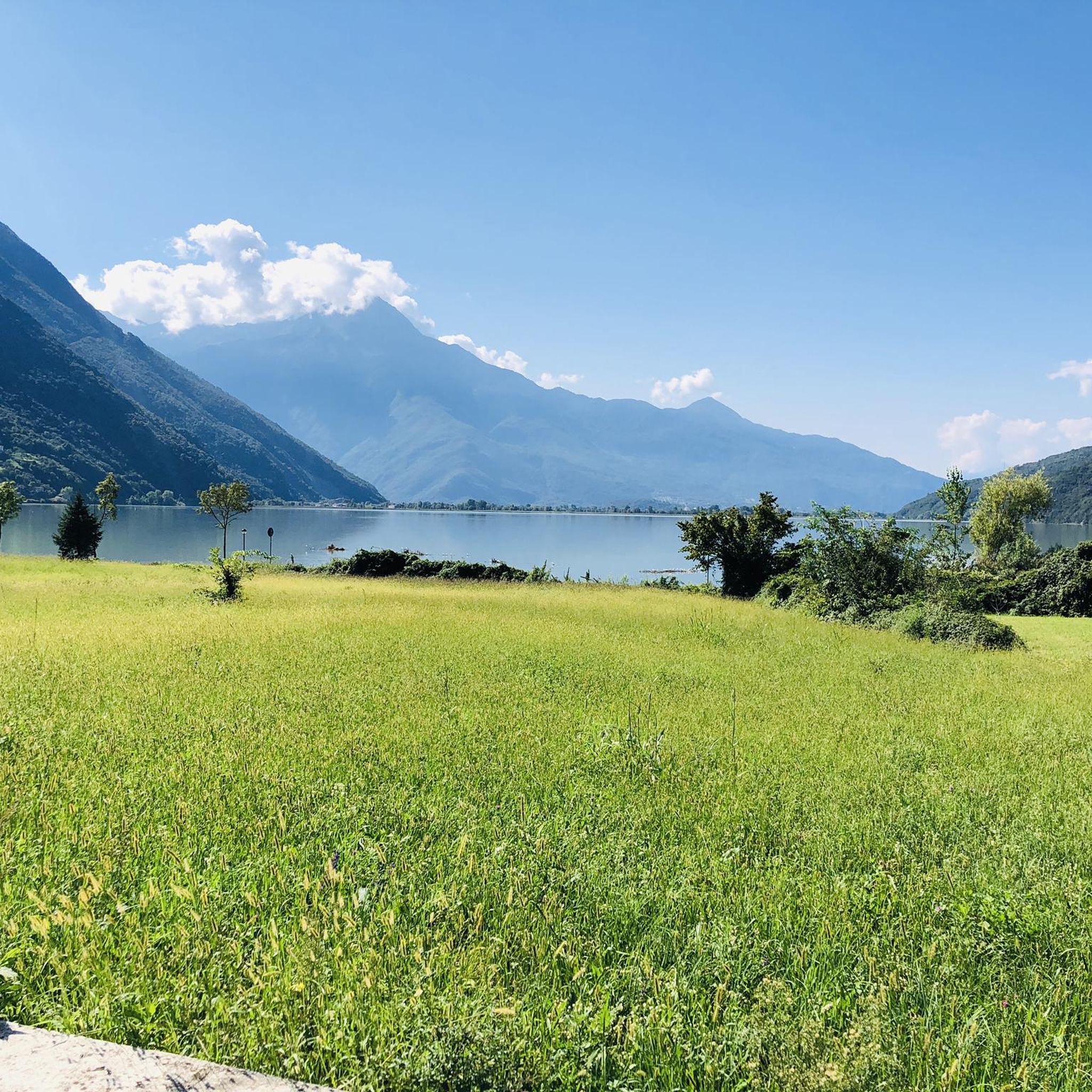
Cycling around Novate Mezzola
Gravel biking around Novate Mezzola
Running Trails around Novate Mezzola
Other adventures around Novate Mezzola


Tips from the Community

Nice place for a break
0
0

Beautiful, very scenic
0
0

As of July 2026 The trail is walkable and rideable for approx. 5 km, and also permitted. After that, the path is closed, and you have to ride back the same way. But that doesn't matter. I found the route great.
1
0

Rifugio Luna Nascente https://youtu.be/HAschMaAGKg
5
1

The same church is located right next to the parking lot. From there, you have a breathtaking view of Lake Como.
0
0

beautiful waterfalls and a scenic route
0
0


Frequently Asked Questions
How many mountaineering routes are available in Novate Mezzola, and what are their difficulty levels?
Novate Mezzola offers a diverse selection of mountaineering routes. There are over 15 routes in total, with 5 classified as moderate and 10 as difficult, providing options for various skill levels.
Are there any mountaineering routes suitable for beginners in Novate Mezzola?
While many routes are challenging, the area does offer moderate options. For instance, the View of Valtellina Valley loop from Montemezzo is a moderate 7.4 km trail that provides panoramic views without extreme technical difficulty, making it a good starting point for those with some experience.
What are some of the more challenging mountaineering routes for experienced climbers?
For experienced mountaineers, routes like the View of Sasso Bianco – Alpe di Mezzo loop from Montemezzo present a significant challenge with substantial elevation gain. The region also features high alpine terrain in the Bergell Alps, including demanding sections on the Sentiero Roma, such as the Passo della Trubinasca and Passo Porcelizzo, which can involve chains and frozen conditions even in late summer.
Can I find routes that feature waterfalls or other significant natural features?
Yes, the region is rich in natural beauty. The Behind the Waterfall – Village of Codera loop from Novate Mezzola specifically highlights a waterfall. You can also explore highlights like the Acqua Fraggia Waterfalls or the Cama Waterfall with Tunnel. The Val di Mello area, featured in routes like the Val di Mello River – Laghetto del Qualido loop from Val Masino, is known for its crystalline waters, granite rocks, and the picturesque Laghetto del Qualido.
Are there any circular mountaineering routes in the area?
Yes, several routes are designed as loops. Examples include the View of Valtellina Valley loop from Montemezzo, the View of Sasso Bianco – Alpe di Mezzo loop from Montemezzo, and the Val di Mello River – Laghetto del Qualido loop from Val Masino, all offering a return to your starting point.
What do other mountaineers enjoy most about the routes in Novate Mezzola?
The mountaineering routes around Novate Mezzola are highly rated by the komoot community, with an average score of 4.9 stars from over 20 reviews. Users frequently praise the challenging alpine terrain, the stunning panoramic views, and the opportunity to experience high mountain passes.
Are there any family-friendly outdoor activities near Novate Mezzola, even if not full mountaineering?
While many mountaineering routes are demanding, the region offers gentler options for families. The Pian di Spagna Nature Reserve, located between Lake Como and Lake Mezzola, is excellent for hiking and bird watching. Additionally, the Valchiavenna cycle/pedestrian path provides an easy, family-friendly route connecting Novate Mezzola to Colico.
When is the best time of year for mountaineering in Novate Mezzola?
The best time for mountaineering in Novate Mezzola is generally from late spring through early autumn (June to September) when the weather is more stable and snow has largely melted from higher elevations. However, some high passes, like Passo Porcelizzo, can retain ice and snow even in late summer, requiring appropriate gear and experience.
Are dogs allowed on the mountaineering trails around Novate Mezzola?
Generally, dogs are allowed on trails in the Novate Mezzola region, but it's always advisable to check specific regulations for protected areas like the Pian di Spagna Nature Reserve. Keep dogs on a leash, especially in areas with wildlife or livestock, and ensure they are fit enough for the terrain.
Are there any permits required for mountaineering in Novate Mezzola?
For general hiking and mountaineering on established trails, permits are typically not required. However, if you plan to undertake technical climbing routes on peaks like Piz Badile or Piz Cengalo, or if you are accessing specific protected areas, it's always best to check with local authorities or mountain guide associations for any specific regulations or access requirements.
Where can I find parking for mountaineering routes in Novate Mezzola?
Parking is generally available near the starting points of many routes. For routes originating from Montemezzo, you can often find parking in or near the village. For trails in Val Masino or Val di Mello, designated parking areas are usually available at the valley entrances or near popular trailheads. Always check local signage for specific parking rules and fees.
Most popular routes around Novate Mezzola
Most popular attractions around Novate Mezzola

Get inspired with the komoot mobile app


Explore more
Browse the best Mountain Hikes & Routes in other regions.
