The best road cycling routes around Titz
4.4
(537)
6,063
riders
19
rides
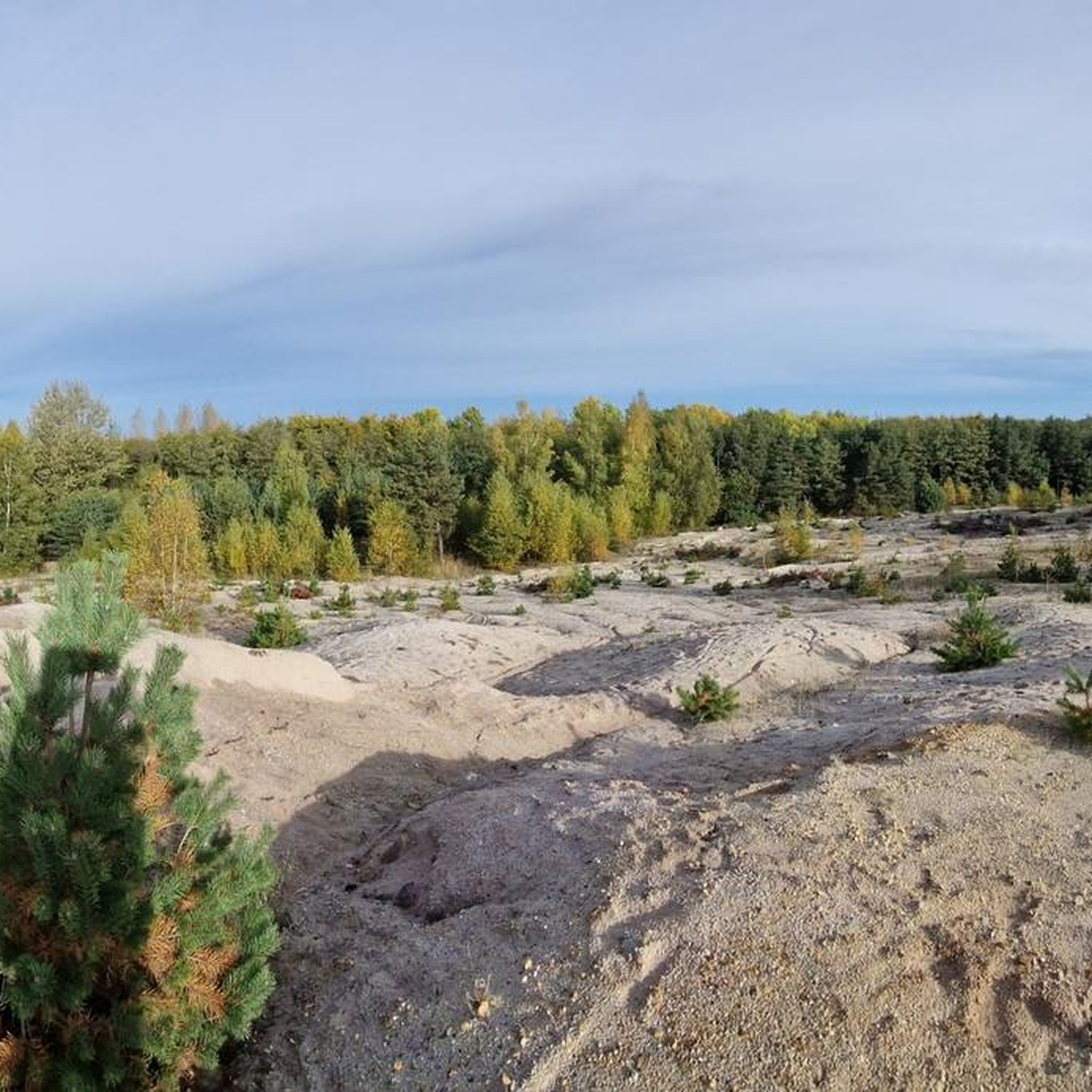
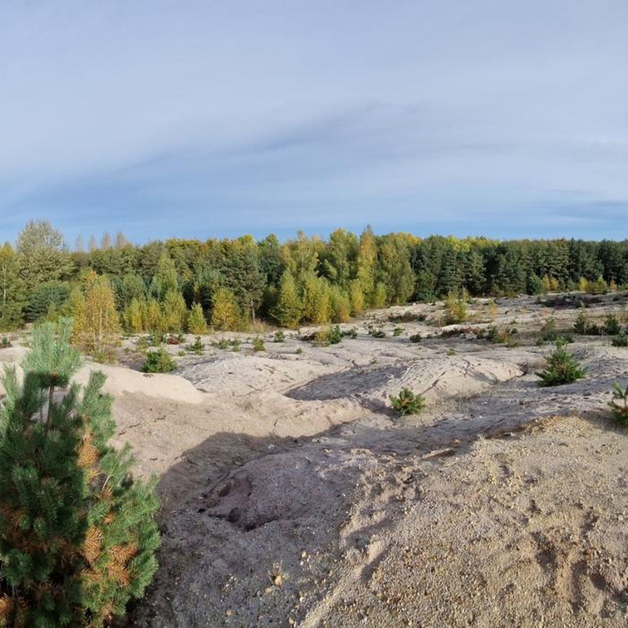
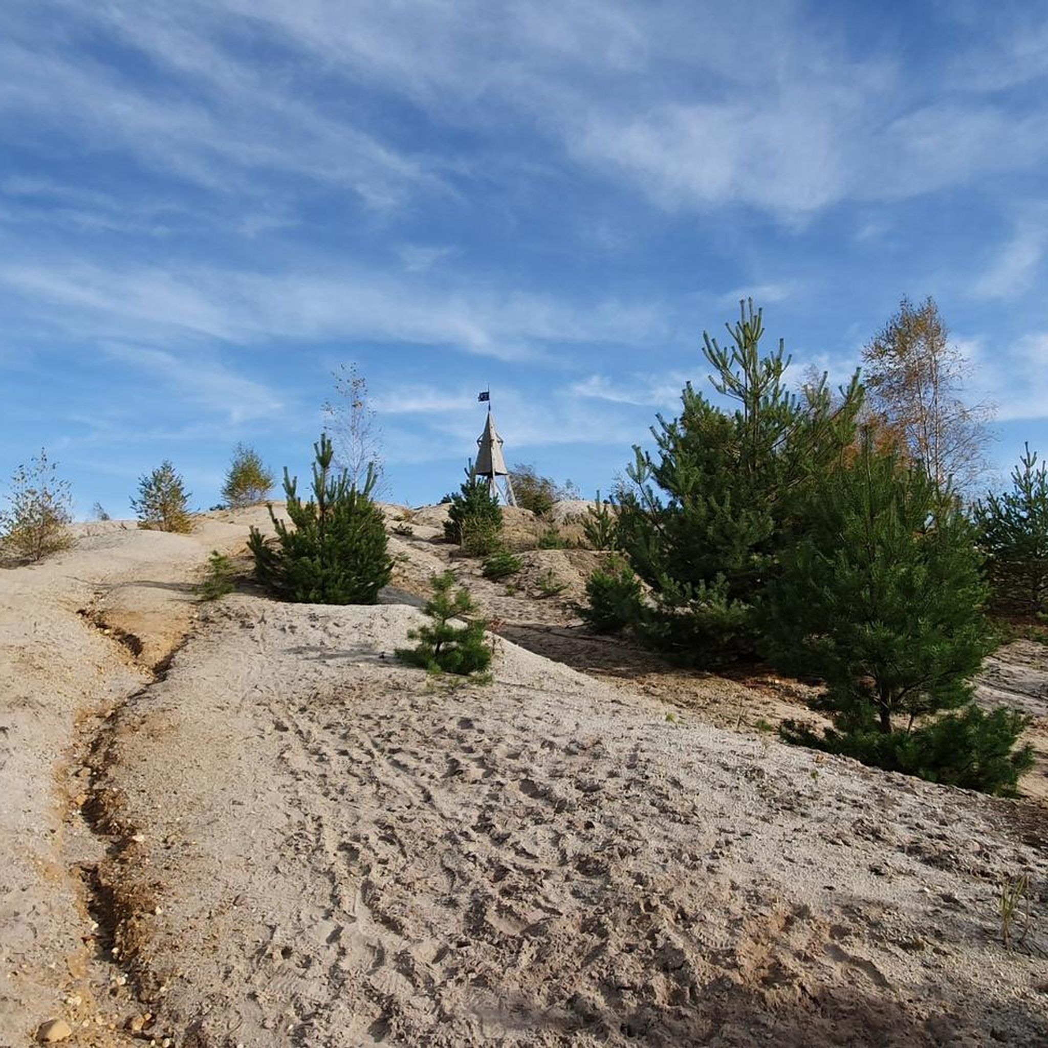
Road cycling around Titz, Germany, features a diverse landscape of flat agricultural plains and gently rolling terrain. The region is characterized by its Bördelandschaft, offering long, open stretches ideal for relaxed rides. Cyclists can also find areas with more varied elevation, particularly near the Hambach open-pit mine, which provides unique viewpoints. Historical sites and well-developed cycle paths further enhance the road cycling experience in this area.
Best road cycling routes around Titz
- The most popular road cycling route is Kückhovener Straße – Nysterbach Country Lane loop from Titz, a 47.4 miles (76.3 km) trail that takes 3 hours 5 minutes to complete. This route navigates through scenic country lanes, characteristic of the local agricultural landscape.
- Another top favourite among local road cyclists is Ascent to Königshovener Höhe – Gustorf Mill loop from Jackerath, a moderate 19.2 miles (30.9 km) path. This route includes a notable ascent, offering views over the surrounding area, potentially near the Hambach open-pit mine.
- Local road cyclists also love the Wooden Bridge over the Rur – Jülich Citadel loop from Jackerath, a 30.2 miles (48.5 km) trail leading through riverine landscapes and past the historic Jülich Citadel, often completed in about 1 hour 56 minutes.
- Road cycling around Titz is defined by flat agricultural landscapes, gently rolling terrain, and unique viewpoints overlooking the Hambach open-pit mine. The network offers options for various ability levels, from easy loops to moderate ascents.
- The routes in Titz are highly rated by the komoot community with an average score of 5.0 stars from 8 reviews. More than 80 road cyclists have used komoot to explore Titz's varied terrain.
Last updated: July 3, 2026
5.0
(1)
41
riders
42.8km
01:47
120m
120m
Moderate road ride. Great for any fitness level. Some segments of this route may be unpaved and difficult to ride.
5.0
(3)
10
riders
76.3km
03:04
250m
250m
Moderate road ride. Good fitness required. Mostly well-paved surfaces and easy to ride.

Sign up for free
14
riders
30.9km
01:29
320m
320m
Moderate road ride. Good fitness required. Mostly well-paved surfaces and easy to ride.
5.0
(1)
11
riders
48.5km
01:55
140m
140m
Easy road ride. Great for any fitness level. Mostly well-paved surfaces and easy to ride.
9
riders
Easy road ride. Great for any fitness level. Mostly well-paved surfaces and easy to ride.
Get access to more routes and recommendations from other explorers.
Sign up for free
Already have an account?
Our route recommendations are based on thousands of hikes, rides, and runs completed by other people on komoot.
Start today with a free account
Your next adventure awaits.
Login or Signup
Tips from the Community

Beautiful and quiet road! Lightly winding profile, nice to look at! :)
1
0

Beautiful village between Bedburg and Jülich.
1
0
The main house dates from the 17th century - anchor bolts on the characteristic square tower show the year 1667.
0
0


Keep going! This is an exemplary cycle path. Unfortunately, it's far too short!
1
0
Frequently Asked Questions
What kind of terrain can I expect when road cycling around Titz?
Titz offers a diverse landscape for road cycling. You'll find a mix of flat agricultural plains, known as the "Bördelandschaft," which are perfect for relaxed rides with long, open stretches. There are also gently rolling terrains, and areas near the Hambach open-pit mine provide more varied elevation and unique viewpoints. Routes like Ascent to Königshovener Höhe – Gustorf Mill loop from Jackerath offer notable ascents.
How many road cycling routes are available in the Titz area?
The Titz region boasts a well-developed network with over 280 cycling routes. For road cycling specifically, komoot features 19 curated routes, ranging from easy loops to more challenging rides, ensuring options for various fitness levels.
What is the best time of year to go road cycling in Titz?
Road cycling in Titz is enjoyable throughout much of the year, but the months of July and August are particularly popular. During this time, the weather is generally favorable for exploring the diverse landscapes and well-developed cycle paths.
Are there routes suitable for beginners or families in Titz?
Yes, Titz offers several easy road cycling routes perfect for beginners or families looking for a relaxed ride. For example, the Wooden Bridge over the Rur – Jülich Citadel loop from Jackerath is an easy 48.5 km trail, and the Rödingen–Güsten Country Road – Jülich Citadel loop from Rödingen is another easy option at 22.4 km.
What landmarks or points of interest can I see along the road cycling routes in Titz?
Many routes in Titz allow you to combine cycling with cultural exploration. You can visit historical sites like the Paffendorf Castle, a picturesque moated castle, or the historic Jülich Citadel. Some routes also trace parts of the ancient "Via Belgica" or the scenic "Water Castles Route." Additionally, you can experience the unique scale of the Hambach open-pit mine from viewpoints like Forum :terra nova.
Are there any circular road cycling routes in Titz?
Yes, many of the road cycling routes around Titz are designed as circular loops, allowing you to start and end at the same point. Examples include the popular Kückhovener Straße – Nysterbach Country Lane loop from Titz and the Bettenhoven Country Road – L12 between Rödingen and Ameln loop from Jackerath.
Can I find places to eat or drink along the cycling routes in Titz?
Yes, some routes pass by or near establishments where you can refuel. For instance, Paffendorf Castle, often accessible from cycling routes, features a brasserie where you can enjoy a break. The region's towns and villages also offer various cafes and pubs.
What do other road cyclists enjoy most about the routes in Titz?
The road cycling routes in Titz are highly rated by the komoot community, with an average score of 5.0 stars from 8 reviews. Cyclists often praise the diverse terrain, from flat agricultural plains to areas with more varied elevation, and the well-developed, mostly paved cycle paths that make for an enjoyable riding experience.
Is there a unique cycling experience related to the Hambach open-pit mine?
Absolutely. The area around Titz offers a unique opportunity to cycle near the Hambach open-pit mine. You can ride along the legendary Hambach Forest and experience the immense scale of the mine from viewpoints. The "Speedway:terra nova" is a notable 14-kilometer asphalted cycle path that runs through a green biosphere band, offering an uninterrupted and unusual scenic route.
Are there any lakes or natural water features accessible by road bike in Titz?
Yes, the region around Titz features several lakes and water features that can be incorporated into your cycling routes. You might encounter highlights such as Wickrath Castle Pond or Kasterer Lake, offering picturesque spots for a break.
What are the longest road cycling routes available in Titz?
For those seeking longer rides, Titz offers routes that cover significant distances. The Kückhovener Straße – Nysterbach Country Lane loop from Titz is a substantial 76.3 km trail, providing an extended journey through the scenic country lanes of the region.
Most popular routes around Titz
Most popular attractions around Titz

Get inspired with the komoot mobile app


Explore more
Browse the best Road cycling routes in other regions.
