The best walks and hikes around Galgagnano
4.0
(253)
1,225
hikers
161
hikes
Hiking around Galgagnano offers exploration of a rural setting within the flat plains of Lombardy, Italy. The region is characterized by its agricultural landscapes and riverside environments, particularly along the Adda and Po Rivers. These areas provide easily accessible paths suitable for various skill levels, often featuring tranquil natural features within the Parco Adda Sud. The terrain is generally flat, with minimal elevation changes, making it ideal for leisurely walks.
Best hiking trails around Galgagnano
- The most popular hiking route…
Last updated: June 25, 2026
2.7
(3)
14
hikers
8.08km
02:03
20m
20m
Moderate hike. Good fitness required. Easily-accessible paths. Suitable for all skill levels.
4.0
(4)
9
hikers
14.4km
03:39
30m
30m
Moderate hike. Good fitness required. Easily-accessible paths. Suitable for all skill levels.

Sign up for free
4.0
(1)
3
hikers
21.1km
05:24
70m
70m
Hard hike. Very good fitness required. Easily-accessible paths. Suitable for all skill levels.
4.0
(5)
17
hikers
Moderate hike. Good fitness required. Easily-accessible paths. Suitable for all skill levels.
3.0
(2)
23
hikers
Moderate hike. Good fitness required. Easily-accessible paths. Suitable for all skill levels.
Get access to more routes and recommendations from other explorers.
Sign up for free
Already have an account?
Our route recommendations are based on thousands of hikes, rides, and runs completed by other people on komoot.
Start today with a free account
Your next adventure awaits.
Login or Signup

Tips from the Community

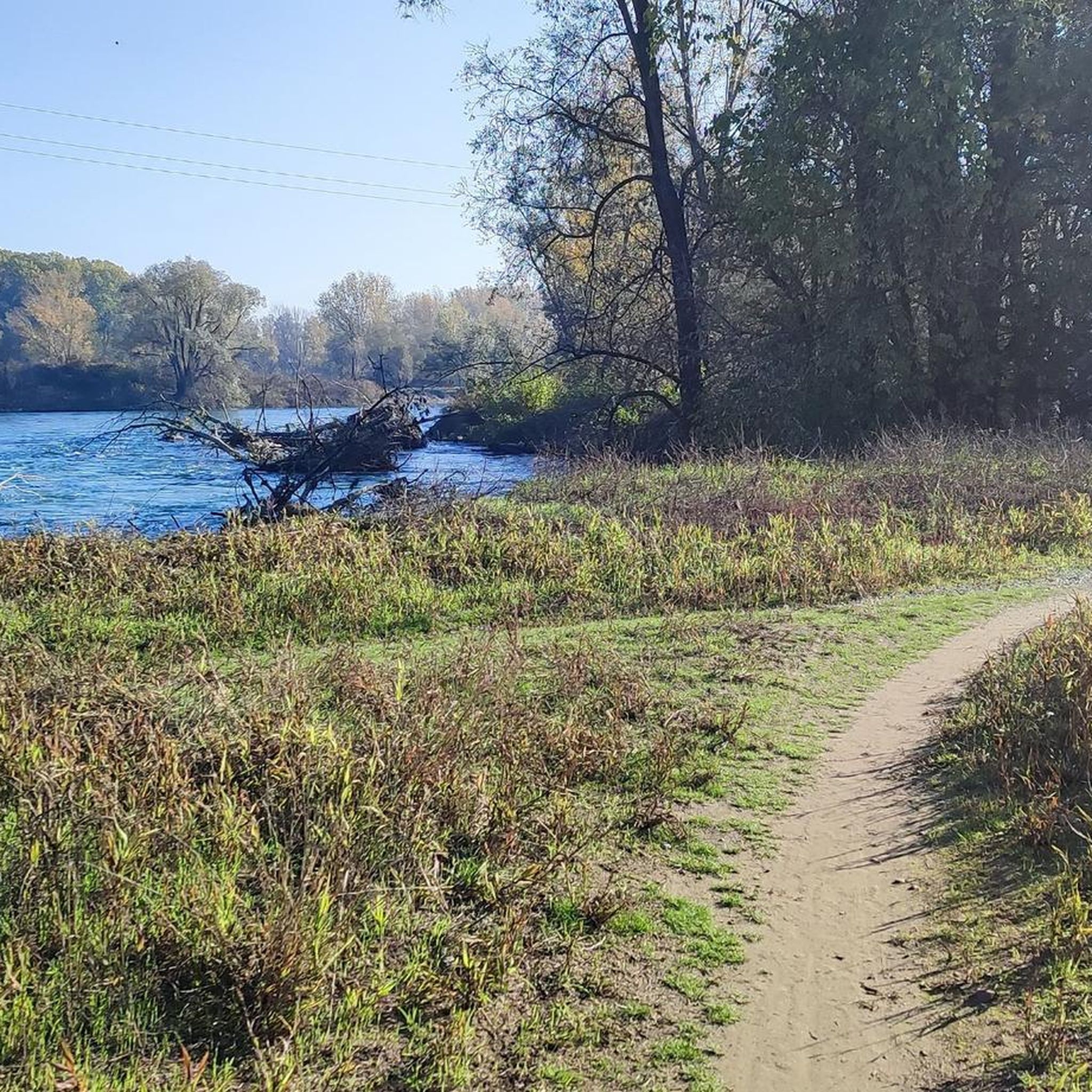
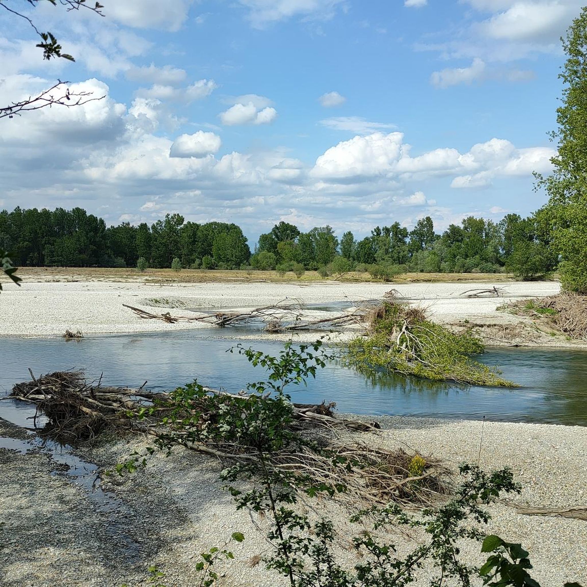
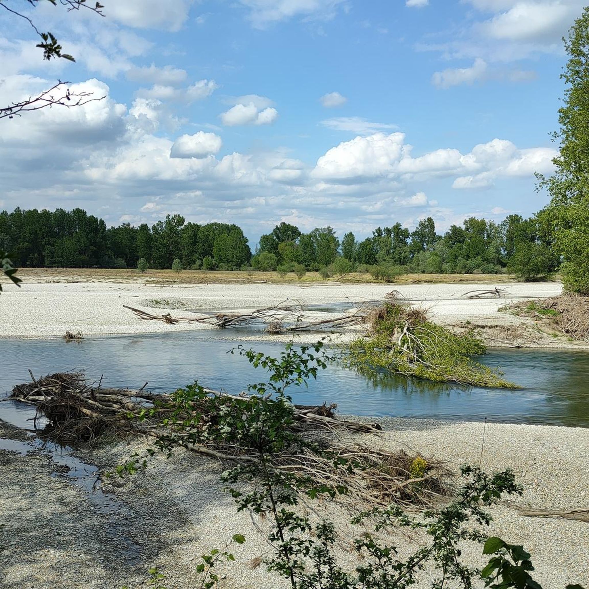
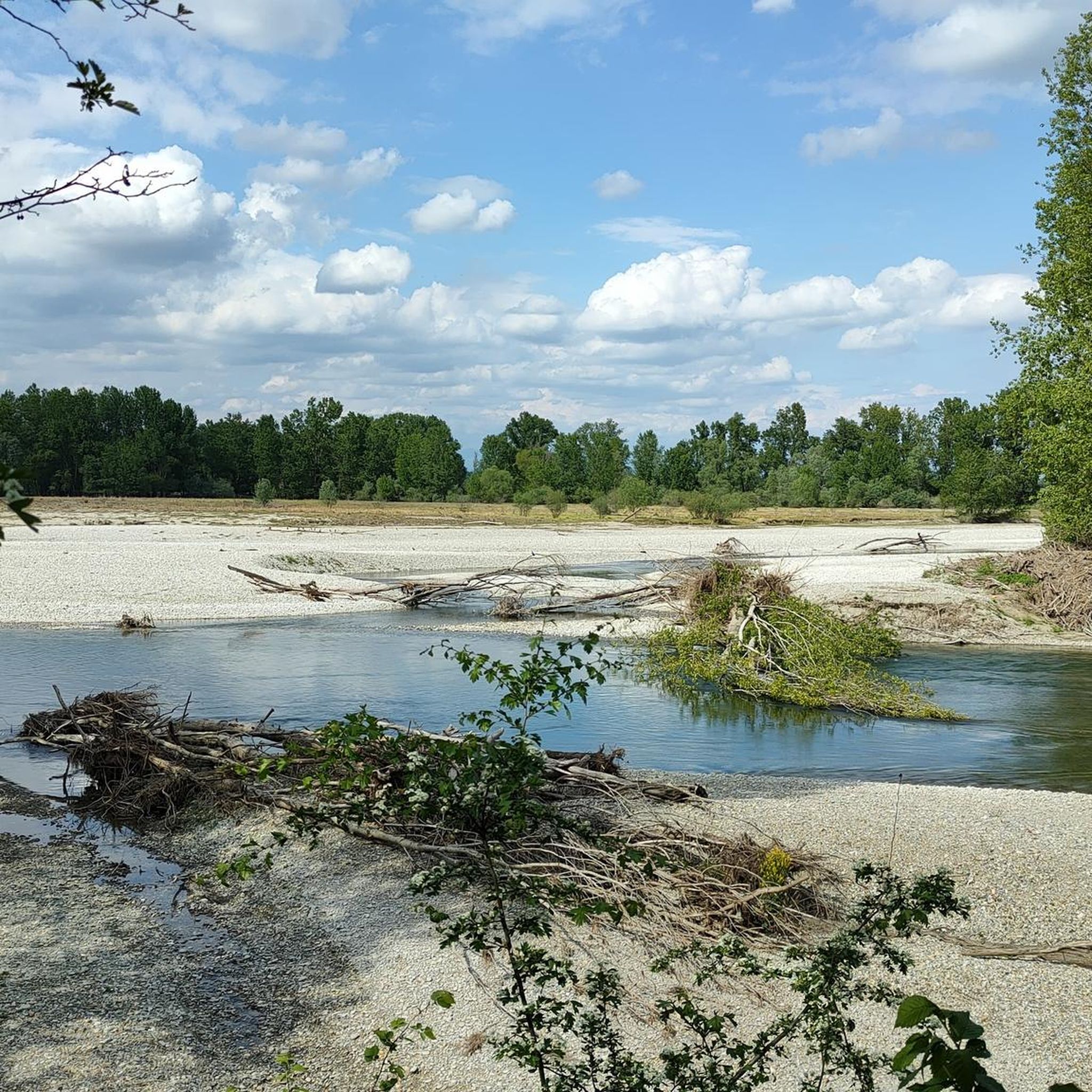
The Adda River is the fourth longest watercourse in Italy with its 313 kilometers and is entirely within the Lombardy region. It represents one of the main left tributaries of the Po River and has a very large hydrographic basin that covers about a third of the regional territory.
0
0
The Adda River is the fourth longest watercourse in Italy with its 313 kilometers and is entirely contained within the Lombardy region. It represents one of the main left tributaries of the Po River and has a very large hydrographic basin that covers about a third of the regional territory.
0
0
The Adda River is the fourth longest watercourse in Italy with its 313 kilometers and is entirely contained within the Lombardy region. It represents one of the main left tributaries of the Po River and has a very large hydrographic basin that covers about a third of the regional territory.
0
0

Beautiful bridge to Napoleon Bonaparte
1
0
Moo8 walking along the Adda River
0
0

The Church of San Rocco is a Catholic parish church located in Lodi, in the Borgo Adda neighborhood, near the Napoleon Bonaparte Bridge. In ancient times, Lodi had four churches dedicated to San Rocco, each positioned at the city gates to protect against plagues. In the 17th century, the destruction of the extramural villages left only the Church of San Rocco standing, located outside Porta d'Adda. At the beginning of the 20th century, the church proved too small and in poor condition. The parish priest, Father Ponzoni, proposed demolishing it and building a new, larger church. The project was approved in 1906 by the city council, which also decided to demolish the adjacent Porta d'Adda arch. The cornerstone of the new church was laid on May 31, 1909. Designed in the Romanesque Revival style by Milanese architect Cecilio Arpesani (a design similar to his other work, the Basilica of Sant'Agostino in Milan), it was completed and consecrated on May 28, 1911. The bell tower, initially only half-built, was completed and inaugurated on September 25, 1937. It houses an old clock from the Lodi Cathedral dating back to 1787, and at its base, a plaque commemorates the fallen of the Ethiopian War and the proclamation of the Empire.
0
0

Through the countryside on dirt and secondary roads.
0
0

The church of San Rocco is a Catholic parish church in the Italian city of Lodi, located in the district of Borgo Adda, near the Napoleon Bonaparte bridge.
0
0
Frequently Asked Questions
What kind of terrain can I expect on hikes around Galgagnano?
Hiking around Galgagnano primarily features flat plains, agricultural landscapes, and riverside paths, particularly along the Adda and Po Rivers. The terrain generally has minimal elevation changes, making it suitable for leisurely walks and accessible for various skill levels.
Are there many hiking trails available in the Galgagnano area?
Yes, there are numerous options for hiking. The komoot community has mapped nearly 150 hiking routes around Galgagnano, offering a wide variety of choices for exploration.
What are the difficulty levels of the trails near Galgagnano?
The trails around Galgagnano cater to various abilities. You'll find a good mix of easy (64 routes) and moderate (78 routes) trails, with a few more challenging options (5 routes) for those seeking a longer adventure.
Are there any family-friendly hiking options around Galgagnano?
Given the predominantly flat terrain and numerous easy routes, many trails around Galgagnano are suitable for families. These paths often follow rivers or wind through agricultural areas, providing a pleasant and accessible outdoor experience for all ages.
Can I bring my dog on the hiking trails in Galgagnano?
While specific regulations can vary, the rural and riverside nature of the trails around Galgagnano generally makes them suitable for dog walking. It's always advisable to keep dogs on a leash and ensure you clean up after them to respect the local environment and other hikers.
What natural features or landmarks can I see while hiking near Galgagnano?
The region offers several points of interest. You can explore the Vacchelli Canal entrance, walk along the Gravel Path Along the Muzza Canal, or see the Old Adda River Bridge. These features highlight the area's connection to its waterways and rural landscape.
Are there any historical sites or castles to visit near Galgagnano?
Yes, the broader region around Galgagnano features several historical sites. You can visit Pandino Castle, Melegnano Castle, or the Torrione of Lodi, which offer glimpses into the area's rich past.
Are there any circular hiking routes available?
Yes, many of the trails around Galgagnano are designed as loop tours. For example, you can enjoy the From Boffalora to Belgiardino Beach – loop tour, which explores riverside areas and Belgiardino Beach.
What do other hikers say about the trails in Galgagnano?
The trails in Galgagnano are highly regarded by the komoot community, with an average rating of 4.1 stars from over 200 reviews. Hikers often praise the tranquil riverside paths and the accessible nature of the routes through the agricultural landscapes.
What is the best time of year to go hiking around Galgagnano?
The flat plains and riverside environments make hiking around Galgagnano enjoyable for much of the year. Spring and autumn offer pleasant temperatures and vibrant scenery, while summer can be suitable for early morning or late afternoon walks to avoid the heat. Winter hiking is also possible, though conditions may be cooler.
Are there any long-distance hiking options near Galgagnano?
While many routes are shorter, there are options for longer excursions. For instance, the From Montanaso along the Adda – loop tour covers over 21 kilometers, providing a more extended experience through riverside landscapes.
Is parking available at the trailheads around Galgagnano?
As Galgagnano is a rural area, parking is generally available near trail access points, especially in or near the small towns and villages that serve as starting points for many routes. Specific parking details may vary by trailhead, so checking local information for your chosen route is recommended.
Most popular routes around Galgagnano
Most popular attractions around Galgagnano

Get inspired with the komoot mobile app


Explore more
Browse the best Hikes in other regions.
