The best road cycling routes around Valle Lomellina
3.7
(58)
608
riders
55
rides
Road cycling routes around Valle Lomellina are characterized by the region's predominantly flat terrain, making it accessible for various fitness levels without significant climbs. This area, part of Lombardy, Italy, is defined by extensive agricultural landscapes, particularly vast rice fields that change appearance throughout the seasons. Cyclists will encounter a network of waterways, canals, and poplar groves, with the region bordered by the Po, Ticino, and Sesia rivers.
Best road cycling routes around Valle Lomellina
- The most popular road cycling…
Last updated: July 1, 2026
11
riders
66.4km
02:35
140m
140m
Moderate road ride. Good fitness required. Some segments of this route may be unpaved and difficult to ride.
4.8
(4)
13
riders
58.4km
02:27
260m
260m
Moderate road ride. Good fitness required. Mostly well-paved surfaces and easy to ride.

Sign up for free
3.0
(1)
9
riders
67.2km
02:34
90m
90m
Moderate road ride. Good fitness required. Mostly well-paved surfaces and easy to ride.
15
riders
39.3km
01:32
60m
60m
Easy road ride. Great for any fitness level. Mostly well-paved surfaces and easy to ride.
15
riders
77.5km
02:56
120m
120m
Moderate road ride. Good fitness required. Mostly well-paved surfaces and easy to ride.
Get access to more routes and recommendations from other explorers.
Sign up for free
Already have an account?
Our route recommendations are based on thousands of hikes, rides, and runs completed by other people on komoot.
Start today with a free account
Your next adventure awaits.
Login or Signup

Tips from the Community

The Church of San Siro is the main place of worship in the municipality of the same name in the province of Pavia, belonging to the Diocese of Vigevano. Built between 1729 and 1732 on the remains of a 13th-century chapel, it features an elegant Greek cross plan in the late Baroque style, enriched by 18th-century canvases by the painter Carlo Antonio Bianchi from Pavia.
0
0
The Parco Lombardo della Valle del Ticino is crossed not by a single canal, but by a complex and historic hydraulic network. The main ones are the Canale Villoresi and the Panperduto (Somma Lombardo).
0
0
The Lombardo Park of the Ticino Valley is the oldest regional park in Italy, established in 1974, and represents the first river park in Europe. With an area of approximately 91,800 hectares, it develops entirely in Lombardy, running along the Ticino River from Lake Maggiore (Sesto Calende) to its confluence with the Po River (Pavia), crossing as many as 47 municipalities in the provinces of Milan, Pavia, and Varese. Together with its twin, the Piedmontese Natural Park of the Ticino Valley, it forms the largest protected river area on the continent, also recognized as a MAB UNESCO Biosphere Reserve.
0
0

Sartirana beautiful castle, a pity about the cars parked in front
0
0
How nice a fountain in a shady area. The cyclist's delight.
0
0

La Curtiriso is not just a supermarket packaged rice brand, but part of a true rice refinery located in Valle Lomellina (PV), in the heart of one of the most important areas for rice cultivation in Italy.
10
0

Here you stand before a work of art that stands the test of time. Fading allows for more personal interpretation.
7
0
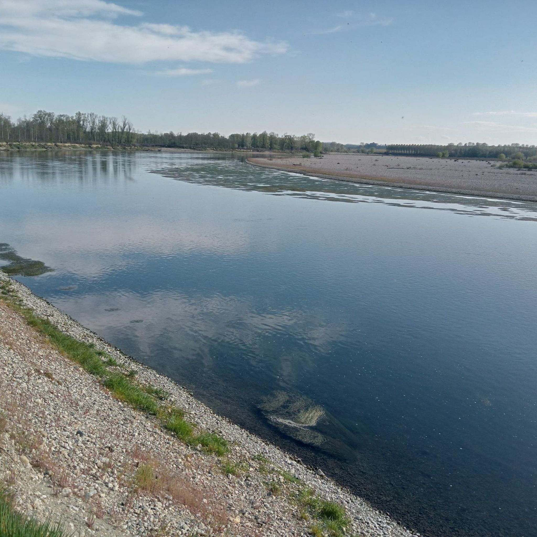
Road that runs along the Sesia river.
15
0
Frequently Asked Questions
How many road cycling routes are available in Valle Lomellina?
Valle Lomellina offers over 60 road cycling routes, catering to various skill levels. You'll find a wide selection, with 37 easy routes, 22 moderate routes, and 1 difficult route, ensuring there's something for every cyclist.
What is the terrain like for road cycling in Valle Lomellina?
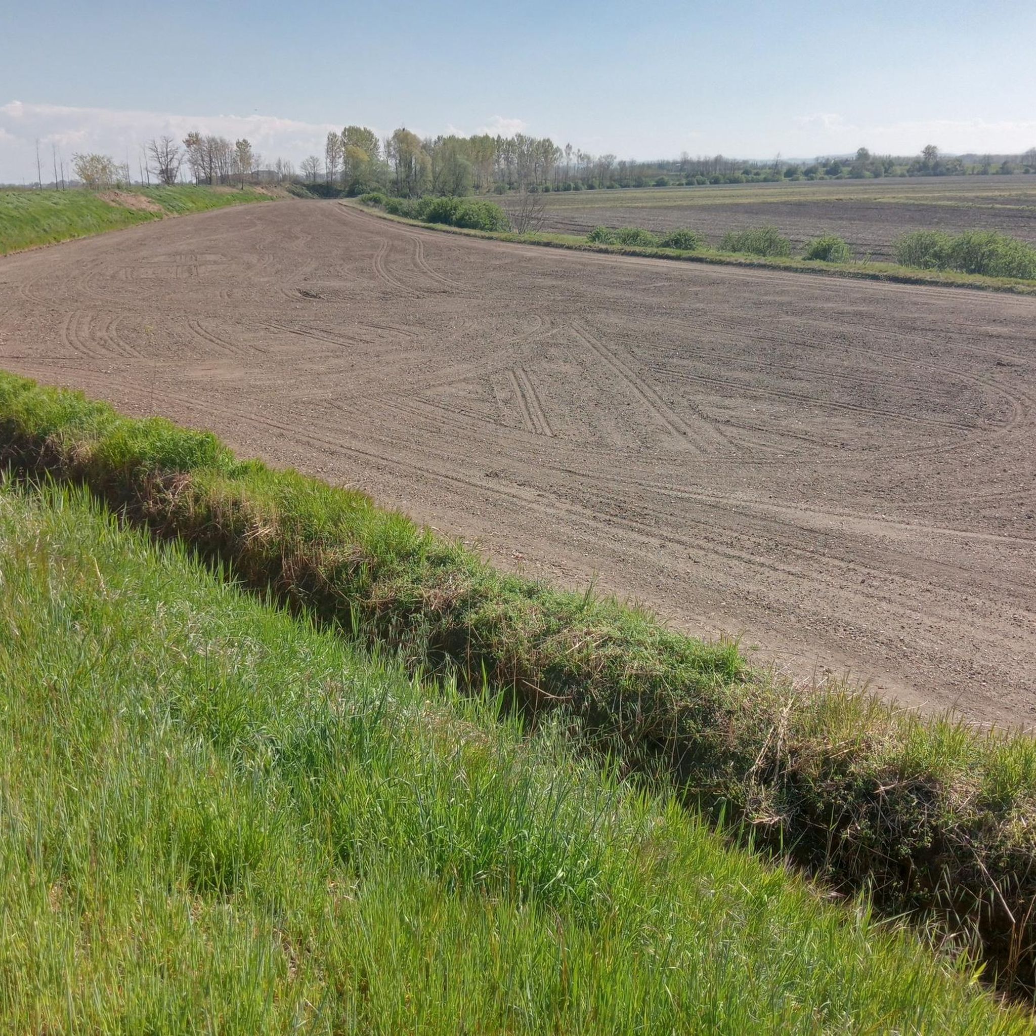
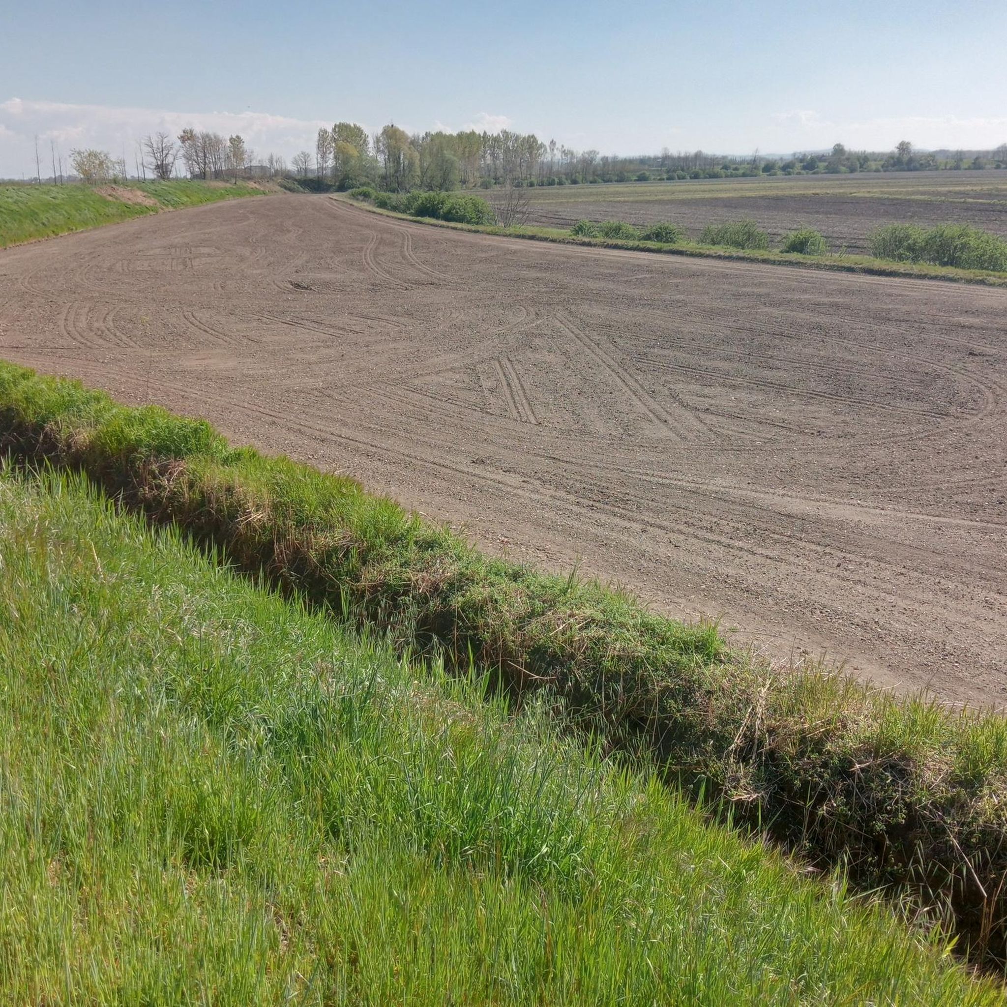
The terrain in Valle Lomellina is predominantly flat, making it ideal for road cycling without significant climbs. You'll cycle through extensive agricultural landscapes, particularly vast rice fields, poplar groves, and a network of waterways and canals. The region is bordered by the Po, Ticino, and Sesia rivers, offering scenic views.
Are there routes suitable for beginners or families in Valle Lomellina?
Yes, the flat topography of Valle Lomellina makes it very accessible for various fitness levels, including beginners and families. There are 37 easy routes available, perfect for leisurely rides through the picturesque rural scenery and rice fields. The 'From rice to oak trees' cycle track and the refurbished Via delle Gallie are excellent examples of accessible paths.
What kind of historical landmarks can I see while cycling in Valle Lomellina?
Valle Lomellina is dotted with historical attractions. You can encounter medieval castles built with characteristic red bricks, such as Sartirana Castle, Castello di Pomaro, and Castello di Valeggio. The region also features historical religious sites like the Basilica of San Lorenzo in Mortara. Many routes, like the Scaldasole Castle – Castello di Valeggio loop from Sartirana, connect these historical points of interest.
Are there natural attractions to explore on a road bike in Valle Lomellina?
Absolutely. Beyond the iconic rice fields, you can explore the Dosso of Lomellina, a natural monument of sandy hills. A significant portion of the territory is also part of the Risaie della Lomellina Special Protection Area, a Natura 2000 network site crucial for biodiversity and home to numerous bird species. The region's rivers—Po, Ticino, and Sesia—also contribute to its natural beauty.
When is the best time of year to go road cycling in Valle Lomellina?
The scenery in Valle Lomellina changes throughout the year, offering unique experiences. Spring is particularly beautiful when the rice fields are flooded, creating vast, shimmering expanses. As summer progresses, these fields turn lush green before becoming golden for harvest. Spring and early autumn generally offer pleasant temperatures for cycling.
Are there any circular road cycling routes in Valle Lomellina?
Yes, many of the routes in Valle Lomellina are designed as loops, allowing you to start and end in the same location. Examples include the Sartirana Castle – Iron Bridge over the Po loop from Valle Lomellina and the Castello di Valeggio – Rice fields loop from Sartirana, which offer diverse scenery and points of interest.
What do other cyclists say about road biking in Valle Lomellina?
The road cycling routes in Valle Lomellina are highly rated by the komoot community, with an average score of 3.6 stars from over 40 reviews. Cyclists often praise the quiet roads, the unique agricultural landscapes, and the opportunity to explore historical sites and natural features on mostly flat terrain.
How long are the typical road cycling routes in the region?
Route lengths in Valle Lomellina vary, but many popular routes are designed for a good day out. For instance, the San Salvatore Monferrato – Iron Bridge over the Po loop from Sartirana is about 36 miles (58 km), while the Cascina la Filanda – Celpenchio loop from Valle Lomellina is around 35 miles (56 km). You can find routes ranging from shorter, easier rides to longer, more challenging distances.
Is public transport an option for accessing routes in Valle Lomellina?
While the region is best explored by bike, public transport options like regional trains connect some towns in the broader Lomellina area to larger cities. However, direct access to specific route starting points often requires local transport or driving. For detailed information on public transport, it's advisable to check local transport schedules.
Where can I find parking for my road cycling trip in Valle Lomellina?
Many towns and villages in Valle Lomellina offer public parking facilities. When planning your route, consider starting points in larger settlements like Valle Lomellina or Sartirana, which typically have designated parking areas. Always check local signage for any restrictions.
Are there places to stop for refreshments along the routes?
Yes, as you cycle through the villages and towns of Valle Lomellina, you'll find opportunities to stop for refreshments. Many local cafes and trattorias offer a chance to experience regional cuisine and take a break. It's always a good idea to carry some water and snacks, especially on longer stretches between towns.
Are there any advanced or difficult road cycling routes in Valle Lomellina?
While Valle Lomellina is known for its flat terrain, there is at least one route classified as difficult among the 60+ options, offering a greater challenge for experienced cyclists. These routes might involve longer distances or slightly more varied terrain, though significant climbs are rare in the region. Most routes are moderate or easy, focusing on endurance rather than elevation.
Most popular routes around Valle Lomellina
Most popular attractions around Valle Lomellina

Get inspired with the komoot mobile app


Explore more
Browse the best Road cycling routes in other regions.
