The best walks and hikes around Cerano
4.4
(561)
3,305
hikers
242
hikes
Hiking around Cerano offers a network of trails primarily situated within the flat, riverine landscape of the Ticino River valley. The region is characterized by its accessible paths through parklands and along waterways, providing opportunities for outdoor activity. These routes typically feature minimal elevation changes, making them suitable for various fitness levels. The area's natural environment includes sections of woodland and open park spaces.
Best hiking trails around Cerano
- The most popular hiking route is La Fagiana Park Center loop…
Last updated: November 1, 2026
4.4
(36)
113
hikers
10.6km
02:42
20m
20m
Moderate hike. Good fitness required. Easily walkable paths.
4.6
(17)
35
hikers
4.99km
01:16
10m
10m
Easy hike. Easily walkable paths.

5.0
(4)
6
hikers
11.5km
02:54
20m
20m
Moderate hike. Good fitness required. Easily walkable paths.
4.7
(3)
21
hikers
6.53km
01:39
10m
10m
Easy hike. Easily walkable paths.
1
hikers
7.34km
01:51
10m
10m
Easy hike. Easily walkable paths.
Get access to more routes and recommendations from other explorers.
Already have an account?
Our route recommendations are based on thousands of hikes, rides, and runs completed by other people on komoot.
Start today with a free account
Your next adventure awaits.


Tips from the Community

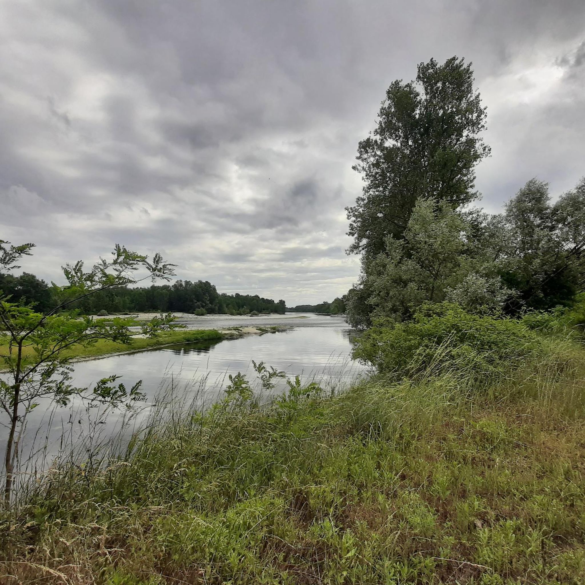
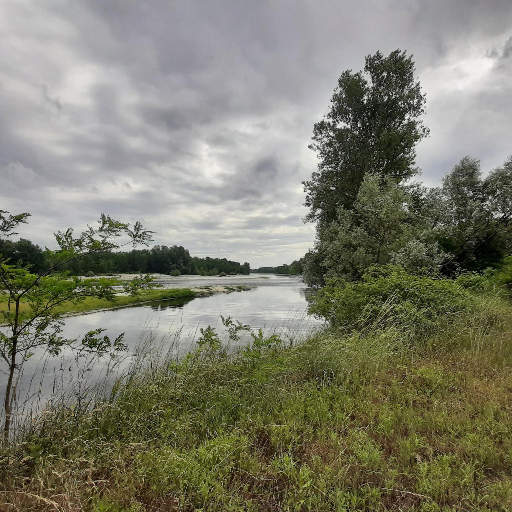
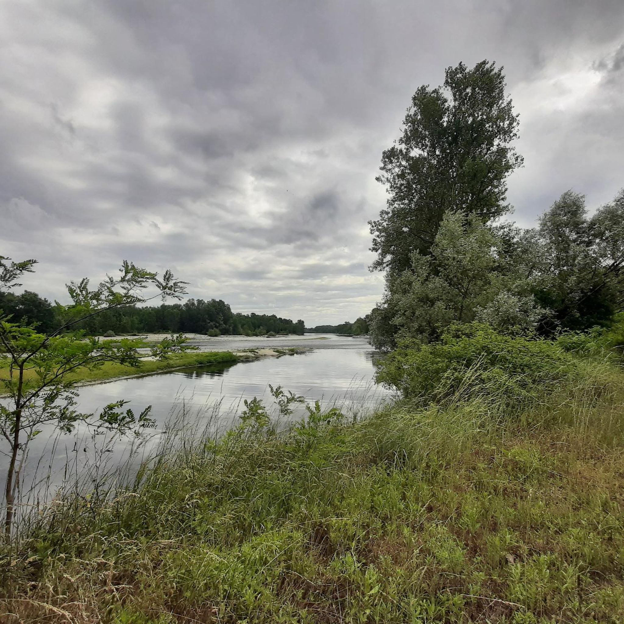
The Ticino is the second Italian river by water flow and is the main tributary of the Po. Main Features Length: It measures 248 kilometers in total. Course: It originates in Switzerland at the Nufenen Pass, crosses Lake Maggiore and exits at Sesto Calende to form the border between Lombardy and Piedmont, until its mouth. Confluence: It flows into the Po River at Ponte della Becca, near Pavia.
0
0

A singletrack to pedal all the way!! Very beautiful although in some places you will have to watch out for brambles.
0
0

I'm glad you like my comment. Kind regards, Markus Thiel 🙏🌎🌞
2
1

There is a macabre legend about this villa. In 1800 it was a holiday colony for children. Decades later, some teenage boys, who were there walking in the woods, glimpsed the building and decided to get closer to explore the place. In one of the rooms they found a register with all the names of the children. After some checks on the identity of the children written in the register, it was discovered that they were non-existent, it turned out that those names did not exist. After various searches, it was determined that some children had died in that house, others in the nearby river where some remains were found, but of the rest of the abandoned souls there is no trace. (source https://www.urbexstory.com/post/villa-giulia)
0
0
Great place to take a break or grab a sandwich. Highly recommend.
0
0

There is a fountain near Cascina Madonnina
1
0
I ran with the dog but at the entrance there is a sign "No dogs allowed".
1
2

Following the route in reverse, we had to give up. At the curve shown on the route as point 6 you must enter private land, from which you exit after approximately 300 metres. After which, in the middle of the woods, the route is interrupted by countless fallen trees, up to a point (around the height of the Salvaraia farmhouse) where it is not clear whether it is necessary to ford a stream or enter private property again. At this point we gave up.
1
0
Frequently Asked Questions
How many hiking trails are available around Cerano?
There are over 220 hiking trails available around Cerano, offering a wide range of options for exploring the flat, riverine landscape of the Ticino River valley.
What is the typical terrain like for hiking in Cerano?
The terrain in Cerano is primarily characterized by a flat, riverine landscape within the Ticino River valley. Trails are generally accessible paths through parklands and along waterways, featuring minimal elevation changes. You can expect sections of woodland and open park spaces.
Are there hiking trails suitable for beginners in Cerano?
Yes, Cerano is an excellent destination for beginners. Over 100 of the trails are rated as easy, offering gentle walks through the local landscape. A good example is the Hiking loop from Cascina Bullona, which is an easy 4.9 km path.
Are there any challenging hikes in Cerano?
While the region is generally flat, there are a few routes that offer a slightly more extended experience. There are 7 trails rated as difficult, though these still feature minimal elevation changes typical of the riverine landscape. Most routes are easy or moderate, focusing on distance rather than steep climbs.
What do other hikers enjoy most about the trails in Cerano?
The trails in Cerano are highly rated by the komoot community, with an average score of 4.4 stars from nearly 400 reviews. Hikers often praise the accessible paths, the peaceful parkland environment, and the well-maintained routes along the waterways.
Are there any circular hiking routes in Cerano?
Yes, many of the trails in Cerano are circular, making them convenient for day trips. Popular circular routes include the La Fagiana Park Center loop from Cascina Bullona and the La Fagiana Park Center – La Fagiana Park Center loop from Parco Lombardo della Valle del Ticino.
What nearby attractions can I explore while hiking in Cerano?
While hiking in Cerano, you can explore several interesting nearby attractions. You might encounter historic sites like Palazzo Archinto or Sforzesco Castle of Galliate. For natural points of interest, consider visiting Lake Olmo or the Menedrago Pond.
Are the hiking trails in Cerano family-friendly?
Absolutely. Given the flat terrain and minimal elevation changes, many trails in Cerano are ideal for families. The accessible paths through parklands and along waterways provide a safe and enjoyable environment for all ages.
Is there parking available near the hiking trails in Cerano?
Yes, many trailheads in Cerano, especially those within the park areas like La Fagiana Park Center or near Cascina Bullona, offer convenient parking options for hikers.
What is the best time of year to go hiking in Cerano?
The flat, riverine landscape of Cerano makes it suitable for hiking during most seasons. Spring and autumn offer pleasant temperatures and beautiful scenery, while summer can be enjoyable, especially in shaded woodland sections. Winter hiking is also possible, though conditions may vary.
Are there any cafes or restaurants near the hiking trails in Cerano?
While specific amenities vary by trailhead, the region around Cerano and the Ticino River valley has various local establishments. You can often find cafes or restaurants in nearby towns and villages to refuel after your hike.
Can I reach the hiking trails in Cerano using public transport?
Public transport options to reach various trailheads in the Cerano area exist, though they might require some planning. It's advisable to check local bus schedules to determine the best access points for your chosen route.
Most popular attractions around Cerano

Get inspired with the komoot mobile app


Explore more
Browse the best Hikes in other regions.
