The best MTB trails around Faedo Valtellino
4.3
(360)
2,692
riders
133
rides
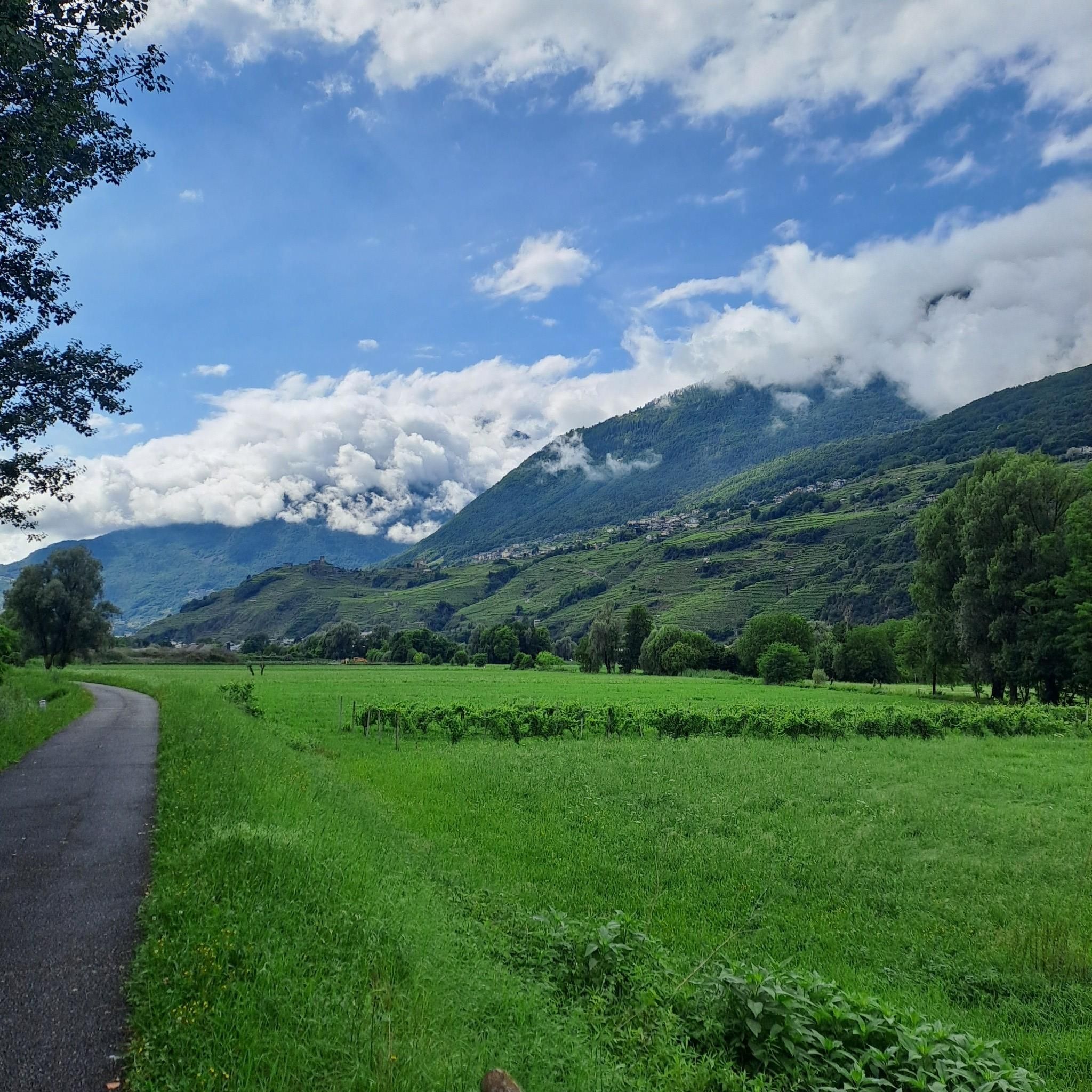
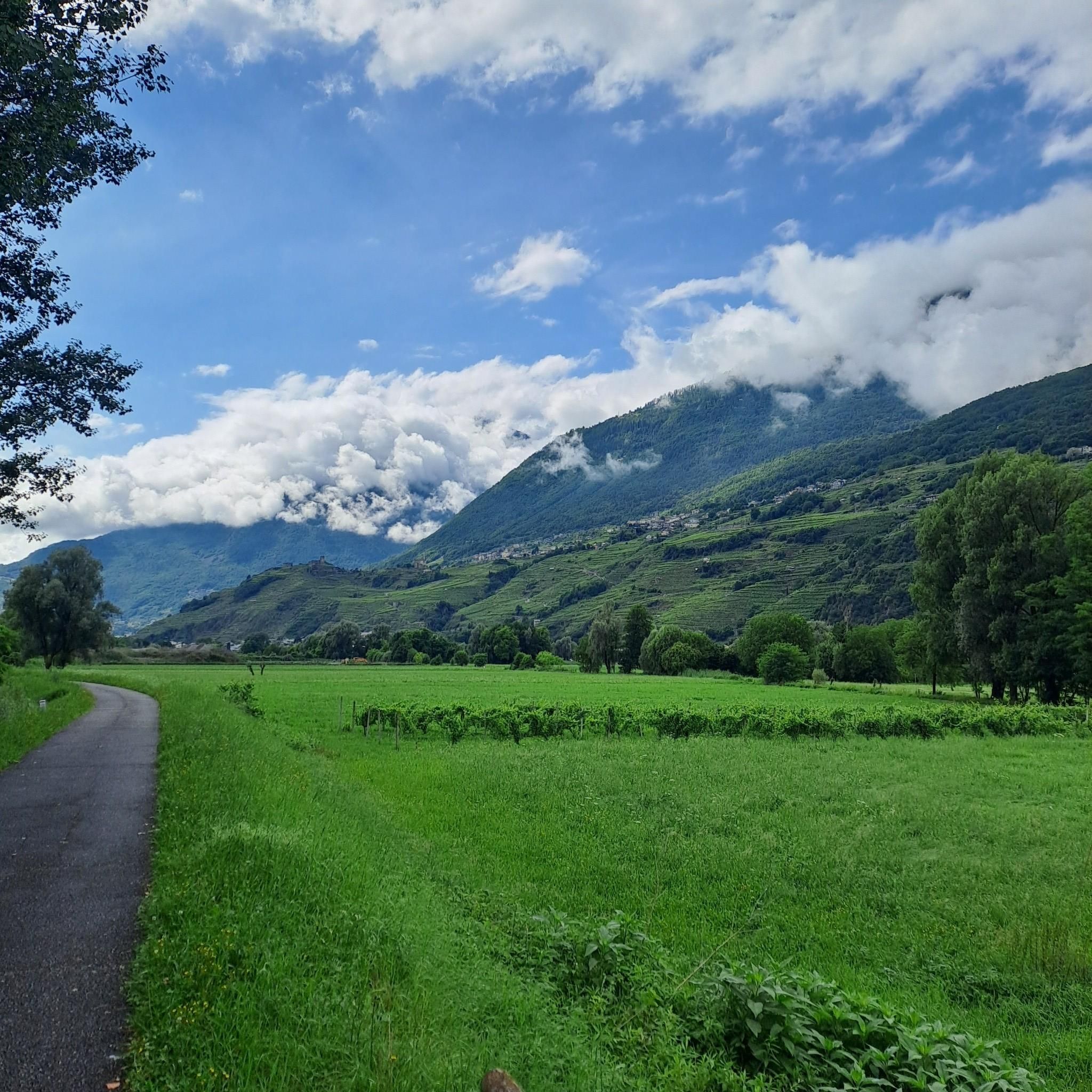
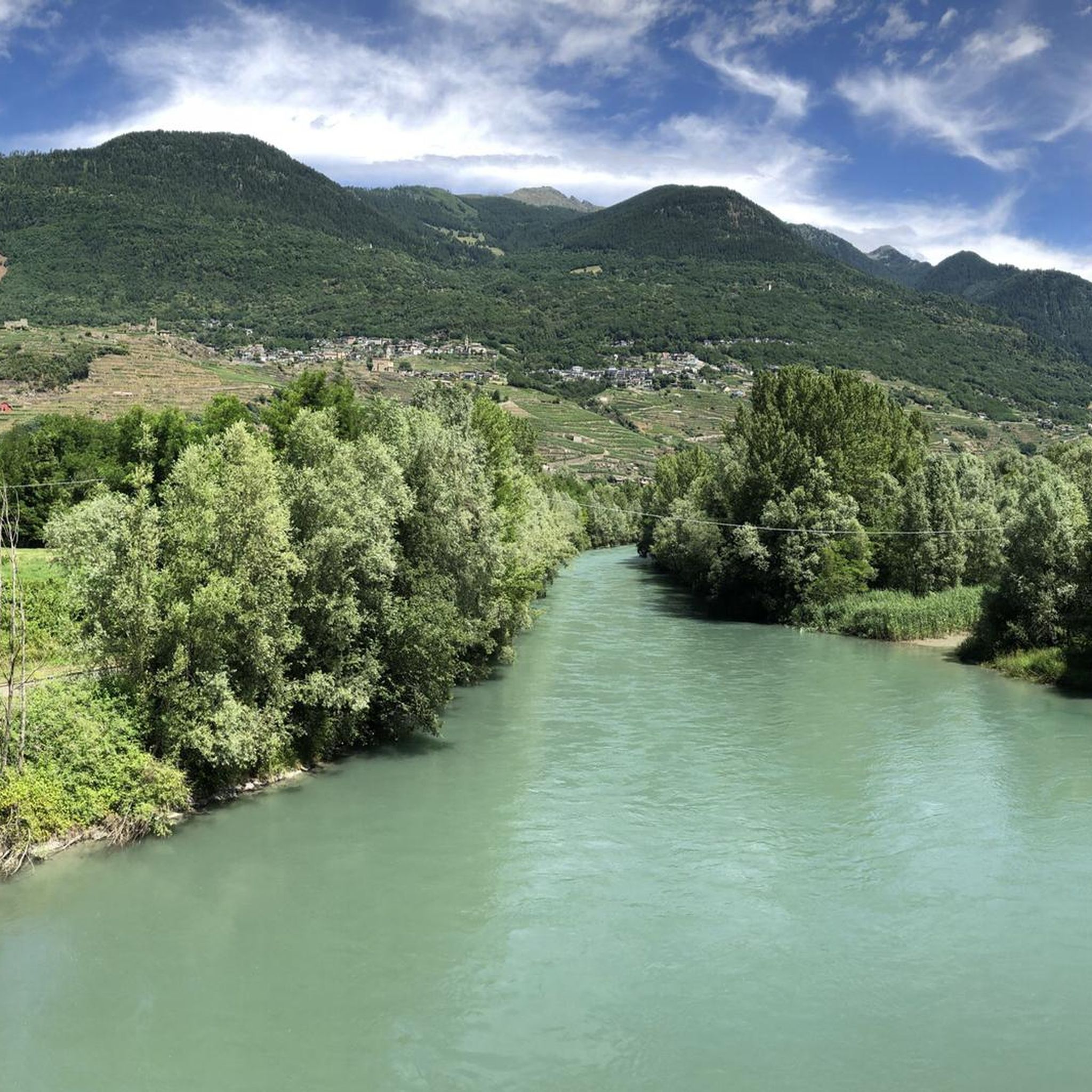
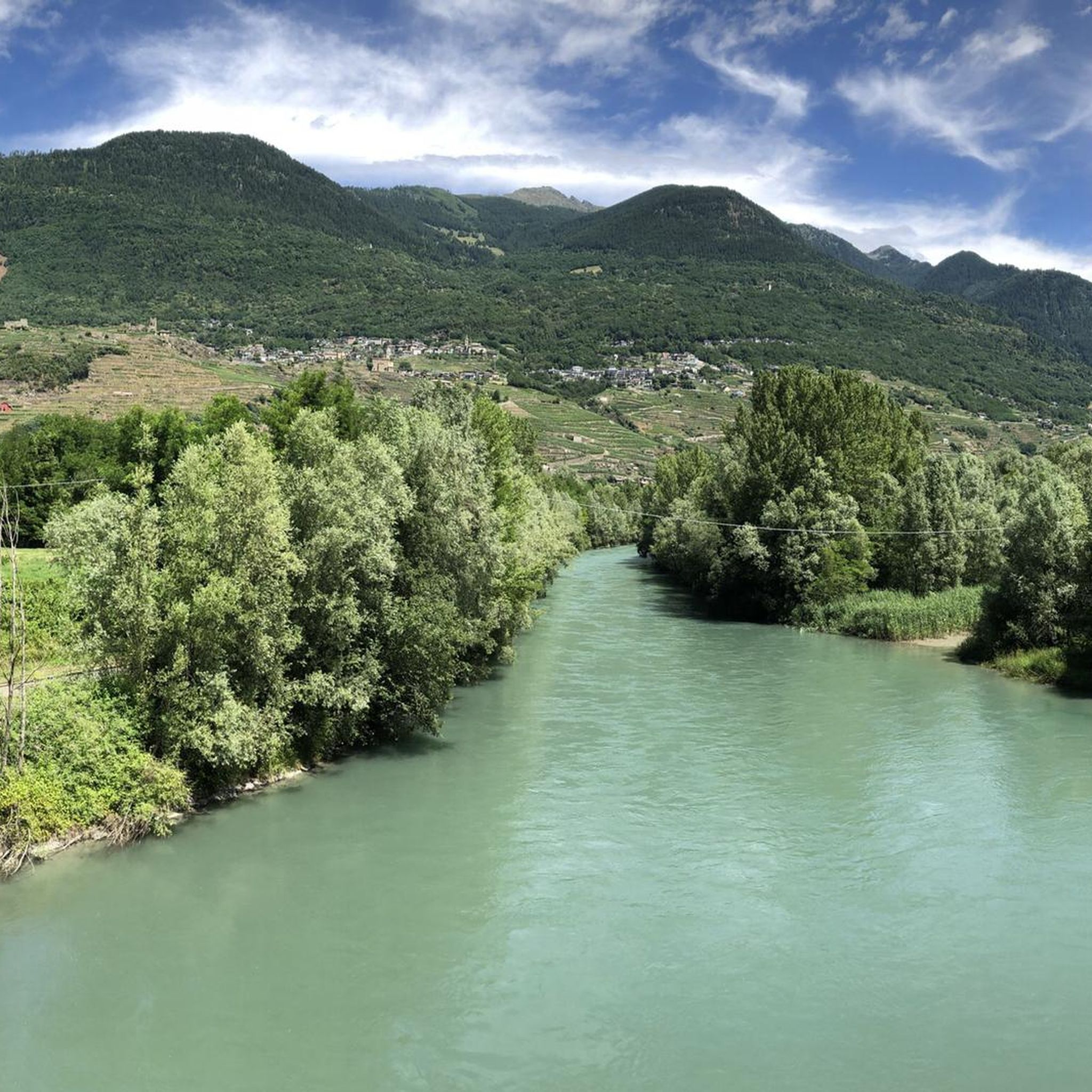
Mountain bike trails around Faedo Valtellino are situated in a region characterized by the Adda River valley and surrounding hills, offering varied terrain for cycling. The landscape features a mix of agricultural areas, dense woodlands, and elevated viewpoints. Mountain bikers can expect routes that traverse both paved and unpaved surfaces, with ascents and descents typical of a pre-alpine environment.
Best mountain bike trails around Faedo Valtellino
- The most popular mountain bike trail is Lake Colina – Pra Lone loop from…
Last updated: July 6, 2026
4.5
(26)
127
riders
45.8km
05:26
1,990m
1,990m
Hard mountain bike ride. Very good fitness required. Advanced riding skills necessary. Some portions of the route may require you to push your bike.
4.4
(16)
174
riders
Moderate mountain bike ride. Good fitness required. Advanced riding skills necessary.

Sign up for free
4.4
(22)
107
riders
40.6km
03:14
850m
850m
Moderate mountain bike ride. Good fitness required. Advanced riding skills necessary.
4.4
(25)
106
riders
Hard mountain bike ride. Very good fitness required. Advanced riding skills necessary. Some portions of the route may require you to push your bike.
4.4
(16)
82
riders
55.4km
04:58
1,630m
1,630m
Hard mountain bike ride. Very good fitness required. Advanced riding skills necessary. Some portions of the route may require you to push your bike.
Get access to more routes and recommendations from other explorers.
Sign up for free
Already have an account?
Our route recommendations are based on thousands of hikes, rides, and runs completed by other people on komoot.
Start today with a free account
Your next adventure awaits.
Login or Signup

Tips from the Community

Located in the municipality of Postalesio, before the bridge at the beginning of the village there is a sign indicating where you can get a permit to go up with your own vehicle, €5. Go up towards the pyramids and continue to the parking lot at 2000 meters, just below the Colina alpine hut, from there in 2 km on foot you reach the lake along the mule track which is quite steep in places. You can also go up from Triangia to the Poverzone cross and perhaps even further, inquire, by getting a permit at Ligari with the special machine, on both ascents it is better to have a car with high ground clearance.
0
0

It's a little confusing with two parallel bridges and an intersection how to get onto the pedestrian/bike bridge.
0
0
It is called the Scherini path and passes above Ponchiera.
0
0

The terminus of the Bernina Line. You can also reach it without the Bernina Express by regular regional train. Or by bus from Samedan or Pontresina to La Prese and then change to the regional train for the rest of the journey.
5
0

The station, located at an altitude of 429 meters above sea level, was opened on June 29, 1902, along with the newly constructed line from Sondrio. The placement of the station building on the side was a preliminary construction step for the then-planned but never-realized extension towards Bormio, the so-called Ortler Railway. Since July 1, 1908, Tirano has also served as a transfer station to the Bernina Railway. At that time, the RhB built its own station building on the forecourt of the Italian station. Passenger traffic on the Italian line is now handled by Trenord. Source: https://de.wikipedia.org/wiki/Bahnhof_Tirano
4
0

A beautiful train station in the small town of Tirano with its approximately 9,000 inhabitants.
6
0
The BERNINA Express also starts here!
4
1

Frequently Asked Questions
How many mountain bike trails are available around Faedo Valtellino?
There are over 120 mountain bike trails in the Faedo Valtellino area, offering a wide range of options for different skill levels and preferences.
What is the typical terrain like for mountain biking in Faedo Valtellino?
The terrain around Faedo Valtellino is varied, featuring the Adda River valley, surrounding hills, agricultural areas, and dense woodlands. You can expect routes that traverse both paved and unpaved surfaces, with ascents and descents characteristic of a pre-alpine environment.
Are there easy or beginner-friendly mountain bike trails in Faedo Valtellino?
Yes, there are options for beginners. While many trails are moderate to difficult, there are 15 easy mountain bike trails available. These routes often follow river valley paths or gentler climbs through rural landscapes.
What kind of challenging mountain bike trails can I find in Faedo Valtellino?
For experienced riders, there are 72 difficult mountain bike trails. These routes often feature significant elevation gain and technical sections, such as the Lake Colina – Pra Lone loop from Sondrio, which includes nearly 2000 meters of elevation gain.
Are there mountain bike routes that offer scenic viewpoints?
Many trails in the region provide elevated viewpoints, especially those that climb into the hills surrounding the Adda River valley. For example, the These place is the best view of the landscape city Sondrio – Tagliafuoco di Carnale Road loop from Sondrio is specifically highlighted for its landscape views.
What are the typical distances and elevations for mountain bike trails here?
Trail distances vary widely, from shorter loops to longer rides exceeding 50 km. For instance, the Poggiridenti Pump Track – Tirano Parking 🅿️ loop from Poggiridenti-Tresivio-Piateda is 52.5 km with moderate elevation, while the Lake Colina – Pra Lone loop from Sondrio is 45.8 km but features nearly 2000 meters of climbing.
Are there any notable natural attractions or landmarks along the mountain bike trails?
Yes, the region is home to several beautiful lakes and huts that can be explored. You might encounter natural highlights such as Devil's Lake or Lago delle Zocche. Additionally, there are mountain huts like Flavio Pedrinelli Bivouac and Alpe di Piasci and Rifugio Cometti, which can serve as resting points.
What do other mountain bikers say about the trails in Faedo Valtellino?
The mountain bike trails in Faedo Valtellino are highly rated by the komoot community, with an average score of 4.4 stars from over 380 reviews. Over 3000 mountain bikers have used komoot to explore the varied terrain, often praising the diverse landscapes and well-maintained paths.
Are there mountain bike trails suitable for families?
While specific 'family-friendly' designations aren't always explicit, the presence of 15 easy trails suggests there are less demanding options that could be suitable for families with some mountain biking experience. Routes along the Adda River valley tend to be flatter and more accessible.
When is the best time of year for mountain biking in Faedo Valtellino?
The best time for mountain biking in Faedo Valtellino is typically from spring through autumn, when the weather is mild and trails are clear of snow. Summer offers warmer temperatures, while spring and autumn provide pleasant riding conditions and vibrant scenery.
Are there loop trails available for mountain biking?
Yes, many of the mountain bike routes in Faedo Valtellino are designed as loops, allowing you to start and finish at the same point. Examples include the Poggiridenti Pump Track loop from Sondrio and the Bartesaghi Park loop from Sondrio.
Can I find mountain bike trails with cafes or refreshment stops along the way?
While specific cafes on trails are not always guaranteed, routes that pass through or near villages and towns, or those that lead to mountain huts like Rifugio Gino e Massimo, often provide opportunities for refreshments. Planning your route to include these points is recommended.
Most popular routes around Faedo Valtellino
Most popular attractions around Faedo Valtellino

Get inspired with the komoot mobile app


Explore more
Browse the best MTB trails in other regions.
