The best mountain hikes around Montagna In Valtellina
5.0
(3)
37
hikers
4
hikes
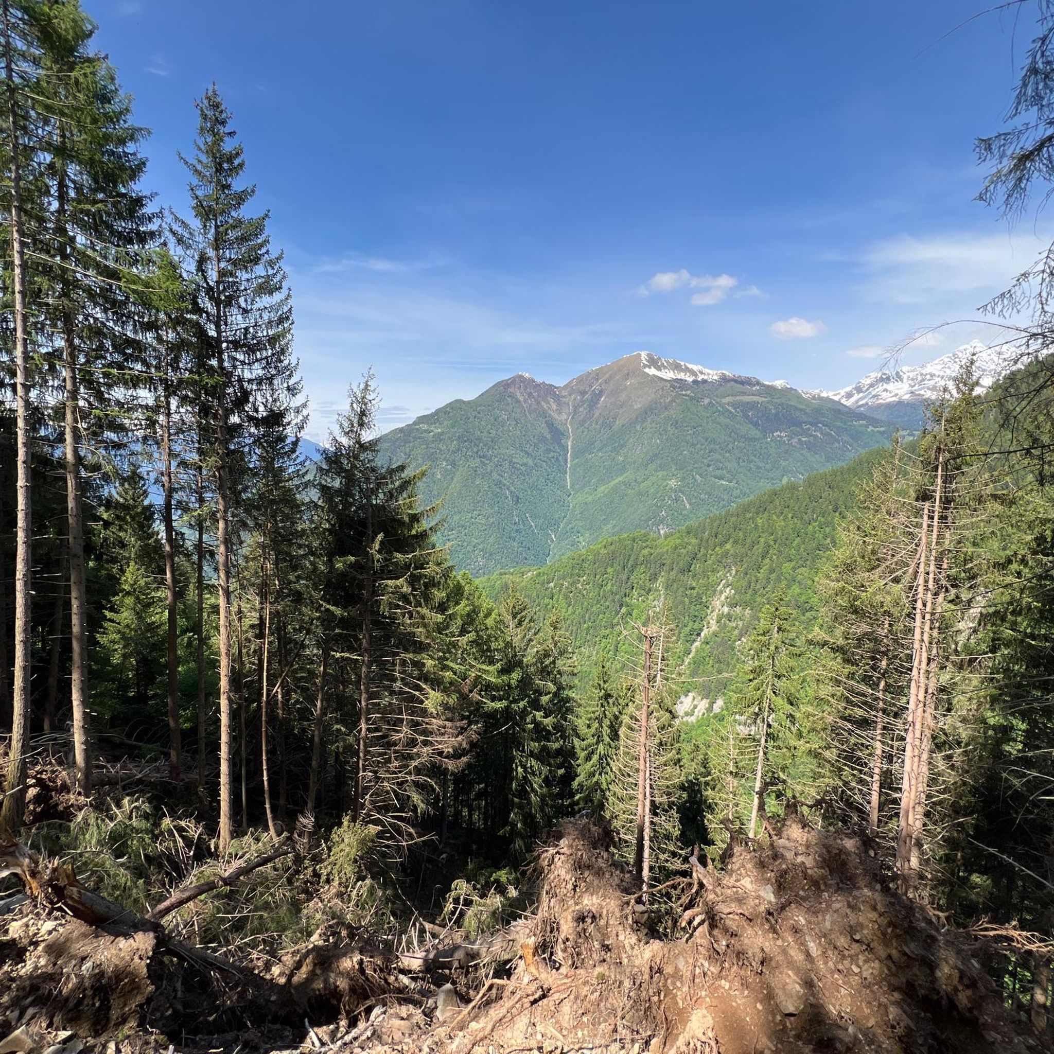
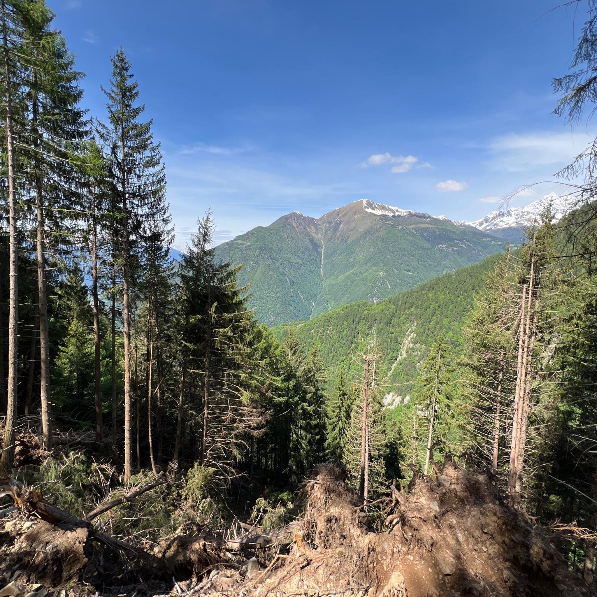
Mountaineering around Montagna In Valtellina is characterized by its dramatic alpine landscape, nestled within the broader Valtellina region of the Italian Alps. The area is framed by the imposing Rhaetian Alps to the north and the Orobie mountain range to the south, featuring high peaks and deep valleys. Wild streams like the Adda and Mallero rivers, lush forests of firs and larches, and terraced vineyards define the natural features of the region. This terrain offers a diverse range of challenges…
Last updated: October 8, 2026
8
hikers
12.4km
06:05
1,060m
1,060m
Hard mountaineering route. Very good fitness required. Sure-footedness, sturdy shoes and alpine experience required.
5.0
(3)
26
hikers
11.8km
05:00
590m
590m
Hard mountaineering route. Very good fitness required. Sure-footedness, sturdy shoes and alpine experience required.

2
hikers
15.5km
06:49
880m
880m
Hard mountaineering route. Very good fitness required. Sure-footedness, sturdy shoes and alpine experience required.
1
hikers
9.23km
03:31
560m
560m
Moderate mountaineering route. Good fitness required. Mostly accessible paths. Sure-footedness required.
Our route recommendations are based on thousands of hikes, rides, and runs completed by other people on komoot.
Start today with a free account
Your next adventure awaits.
Tips from the Community

Rest stop near Campo Moro.
2
0
Recommended lunch at Rifugio Zoia!
2
0
Beautiful trails in Valmalenco.
2
0
Starting point for the ascent to Bernina, in the heart of Valmalenco.
2
0
This refuge has a beautiful panoramic terrace from which to enjoy an excellent lunch at altitude.
2
0

Imposing constructions that generate 2 artificial basins...
0
0
Very direct path to quickly ascend from the dam to the refuge, mostly accessible to everyone, you gain elevation steadily. Don't trust the signs, step counts and times are randomly given.
0
0
Fantastic panorama, visible from afar, you only realize the actual size when you are really close.
0
0
Frequently Asked Questions
What kind of mountaineering routes can I find around Montagna in Valtellina?
Montagna in Valtellina offers a diverse range of mountaineering experiences. You'll find over 7 routes, with options ranging from moderate to difficult. The terrain is characterized by dramatic alpine landscapes, high peaks, deep valleys, and extensive forest sections, providing varied challenges for mountaineers.
Are there any routes that offer views of glaciers or significant natural features?
Yes, the region is known for its stunning glaciers. For an immersive experience, consider the View of Fellaria Glacier – Alpe Gembrè, 2217m loop from Campo Moro. This difficult 17.3 km route provides expansive views of the Fellaria Glacier, a notable natural monument in the area, and high alpine scenery. You can also explore the Fellaria Glacier itself, which offers a unique glaciological path.
What are some challenging mountaineering routes in the area?
For experienced mountaineers seeking a challenge, Montagna in Valtellina has several demanding options. The Alpe Gembrè, 2217m loop from Torrente Valle di Campo Moro is a difficult 16.6 km path that traverses rugged mountain terrain with significant elevation gain. Another challenging option is the Pizzo Meriggio loop from Albosaggia, a 12.6 km difficult trail through varied mountain landscapes.
Are there any moderate mountaineering routes suitable for those looking for a less extreme challenge?
Yes, there are moderate options available. The Rifugio Cristina loop from Fang is a moderate 11.2 km route that takes you through beautiful mountain scenery to the Cristina Hut. This route offers a rewarding experience without the extreme demands of the most difficult ascents.
What do other mountaineers say about the routes in Montagna in Valtellina?
The mountaineering routes around Montagna in Valtellina are highly regarded by the komoot community, holding an average rating of 5.0 stars from reviewers. Mountaineers often praise the dramatic alpine scenery, the challenging nature of the ascents, and the stunning views of peaks like Piz Bernina and Monte Disgrazia.
Are there any mountain huts or refuges along the routes where I can stop?
Yes, the region is well-equipped with mountain huts and refuges that serve as excellent stops. Notable options include the Roberto Bignami Hut and the Cristina Hut. These huts provide comfortable resting points amidst beautiful scenery and can serve as bases for further exploration.
What are some other points of interest or landmarks I might encounter near the mountaineering trails?
Beyond the trails, the region offers several interesting landmarks. You might come across the impressive Alpe Gera Dam, one of Italy's largest, which also serves as a starting point for some hikes. The Chapel of Alpe Prabello is another point of interest, offering a cultural touchpoint in the alpine landscape.
When is the best time of year for mountaineering in Montagna in Valtellina?
The prime season for mountaineering in Montagna in Valtellina typically runs from late spring to early autumn (May to October). During this period, snowmelt allows access to higher trails, and weather conditions are generally more stable. Some routes, especially those involving glaciers, may be accessible earlier or later depending on snow conditions and require specific equipment.
Are there any circular mountaineering routes available?
Yes, many of the mountaineering routes in Montagna in Valtellina are designed as loops, allowing you to start and end at the same point. Examples include the View of Fellaria Glacier – Alpe Gembrè, 2217m loop from Campo Moro and the Pizzo Meriggio loop from Albosaggia. These circular routes offer a complete experience without retracing your steps.
What are the typical elevation gains on mountaineering routes in this region?
The elevation gains on mountaineering routes around Montagna in Valtellina can be significant, reflecting the challenging alpine terrain. For difficult routes, you can expect ascents well over 900 meters, such as the View of Fellaria Glacier – Alpe Gembrè, 2217m loop from Campo Moro with over 900 meters of ascent, or the Alpe Gembrè, 2217m loop from Torrente Valle di Campo Moro with over 1100 meters of ascent. Moderate routes will have lower, but still substantial, gains.
Most popular routes around Montagna In Valtellina
Most popular attractions around Montagna In Valtellina

Get inspired with the komoot mobile app


Explore more
Browse the best Mountain Hikes & Routes in other regions.
