The best walks and hikes around Tielenhemme
4.5
(440)
1,705
hikers
193
hikes
Hiking around Tielenhemme offers routes through the distinctive flat landscapes of the Dithmarschen district in Schleswig-Holstein, Germany. The region is characterized by its proximity to the Eider River, which shapes the terrain with winding waterways and expansive river meadows. Trails typically feature minimal elevation gain, providing accessible paths for various fitness levels. This area provides a tranquil setting for exploring nature and observing diverse wildlife.
Best hiking trails around Tielenhemme
- The most popular hiking route is Dellstedter Birkwildmoor – Dellstedter…
Last updated: July 1, 2026
4.6
(22)
54
hikers
Easy hike. Great for any fitness level. Easily-accessible paths. Suitable for all skill levels.
4.2
(9)
32
hikers
8.94km
02:16
20m
20m
Moderate hike. Good fitness required. Easily-accessible paths. Suitable for all skill levels.

Sign up for free
3.5
(2)
7
hikers
Easy hike. Great for any fitness level. Easily-accessible paths. Suitable for all skill levels.
5
hikers
3.96km
01:00
0m
0m
Easy hike. Great for any fitness level. Easily-accessible paths. Suitable for all skill levels.
4.0
(1)
6
hikers
6.69km
01:41
10m
10m
Easy hike. Great for any fitness level. Easily-accessible paths. Suitable for all skill levels.
Get access to more routes and recommendations from other explorers.
Sign up for free
Already have an account?
Our route recommendations are based on thousands of hikes, rides, and runs completed by other people on komoot.
Start today with a free account
Your next adventure awaits.
Login or Signup
Tips from the Community

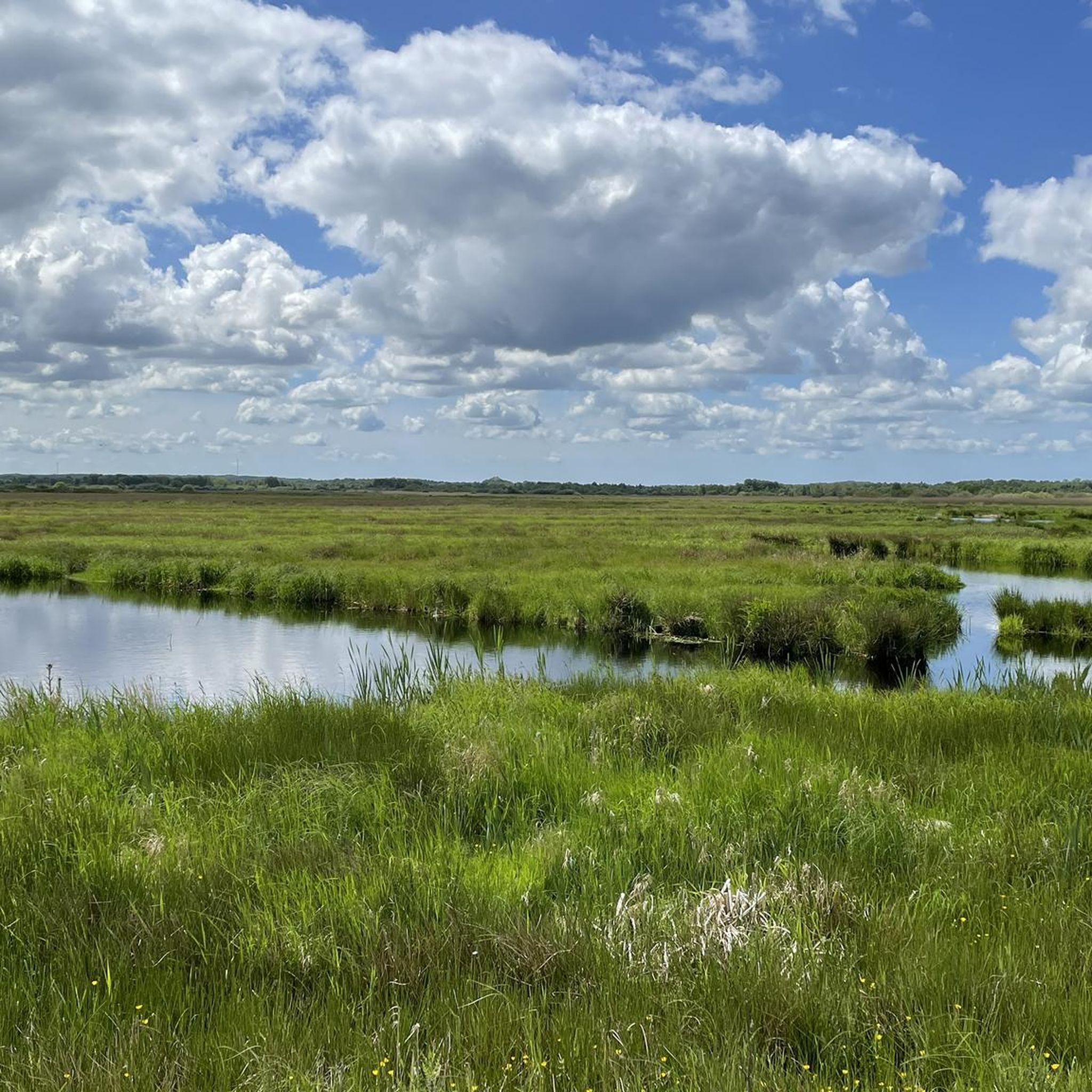
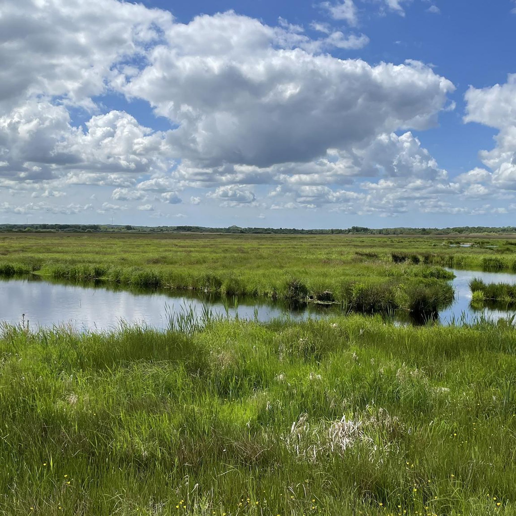
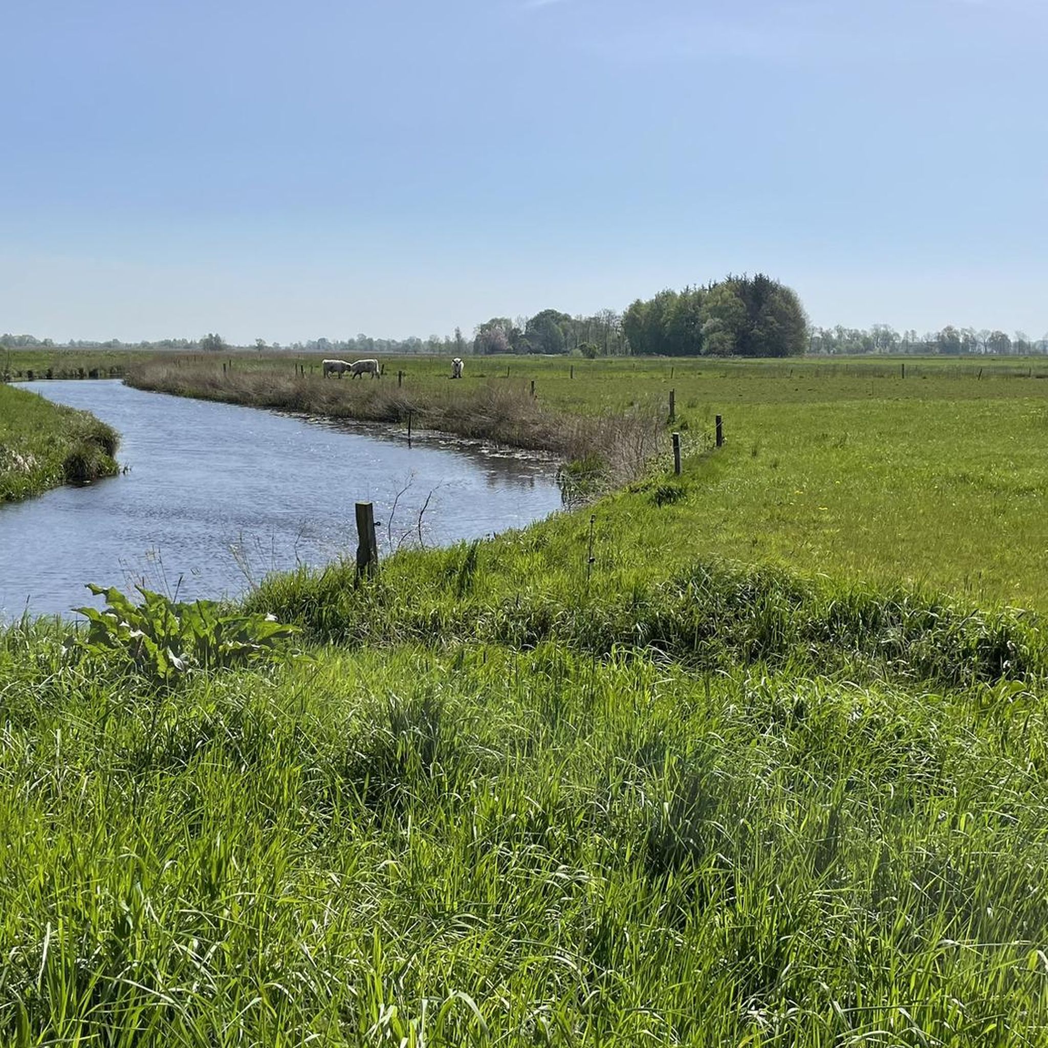
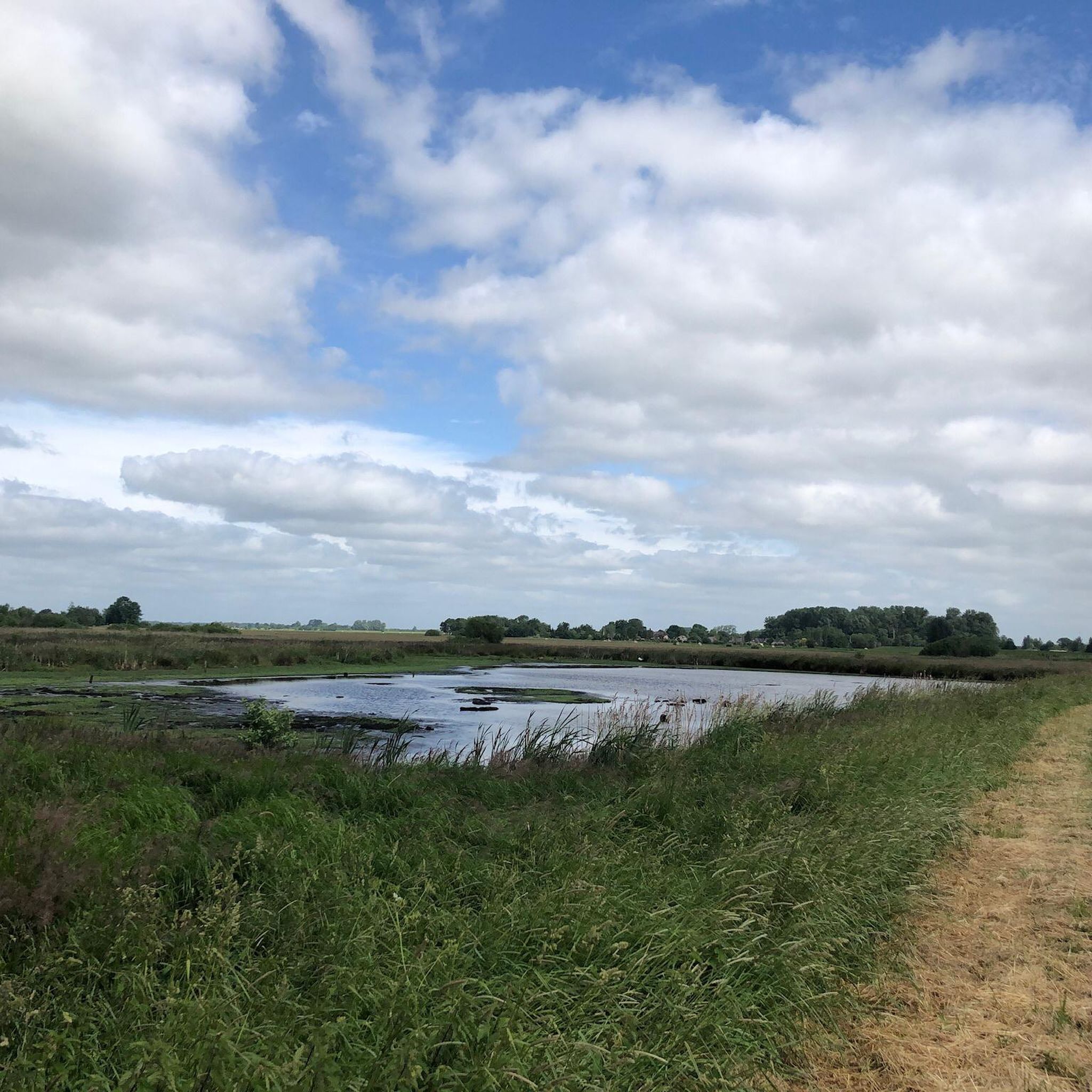
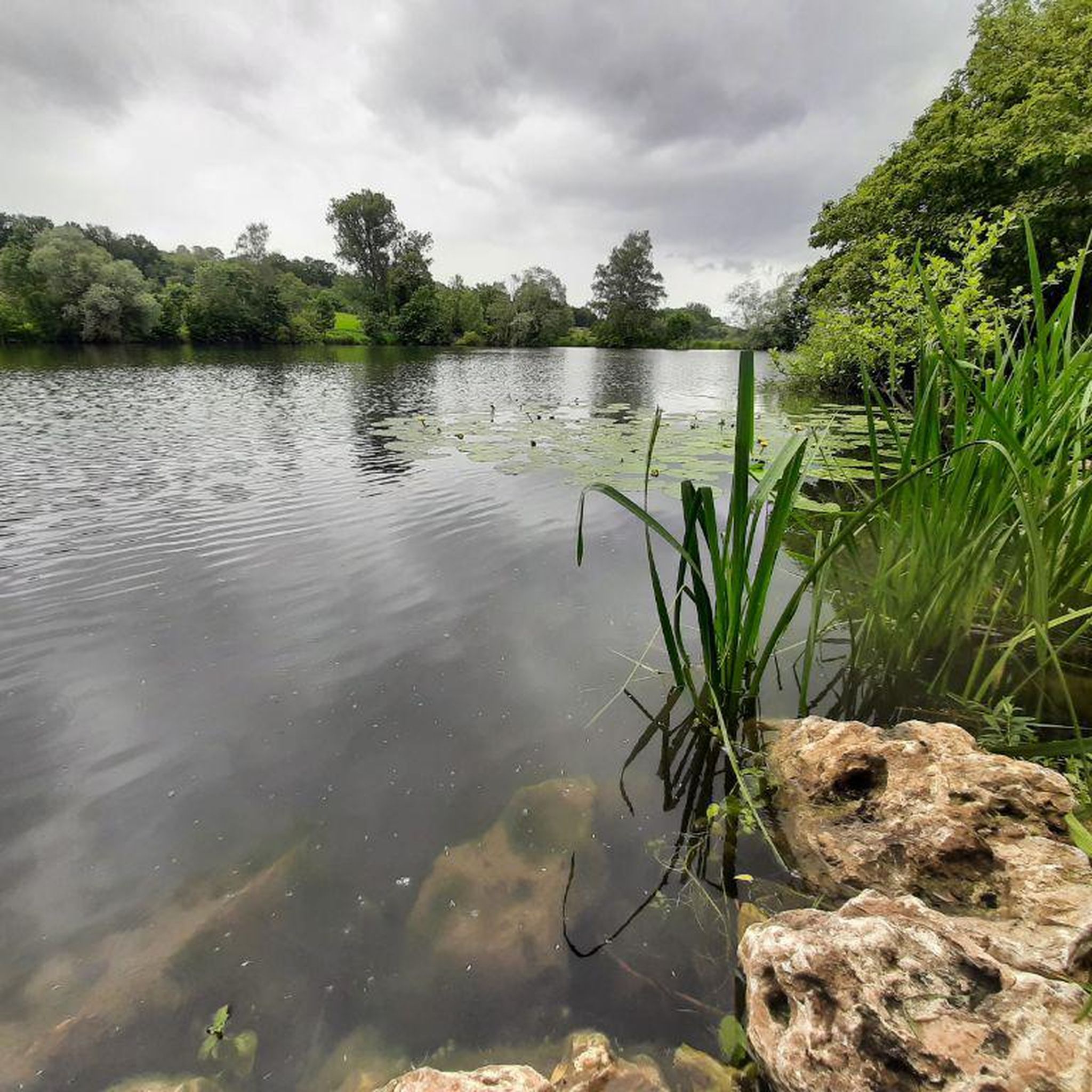
Hike with Nabu on 26.4.26 from 10 am to 2:30 pm in beautiful weather. Sunny and warm, when behind the clouds, then cool and slightly windy. In the pictures, whooper swan, nesting? Willow Warbler, Dunnock, Eurasian Reed Warbler, Sedge Warbler, Whinchat, many cranes, Great Egret, Marsh Harrier, Bluethroat was heard and Eurasian Bittern!
0
0


Impressively renaturalized and can be hiked on natural paths (possibly very damp to wet!).
0
0

Next to the B 202 federal highway, the cycle and footpath runs on its own bridge over the river, which flows to the North Sea via the Treene-Eider system.
2
0

The Dellstedter Birkwildmoor nature reserve is located in the Eider-Treene-Sorge river landscape. It covers an area of approximately 620 hectares and has been part of the FFH area “Moors of the Eider-Treene-Sorge-Niederung” since January 2010 and is therefore designated as a Natura 2000 area. In April 2016, a management plan for the conservation and development of the habitat types there was drawn up for the NSG “Dellstedter Birkwildmoor” sub-area by the Schleswig-Holstein Nature Conservation Foundation. It consists of the two separate raised moor remains, the Nordermoor and the Ostermoor, as well as the surrounding wet meadows. In some places the peat is up to six meters thick. The moor takes its name from the black grouse, which used to have very strong populations here, but has unfortunately disappeared from the moor as a breeding bird since the early 1980s. https://de.wikipedia.org/wiki/Dellstedter_Birkwildmoor
2
0

Getting informed is always good
0
0
Wildly romantic, the path is a bit muddy in places (of course it's a bog) so it's better to wear sturdy shoes.
0
0

Nice bench from which you can look at the paddocks and paths.
1
0
Frequently Asked Questions
How many hiking trails are available around Tielenhemme?
There are over 200 hiking routes around Tielenhemme, offering a wide range of options for different preferences and fitness levels. Most of these routes are classified as easy or moderate, making the area accessible for many hikers.
What kind of terrain can I expect when hiking in Tielenhemme?
The terrain around Tielenhemme is predominantly flat, characterized by expansive river meadows and the winding Eider River. You'll experience open landscapes with minimal elevation gain, making for leisurely walks through tranquil natural settings. The region is known for its unique 'Knicklandschaft' with hedges serving as natural fences.
Are there easy hiking trails suitable for beginners or leisurely strolls?
Yes, Tielenhemme offers many easy hiking trails. Over 100 routes are classified as easy, perfect for beginners or those seeking a relaxed walk. An example is the Kleiner Moorteich loop from Dörpling, which is just under 4 km long and features minimal elevation.
Can I find circular hiking routes in the Tielenhemme area?
Many of the hiking routes around Tielenhemme are designed as circular walks, allowing you to start and end at the same point. For instance, the Hohner Bicycle Ferry – Bridge Over the Rinne loop from Hohner Fähre is a popular circular trail that takes you through river meadows.
What are some notable natural features or landmarks I might encounter on the trails?
The Eider River is a central feature, offering picturesque views of its winding course and surrounding meadows. You might also encounter highlights such as Hohner Lake, the Alte Sorge Loop Nature Reserve, or the Gieselau Canal Lock and Bascule Bridge, which are points of interest in the wider area.
Are the hiking trails around Tielenhemme suitable for families with children?
Yes, the flat and generally easy terrain makes many trails around Tielenhemme very suitable for families. The minimal elevation gain ensures a comfortable experience for all ages, and the open landscapes provide opportunities for wildlife observation.
Are dogs allowed on the hiking trails in Tielenhemme?
Generally, dogs are welcome on the hiking trails around Tielenhemme. However, it's always recommended to keep your dog on a leash, especially when passing through nature reserves or areas with grazing animals, to protect local wildlife and ensure a pleasant experience for everyone.
What is the best time of year to go hiking in Tielenhemme?
The flat landscapes and river meadows of Tielenhemme are enjoyable throughout much of the year. Spring and summer offer lush greenery and active wildlife, while autumn brings beautiful colors. Due to the open nature of the terrain, be mindful of weather conditions, as it can be exposed to wind.
What do other hikers enjoy most about hiking in Tielenhemme?
The komoot community highly rates the hiking experience in Tielenhemme, with an average score of 4.6 stars from over 400 reviews. Hikers often praise the tranquil setting, the expansive views over the flat meadows, the unique character of the Eider River, and the opportunities for wildlife observation.
Are there any moderate hiking options for those looking for a bit more challenge?
Yes, while many trails are easy, there are also moderate options available. For example, the Dellstedter Birkwildmoor loop from Dellstedt is a moderate 8.9 km path that allows for a longer exploration of the region's characteristic flat, open landscapes.
Where can I find parking for hiking trails in Tielenhemme?
Many trailheads in and around Tielenhemme, especially those starting from smaller villages or specific points of interest, typically offer parking facilities. It's advisable to check the specific tour details on komoot for information on parking availability at your chosen starting point.
Is public transport available to reach hiking areas around Tielenhemme?
While Tielenhemme is a rural area, some public transport options might connect to nearby towns or villages. For specific trailheads, it's best to research local bus schedules or regional train connections to see if they align with your desired starting points. Planning ahead is recommended.
Most popular routes around Tielenhemme
Most popular attractions around Tielenhemme

Get inspired with the komoot mobile app


Explore more
Browse the best Hikes in other regions.
