The best running trails around Paspardo
4.4
(9)
1,023
runners
76
runs
Jogging around Paspardo offers routes through mountainous terrain, characterized by significant elevation changes and forested paths. The region features trails that traverse valleys and ascend towards alpine huts, providing varied running experiences. Runners can expect a mix of challenging climbs and scenic descents, with many routes offering panoramic views of the surrounding landscape. The area's natural environment provides a diverse backdrop for running activities.
Best jogging routes around Paspardo
- The most popular jogging route is De Marie al Volano Hut…
Last updated: October 9, 2026
26
runners
20.8km
02:41
890m
890m
Hard run. Very good fitness required. Sure-footedness, sturdy shoes and alpine experience required.
19
runners
9.78km
01:25
500m
500m
Hard run. Very good fitness required. Sure-footedness, sturdy shoes and alpine experience required.

19
runners
6.44km
00:41
50m
50m
Moderate run. Good fitness required. Mostly paved surfaces. Suitable for all skill levels.
21
runners
27.4km
04:43
1,910m
1,910m
Hard run. Very good fitness required. Sure-footedness, sturdy shoes and alpine experience required.
5.0
(2)
14
runners
Hard run. Very good fitness required. Mostly paved surfaces. Suitable for all skill levels.
Get access to more routes and recommendations from other explorers.
Already have an account?
Our route recommendations are based on thousands of hikes, rides, and runs completed by other people on komoot.
Start today with a free account
Your next adventure awaits.


Tips from the Community

The Rifugio Colombé is a highly appreciated mountain hut above Paspardo (Valcamonica), easily accessible and perfect for a scenic hike. It is located at an altitude of 1710 m and offers access to numerous itineraries towards Monte Colombé, Passo della Porta, Lago d’Arno, and the rock art area. 📍 Location - Location: Monte Colombé, Paspardo (BS) - Coordinates: 46.04454 N, 10.38432 E - Useful address: Via Zumella, Paspardo (most common starting point) 🥾 How to get there From Paspardo – CAI Trail 117 / 127 - Departure: Via Zumella – Centro Faunistico del Parco dell’Adamello (1100 m) - Arrival: Rifugio Colombé (1710–1850 m, depending on sources) - Elevation gain: ~750 m - Time: 1h40 – 2h30 - Difficulty: E (Hiking) The path is well-marked, starts in the woods, and then opens up to panoramic clearings with views of Valcamonica. From Cimbergo - Time: ~3h - Elevation gain: ~850 m 🏔️ What to see and do in the surroundings - Monte Colombé - Cima Barbignaga (2367 m) - Passo della Porta (connection towards Lago d’Arno) - Corno delle Pile (2899 m) - Pizzo Badile Camuno (2435 m) - Rock art sites of the Adamello Park 🛖 The hut - Manager: Massimo Alessandria - Phone: 366 503 3070 - Email: info@rifugiocolombe.it / massimo@rifugiocolombe.it - Beds: 35–37 - Lunch seats: ~90 indoors + 50 outdoors - Opening: often on request (always check) - Half board: €55–60 The hut is known for: - home-style cooking - warm welcome - splendid panoramic terrace overlooking Valcamonica
0
0

Rifugio Colombè, at 1,720 m, is located in Valcamonica and offers typical local cuisine and hospitality in a family atmosphere. Overnight stays are also possible with 37 beds. Starting point for excursions to Monte Colombè and Concarena, with a view of the Adamello group and Pizzo Badile Camuno. To check opening times, visit the refuge page: https://www.facebook.com/p/Rifugio-Colombé-100088546332468/
1
0


Spectacular view and excellent cuisine with truly friendly staff.
0
0
The refuge, built in the 1930s, is located at the base of the Volano basin, a splendid plateau enclosed like an amphitheater between the Colombè crests, the Badile Camuno peak and the Tredenus peaks.
0
0

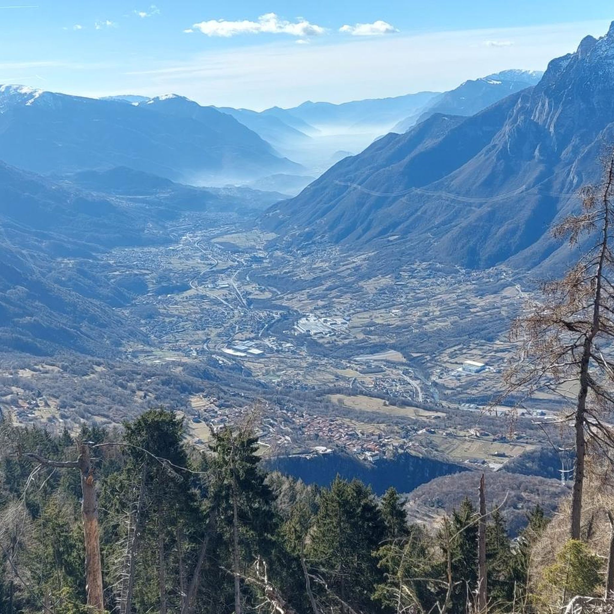
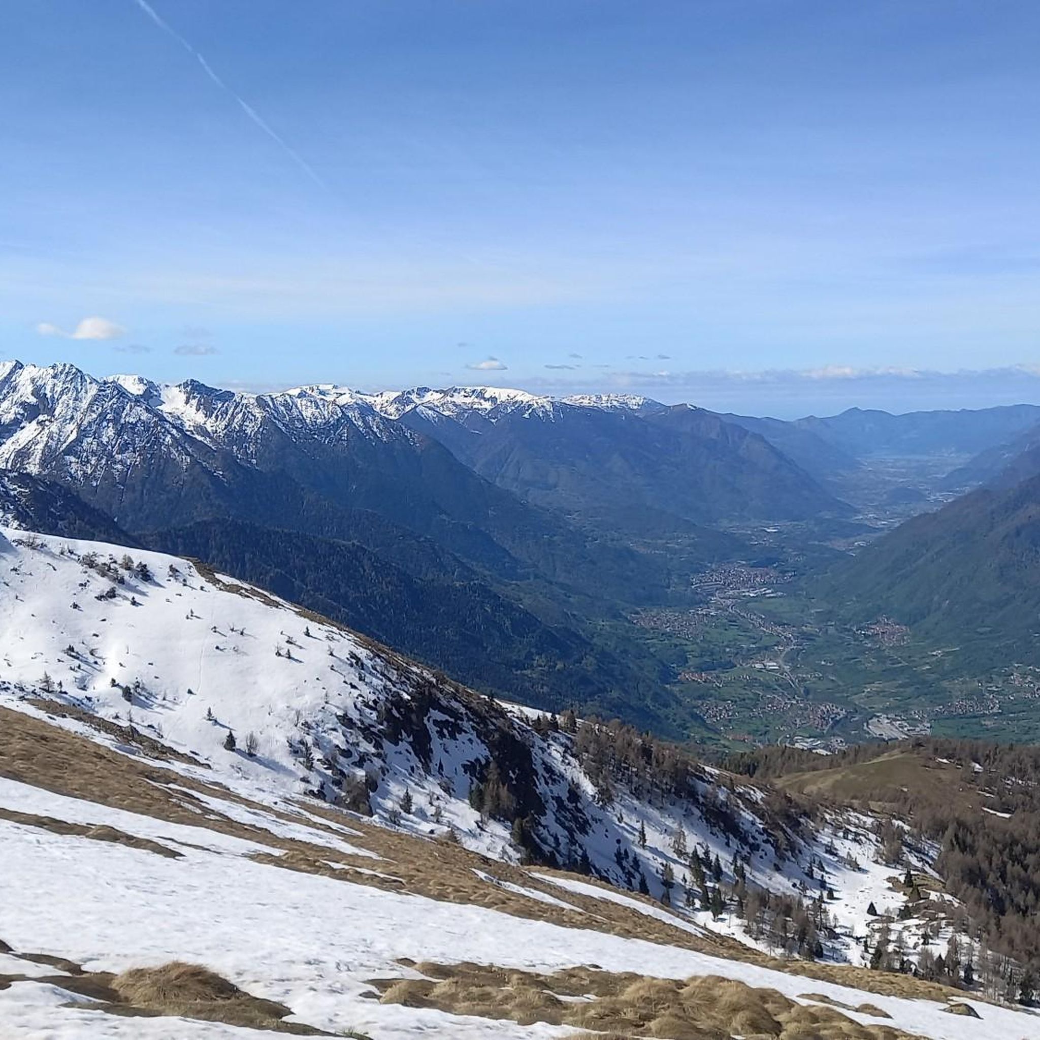
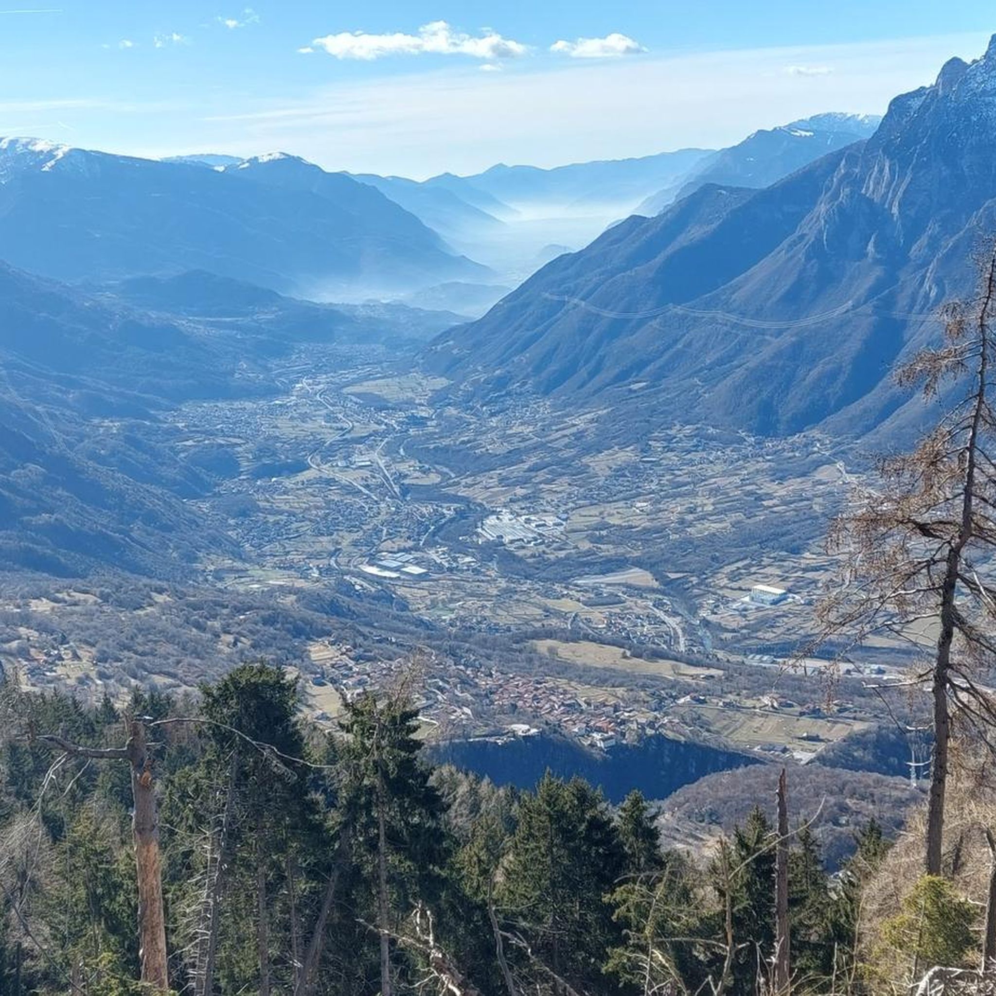
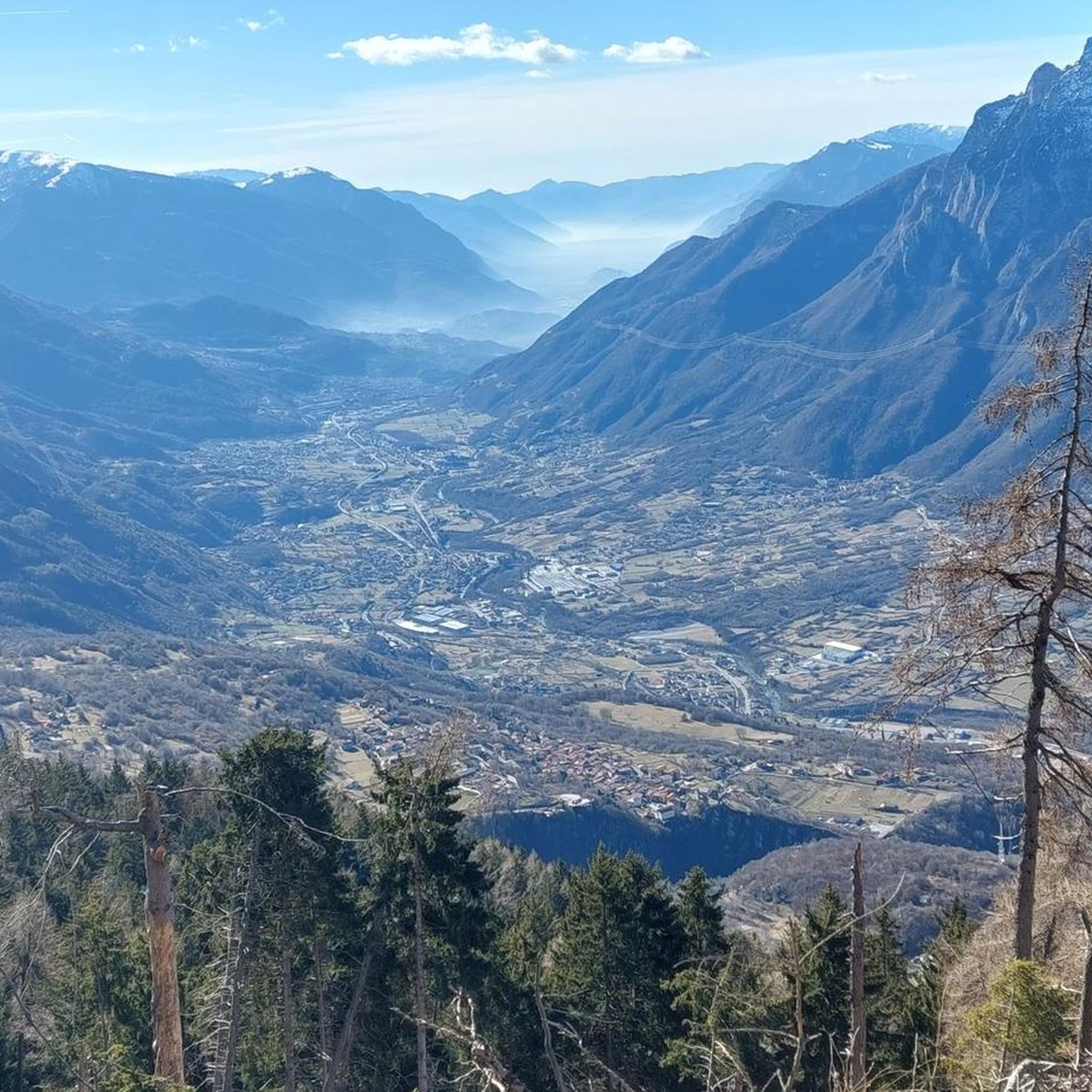
The Colombé Refuge is immersed in a setting of fantastic mountains such as the Concarena and the Eastern Orobies. It has a clean and wide view over the entire Camonica Valley, on clear days you can even glimpse Lake Iseo in the background.
0
0

The De Marie al Volano refuge, located in the middle Valle Camonica, starting from Cimbergo, inside the Adamello Park. Located in the suggestive Volano basin, surrounded by the spectacular Tredenus group and, to the south, with Pizzo Badile Camuno.
0
0

First managed by Mato Grosso volunteers, it has now passed to private management and is practically always open! Exceptional view of the Concarena and the valley below up to Lake Iseo
0
1
Frequently Asked Questions
How many running routes are available around Paspardo?
There are over 50 running routes available around Paspardo, offering a wide range of options for different preferences and fitness levels. The komoot community has mapped 59 trails in total.
What kind of terrain can I expect on the running trails in Paspardo?
Running routes in Paspardo typically feature mountainous terrain with significant elevation changes, forested paths, and trails that traverse valleys and ascend towards alpine huts. You can expect a mix of challenging climbs and scenic descents, often with panoramic views of the surrounding landscape.
Are there any easy running routes for beginners in Paspardo?
While many routes in Paspardo are challenging, there are a few options suitable for beginners. The region offers 2 easy routes and 23 moderate routes, providing a good starting point for those new to trail running or looking for a less strenuous experience.
What do other runners say about the trails in Paspardo?
The running trails in Paspardo are highly rated by the komoot community, with an average score of 4.5 stars from over 10 reviews. Runners often praise the varied terrain, challenging ascents, and the stunning mountain scenery encountered along the paths.
Can I find circular running routes in Paspardo?
Yes, Paspardo offers several excellent circular running routes. For example, the De Marie al Volano Hut – Colombé Hut loop from Paspardo is a popular 20.8 km difficult trail, and the Rifugio Colombè loop from Paspardo is another great option at 11.1 km.
Are there any running routes with scenic views in Paspardo?
Absolutely. Many running routes in Paspardo offer extensive views and challenging ascents through varied terrain. The mountainous landscape ensures panoramic vistas. You might encounter highlights like Campelli Pass or Mount Campioncino along the way, providing breathtaking scenery.
What are some interesting landmarks or attractions I can see near the running trails?
While running in Paspardo, you can discover several natural and man-made monuments. Notable attractions include mountain passes like Passo di Campo and Passo del Giovetto (1816 m). You might also come across the Malga Bissina Dam or the Statue of the Madonna of Campelli.
What is the best time of year for running in Paspardo?
The best time for running in Paspardo is generally from late spring to early autumn (May to October) when the weather is milder and the mountain trails are clear of snow. During these months, you'll experience pleasant temperatures and lush landscapes, ideal for outdoor activities.
Are there any long-distance running options in Paspardo?
Yes, Paspardo offers several long-distance running options for those seeking a challenge. For instance, the De Marie al Volano Hut – Volano Chapel loop from Paspardo is a difficult 27.4 km path, providing extensive views and challenging ascents over a significant distance.
Are the running routes in Paspardo suitable for families?
While many routes in Paspardo feature significant elevation changes and are rated as difficult, there are also easier and moderate options that could be suitable for families with some trail running experience. It's advisable to check the difficulty and length of specific routes to ensure they match your family's capabilities.
What should I wear for jogging in Paspardo's mountainous terrain?
Given the mountainous terrain and varied conditions, it's recommended to wear appropriate trail running shoes with good grip, layered clothing to adapt to temperature changes, and to carry water and snacks. Depending on the season, a light waterproof jacket might also be useful.
Are there any running routes that start from nearby towns like Capo di Ponte or Cimbergo?
Yes, you can find running routes that start from towns close to Paspardo. For example, there's a Running loop from Capo di Ponte, which is a difficult 16.9 km trail. Another option is the De Marie al Volano Hut loop from Cimbergo, a difficult 10.1 km route.
Most popular attractions around Paspardo

Get inspired with the komoot mobile app


Explore more
Browse the best Running Trails & Routes in other regions.
