The best MTB trails around Borno
3.9
(96)
912
riders
26
rides
Mountain biking around Borno offers diverse and rugged landscapes for adventurous off-road cycling. The region features the Mandara Mountains, providing challenging ascents and varied terrain, and the Biu Plateau, known for its volcanic features and significant elevation changes. Expansive Bornu Plains offer opportunities for long-distance cross-country rides, while the Gwoza Hills present unique rock formations. This varied topography creates a range of mountain bike trails suitable for different skill levels.
Best mountain bike trails around Borno
- The most popular mountain…
Last updated: October 9, 2026
4.5
(6)
223
riders
47.3km
04:49
1,490m
1,500m
Hard mountain bike ride. Very good fitness required. Suitable for all skill levels.
154
riders
34.8km
03:45
1,250m
1,250m
Hard mountain bike ride. Very good fitness required. Advanced riding skills necessary.

4.8
(19)
105
riders
25.7km
03:11
1,110m
1,120m
Hard mountain bike ride. Very good fitness required. Advanced riding skills necessary.
4.2
(21)
117
riders
24.0km
02:56
970m
970m
Hard mountain bike ride. Very good fitness required. Advanced riding skills necessary. Some portions of the route may require you to push your bike.
4.3
(3)
26
riders
31.3km
03:29
1,120m
1,120m
Hard mountain bike ride. Very good fitness required. Suitable for all skill levels.
Get access to more routes and recommendations from other explorers.
Already have an account?
Our route recommendations are based on thousands of hikes, rides, and runs completed by other people on komoot.
Start today with a free account
Your next adventure awaits.



Other adventures around Borno

Tips from the Community

during one of my tours, I found myself in this pass, spectacular how at the end of summer everything is incredibly green
0
0

21-06-26 Borno Ski Arena : chairlift closed / refuge closed ...I do not agree with this choice even though work is planned for the renovation of the structures, in the official communications from the municipality it was clearly written that they would not affect the normal running of the services...
0
0

It is a grassy saddle located on the ridge of the Costone, just above the Croce del Costone and before the terrain becomes rockier towards the Pale di San Fermo. It is a transit point, not a summit, but it is very scenic and represents an important junction for various itineraries.
0
0
🏔️ Monte Altissimo (Val Camonica) — Identity and main characteristics Monte Altissimo is a mountain in the Bergamo Prealps, 1703 m high, located between the lower Val Camonica and the lower Val di Scalve. It is the highest peak in the mountain group that separates these two valleys and overlooks the Borno plateau. Two very different sides Southern side: steep, rocky, almost devoid of vegetation, with a difference in altitude of about 1500 m from the Oglio valley floor. Northern side: gentle slope towards Borno, covered with fir trees and dotted with mountain huts, chalets and ski slopes of the Borno Ski Area. 🚶♂️ Hiking — The main itineraries Monte Altissimo is very popular with hikers thanks to the good network of trails (difficulty E). Here are the best-known and documented routes. 1) From Erbanno – Trail 197 or 155 A steep and challenging itinerary, with a significant difference in altitude. Trail 197: Start: Erbanno (Darfo Boario Terme) Passes through: small church of San Valentino (690 m), Malga Mine, junction with trail 194 From the cross: spectacular view of the lower Val Camonica and Lake Iseo Summit reachable in 15 minutes from the final junction Trail 155 (more direct and strenuous): Difference in altitude: about 1460 m Steep sections, some chains on a slightly exposed traverse Remarkable panorama over the meadows of the “Segable” Arrival at the Monte Altissimo refuge and the ski lifts 2) From Gorzone – Trail 154 A wilder route on the south side, with a long and tough climb. 3) From Borno – North side (ski slope areas) A gentler and more panoramic itinerary, often chosen for loop tours that include refuges, mountain huts and small churches (as in your story). 🏞️ What makes Monte Altissimo special Sharp contrast between the two sides: one severe and rocky, the other gentle and wooded. Wide panoramas of the lower Val Camonica, Lake Iseo and Presolana. Network of mountain huts and chalets still active in summer. Presence of the Monte Altissimo refuge at the summit, also reached by ski lifts. Possibility of very varied loops, combining woods, slopes, ridges and small isolated churches.
0
0
The Malga di Val Sorda is not a "classic" alpine pasture hut with grazing activities, but a hiking landmark located in the large meadow of Val Sorda, along the paths that lead from Croce di Salven towards Pratolungo, Malga Guccione, and finally Monte Altissimo. Online information describes it as part of the valley's pasture and pool system, crossed by CAI trails 186 and 187. 📍 Location The hut is located in the central pasture of Val Sorda, reached after about 1h10 of walking from Croce di Salven along trail 186. It is a junction point between: trail 186 (towards Pratolungo and Altissimo) trail 187 (steeper, climbs towards the Val Sorda refuge/structure)
0
0
The Church of San Fiorino is one of Borno's small historical wonders, and thanks to the sources I consulted, I can give you an accurate, complete, and up-to-date overview. 🕍 Identity and location It is a subsidiary church dedicated to San Fiorino / San Floriano, the Roman legionary invoked against fires and floods. It stands northwest of Borno, along the road leading to Lake Lova, in a very quiet grassy and wooded area. 📜 Origins and history The sources agree on a long and layered history: 11th–13th century: first documented construction phases. 1410: appears in the list of ancient Camun churches subject to contribution to the Bishop of Brescia. 1456: a papal bull establishes the curatial benefit of S. Florini. 1532: cited in the Queriniano Catalogue of ecclesiastical benefices. 1567–1573: recorded in pastoral visits as a country church. Archaeological findings During restorations and excavations, artifacts have emerged that suggest the presence of an ancient Roman place of worship: a fragment of an altar dedicated to Mercury, with a Latin inscription; a Roman burial with the mark "LLAESEC"; stone elements with grooves typical of ancient thresholds. These findings strengthen the hypothesis that the church was built on a previous pagan temple. 🏛️ Architecture The church is simple and harmonious, typical of Camun rural chapels: Single nave with two bays. Rectangular presbytery with a barrel vault. Mixed masonry bell tower. Sober facade, with an off-center stone portal and traces of frescoes. Inside, you can find: 16th-century frescoes (partially mutilated), a 15th-century fresco with San Fiorino in the guise of a legionary, architectural elements from different eras. 🔧 Restorations The church, deteriorated by time, was restored in 1978 thanks to Don Costantino Ravelli.
0
0
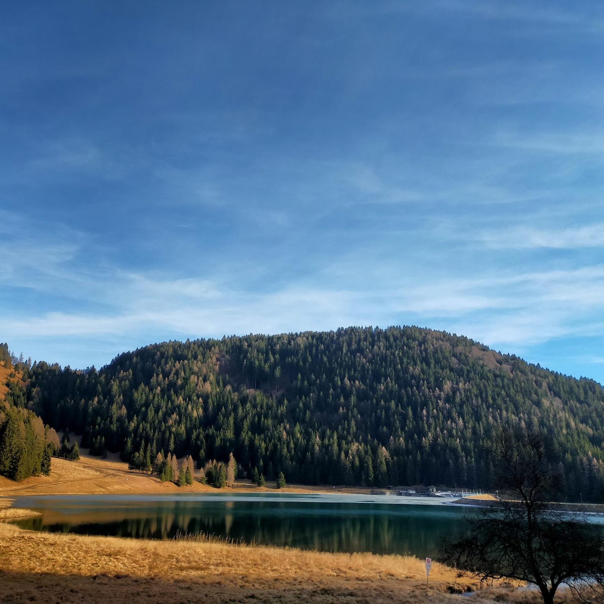
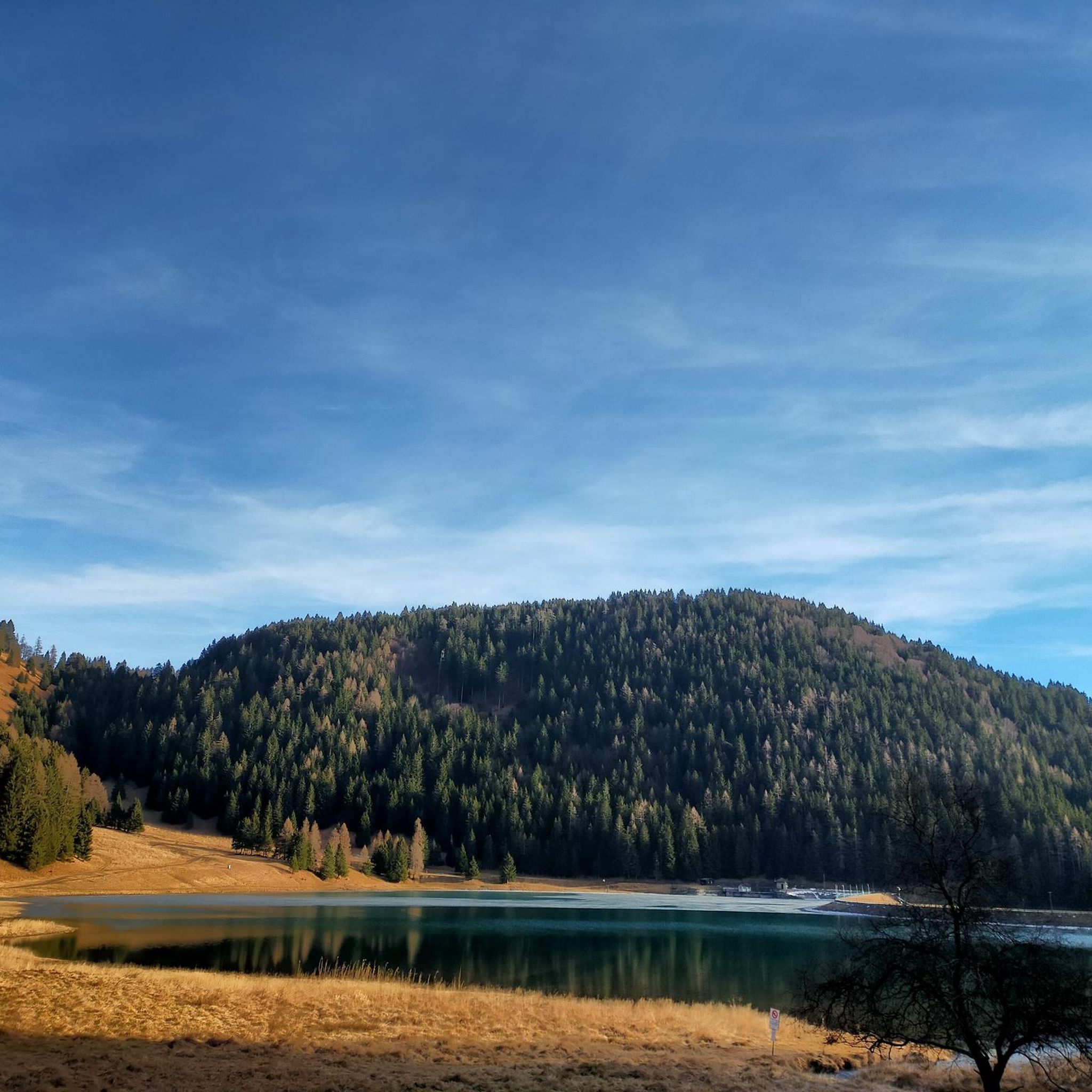
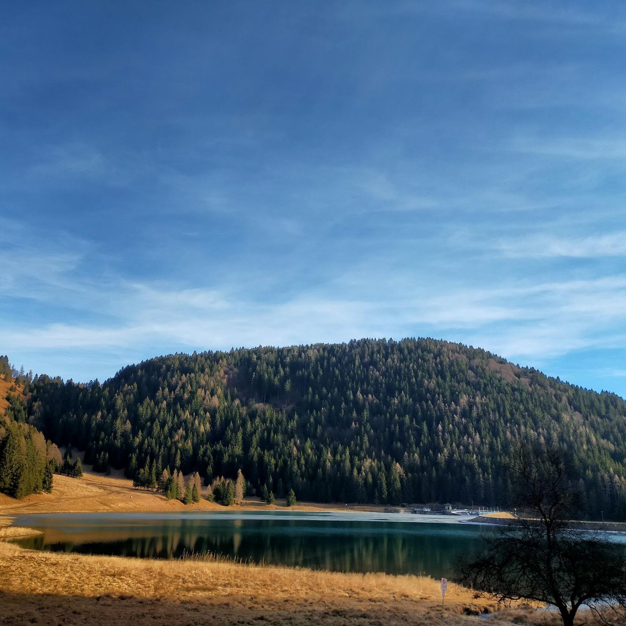
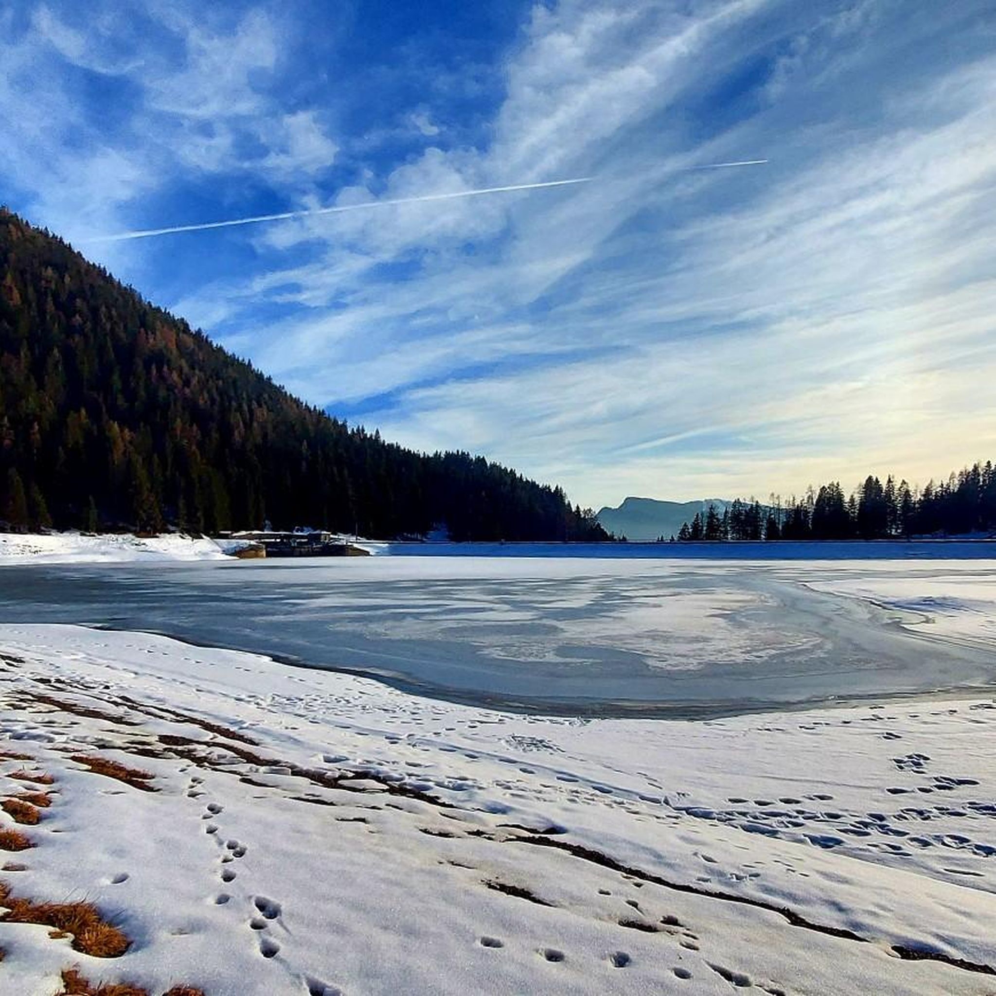
🏞️ Lago di Lova — Borno (Valle Camonica) 📌 Identity and characteristics Lago di Lova is a small alpine lake located at about 1300 m altitude, in a glacial basin between: Pizzo Camino (2491 m) Monte Mignone (1742 m) It is fed by two small streams and flows downstream, forming the San Fiorino stream. The environment is typical of the Lombard Prealps: red fir woods on the south side, wide pasture on the north side, luminous and very tranquil atmosphere. 🚶♂️ How to get there From Borno – Navertino (the most classic) Elevation gain: about 400 m Time: 1 h – 1 h 15’ Path initially asphalted up to the Trattoria Navertino, then dirt and steep in some sections. Mixed terrain: cobblestones, dirt, dense forest. From Ossimo Superiore Steep mule track up to Baleggie, then a flat traverse towards the lake. From Villa (Lozio) Ascent to Colle del Mignone (1526 m) and descent towards the lake. All itineraries are for pedestrians or MTB only: motorized vehicles are prohibited. 🏡 Services and atmosphere At the lake, you'll find Chalet Lova, highly appreciated for its sandwiches and typical dishes, with outdoor tables and a picnic area. The place is ideal for: families, hikers, photographers, scenic breaks before heading up towards Mignone or Varicla. 🔗 Hiking connections Lago di Lova is a central hub for several CAI itineraries: Colle Mignone → Monte Mignone → loops towards Agol, Averta, Varicla Rifugio Laeng (via 110/182) Malga Mignone (steep but direct ascent) Rifugio San Fermo (upper part of CAI 82) ⭐ Why it's special It is one of the most iconic and accessible places on the plateau. It offers a perfect mix of forest, water, and pastures. It is a starting point for more challenging itineraries but also an ideal destination for a short trip. It has a serene and bright atmosphere, much loved by families and photographers.
1
0
Frequently Asked Questions
What kind of terrain can I expect when mountain biking in Borno?
Borno offers a diverse and rugged landscape. You'll find challenging ascents and varied terrain in the Mandara Mountains, unique rock formations and significant elevation changes on the Biu Plateau, and expansive plains for long-distance cross-country rides across the Bornu Plains. The Gwoza Hills also provide engaging topography with unique rock formations.
Are there mountain bike trails suitable for beginners in Borno?
Yes, while many routes are challenging, there are options for various skill levels. Out of the 19 mountain bike trails around Borno, 1 is rated as easy, and 7 are considered moderate, offering less demanding rides for those new to the sport or looking for a more relaxed experience.
What are some of the more challenging mountain bike trails in Borno?
For experienced riders seeking an adrenaline rush, Borno offers several difficult routes. Notable challenging trails include the Lake Lova – Mount Mignone loop from Borno, which covers 29.4 miles with significant elevation gain, and the Mount Mignone – Lake Lova loop from Valle Lovareno, a 21.6-mile path with challenging climbs and descents.
What do other mountain bikers enjoy most about the trails in Borno?
The mountain bike trails around Borno are highly rated by the komoot community, with an average score of 4.6 stars from over 60 reviews. Riders often praise the rugged mountain ranges, volcanic plateaus, and the varied terrain that provides options for all experience levels.
Are there any circular mountain bike routes in Borno?
Yes, many of the popular mountain bike trails in Borno are designed as loops. For example, the Lake Lova – Mount Mignone loop from Borno and the Lake Lova – San Fermo Hut loop from Borno are excellent circular options that allow you to start and finish in the same location.
What natural features or landmarks can I see along the mountain bike trails in Borno?
The region is rich in natural beauty. You can encounter stunning views in the Mandara Mountains, unique rock formations in the Gwoza Hills, and the dramatic gorges of the Biu Canyons on the Biu Plateau. There are also several picturesque lakes, such as Lova Lake and Lake Moro, which can be scenic destinations or starting points for rides.
Are there any bike parks or dedicated mountain biking areas near Borno?
Yes, there are several highlights related to bike parks and dedicated trails in the vicinity. You can explore areas like the Descent from Tagliaferri hut to Valle del Vò or Route 2 Cerreto (S1-S2), which offer specific mountain biking experiences.
What is the best time of year for mountain biking in Borno?
The Biu Plateau, with its volcanic features, often experiences cooler weather, which can be more comfortable for mountain biking. However, given the regional climate, it's advisable to check local weather forecasts and seasonal conditions before planning your trip to ensure optimal riding conditions.
Are there any specific regulations or permits required for mountain biking in Borno?
While specific mountain biking permits are not widely highlighted, it's important to be aware of local regulations. A recent report indicates a ban on motorcycles, including electric bikes, in Borno State due to security concerns. It is crucial to verify current regulations regarding all forms of two-wheeled transport before planning your trip.
Are there options for e-bike rental or repair in Borno?
The fan-out queries suggest user interest in 'noleggio e-bike a borno' (e-bike rental in Borno) and 'riparazione e-bike a borno' (e-bike repair in Borno). While specific services are not detailed in the provided data, it indicates a demand for such amenities. It's recommended to check locally upon arrival or search for specialized shops in nearby towns.
Can I reach mountain bike trails in Borno using public transport?
While the guide data doesn't specify public transport access to individual trailheads, the region's main urban centers like Maiduguri serve as transport hubs. For general information on reaching Borno State, you can consult resources like Wikivoyage: Borno State or Wikivoyage: Maiduguri, and then plan onward travel to specific trail starting points.
Are there any family-friendly mountain bike trails in Borno?
While the majority of listed routes are moderate to difficult, the presence of an 'easy' rated trail suggests there are options suitable for families or those looking for less strenuous rides. When planning a family outing, look for routes with lower elevation gain and shorter distances, which are typically more accessible for all ages.
Most popular attractions around Borno

Get inspired with the komoot mobile app


Explore more
Browse the best MTB trails in other regions.
