The best mountain hikes around Schilpario
4.4
(5)
48
hikers
9
hikes
Mountaineering routes around Schilpario, nestled in the Val di Scalve within the province of Bergamo, Italy, traverse a prealpine environment characterized by impressive dolomitic peaks and sharp, vertical rock walls. The region features extensive fir and pine forests that transition into the higher elevations of the Orobie Bergamasche, offering diverse terrain for mountaineers. Deep ravines, such as the Orrido della Via Mala carved by the Dezzo River, and significant mountain passes like Campelli Pass, contribute to the varied landscape.
Best…
Last updated: September 24, 2026
4.0
(1)
10
hikers
9.07km
03:05
460m
460m
Moderate mountaineering route. Good fitness required. Mostly accessible paths. Sure-footedness required.
8
hikers
11.0km
06:48
1,280m
1,280m
Hard mountaineering route. Very good fitness required. Sure-footedness, sturdy shoes and alpine experience required.

6
hikers
11.5km
05:04
860m
860m
Hard mountaineering route. Very good fitness required. Sure-footedness, sturdy shoes and alpine experience required.
4.3
(3)
9
hikers
20.9km
08:48
1,510m
1,510m
Hard mountaineering route. Very good fitness required. Sure-footedness, sturdy shoes and alpine experience required.
6
hikers
13.9km
07:58
1,470m
1,460m
Hard mountaineering route. Very good fitness required. Sure-footedness, sturdy shoes and alpine experience required.
Get access to more routes and recommendations from other explorers.
Already have an account?
Our route recommendations are based on thousands of hikes, rides, and runs completed by other people on komoot.
Start today with a free account
Your next adventure awaits.
Popular around Schilpario

Path of the Iron Woods in Northern Italy – Via Decia
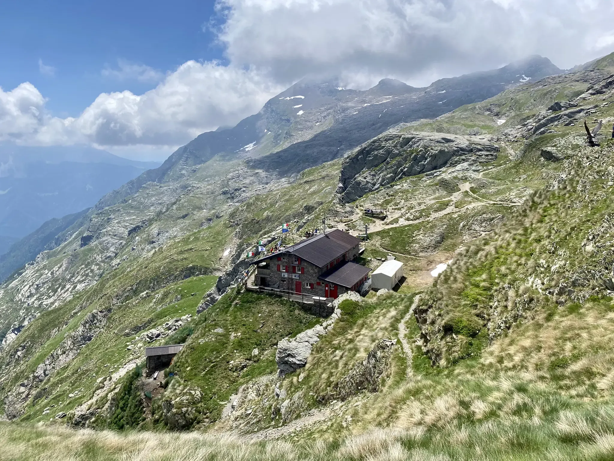
Antonio Curò nature route – two days in the Bergmanesque Alps
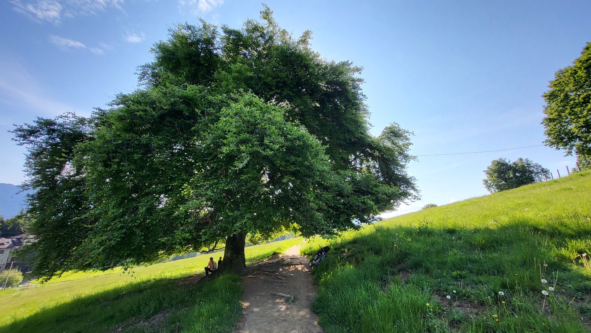
In Val di Scalve – CamminaForeste in Lombardia part 4
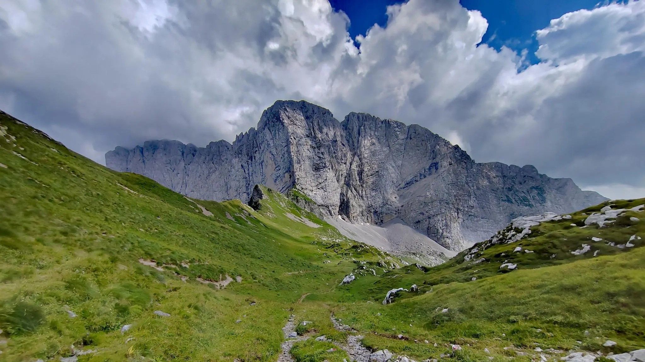
Trekking in val di Scalve – among the Piccoli Dolomiti Bergamasche
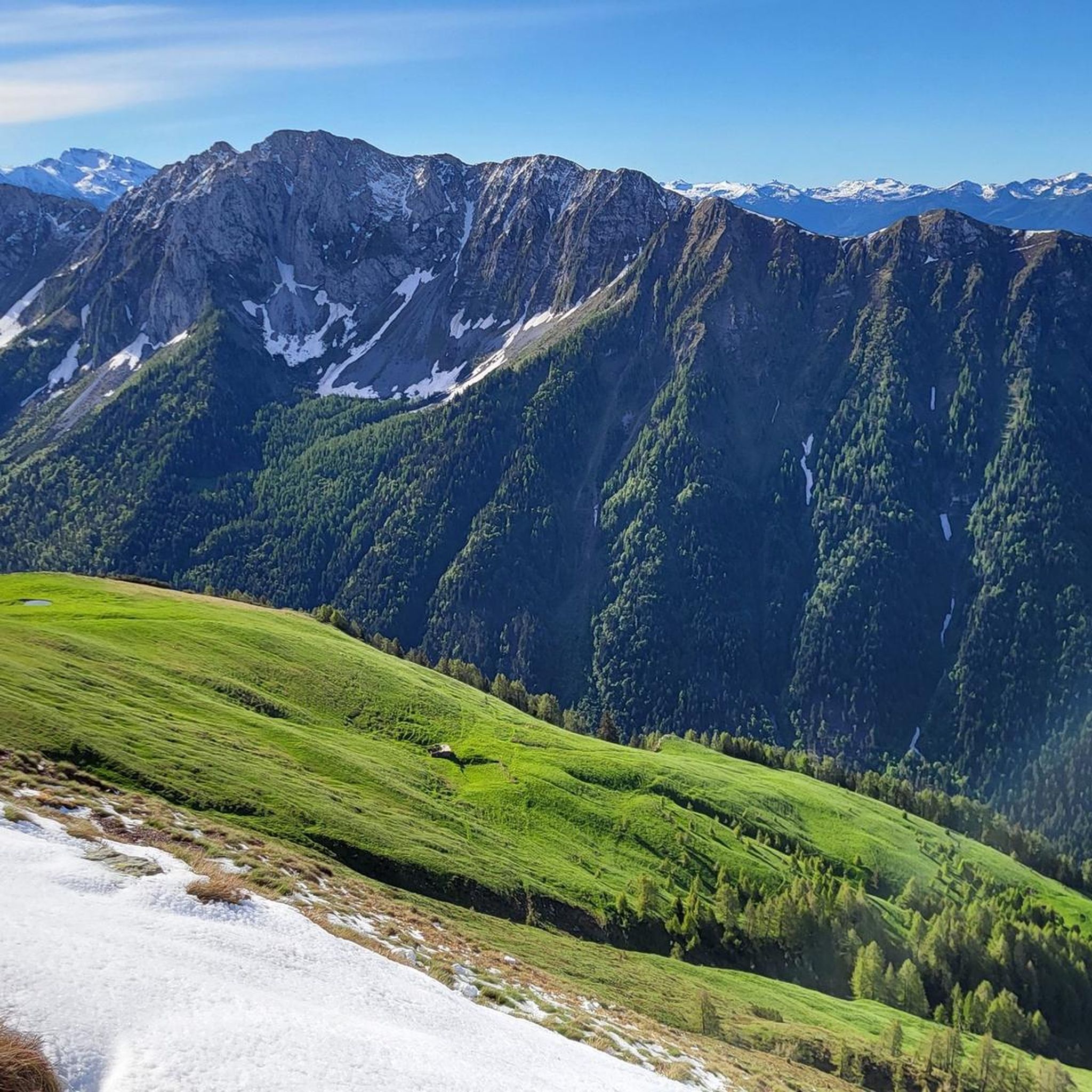
Hiking around Schilpario
MTB Trails around Schilpario
Road Cycling Routes around Schilpario

Gravel biking around Schilpario
Running Trails around Schilpario
Cycling around Schilpario
Other adventures around Schilpario


Tips from the Community

quiet and almost entirely on asphalt
0
0

On the way up to the Coca refuge, you will find this staircase
0
0
Stone staircase on the path to the Coca refuge
0
0

Very kind and friendly staff
0
0

cover charge 1€ extra bread 1€ barley soup 9€ gnocchi with cream, speck, Zola 13€ pasta with ragu 12€ polenta with goulash or stew 16€
0
0


A passage that may frighten the less experienced but is safe and without major difficulties
1
0
Merelli Refuge at Coca: a rugged and fascinating place in the Orobie Alps The Mario Merelli Refuge at Coca, at 1,891 meters, is one of the most iconic spots in the Coca Valley. Dedicated to the Bergamo mountaineer Mario Merelli, it retains his spirit: essential, authentic, deeply rooted in the mountains. Its location is what immediately strikes you: a natural balcony leading to the basin of the Orobie Giants, dominated by Pizzo Coca, Redorta, Scais, and Porola, a cluster of peaks that creates an imposing and almost solemn amphitheater. The ascent from Valbondione The classic access starts from Valbondione, near the village of Grumetti. The trail climbs steeply from the start, gaining altitude with regular switchbacks. It's a route that many describe as steep but safe, challenging enough to give you a sense of the mountain without ever becoming technical or exposed. Once out of the forest, the valley opens up and the dark walls of the Coca appear; The final, more challenging stretch leads to the refuge, which suddenly appears on a panoramic hill. The effort is always rewarded: those who arrive speak of its astonishing beauty and a setting that remains in their hearts. A refuge that tells a story The Merelli is a base for climbing Pizzo Coca and for crossings to the Brunone and Curò refuges, but it is also a place of memory. Inside, you can feel the legacy of Mario Merelli, and the atmosphere is that of the refuges of old: simple, welcoming, and sincere. It is a refuge that is not reached by chance: it is reached with commitment, and perhaps for this very reason, it leaves a profound impression.
0
0
Frequently Asked Questions
What kind of mountaineering routes can I find around Schilpario?
Schilpario offers a variety of mountaineering routes, primarily categorized as difficult, with a few moderate options. The terrain features impressive dolomitic peaks, sharp rock walls, and extensive fir and pine forests, transitioning into the higher elevations of the Orobie Bergamasche. You'll encounter deep ravines and significant mountain passes, providing diverse challenges for mountaineers.
Are there any circular mountaineering routes in the Schilpario area?
Yes, several circular routes are available. For a challenging high-altitude experience, consider the Rifugio Mario Merelli al Coca – Lake Coca loop from Valbondione. A moderate option offering panoramic views is the Madonnina dei Campelli – Lake of Campelli loop from Fondi. Another difficult circular route takes you through dramatic canyon terrain: the First Canyon – View of the Southern Valley loop from Lozio.
What are the most challenging mountaineering routes near Schilpario?
The majority of mountaineering routes around Schilpario are rated as difficult. Notable challenging options include the Rifugio Mario Merelli al Coca – Lake Coca loop from Valbondione, which involves significant elevation gain and high-altitude challenges. Another demanding route is the Monte Ferrante Summit – Corna Gemelle loop from Colere, covering over 18 kilometers with substantial ascent.
Are there any moderate mountaineering routes suitable for less experienced climbers?
While many routes are difficult, there are a few moderate options. The Madonnina dei Campelli – Lake of Campelli loop from Fondi is a moderate 11.6 km path that offers stunning panoramic views of the Scalve and Camonica valleys from Campelli Pass, making it a good choice for those seeking a less strenuous but rewarding experience.
What natural landmarks or viewpoints can I expect to see on these routes?
The region is rich in natural beauty. You can expect to see impressive dolomitic peaks, deep ravines like the Orrido della Via Mala, and significant mountain passes such as Campelli Pass. The Orobie Mountains provide a stunning backdrop, and routes often offer views of artificial lakes like Barbellino Lake, as well as natural lakes in Val Belviso. The ruins of the Gleno Dam are also a striking monument and a popular hiking destination.
Are there any mountain huts or bivouacs along the mountaineering trails?
Yes, the area provides essential support for longer expeditions with several mountain huts and bivouacs. The Antonio Curò Mountain Hut and the Albani Refuge are popular destinations. You might also encounter the Città di Clusone bivouac, located at the foot of Presolana's south face, which serves as an emergency shelter for mountaineers.
What do other mountaineers say about the routes in Schilpario?
The mountaineering routes in Schilpario are highly rated by the komoot community, with an average score of 4.7 stars. Mountaineers often praise the diverse terrain, from challenging peaks to scenic forests, and the rewarding views from high-altitude points like Campelli Pass.
Are there any interesting historical sites or caves to explore near the routes?
Yes, the region has several intriguing sites. You can explore the Pagani Cave or visit historical mining sites like the Fluorite Mines Near Rifugio Albani and the Lupi Mine at the Piane di Lizzola. The Büs dei Ladrù (Thieves' Hole) Gorge also offers a dramatic natural and historical experience.
What is the best season for mountaineering in Schilpario?
The Orobie Mountains offer diverse experiences throughout the year. While summer is ideal for high-altitude mountaineering, the region also transforms into a winter sports destination, providing opportunities for ski mountaineering and snowshoeing through pine forests. Always check local conditions and weather forecasts before heading out, especially for routes involving snow and ice.
How many mountaineering routes are available around Schilpario?
There are approximately 10 mountaineering routes detailed for the Schilpario area, offering a range of difficulties from moderate to difficult, ensuring options for various skill levels.
Can I find routes that lead to prominent peaks or summits?
Absolutely. The area is known for its impressive peaks. For example, the Monte Ferrante Summit – Corna Gemelle loop from Colere specifically targets a summit experience. Other routes offer views of significant mountains like Pizzo Camino and Pizzo del Diavolo di Tenda, which are accessible from Schilpario.
Most popular routes around Schilpario
Most popular attractions around Schilpario

Get inspired with the komoot mobile app


Explore more
Browse the best Mountain Hikes & Routes in other regions.
