The 12 Most Amazing Peaks around Postalesio
Best mountain peaks around Postalesio are situated within the Valtellina region, offering access to the Rhaetic Alps and the Orobie Valtellinesi Regional Park. This area features diverse ecosystems, ranging from forests to alpine meadows. The landscape provides numerous opportunities for outdoor exploration and panoramic views. Postalesio itself is known for unique earth pyramids in its morainic area.
Best mountain peaks around Postalesio
- The most popular mountain peaks is Pizzo Meriggio Summit, a summit that offers a 360-degree panorama over…
Last updated: August 17, 2026
Cesare Ponti Hut
Highlight • Mountain Hut
Translated by Google •
Tip by

Pizzo Meriggio Summit
Highlight • Summit
Translated by Google •
Tip by

Sign up now to discover places like this
Get recommendations on the best single tracks, peaks, & plenty of other exciting outdoor places.
Sign up for free
Pioda Hut
Highlight • Mountain Hut
Translated by Google •
Tip by

Mount Scermendone
Highlight • Summit
Translated by Google •
Tip by

Culmine di Campo Cross
Highlight • Monument
Translated by Google •
Tip by
Sign up for free to discover even more peaks around Postalesio.
Sign up for free
Already have an account?
Start today with a free account
Your next adventure awaits.
Login or Signup

Tips from the Community

Great walk but we found the refuge closed. 04/20/25
0
0

Legendary refuge at the foot of Mount Disgrazia. It is located along the Roma trail and is a passage point of the Kima Trophy. In short, an exceptional place for mountain lovers.
3
0

Good starting point to reach Monte Disgrazia.
0
0

Easy to reach summit after a very panoramic walk from Campelli. Panoramic view of the Disgrazia and Bernina groups, of Valmalenco and the adjacent valleys with the Scais and Venina lakes. Magnificent perspective on the Rhaetian Alps, the ridge path that leads to the cross is spectacular!
0
0

Refuge stop on the Sentiero Roma or reachable from the Preda Rossa plain (toll road). Excellent location both for the view and for the streets that start from here
0
0

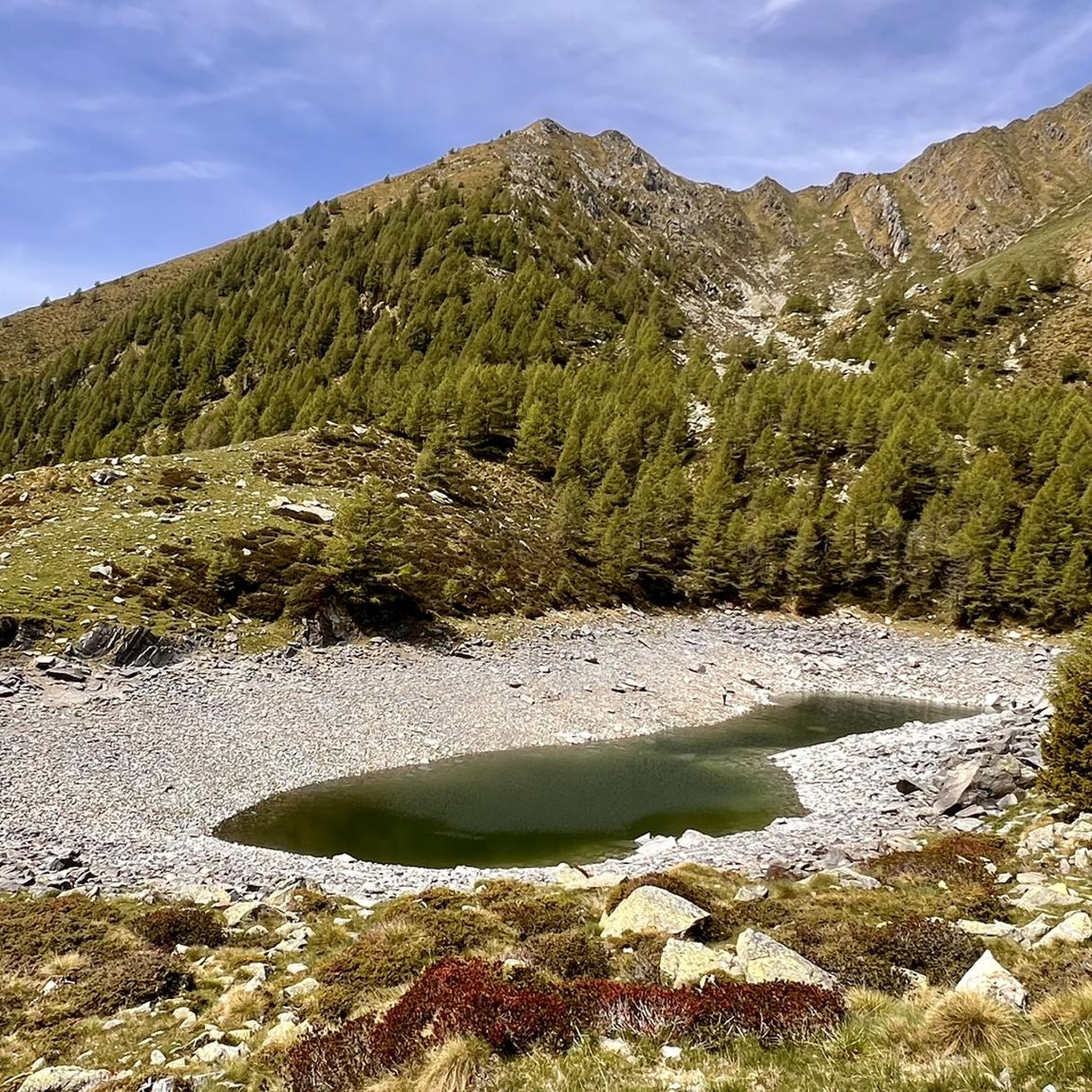
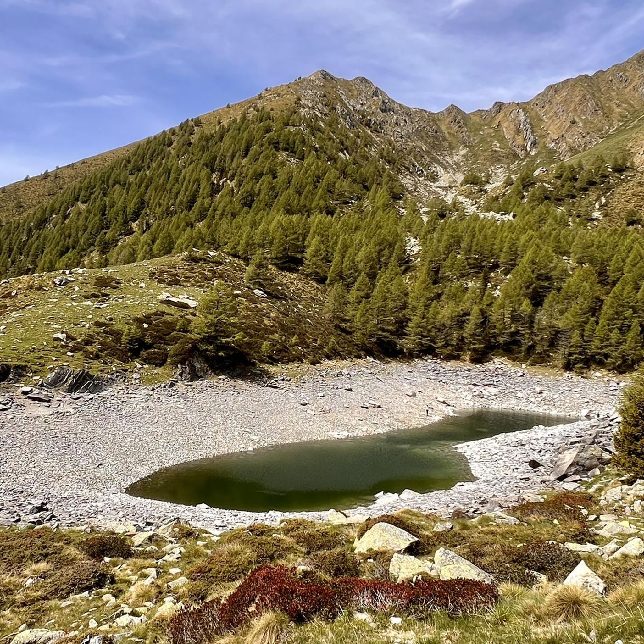
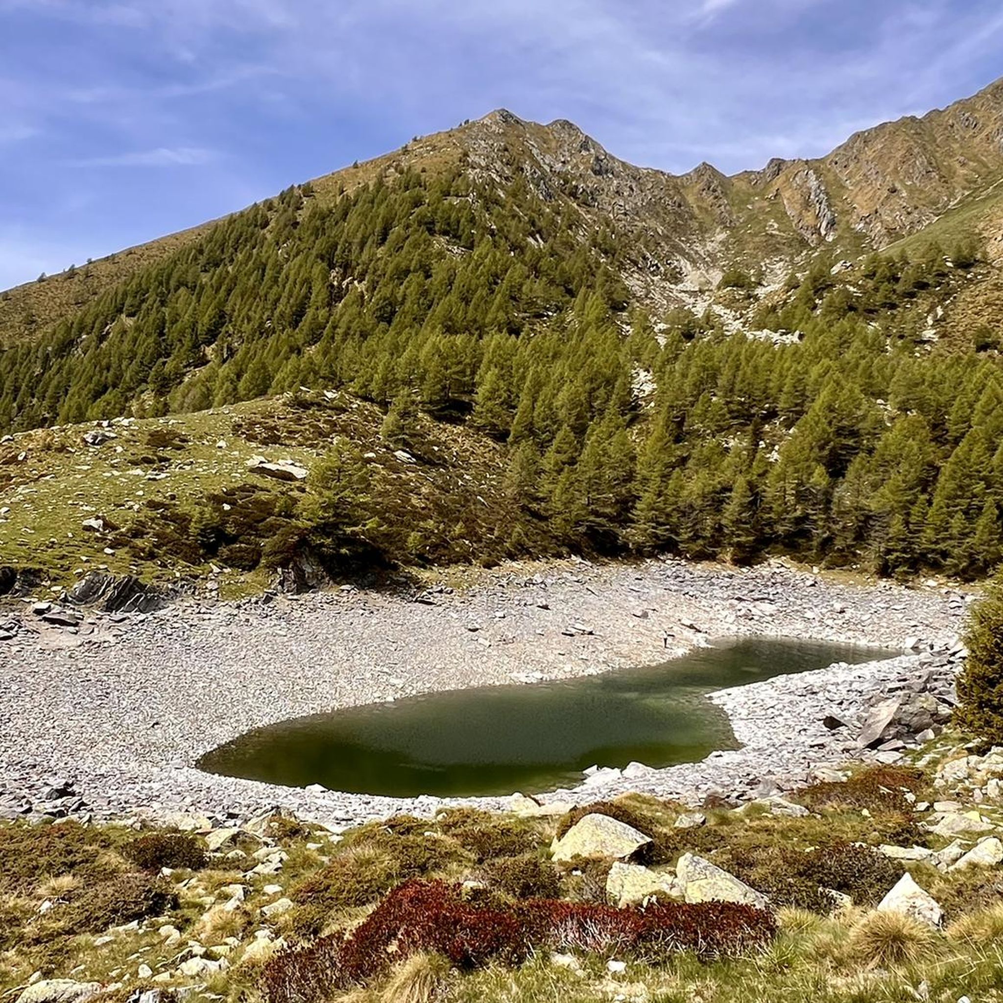
From Pizzo Meriggio the view is 360 degrees over the Disgrazia group, the Bernina, the Ortles, the Adamello to the north/north-east and to the south over the giants of the Orobie: Pizzo Coca, Pizzo Redorta and Cima Scais. Below the summit you can see the Zocche lakes.
0
0

Reachable in about 3 hours' walk from Campelli, Pizzo Meriggio is a peak in the Orobie area particularly appreciated by hikers for the beautiful panorama it offers.
2
0
Just below the top of Mount Culmine there is a large cross of the Culmine di Campo, clearly visible from the town of Campo.
1
0
Frequently Asked Questions
What are some of the most rewarding mountain peaks to hike near Postalesio?
For exceptional 360-degree panoramic views, consider hiking to Pizzo Meriggio Summit. From here, you can see the Disgrazia, Bernina, Ortles, and Adamello groups. Another notable peak is Mount Scermendone, which offers great views of nearby peaks after a challenging climb. Pizzo Bello also provides a unique perspective of the Corni Bruciati-Monte Disgrazia group.
Are there any family-friendly mountain trails or viewpoints around Postalesio?
While many peaks offer challenging routes, the region provides diverse landscapes. For a less strenuous experience with a clear landmark, the Culmine di Campo Cross, located just below the top of Mount Culmine, offers an intermediate hiking experience and is clearly visible from the town of Campo. The lower sections of trails within the Orobie Valtellinesi Regional Park, which feature forests and alpine meadows, can also be suitable for families.
What kind of natural features can I expect to see when exploring the mountains near Postalesio?
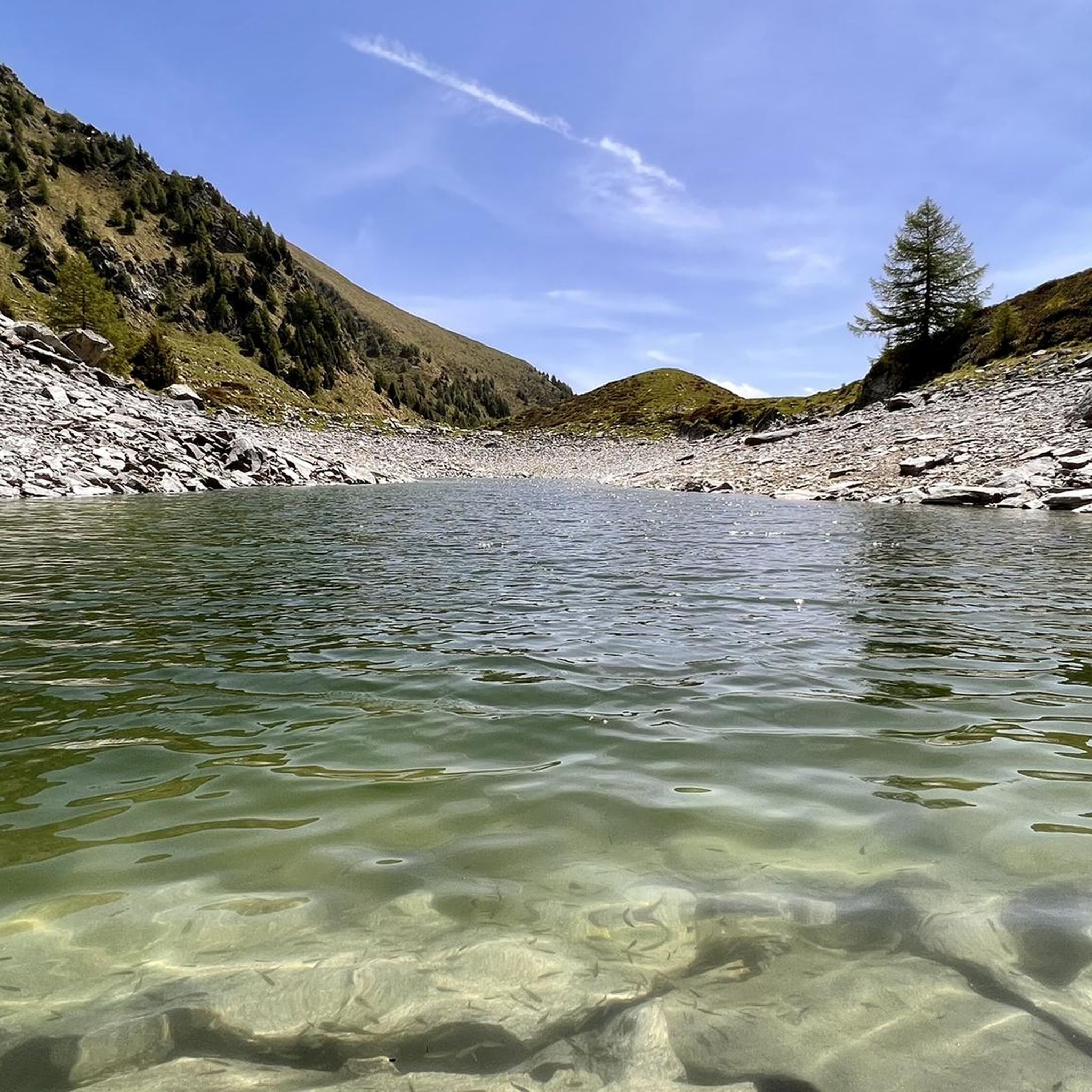
The mountains around Postalesio, particularly within the Orobie Valtellinesi Regional Park, boast a rich diversity of ecosystems. You'll encounter deciduous forests, chestnut groves, and coniferous forests at lower altitudes, transitioning to alpine meadows higher up. From peaks like Pizzo Meriggio Summit, you can also spot picturesque lakes, such as the Zocche lakes, below the summit.
What is the best time of year to visit the mountain peaks around Postalesio?
The best time to visit for hiking is generally from late spring to early autumn (May to October) when trails are clear of snow and weather conditions are more stable. During winter, some trails, like those leading to Pizzo Meriggio Summit, can be enjoyed with snowshoes, offering a different experience, but require appropriate gear and awareness of snow conditions.
What outdoor activities can I do near the mountain peaks of Postalesio?
Beyond hiking and climbing the peaks, the area offers a variety of outdoor activities. You can find numerous running trails, such as the "Piramidi di Postalesio loop" or "Alpe Colina loop," which are often challenging. For cycling enthusiasts, there are gravel biking routes like the "Valtellina Trail" and MTB trails including the "Pra Lone – Lake Colina loop." You can explore more options on the Running Trails around Postalesio, Gravel biking around Postalesio, and MTB Trails around Postalesio guide pages.
Are there any challenging mountain routes for experienced hikers near Postalesio?
Yes, the region offers several challenging routes. The ascent to Mount Scermendone is a demanding climb to a summit only reachable on foot. The final stretch to the summit of Pizzo Bello also involves a somewhat sharp ridge requiring attention. Additionally, the Orobie Valtellinesi Regional Park features a dense network of trails, including sections of the "Gran Via delle Orobie," which cater to various levels of hiking experience, including challenging treks.
Where can I find accommodation or facilities like huts in the mountains around Postalesio?
You can find mountain huts that offer accommodation and services. The Cesare Ponti Hut, located at 2,560 meters, is a legendary refuge at the foot of Monte Disgrazia. It offers 70 beds and a restaurant service with typical Valtellina products. It's advisable to call ahead to check availability and trail conditions. There is also the Pioda Hut, though it is unmanaged.
What kind of wildlife can be spotted in the mountains near Postalesio?
The Orobie Valtellinesi Regional Park is home to typical Alpine fauna. Visitors have the chance to spot animals such as deer, roe deer, ibex, and capercaillie, which is the park's symbol. The diverse ecosystems, from forests to alpine meadows, provide habitats for a variety of species.
What do visitors enjoy most about the mountain peaks around Postalesio?
Visitors highly appreciate the stunning panoramic views offered by the peaks, especially the 360-degree vista from Pizzo Meriggio Summit. The variety of routes, from intermediate to challenging, and the immersion in the diverse natural beauty of the Valtellina landscape are also frequently highlighted. The komoot community has shared 97 photos and given 57 upvotes, reflecting the area's appeal.
Are there any historical connections or unique landmarks on the mountain peaks?
Yes, Pizzo Bello holds a unique historical connection, as it was once the name attributed to the much larger Monte Disgrazia. The summit is marked by a small cross. Additionally, the Culmine di Campo Cross is a man-made monument clearly visible from the town of Campo, offering a cultural landmark amidst the natural beauty.
How accessible are the mountain peaks near Postalesio by public transport or car?
While specific public transport routes directly to trailheads can vary, Postalesio is situated in the Valtellina region, which has some public transport options. For many trailheads, such as the starting point for Pizzo Meriggio Summit from Campelli (near Albosaggia), car access is often the most convenient. Parking availability can vary by trailhead, so it's recommended to check local information for specific starting points.
Most popular routes around Postalesio
Most popular attractions around Postalesio

Get inspired with the komoot mobile app


Explore more
See even more amazing summits around Postalesio with these guides:
