Thundorf in Unterfranken
Thundorf in Unterfranken
The best road cycling routes around Thundorf in Unterfranken
4.4
(205)
1,597
riders
118
rides
Road cycling routes around Thundorf in Unterfranken traverse diverse landscapes within the Franconian region. The area features a blend of rolling hills, extensive forests, and tranquil river valleys, with many routes on mostly paved surfaces. Cyclists can explore historical architecture, such as the Wasserschloss, and natural features like Ellertshäuser Lake and the Steigerwald Forest. This varied terrain provides options for different fitness levels, from moderate paths to more challenging climbs.
Best road cycling routes around Thundorf in Unterfranken
- The most popular road cycling route is Max Bridge, Schweinfurt – Old Town Hall loop from Stadtlauringen, a 34.1 miles (54.8 km) moderate trail that takes 2 hours 29 minutes to complete, offering scenic views of the Main River valley and historical towns.
- Another top favourite among local road cyclists is Maria Bildhausen Monastery – Historic centre of Fladungen loop from Seubrigshausen, a difficult 64.7 miles (104.1 km) path traversing varied terrain and connecting significant cultural landmarks.
- Local road cyclists also love the Sulzfelder Lake – Grabfeldblick Viewing Platform loop from Stadtlauringen, a 26.6 miles (42.8 km) trail leading through the Franconian landscape, often completed in about 2 hours 1 minute.
- Road cycling around Thundorf in Unterfranken is defined by rolling hills, dense forests, and picturesque river valleys. The network offers options for different ability levels, from leisurely rides to challenging ascents.
- The routes in Thundorf in Unterfranken are highly rated by the komoot community with an average score of 4.5 stars from over 190 reviews. More than 1500 road cyclists have used komoot to explore Thundorf in Unterfranken's varied terrain.
Last updated: July 5, 2026
5.0
(3)
76
riders
53.7km
02:26
580m
580m
Moderate road ride. Good fitness required. Mostly well-paved surfaces and easy to ride.
5.0
(1)
39
riders
104km
04:48
1,230m
1,230m
Hard road ride. Very good fitness required. Mostly well-paved surfaces and easy to ride.

Sign up for free
5.0
(4)
30
riders
41.9km
01:57
520m
520m
Moderate road ride. Good fitness required. Mostly well-paved surfaces and easy to ride.
4.7
(20)
31
riders
50.6km
02:17
500m
500m
Moderate road ride. Good fitness required. Mostly well-paved surfaces and easy to ride.
5.0
(8)
28
riders
47.1km
02:16
380m
380m
Moderate road ride. Good fitness required. Some segments of this route may be unpaved and difficult to ride.
Get access to more routes and recommendations from other explorers.
Sign up for free
Already have an account?
Our route recommendations are based on thousands of hikes, rides, and runs completed by other people on komoot.
Start today with a free account
Your next adventure awaits.
Login or Signup
Tips from the Community

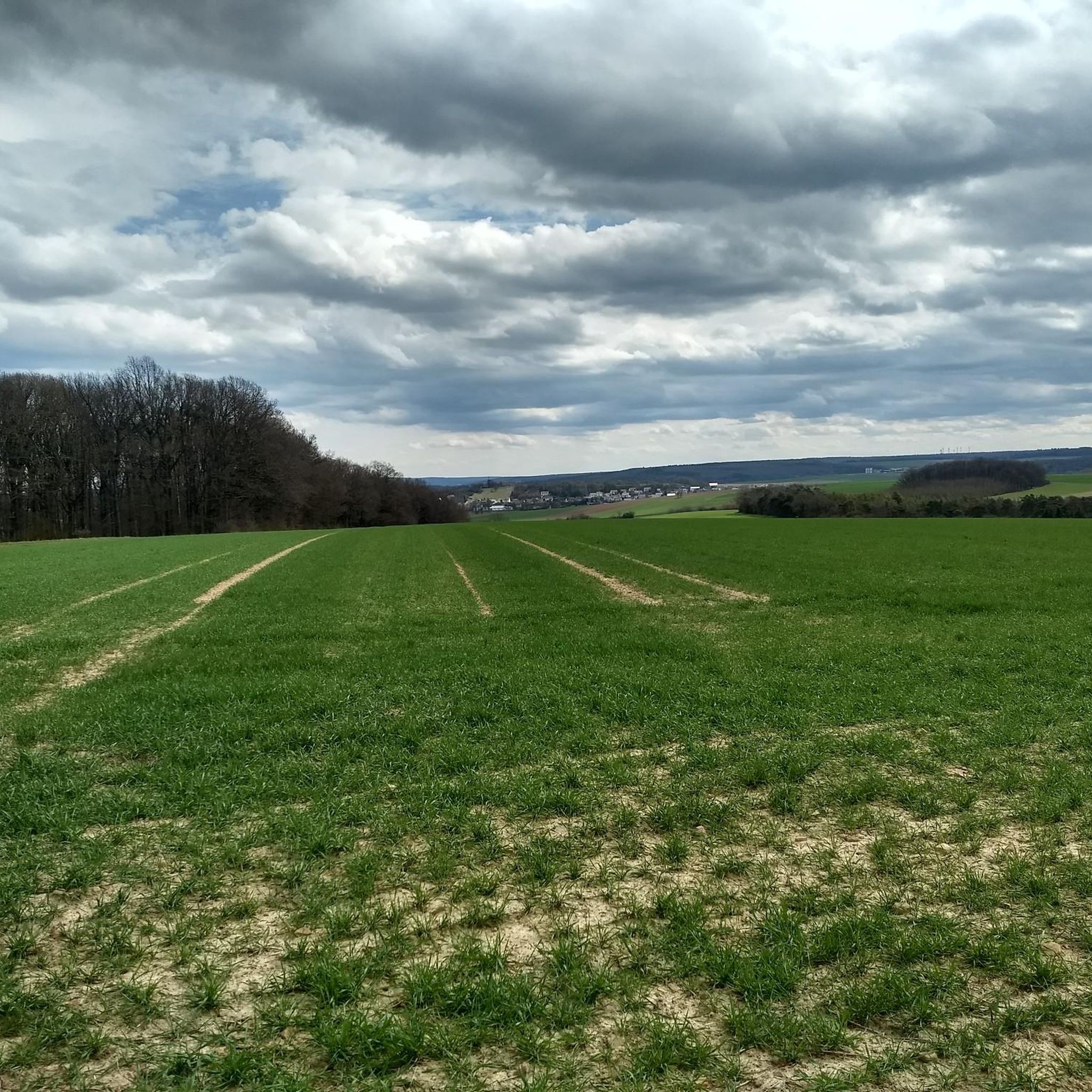
In the middle of the Dammweg, there are two benches donated by the Fruit and Horticulture Association, with a view to the northwest into the Jeusinggrund and a view to the southeast towards the village of Zell. Occasionally, cows graze here, giving it a bit of an alpine feeling.
0
0

A very beautiful so-called court linden tree
1
0

A beautiful path leads all the way around Lower Franconia's largest lake. The lake is a great place for a break. You can grab a snack at the kiosk and, if the weather's nice, sit on the sandy beach.
0
0


It was inaugurated in 2004 and passed its first major test during the floods in January 2011.
0
0

Oll Oll Oll Oll Oll oll oll ä Pop Pop LOL Oll LOL LOL LOL LOL LOL Oll Oll p ö Oll Oll Mol Oll LL LL LL LOL komm l p
0
2

Very beautiful castle on the hillside.
4
0
I love rest areas like this.
5
0
Frequently Asked Questions
What kind of terrain can I expect on road cycling routes around Thundorf in Unterfranken?
The region offers diverse landscapes, from rolling hills and extensive forests to tranquil river valleys. Many routes are on mostly paved surfaces, making them suitable for road cycling. You'll find a mix of moderate paths and more challenging climbs, especially in the broader Franconian region.
Are there road cycling routes suitable for beginners or families in Thundorf in Unterfranken?
Yes, there are routes suitable for varying fitness levels. While some routes feature significant elevation gains, others, like the "Baunachsee – Beer Garden at Sulzfeld Bathing Lake loop from Thundorf in Unterfranken," are mostly paved and offer a more leisurely experience. The region's river valleys also provide flatter sections ideal for families or those seeking an easier ride.
What scenic viewpoints or natural attractions can I discover while road cycling in the area?
You can enjoy numerous scenic spots. The Lower Dam Area of Ellertshäuser Lake offers great views of the largest reservoir in Lower Franconia. The Ellertshäuser Lake itself is a popular recreational area. The region also provides access to the scenic Steigerwald Forest, and routes often wind through vast meadows and along rivers like the Franconian Saale.
Are there any historical landmarks or cultural sites along the road cycling routes?
Absolutely. Thundorf in Unterfranken boasts historical landmarks such as the Wasserschloss (water castle) with its distinctive onion domes. You can also visit the Talkirche (Pilgrimage Church of the Holy Cross) in the Rannunger Valley near Münnerstadt, a beautiful baroque church. The Münnerstadt Market Square is another historical site worth exploring.
What is the best time of year for road cycling in Thundorf in Unterfranken?
The region is generally pleasant for cycling throughout the warmer months. Spring and autumn offer comfortable temperatures and beautiful scenery, with lush greenery or vibrant fall colors. Summer is also suitable, though it can be warmer. Winter cycling might be possible on cleared roads, but conditions can be less predictable.
Are there challenging road cycling routes for experienced riders?
Yes, experienced riders will find plenty of challenges. Routes like the Maria Bildhausen Monastery – Historic centre of Fladungen loop from Seubrigshausen cover over 100 km with significant elevation gain, traversing varied terrain. The broader Franconian region is known for its challenging climbs in the mountain ranges, ideal for very fit cyclists.
Where can I find parking for my car when starting a road cycling route?
While specific parking spots vary by route start point, many villages and towns in the region, including Thundorf in Unterfranken, offer public parking facilities. It's advisable to check the starting point of your chosen route on komoot for specific parking recommendations or look for designated parking areas in nearby towns like Stadtlauringen or Seubrigshausen.
Can I access road cycling routes using public transport with my bike?
Public transport options with bike carriage can vary. Regional trains in Franconia often allow bikes, though there might be restrictions during peak hours or a small fee. It's best to check the specific public transport provider's rules and schedules for the Thundorf in Unterfranken area before planning your trip.
Are there any cafes or pubs suitable for cyclists in the Thundorf in Unterfranken area?
Yes, you'll find places to refuel. The Beer Garden at Sulzfeld Bathing Lake is a popular spot. Many villages and towns throughout Franconia have traditional pubs (Gasthäuser) and cafes where cyclists are welcome to stop for a break and refreshments.
What do other road cyclists enjoy most about road cycling in Thundorf in Unterfranken?
The area is highly rated by the komoot community, with an average score of 4.5 stars from over 190 reviews. Cyclists often praise the diverse terrain, which includes rolling hills, dense forests, and picturesque river valleys, offering a variety of experiences from leisurely rides to challenging ascents. The well-maintained routes and scenic views are frequently highlighted.
Are there any circular road cycling routes available?
Yes, many of the road cycling routes in the region are designed as loops, allowing you to start and end in the same location. For example, the Max Bridge, Schweinfurt – Old Town Hall loop from Stadtlauringen is a popular circular route, as is the Sulzfelder Lake – Grabfeldblick Viewing Platform loop from Stadtlauringen.
Do I need any special permits for road cycling in Unterfranken?
Generally, no special permits are required for road cycling on public roads and designated cycle paths in Unterfranken. However, always respect local regulations, especially when cycling through nature reserves or private land, and ensure you adhere to traffic laws.
Most popular routes around Thundorf in Unterfranken
Most popular attractions around Thundorf in Unterfranken

Get inspired with the komoot mobile app


Explore more
Browse the best Road cycling routes in other regions.
