The best mountain hikes around San Giovanni Bianco
4.6
(18)
154
hikers
1
hike
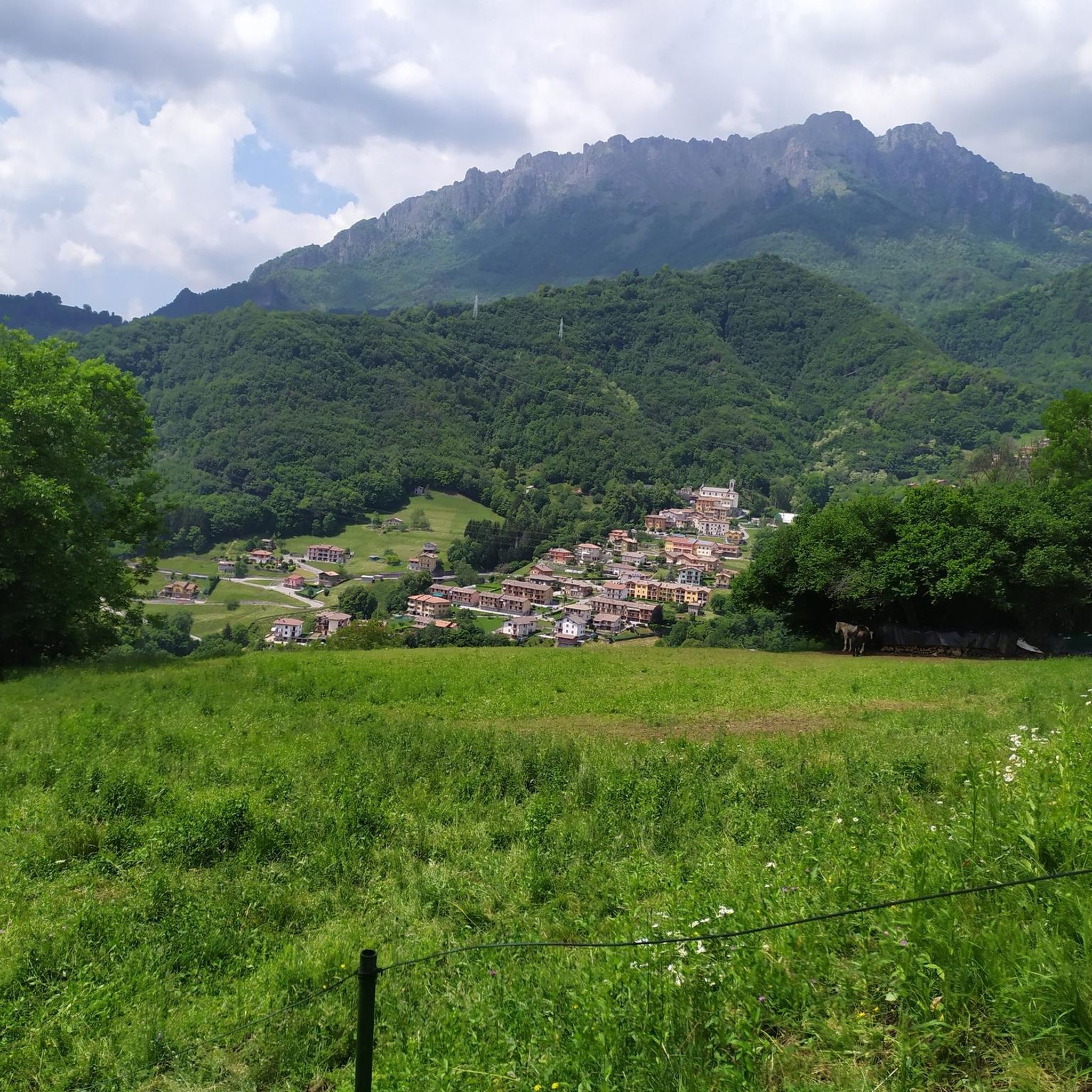
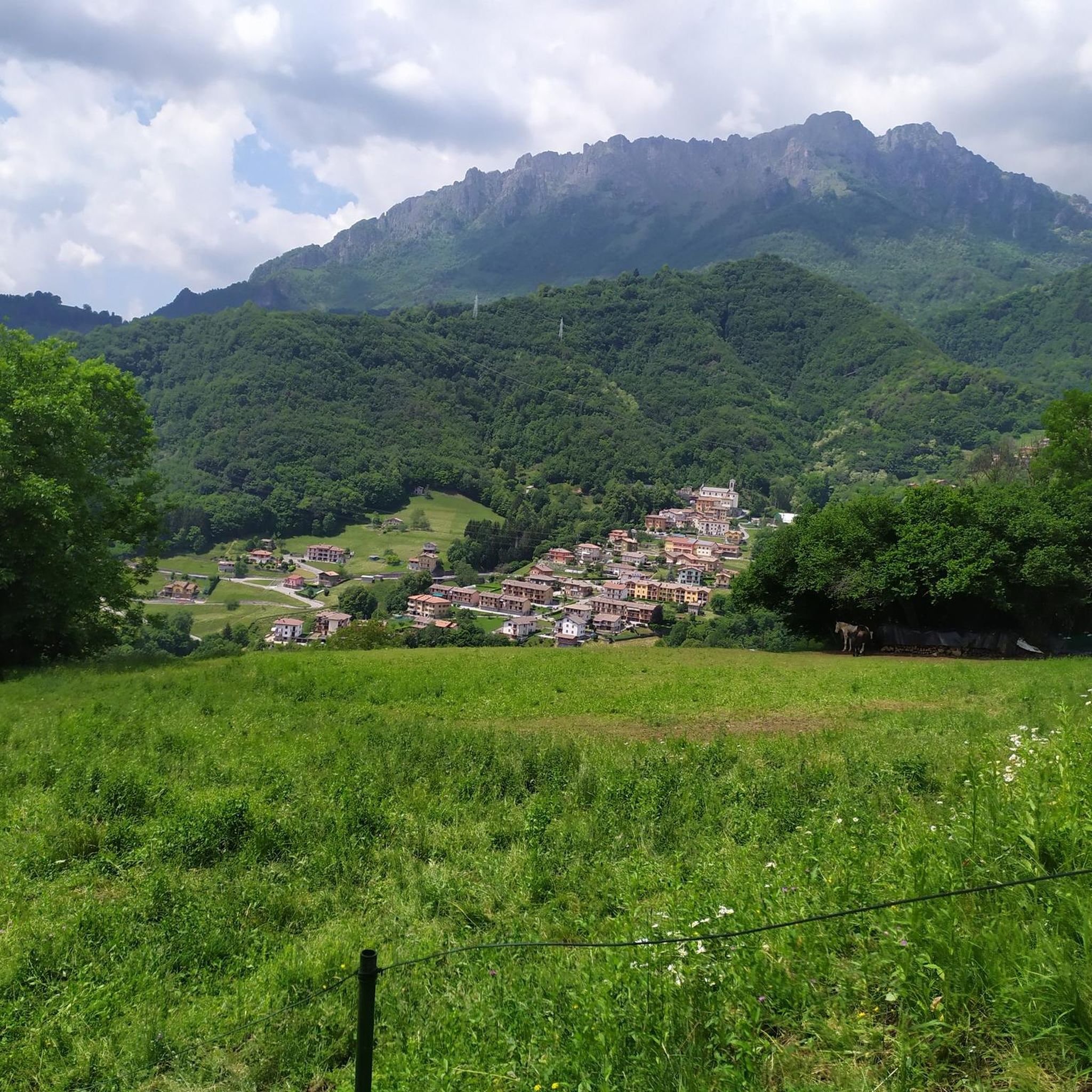
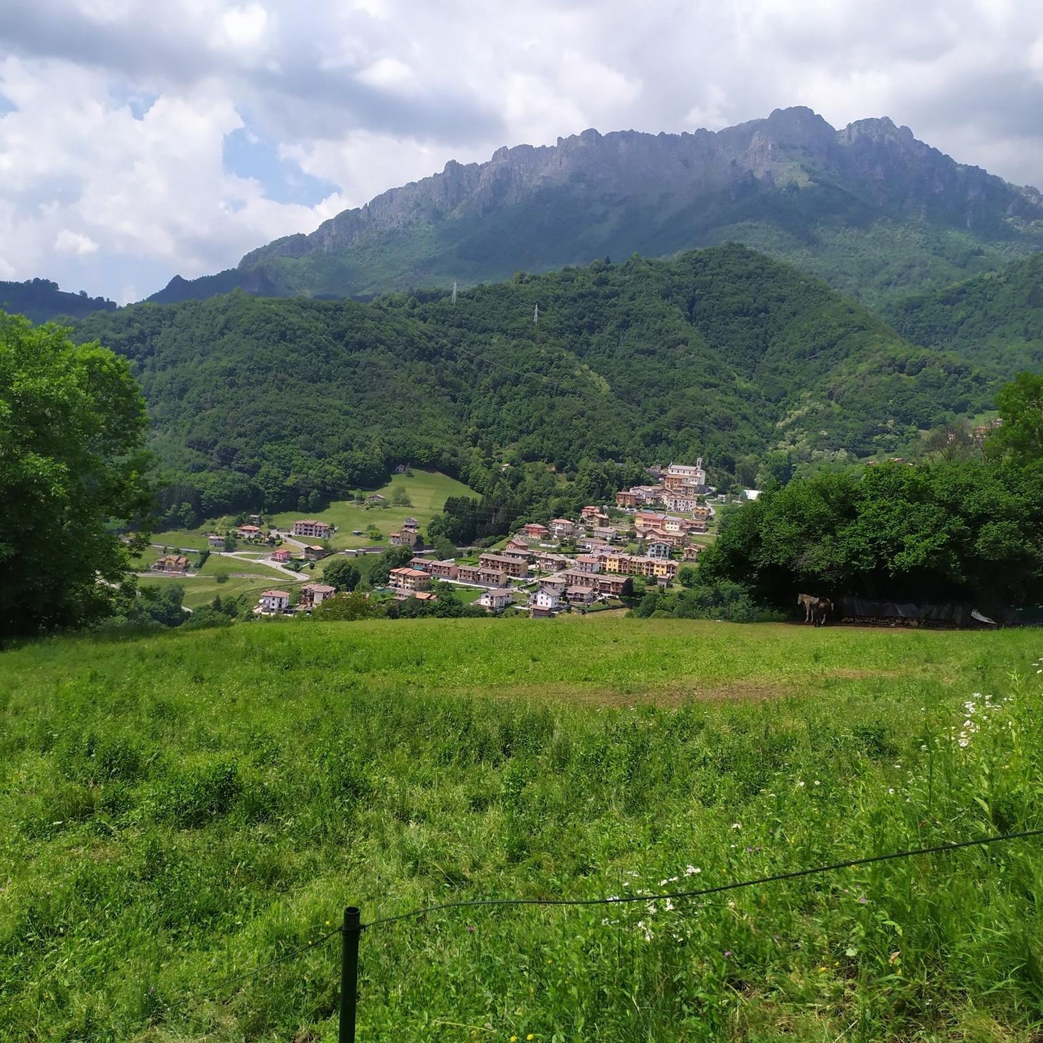
Mountaineering routes around San Giovanni Bianco are situated in Italy's Val Brembana, at the gateway to the rugged Orobie Alps. This region is characterized by alpine meadows, dense forests, and a network of peaks and passes, including Monte Cancervo and Monte Venturosa. The landscape features varied terrain, from river valleys to high mountain environments, offering diverse challenges for mountaineers.
Best mountaineering routes around San Giovanni Bianco
- The most popular mountaineering route is Capanna 2000 Mountain Hut loop from Zambla Bassa…
Last updated: October 8, 2026
4.5
(8)
61
hikers
10.7km
06:52
1,270m
1,270m
Hard mountaineering route. Very good fitness required. Sure-footedness, sturdy shoes and alpine experience required.
5.0
(1)
19
hikers
7.69km
03:29
660m
660m
Moderate mountaineering route. Good fitness required. Mostly accessible paths. Sure-footedness required.

4.5
(2)
29
hikers
5.42km
02:25
290m
290m
Hard mountaineering route. Good fitness required. Sure-footedness, sturdy shoes and alpine experience required.
6
hikers
Hard mountaineering route. Very good fitness required. Sure-footedness, sturdy shoes and alpine experience required.
4.5
(2)
7
hikers
15.5km
07:56
1,310m
1,310m
Hard mountaineering route. Very good fitness required. Sure-footedness, sturdy shoes and alpine experience required.
Our route recommendations are based on thousands of hikes, rides, and runs completed by other people on komoot.
Start today with a free account
Your next adventure awaits.

Tips from the Community

On the summit of Pizzo Arera there is a cast iron cross that stands out against the fantastic panorama of the Orobie.
0
0

departure point for excursions, the most popular being the flower trail. Be careful to display the ticket that can be purchased at the start of the climb.
0
0

very nice trekking, from Capanna 2000 you go up to the summit cross, a route that is not impossible but not suitable for everyone.
0
1

via ferrata not too difficult but not too obvious either, certainly have the equipment before tackling it.
0
0

As of today (2025) only the remains remain
0
0

Excellent starting point for numerous trips in the area.
0
0

Wonderful area nestled between the rocky peaks of the surrounding peaks, in particular the Arera and the Corna Piana. The area is mainly rocky, easy to reach even if it requires a minimum of training. The most fascinating aspect is the landscape, you find yourself in a very natural and at times wild environment, where you also have to pay attention to small ravines which are often not immediately visible but equally dangerous! Especially in the presence of snow which masks them further.
0
0

Attack of the North canal of Pizzo Arera, in the Mandrone Valley.
0
0
Frequently Asked Questions
How many mountaineering routes are available around San Giovanni Bianco?
There are 5 dedicated mountaineering routes around San Giovanni Bianco listed on komoot, all rated as moderate to difficult. These routes offer diverse challenges within the Val Brembana and Bergamasque Alps.
Are there any circular mountaineering routes in the area?
Yes, several mountaineering routes around San Giovanni Bianco are circular. For example, the Capanna 2000 Mountain Hut loop from Zambla Bassa is a moderate 8.5 km route, and the Monte Alben Summit – Rifugio Monte Alben loop from Cornalba offers a more difficult 12.5 km challenge.
What kind of landscapes can I expect on mountaineering routes near San Giovanni Bianco?
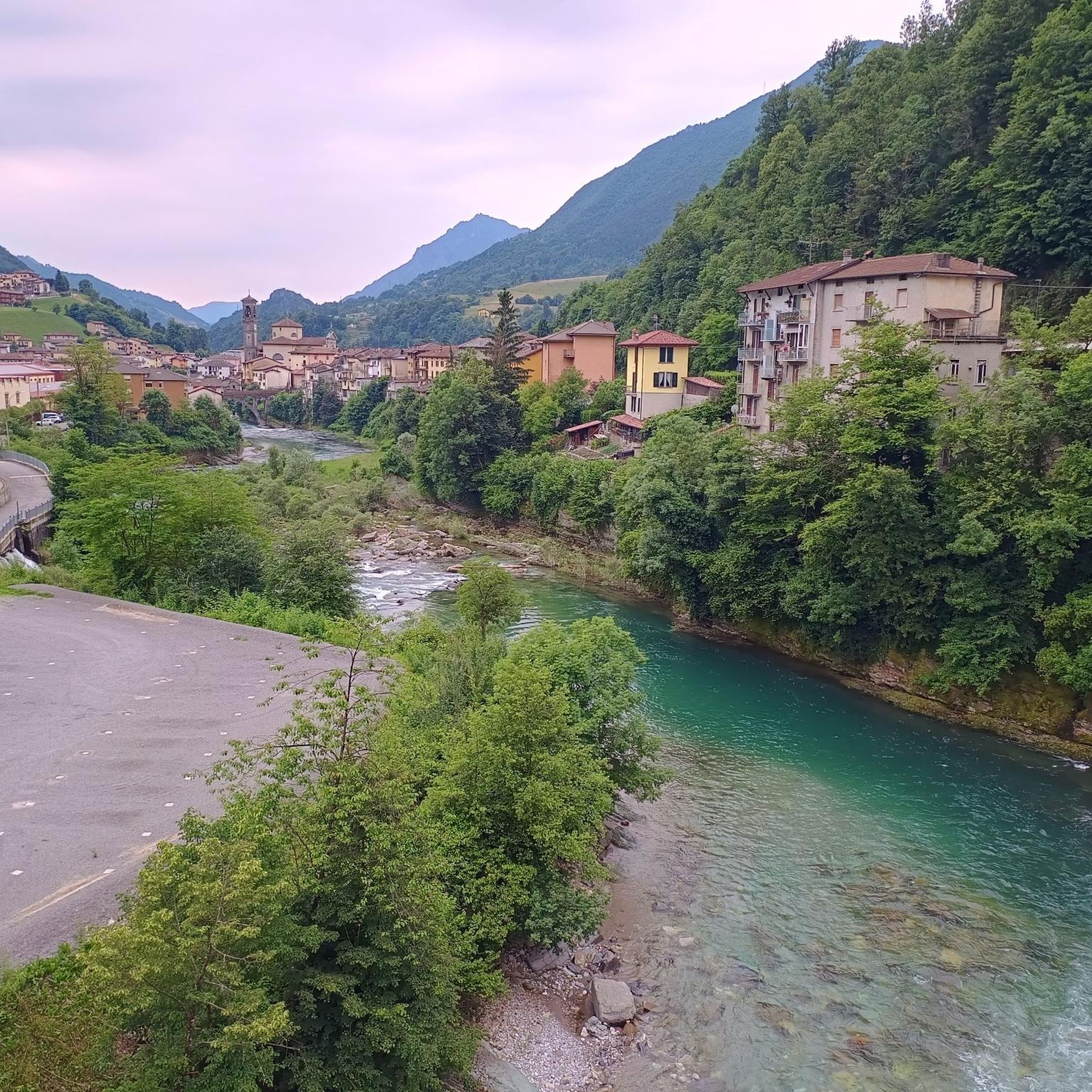
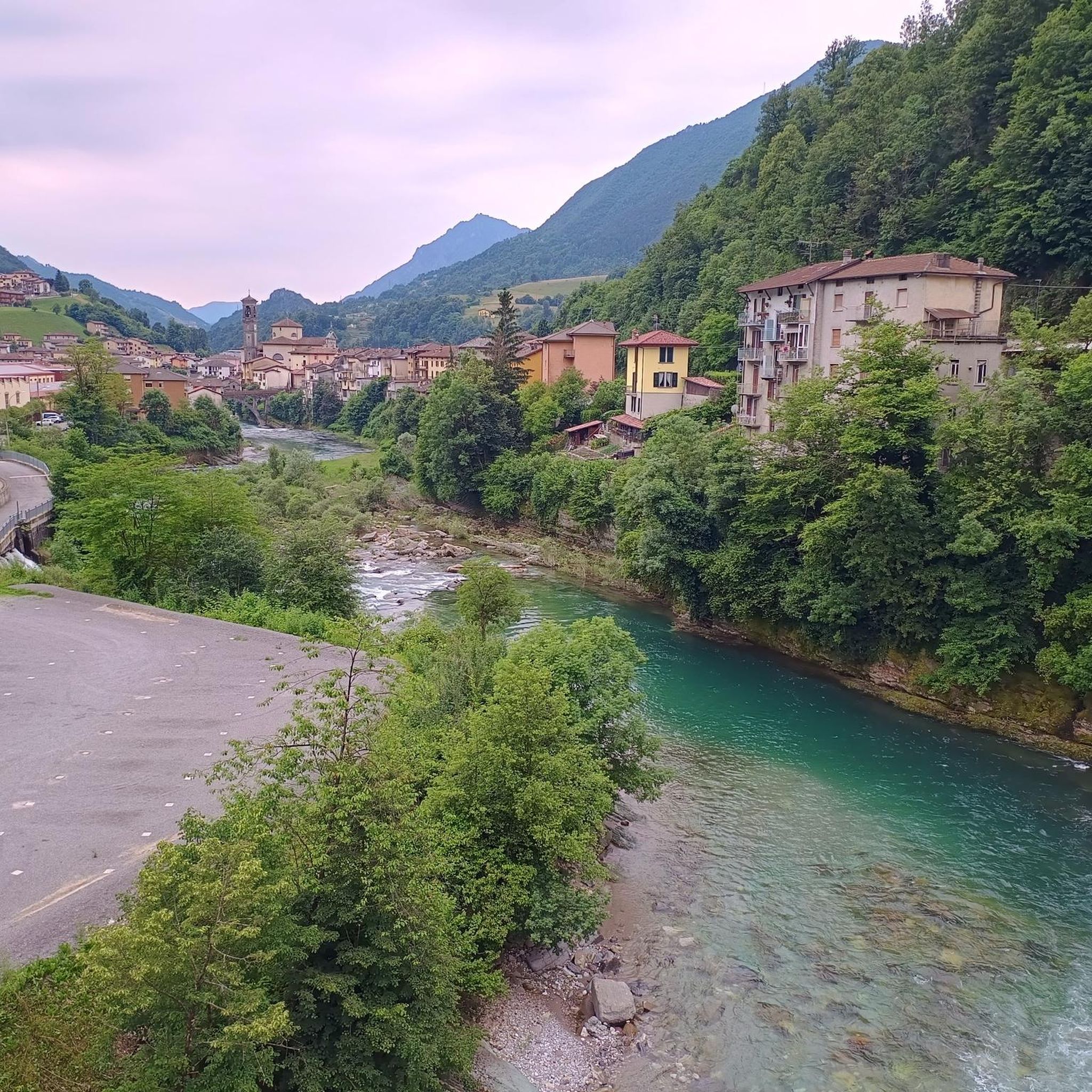
Mountaineering routes in this region traverse a variety of landscapes, from lush alpine meadows and dense forests to rugged mountain terrain within the Bergamasque Alps. You'll encounter river valleys, such as the Brembo, and high mountain environments offering panoramic views.
Are there any mountain huts or refuges accessible on these routes?
Yes, mountain huts are a feature of the area. The Capanna 2000 Mountain Hut loop from Zambla Bassa leads to the prominent Capanna 2000 Hut. Other notable huts in the vicinity include the Nicola Hut and Gherardi Hut, providing potential stops for longer treks.
What are some notable landmarks or viewpoints along the mountaineering trails?
Beyond the summits themselves, you can find points of interest like the Artavaggio Plateau, which offers expansive views. The region is also known for its picturesque Val Brembana and the historic Ponte Vecchio over the Brembo River in San Giovanni Bianco.
What is the difficulty level of mountaineering routes in San Giovanni Bianco?
The mountaineering routes around San Giovanni Bianco are generally rated as moderate to difficult. They often involve significant ascents and exposed mountain terrain, requiring good fitness and sure-footedness. For example, the Start of Ferrata San Nicolò loop from San Pellegrino Terme is rated difficult.
Is there a route that offers a significant summit experience?
For a challenging summit experience, consider the Monte Alben Summit – Rifugio Monte Alben loop from Cornalba. This difficult 12.5 km route involves a substantial ascent to the Monte Alben summit, providing panoramic views of the surrounding Orobie Alps.
What do other mountaineers say about the routes in San Giovanni Bianco?
The mountaineering routes in San Giovanni Bianco are highly regarded by the komoot community, with an average rating of 4.8 stars from over 20 reviews. Users often praise the rugged beauty of the Bergamasque Alps and the well-maintained trail networks.
Are there any routes that pass through the Parco delle Orobie Bergamasche?
San Giovanni Bianco is situated near the vast Parco delle Orobie Bergamasche, which offers numerous well-marked trails. While specific routes listed here might not be entirely within the park, the region's trails provide access to its stunning landscapes, including rugged mountains and alpine meadows.
Can I find routes that are suitable for a full day of mountaineering?
Yes, several routes are suitable for a full day. The Cima di Menna loop from Oltre il Colle is a difficult 10.2 km route that typically takes around 6 hours and 46 minutes, offering a substantial day out in the mountains.
Are there any natural monuments or unique natural features to see?
Beyond the general alpine scenery, you can find unique natural features such as The Three Beeches of Fuipiano Imagna, a notable natural monument in the broader area, which can be explored in conjunction with some routes.
Most popular routes around San Giovanni Bianco
Most popular attractions around San Giovanni Bianco

Get inspired with the komoot mobile app


Explore more
Browse the best Mountain Hikes & Routes in other regions.
