The best walks and hikes around Castello Dell'Acqua
4.4
(2085)
16,186
hikers
379
hikes
Hiking around Castello Dell'Acqua, located on the Orobic slope of Mid-Valtellina, offers diverse landscapes for outdoor enthusiasts. The region is characterized by mountainous terrain and pristine valleys, set at the foot of prominent peaks like Pizzo Coca and Pizzo del Diavolo. A dense network of paths caters to various skill levels, ranging from easy strolls to challenging alpine expeditions. This area features significant natural elements such as the Barbellino Reservoir and the ancient glacial peat bog of Pian di Gembro…
Last updated: May 10, 2026
4.7
(3)
10
hikers
10.2km
03:12
390m
390m
Moderate hike. Good fitness required. Easily-accessible paths. Suitable for all skill levels.
5.0
(1)
13
hikers
9.96km
04:51
970m
970m
Hard hike. Very good fitness required. Mostly accessible paths. Sure-footedness required.

Sign up for free
2
hikers
20.9km
09:40
1,730m
1,730m
Hard hike. Very good fitness required. Sure-footedness, sturdy shoes and alpine experience required.
7
hikers
8.09km
03:01
560m
560m
Moderate hike. Good fitness required. Easily-accessible paths. Suitable for all skill levels.
3.0
(1)
7
hikers
12.6km
05:30
1,070m
1,070m
Hard hike. Very good fitness required. Sure-footedness, sturdy shoes and alpine experience required.
Get access to more routes and recommendations from other explorers.
Sign up for free
Already have an account?
Our route recommendations are based on thousands of hikes, rides, and runs completed by other people on komoot.
Start today with a free account
Your next adventure awaits.
Login or Signup
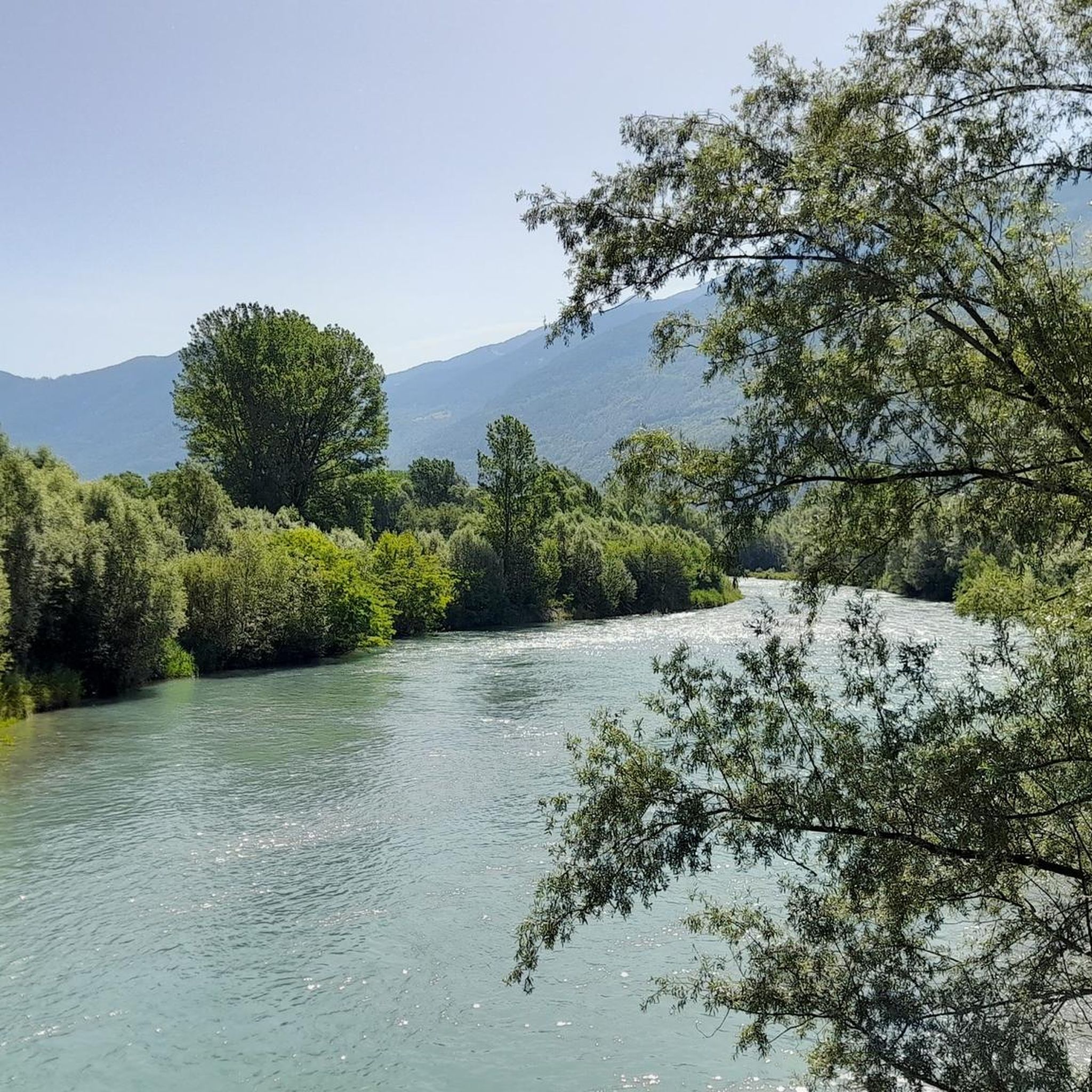
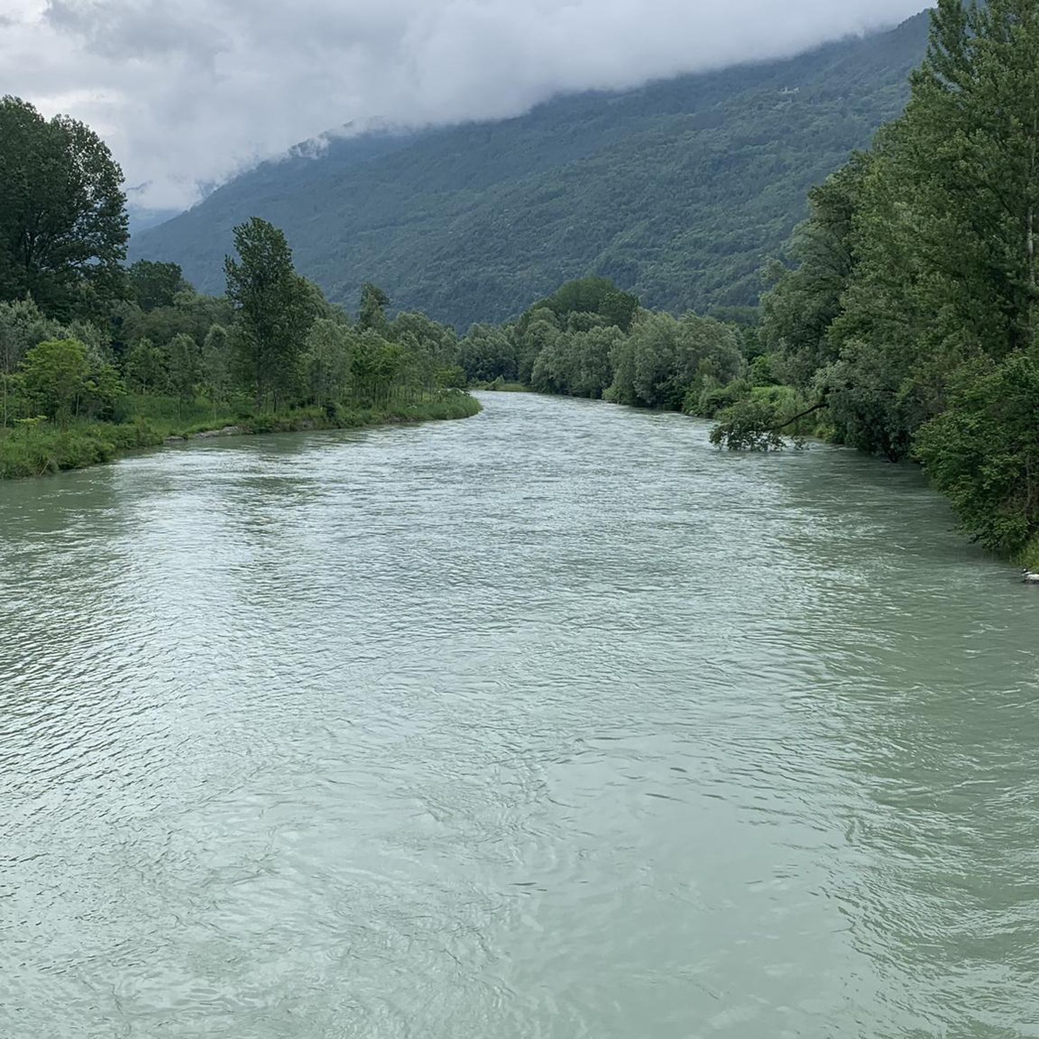
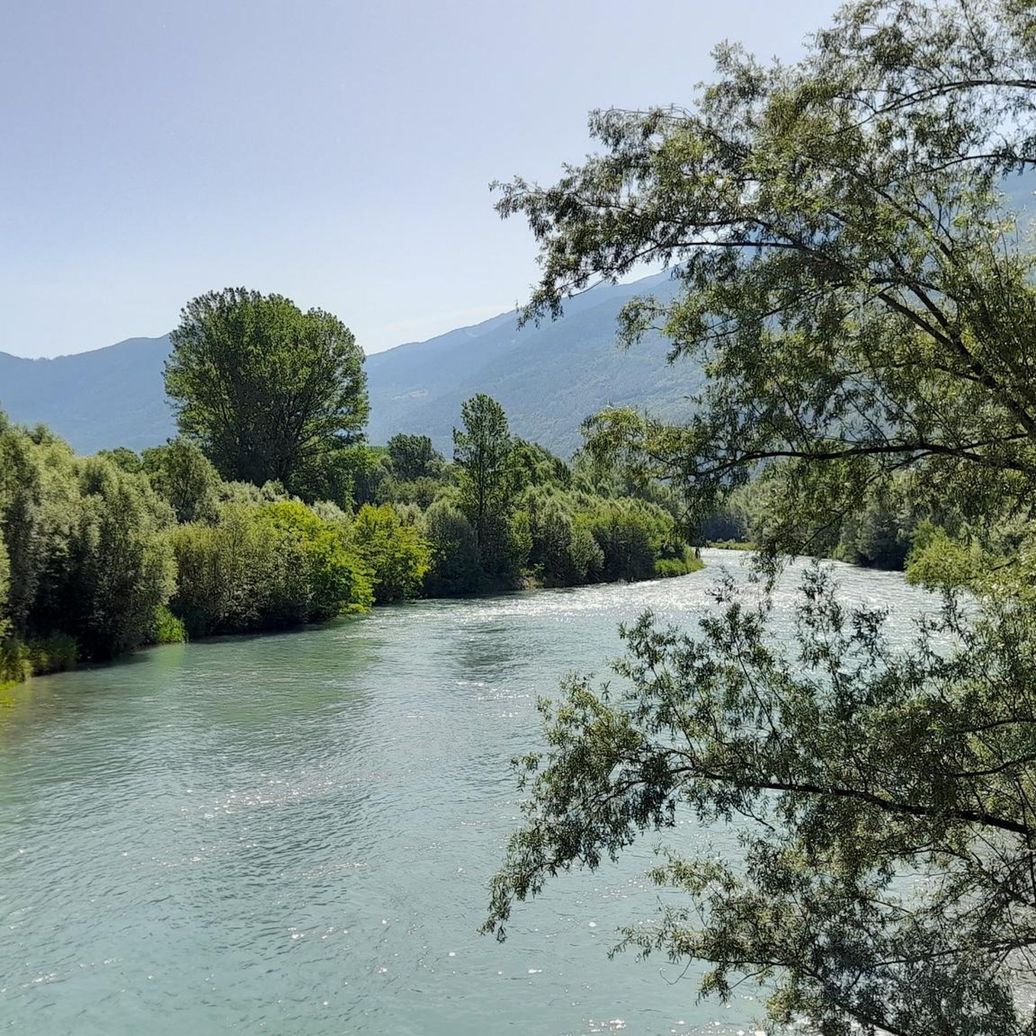
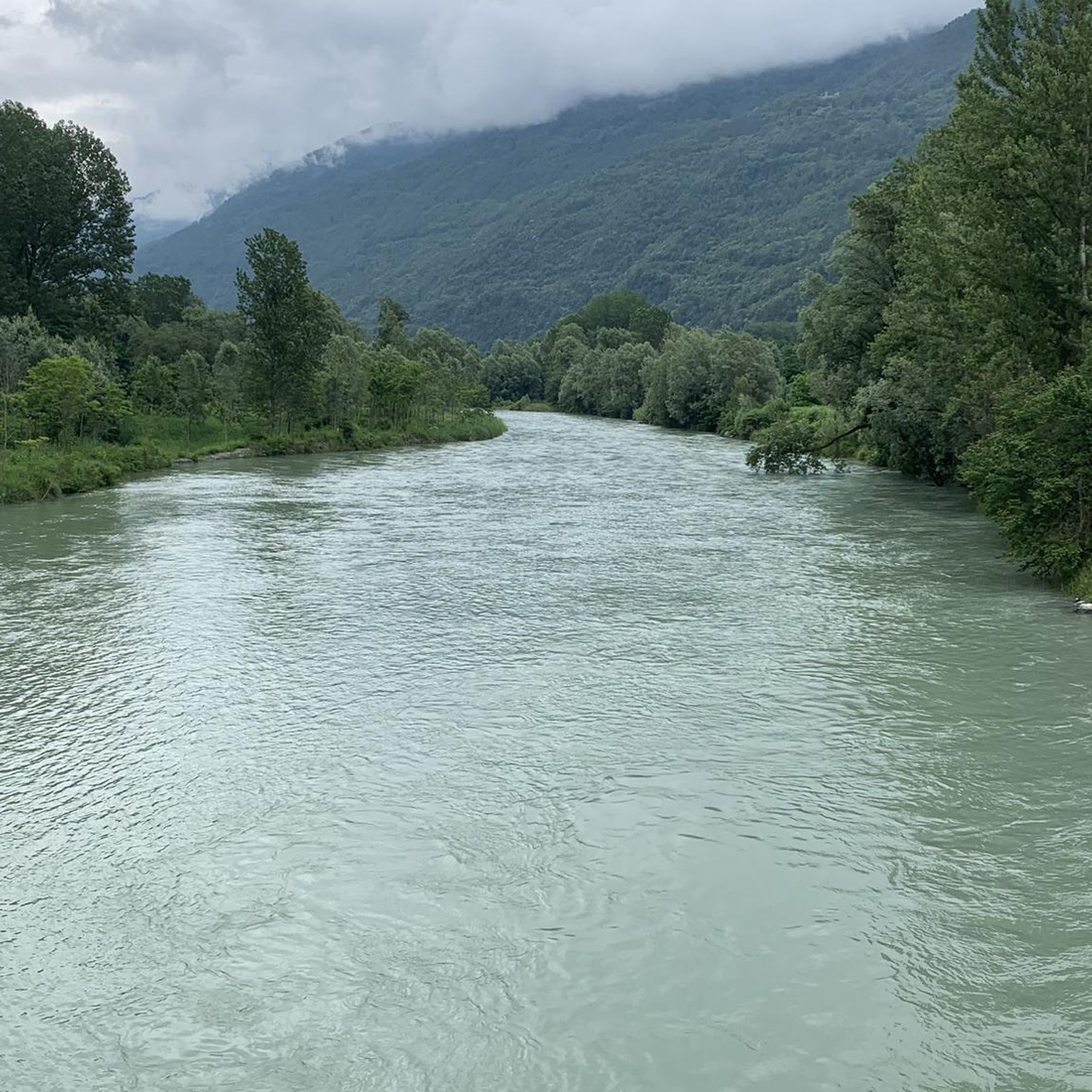


Tips from the Community


Castello dell'Acqua is located between the Arigna Valley and the Malgina Valley. Various hiking itineraries start from here.
2
0

The refuge is located on a mountain pasture that offers a splendid panorama and is located on the high side of the Orobie Valtellinesi. The Gino and Massimo refuge has been renovated and used as a refuge with an adjoining small bivouac since 2013.
0
0
Located in Val d'Arigna in the Orobie Valtellinesi, Lake Santo Stefano di Mezzo is an artificial basin (like the lower one, while the upper one is natural).
1
0
Bettoli is a large rural nucleus. Today only 34 people live there and many houses are now overgrown and almost completely ruined.
1
0
Briotti is a small village in the Orobie Valtellinesi Park from which several treks start.
1
0
Frequently Asked Questions
How many hiking trails are available around Castello Dell'Acqua?
There are nearly 400 hiking routes in the Castello Dell'Acqua region, catering to various skill levels. This includes 69 easy, 170 moderate, and 135 difficult trails, ensuring options for everyone from casual walkers to experienced mountaineers.
What kind of landscapes can I expect to see while hiking in Castello Dell'Acqua?
The region around Castello Dell'Acqua is characterized by diverse mountainous terrain and pristine valleys. You'll find dramatic backdrops with prominent peaks like Pizzo Coca and Pizzo del Diavolo, as well as significant water bodies such as the Barbellino Reservoir. The area also features ancient glacial peat bogs in the Pian di Gembro Nature Reserve, offering unique flora.
Are there any easy, family-friendly hikes in Castello Dell'Acqua?
Yes, Castello Dell'Acqua offers 69 easy routes suitable for families. For a gentle stroll, consider the Briotti Decauville Loop, a moderate 10.2 km trail that follows a historic path with gentle gradients. The Pian di Gembro Nature Reserve also provides simple itineraries through its unique landscape.
What are some notable natural attractions or landmarks to see on hikes?
Hikers can explore several natural attractions. The Barbellino Reservoir, the largest artificial lake in the Orobie Mountains, is a prominent feature. You might also encounter the natural Barbellino lake with its famous 'Sword in the stone'. Other points of interest include Serio Falls and the unique flora of the Pian di Gembro Nature Reserve.
Are there any historical sites or cultural points of interest along the trails?
Yes, beyond its natural beauty, Castello Dell'Acqua has cultural and historical sites. The Torre dei Dell'Acqua, a remnant of a medieval castle, offers panoramic views. The Parish church of Saint Michael, dating back to 1427, and traditional sites like the Cavallari Smithy provide glimpses into the area's rich heritage.
What is the best time of year to go hiking in Castello Dell'Acqua?
The best time to hike in Castello Dell'Acqua generally depends on your preferred activity. While many trails are accessible in warmer months, the region's mountainous terrain means some higher-altitude routes are best enjoyed from late spring to early autumn. The Monte Sasna Summit, for example, offers an itinerary suitable even in winter for those prepared for snow conditions.
Are there any circular hiking routes available?
Yes, many routes in Castello Dell'Acqua are designed as loops. An example is the challenging From Cà Pizzini to Rifugio baita Pesciola – loop tour, which ascends through mountainous terrain. Another option is the moderate From Castello dell'Acqua to Alpe Piazzola – loop tour, offering a scenic 8.1 km journey.
What do other hikers say about the trails in Castello Dell'Acqua?
The hiking routes in Castello Dell'Acqua are highly regarded by the komoot community, with an average rating of 4.4 stars from over 2,100 reviews. Hikers often praise the diverse terrain, from gentle paths to challenging alpine ascents, and the breathtaking panoramic views of the Orobic Alps and pristine valleys.
Are there any challenging multi-day hikes or alpine expeditions?
Yes, the region offers challenging alpine expeditions for experienced hikers. The Orobie Path, for instance, has its highest point at the Ol Simal fork (2,712 meters), providing access to various refuges. Routes like the From Briotti to the Donati refuge for the Laghi di Santo Stefano – loop tour, a 20.9 km difficult trail, are examples of longer, more demanding adventures.
Can I find trails that lead to mountain refuges?
Absolutely. Many of the more challenging routes in Castello Dell'Acqua lead to mountain refuges, offering opportunities for rest or overnight stays. The From Cà Pizzini to Rifugio baita Pesciola – loop tour is a difficult trail that ascends directly to a refuge, providing stunning alpine scenery.
Are there any hikes that feature lakes or water bodies?
Yes, the region is rich in water bodies. You can hike to the Barbellino Reservoir, the largest artificial lake in the Orobie Mountains. The From Briotti to Lake Santo Stefano and to Rifugio Gironi – loop is another excellent option, taking you past the beautiful Laghi di Santo Stefano.
What is the elevation gain like on trails around Castello Dell'Acqua?
Elevation gain varies significantly depending on the trail's difficulty. Easy routes may have minimal gain, while difficult trails can involve substantial ascents. For example, the challenging From Briotti to the Donati refuge for the Laghi di Santo Stefano – loop tour features an elevation gain of over 1,700 meters, typical for alpine expeditions in the area.
Most popular routes around Castello Dell'Acqua
Most popular attractions around Castello Dell'Acqua

Get inspired with the komoot mobile app


Explore more
Browse the best Hikes in other regions.
