The best mountain hikes around Chiesa In Valmalenco
4.9
(16)
155
hikers
11
hikes
Mountaineering routes around Chiesa In Valmalenco are situated in the Rhaetian Alps, characterized by imposing peaks such as Pizzo Bernina (4,048 m) and Monte Disgrazia (3,678 m). The landscape features vast glaciers, including Scerscen, Fellaria, and Ventina, alongside pristine alpine lakes and lush forests. This diverse terrain offers a range of challenges for mountaineers.
Best mountaineering routes around Chiesa In Valmalenco
- The most popular mountaineering route is Cesare Ponti Hut – Monte Disgrazia (3,678 m) loop from Parcheggio Preda Rossa, a 10.1 miles (16.3 km) trail that takes about 11 hours 40 minutes to complete. This route offers a challenging ascent to Monte Disgrazia.
- Another top favourite among local mountaineers is View of Fellaria Glacier – Alpe Gembrè, 2217m loop from Campo Moro, a difficult 10.7 miles (17.3 km) path. This route provides expansive views of the Fellaria Glacier.
- Local mountaineers also love the Rifugio Marco e Rosa – Piz Bernina loop from Piz Bernina, a 1.5 miles (2.4 km) trail leading through high alpine terrain towards Piz Bernina, often completed in about 3 hours 44 minutes.
- Mountaineering around Chiesa In Valmalenco is defined by majestic peaks, vast glaciers, and alpine lakes. The network offers options for experienced mountaineers seeking challenging high-altitude ascents.
- The routes in Chiesa In Valmalenco are highly rated by the komoot community with an average score of 4.8 stars from more than 20 reviews. More than 200 mountaineers have used komoot to explore Chiesa In Valmalenco's varied terrain.
Last updated: July 4, 2026
4.7
(3)
26
hikers
17.1km
07:43
1,030m
1,030m
Hard mountaineering route. Very good fitness required. Sure-footedness, sturdy shoes and alpine experience required.
5.0
(2)
23
hikers
16.3km
11:41
1,590m
1,590m
Hard mountaineering route. Very good fitness required. Sure-footedness, sturdy shoes and alpine experience required.

Sign up for free
12
hikers
2.45km
03:44
390m
380m
Hard mountaineering route. Good fitness required. Sure-footedness, sturdy shoes and alpine experience required.
4.5
(2)
13
hikers
10.9km
05:18
790m
790m
Hard mountaineering route. Very good fitness required. Sure-footedness, sturdy shoes and alpine experience required.
11
hikers
8.92km
03:57
610m
610m
Hard mountaineering route. Good fitness required. Sure-footedness, sturdy shoes and alpine experience required.
Get access to more routes and recommendations from other explorers.
Sign up for free
Already have an account?
Our route recommendations are based on thousands of hikes, rides, and runs completed by other people on komoot.
Start today with a free account
Your next adventure awaits.
Login or Signup
Popular around Chiesa In Valmalenco
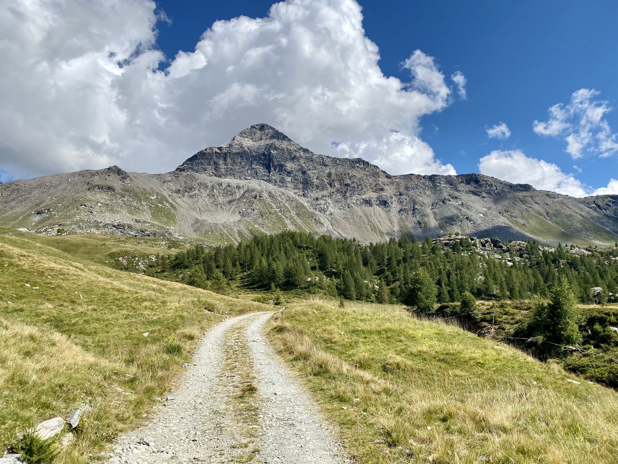
Between peaks and mountain pastures – Valmalenco by e-bike
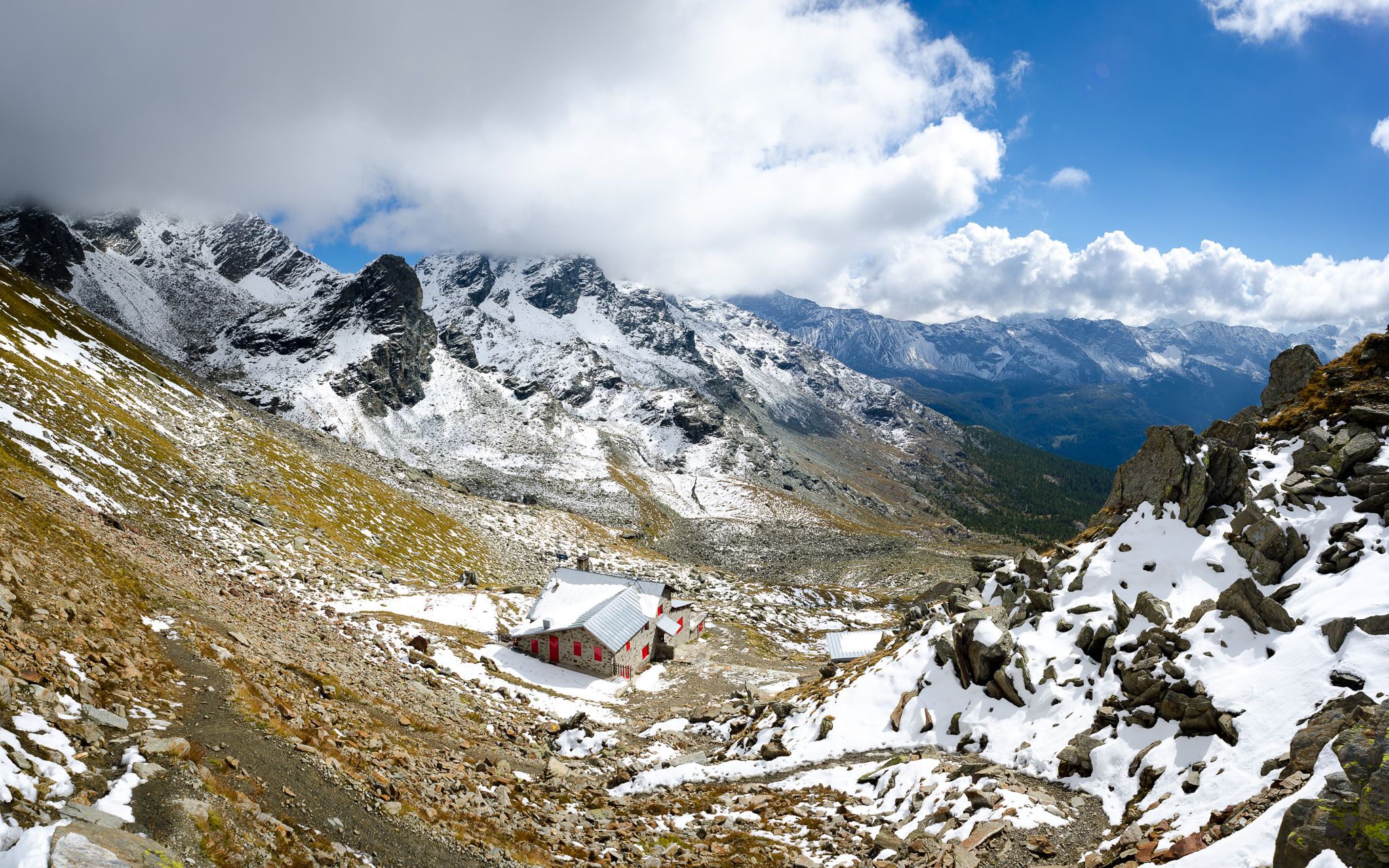
At the foot of the Bernina – Alta Via della Valmalenco
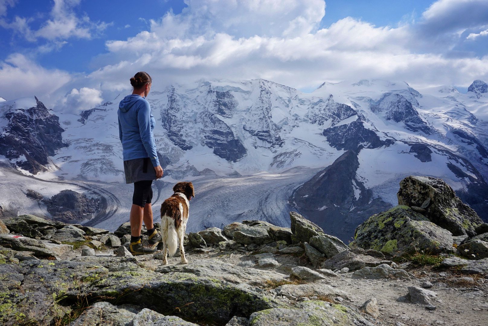
Bernina Tour – 8 days around the only 4,000er peak in the Eastern Alps
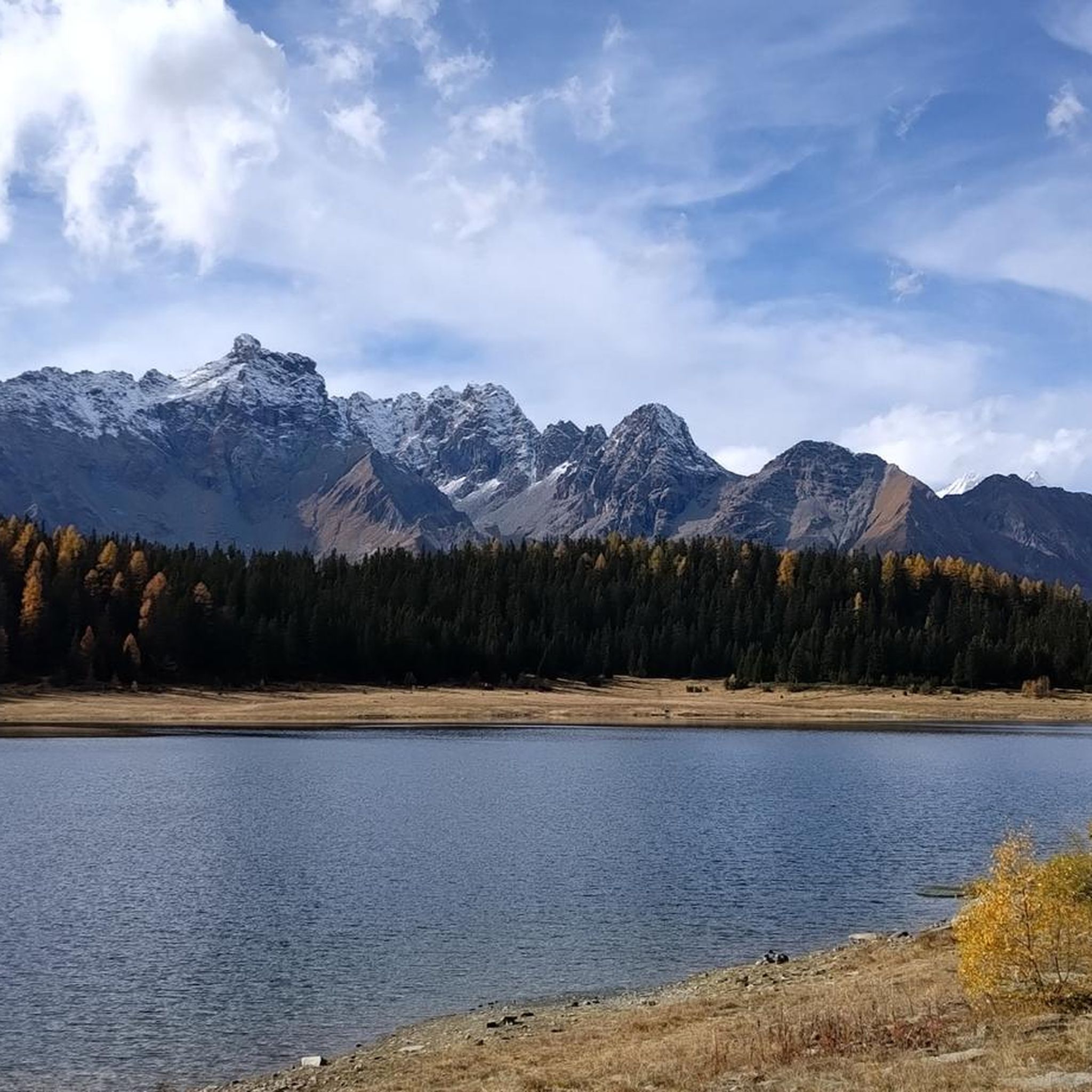
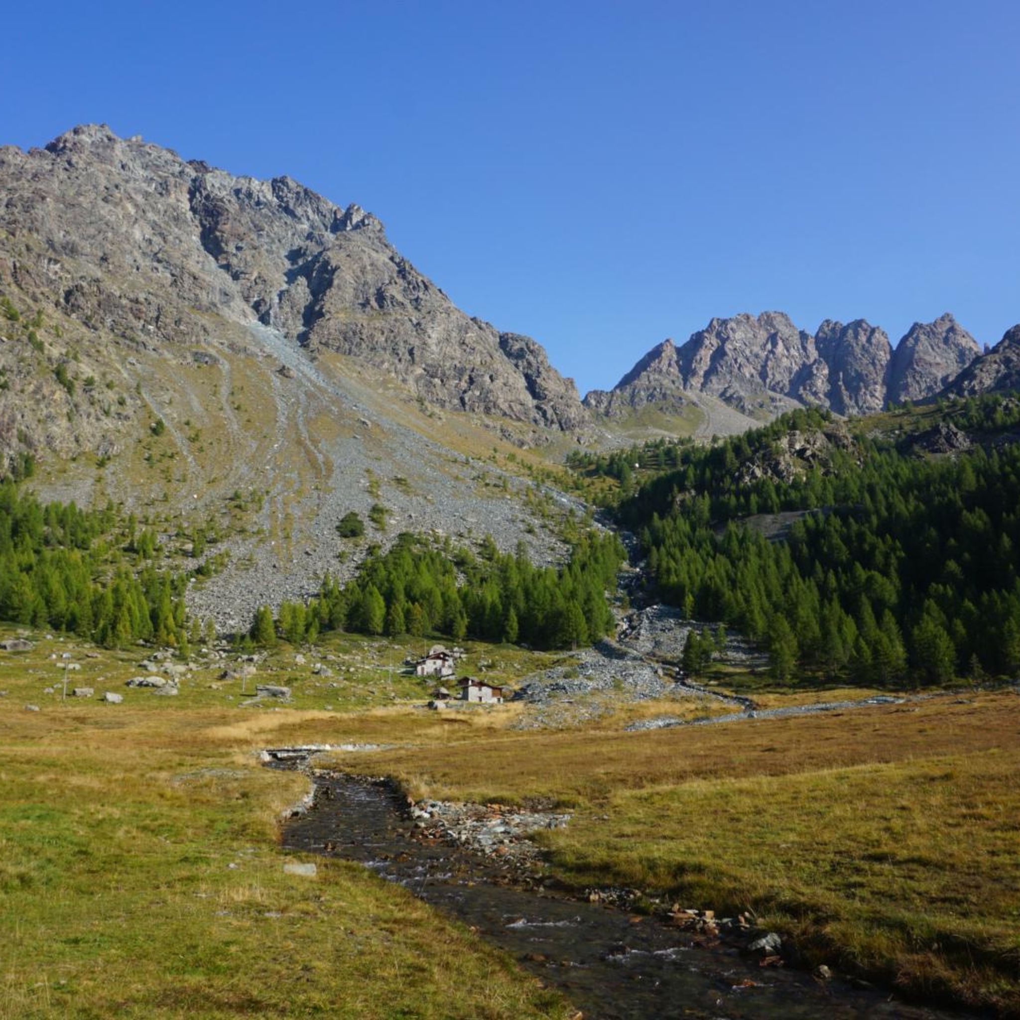
Hiking around Chiesa In Valmalenco
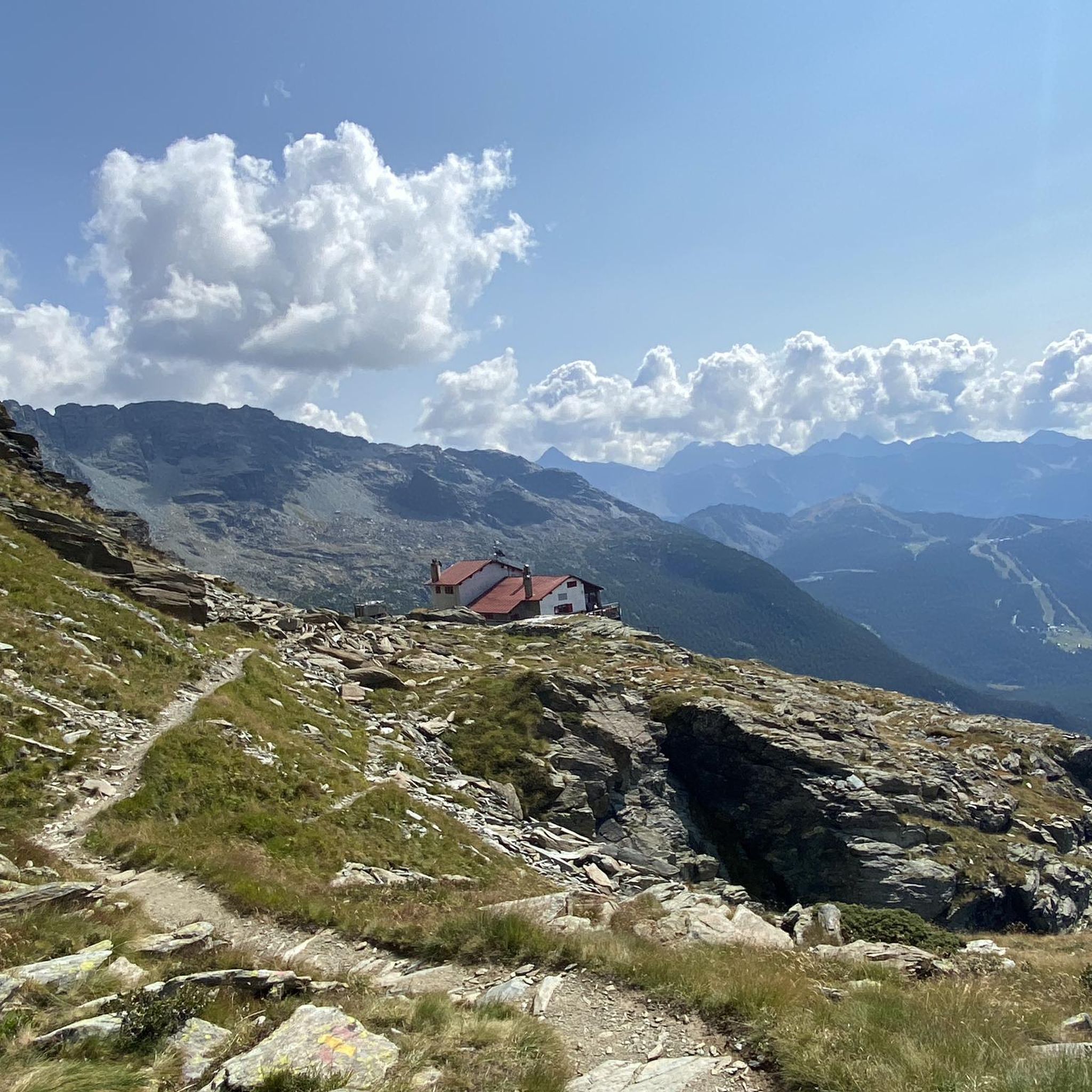
Cycling around Chiesa In Valmalenco
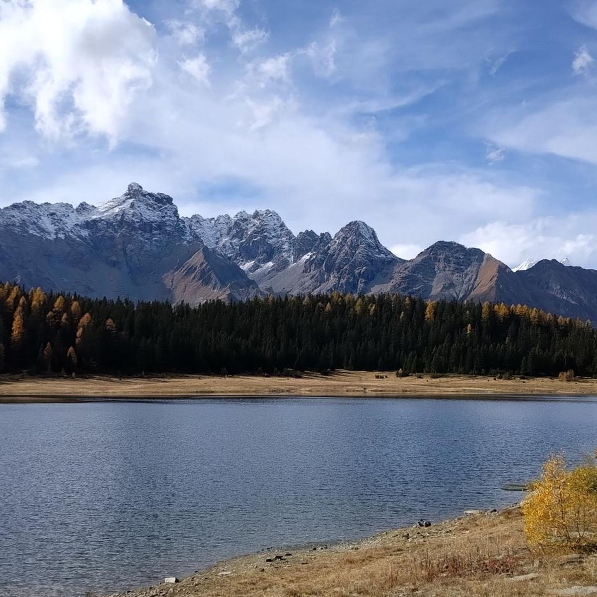
Running Trails around Chiesa In Valmalenco
MTB Trails around Chiesa In Valmalenco
Gravel biking around Chiesa In Valmalenco
Other adventures around Chiesa In Valmalenco


Tips from the Community

Small, very quiet alpine village near Chiesa in Valmalenco
0
0

A triple watershed is indeed something quite rare. Besides, it's simply wonderfully lonely and beautifuuuul up here
0
0

Summit reachable from Val Ventina or by taking the Ferrata Torrione Porro or from the normal path encountered on the route that leads from Val Ventina to Lago Pirola. The path, which should also be used for descent after the ferrata, has some steep sections with scree. At the top there is a votive altar and you can admire the 360° panorama that repays the climb.
0
0
Travel time approx. 50 minutes. Well-equipped route and ideal for approaching the discipline. Throughout the progression, you will have an abundance of stirrups and holds. The section from the signs on trail 321A to the start is not well marked, so pay attention and, if necessary, follow the stone cairns.
0
0

Scenically very great tour. Top Top Top
0
0
Scenically very great tour. Top Top Top
0
0
Lake Pirola is a picturesque artificial lake accessible from the Gerli-Porro Refuge along a trail that crosses scree slopes and stretches where the trail merges with the rocks (markings are present but not always visible; be careful). The lake is surrounded by Alpine scenery and can be skirted along a scenic trail.
0
0
Frequently Asked Questions
What kind of mountaineering routes can I find in Chiesa In Valmalenco?
Chiesa In Valmalenco offers a variety of challenging mountaineering routes, primarily rated as difficult. You'll find ascents to majestic peaks, routes traversing vast glaciers, and paths leading to pristine alpine lakes. The region is known for its high-altitude terrain within the Rhaetian Alps.
Are there any moderate mountaineering routes available?
While most mountaineering routes in Chiesa In Valmalenco are classified as difficult, there are a few moderate options. Out of 19 routes, 4 are rated as moderate, providing a slightly less strenuous experience while still offering stunning alpine scenery.
What are some notable natural features or landmarks to see along the routes?
The region is rich in natural beauty. You can encounter spectacular features like the Fellaria Glacier, which offers breathtaking vistas. Other highlights include the majestic Piz Bernina, the only four-thousander in the Eastern Alps, and serene alpine lakes such as Qualido Pond. The Val di Mello Nature Reserve is also nearby, known for its diverse landscapes.
What do other mountaineers say about the routes in Chiesa In Valmalenco?
The mountaineering routes in Chiesa In Valmalenco are highly regarded by the komoot community, with an average rating of 4.8 out of 5 stars from over 20 reviews. Users frequently praise the challenging ascents, the stunning views of glaciers and peaks, and the overall immersive alpine experience.
Are there any circular mountaineering routes in the area?
Yes, several routes offer a circular experience. For instance, the Chiareggio – View of Lago Pirola loop from Bernina-Alpen - Alpi del Bernina is a difficult 10.6 km route that takes about 5 hours and 12 minutes to complete, offering panoramic views.
What is the best time of year for mountaineering in Chiesa In Valmalenco?
The best time for mountaineering in Chiesa In Valmalenco is typically during the warmer months, from late spring to early autumn, when trails are generally free of snow and weather conditions are more stable. However, high-altitude routes, especially those involving glaciers, may require specific gear and expertise even in summer.
Can I find routes that offer views of glaciers?
Absolutely. The region is famous for its glaciers. A popular difficult route is the View of Fellaria Glacier – Alpe Gembrè, 2217m loop from Campo Moro, which spans 17.3 km and provides expansive views of the Fellaria Glacier.
How long do mountaineering routes typically take in Chiesa In Valmalenco?
The duration of mountaineering routes varies significantly based on difficulty and distance. For example, the challenging Cesare Ponti Hut – Monte Disgrazia (3,678 m) loop from Parcheggio Preda Rossa can take around 11 hours and 40 minutes, while shorter, difficult routes like the Rifugio Marco e Rosa – Piz Bernina loop from Piz Bernina might be completed in about 3 hours and 44 minutes.
Are there any routes suitable for experienced mountaineers looking for a significant challenge?
Yes, Chiesa In Valmalenco is ideal for experienced mountaineers. The Cesare Ponti Hut – Monte Disgrazia (3,678 m) loop from Parcheggio Preda Rossa is a prime example, offering a challenging ascent to Monte Disgrazia. Another demanding option is the Alpe Gembrè, 2217m loop from Torrente Valle di Campo Moro, covering 16.6 km with significant elevation gain.
What kind of wildlife might I encounter on the trails?
The diverse terrain of the Rhaetian Alps, including the nearby Parco delle Orobie Valtellinesi, is home to a variety of wildlife. You might spot birds of prey, ibex, chamois, roe deer, and deer, especially in quieter, higher-altitude areas.
Are there any mountain passes accessible via mountaineering routes?
Yes, the region features several mountain passes. While not directly on the listed mountaineering routes, nearby passes like Fuorcla Surlej and Maloja Pass are significant geographical features of the broader Rhaetian Alps, offering stunning views and connecting different valleys.
Most popular routes around Chiesa In Valmalenco
Most popular attractions around Chiesa In Valmalenco

Get inspired with the komoot mobile app


Explore more
Browse the best Mountain Hikes & Routes in other regions.
